Great Falls, MT: Windy Mountain Loop

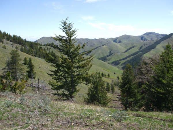
When snow blankets the trails in Montana’s high country, head to the Highwood Mountains for this lower-elevation trek that traces several creeks and winds beneath Windy Mountain. The hike starts at Thain Creek Campground and travels north for 1,000 feet to the first trail junction. Turn right, heading east, for a 2.3-mile climb along Briggs Creek. During this stretch, you’ll be treated to intermittent views of Highwood Baldy, the tallest peak in the Highwood Mountains. After cresting a small saddle at mile 2.5, turn left onto Trail 454 for a rolling traverse to Windy Mountain Pass. If you have time to spare, take the scenic detour at the top of the pass to the 5,998-foot summit of Windy Mountain (you won’t regret the view). From here, it’s a 2.7-mile descent along Thain Creek to the trailhead.
-Mapped by Stacey Thurlow and Mark Taylor
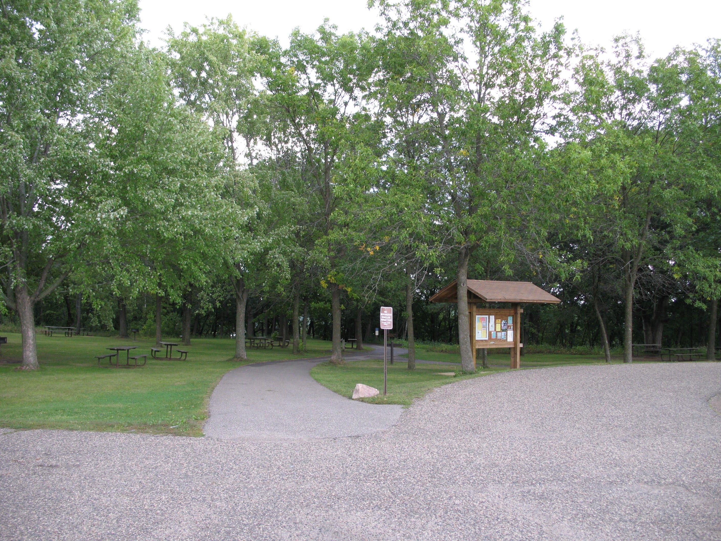
TO TRAILHEAD: US 87 S to MT 228/Highwood Rd. In 13.7 miles, turn left to stay on Highwood Rd./MT 228. In 6.2 miles, turn right onto Upper Highwood Creek Rd. (follow signs for Thain Creek Campground). In 6.4 miles, turn left to stay on Upper Highwood Creek Rd. In 7.1 miles, turn left onto Thain Creek Rd. Follow 1.4 miles to trailhead parking on left.

Trail Facts
- Distance: 11.4
Waypoints
WIN001
Location: 47.4759987, -110.5851924
From the Thain Creek Campground, hike north up the Thain Creek drainage for 1,000 feet.
WIN002
Location: 47.4785548, -110.5849993
Turn right @ 3-way junction, heading southeast. Ahead, the trail rounds to the east for a brief traverse into another drainage.
WIN003
Location: 47.4790298, -110.5797315
The trail veers south after the first creek crossing and descends toward Briggs Creek.
WIN004
Location: 47.4772315, -110.578047
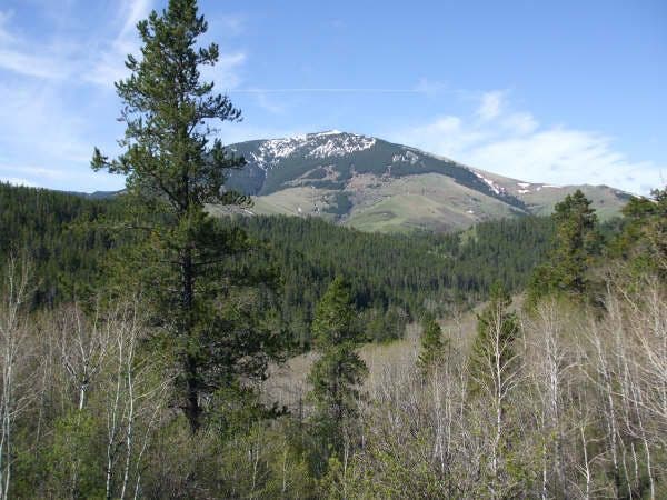
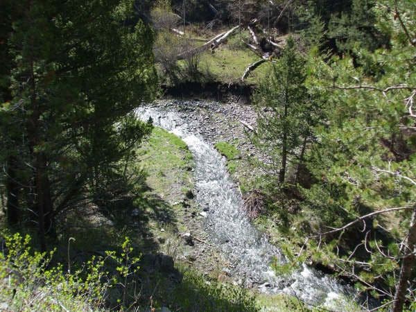
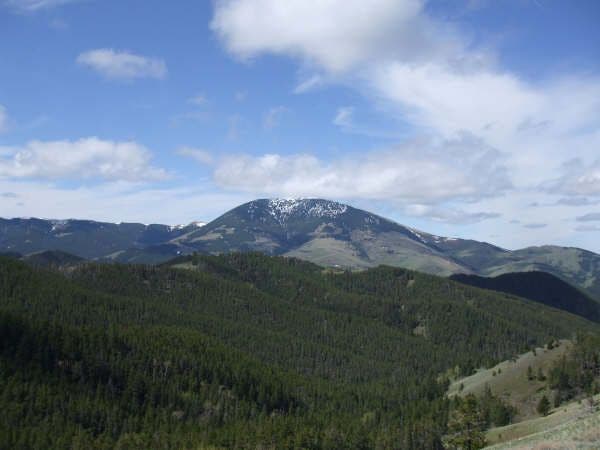
Cross Briggs Creek, then turn left. A few yards up the trail, turn around for picturesque views to the southwest of the 7,670-foot Highwood Baldy, the tallest peak in the Highwood Mountains.
WIN005
Location: 47.477449, -110.5763304
Look to the southwest for views of Highwood Baldy to the southwest. Next, continue heading east.
WIN006
Location: 47.4776811, -110.5623937
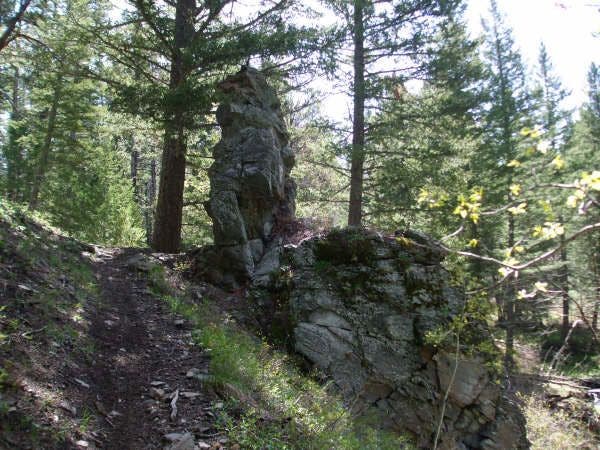
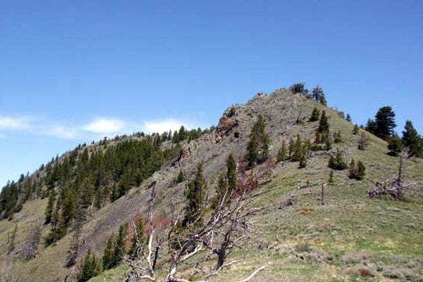
Pass a rock formation that resembles a throne. Ahead, the trail winds to the southeast.
WIN007
Location: 47.4768979, -110.5425882
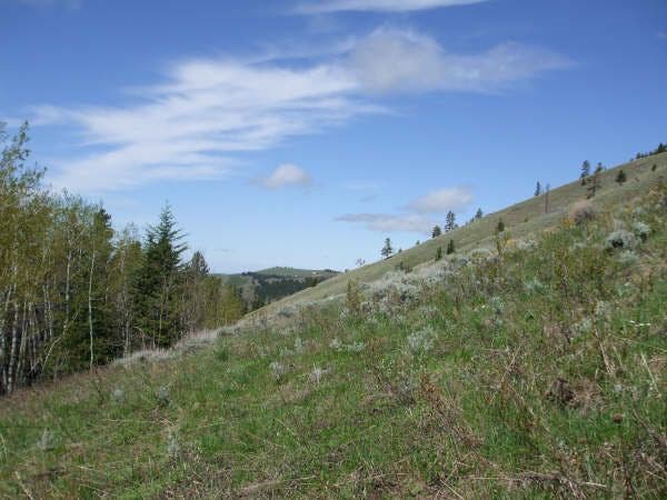
The trail crests the pass at mile 2.5. Rest your legs while taking in views of the Great Plains to the east and west. Seasonal wildflowers speckle the alpine meadow below. Next, turn left onto Trail 454 and head north (do not follow the trail that continues straight down the other side of the pass).
WIN008
Location: 47.4914714, -110.5633163
Windy Mountain Pass: That’s all for the climbing; take a breather before starting the 2.7-mile downhill stretch to the trailhead.
Add a peak: If you have the time, take a quick detour to the top of 5,998-foot Windy Mountain (just north); you won’t regret the view.
WIN009
Location: 47.4942044, -110.5683911
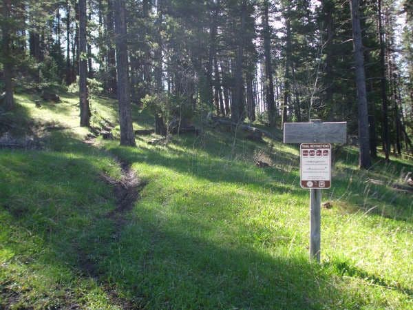
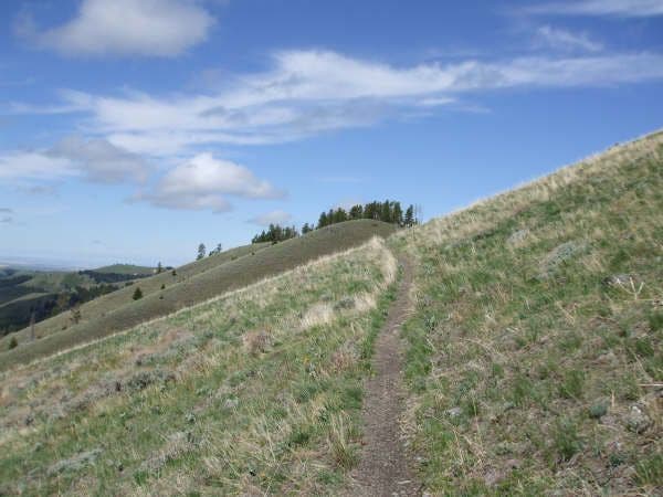
The trail traces the edge of a meadow just above treeline. Windy Mountain rises to the northeast, protecting this spot from the wind (a perfect place to stop and eat lunch).
WIN010
Location: 47.4970822, -110.5745709
Bare left off the side of the saddle, heading southwest.
WIN011
Location: 47.4905579, -110.584259
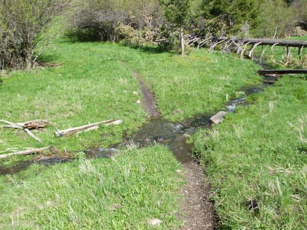
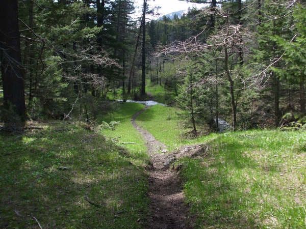
Cross a stream. Ahead, the trail travels south along Thain Creek and reconnects with Waypoint 2; keep straight @ the 3-way junction to reach the trailhead.
Highwood Mountains
Location: 47.4794721, -110.5449593
Trailhead
Location: 47.4760078, -110.5851334
First Trail Junction
Location: 47.4785548, -110.5849349
First Creek Crossing
Location: 47.4790298, -110.5795813
Highwood Baldy
Location: 47.477478, -110.5761051
Briggs Creek
Location: 47.4777391, -110.566771
Rock Throne
Location: 47.4776811, -110.5622005
Grassy Hillside
Location: 47.4767674, -110.5569649
Grassy Slopes
Location: 47.481981, -110.5463862
Trailside Views
Location: 47.4853162, -110.5481994
Wildflowers
Location: 47.4915004, -110.5531025
Open Ridgeline
Location: 47.4920368, -110.554111
Forest
Location: 47.4914714, -110.5817056
Trail
Location: 47.4839749, -110.584774