Published September 20, 2013 01:52PM
Grand Teton National Park: Shadow Mountain Loop
This 7-mile mountain bike loop climbs past spectacular views of the Tetons and the Snake River Valley, then descends on singletrack through aspens and pines.
Ride south from the Shadow Mountain parking area for a steady climb up a dirt and gravel road. The road winds through a stand of quaking aspens and offers views of the jagged Tetons. After 0.7 mile, pass a campsite overlooking the Tetons and the wide open Snake River Valley—one of the area’s best campsites.
After a sharp left turn, the trail flattens and emerges from the forest, offering a chance to catch your breath and admire more stunning mountain views. The route crests Shadow Mountain at mile 3.5, then begins a moderately technical descent that winds around trees and rocks. Turn left at the T-junction at mile 5.8 and follow the dirt and gravel road back to the trailhead.
INFO For information on permits, current trail and camp conditions, and wilderness guidelines, go to nps.gov/grte/planyourvisit/things2know.htm.
ADVERTISEMENT
PERMIT A wilderness permit is required for all overnight camping in the backcountry. Reservations accepted ($20 administrative fee for permits during peak season). nps.gov/grte/planyourvisit/back.htm
CONTACT Grand Teton National Park, (307) 739-3300; nps.gov/grte/
-Mapped by Kari Bodnarchuk


Trail Facts
- Distance: 11.3
Waypoints
SHA001
Location: 43.703834, -110.62207
Ride south from the Shadow Mountain parking area for a steep and steady climb up a dirt and gravel road. The road winds through aspens and offers views of the Tetons.
SHA002
Location: 43.699783, -110.619186
Pass Ditch Creek campsite on the right and continue southeast up the dry and dusty road. Caution: This road turns slick when wet and becomes impassable (clumps of dirt stick to tires).
SHA003
Location: 43.699982, -110.615913
After a sharp switchback and another 100 vertical feet, pass a campsite on the left. Perched on a ledge overlooking the Tetons and the wide open Snake River Valley below.
SHA004
Location: 43.698101, -110.591904
ADVERTISEMENT
After a sharp left turn, the trail flattens out and emerges from the forest, offering a chance to catch your breath and admire stunning views of the Tetons to the west. Continue up two more steep and burly hills to the summit.
SHA005
Location: 43.711285, -110.586014
Crest the summit of Shadow Mountain, then turn left onto singletrack and begin a quick, moderately technical descent. Trail heads into wooded area, winding around trees and rocks. Halfway down, maneuver through a steep and sandy section.
SHA006
Location: 43.719215, -110.60038
Bear left @ Y-junction, heading west. Dusty trail drops into woods, passing through more aspen (keep an eye out for bears).
SHA007
Location: 43.719601, -110.616882
Turn left @ T-junction onto wide, dirt and gravel road. Follow 1.2 miles back to trailhead.
Trailhead Views
Location: 43.70384, -110.621853
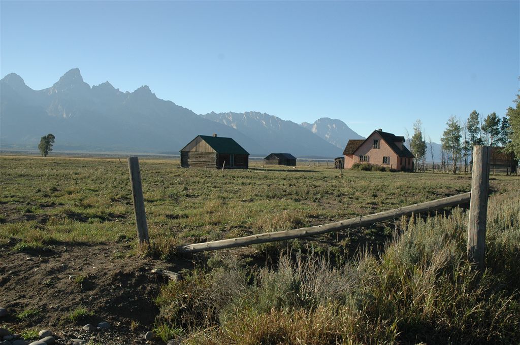
The Tetons and Snake River Valley
Location: 43.699977, -110.615652