Grand Teton National Park: Rockefeller Preserve Loop

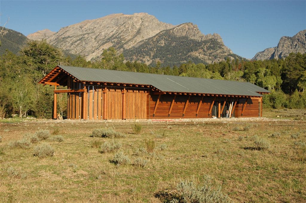
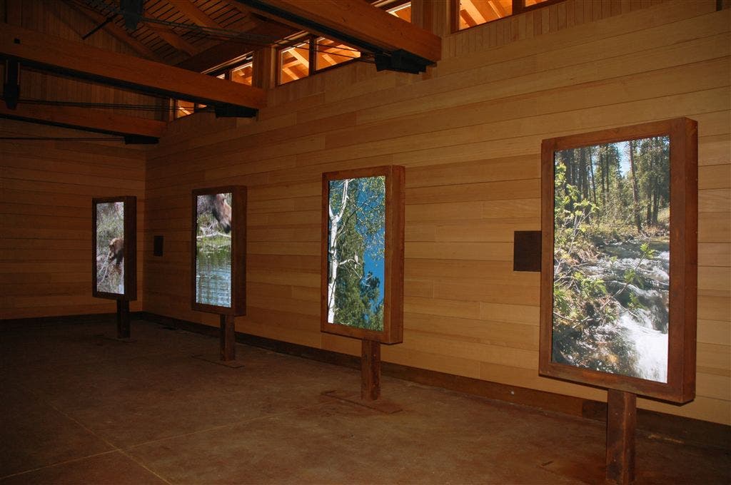
This scenic, 3-mile loop tours a wide range of ecosystems in the Laurance S. Rockefeller Preserve, a 1,106-acre ranch donated to Grand Teton National Park and opened to the public in June 2008. From the parking area, follow a winding gravel path through a sagebrush meadow and past an aspen grove to the visitor center—step inside the center to view multimedia exhibits on the preserve.
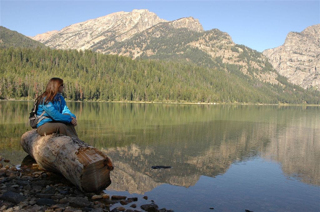
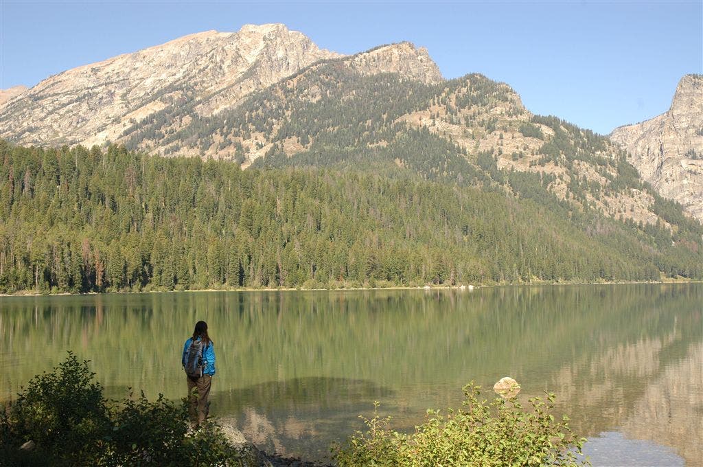
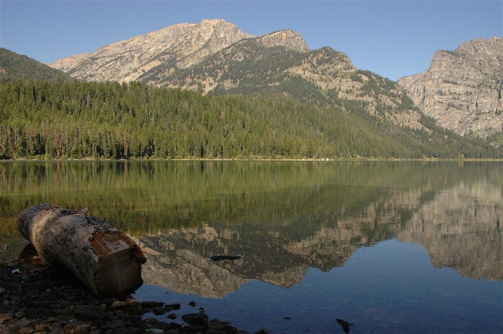
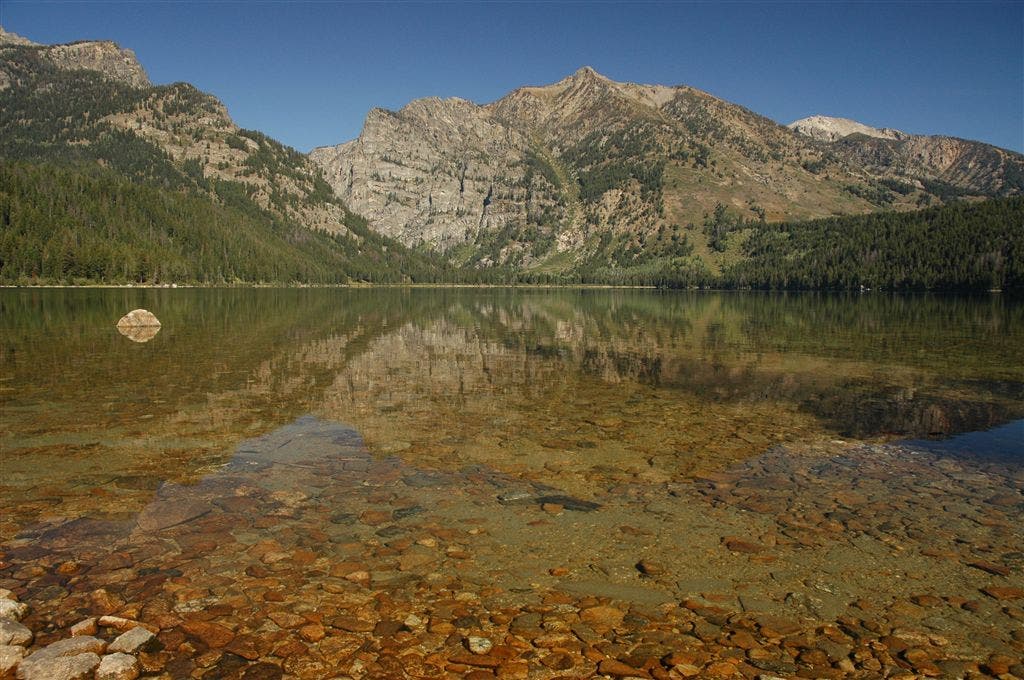
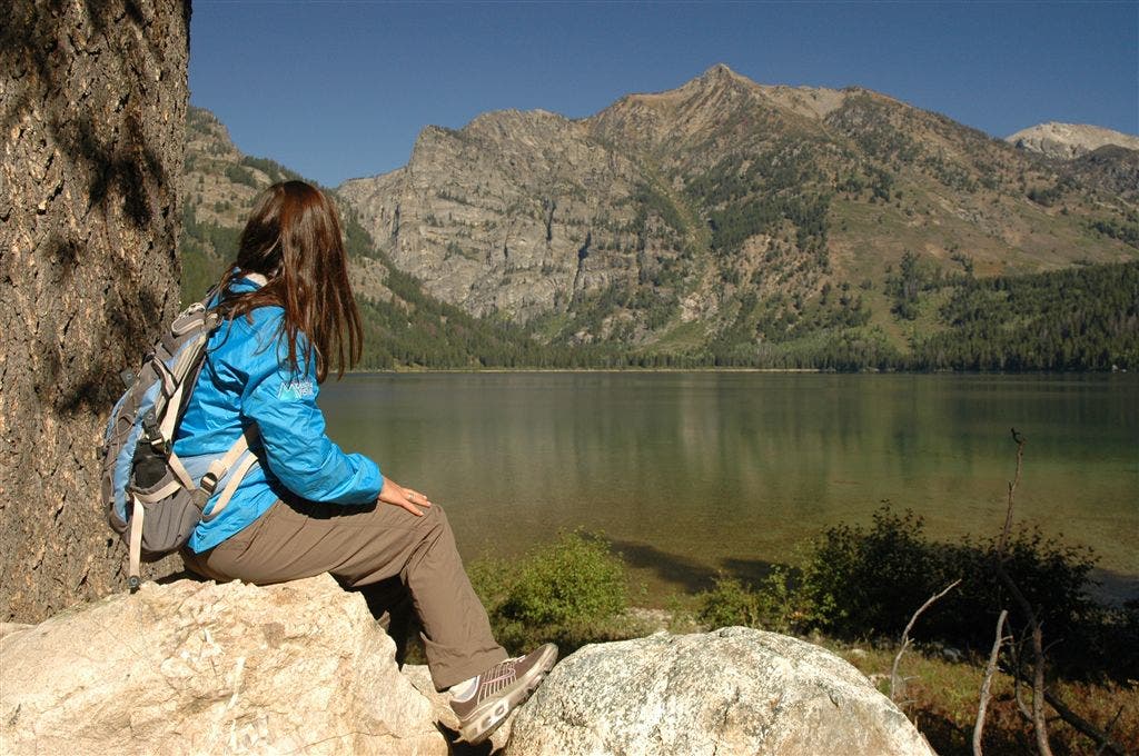
From here, the trail winds through forests of lodgepole pine, Douglas fir, and blue spruce, and parallels Lake Creek. Listen for the high-pitched cries of elk, and watch for deer and Clark’s nutcrackers. After 1.5 miles, the path traces the southern shore of Phelps Lake, offering spectacular views of the Tetons and the lake, before turning south for the trip back to the trailhead.
INFO For information on permits, current trail and camp conditions, and wilderness guidelines, go to nps.gov/grte/planyourvisit/things2know.htm.
PERMIT A wilderness permit is required for all overnight camping in the backcountry. Reservations accepted ($20 administrative fee for permits during peak season). nps.gov/grte/planyourvisit/back.htm
CONTACT Grand Teton National Park, (307) 739-3300; nps.gov/grte/
-Mapped by Kari Bodnarchuk
Trail Facts
- Distance: 4.9
Waypoints
WPT003
Location: 43.6276473999023, -110.777282714844
At Y jct., bear L, cross bridge over creek and follow narrower, dirt-packed Lake Creek Trail through forest of lodgepole pines and Douglas fir; trail follows creek, which lies in a gulley to R of trail, and offers peek-a-boo views of the Tetons.
WPT011
Location: 43.6306991577148, -110.78604888916
At 4-way jct., where Boulder Ridge Trail comes in on L and Aspen Ridge Trail comes in on R, continue straight on Woodland Trail; watch for deer and pass open hillside dotted with aspens and pine trees, and giant rock blanketed in green and white lichen.
WPT002
Location: 43.6270484924316, -110.775535583496
Visitor’s/interpretive center [OFFICIAL NAME?], which has audio and visual displays/exhibits on the new preserve and its 7 different ecosystems, and overlooks 10,552-foot Albright Peak; from center, follow wheelchair-accessible Lake Creek Trail, a dirt [CHECK] path, to creek at junction of Woodland Trail.
WPT005
Location: 43.6262817382812, -110.785453796387
At 4-way jct., (Boulder Ridge Trail to R, Aspen Ridge Trail to L), continue straight for gentle ascent up dirt-packed and pine needle trail, keeping creek on R; pass through forest of blue spruce and lodgepole pine.
WPT008
Location: 43.6349334716797, -110.791152954102
Great lookout spot; follow Phelps Lake Trail E, keeping lake on your L for several hundred feet, and then turn S on trail, around inlet, briefly leaving lake views behind.
WPT001
Location: 43.6273651123047, -110.773063659668
From parking lot, follow winding gravel path through sagebrush meadow and past aspen grove to visitor’s center (a must-see; VISITORS MUST STOP HERE BEFORE ENTERING PARK; ENTRANCE FEE?). Note bear claw marks on tree in aspen grove.
WPT007
Location: 43.6340484619141, -110.791015625
At 4-way jct. (restrooms to R and, in about 50 feet, jct. for Lake Loop Trail), continue straight .1 mile to Phelps Lake; sit on the bench or boulders along shore and take in the stunning views of the lake, the sandy beach (and campsites) on the opposite shore and Albright Peak rising above it.
WPT006
Location: 43.630298614502, -110.788902282715
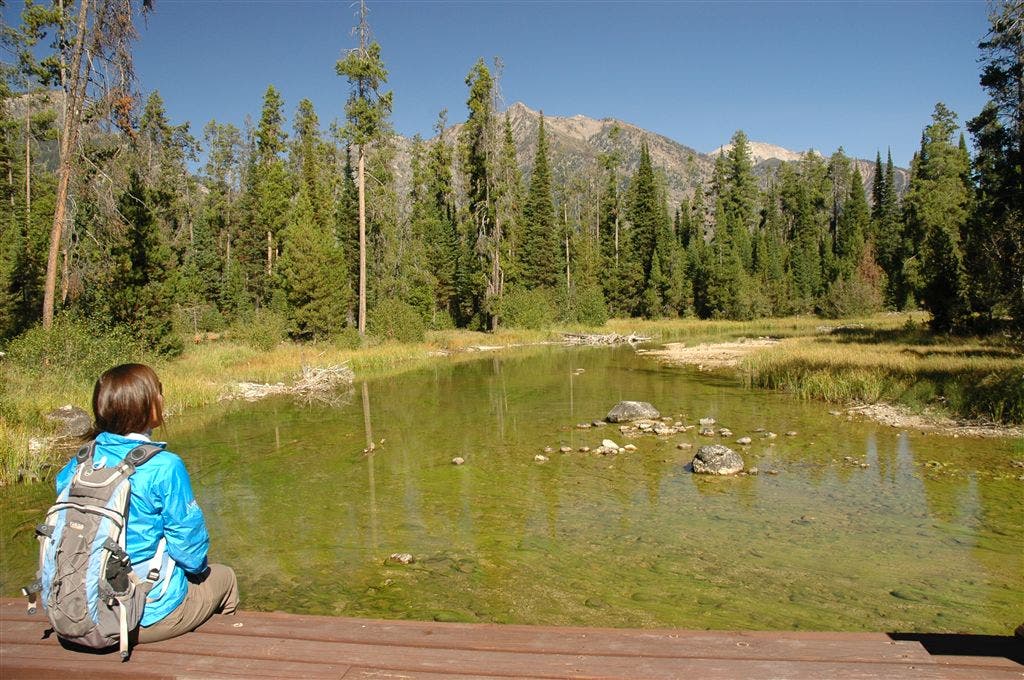
Pass straight through this open field, which offers clear views of the Tetons straight ahead/to the W (trail can be hard to spot in the field, keep creek on your R); keep an eye out for clark’s nutcrackers and deer as you cross over [WOODEN?]bridge in wetland area.
WPT012
Location: 43.6291351318359, -110.780601501465
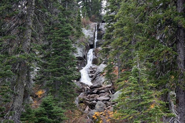
Caution: Cross Moose-Wilson Road and switchback down hillside toward creek. In XX feet, at Y jct. (same location as WPT 3), turn L onto Lake Creek Trail [CHECK IF THAT’S ITS NAME HERE], pass waterfall in about 100 feet, and continue on trail back past visitor’s center to parking lot/trailhead.
WPT009
Location: 43.6349334716797, -110.789916992188
Confusing Y jct. (no sign) [CHECK]; when trail splits, bear R and continue on Phelps Lake Trail, passing restrooms on R; cross bridge and follow singletrack, dirt trail through tangy forest [OF WHAT? WHAT GIVES IT SHARP, SPICY SMELL?]; benches along trail.
WPT010
Location: 43.634407043457, -110.787902832031
Jct., Phelps Lake Trail continues straight and loops around lake; here, turn R onto the Woodland Trail and leave lake views behind for good. Listen for the high-pitched cries of elk and keep an eye out for elk tracks on path; several glacial erratics found alongside this section of trail; the dirt-packed (with some small stones) Woodland Trail passes through open forest and across several grassy meadows where young pine trees soak up the sun.
WPT004
Location: 43.6254844665527, -110.783584594727
Caution: Cross Moose-Wilson Road and continue on dirt-packed trail, keeping creek on your R; keep an eye out for elk tracks and scat along trail.