Grand Teton National Park: Jenny Lake and Hidden Falls

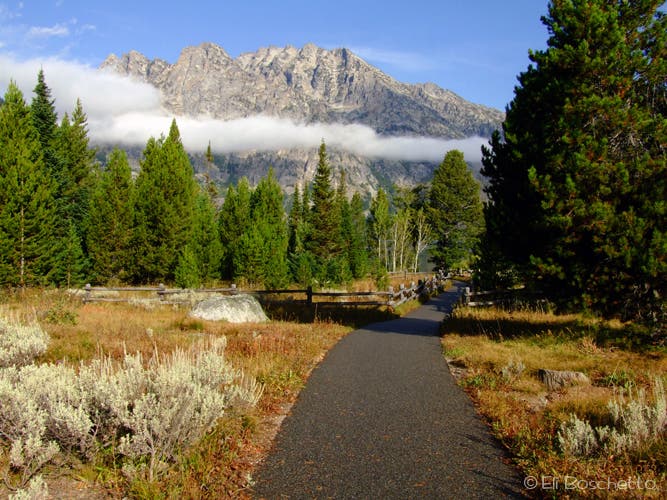
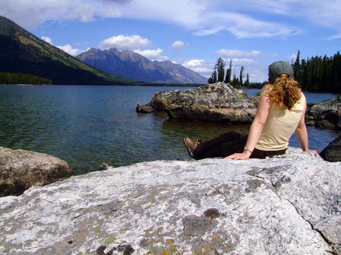
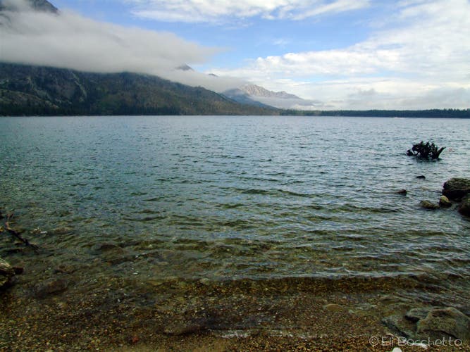
Jenny Lake can draw scores of visitors on summer days, but this 8-mile loop leaves the crowds behind, passing postcard-worthy views from every direction, including Hidden Falls. From the flagpole at the Jenny Lake Visitor Center, take the paved trail toward the lakeshore. Turn left to start the clockwise loop.
In .25 miles, cross the bridge and pass the boat docks to leave the crowds behind. Continue around the south end of the lake, where there are chances for short side hikes to Bradley Lake and Moose Pond. From there, hike one mile along the lakeshore.
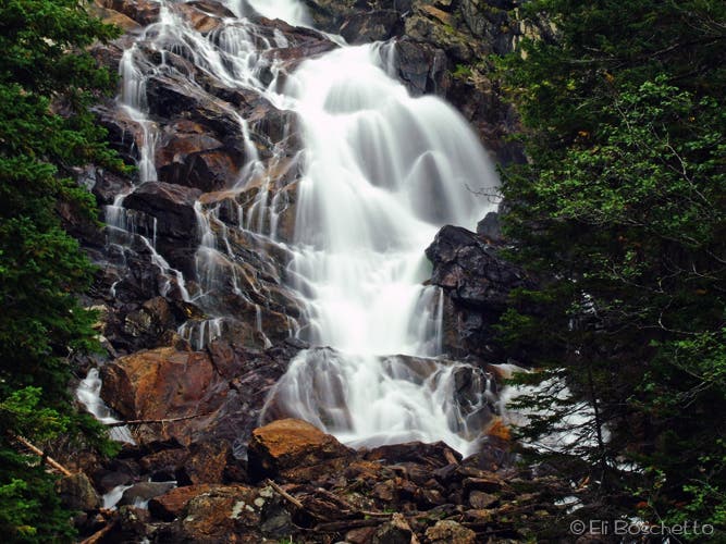
At 2.3 miles, start the first climb, following signs for Hidden Falls. From the viewpoint at 2.7 miles, enjoy the sight of the 80-foot Hidden Falls, nestled in the high, rocky grove.
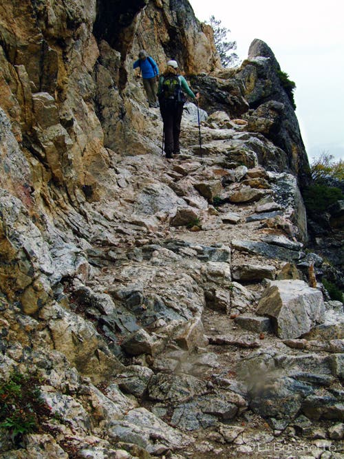
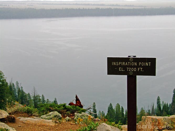
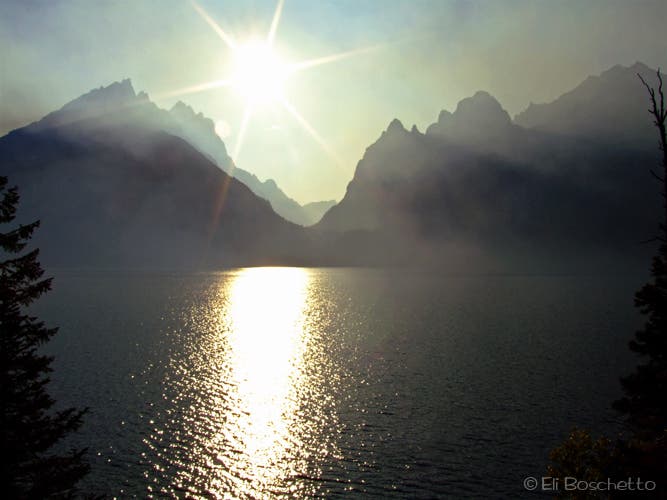
Next, start the 400-ft. climb to Inspiration Point. From the top, enjoy sweeping views across Jenny Lake and of the towering peaks behind. Continue west on the trail to the Cascade Canyon trail junction, which takes a quick, .6-mile descent toward the lakeshore.
At mile 4, head left at the junction and continue for one mile around Jenny Lake. Hike through a burn area and, at the inlet, turn north and hike .5-miles toward String Lake trailhead.
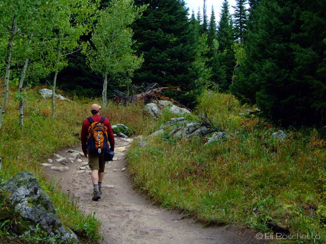
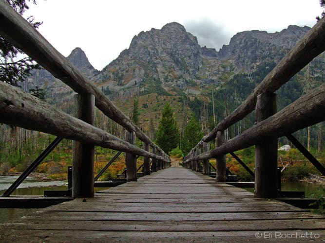
To complete the Jenny Lake loop, head right over the bridge onto a shaded path that runs along the shoreline for the last 2 miles. Catch glimpses of Cascade Canyon, Teewinot Peak, Mt. St. John, and Rockchuck Peak along the way. Also, keep your eye out for moose and deer roaming small wooded meadows on this last stretch.
INFO For information on permits, current trail and camp conditions, and wilderness guidelines, go to nps.gov/grte/planyourvisit/things2know.htm.
PERMIT A wilderness permit is required for all overnight camping in the backcountry. Reservations accepted ($20 administrative fee for permits during peak season). nps.gov/grte/planyourvisit/back.htm
CONTACT Grand Teton National Park, (307) 739-3300; nps.gov/grte/
-Mapped by Eli Boschetto, Bosco Mountain Photo
Trail Facts
- Distance: 13.6
Waypoints
JEN001
Location: 43.751756, -110.722323
Start the Jenny Lake loop at the flagpole near the ranger station. Pick up an illustrated map at the sign board, and take in the view of Teewinot Mountain from the trailhead.
JEN002
Location: 43.752838, -110.723391
Fork left at this paved junction (right leads to Jenny Lake Campground). Enjoy the view of Cascade Canyon, Mt. St. John and Rockchuck Peak over Jenny Lake.
JEN003
Location: 43.753134, -110.723702
Turn left to begin the clockwise loop. Take in more big views of Teewinot Mountain and Mt. St. John.
JEN004
Location: 43.751571, -110.725376
Cross the bridge at the boat dock. Many visitors take boats across Jenny Lake to view Hidden Falls.
JEN005
Location: 43.749808, -110.729528
Pass the drive-in boat ramp. Look northward over Jenny Lake to catch a view of Rockchuck Peak and Mt. St. John.
JEN006
Location: 43.747822, -110.73622
Keep straight on the main trail at the Bradley Lake trail junction.
JEN007
Location: 43.74846, -110.739087
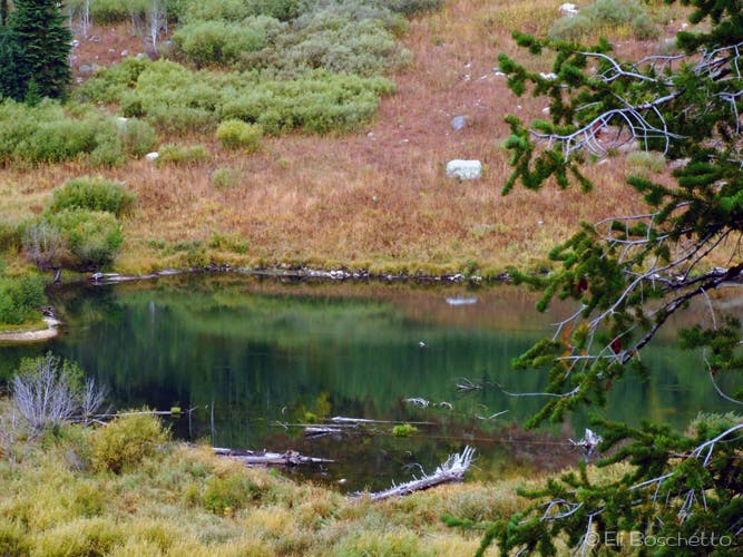
Continue straight. Side trip: Turn left onto the Moose Ponds trail for a short side loop around marshy ponds. Keep an eye out for moose at the viewpoint over the pond.
JEN008
Location: 43.750101, -110.739478
At the horse trail junction, head right to continue along the shoreline.
JEN009
Location: 43.765007, -110.74507
Take a quick side trail to an overlook above Cascade Creek.
JEN010
Location: 43.764878, -110.745366
Bear left and start a gentle climb along Cascade Creek. The trail on the right leads to the boat dock.
JEN011
Location: 43.76472, -110.749533
Bear left for the quick trip to see Hidden Falls.
JEN012
Location: 43.765113, -110.750508
Hidden Falls: This popular 200-foot cascade is visited by scores of tourists who arrive by boat. Return to JEN011 and turn left across the bridge.
JEN013
Location: 43.766921, -110.748349
Rocky switchbacks lead to this perch on Inspiration Point. Look eastward across Jenny Lake toward the Snake River Valley. From here, follow the trail west for half a mile to the three-way junction.
JEN014
Location: 43.767282, -110.754391
Turn right. The trail on the left leads into Cascade Canyon.
JEN015
Location: 43.768971, -110.744601
Back at the lakeshore, bear left to continue around Jenny Lake. The trail on the right runs back to the boat dock.
JEN016
Location: 43.781687, -110.73068
At the String Lake trail junction, head right to continue around Jenny Lake. Head left to loop around String Lake, or to Paintbrush Canyon.
JEN017
Location: 43.78401, -110.72749
From the bridge, enjoy a view of Rockchuck Peak towering overhead. After crossing String Lake outlet, head right to continue around Jenny Lake. The left fork loops around String Lake, and leads to Leigh Lake and Paintbrush Canyon.
JEN018
Location: 43.772116, -110.719228
Pass the junction with the horse trail and the route to Jenny Lake Lodge.
JEN019
Location: 43.768181, -110.71764
Stop at this point for views across Jenny Lake to Cascade Canyon, Mt. St. John and Teewinot Mountain.
JEN020
Location: 43.755531, -110.721454
Continue straight at the 4-way junction to complete the loop back at the ranger station.
Lake Trailhead
Location: 43.752203, -110.722597
Lake View
Location: 43.753138, -110.723651
Jenny Lake
Location: 43.750033, -110.729871
Moose Ponds
Location: 43.74887, -110.739655
Lake Trail
Location: 43.750544, -110.739162
Jenny Lake
Location: 43.756341, -110.740728
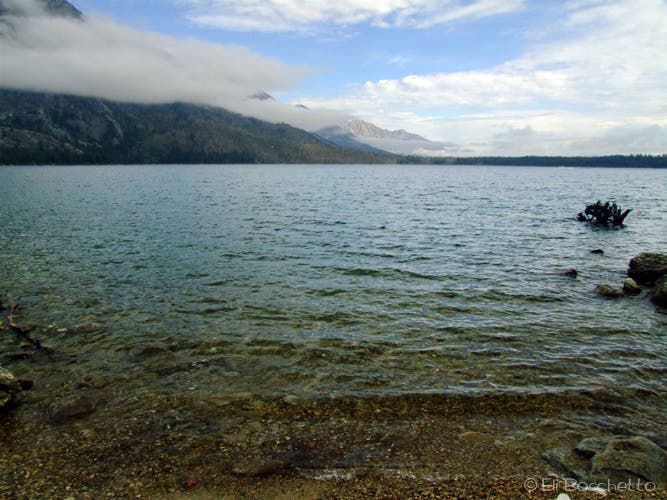
View north across Jenny Lake.
Cascade Canyon
Location: 43.765113, -110.747166
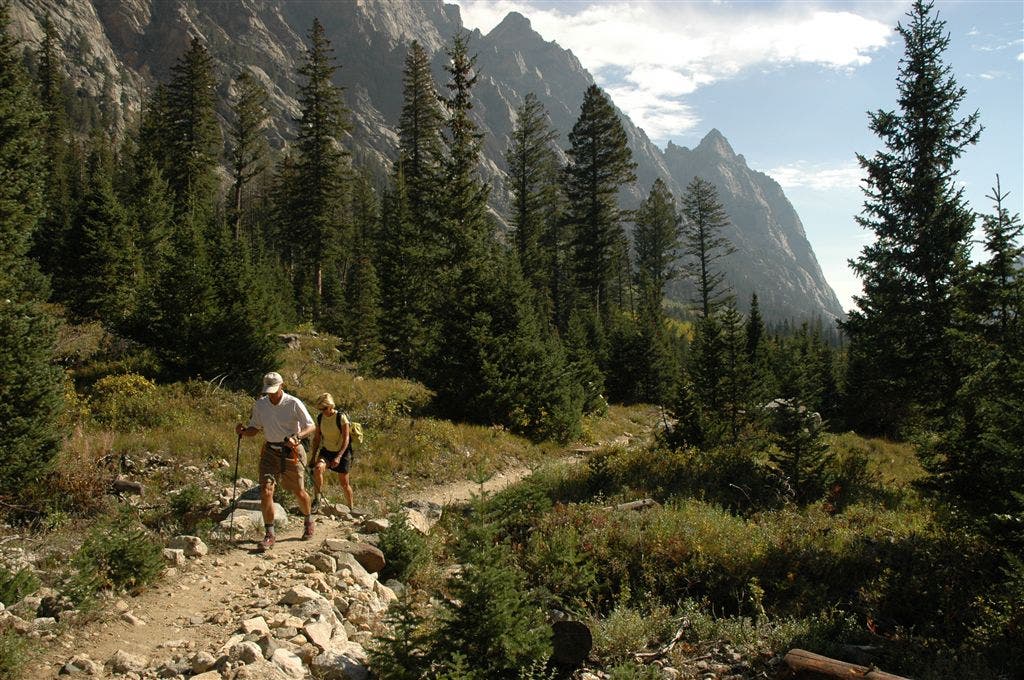
View up the steep walls of Cascade Canyon.
Hidden Falls
Location: 43.765159, -110.750642
Going Up
Location: 43.766259, -110.74914
Inspiration Point
Location: 43.767003, -110.748196
Storm Clearing
Location: 43.777632, -110.732145
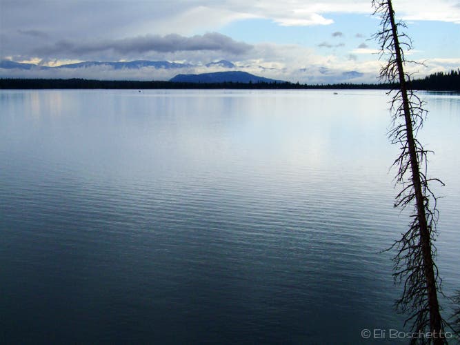
View south from String Lake inlet.
String Creek
Location: 43.779708, -110.730708
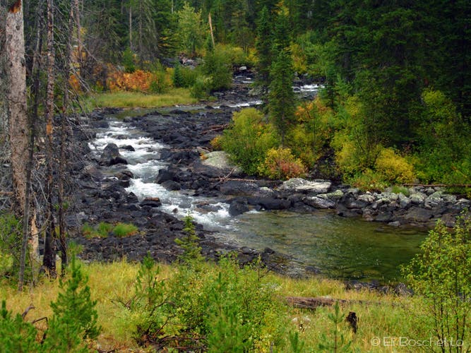
Short inlet creek between String and Jenny Lakes.
String Lake Crossing
Location: 43.784062, -110.727811
Viewpoint
Location: 43.76815, -110.717125