Grand Teton National Park: Jenny Lake and Hanging Canyon Loop
Come summer, the established trails near Jenny Lake can be hiker magnets. Your solution: This 12.4-mile circuit that tours several of the park’s must-see sights before ducking onto an unofficial trail that doesn’t appear on area maps. From the ranger station near Jenny Lake Campground, pick up the well-maintained Valley Trail around the lake’s southern shoreline.
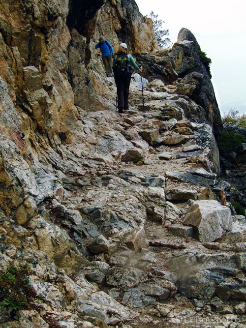
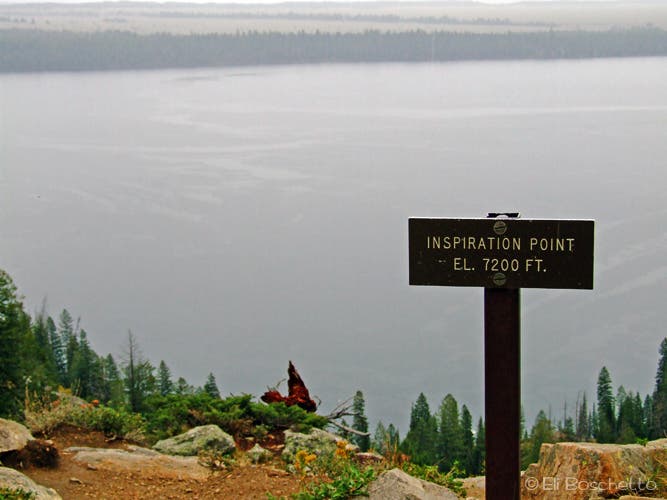
After 2.5 miles, bear left at the fork for a gentle climb up the Cascade Creek drainage to Hidden Falls, which plummets 200 feet down tiers of boulders. Next, cross a bridge over the creek and follow the switchbacks to Inspiration Point, a rocky pulpit overlooking the entire lake. From here, the trail curves west into Cascade Canyon for less than half a mile to a junction; turn right and descend to Jenny’s western shore.
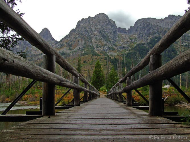
At mile 4.3, turn left on the Valley Trail and hike north for .1 mile. Immediately after crossing a stream (mile 4.4) on a small bridge, watch closely for an unsigned turnoff into Hanging Canyon; veer left here. Keep the stream on your left as you follow the obvious user path—soft with decomposing trees and crowded by ferns and towering stalks of purple monkshood—through lush terrain reminiscent of the Pacific Northwest.
Soon after the route enters the canyon, the climbing ramps up (you’ll notch 2,800 feet in the next 1.5 miles) as the trail switchbacks up a forested hillside slowly recovering from a wildfire nearly a decade ago. Pass Ribbon Cascade, where narrow bands of water plunge down tiered outcrops, and maneuver around intermittent stretches of thick deadfall caused by heavy snows in 2011.
At mile 5.3, contour southwest across patches of slabby granite to reach Arrowhead Pool, the first of the canyon’s three lakes. Drop down a spur to the shore, then continue another three-quarters of a mile on a path that runs along the north side of Ramshead Lake to Lake of the Crags, tucked into a pinched cirque of towering rock walls. (Tempted to stay longer? There’s one campsite per lake.) Descend back to the canyon’s mouth and turn left. The final 4.5 miles wrap around the north and east shores of Jenny Lake to the ranger station.
INFO For information on permits, current trail and camp conditions, and wilderness guidelines, go to nps.gov/grte/planyourvisit/things2know.htm.
PERMIT A wilderness permit is required for all overnight camping in the backcountry. Reservations accepted ($20 administrative fee for permits during peak season). nps.gov/grte/planyourvisit/back.htm
CONTACT Grand Teton National Park, (307) 739-3300; nps.gov/grte/
-Mapped by Eli Boschetto and Molly Loomis
Trail Facts
- Distance: 19.9
Waypoints
JEN001
Location: 43.751749, -110.722334
Start the Jenny Lake loop at the flagpole near the ranger station. Pick up an illustrated map at the sign board, and take in the view of Teewinot Mountain from the trailhead.
JEN002
Location: 43.752838, -110.723391
Fork left at this paved junction (right leads to Jenny Lake Campground). Enjoy the view of Cascade Canyon, Mt. St. John and Rockchuck Peak over Jenny Lake.
JEN003
Location: 43.753137, -110.723712
Turn left to begin the clockwise loop. Take in more big views of Teewinot Mountain and Mt. St. John.
JEN004
Location: 43.751513, -110.725461
Cross the bridge at the boat dock. Many visitors take boats across Jenny Lake to view Hidden Falls.
JEN005
Location: 43.749808, -110.729528
Pass the drive-in boat ramp. Look northward over Jenny Lake to catch a view of Rockchuck Peak and Mt. St. John.
JEN006
Location: 43.747822, -110.73622
Keep straight on the main trail at the Bradley Lake trail junction.
JEN007
Location: 43.74846, -110.739087
Continue straight. Side trip: Turn left onto the Moose Ponds trail for a short side loop around marshy ponds. Keep an eye out for moose at the viewpoint over the pond.
JEN008
Location: 43.750101, -110.739478
At the horse trail junction, head right to continue along the shoreline.
JEN009
Location: 43.765007, -110.74507
Take a quick side trail to an overlook above Cascade Creek.
JEN010
Location: 43.765082, -110.745406
Bear left and start a gentle climb along Cascade Creek. The trail on the right leads to the boat dock.
JEN011
Location: 43.764989, -110.75018
Bear left for the quick trip to see Hidden Falls.
JEN012
Location: 43.765066, -110.751151
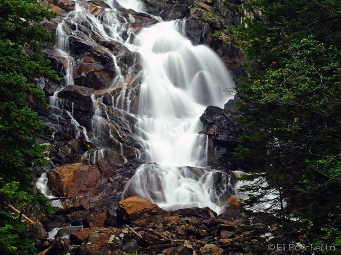
Hidden Falls: This well-loved 200-foot cascade is visited by scores of tourists who arrive by boat. Return to JEN011 and turn left across the bridge.
JEN013
Location: 43.766921, -110.748349
Rocky switchbacks lead to this perch on Inspiration Point. Look eastward across Jenny Lake toward the Snake River Valley. From here, follow the trail west for half a mile to the three-way junction.
JEN014
Location: 43.767065, -110.754375
Turn right. The trail on the left leads into Cascade Canyon.
JEN015
Location: 43.768986, -110.744623
Back at the lakeshore, bear left to continue around Jenny Lake. The trail on the right runs back to the boat dock.
JEN016
Location: 43.770094, -110.743008
Immediately after crossing the creek on a small footbridge (and .1 mile past JEN015), turn left at the unmarked junction. (This trail does not appear on area maps.) Keep the stream on your left as you follow the well-beaten path (soft with decomposing trees and crowded by ferns and towering stalks of purple monkshood) through lush terrain reminiscent of the Pacific Northwest.
JEN017
Location: 43.770908, -110.74355
Soon after entering the canyon, the climbing ramps up (you’ll notch 2,800 feet in the next 1.5 miles), as the trail switchbacks up a forested hillside slowly recovering from a wildfire nearly a decade ago.
JEN018
Location: 43.774905, -110.749698
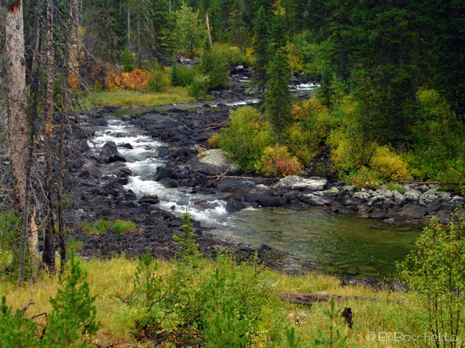
Pass Ribbon Cascade, where narrow bands of water plunge down tiered outcrops, and maneuver around intermittent stretches of thick deadfall caused by heavy snows in 2011.
JEN019
Location: 43.775974, -110.755792
At mile 5.3, contour southwest across patches of slabby granite to reach Arrowhead Pool, the first of the canyon’s three lakes.
JEN020
Location: 43.775665, -110.758646
Drop down a spur to the shore, then continue another three-quarters of a mile on a path that runs along the north side of Ramshead Lake to Lake of the Crags.
JEN021
Location: 43.777205, -110.764027
Ramshead Lake
JEN022
Location: 43.776005, -110.770726
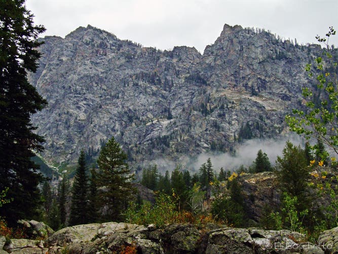
Lake to Lake of the Crags: This tarn is tucked into a pinched cirque of towering rock walls. Next, descend back to the mouth of the canyon and turn left.
JEN023
Location: 43.77018, -110.742617
Follow the lakeside trail to the northeast.
JEN024
Location: 43.781687, -110.73068
At the String Lake trail junction, bear right to continue around Jenny Lake.
JEN025
Location: 43.78401, -110.72749
From the bridge, enjoy a view of Rockchuck Peak towering overhead. After crossing String Lake outlet, turn right to continue around Jenny Lake.
JEN026
Location: 43.768181, -110.717511
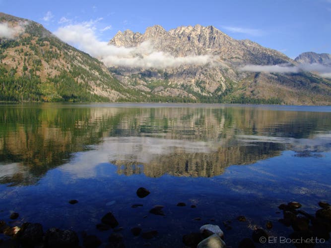
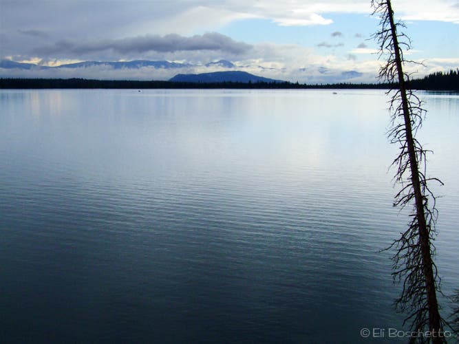
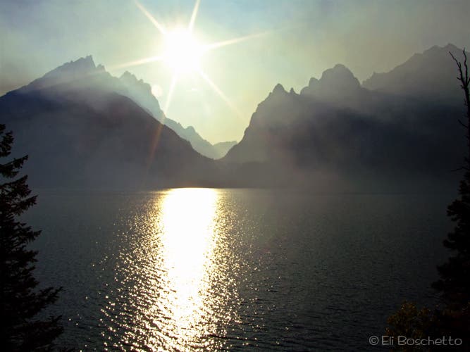
Stop at this point for views across Jenny Lake to Cascade Canyon, Mt. St. John and Teewinot Mountain.
JEN027
Location: 43.755531, -110.721454
Continue straight at the 4-way junction to complete the loop back at the ranger station.
Trailhead
Location: 43.752203, -110.722597
Jenny Lake
Location: 43.753138, -110.723651
Views of Cascade Canyon
Location: 43.765113, -110.747166
Hidden Falls
Location: 43.765159, -110.750642
Trail to Inspiration Point
Location: 43.766259, -110.74914
Inspiration Point
Location: 43.767003, -110.748196
View from the northern shore of Jenny Lake
Location: 43.777632, -110.732145
String Creek
Location: 43.779708, -110.730708
String Lake Crossing
Location: 43.784062, -110.72781
Views of the Tetons
Location: 43.76815, -110.717125