Published September 20, 2013 02:24AM
Grand Junction, CO: Crag Crest Trail
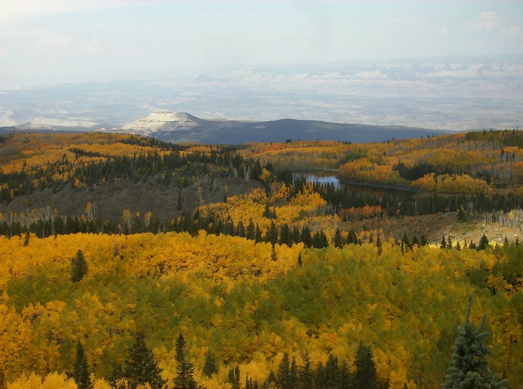
Stand atop 11,237-foot Grand Mesa, the world’s highest mesa.
'Jay Gannett'
The West trailhead’s 10.3-mile loop opens to 6.5 miles of exposed but nontechnical ridges with views of the San Juan Mountains, 300-plus alpine lakes, and the Book Cliffs. As you climb atop Grand Mesa well above 11,000 feet, you’ll be rewarded with views for over 100 miles on clear days.
To complete the entire 10-mile loop, begin the hike from the Crag Crest West trailhead. (You can also begin at the Crag Crest East trailhead, which is located about 200 feet lower.) From the West trailhead, hike about a half mile, and you’ll reach a marked junction for the Crest Trail and Lower Loop. Turn left to hike toward the Cottonwood trail and Crest. After about a mile, the trail will begin to climb steeply, gaining 200 feet by the time you get to the Cottonwood trail. Be prepared, it gets steeper later in the hike.
As you approach the ridge, the trail will level out and you’ll get a view of the Cottonwood Reservoirs below, the Elk Range to the east and Utah’s La Sal mountains to the west. The ridge continues for three miles, with some extremely narrow sections. Continue about two miles from the east end of the ridge to the Lower Trail junction.
ADVERTISEMENT
After dropping about 750 feet along the ridge, the Lower Trail climbs immediately, and continues to climb for about half a mile. On the Lower Trail, you’ll travel through wooded areas and wildflower-covered hillsides until you get to the junction with the Visitor’s Center. Continue 0.6 miles to return to the West Trailhead.
Permit none Contact Grand Mesa National Forest