Tanner and Beamer Trails: Hike to Little Colorado River in Grand Canyon National Park

"None"
Here’s the deal: This 37-mile trip, connecting the Tanner and Beamer trails to the Little Colorado River in Grand Canyon National Park is for seasoned, fit hikers with solid navigation skills. If that’s you, read on. If not, amp up your adventure resume with other Grand Canyon hikes before trying this challenging trek to beachside campsites, a plane crash site, and 100-year-old mining ruins.
Trail Facts
Distance: 37-mile round trip
Elevation Gain: 9,600 feet
Difficulty: Very Challenging
The Route: Tanner and Beamer Trails to Little Colorado River
Day One: Lipan Point to Lava Canyon Rapids
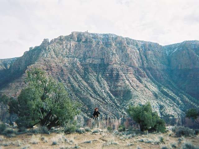
To start, drop off the South Rim from Lipan Point on the Tanner Trail. It’s a 4,600-foot, 9-plus-mile, knee-buckling descent to the Colorado River and your first water source on this three- to four-day trek. Be sure you pack enough water for five hours of descending and consider dropping a water cache at Seventy-Five Mile Saddle or the top of the Redwall for your ascent back to the rim.
The first hour descends quickly through the Coconino layer, then at mile 1.2 the trail eases near the base of Escalante Butte. Next, the trail gains and loses an extra 400 feet as it S-curves around Cardenas Butte to a break in the Redwall Limestone. Tackle a series of steep switchbacks and take in long panoramic views across the red-stained canyons to the mighty Colorado River. Follow the thin but obvious trail down the steep ‘redish’ Dox sandstone slope to the Colorado River at Tanner rapids.
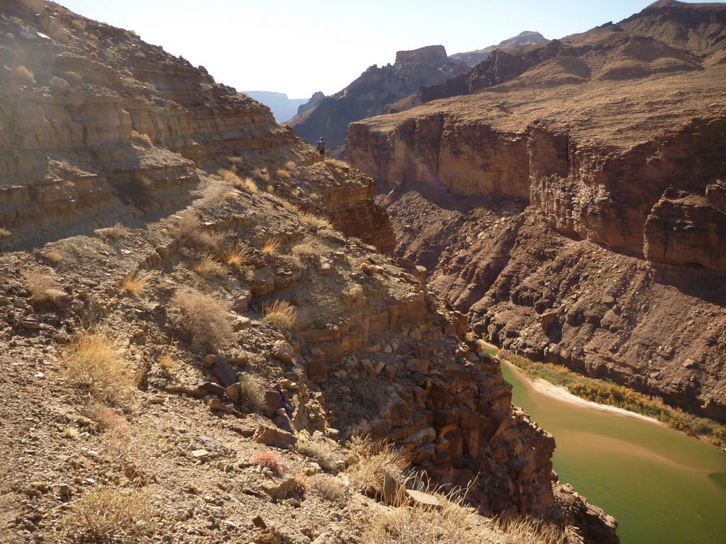
Fifty yards before the final descent to Tanner Rapids beach you’ll notice a cairn with a trail taking off to the right–that’s the start of the Beamer Trail. There are plenty of campsites on Tanner beach including a nice hidden overhang camp for those inclement weather days. You’ll also find a composting toilet as a small reminder of civilization. Refill water bottles near Tanner Rapids or continue north (upstream) on the Beamer Trail.
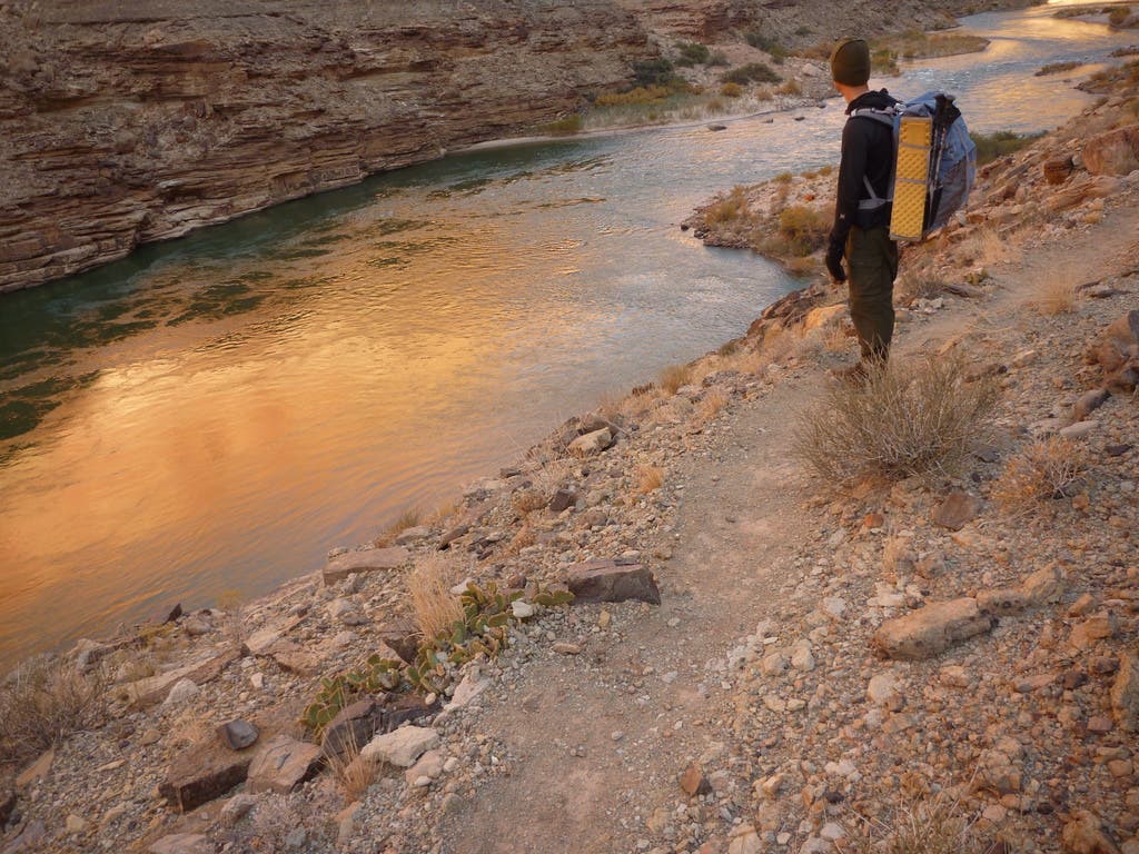
The first 3 miles on the Beamer Trail cross Comanche and Espejo creeks and follow a skinny path with some scrambles along sandstone cliffbands . The trail then drops to a sandy campsite near Lava Canyon Rapids and Palisades Creek to end a 13-mile day; it’ll take about 8-9 hours from the trailhead to here.
Day Two: Lava Canyon Rapids to Little Colorado River to Tanner Rapids
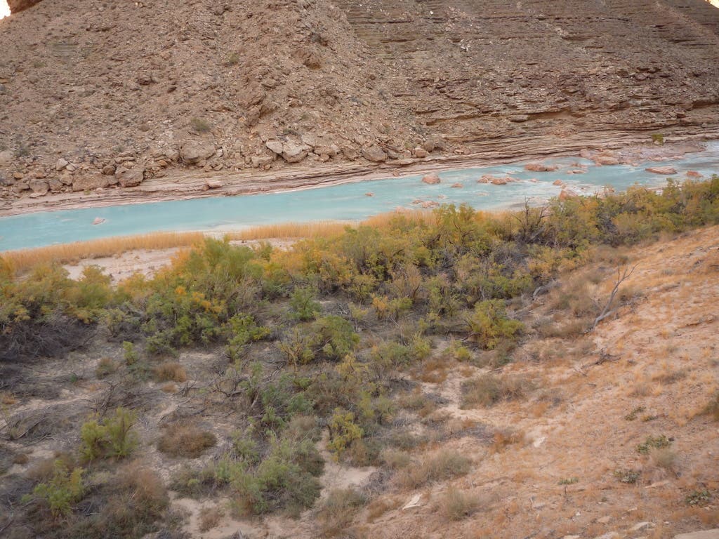
The next day leave camp with only a daypack, food, and water. Explore the leftovers of a nearby copper mine then head north again along the Colorado River where the Beamer Trail quickly ascends to the top of the Tapeats Sandstone cliffs just north of Palisades Creek. The trail skirts the Tapeats cliffs for 6 miles in and out of small drainages until the junction with the Little Colorado River.
Between Chuar and Temple buttes, look across the Colorado River to an area known as Crash Canyon. At 11:30 a.m. on June 30, 1956, airline officials received a transmission: “Salt Lake, United 718—ah—we’re going in.” Moments later, United Airlines Flight 718 collided with TWA Flight 2 over the Grand Canyon, sending both planes plummeting earthward. The fiery wreckage struck Chuar and Temple buttes near the confluence of the Colorado and Little Colorado rivers, killing all 128 people aboard. The tragedy sparked the creation of the Federal Aviation Administration (FAA). You can still see plane debris glittering in the sun on Chuar Butte.
Ahead, the Beamer Trail descends to the beach just inside the confluence of the Colorado and Little Colorado rivers. Now, follow the idyllic blues of the Little Colorado River to Beamer Cabin, a 100-year-old mining cabin. Rest and eat before heading six miles back to camp. If you camped at Lava Canyon Rapids, it’s best to backtrack an extra three miles to Tanner Rapids for night two or three, depending on your permit.
Day Three: Tanner Rapids to Lipan Point
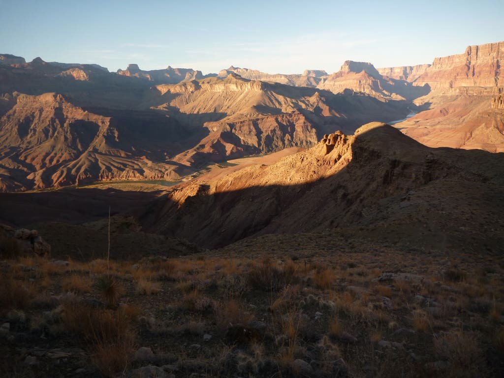
Camping your second or third night at Tanner Rapids provides the ideal position for the final day’s ascent back to Lipan Point. There is no camping allowed within 1/4-mile of the mouth of the Little Colorado River.
Permits and Logistics
Permits: Yes, backcountry permits are required. The use area covering Tanner Trail is BB9. The use area covering the Beamer Trail from Comanche Creek North is BA9. Download application at ; then fax to (928) 638-2125.
Season: March to May and October to November. From June to September, inner canyon temps from are often above 100°F. Start early to beat the midday heat. Also, don’t forget it is much easier to descend into the canyon than climb back up. Expect to spend at least double the time climbing than descending
The Map: Tanner and Beamer Trails to Little Colorado River
–Mapped by Dale Diulus and Rich Rudow