Grand Canyon National Park: Bright Angel Trail to Plateau Point

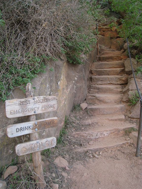
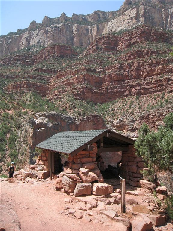
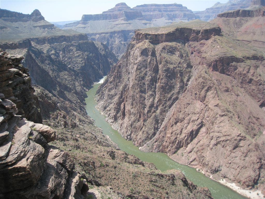
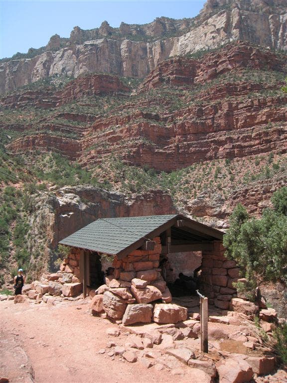
From the Bright Angel Trailhead, zigzag your way down 3,195 feet to Indian Garden, an oasis smudged into a crease in the canyon wall. From the rim, nearly 100 switchbacks snake down the canyon, etched into the red rock, cutting a thin ribbon of matted red dirt. Resthouses, complete with shade, water and an emergency telephone, are spaced in 1.5 mile intervals along the trail. At Indian Garden, veer left and head out into the canyon to Plateau Point. The point, a spectacular overlook with views of the Colorado River, and the inner canyon’s depths, is worth every bit of sweat. To return, simply make a U-turn and head back up the canyon to the South Rim and one of the best ice cream cones ever, at the Bright Angel Lodge.
-Mapped by Chelise Simmons
PLAN IT
GUIDEBOOK AND MAP Hiking Grand Canyon National Park, 3rd Edition, Ron Adkison and Ben Adkison ($19, falcon.com). Trails Illustrated Grand Canyon ($12, natgeomaps.com). Plan other trips in the park using BACKPACKER’s Grand Canyon National Park page.
CUSTOM TOPO MAPS Download tracks and waypoints, print or order custom topos, from the map tools menu on the web version of the trip report.
SEASON March to May and October to November. From June to September, inner canyon temps from are often above 100°F. Start early to beat the midday heat. Also, don’t forget it is much easier to descend into the canyon than climb back up. Expect to spend at least double the time climbing than descending
KEY GEAR Wide-brim hat and six liters of water storage.
PERMITS $10 per permit, plus $5/person per night. Apply on the first of the month four months prior to your hike date (e.g., June 1 for a hike beginning in Nov.) and fax it to (928) 638-2125
CONTACT Backcountry Information Office: (928) 638-7875 (from 1 to 5 p.m., Monday to Thursday), nps.gov/grca
STOCK UP Canyon Village Marketplace, South Rim. (928) 638-2262 http://www.nps.gov/grca/index.htm
FREE TRIP PLANNERS Get news on vacation deals and lodging at mygrandcanyonpark.com
10 Summer Hiking Essentials
Water – Plain and some with electrolyte replacement.
Food – especially salty foods. Eat twice as much as normal.
First Aid Kit – bandaids, ace wrap, antiseptic, moleskin, etc.
Map – while many trails are well-marked, maps are helpful tools.
Pack – to carry the essentials.
Flashlight/Spare Batteries – allows you to hike out during the cool of the evening.
Spray Bottle – fill with water for your own personal air conditioning system.
Hat/Sunscreen – to keep the sun off you and protect your skin.
Whistle and/or Signal Mirror – for emergency use.
Waterproof Clothing – poncho or jacket; especially usefull during monsoon season (mid-July to early September).
The South Rim: Open All Year
The South Rim is open 24 hours a day, 365 days a year. All visitor services: camping, lodging, and restaurants are available year round.Reservations are strongly recommended during the busy summer season. Some facilities are closed during the winter. A free shuttle bus system operates in the Grand Canyon Village area. Make your visit easier by parking your car at the Visitor Center and using the free shuttle buses to get around the village.
Market Plaza is the Business Center of the Village. Here you will find a general store and deli, a bank, post office, and cafeteria at Yavapai Lodge. Market Plaza has a large parking lot (B) and is in a central location. It is a good place to park and access the park’s free shuttle system.





Trail Facts
- Distance: 17.3
Waypoints
Supai Rocks
Location: 36.058697, -112.143784
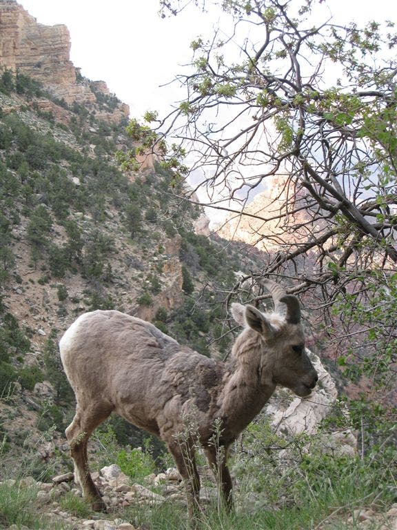
Mountain Goat
Location: 36.057663, -112.144524
You might run into this friendly guy.
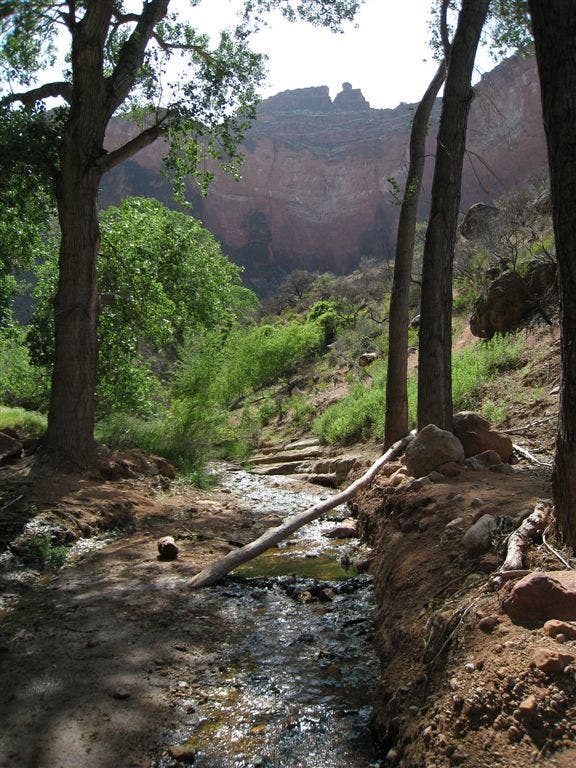
Stream
Location: 36.078525, -112.127075
Limestone
Location: 36.058197, -112.14653
Bright Angel Trail to Plateau Point
Location: 36.057899, -112.142601
Red Dirt
Location: 36.061276, -112.141716
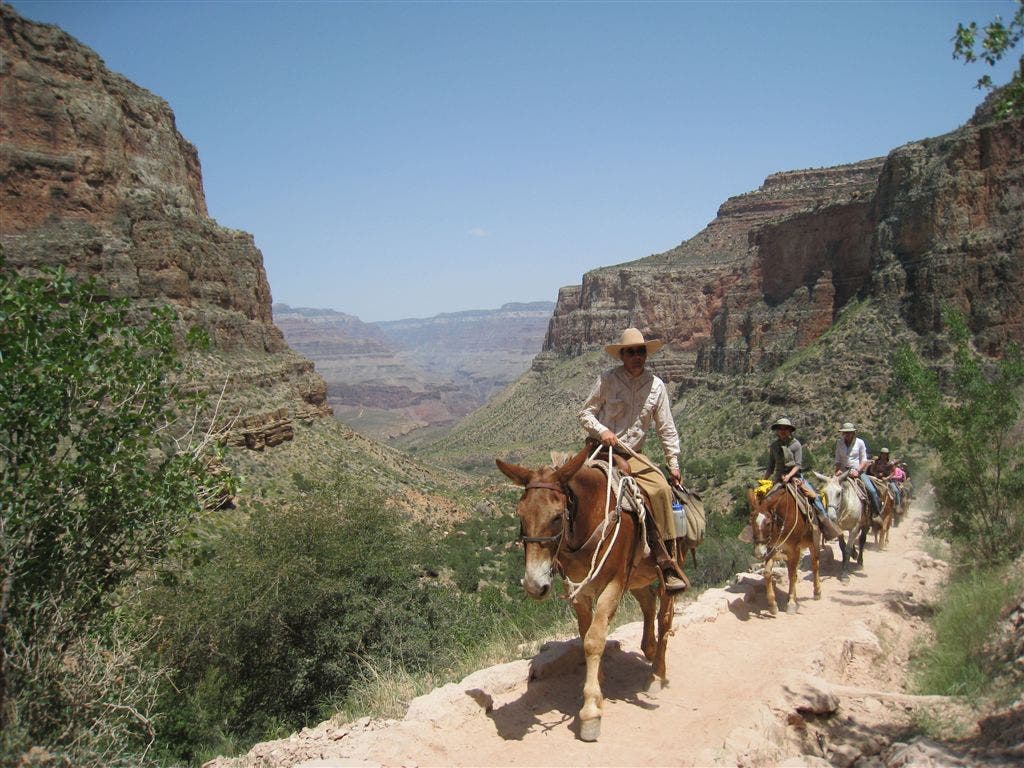
Donkey Train
Location: 36.066826, -112.135529
Rock Formations
Location: 36.08572, -112.124725
1.5 Mile Resthouse View
Location: 36.060028, -112.137022
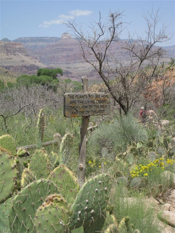
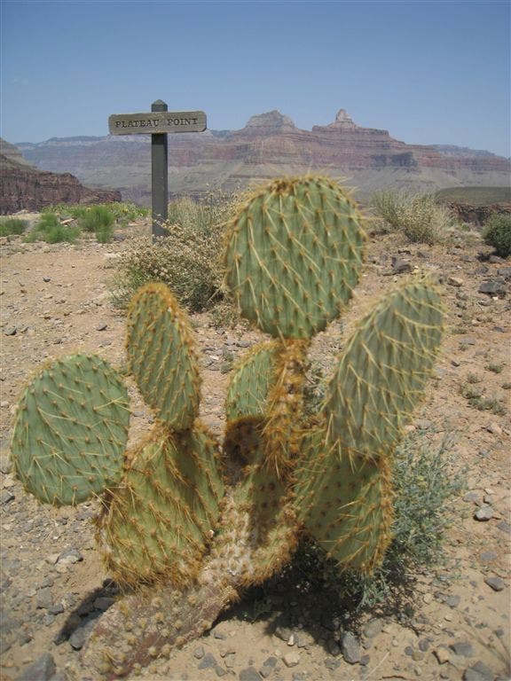
Beavertail Cactus
Location: 36.083778, -112.124893
View from the Trailhead
Location: 36.057918, -112.14251
Trail Views
Location: 36.093117, -112.116486
Resthouse
Location: 36.060466, -112.138841
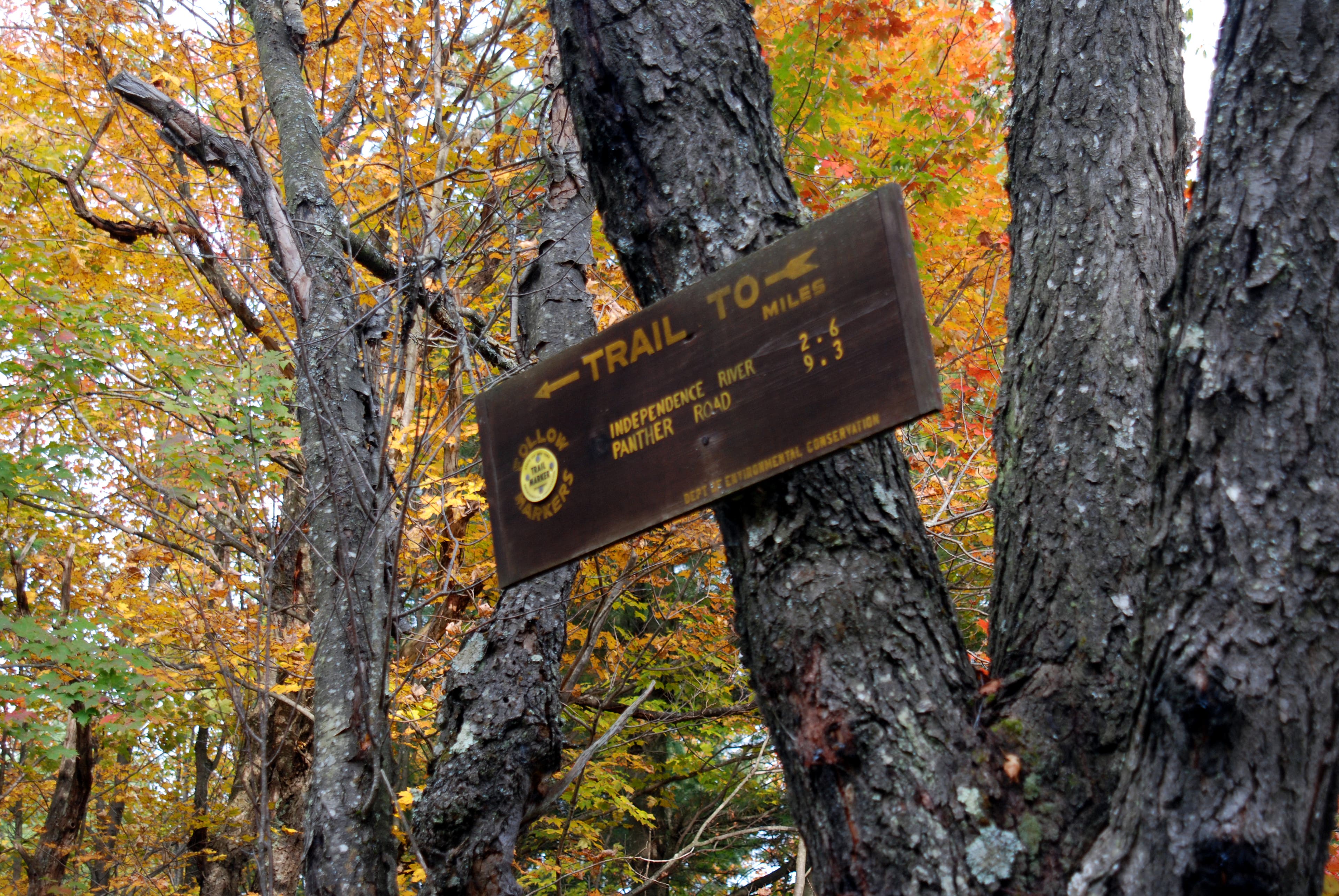
Trail Sign
Location: 36.057755, -112.145241
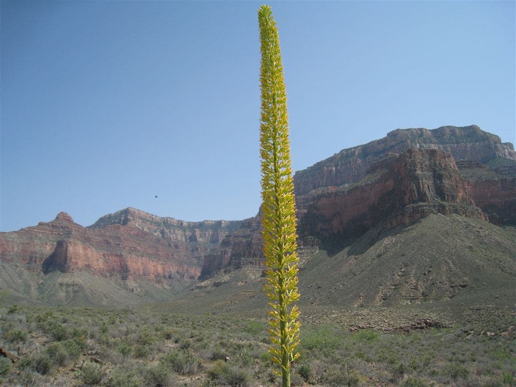
Agave
Location: 36.082615, -112.125679
View of Colorado River
Location: 36.093231, -112.116104
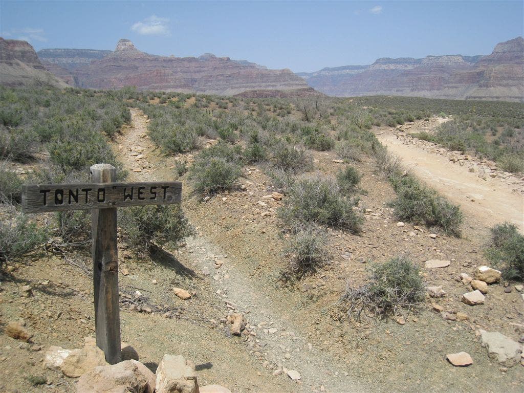
Path Splits
Location: 36.08614, -112.124352
Cheop Point to the NW.
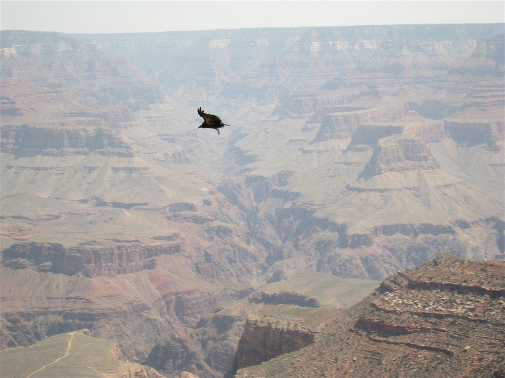
Californian Condor
Location: 36.05788, -112.1427
These condors are rare, but their numbers are growing. In 2008 there are aproximately 50 in northern Arizona.
Trailhead Sign
Location: 36.057934, -112.142456
Toilet
Location: 36.060449, -112.139103
Wildflowers
Location: 36.067608, -112.13382
1.5 Mile Resthouse
Location: 36.060418, -112.138937
Lizard
Location: 36.077435, -112.128021
Indian Gardens
Location: 36.074585, -112.128792
View of 3 Mile Resthouse
Location: 36.060531, -112.138739
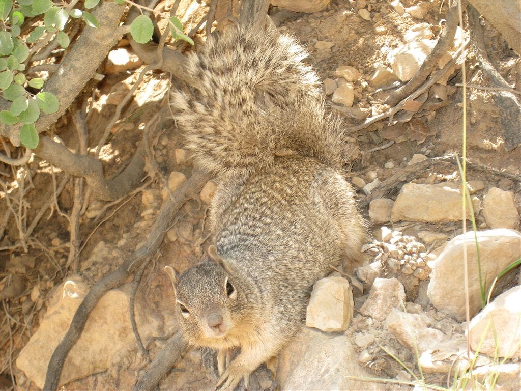
Squirrel
Location: 36.05785, -112.146339
Trail Junction
Location: 36.07843, -112.127022
Switchbacks
Location: 36.062107, -112.14003
3 Mile Resthouse
Location: 36.065441, -112.136238
Indian Gardens
Location: 36.077396, -112.12809
Rafting Tour Below
Location: 36.093262, -112.115959
Looking NE up the Colorado,
Indian Gardens Campground
Location: 36.076, -112.128616
Shady Bench
Location: 36.077026, -112.128357
Donkey Train
Location: 36.060583, -112.138658
Plateau Point Sign
Location: 36.093185, -112.116287
GCP001
Location: 36.057945, -112.142357
Directly next to the Kolb Studio, begin descending into the depths of the Grand Canyon along the Bright Angel Trail.
GCP002
Location: 36.057758, -112.145294
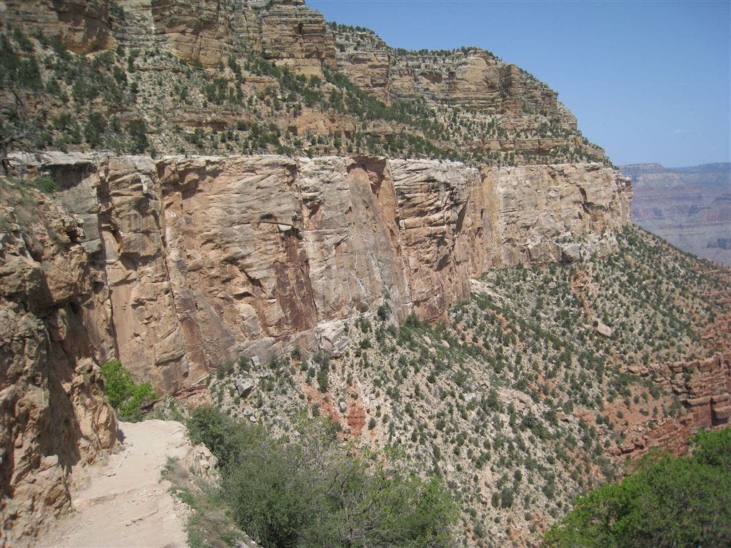
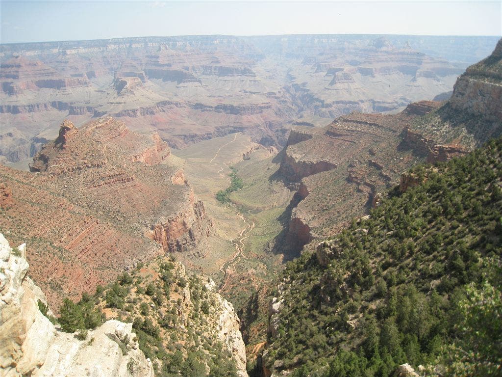
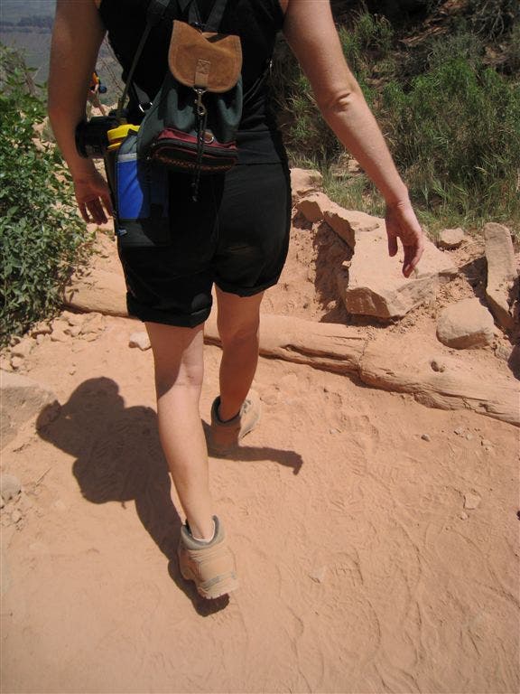
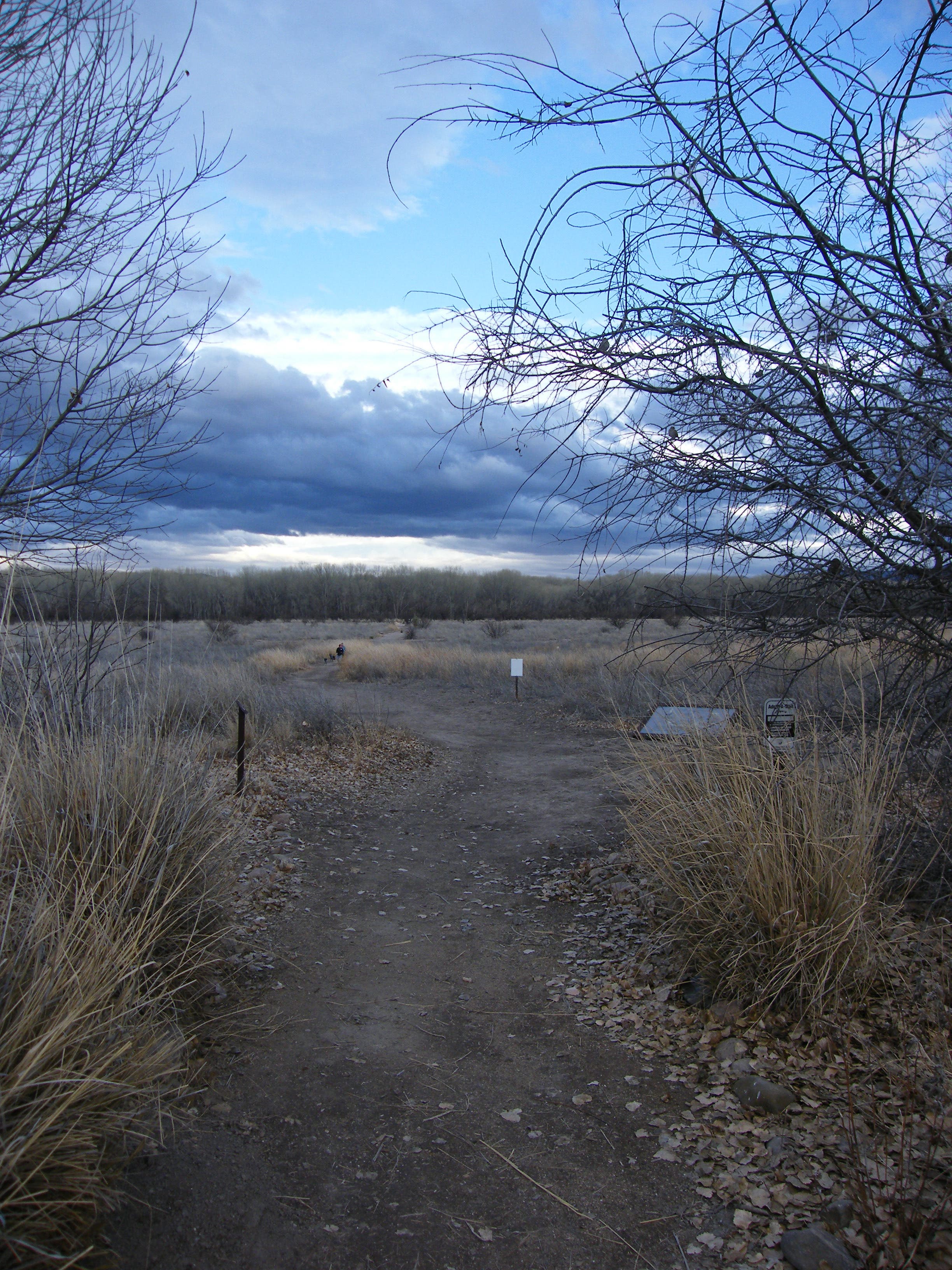
Unlike most hikes where the trail is hidden by ridgelines, valleys, and canyons, this out-and-back is mostly visible, snaking thousands of feet below in a small ribbon of matted red dirt etched into the canyon wall.
GCP003
Location: 36.058193, -112.14653
Hiking into the Grand Canyon is a geology lesson. The top layer, roughly 250 million years old, is known as Kaibab Limestone and is sandy to the touch.
GCP004
Location: 36.060388, -112.139023
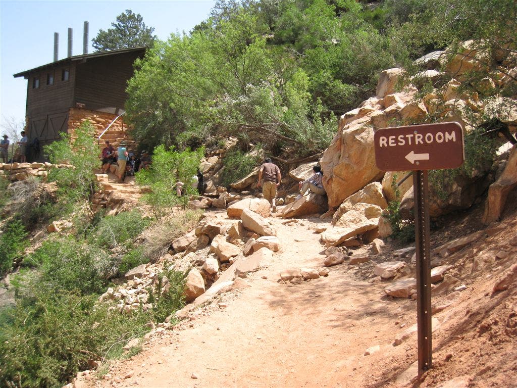
Continue left @ 3-way junction. Immediately to your right is the 1.5 Mile Resthouse with water, bathrooms and an emergency telephone. At this point the trail has dropped 1,065 feet into the canyon.
GCP005
Location: 36.062118, -112.140152
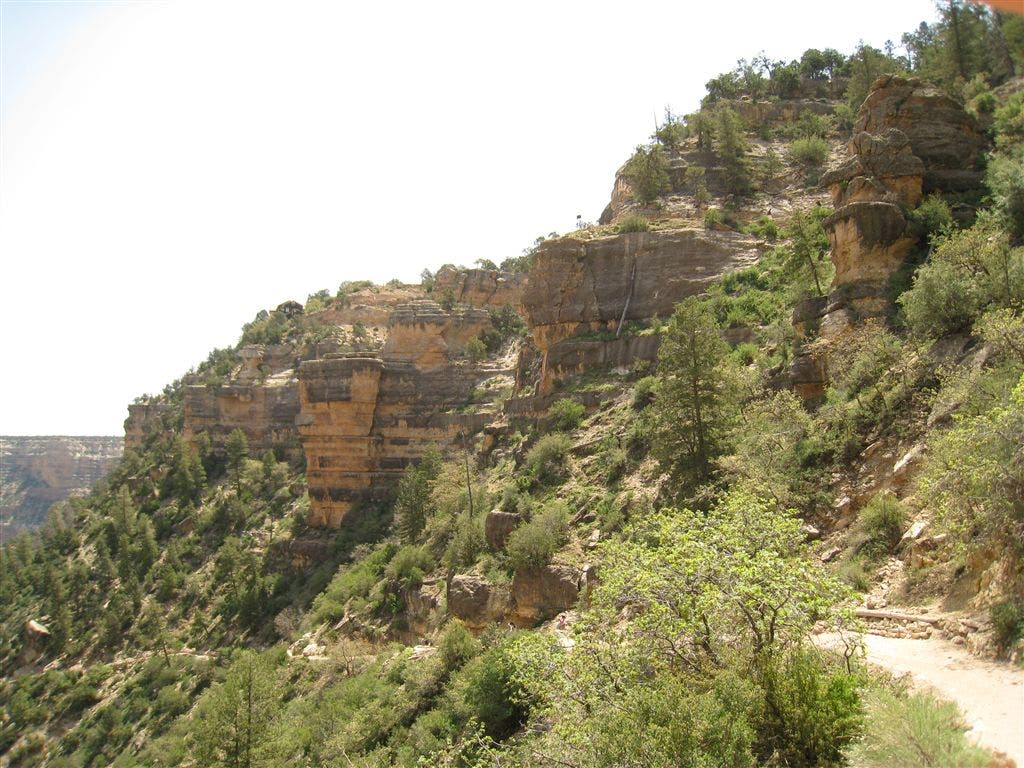
Descending down the nearly 100 switchbacks to Indian Gardens, it is impossible to not be overwhelmed with the size and sheer beauty of the deteriorating red rock walls.
GCP006
Location: 36.061264, -112.141754
On the left is a large rock shaped like a shark’s tooth.
GCP007
Location: 36.065441, -112.136246
Three-Mile Resthouse: Water, shelter and an emergency phone are available starting in May. Indian Gardens, the next opportunity to get water, is now only 1.6 miles below. Optional: Follow the small path behind the resthouse for a stunning view of the canyon.
GCP008
Location: 36.066818, -112.135559
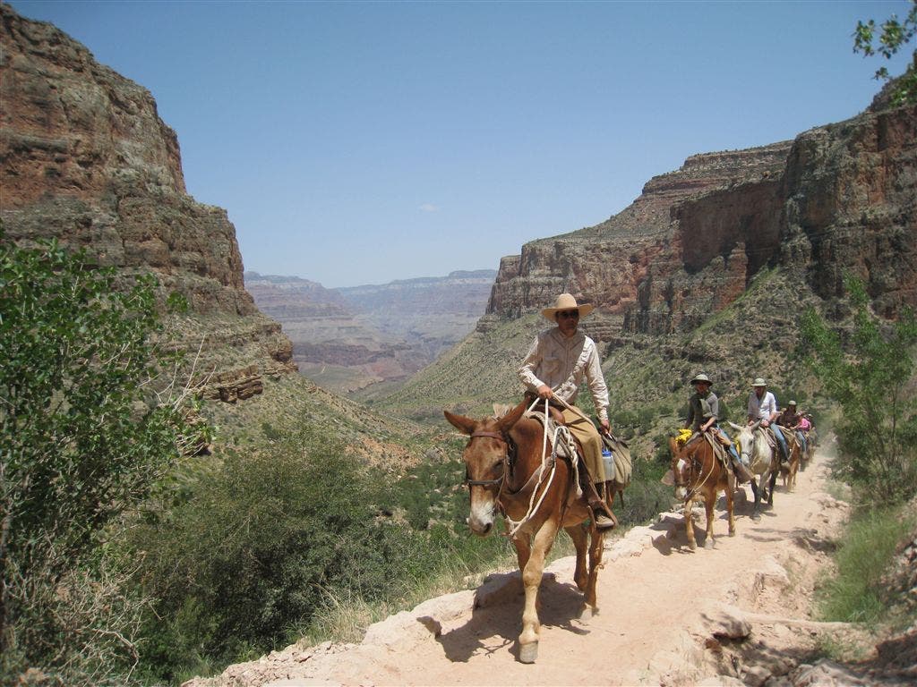
Depending on the time of day, donkey trains may pass on the trail. To allow safe passage, stand on the uphill side of the trail and do not agitate the animals (or riders for that matter).
GCP009
Location: 36.067638, -112.133797
As the trail begins to flatten out, the rock walls transition from Mauv Limestone to Bright Angel Shale. Depending on the time of year, spring wildflowers may also line the trail.
GCP010
Location: 36.074596, -112.128799
An oasis in the middle of the canyon, Indian Garden has shade, water, and a rest area.
GCP011
Location: 36.076019, -112.128616
Continue straight @ 3-way junction. The trail to the left leads to Indian Garden Campground.
GCP012
Location: 36.077015, -112.128372
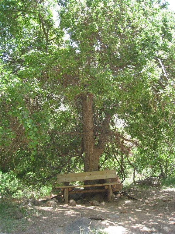
Shade and water can be found here.
GCP013
Location: 36.077396, -112.12809
Veer right @ Y-junction; bathrooms and benches flank the trail.
GCP014
Location: 36.078423, -112.127029
Turn left @ 3-way junction and cross over a small stream. The trail winds through more vegetation.
GCP015
Location: 36.083771, -112.124825
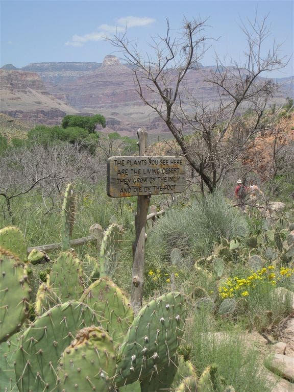
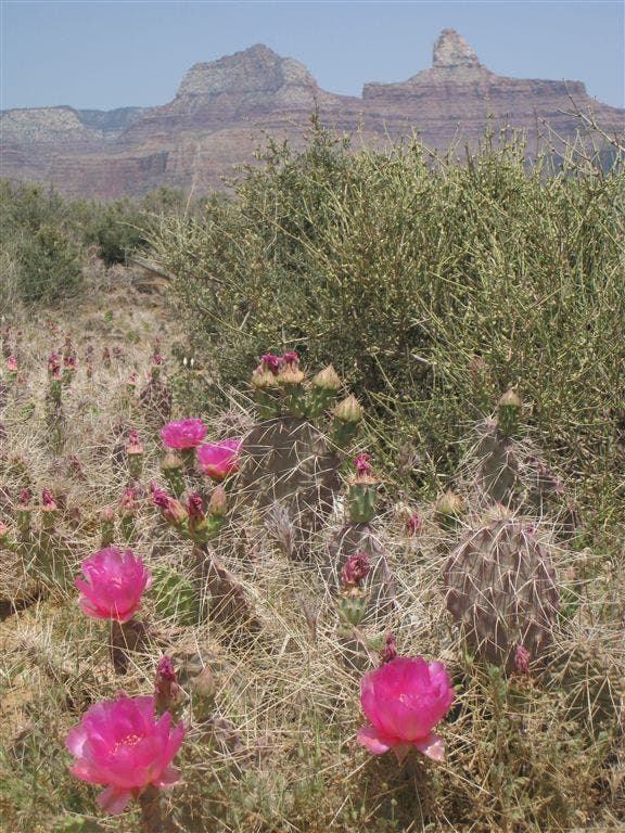
During springtime, pink and yellow cactus flowers dot the landscape adding a splash of color to the otherwise dusty, red rock. Summer Point is also visible jutting up to the northeast.
GCP016
Location: 36.086147, -112.124344
Veer right @ Y-junction, heading northeast toward Plateau Point. The Bright Angel Trail is visible to the right a few hundred feet below.
GCP017
Location: 36.093128, -112.116486
Fill up your water bottles here before the final push to Plateau Point.
GCP018
Location: 36.093269, -112.115997
Plateau Point: From this vantage point deep inside the heart of the canyon, views extend across the Colorado River to distant mesas and plateaus. After basking in the view, turn around and retrace the trail to the canyon’s rim. Depending on the time of year, the heat can rise into the hundreds, so make sure to drink plenty of water.