Google Maps Now Includes Antarctica


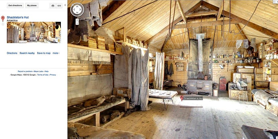
View Shackleton’s hut from the comfort of your own couch.
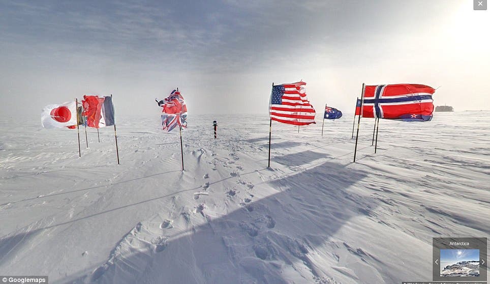
Plenty of backpackers (including yours truly) harbor dreams of hiking on all seven continents, but there’s one that’s tougher to reach than all the rest: Antarctica. Luckily for us, Google Maps Street View team can get you the next-best thing: mind-melting, hiker’s-eye-level views rendered in jaw-dropping detail. Google began the project a few years ago and started releasing images in 2012, but a giant new update knits together whole swaths of wilderness way, way, way down under.
Highlights include the Mars-like Bull Pass in the Murdo Dry Valleys (one of the continent’s rare ice-free areas), the Cape Royal Adelie Penguin Colony, and Scott’s Hut, a still-stocked but barebones hut used by Shackleton.
Google persuaded researchers on Antarctica to hike around the continent (uh, sign me up) wearing the Trekker, a 42-lb. pack outfitted with batteries and a 15-lens, geodesic camera poking out of the top like a mushroom. Google has previously used the Trekker to capture 360-degree views in the Grand Canyon and other wild places.
Of course, if this just made your Antarctica wanderlust worse, start planning here.
Read more: Daily Mail