Glacier Peak Wilderness: Lyman Lake, Cloudy Pass, Suiattle Pass, Image Lake

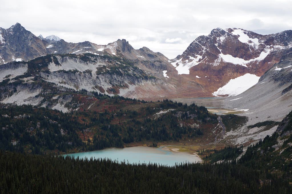
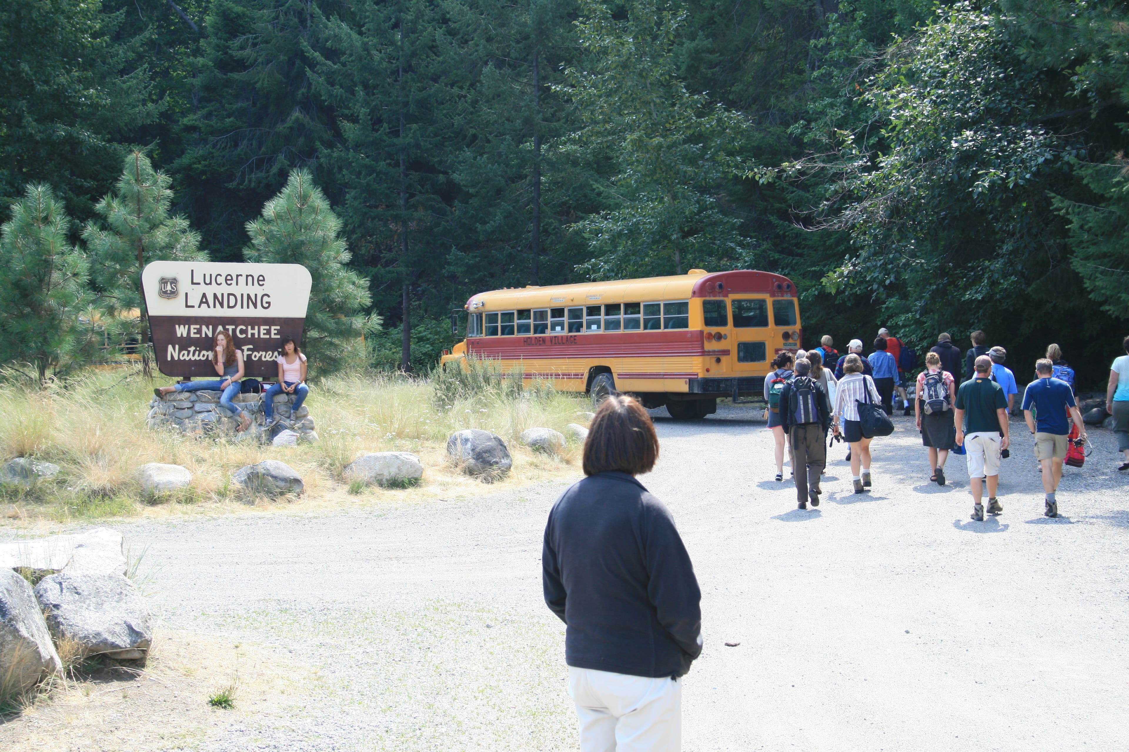
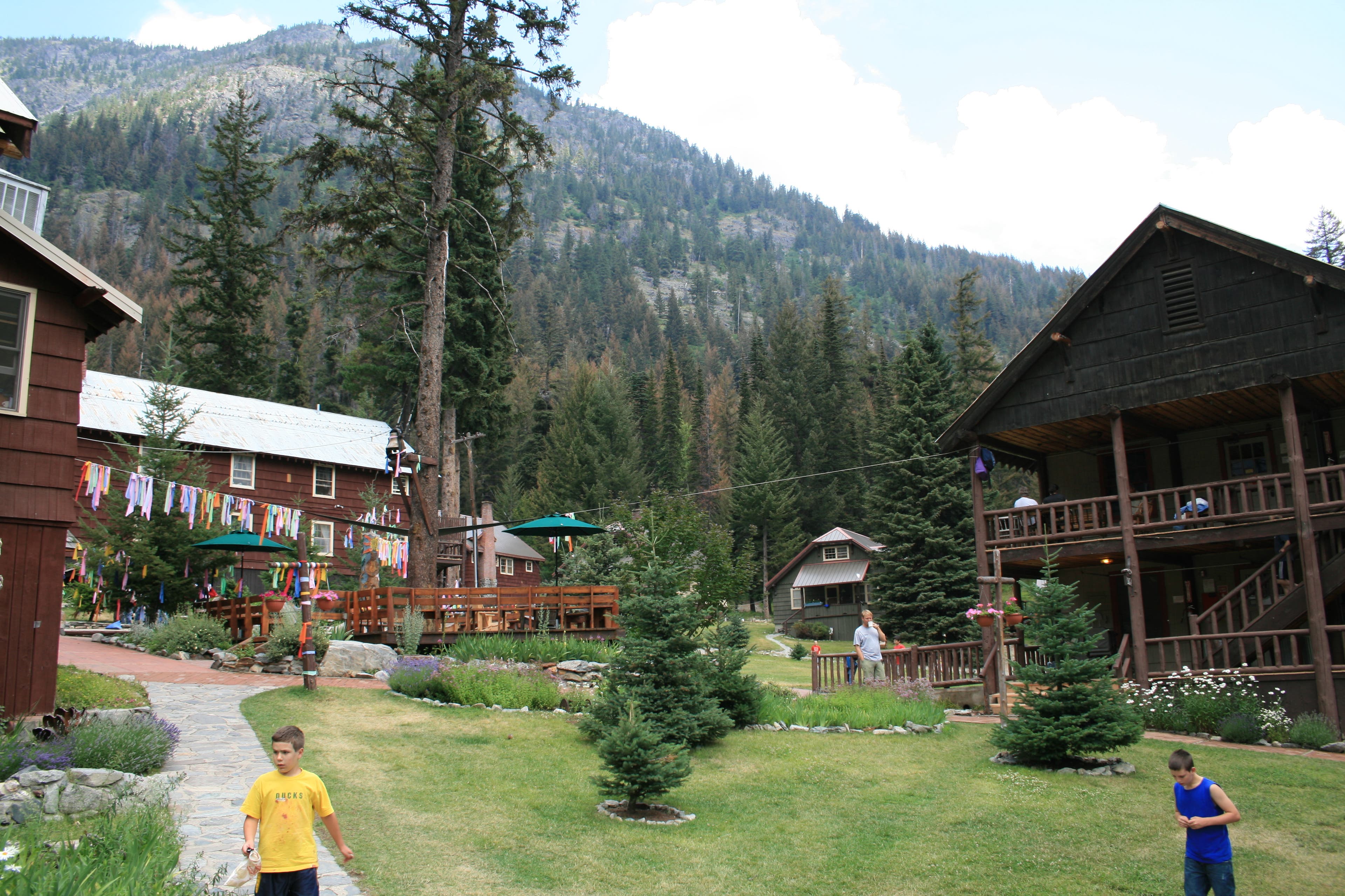
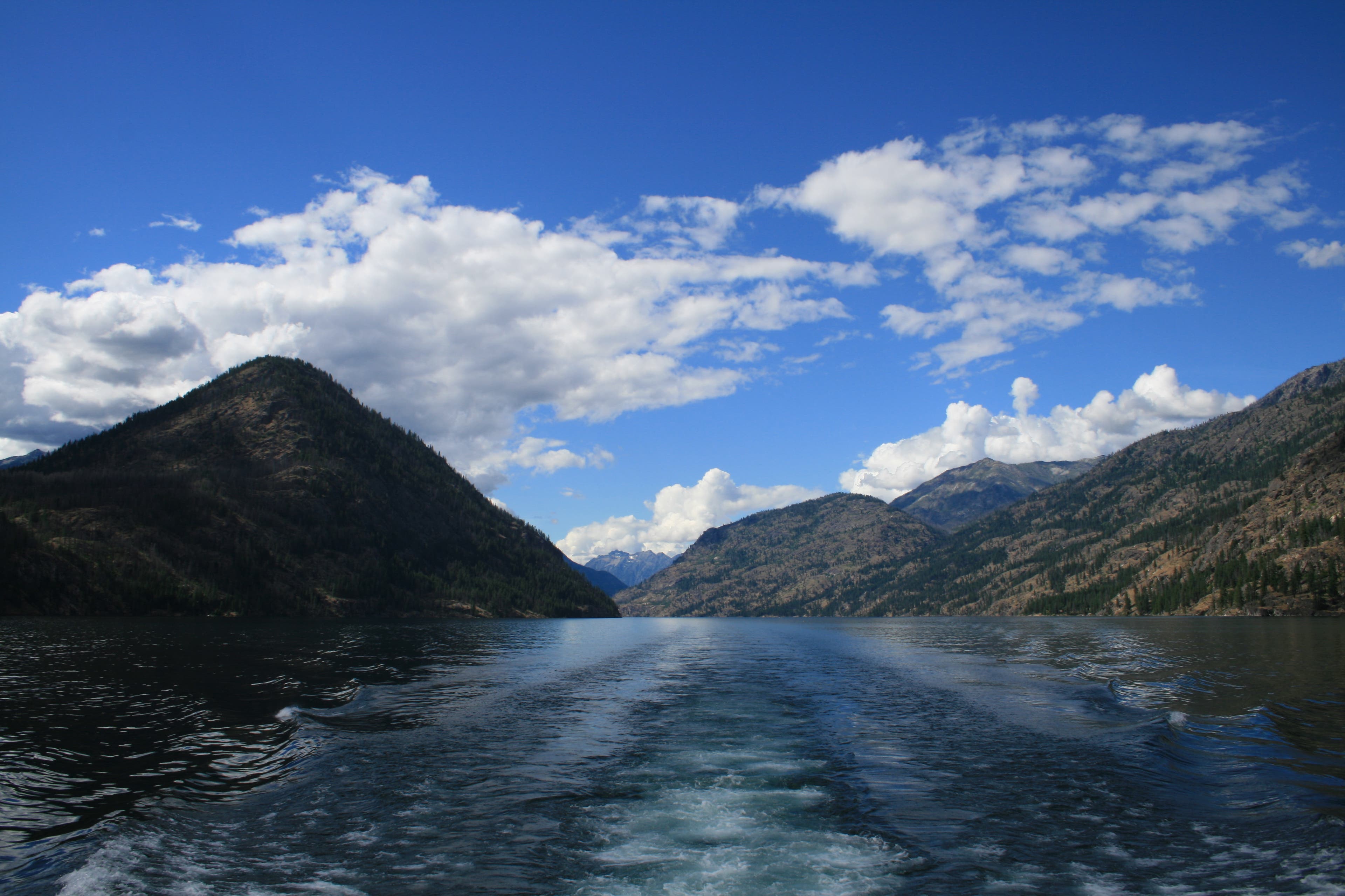
Sometimes getting there is half the challenge. To even begin this 38-mile trip into the heart of the Glacier Peak Wilderness, you’ll have to travel by car, ferry, and bus! First, take the Lady of the Lake ferry across Lake Chelan to Lucerne.From there, take the bus to Holden Village, where the hike begins.
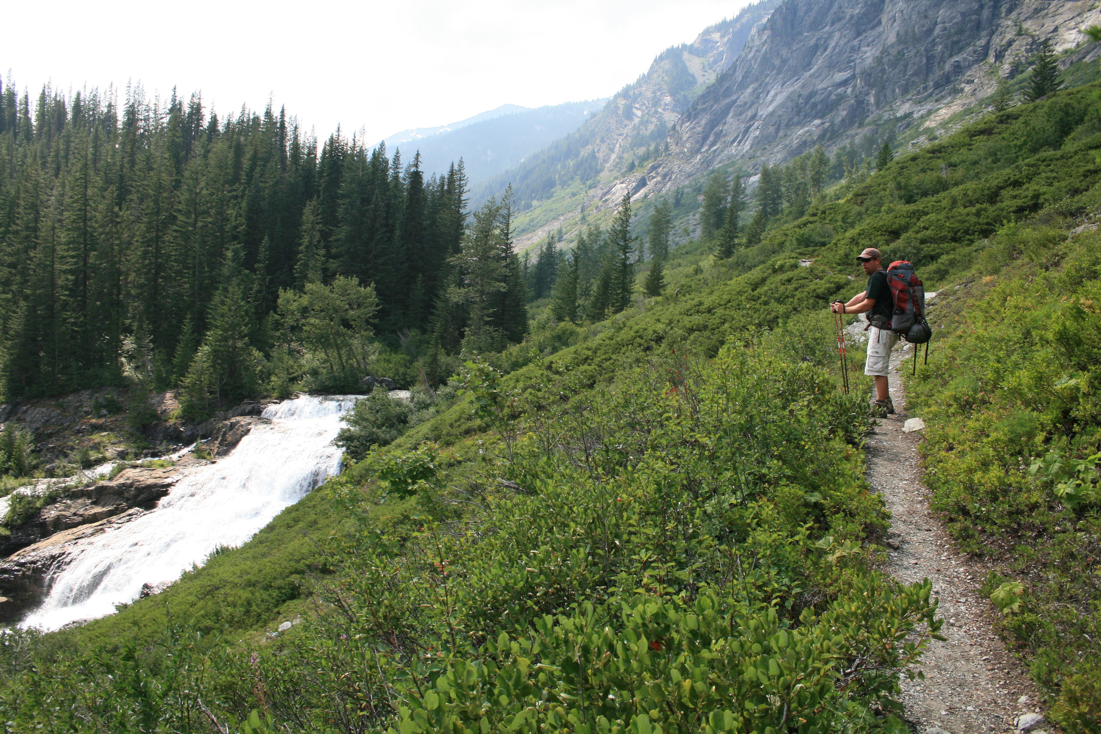
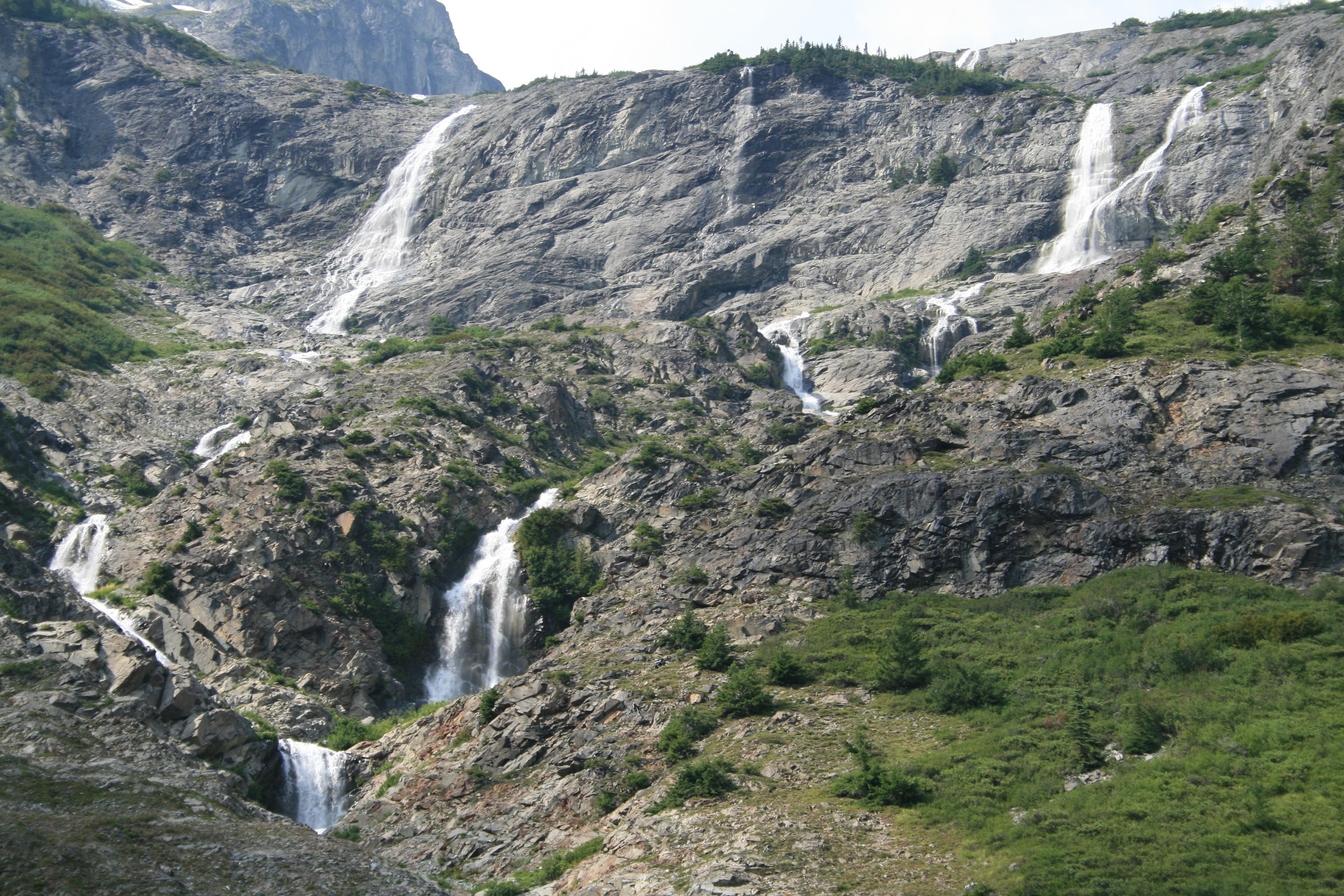
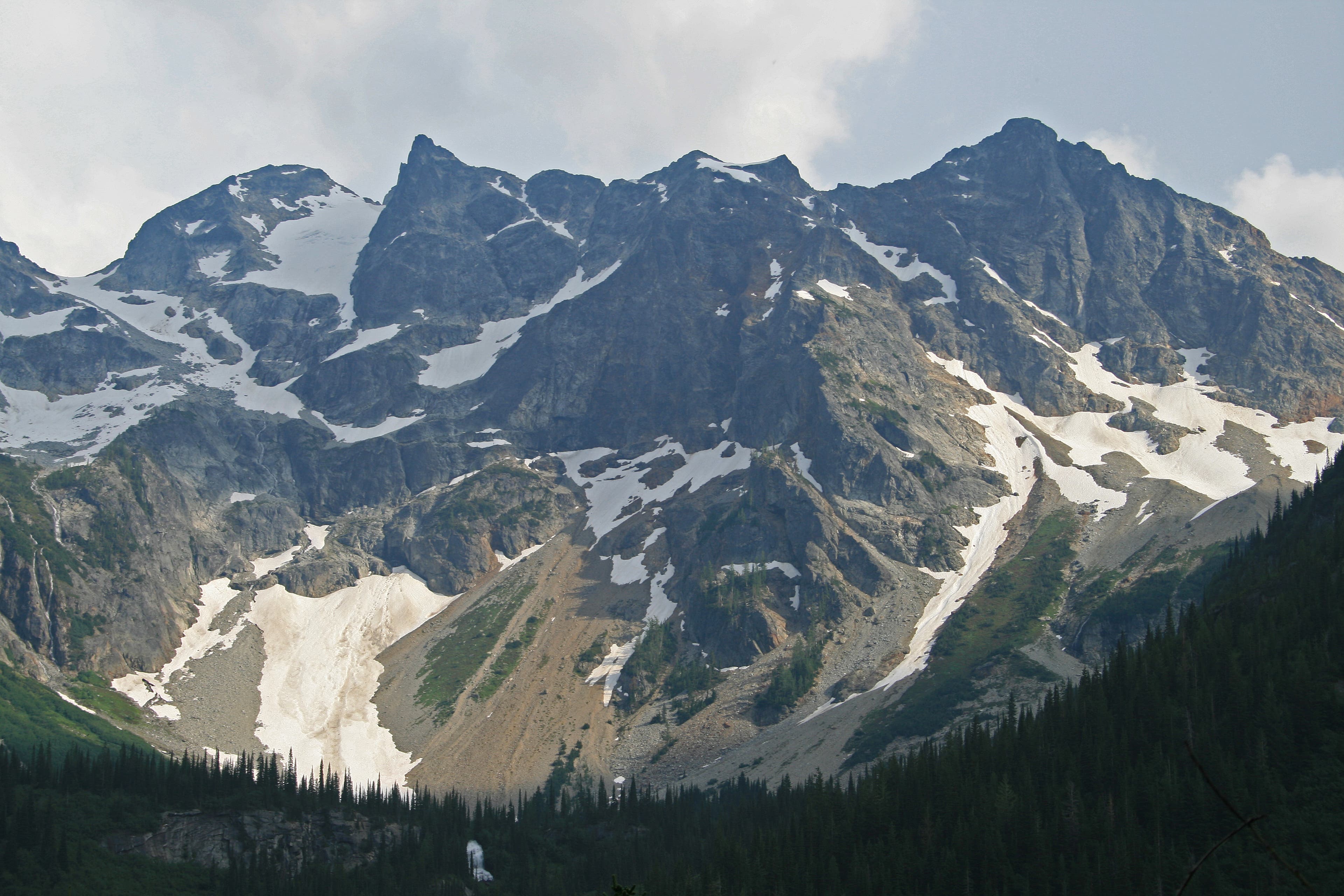
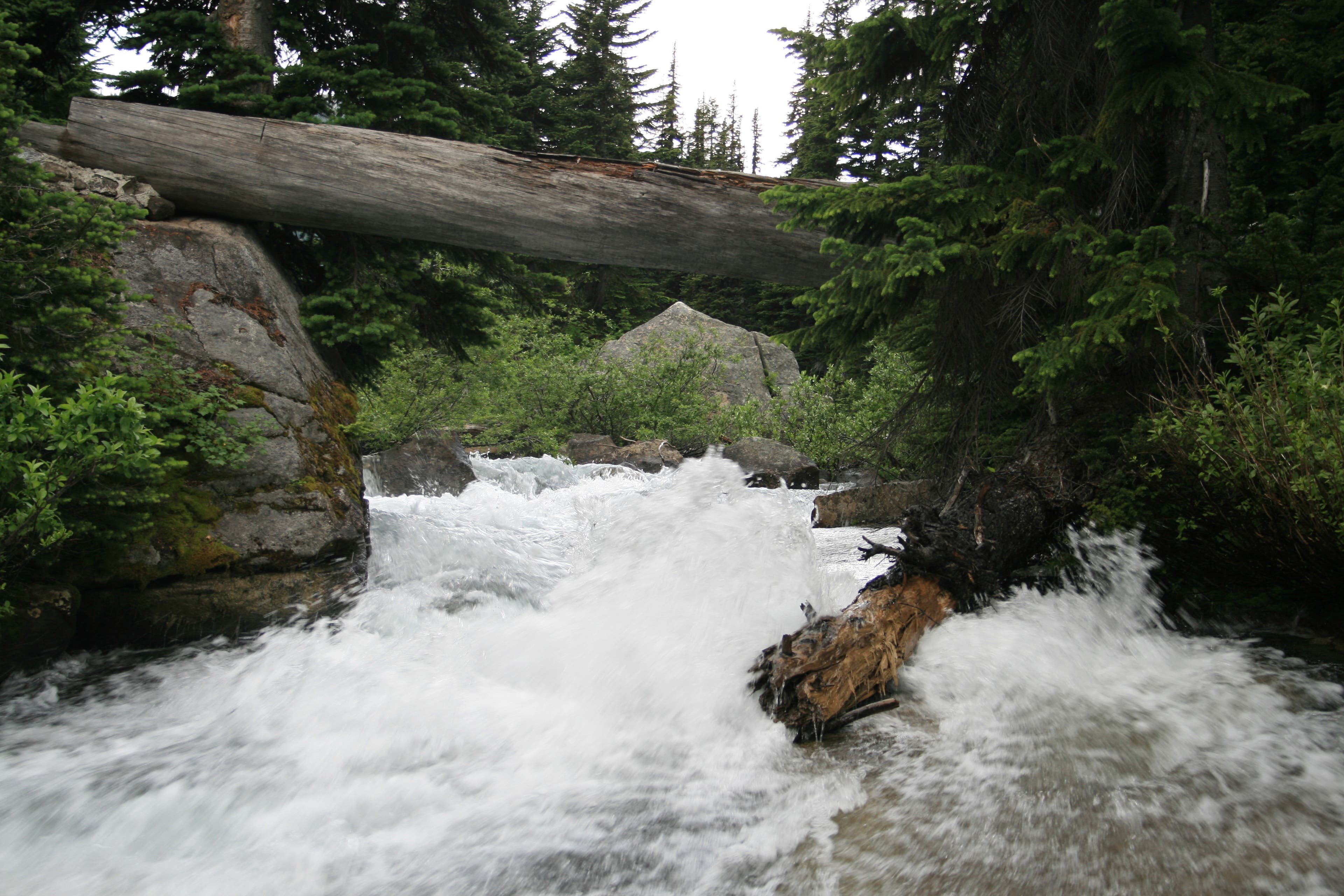
Once you arrive at Holden, swing on your pack and head straight out of the village, past the washed out bridge and rock walls marking the old township of Winston. The trail begins about ¾ of a mile from the center of town, near an open field; you’ll see the trail head marker. The path is relatively flat and well maintained until the first junction, at mile 1.4. Stay left at the intersection for Hart’s Lake. Near the 2.6 mile mark, there is a creek crossing; stay right to cross the hiker’s foot bridge, a detour around the stock crossing. Shortly after the crossing, the forest starts to thin into scrub brush and rock. Views of the outlet waterfall that rushes out of Hart Lake soon follow. The trail skirts the waterfall and Bonanza Peak’s scree fields, then drops you into Hart Lake basin, at 4.4 miles.
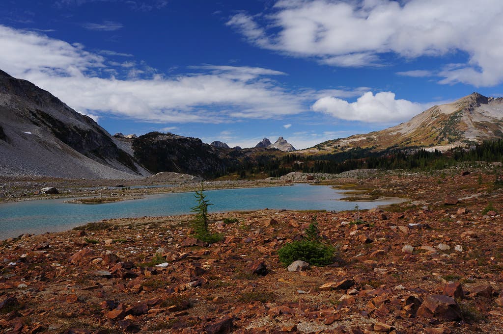
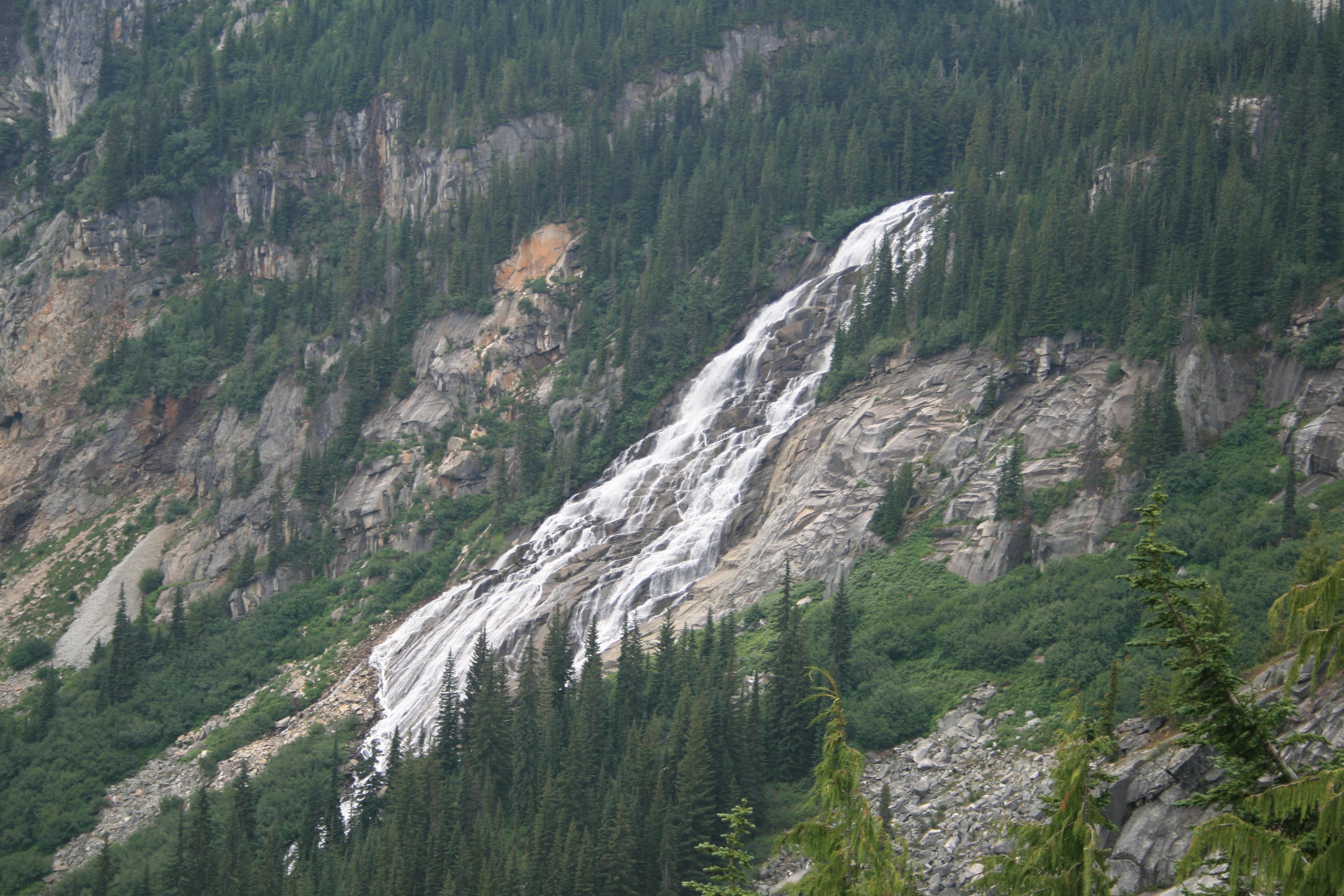
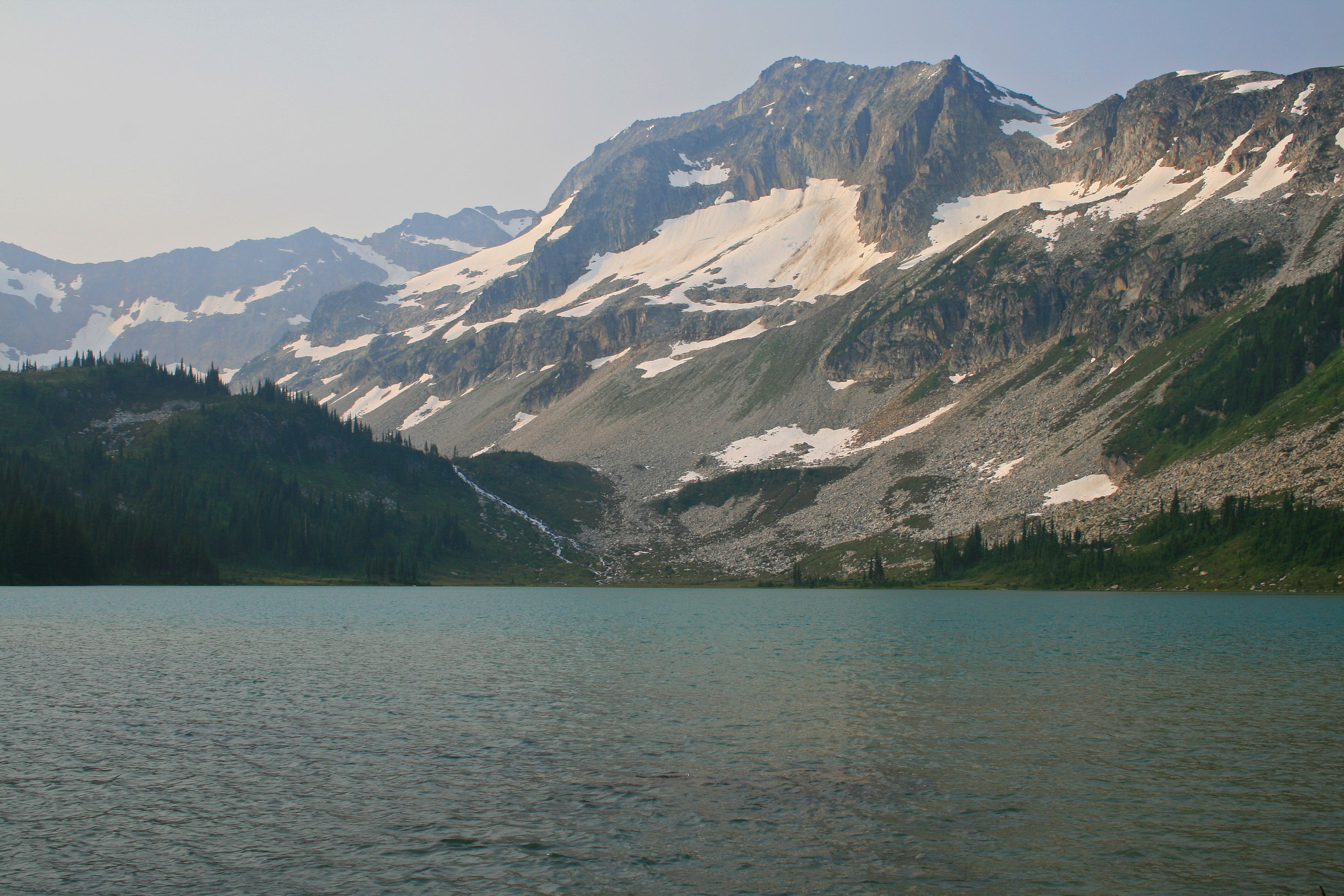
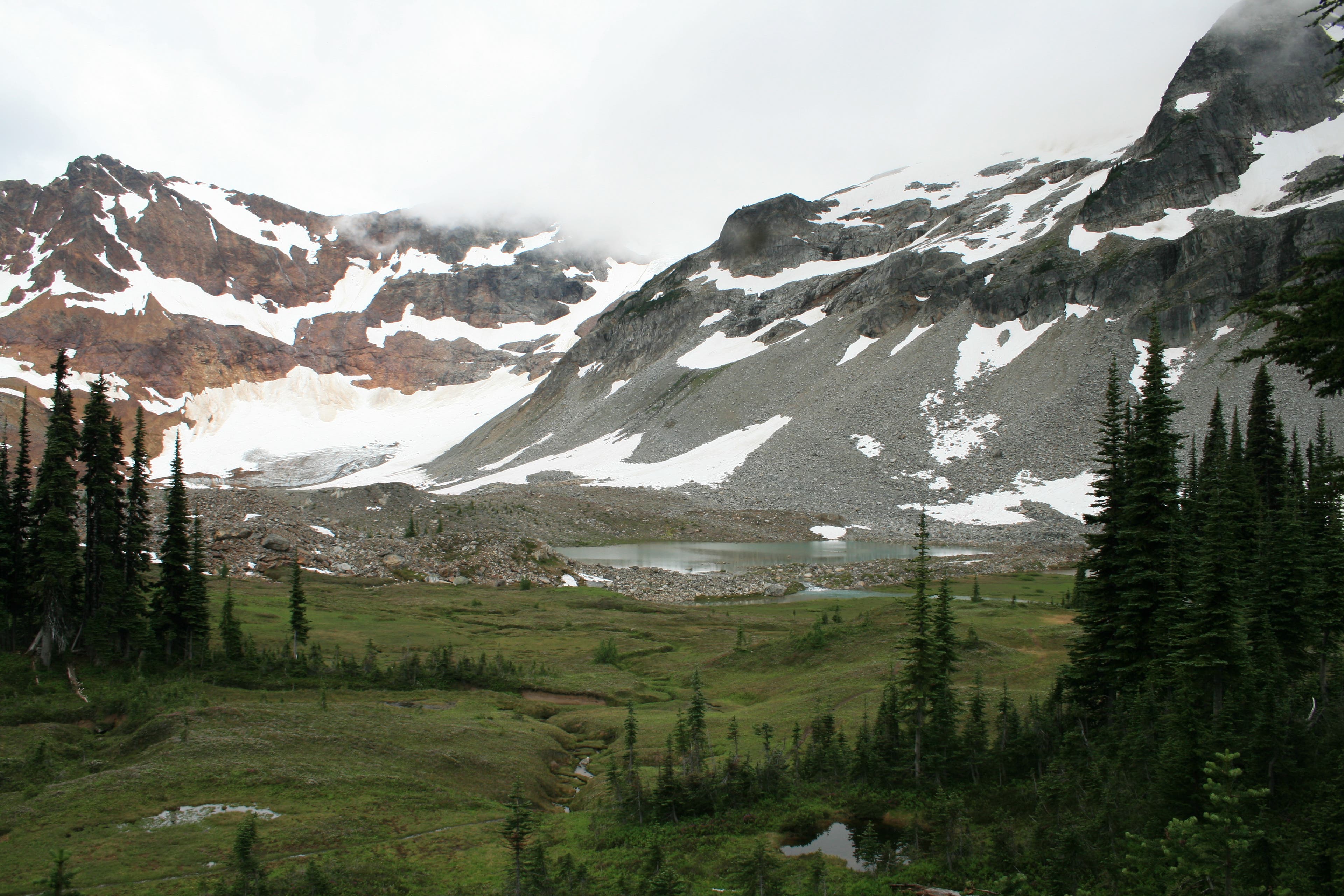
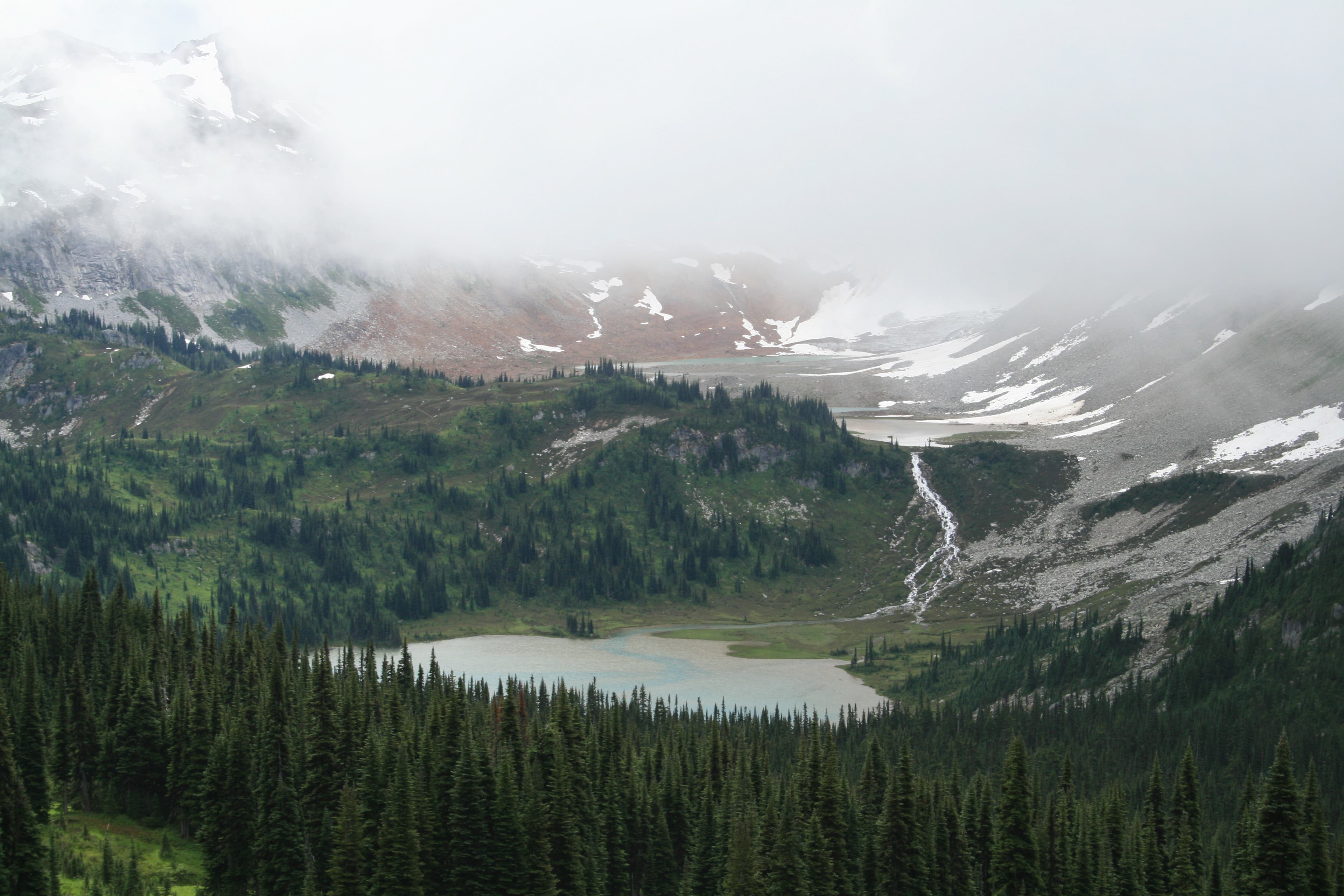
Continue pushing on to the campsites at Lyman Lakes. At mile 6.2, the trail starts switchbacking to the top of Crown Point Falls through mixed forest and scrub brush. Reach the lower Lyman Lakes camp at mile 8.2, next to a beautiful alpine lake fed by glacial meltwater. Be sure to get your drinking water from the creek running out of the lake, near the footbridge crossing, as the glacial silt will clog water filters! On day 2 hike to Image Lake, a 7.2-mile jaunt. From Lyman Lake, it’s a moderate uphill 1.5 miles to the expansive meadows of Cloudy Pass.
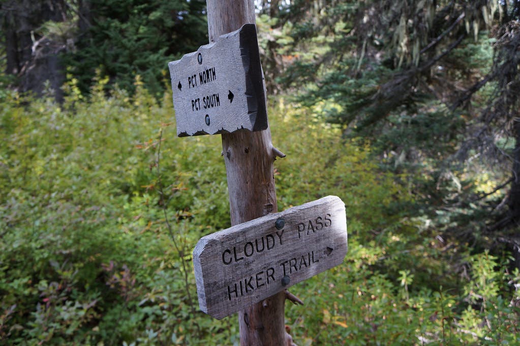
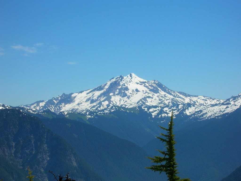
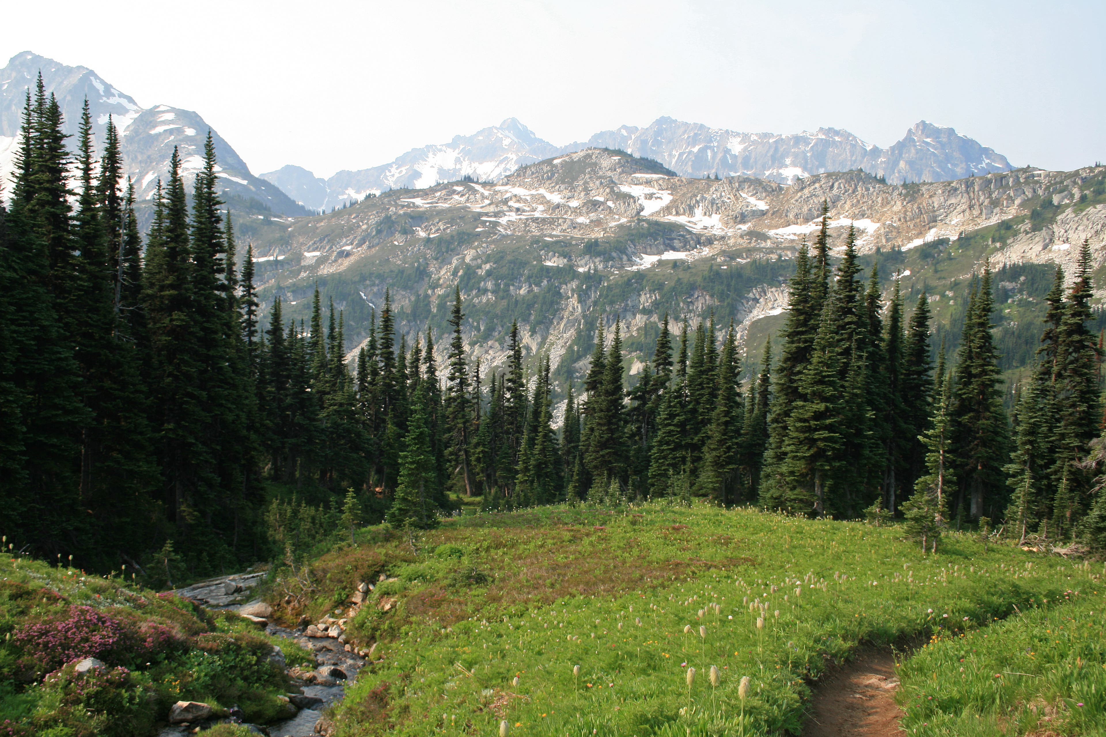
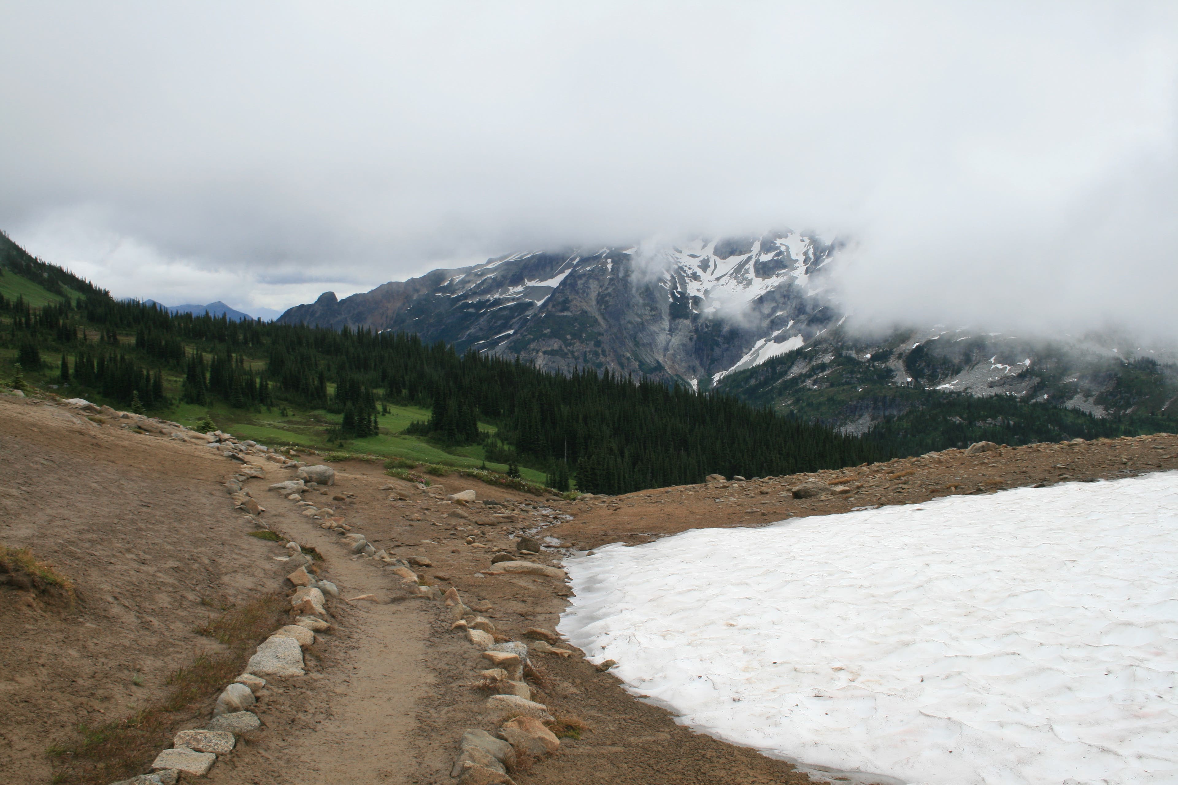
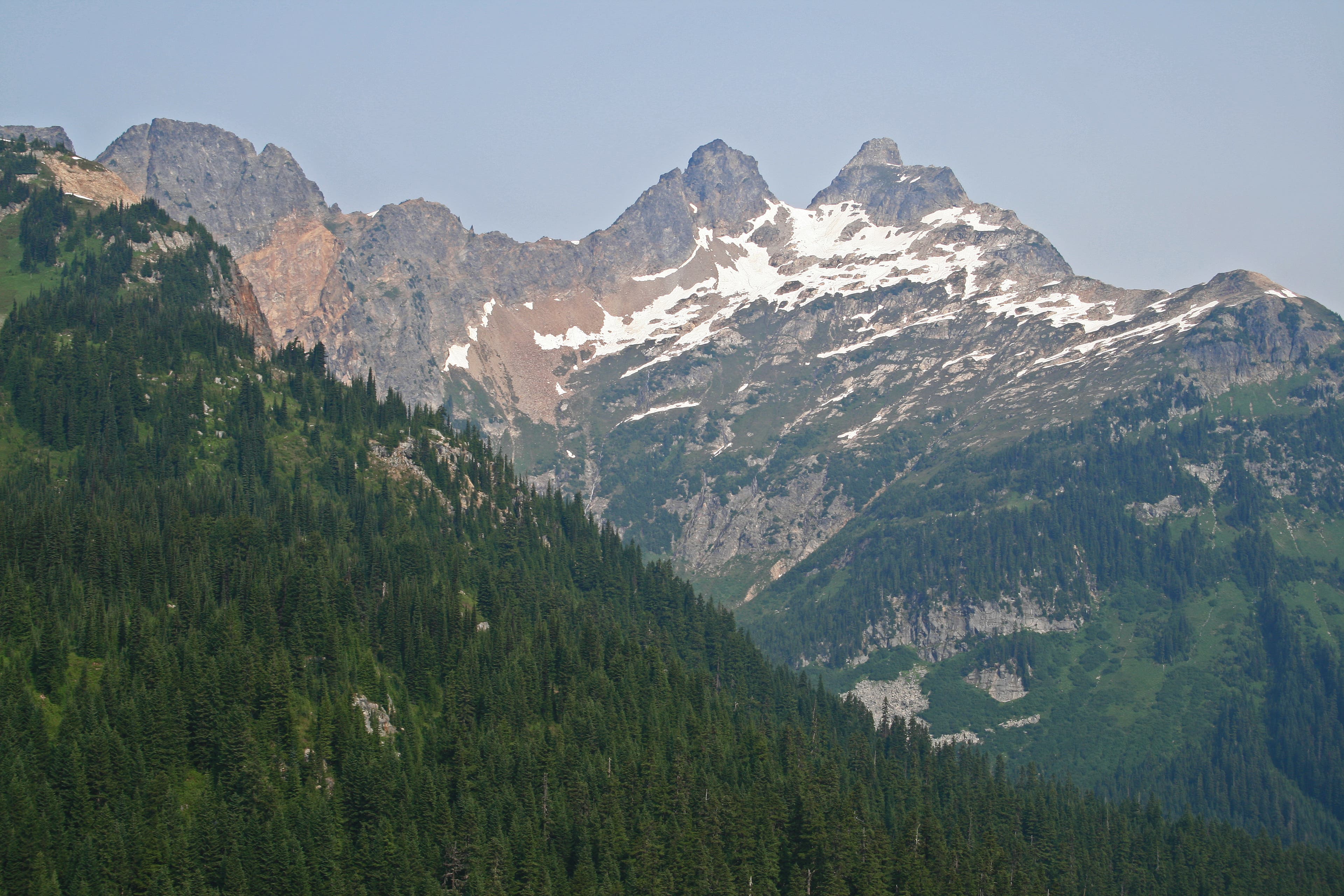
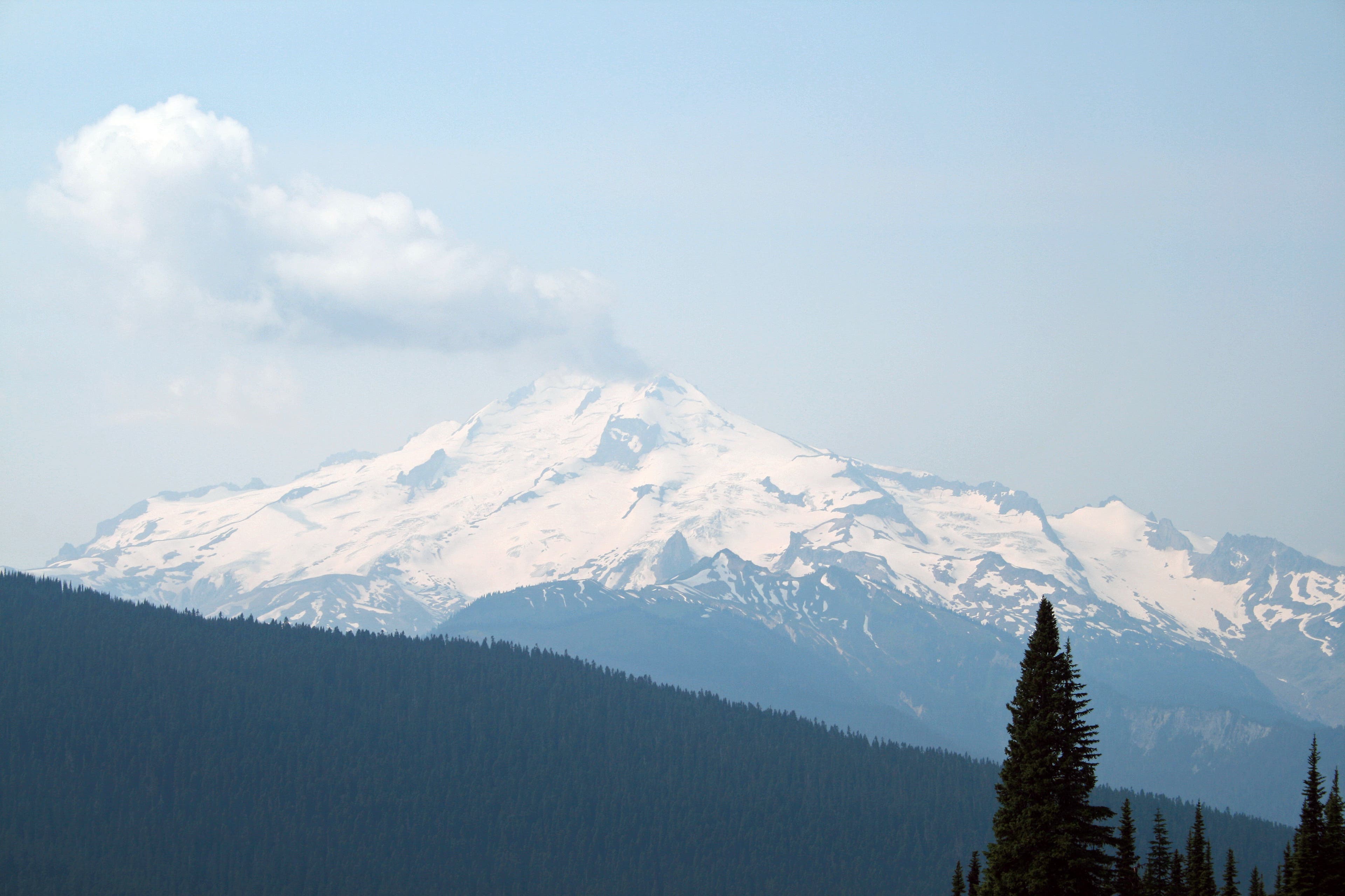
From Cloudy Pass, drop down more switchbacks to the junction with Suiattle Pass Trail, 2.2 miles from Lyman Lake. Take a left here, reaching the pass at mile 2.5. You will have good views down the valley and up to two more towering peaks, Plummer Mountain and Sitting Bull Mountain. Once at the pass, descend down another .2 miles to another trail junction and join up with the PCT. Turn left, continuing down through small step meadows filled with wildflowers. after .7 mile leave the PCT for the Miners’ Ridge Trail. Shortly beyond a creek crossing you’ll encounter your first old miners’ cabin, a plywood construct on the right side of the trail. The area used to be a heavy copper mining region. The next 1.5 miles is pretty flat, following Miners Ridge through old growth forest with occasional views to Glacier Peak.
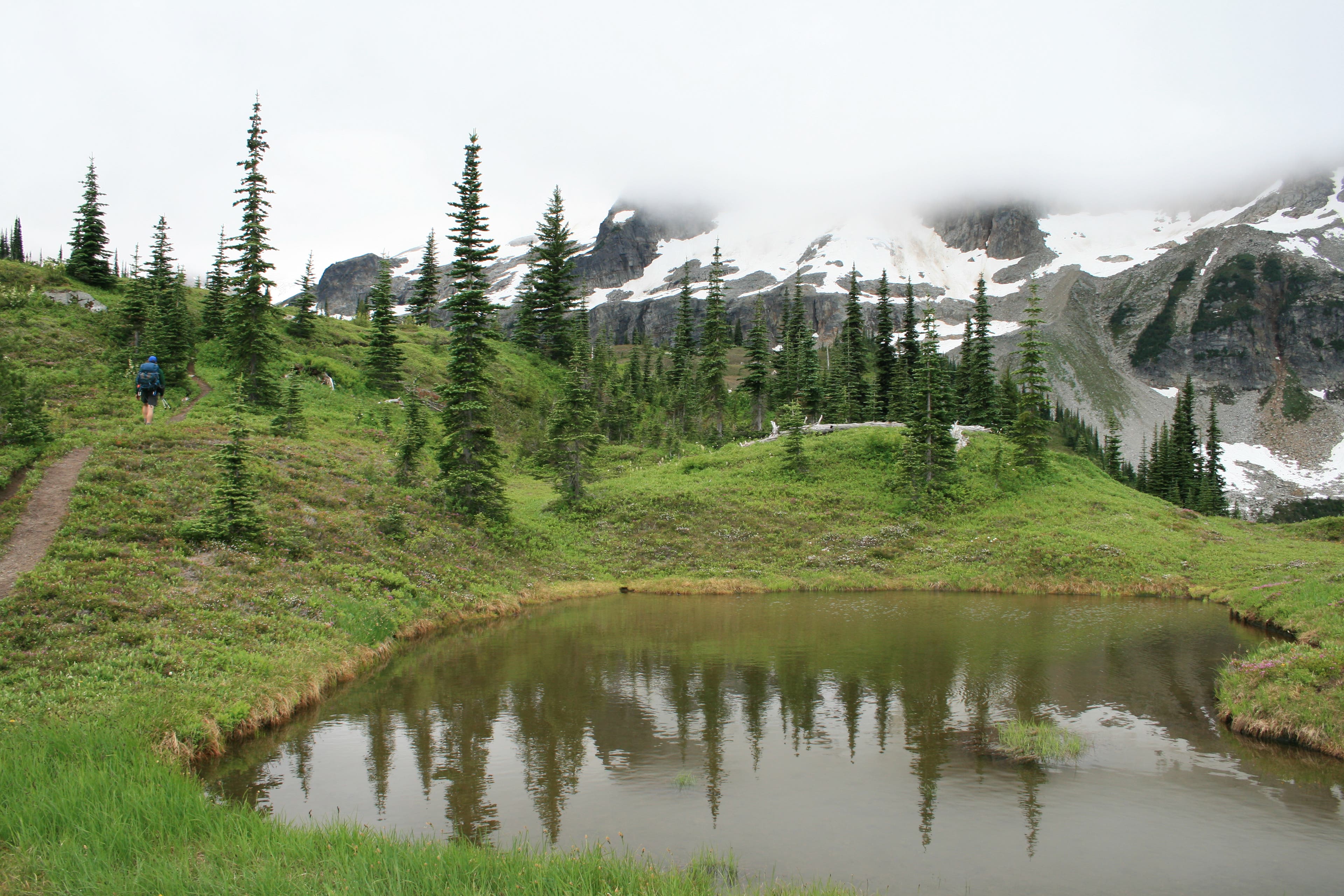
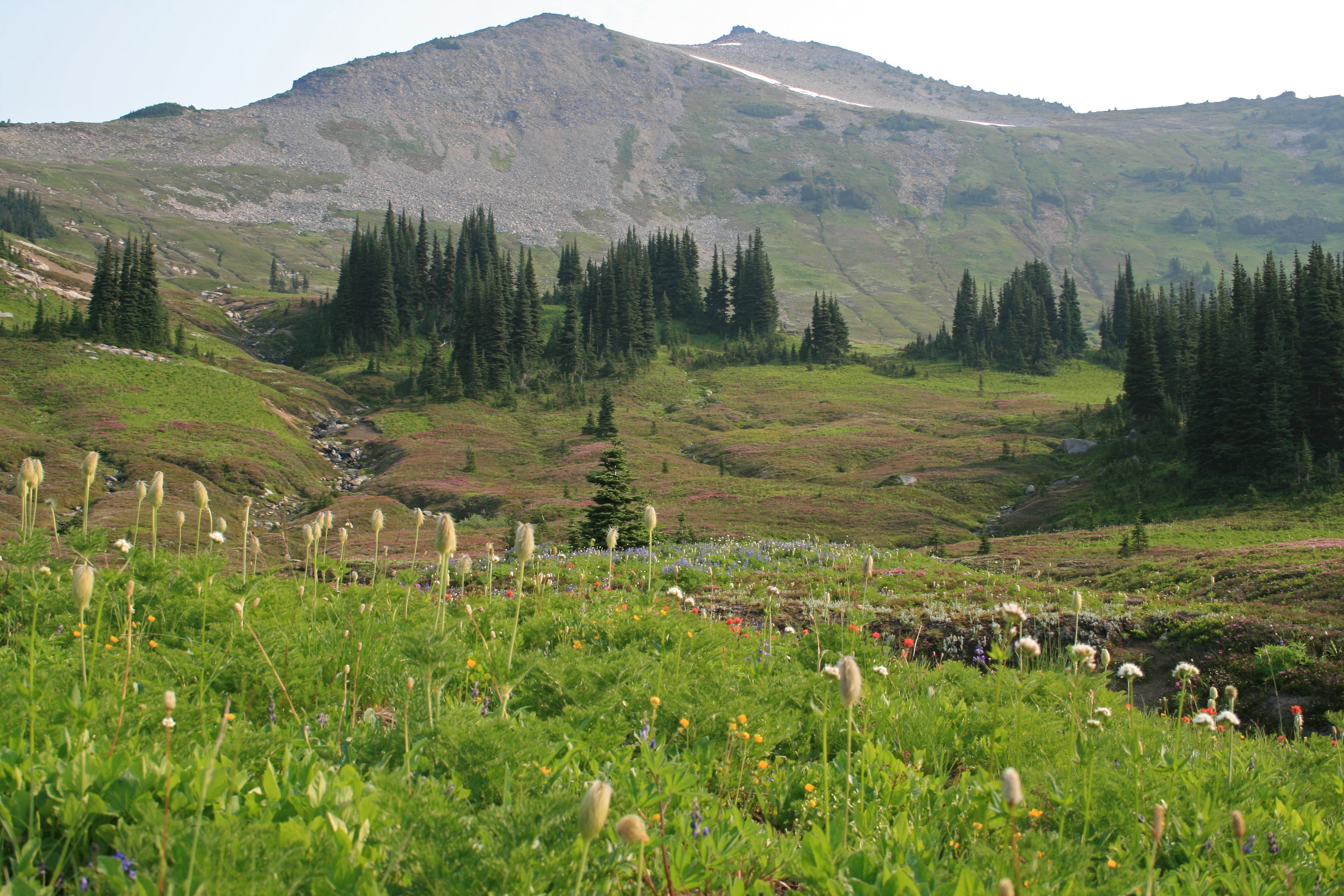
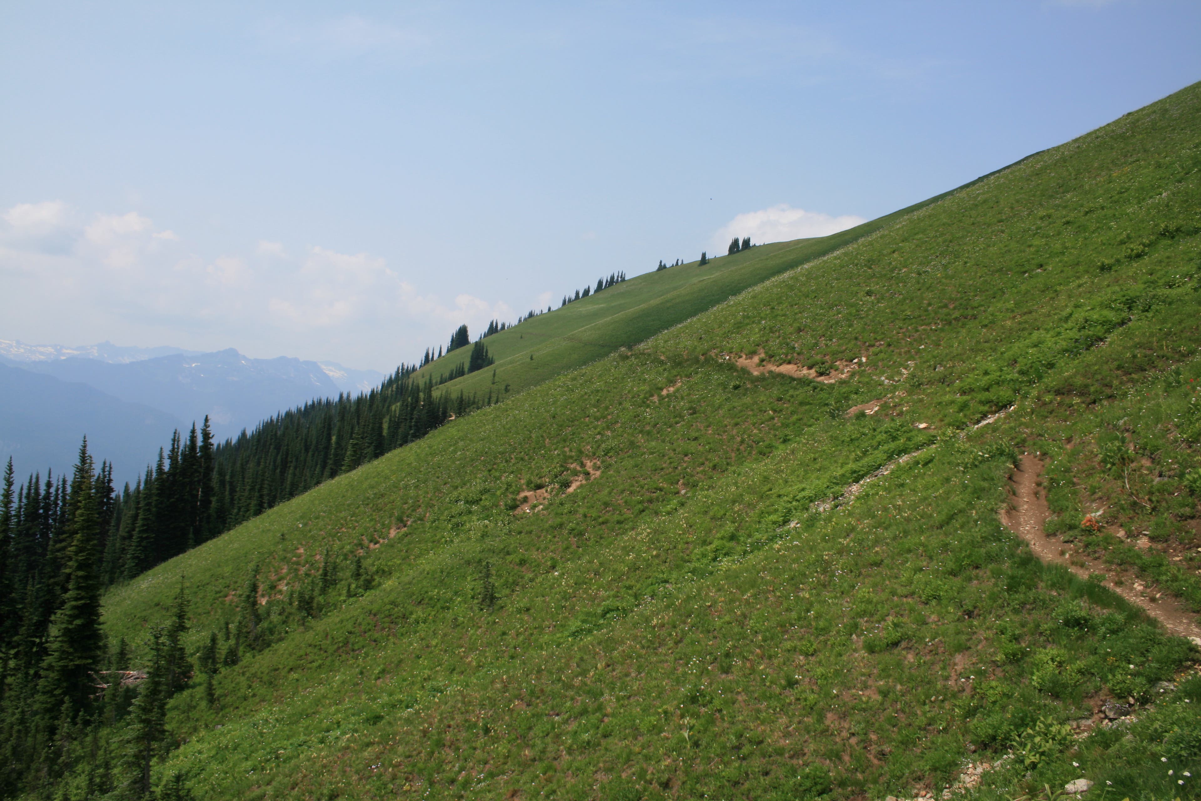
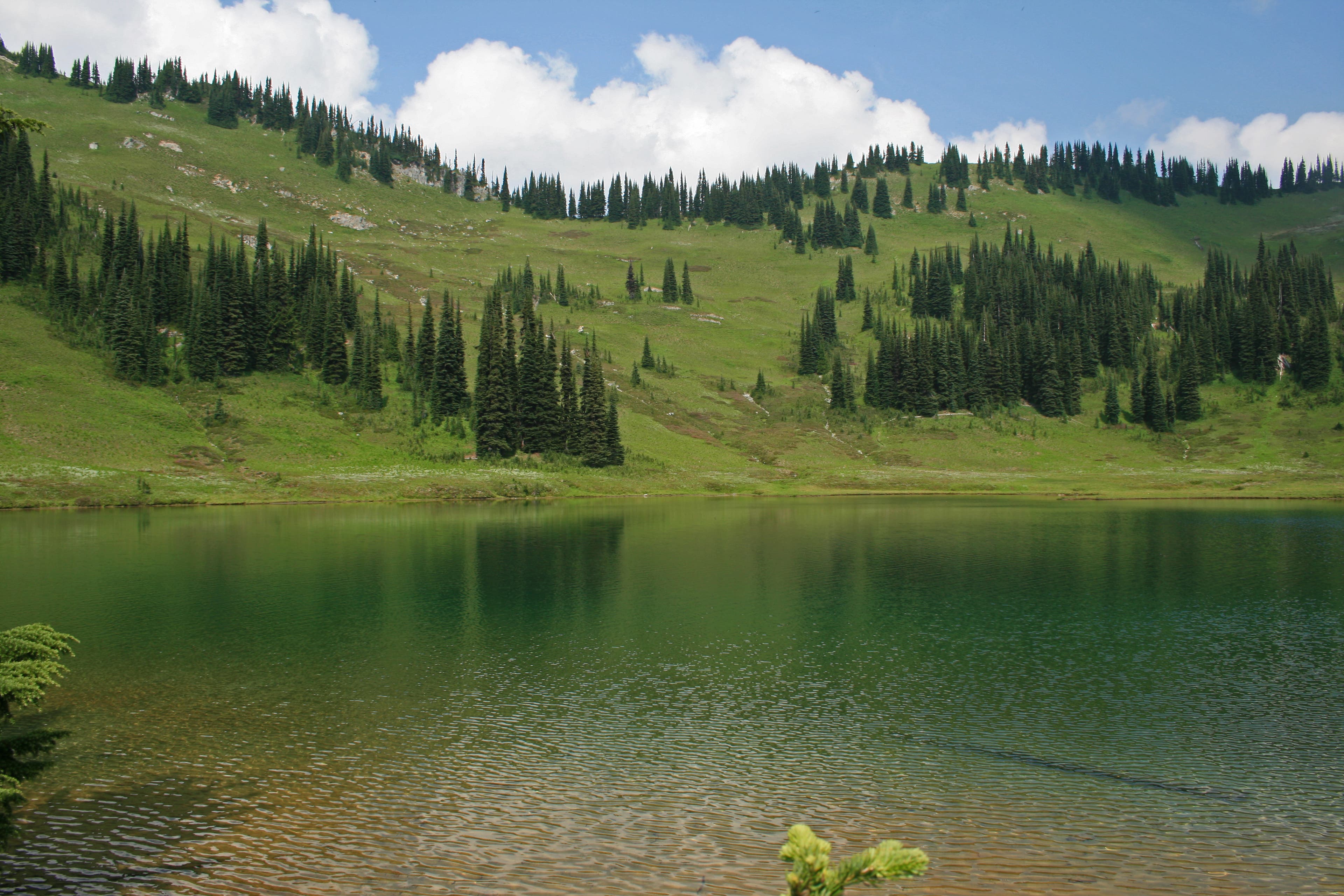
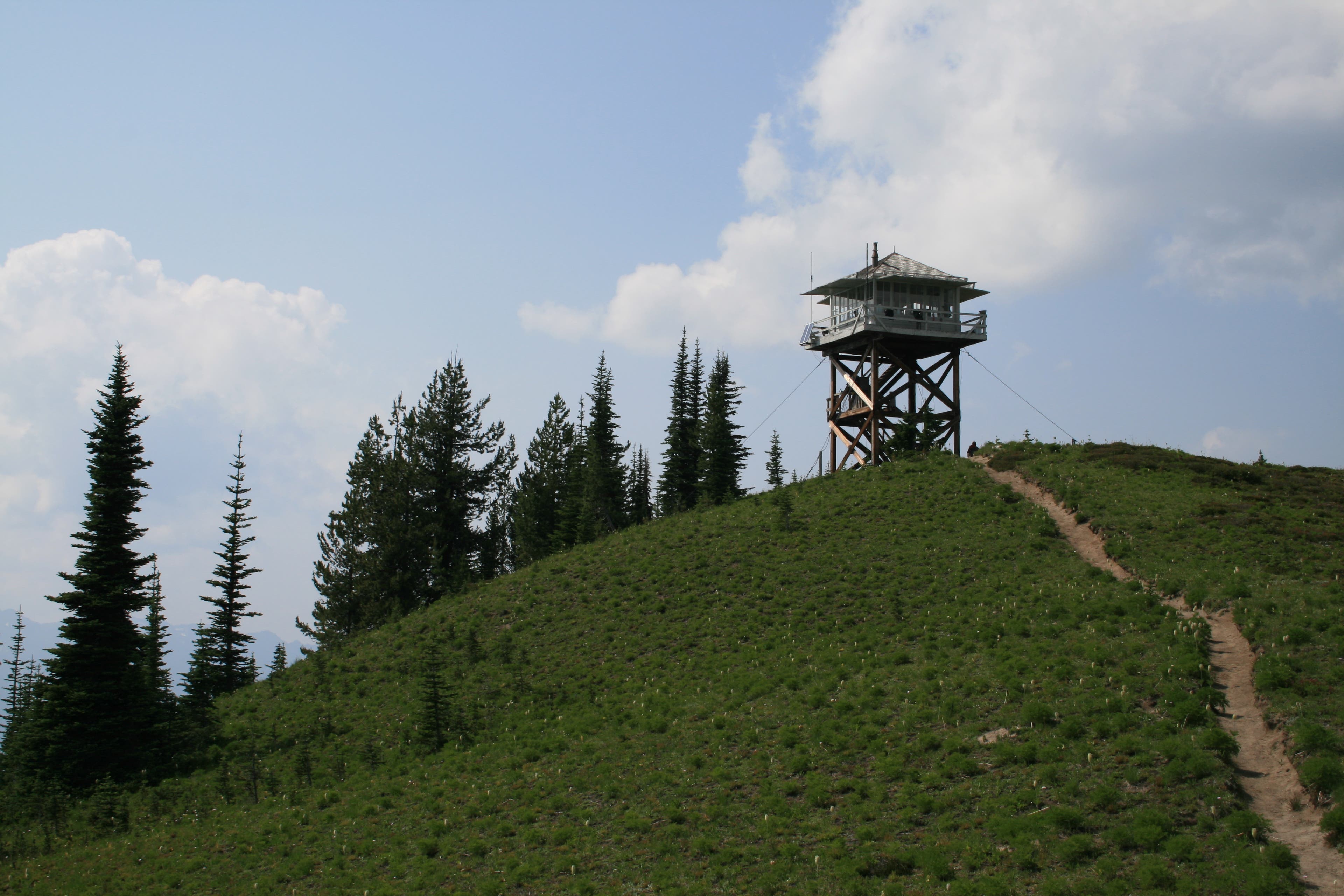
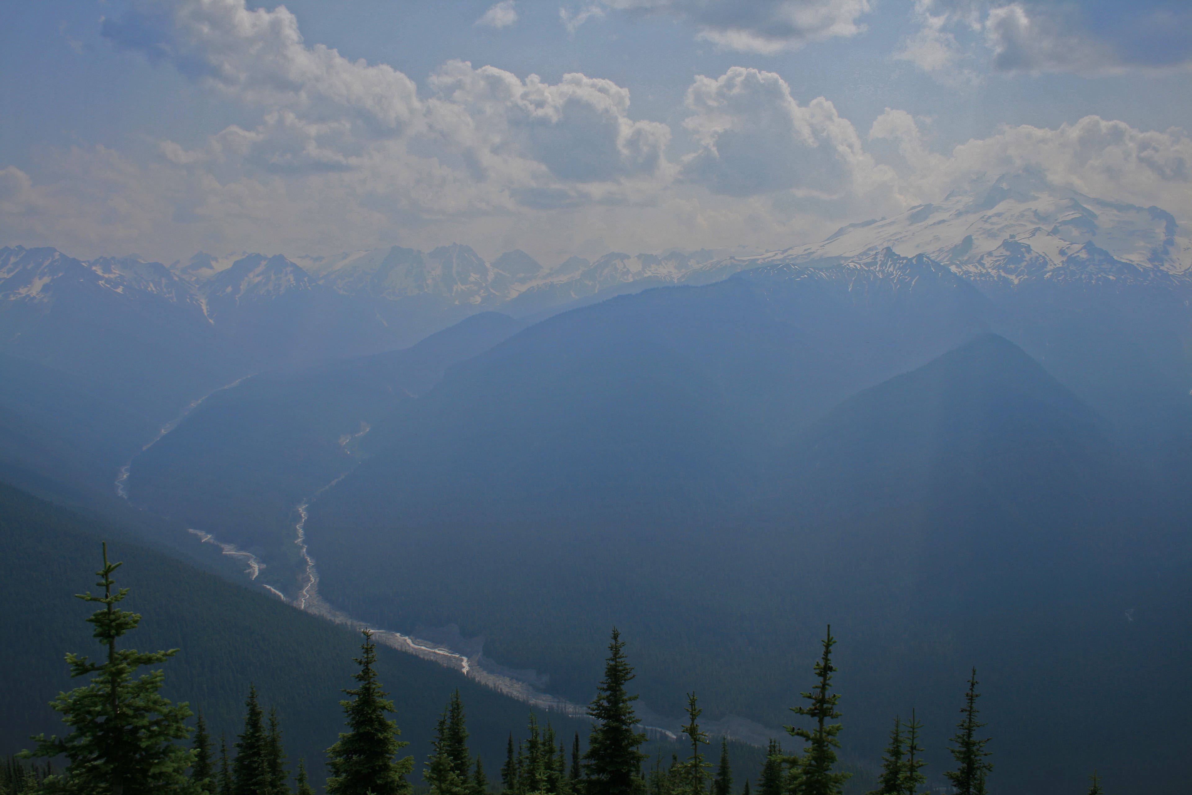
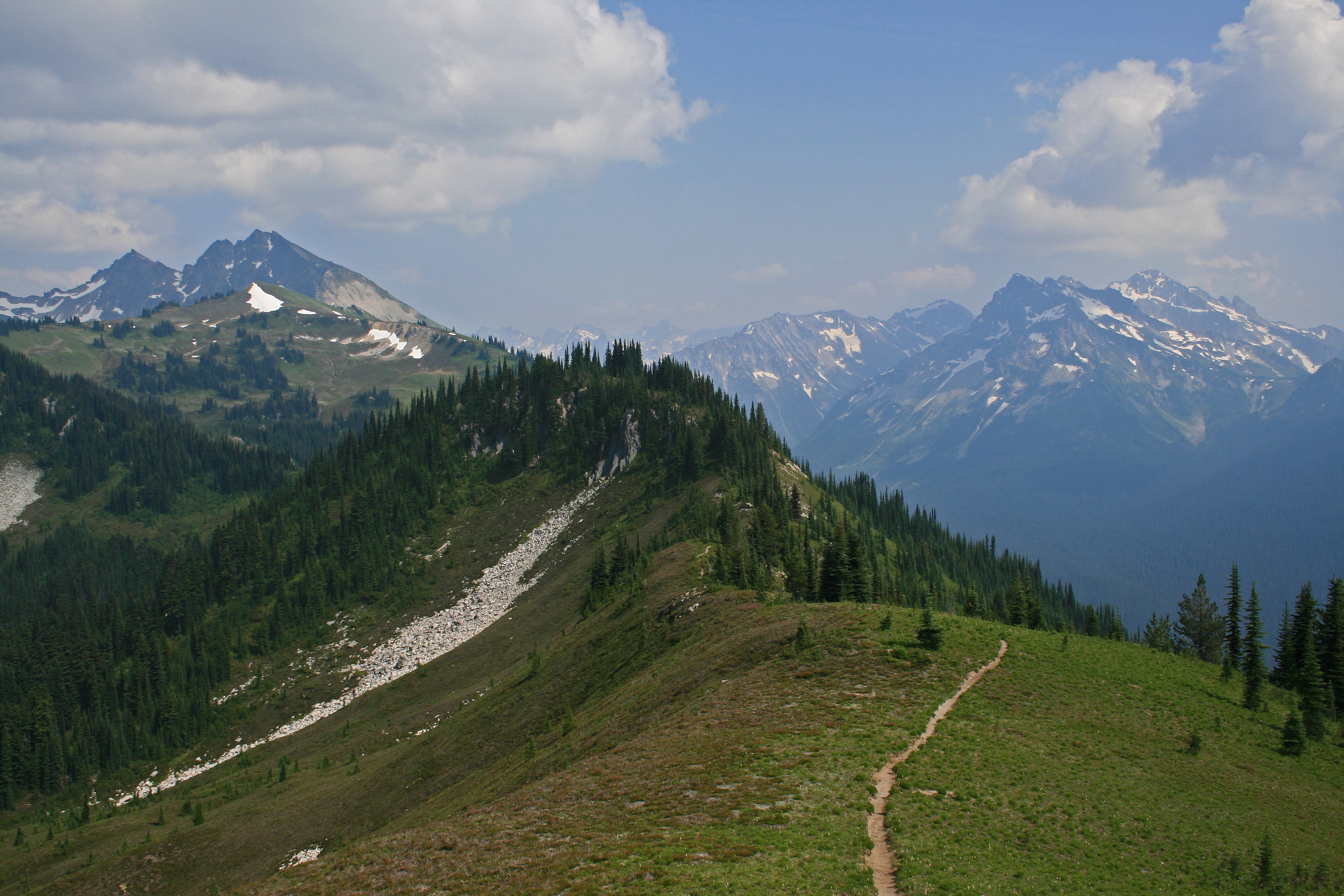
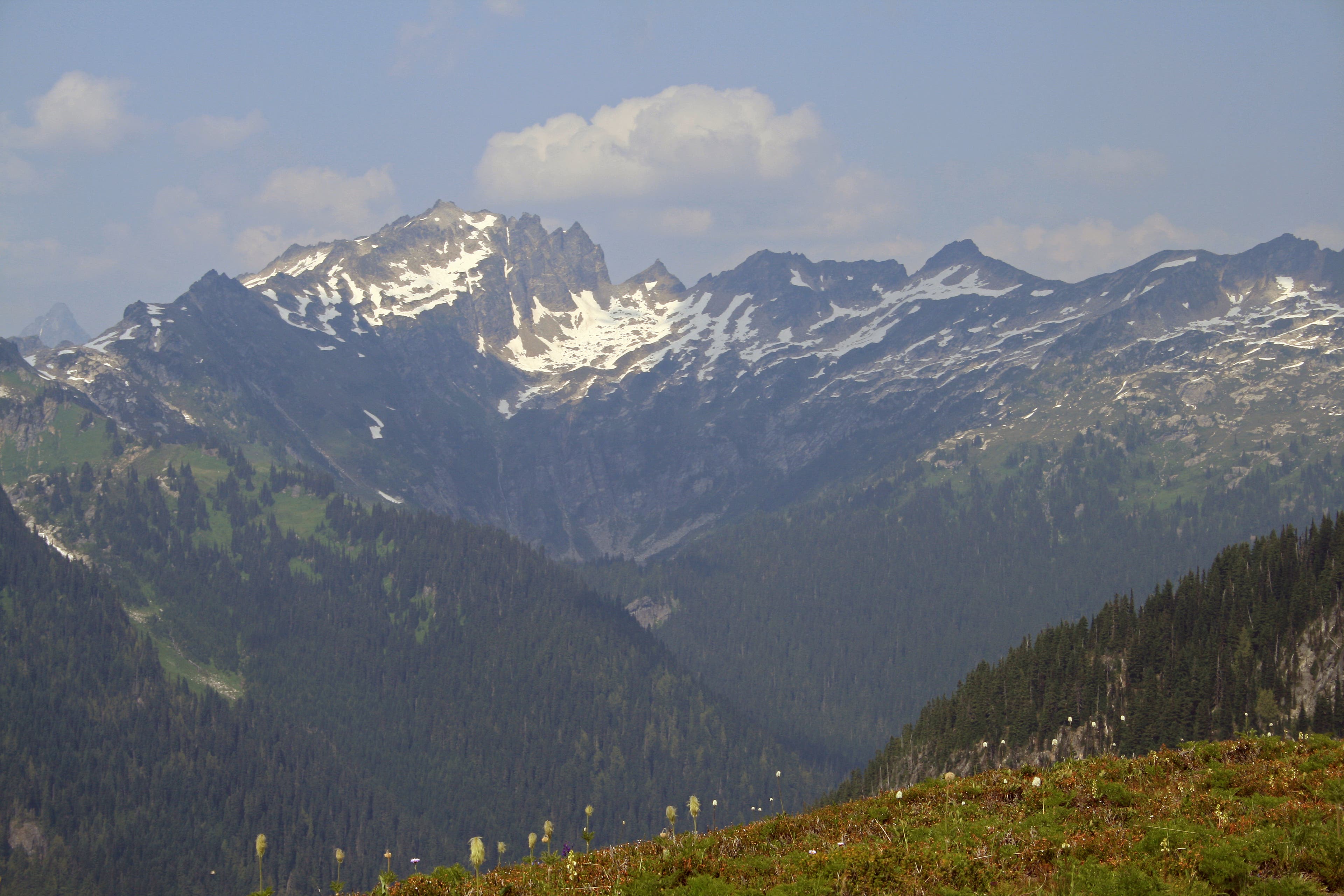
Just past an old log cabin, you’ll come to another trail junction. Turn right on Image Lake Trail and switchback up to an enormous wildflower-strewn meadow. Spectacular views across the Suiattle river valley open beyond the flowers; beyond that peak after peak line up, their jagged summits arching skyward. At mile 6.5 take the lower trail at another junction, dropping into the bowl where Image Lake sits. The camp is to your right at the next trail junction. After setting up camp, hike 1.3 easy miles to a fire lookout with panoramic views, following the western shore of the lake back to the Miners’ Ridge Trail and the lookout at its end.
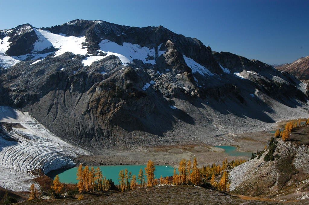
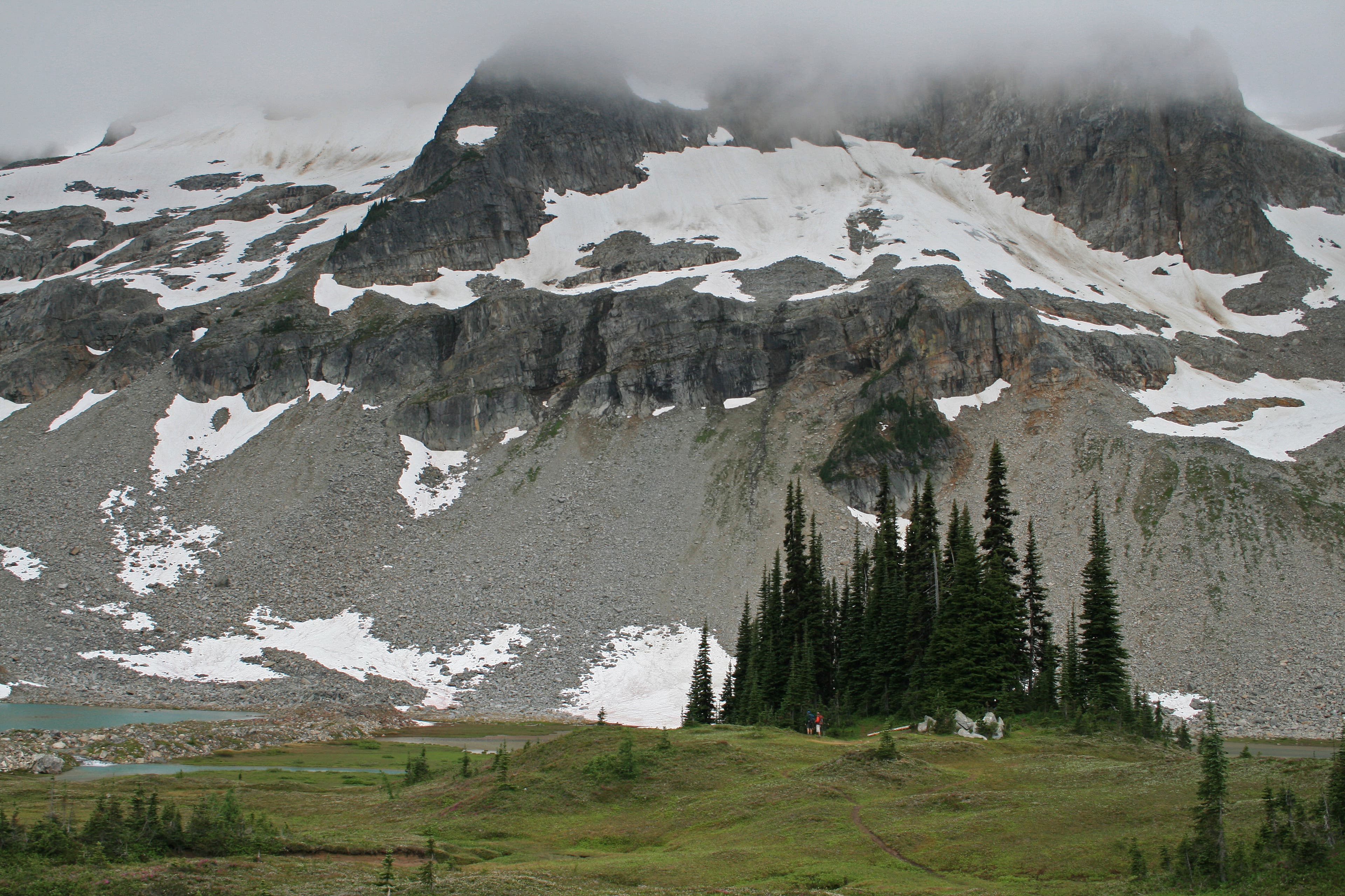
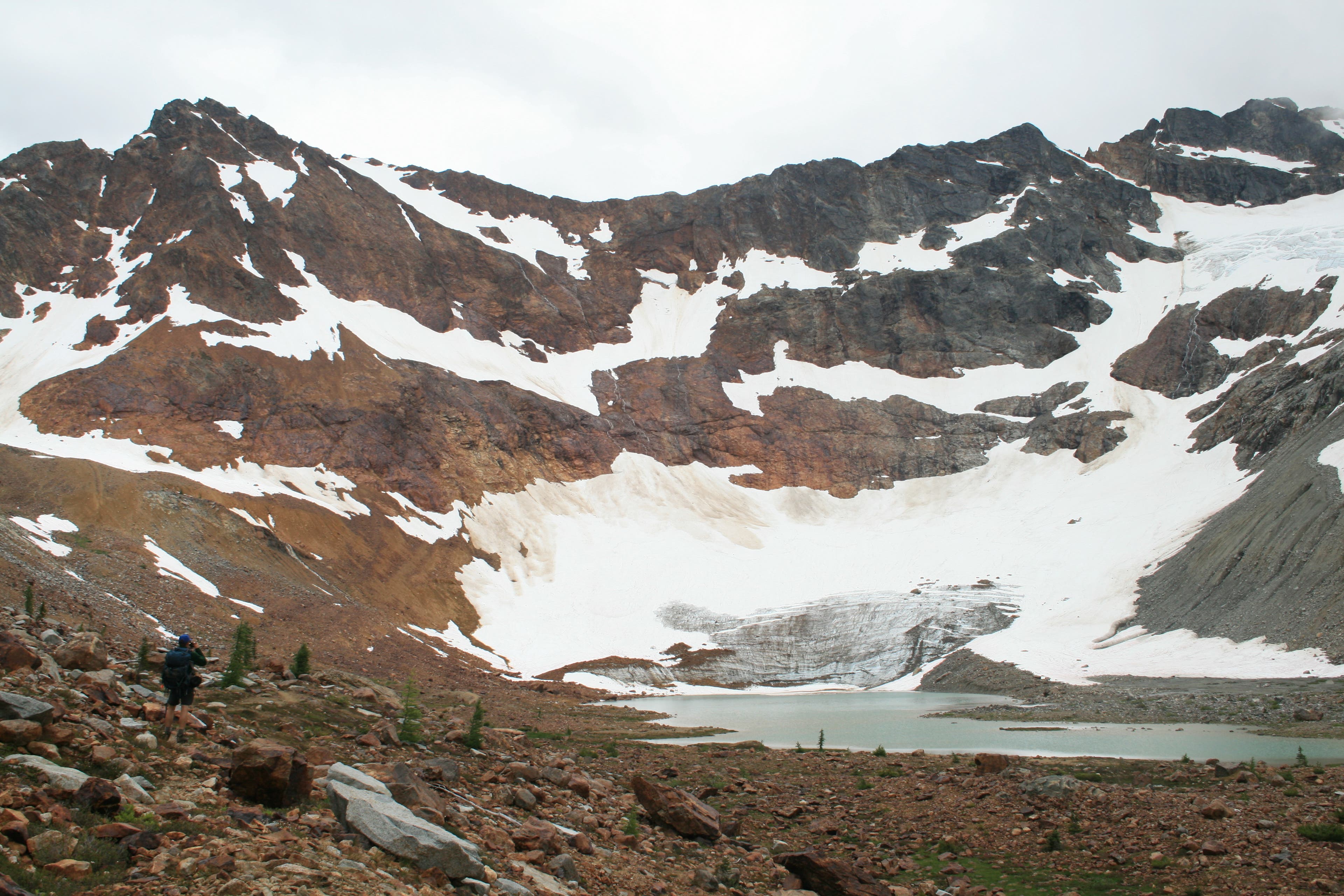
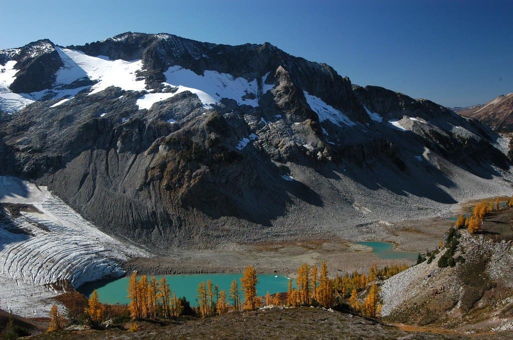
On day 3 retrace your steps to Lower Lyman Lakes, and make camp. This will give you plenty of time to head up to Upper Lyman Lakes, where lush meadows ringed by firs and larches circle the lake. Melt from Lyman Glacier fills the small tarns of the upper lakes, flowing over the rocky moraine. The ice covered peaks of Chiwawa Mountain and Phelps Ridge hem in the valley, as if guarding it from the outside. It’s only a 2.2-mile hike up to the base of Lyman Glacier for those looking for an extra adventure
Return to Holden on day 4. Be sure to reach the village by 1:30pm, as the bus leaves then for Lucerne.
Season summer Permit Free, self-issue at trailhead; day pass or NW forest pass required for parking at trailhead Contact Glacier Peak Wilderness