Updated February 22, 2024 03:23PM
Huckleberry Mountain Trail (Glacier National Park)
Climb 5.8 miles through lodgepole pines to a fire lookout perched above the Apgar Mountains with views that extend across Glacier National Park.
(Photo: Bkamprath via Getty)
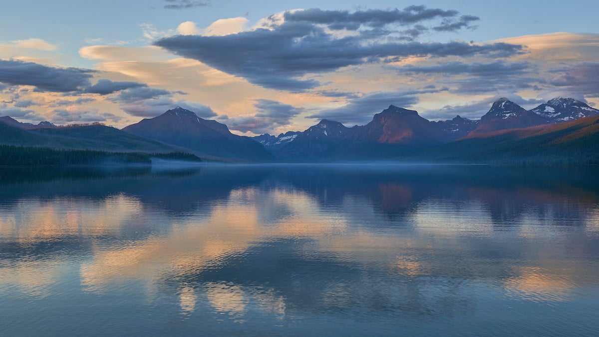
Glacier National Park’s Huckleberry Mountain Trail offers stunning panoramic views that stretch out to the north toward the rugged Livingston Range. While beautiful, this 11.4-miler becomes a magnet for hungry grizzlies come summer and fall because of the plump, purple fruit that ripens along the aptly named Huckleberry Trail.
“Large numbers of bears congregate there when there’s a bumper crop,” says supervisory ranger Gary Moses. In high huckleberry season, rangers often close the trail to day hiking–but backpackers may still complete overnight trips in the area. Be sure you know what to do and to stay safe when heading into bear country.
Trail Facts
Distance: 12 miles out and back
Elevation: 2,725 feet
Difficulty: Challenging
Permits: Yes, for overnight camping.
The Route
Starting near McGee Meadows the trail brings you through the McGee Creek drainage, across the ridge of the Apgar Mountains to the fire tower at the top of Huckleberry Mountain.
-GPS data provided by the National Park Service
ADVERTISEMENT
Huckleberry Trail Trailhead to McGee Creek Drainage
The trail starts near the McGee Meadow and winds southwest along McGee Creek. The terrain steepens after about a half-mile and climbs above the McGee Creek drainage.
McGee Creek Drainage to Apgar Mountains Ridge
Once above the drainage, the trail traverses the forested slopes above the creek and meanders west through a tunnel of lodgepole pines. At mile 4.2, you’ll hike up and over a small saddle, then continue northwest beneath the ridge of the Apgar Mountains. You’ll pass beneath an unnamed 6,309-foot summit and swing around the ridge of another unnamed 6,613-foot peak. The ridgeline hike begins at mile 5.4.
Apgar Mountains Ridge to Huckleberry Mountain Fire Tower
From the saddle, follow the Apgar Mountains ridgetop for the final half-mile to the summit of 6,593-foot Huckleberry Mountain. A fire tower rises from the exposed summit and showcases panoramic views of the rugged Livingston Range.
ADVERTISEMENT
Follow the same route back to the trailhead.