Bowman Lake to Kintla Lake Hike (Glacier National Park)

(Photo: Charlie Williams)
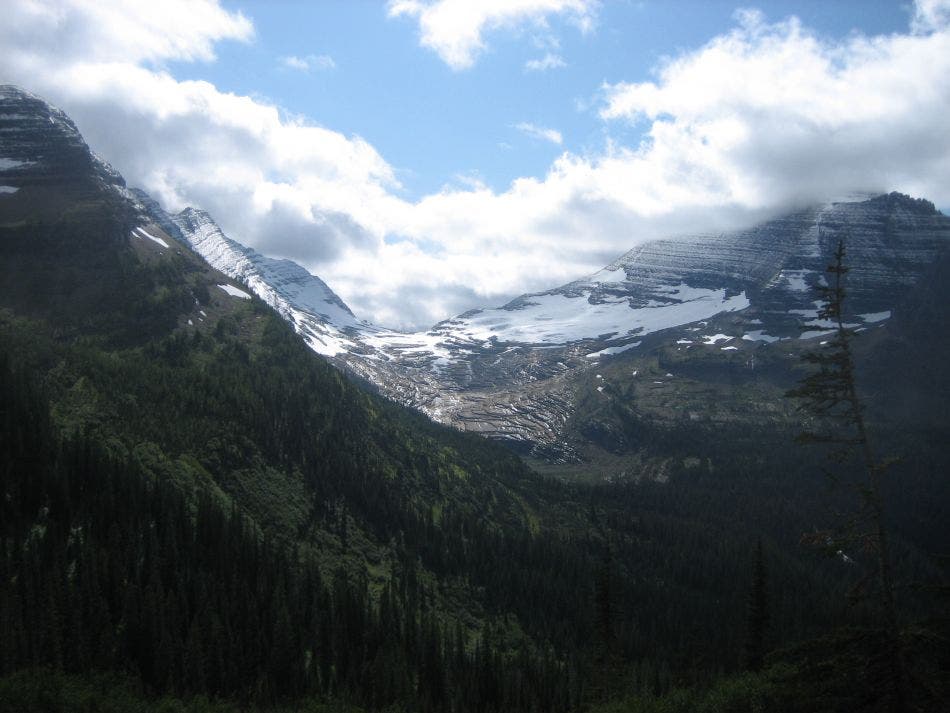
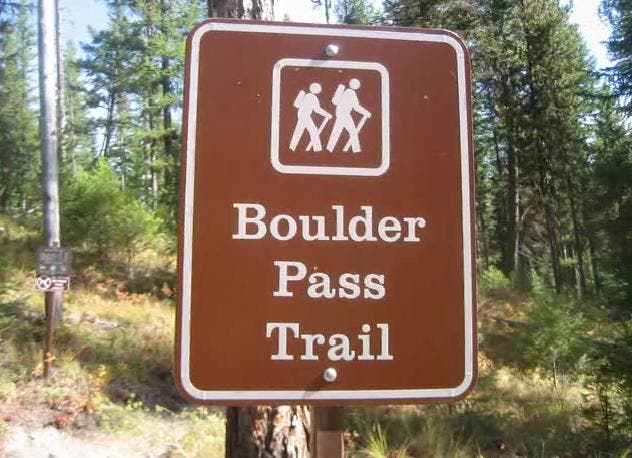
Located at the northwest corner of Glacier National Park, this horseshoe-shaped point-to-point connects Bowman Lake and Kintla Lake with an epic 36-mile trail over Brown and Boulder passes with an overnight stop in the stunning glacial cirque, Hole-in-the-Wall. Begin by following Bowman Lake’s flat shoreline before climbing 2,200 feet and touching the Continental Divide before settling into a hanging valley. After climbing another 1,100 feet to Boulder Pass and the route’s high point at mile 17, you can camp in the boulder-strewn valley there or descend a headwall on a scenic, switchbacking trail. Be sure to look for the Agassiz Glacier—toward Upper Kintla Lake.
The westbound stretch of trail comes within 1.5 miles of the Canadian border and connects Upper Kintla and Kintla lakes as it skirts several burn areas below the Boundary Mountains and Starvation Ridge. Reaching Kintla Lake, however, isn’t the end of the journey. There are still 20 road miles between trail-end and Bowman Lake, so arrange a shuttle ahead of time either within your group or with locals (commercial outfitters aren’t permitted to travel to Kintla, so you may have to get creative about your ride).
Trail Facts
Distance: 36 miles (20-mile shuttle back to the Bowman Trailhead)
Time to complete: 4-5 days
Elevation: 6,058 feet
Difficulty: Challenging
Permits: Yes
The Route
From the Bowman Lake Trailhead to Hole-in-the-Wall to Upper Kintla and Kintla Lakes, this trail breakdown walks you through where to go and what to expect on this multi-day hike in Glacier National Park.
-Mapped by Charlie Williams
Bowman Lake Trailhead to Bowman Lake
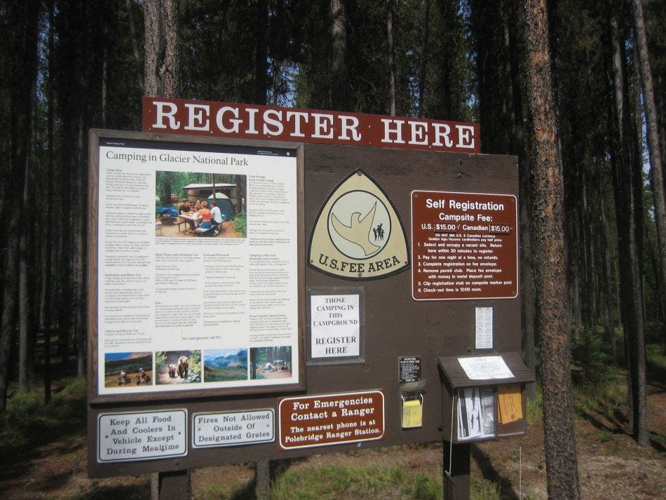
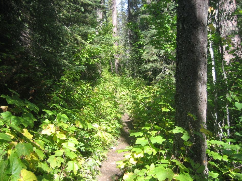
The hike starts at the Bowman Trailhead. You can find parking along the main campground road next to the self-registration bulletin board. Follow the trail through lodgepole pines toward the lake, turn left on the road, and then bear right onto the trail. You’ll pass the ranger cabin and a sign announcing the Upper Bowman Campground. Stay to the right at this junction with the Numa Ridge Trail. The thick montane forest on the lake’s north side is dominated by Douglas fir, but the brushy trail can be slick with black mud.
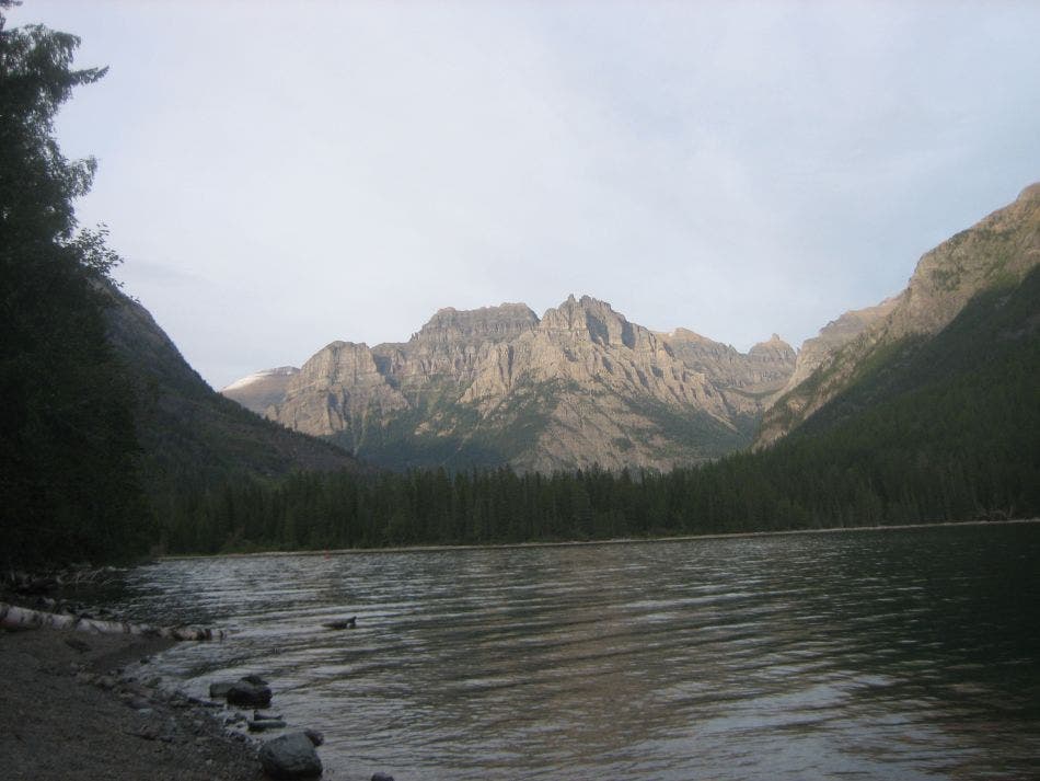
Near mile 3.2 the trail comes within a few feet of the lakeshore and there’s a small gravel beach perfect for a quick break and a view. From this point, the trail is closer to the water and the open understory allows for more regular views of the lake. Nearing the north end of Bowman Lake is the campground spur trail. The two southernmost sites have the best views and a cooking area fire pit, but the others are very secluded. Watch for eagle activity in the area.
Bowman Lake to Brown Pass
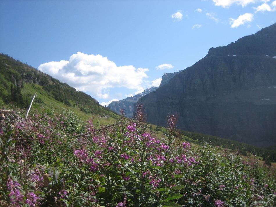
After leaving the shores of the lake, you’ll have to navigate multiple stream crossings. Though low and easy to cross in late summer, spring runoff can make this and the crossings of Pocket Creek, 3 miles ahead, much more difficult. The trail crosses Pocket Creek at three different branches just north of its convergence with Bowman Creek. The first and last are less significant than the middle where there is a bridge under construction. Once you cross the creek, the climb intensifies toward Brown Pass.
Brown’s Pass is 6,255 feet above sea level and on the Continental Divide. The Brown Pass Campground is another option for nights one or two. Once you reach the pass, the hike turns west and continues along the Boulder Pass Trail. Look east for a view of Hawksbill and an alternate eastern approach toward Boulder Pass.
Brown Pass to Hole-in-the-Wall
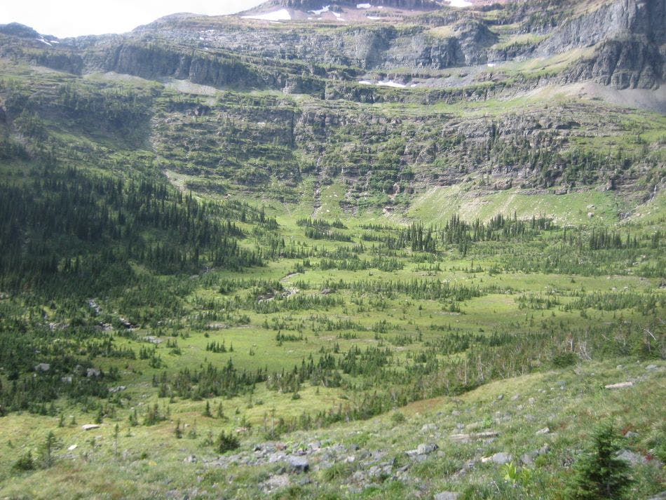
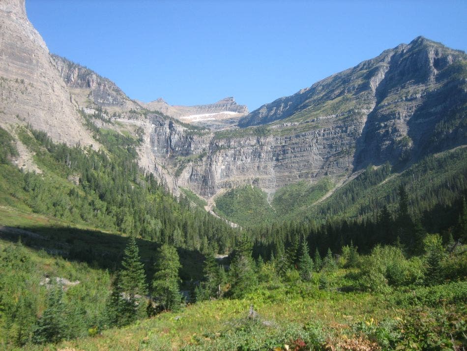
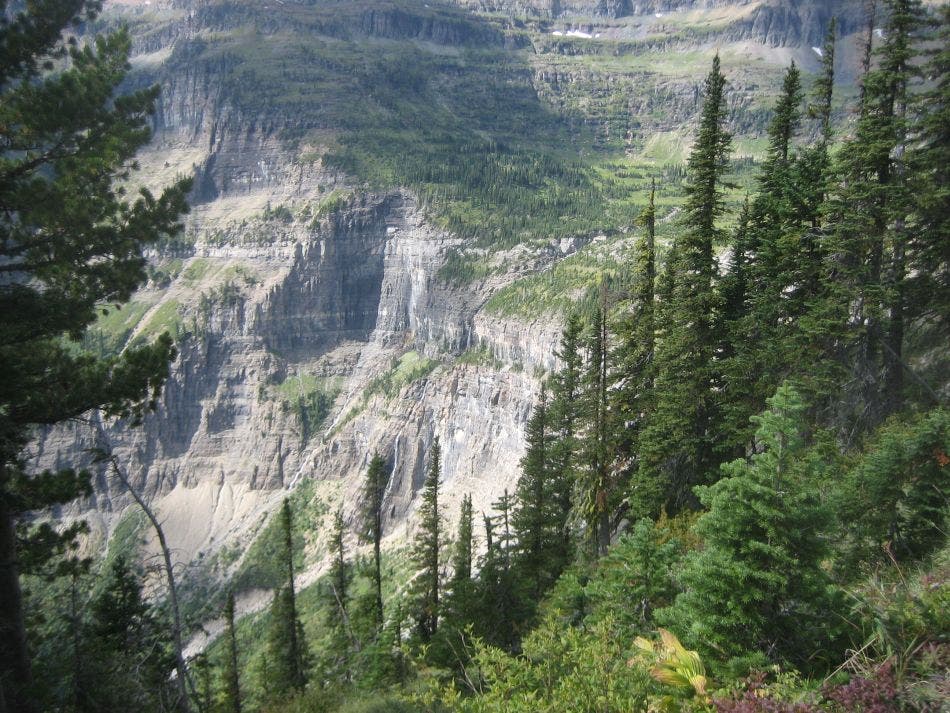
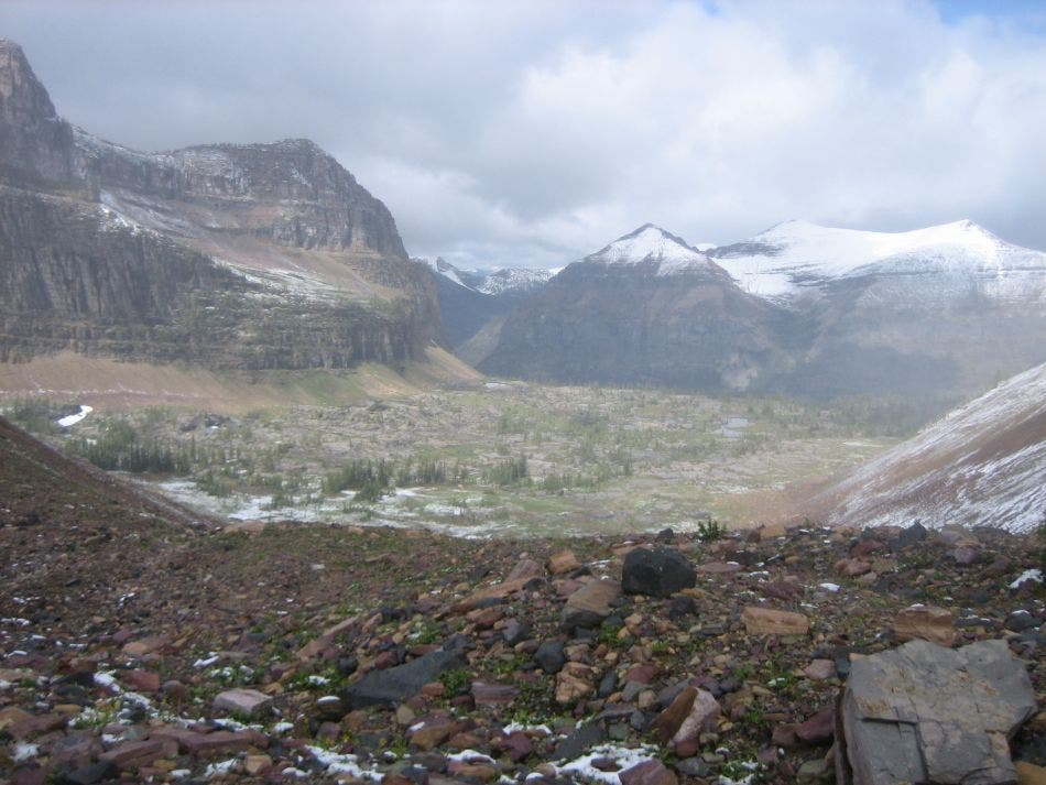
As the Boulder Pass Trail swings north it cuts into the side of the cliffs of the Helena Formation. Although wide and safe, this short stretch of trail may challenge hikers fearful of heights. Pass over the lip of Hole-in-the-Wall before the trail splits. Bear left at the Y-junction for a 1-mile round-trip to Hole-in-the-Wall’s popular campground. The short side trip to the base of the glacial cirque is a worthwhile detour for lunch or camping.
Hole-in-the-Wall to Kintla Lake
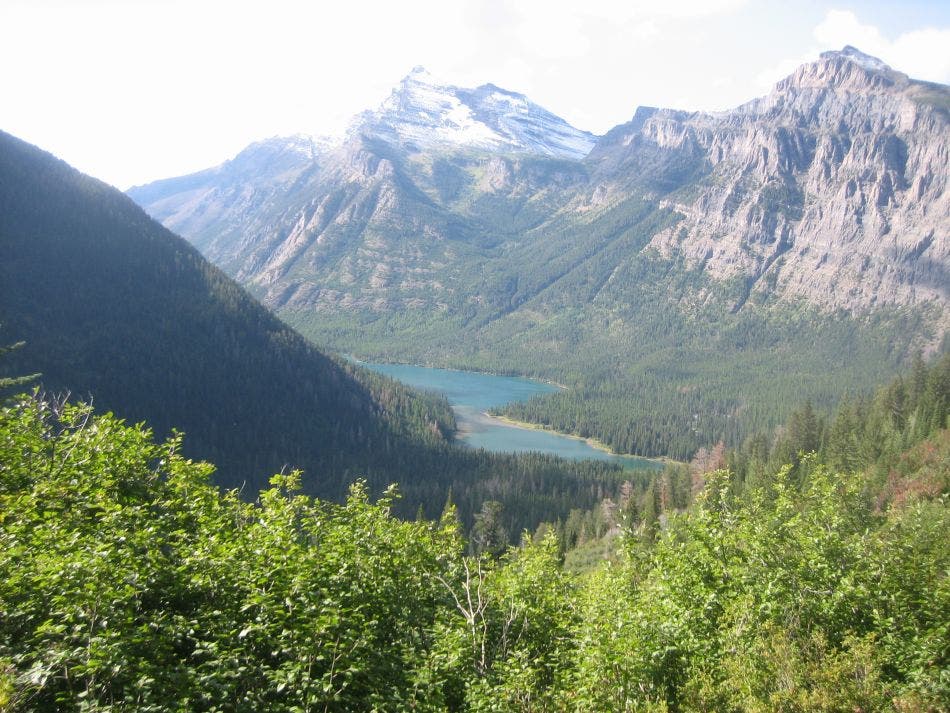
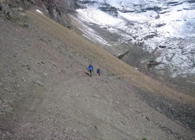
Hike along the upper rim of the cirque, along the wall of a hanging valley, across a cairn-marked talus slope, and over several ledges en route to Boulder Pass. This 7,470-foot pass is the route’s high point and the trip’s halfway point. A 0.1-mile spur trail leads north to the tent pads and food preparation area of Boulder Camp. From here, it’s a thimbleweed-flanked, switchbacking, 3,250-foot descent toward Upper Kintla Lake.
Cross Kintla Creek on a bridge; ribbons and cairns mark the main trail. A sign up ahead marks the right-hand spur trail to Upper Kintla Campground. There are four tent pads, a food prep, and a fire area near the campground as well as a hitching post for stock animals nearby. A gravel beach on the lakeshore is a good place to dry gear.
The hike from the Upper Kintla Campground to Kintla Lake is a 5-mile, mostly flat trek through predominately Douglas fir and Engelmann spruce. You might see western larch and wild roses near the trail and glimpse the remnants of the 2003 fire on the upper lake’s far side. Cross another creek, which leads to a clearing, then a recovering burn zone, and a hilly moraine.
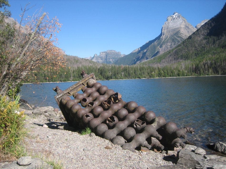
The old Kintla patrol cabin precedes the middle Kintla Campground. There are six tent pads, a food prep area, a fire area, and a hitching post. On the gravel beach and in the lake are remnants of the early 20th-century Butte Well.
Kintla Lake to Polebridge (the hike’s end)

From the campground, the trail meanders through an overcrowded forest (a product of the no-burn forest management policy) for 1.5 miles before a short, sharp 300-foot climb from the lakeshore. The trail splits less than half a mile from the route’s end in Polebridge. Bear right to bypass the drive-in camping area and continue to the parking lot.
It’s about 19 miles by road between Kintla Lake and the Bowman Trailhead. Shuttle logistics can be difficult, but consider leaving a car or bicycle here, or hiring a ride in Polebridge or another nearby town before your trip.
Additional Photos
