Published September 20, 2013 03:47AM
Glacier National Park: Avalanche Lake
Hike through old-growth forests and climb 600 feet alongside a glacier-fed stream on this 4.7-mile out-and-back that ends on the shores of Avalanche Lake.
Beginning with a fully-accessible stretch of wooden boardwalks on one of Glacier’s most-popular trails, this 4.7-miler cruises a lush bottomland forest of old-growth cedar. The trail crosses Avalanche Creek—one of only a handful of glacier-fed streams in the park—and turns uphill on a more rugged path at the half-mile mark. After a series of steps, you’ll roll uphill along the edge of the creek through super dense stands of pine and rocky outcroppings. Take a few minutes to explore the some of the easy-access banks of the icy waterway.
It’s a steady climb until the forest opens up just 0.25 miles from the shores of the lake. The lake itself is 57 acres of cloudy blue water below a steep, cascade-bedecked headwall. Continue along the lake’s west side to a sandy beach at its head. There you can cast for cutthroat trout (check fishing regulations first) or hang out on log benches along the shore and just admire the view.
PERMIT: Overnight camping in Glacier National Park requires a backcountry permit. Check out the latest fees and more details at nps.gov/glac/planyourvisit/backcountry.htm.
MORE PARK INFO: Glacier National Park, (406) 888-7800; nps.gov/glac/.
-Mapped by Kristy Holland


Trail Facts
- Distance: 7.4
Waypoints
AVL001
ADVERTISEMENT
Location: 48.679174, -113.819625
From the roadside parking areas, walk north on the paved path to begin. Watch for traffic while crossing the busy road.
AVL002
Location: 48.680067, -113.819218
Connect with the Trail of the Cedars boardwalk loop. This first 0.5-mile stretch of the route connects with the final 0.4-mile stretch to complete a wheelchair-accessible loop, and one of the few park trails where pets are allowed.
AVL003
Location: 48.679414, -113.815891
The old-growth cedar on this section of the boardwalk are between 500 and 600 years old. Look for nursing logs (fallen trees with sprouting seedlings), mushrooms, and young trees from the platform trail.
AVL004
Location: 48.676436, -113.814272
Stop for some pictures on the bridge over Avalanche Gorge–one of the highlights of the lower trail–before this right turn onto the Avalanche Lake Trail. On the return trip, the route follows the south side of the Trail of the Cedars loop from this junction.
ADVERTISEMENT
AVL005
Location: 48.675849, -113.812315
Don’t get too close to the edges of Avalanche Gorge. The step, smooth walls have been worn down by the grinding action of debris in the glacier-fed stream. The severity of the grade lessens as you climb up the bank.
AVL006
Location: 48.672632, -113.806053
Just past mile 1, you’ll pass the burned, standing trunk of an old tree. Up ahead, you’ll continue through densely packed trees with little understory.
AVL007
Location: 48.666426, -113.795907
Look across the creek to your left for peek-a-boo views of Mount Cannon and Bearhat Mountain.
AVL008
Location: 48.660972, -113.791511
A few hundred yards from the lake shore, the tree cover opens up. You’ll pass an outhouse spur trail as you proceed southeast toward the muddy beach.
AVL009
Location: 48.659647, -113.79025
ADVERTISEMENT
Avalanche debris on the lake’s north shore is an obvious indication of where the lake got it’s name. The steep mountainside around it are also covered in waterfalls, though nearby peaks block a view of the Sperry Glacier that feeds this watershed. After enjoy the scenery, head back the way you came to waypoint #10.
AVL010
Location: 48.676927, -113.815667
The last stretch of trail bypasses some campground facilities, including a restroom. Follow the paved path toward the road.
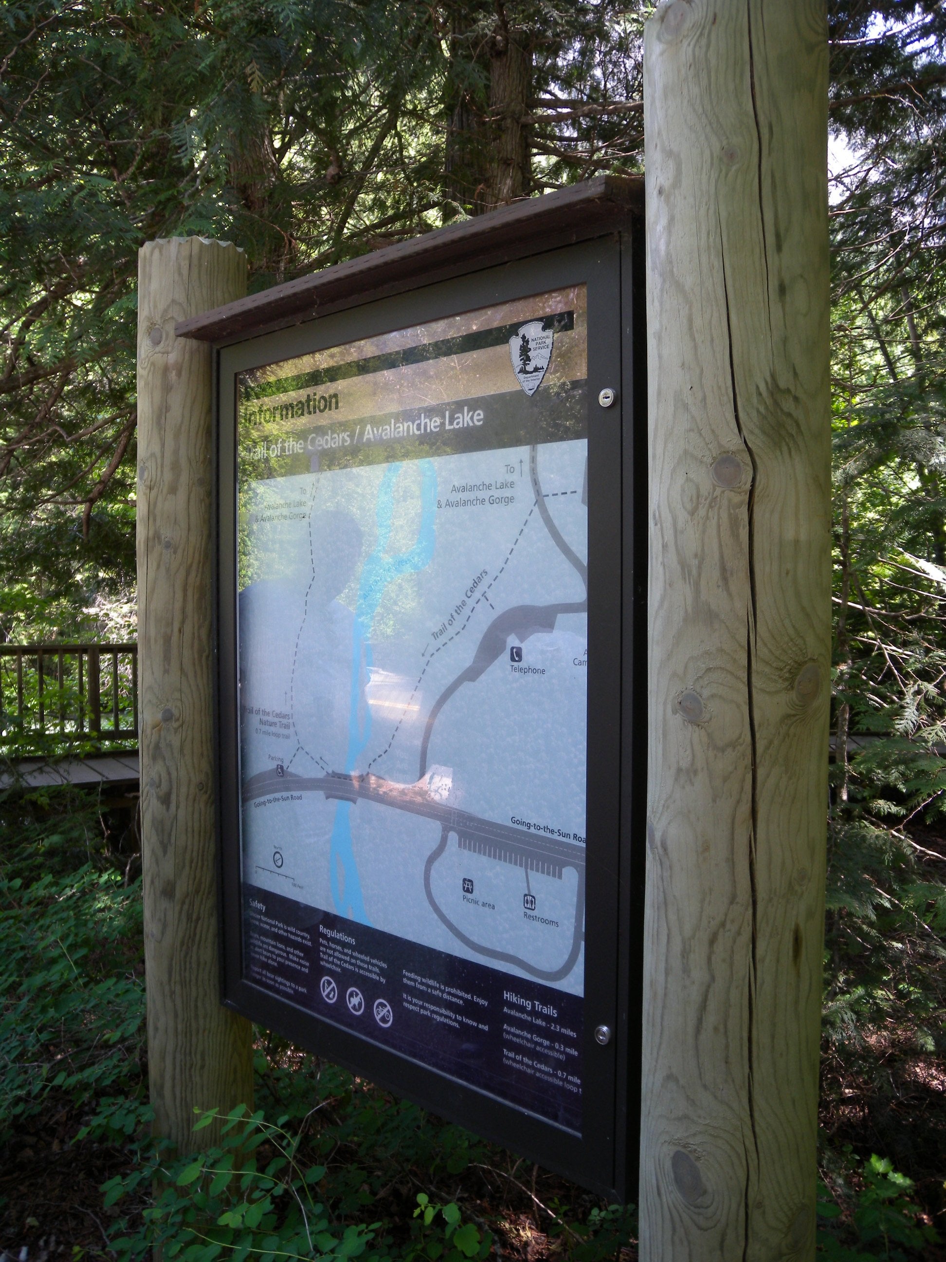
Kiosk
Location: 48.679847, -113.819277
You’ll spot this sign where the Trail of the Cedars begins near the road.
Old Growth
Location: 48.679433, -113.816013
Though there are many interpretive signs guiding visitors along the forest floor, don’t forget to look up.
Avalanche Creek
Location: 48.676702, -113.813639
There is a dramatic fall in this narrow slot known as Avalanche Gorge.
Warning
Location: 48.676551, -113.814137
Trail
Location: 48.674319, -113.808171
There are some easy-access shorelines, small steps and bridges on the trail as it skirts the creek and winds through the dense forest.
Opening
Location: 48.666239, -113.795936
When there is an occasional opening in the trees, look left for views of nearby peaks.
Headwall
Location: 48.659683, -113.790416
Standing on the wet, sandy shores of Avalanche Lake.
Paved
Location: 48.676888, -113.815634
ADVERTISEMENT
The 0.9-mile loop at the base of this route is wheelchair accessible on a combination of wooden boardwalks and rough pavement.