Published September 20, 2013 02:46AM
Glacier Bay National Park: Muir Inlet Paddle
Explore the inner reaches of the Muir Inlet on this 5-day paddle in Glacier Bay National Park.
(Photo: Mint Images via Getty Images)
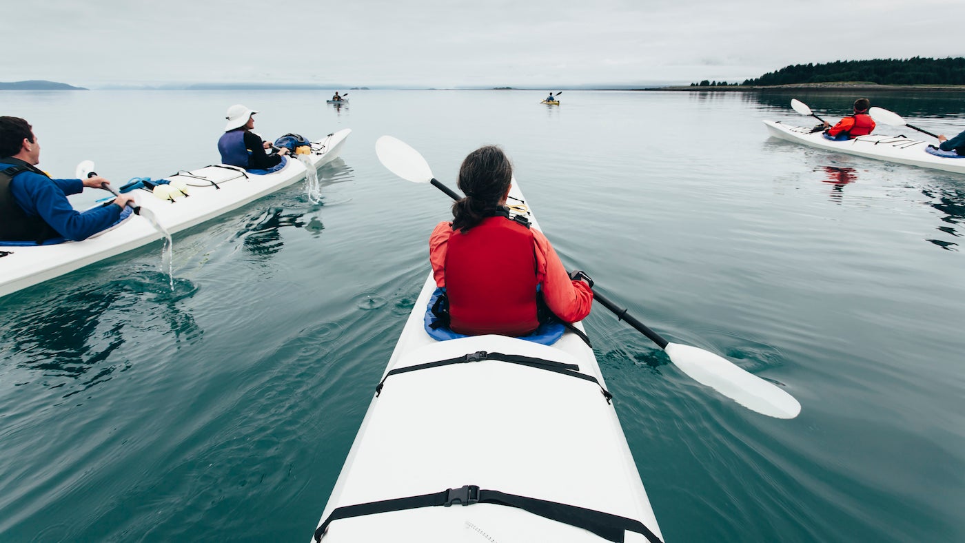
Paddle your kayak along Glacier Bay’s dynamic shores and you’ll literally see land being created before your eyes. As receding glaciers send sapphire-blue icebergs thundering into the bay, they expose new sections of rocky shoreline. And as the weight of the ice lifts, land ringing the bay actually rises—up to an inch per year. McBride Bay, at this trip’s northernmost point, is just 50 years old. Witness it all—and much more—on this five-day, 45-mile journey.
In the spring, humpback whales breach the icy waters along with orcas and gray whales. Grizzlies, moose, and wolves patrol the forested shores year-round. Caution: As you paddle Muir Inlet, remain alert. Rolling icebergs and calving glaciers can create waves large enough to flip kayaks and dislodge careless tie-downs. Be cautious around icebergs, and view glaciers from at least a quarter nautical mile away. Be sure to beach your craft well above the waterline; in late spring (when whales fill the inlet, but before the mosquitoes arrive), the tidal exchange reaches 20 feet.
INFO Permits (free) are required May to September, as is the bear-safety session at the visitor center. (907) 697-2627; nps.gov/glba.
Trail Facts
- Distance: 73.6
Waypoints
MIP001
ADVERTISEMENT
Location: 58.784796, -136.050053
Ride the Fairweather Express to the Mount Wright drop-off point to begin the paddling trip. Launch your kayak and head northwest.
MIP002
Location: 58.794225, -136.06782
Stay close to the shoreline as you travel northwest toward Muir and Adams inlets.
MIP003
Location: 58.819875, -136.092453
Round Muir Point and bear right (northeast) into Adams Inlet.
MIP004
Location: 58.841642, -136.048336
Stay close to the shore as you paddle into Adams Inlet.
MIP005
Location: 58.846726, -136.012802
Hug the south shore and begin to look for potential campsites. Spend the night in Adams Inlet. Day 2: Paddle west to the mouth of Adams Inlet, then head north toward Maquinna Cove.
MIP006
Location: 58.852654, -136.065502
After rounding Point George, paddle north into Muir Inlet. Stay close to the eastern shoreline.
MIP007
Location: 58.934156, -136.082668
The route bends to the northwest; stay close to the forested shoreline on the east.
MIP008
Location: 58.956737, -136.107559
ADVERTISEMENT
Sheltered home of an 800-year-old Tlingit tribal village. Camp on the shore of this south-facing cove. Day tk: Paddle northwest,
keeping Sealers Island to port.
MIP009
Location: 58.973817, -136.119747
Glide past Nunatak Cove, the small inlet on the right.
MIP010
Location: 59.010075, -136.122665
Paddle northwest past the point ahead. You’ll pass the McBride Glacier ahead.
MIP011
Location: 59.029382, -136.148329
Do not paddle into McBride Inlet: its bottleneck shape means strong currents and violent tides. Continue heading north toward the shore; look east into the inlet for views of McBride Glacier.
MIP012
Location: 59.03419, -136.143265
After passing the mouth of McBride Inlet, find a suitable area to set up camp. Day 3: Turn around and paddle south, retracing your route.
MIP013
Location: 58.873424, -136.065674
Hug the eastern bank to reach this beach campsite with unobstructed views of the lower bay’s forested coast. Final day: Meet the ferry 10.3 miles south at the Mt. Wright pick-up.