Frisco, CO: Peak 1

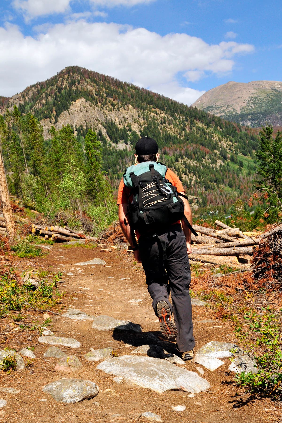
This 6.9-mile hike to the top of Peak 1 leaves straight from town. From the parking area at the end of 2nd Avenue, pick up the connector trail that leads 0.2 mile to a 3-way junction with the Mount Royal Trail. Turn left onto Mount Royal Trail and start climbing through pine forest. After 0.7 mile, pass a tailings pile on the right and continue climbing southwest.
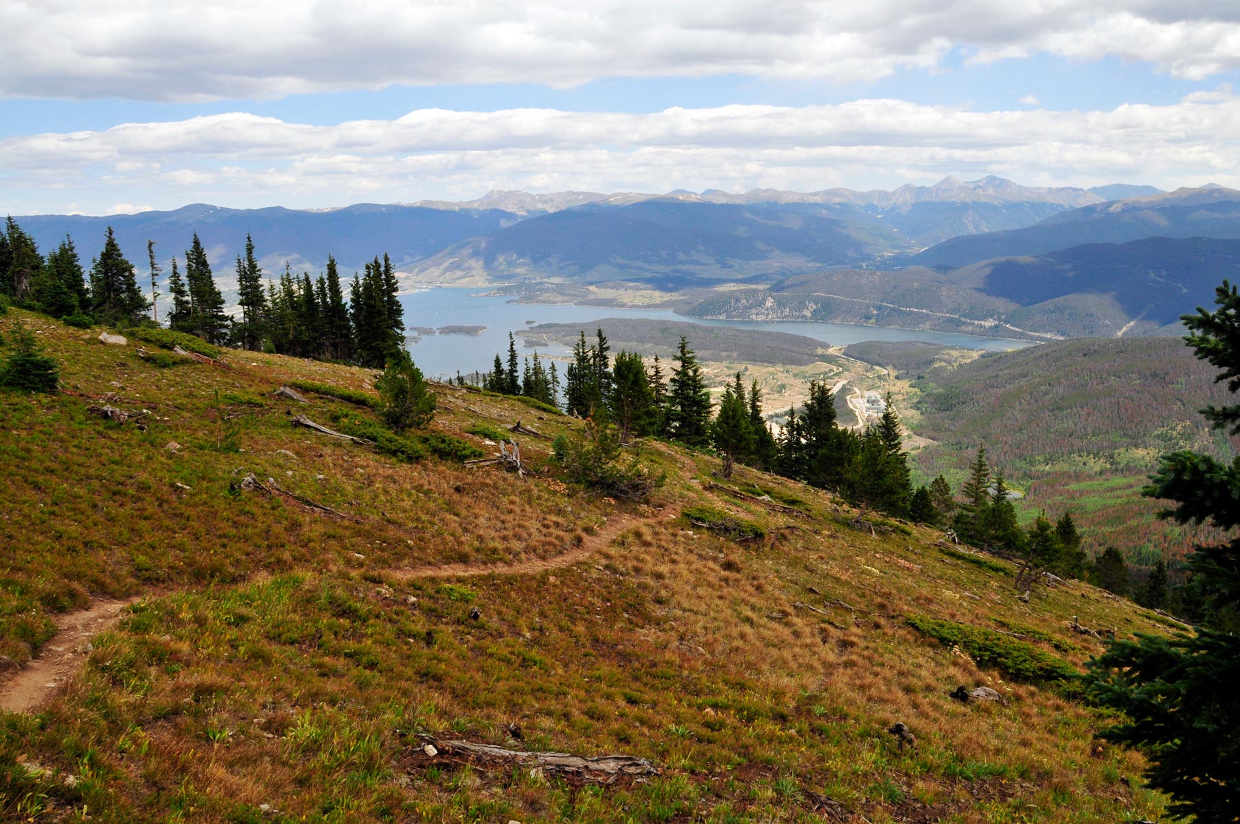
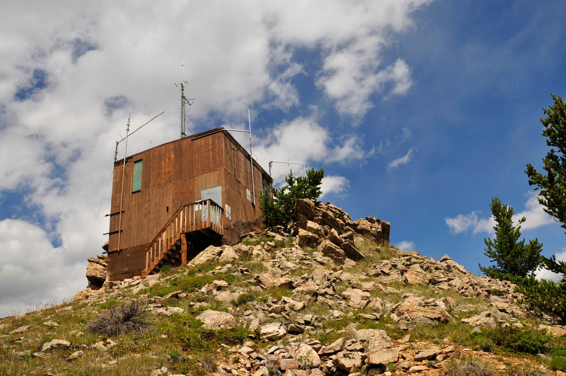
Over the next mile, the route switchbacks to a ridgeline south of Mount Royal. Along the way, you’ll pass the junction to Mount Royal and numerous old mines and miner’s cabins. After 2.4 miles, the trail climbs above treeline and traces the ridgeline south past an old weather station. Views of the Gore Range extend to the northwest.
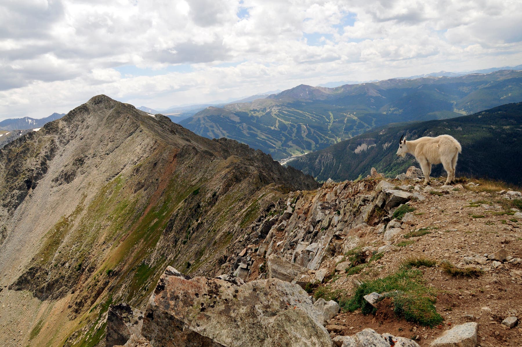
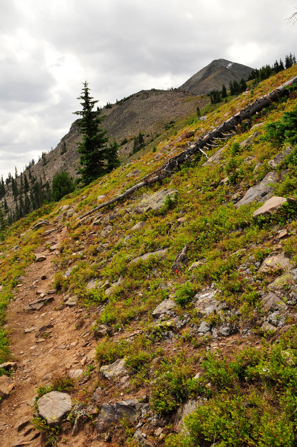
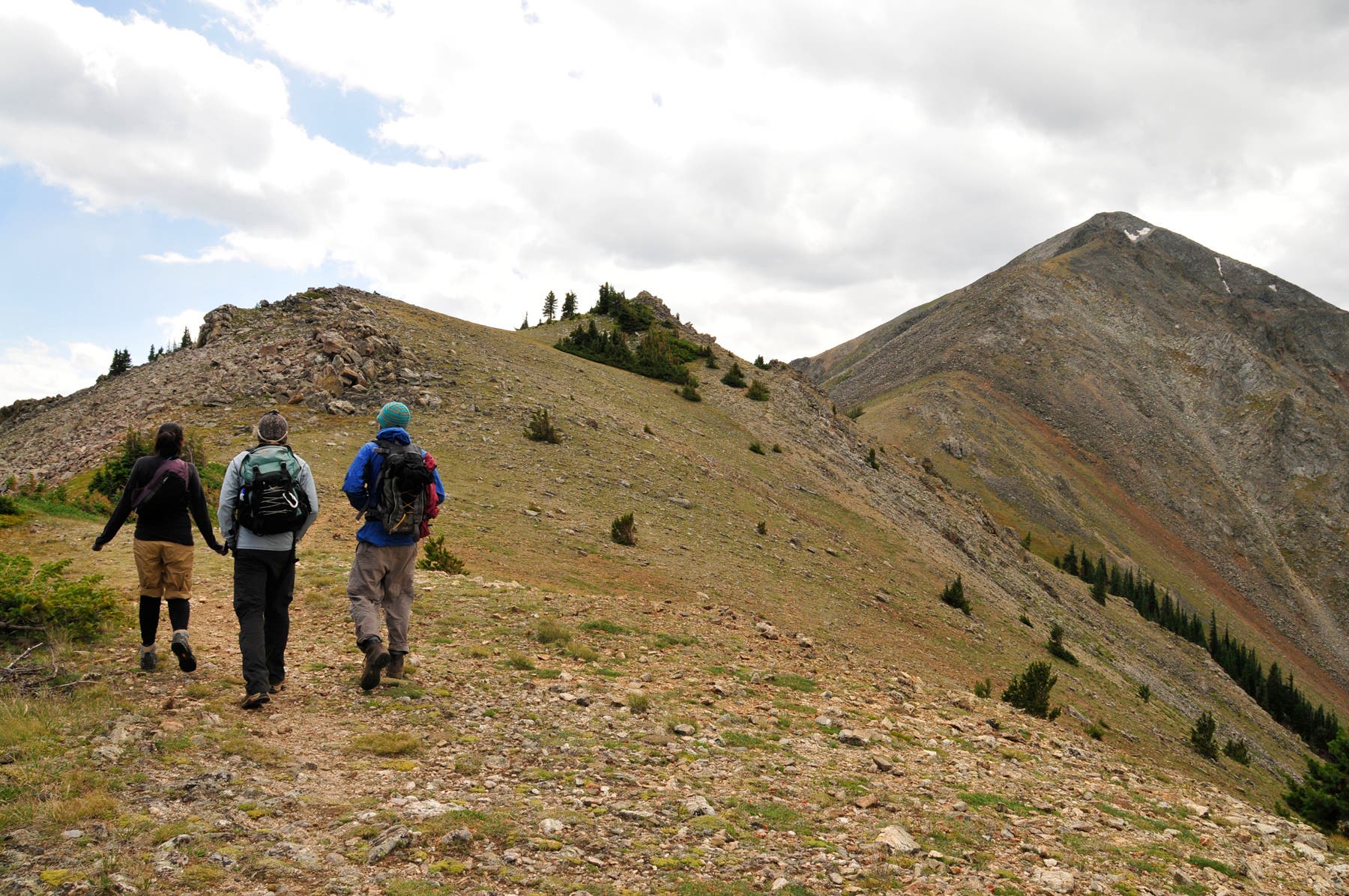
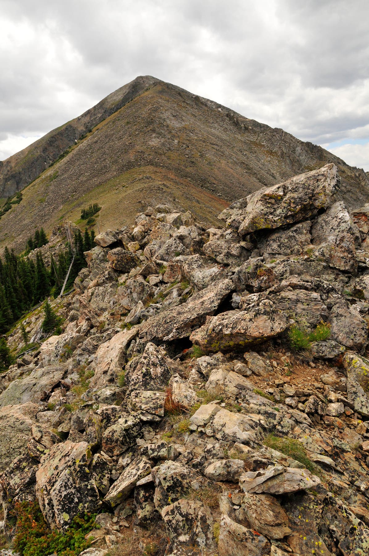
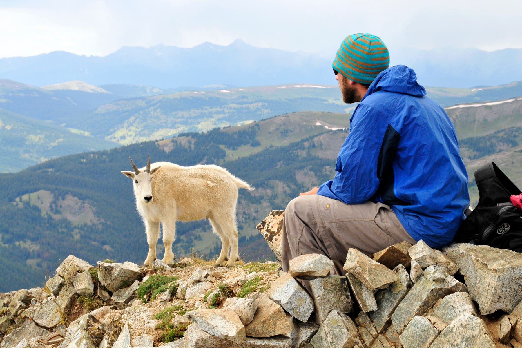
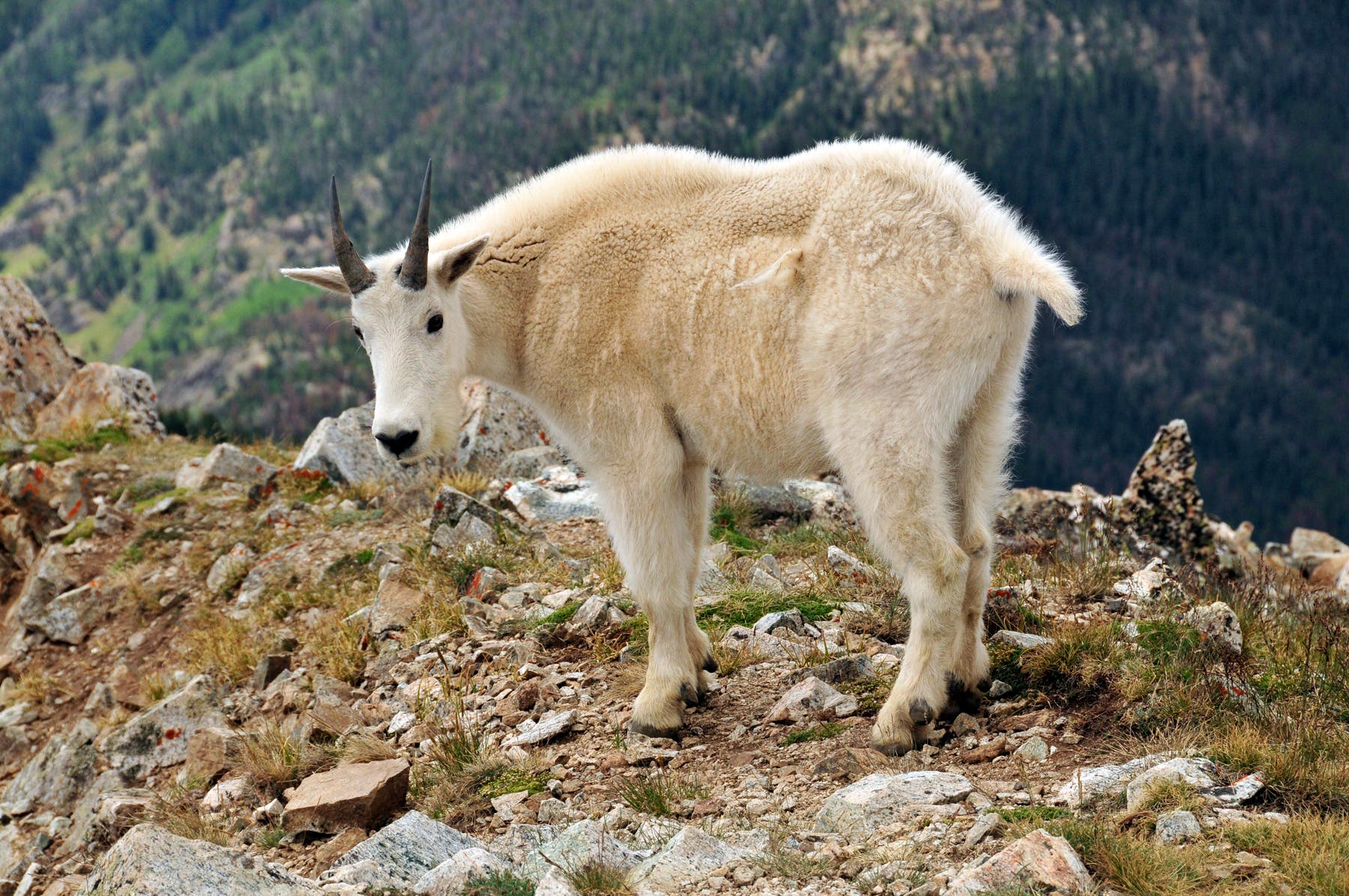
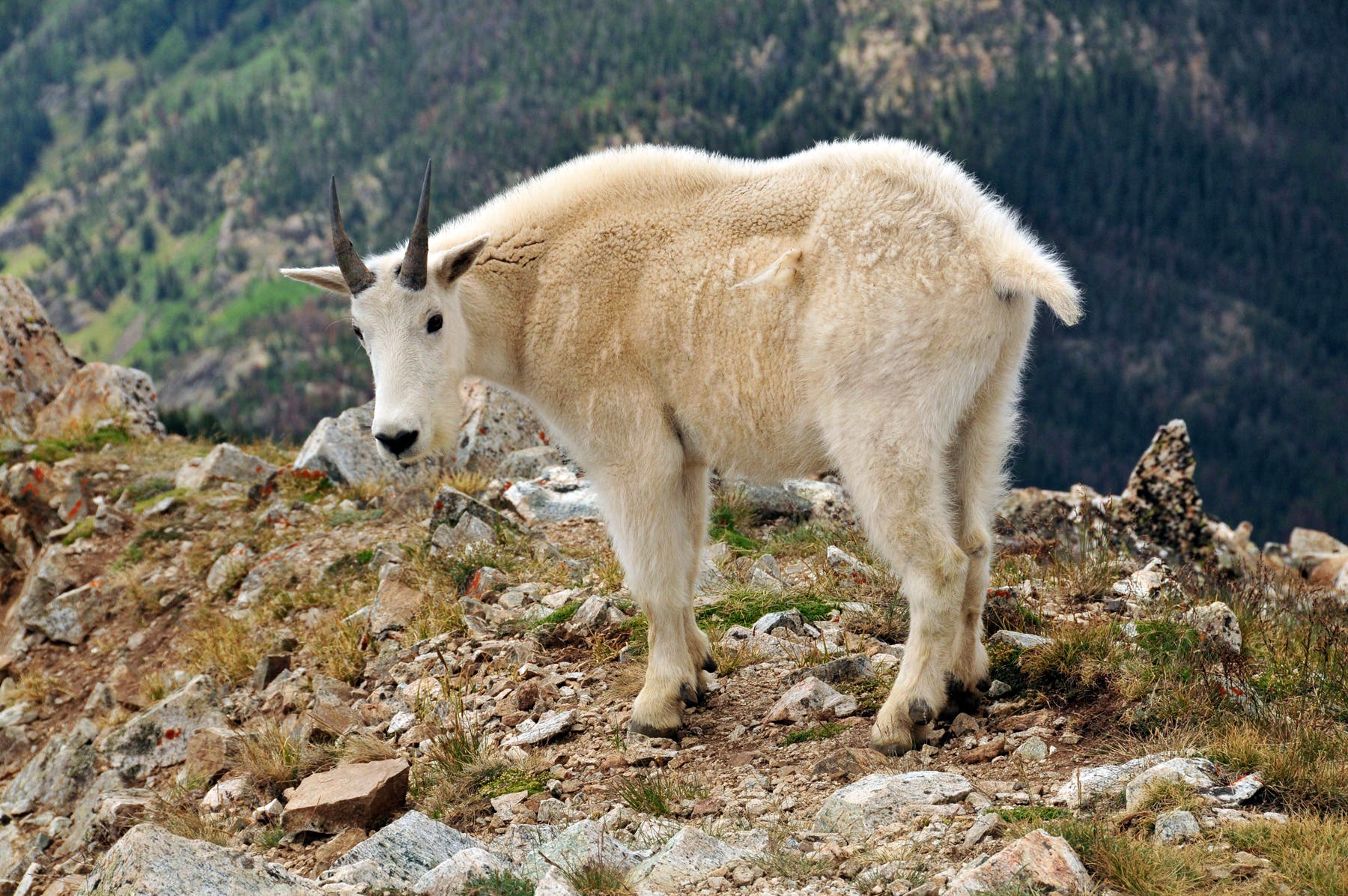
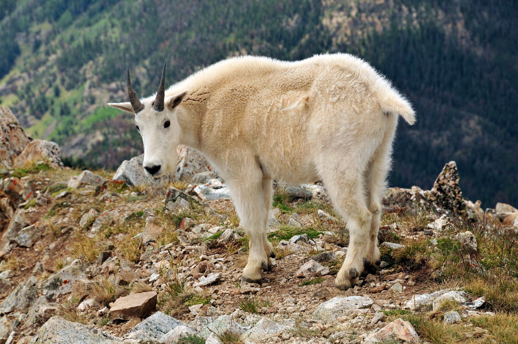
Watch your footing on the final 700-foot stretch to the 12,805-foot summit. You’ll encounter a non-technical scramble up loose scree and boulder-covered slopes. (Keep an eye out for falling rocks.) If the weather is good, spend some time on Peak 1’s rocky summit, which offers 360-degree views of Summit County and the surrounding peaks. You may spot friendly mountain goats hanging out near the top. Follow the same route back to the parking area.
-Mapped by Kim Phillips
Trail Facts
- Distance: 11.1
- Miles from Denver city center: 72
Waypoints
ONE001
Location: 39.569043, -106.099906
From the parking area at the end of the road, pick up the connector trail that leads 0.2 mile to the Mount Royal Trail.
ONE002
Location: 39.57083, -106.102867
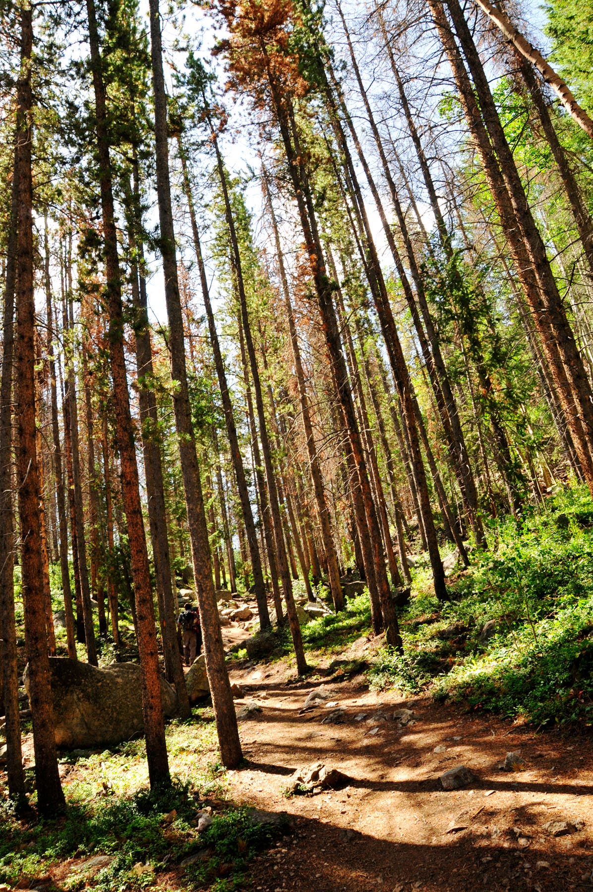
Turn hard left at the 3-way junction. The trail starts to climb through forest.
ONE003
Location: 39.567529, -106.101515
Continue straight at the 3-way junction, heading south.
ONE004
Location: 39.56514, -106.103318
Pass a tailings pile on the right. Continue heading southwest.
ONE005
Location: 39.565959, -106.104605
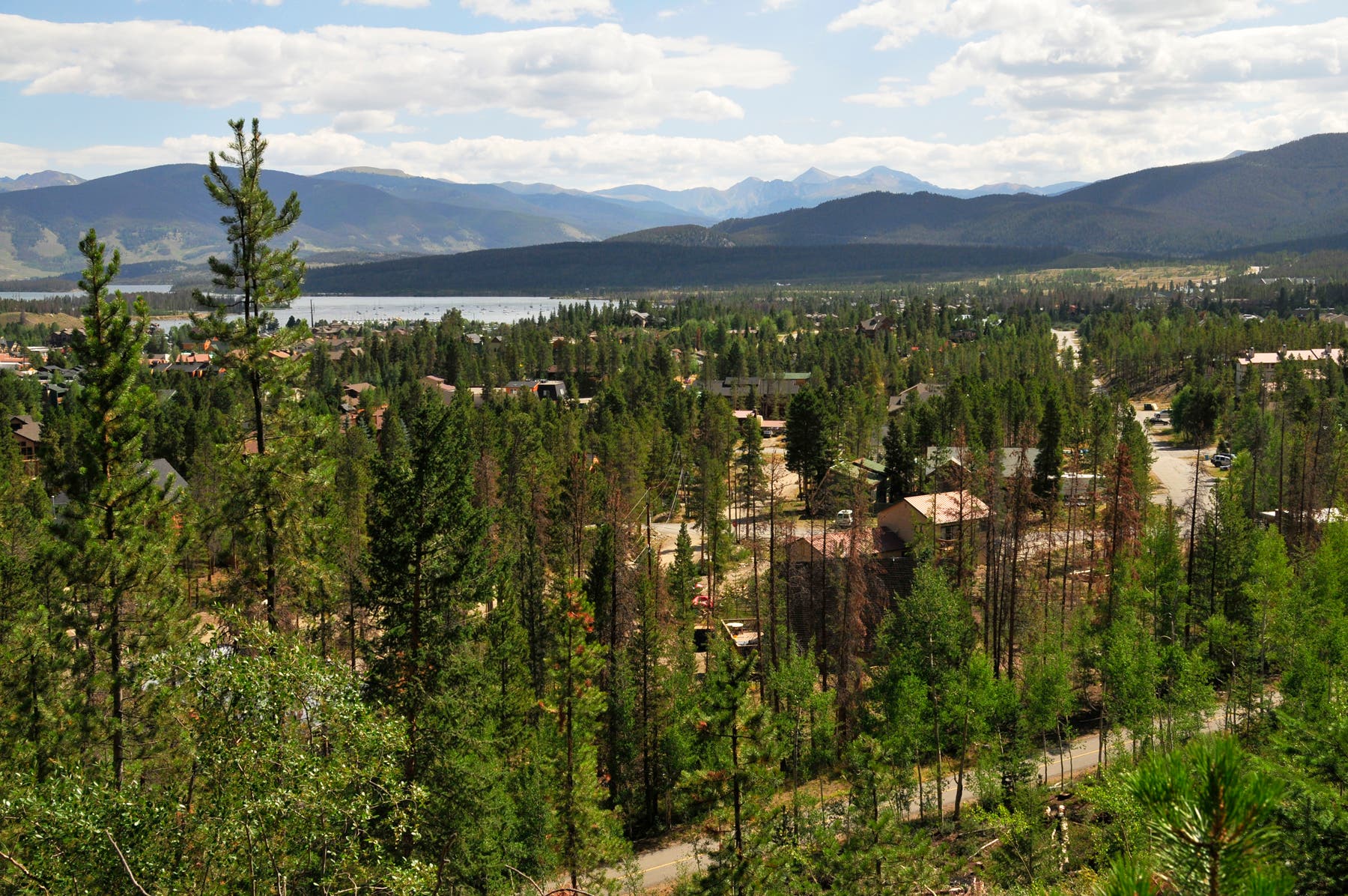
The gaps in the trees reveal views across Frisco. Ahead, the trail switchbacks to the left.
ONE006
Location: 39.564678, -106.109799
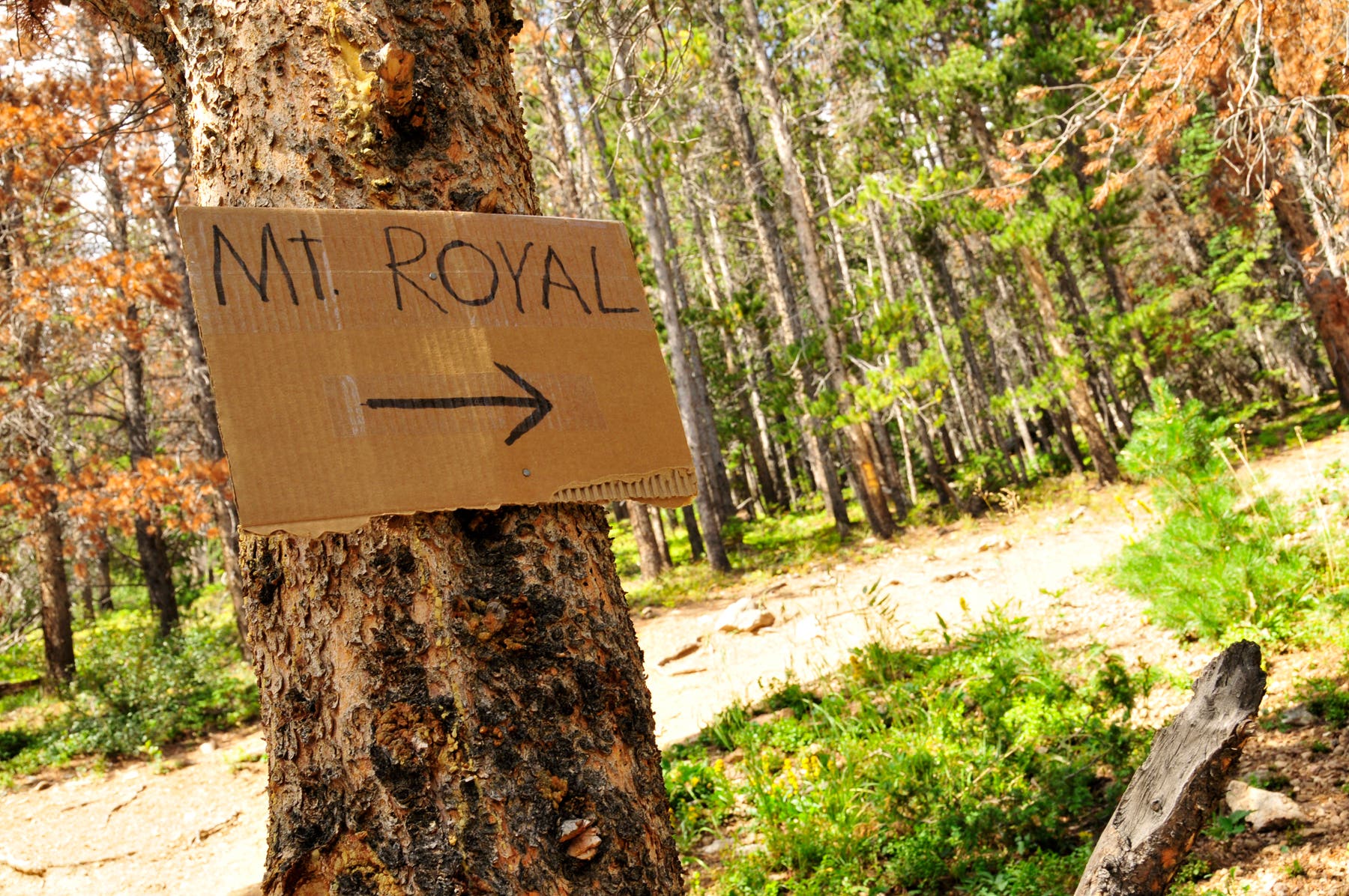
Continue straight at the 3-way junction. The trail to Mount Royal veers to the right.
ONE007
Location: 39.564404, -106.11145
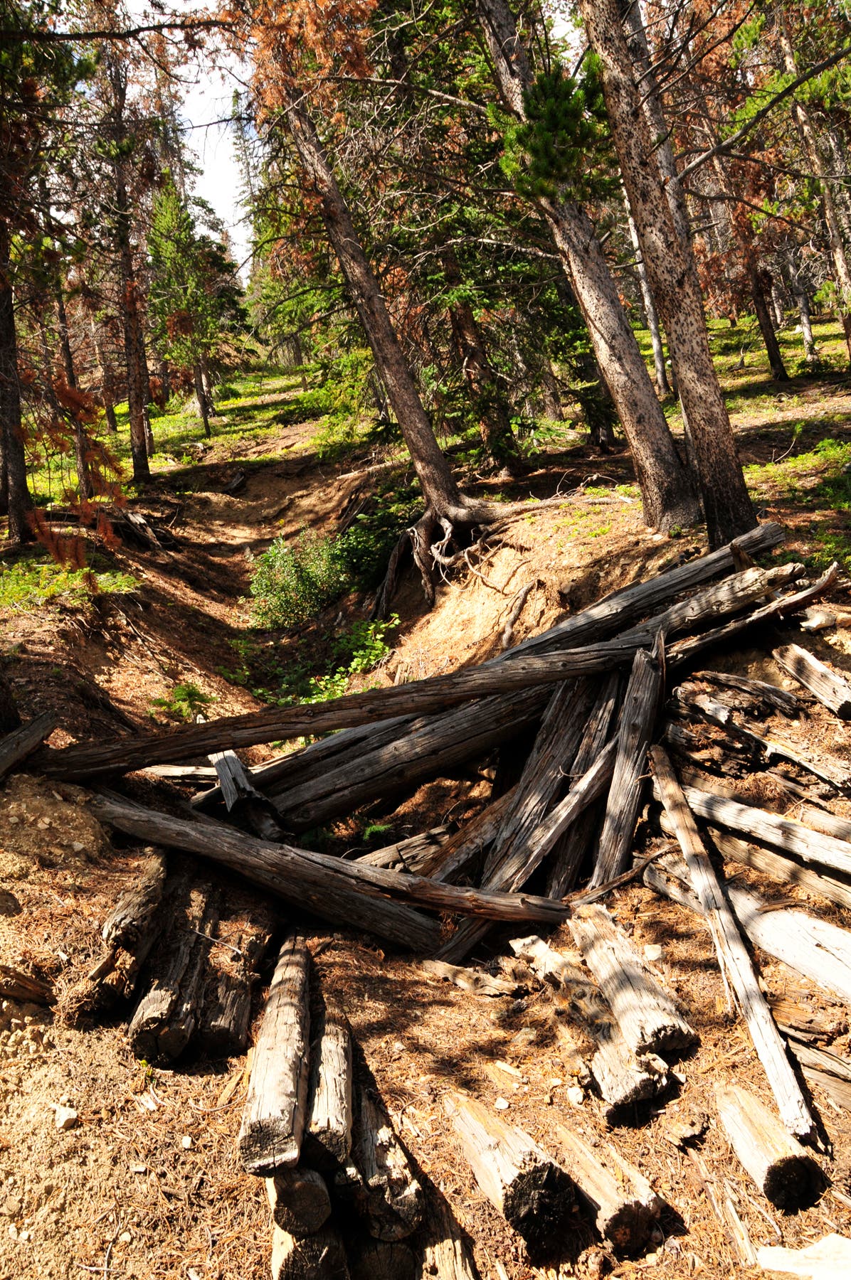
The trail passes old mines and miner’s cabins.
ONE008
Location: 39.564321, -106.112899
Turn left and climb south up the ridgeline.
ONE009
Location: 39.562758, -106.112963
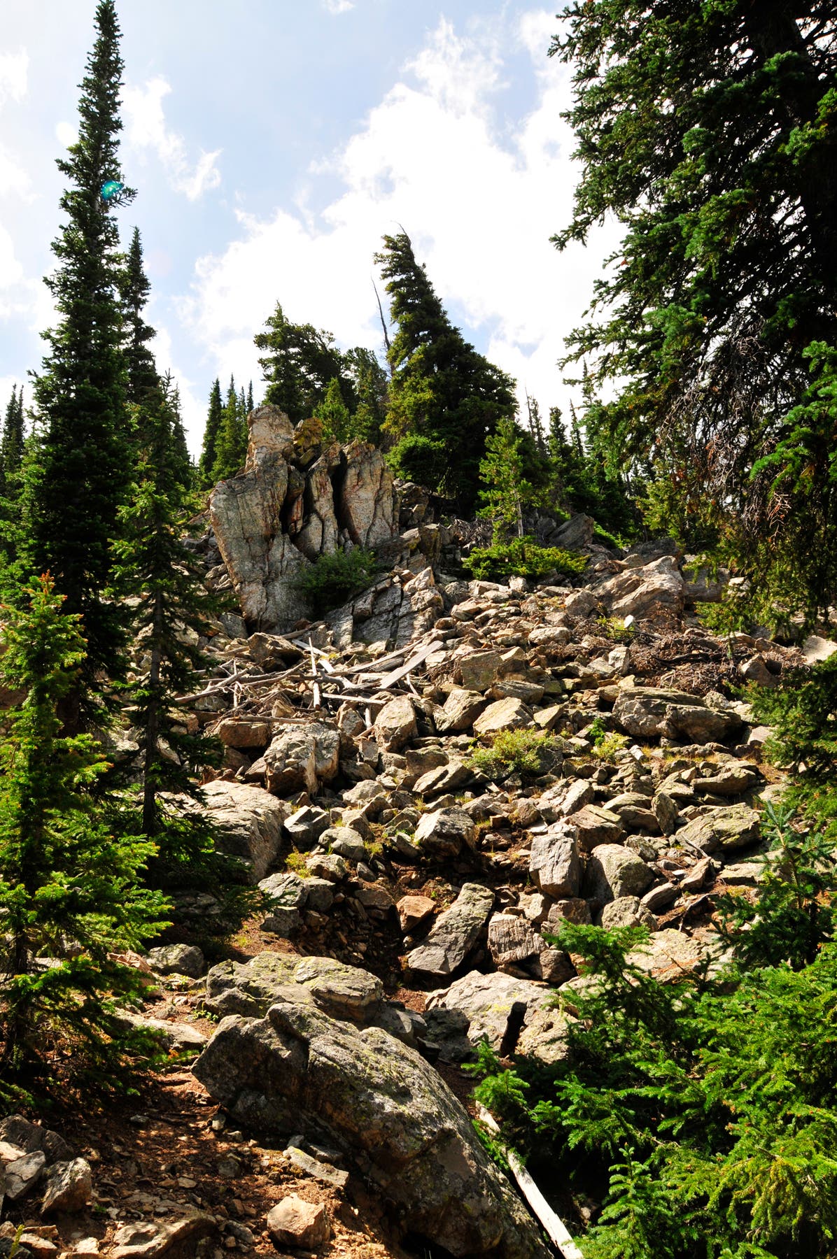
Climb past a boulder field.
ONE010
Location: 39.555859, -106.115527
Bear left and follow the ridgeline south. An old weather station sits on the hill to the right.
ONE011
Location: 39.548745, -106.117126
Traverse a saddle and continue south.
ONE012
Location: 39.54412, -106.119406
The final 700-foot stretch to the summit involves a non-technical scramble up scree- and boulder-covered slopes.
ONE013
Location: 39.54305, -106.119956
Peak 1 (12,805 ft.): This small, rocky summit offers 360-degree views of Summit County and the surrounding peaks. You may spot mountain goats hanging out near the top. Follow the same route back to the parking area.
Mountain Goat and Tenmile Peak
Location: 39.543051, -106.119903
Spur to Mount Royal Trail
Location: 39.570549, -106.102138
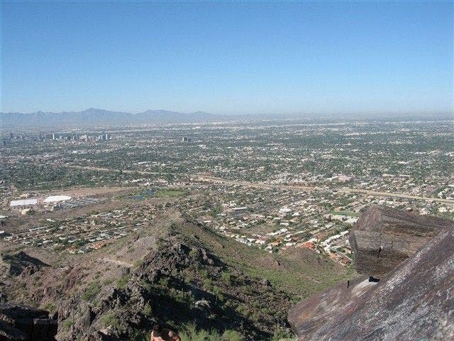
Views of Frisco, Colorado
Location: 39.570788, -106.102663
Pine Forest
Location: 39.567844, -106.101547
Trail to Mount Royal
Location: 39.564676, -106.109669
Mining Remnants
Location: 39.564395, -106.111332
Boulder Field
Location: 39.562766, -106.112845
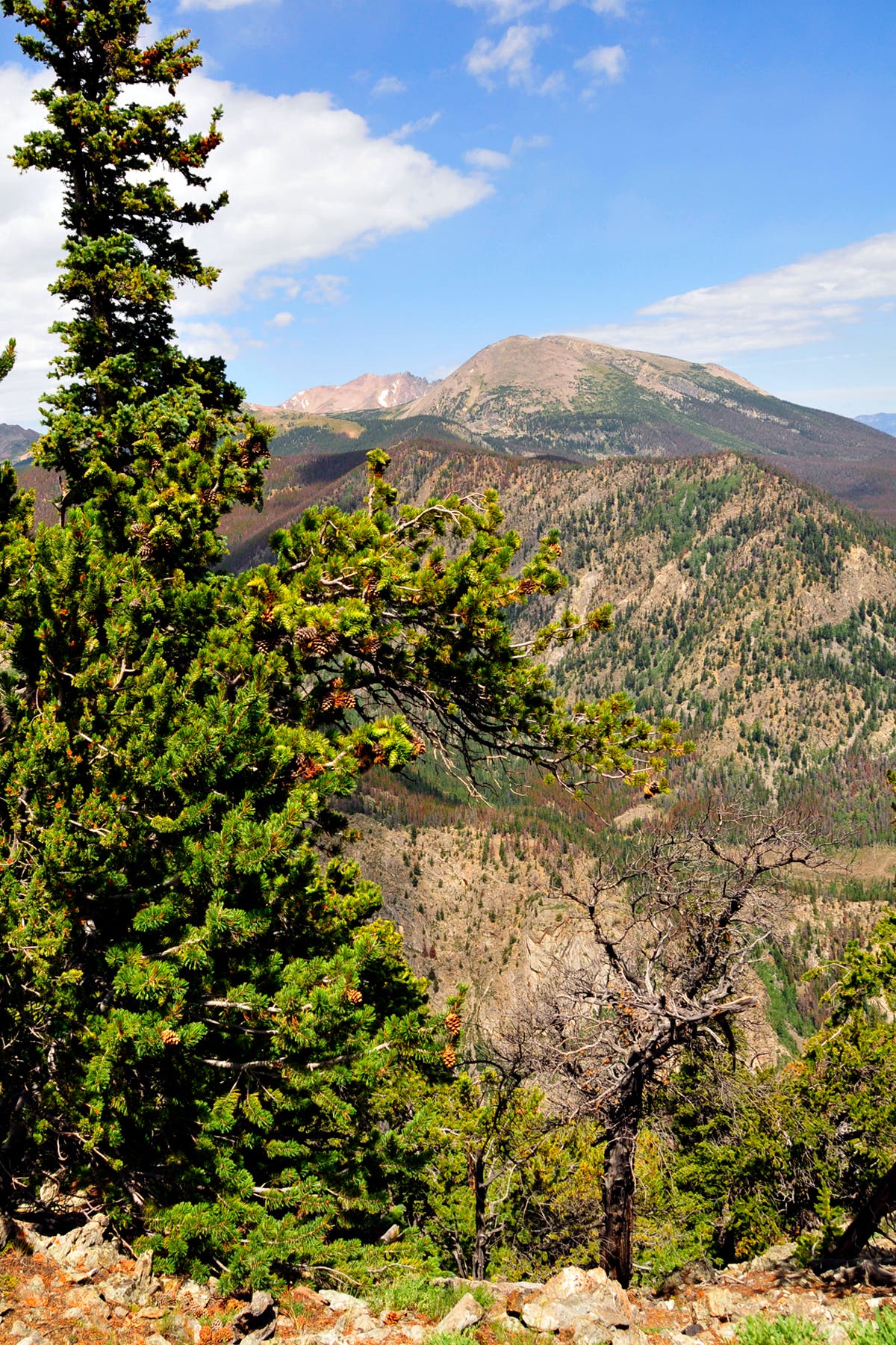
Views to the Northwest
Location: 39.561691, -106.113124
Trail to Peak 1
Location: 39.560567, -106.112764
Trail to Peak 1
Location: 39.557549, -106.114051
Views of Peak 1
Location: 39.556975, -106.114143
Above Treeline
Location: 39.556412, -106.1147
Weather Station
Location: 39.555867, -106.115409
Ridgeline
Location: 39.55456, -106.115608
Peak 1
Location: 39.5526, -106.11498
Mountain Goat on Peak 1
Location: 39.543051, -106.119903
Mountain Goat
Location: 39.543051, -106.119903
Mountain Goat
Location: 39.543058, -106.119874
Summit Views
Location: 39.543058, -106.119874
Mountain Goat
Location: 39.543099, -106.119478