Fire Island National Seashore, NY: Fire Island Lighthouse to Sailor's Haven

The west side of Fire Island National Seashore is an anomaly. Despite being full of bustling seasonal beach communities, the island is relatively primitive. A single pathway cuts between the bay and ocean sides, offering the only access to the western part of the peninsula. It is illegal to drive a car during the weekends here. After a single glance at the so-called road, most visitors would cringe and likely strap on a good pair of walking sandals anyway. The road turns from a mixture of rock and sand to multi-use path and then back to sand, connecting the Fire Island Lighthouse and Ocean Beach.
From here, visitors have to hoof it along the water toward the route’s turnaround point at the Sunken Forest. The beaches are remarkably sprawling and unpopulated during this stretch.
The private community of Point O’ Woods sits between the ocean and bay. After the rooftops disappear, it’s all protected lands. Turn left into the Sunken Forest and explore shady maritime woodlands full of bushes and small quagmires. The boardwalk path goes north toward the inlet, offering views of Great South Bay. The route turns back toward the ocean at Sailor’s Haven Visitor Center, where the ferry shuttles guests to and from neighboring Long Island. Retrace steps back to the start.
-mapped by MacKenzie Ryan
Editor’s Note: Visitors should consider bringing mountain bikes on this long route for its stretches along the multi-use path. Lock up the bikes in Ocean Beach and then walk to and from the Sunken Forest.
From NYC: Take I-495 East to exit 31 South for the Cross Island Parkway toward Grand Central Parkway. Merge onto Cross Island Parkway. At 4.6 miles, take exit 25A to merge onto Southern State Parkway East. At 25 miles, take exit 40 for Robert Moses Causeway. Continue straight for 7.8 miles. At the traffic circle, take the 2nd exit onto Robert Moses State Parkway. Continue to parking lot on left.
Trail Facts
- Distance: 28.2
Waypoints
KPL001
Location: 47.401093, -121.392977
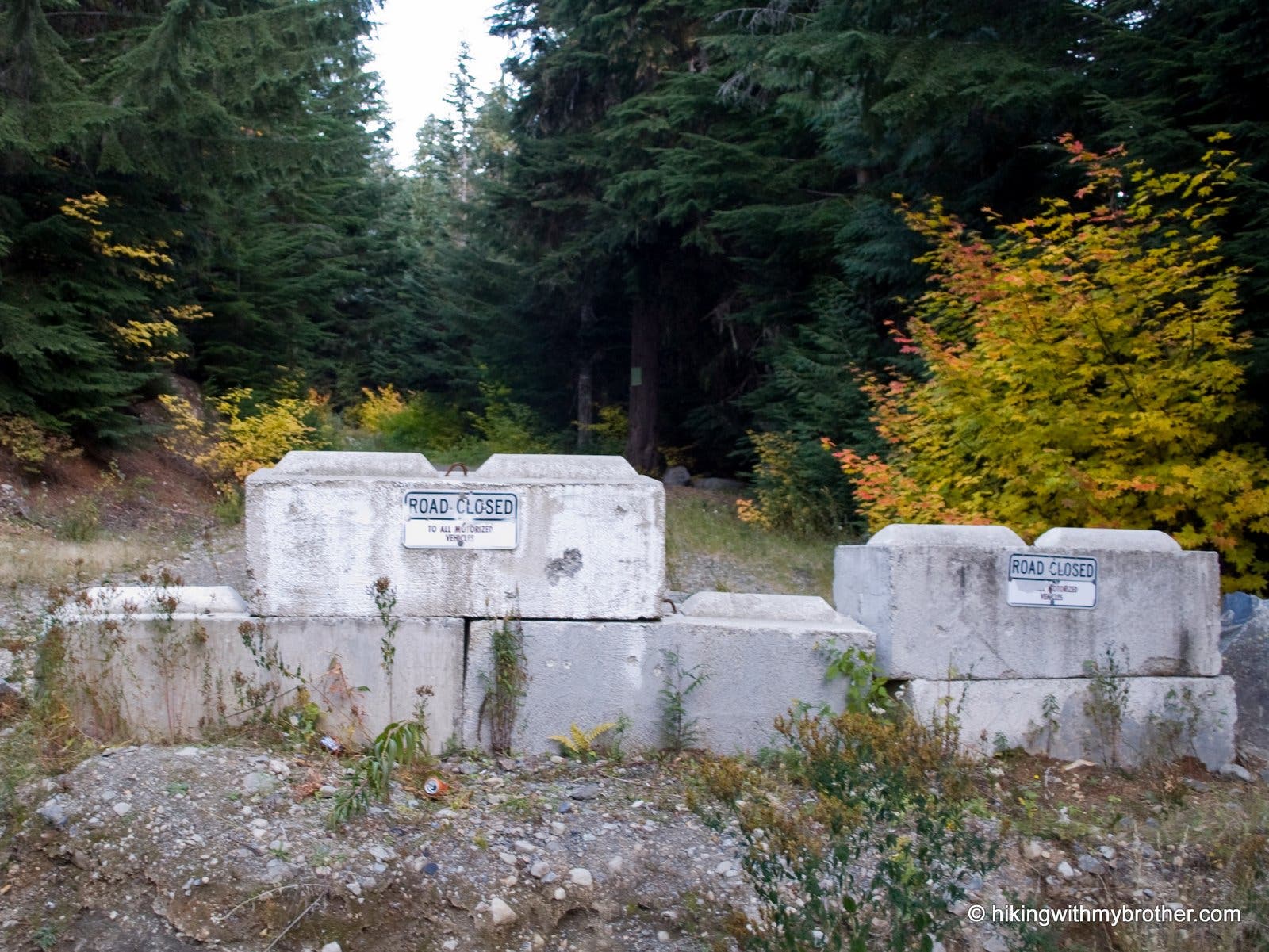
Park at road closure point of Forest Road 9090. Start up the road.
Road Closure
Location: 47.401196, -121.392789
The trail starts out at the road closure
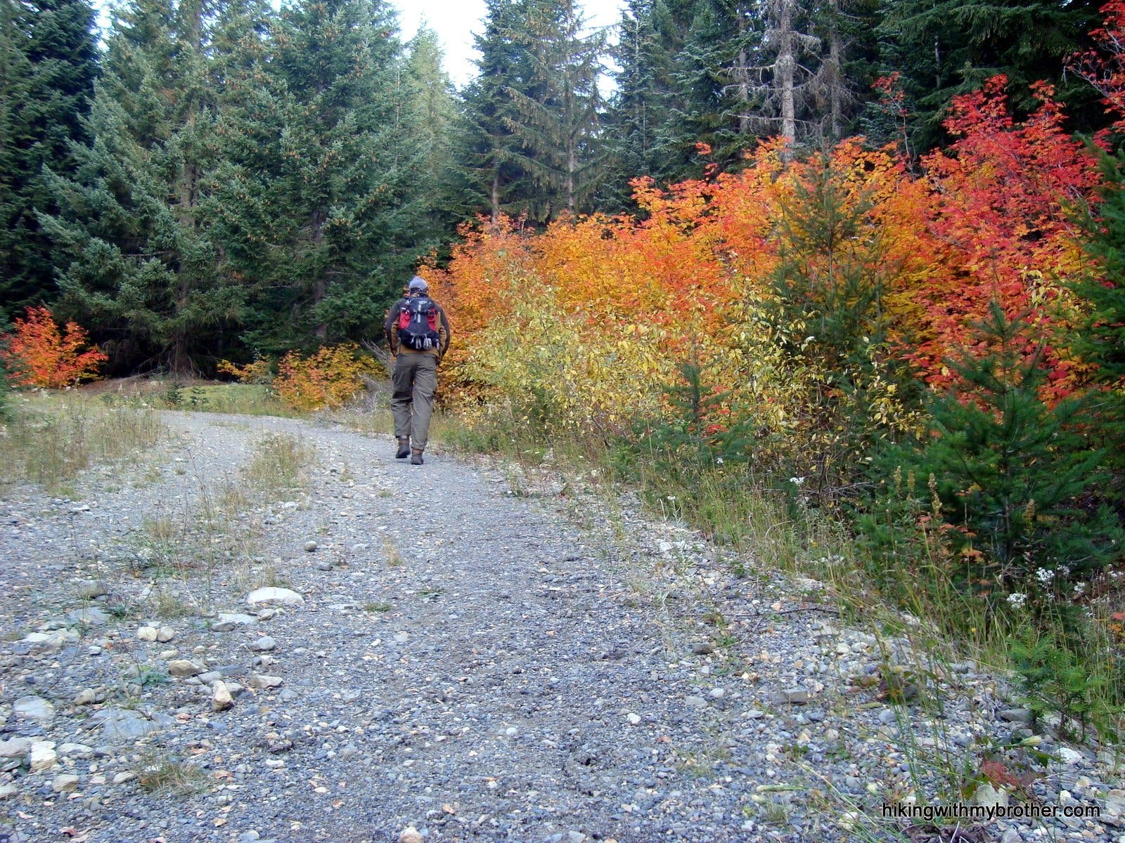
On the road
Location: 47.405379, -121.393518
Hiking up road 9090. Vine maple in autumn colors
KPL002
Location: 47.412973, -121.397499
Road junction. Turn right and continue up 9090
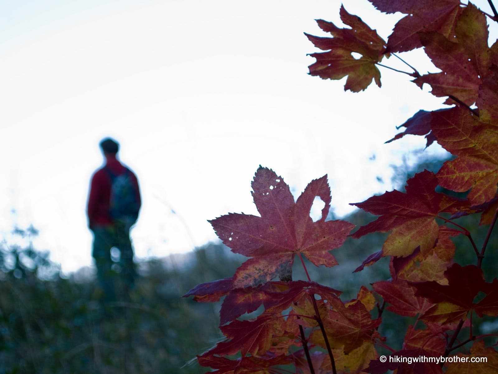
Hiker and vine
Location: 47.417722, -121.395879
Hiker on ledge of road.
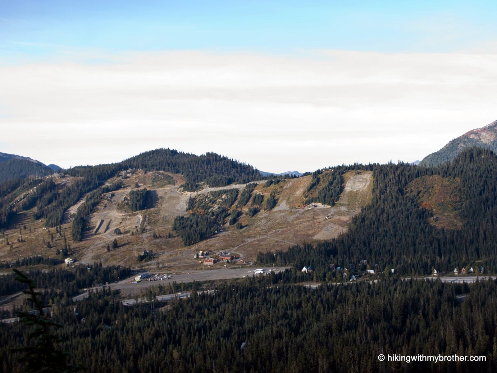
Summit at Snoqualmie
Location: 47.421583, -121.392403
Looking down at the Snoqualmie Ski resort
KPL003
Location: 47.422194, -121.387646
Road junction. Turn Left and follow the road.
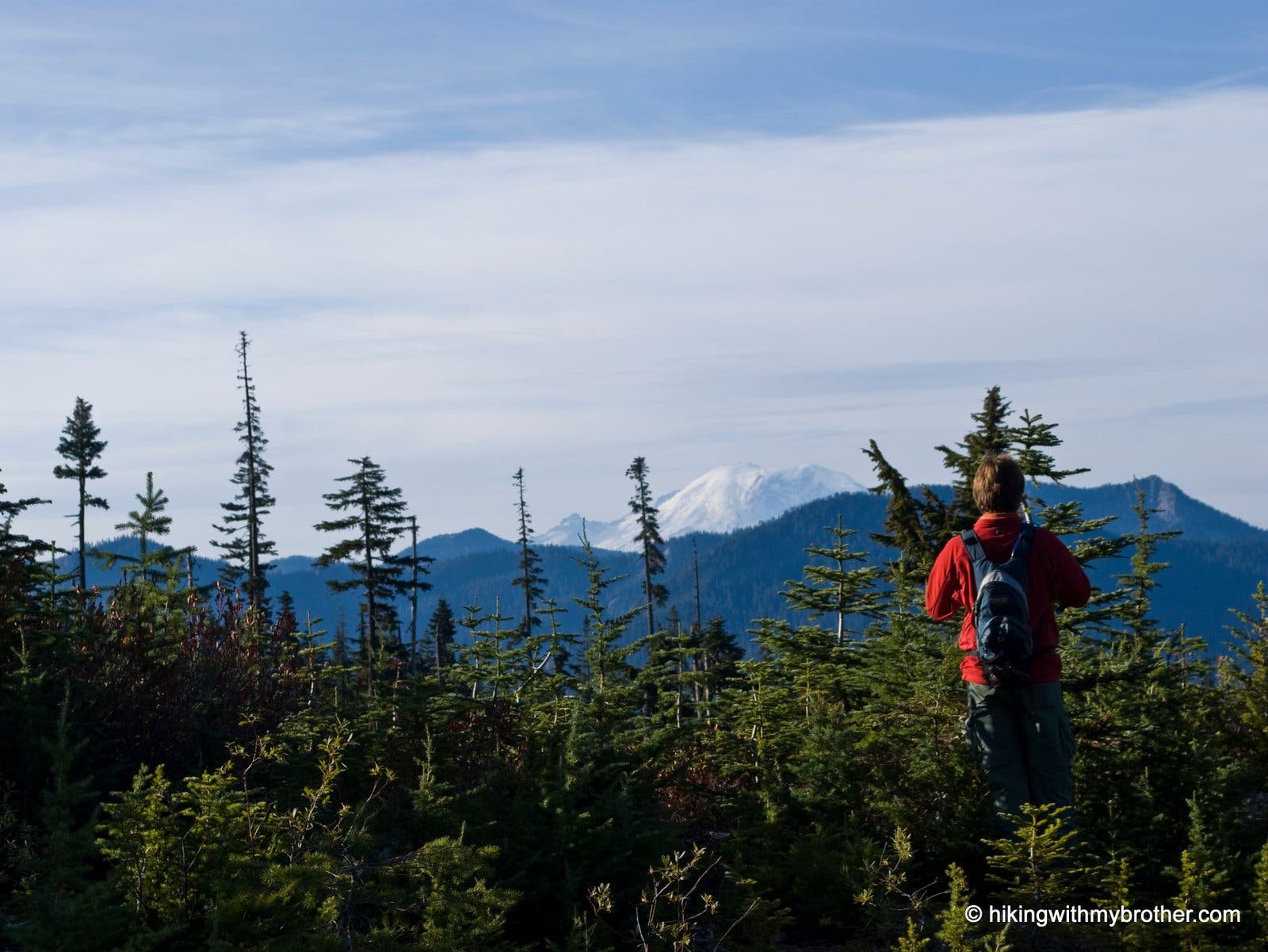
Rainer
Location: 47.427652, -121.383734
Young Douglas fir, a hiker, and Rainer in the background
KPL004
Location: 47.427489, -121.382801
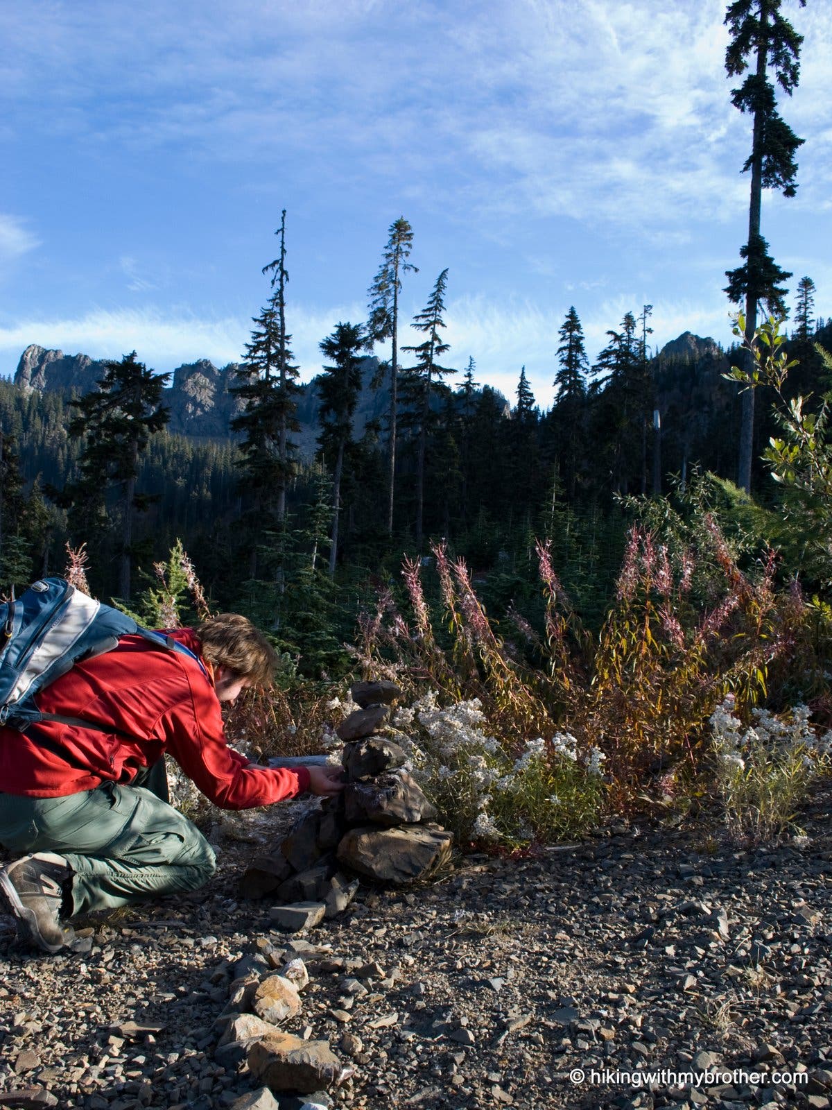
Turn left off the road onto a trail. The trail is unsigned, so keep an eye out for a rock cairn.
Rock Cairn
Location: 47.427478, -121.381674
Cairn marks the turn to the lake
KPL005
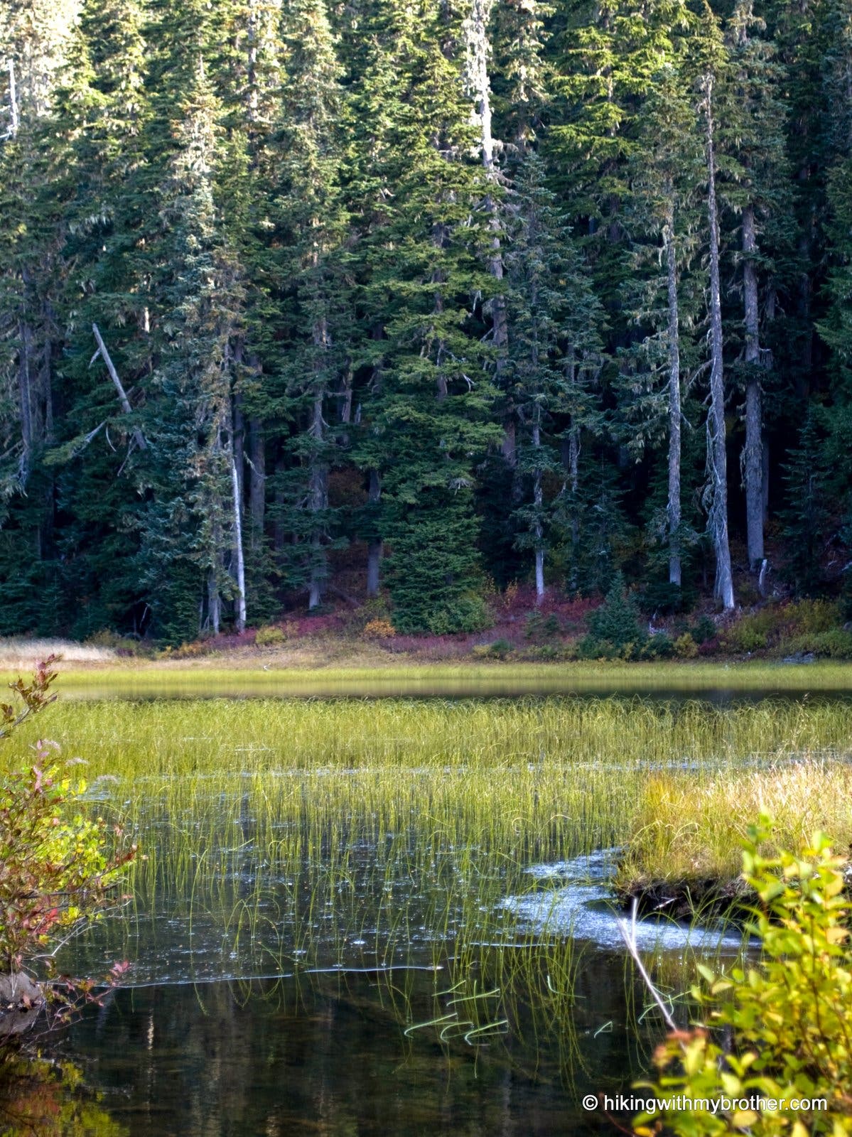
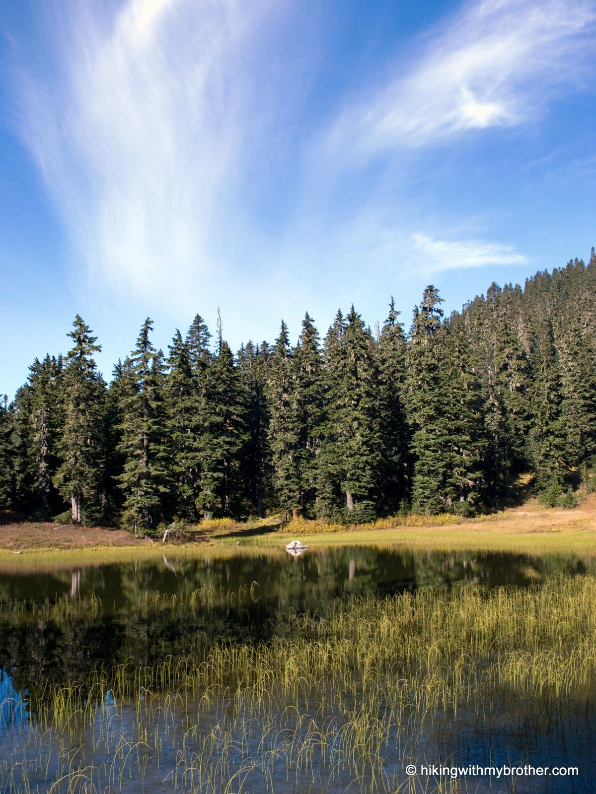
Location: 47.429415, -121.382409
Shore of Kendall Pond. Marshy and shallow, the pond reflects the peaks above.
Cold Creek
Location: 47.429365, -121.381803
Ice starting to form at the mouth of Cold Creek.
Kendall Pond
Location: 47.429713, -121.381373
Lower Kendall Peak Lake
Location: 47.432036, -121.380944
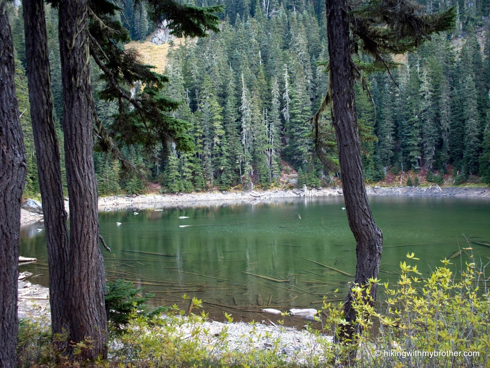
Through the trees, lower kendall peak lake emerges
KPL006
Location: 47.432007, -121.380601
Lower Kendall Peak Lake.
KPL007
Location: 47.431555, -121.379519
Moss covered boulders mark the location of a steep and obscure boot path that leads to the final lake.
Final Push
Location: 47.432123, -121.37794
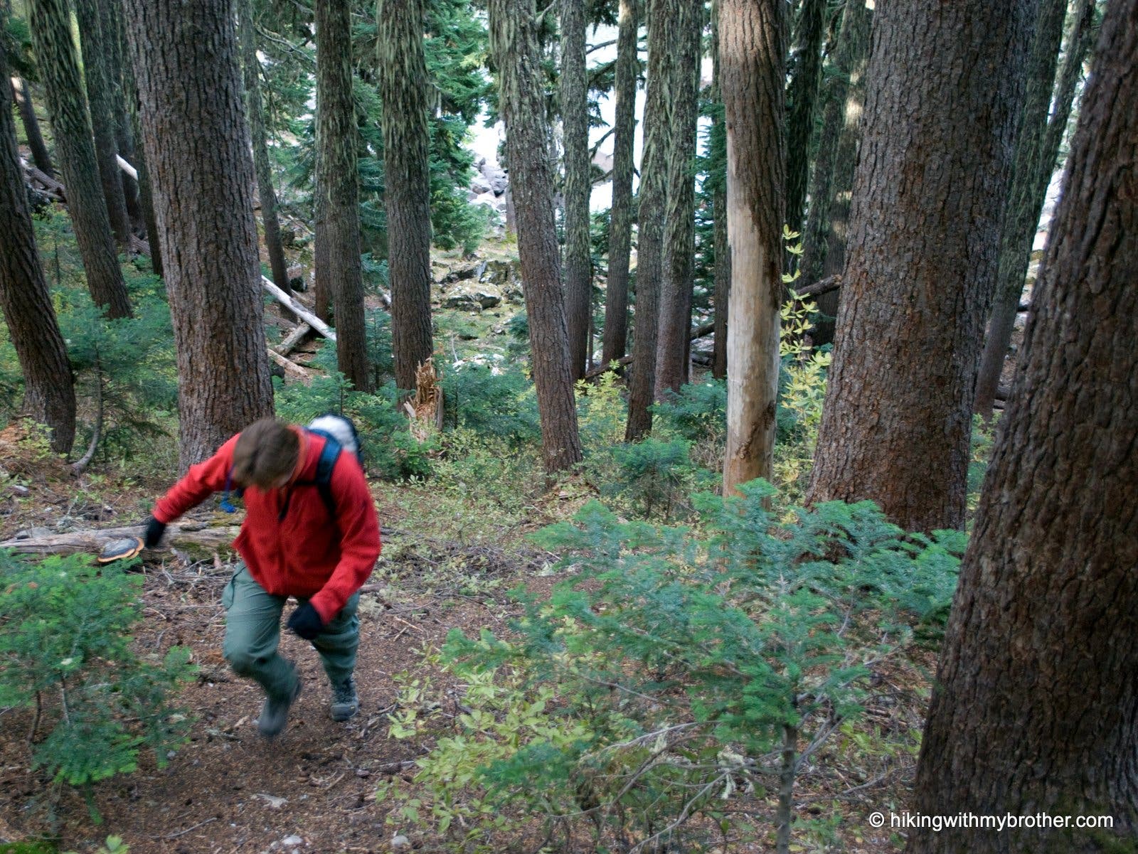
The final push to the upper lake is both short and brutal.
KPL008
Location: 47.432645, -121.3772
Upper Kendall Lake.
Above Lake
Location: 47.432769, -121.37727
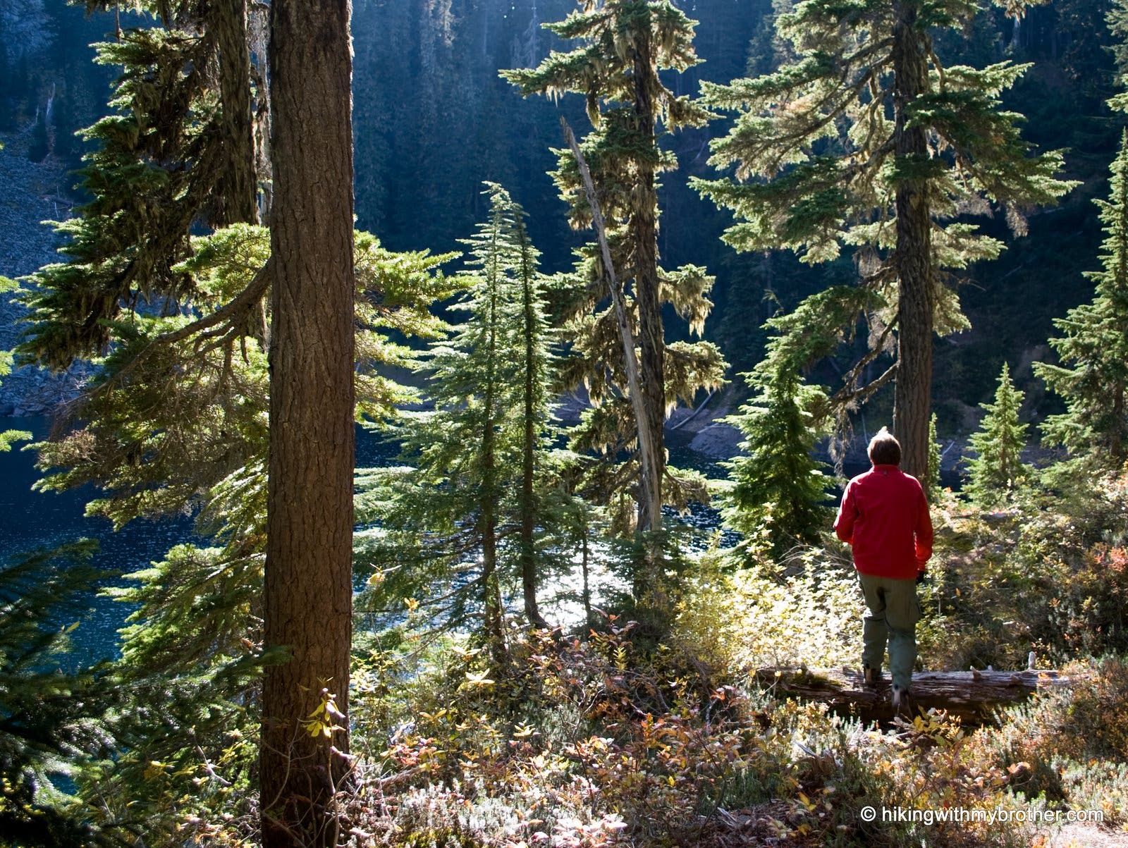
Hiker above the upper lake
Upper Lake
Location: 47.432772, -121.377221
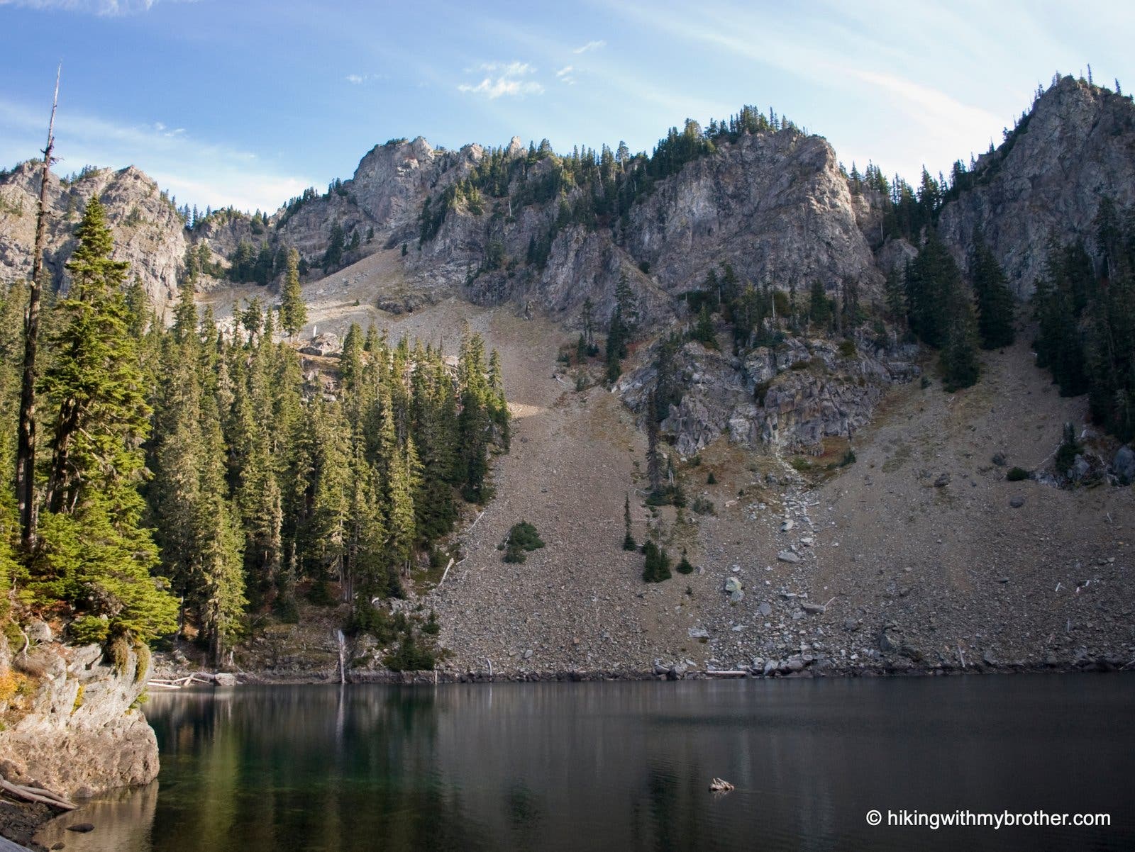
The deep blue waters of the final lake lay directly below Kendal Peak.