Find True Solitude on These 12 Perfect Hikes

'Mike Cavaroc / Alamy Stock Photo'
We talk about solitude like its last bastions are disappearing. But there’s a place where isolation still rules and evidence of the last travelers is erased before the next ones arrive. You just have to head west to the vast wilds held by the Bureau of Land Management. There are few permits, fewer fees, and next to no people. It’s all the solitude you can handle—and sometimes just a little more.
Desert Symphony
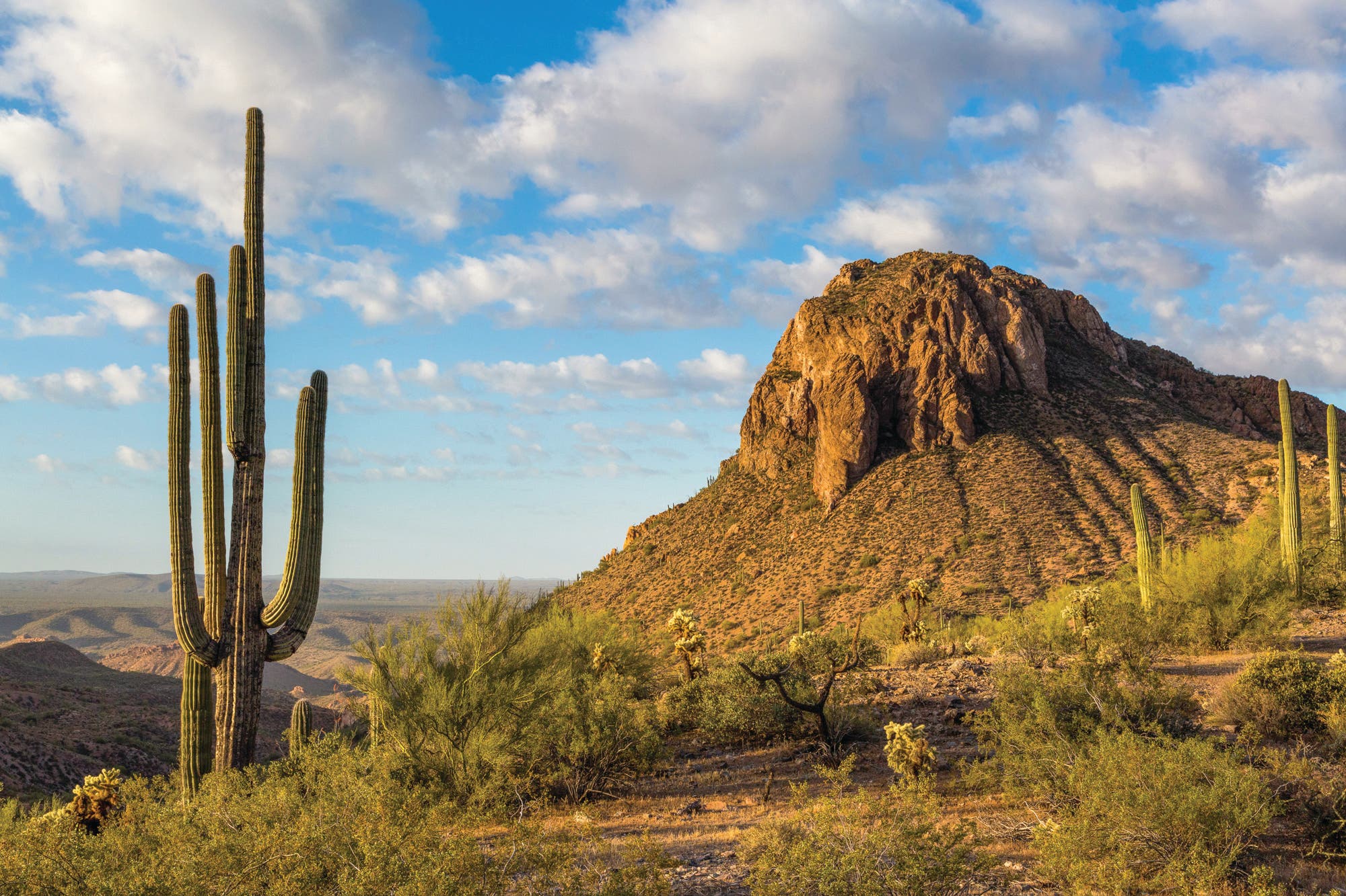
Tortilla Mountains, Arizona Trail, Pinal County, AZ
For 800 miles, the Arizona Trail charges across its namesake, serving up equal parts desert glory and mountain grandeur. Within that, the BLM manages 45 lonely, dust-caked miles just east of Phoenix that pack in all the splendor but none of the crowds. And, according to the trailhead register, there’s an average of just five visitors a day. Echo-o-o-o-o-o-o!
This segment is invariably dry, so save yourself the hassle of caching water and tick off an 18.6-mile out-and-back from the Florence-Kelvin trailhead, spending a night in the Tortillas. Start at the Gila River and speed south past brittlebushes and saguaros—some as tall as 40 feet—into the 4,000-foot range. The going is easy, but slow down to see the Spring Mountains rise out of the heat waves like a mirage to the north and the Sonoran Desert spread out to the south. Make camp above a wash near mile 9.3 and keep an eye out for desert A-listers like Gila monsters, desert tortoises, and javelinas.
Distance 18.6 miles (out and back) Time 2 days Elevation change +2,600 feet, -1,600 feet (one way) Trailhead Florence-Kelvin (33.1023, -110.9749) Season September to May Permit None
Center of Life
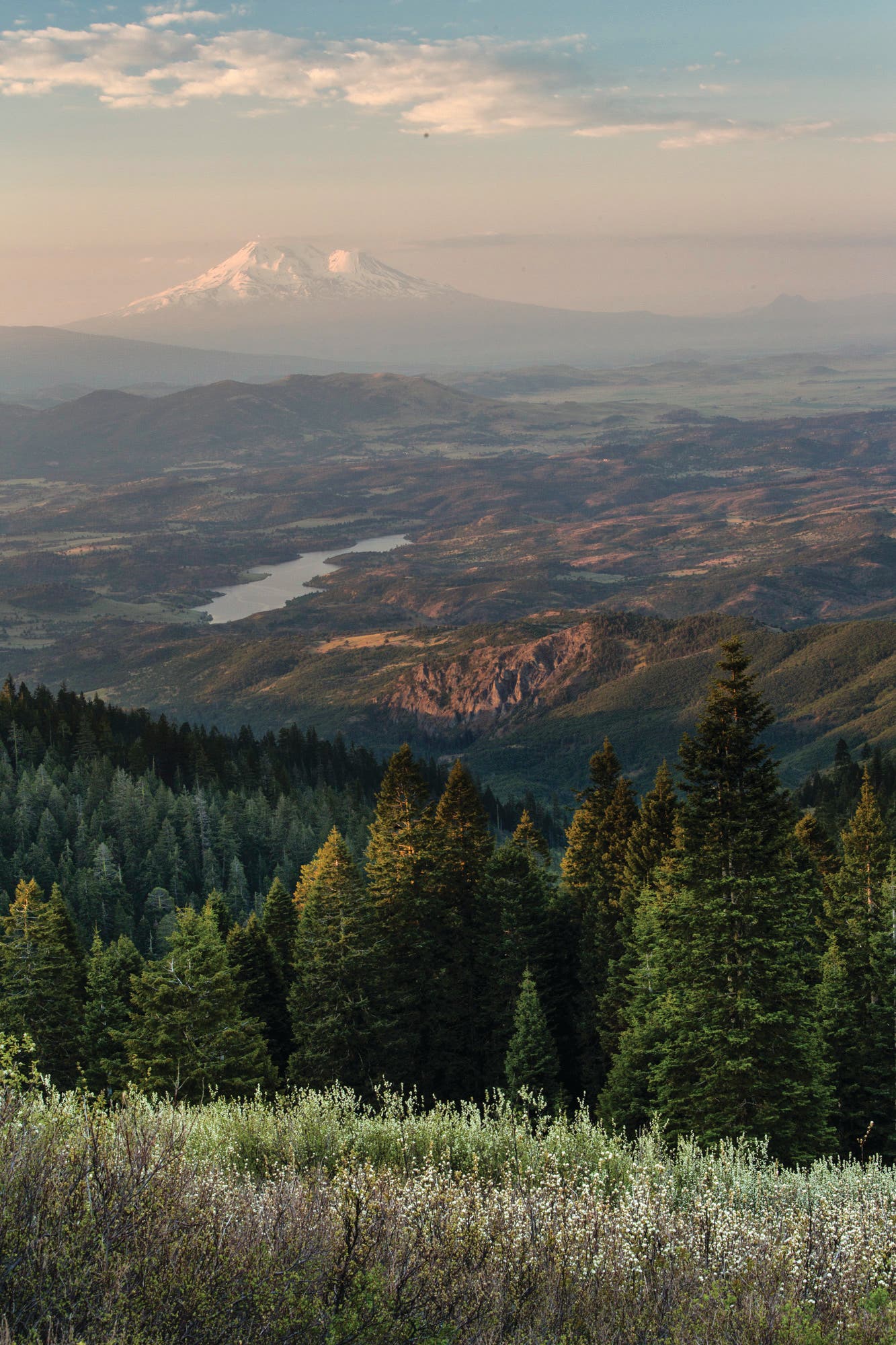
Old Highway 99 to Dead Indian Memorial Road, Pacific Crest Trail, Cascade-Siskiyou National Monument, OR
Sitting at the nexus of three mountain ranges—the Cascade, Klamath, Siskiyou—this national monument gets its best stuff from three distinct eco-regions. You’ll find a little bit of everything here: Fir and oak forests mix with grasslands, mountain streams mingle with desert canyons, and elk and black bears share space with mountain lions and alligator lizards. Hiking here is like moving between dioramas at a museum.
Up until two years ago, 19 miles of the Pacific Crest Trail passed through this biodiversity hot spot. Now, 43 miles of the PCT run through the expanded borders, serving as the best avenue to see it all. Take a few days to tick off the full segment, making sure to spend a night in the phlox-filled meadow below 6,089-foot Soda Mountain (mile 11, if going north). Note: Water is rare on this stretch of the PCT.
Distance 43 miles (point to point) Time 3+ days Elevation change +6,500 feet, -5,500 feet Trailhead Old Highway 99 (42.0583, -122.6024) Shuttle car Pederson trailhead on Dead Indian Memorial Rd. (42.2934, -122.2717) Season May to October Permit None
Slot Squeeze
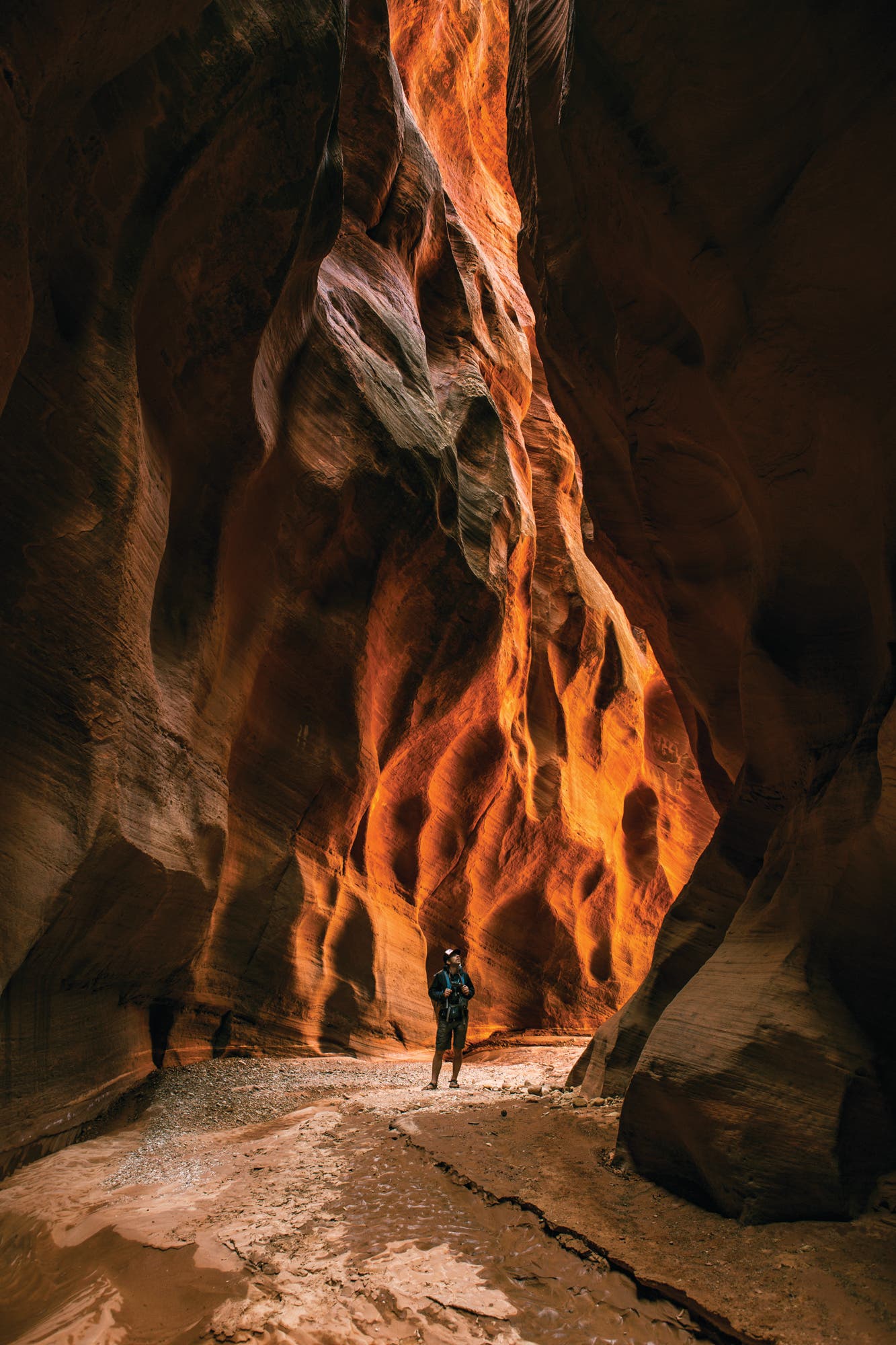
Paria Canyon, Paria Canyon-Vermilion Cliffs Wilderness Area, UT/AZ
Slip between narrow Navajo sandstone walls, splash in the Paria’s pale-jade waters, find ancient rock art, and blow your mind in some of the Southwest’s most colorful cathedrals on this canyon-country classic. True, you may encounter other hikers on this life-lister, but the BLM does a good job maintaining the quiet with a quota system: Just 20 overnight permits are available each day, and they’re relatively easy to snag a few months in advance. Go for the 38-mile point-to-point from White House, Utah, to Lees Ferry, Arizona, budgeting an extra day to explore the gut-sucking slots of Buckskin Gulch about 8 miles in. This is the sort of trip where each campsite may seem better than the last—a beach! a swimming hole! cottonwood trees!—but do yourself a favor and spend a night at Big Spring (mile 12), where you get all three. Plus a spring.
Distance 38 miles (point to point) Time 4 days Elevation change +2,000 feet, -3,100 feet Trailhead White House, UT (37.0798, -111.8903) Shuttle car Lees Ferry, AZ (36.8671, -111.5954) Permit Required ($6/person); apply online and pick up at the Paria BLM station. Season March to November, but beware flash floods during runoff (March to May) and monsoon season (July to August). Check with rangers before heading out.
Higher Order
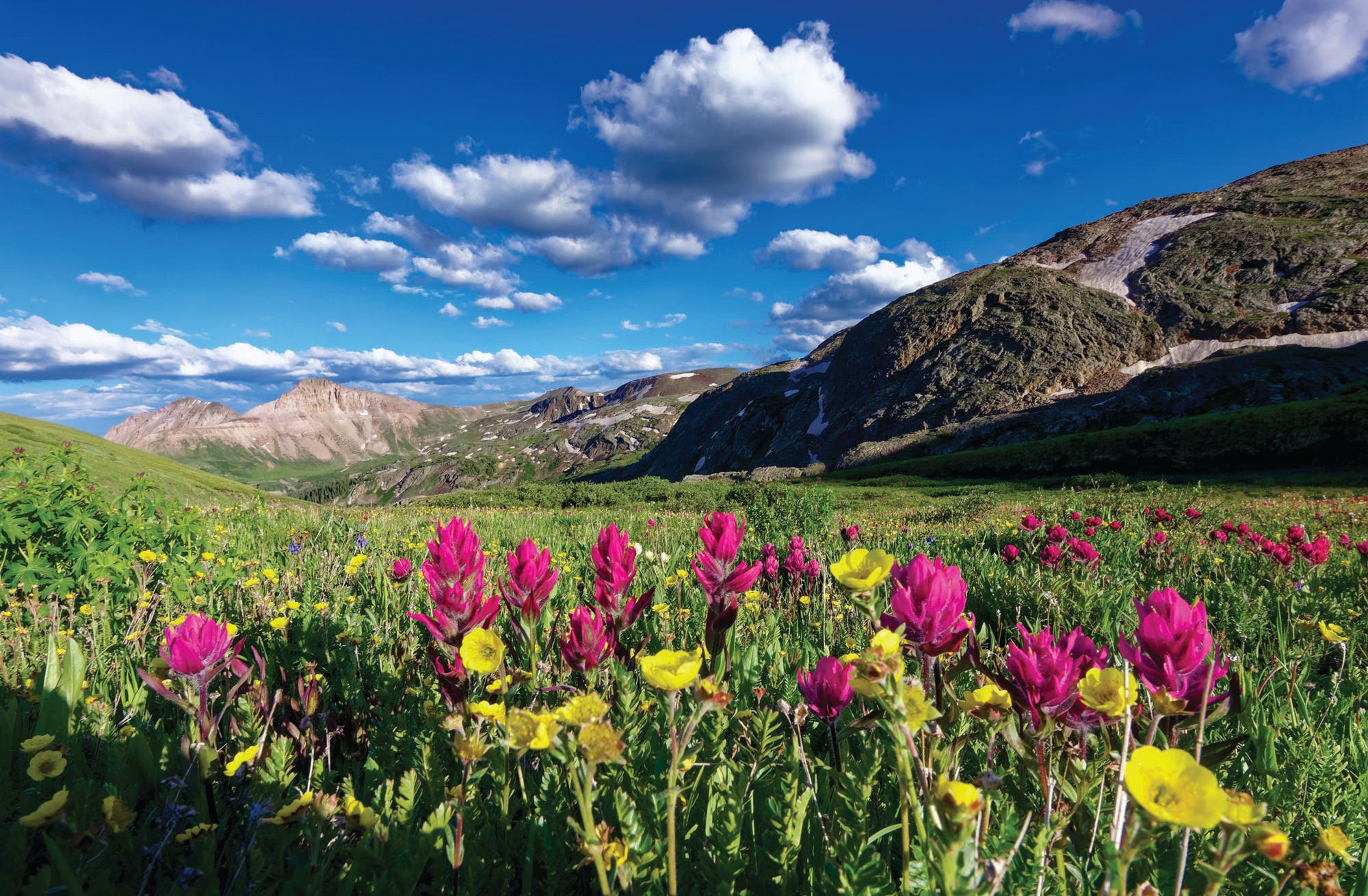
Silverton Summit Extravaganza, San Juan County, CO
Even in a state known for its wealth of mountains, the San Juans set themselves apart as the wildest, craggiest, and loneliest of the lot. In fact, locals even dismiss the suggestion that the range should be protected as a national park because that might bring traffic. As it stands, the San Juans are their own best defenders of quiet: They are a day’s drive from Denver and high enough to keep casual hikers at bay.
Within the 150-mile-long range, the BLM manages a small-but-majestic parcel of air-starved peaks just north of the Weminuche Wilderness boundary. Here, alpine tundra, exposed ridgelines, and 13,000-foot peaks are as common as the summer-perfect raspberries that burst from the drainages. The caveat? There’s no official trail system. But think of it this way: no trails, no people.
For a grand tour of the neighborhood, try a cross-country route above Silverton. In 11 miles, link four basins as you thread together Kendall Peak, Round Mountain, and Hazelton Mountain. (Navigation is relatively easy above treeline, and it’s never harder than class 3 scrambling, but only attempt if you’re savvy with a map and compass and reading the weather.) From Spencer Basin, pick up an old mining path as it climbs 2 miles alongside Mountaineer Creek to a high meadow, where marigolds and black-tipped ragworts paint the grass yellow in late summer. Climb over the pass to the northwest (colloquially called Pass 12,900) and stay high: Instead of dropping to Silver Lake, track west across scree to the saddle at the head of Arrastra Basin (Pass 12,920) near mile 3. From there, it’s an easy 1-mile out-and-back to bag 13,451-foot Kendall Peak, a crow’s nest from which the rest of the San Juans look like whitecaps on a choppy sea.
Back at Pass 12,920, circle high above Arrastra Basin on another old mining trail to a saddle above Woodchuck Basin at mile 5.3. Bag 12,912-foot Round Mountain on a quick detour, then pick a path across grassy ramps into the glacier-gouged bowl, dotted with columbine, paintbrush, and lousewort in late summer. (Find a low-impact spot to throw down near mile 6.2.) Next day, trek northwest out of Woodchuck Basin, where 12,527-foot Hazelton Mountain is an easy take on a .8-mile out-and-back. Drop into Blair Gulch and follow the creek to County Road 20, near mile 9 overall. Take it 2 miles to your shuttle car.
Distance 11 miles (point to point) Time 2 days Elevation change +4,300 feet, -5,700 feet Trailhead Spencer Basin (37.7825, -107.5801); high-clearance, four-wheel-drive vehicle required, but you can park 2 miles farther back if needed. Shuttle car County Road 20 (37.8163, -107.6497); as high as your vehicle can get. Season Mid-July to October Permit None
History in the Making
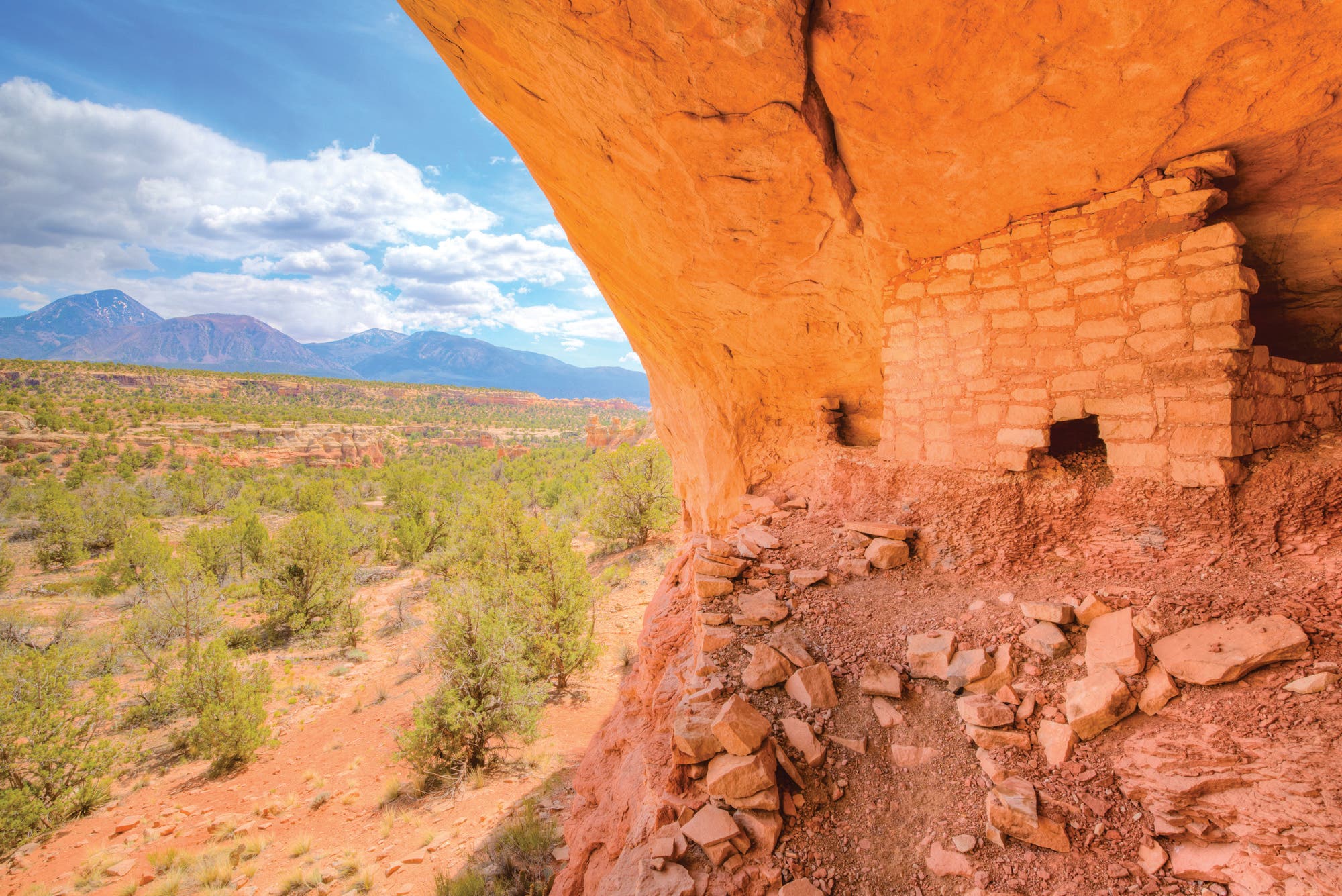
Sand Canyon, Canyons of the Ancients National Monument, CO
This area used to be a crowd magnet, but it’s been 700 years since people congregated here. Today, Canyons of the Ancients boasts the highest density of known archaeological sites in the country, with more than 6,355 villages, homes, reservoirs, kivas, cliff dwellings, shrines, and other Ancestral Puebloan artifacts. Tucked in the far southwestern part of the state, the national monument may be the Colorado Plateau’s most underrated wild place.
Trails are sparse and camping is prohibited, but the 12-mile out-and-back through Sand Canyon packs more solitude and scenery into a dayhike than many standard-issue trails deliver in a week. From the Sand Canyon trailhead, find 10,000-year-old Puebloan sites within the first mile. Continue across slickrock and past juniper to mile 4.5, where the trail leaves the canyon and climbs 700 feet in less than .5 mile by way of 30-plus switchbacks. At the top, explore the Sand Canyon Pueblo, a once-bustling, 13th-century community and one of the monument’s largest ruins (leave it as you found it). Retrace your steps.
Distance 12 miles (out and back) Time 1 day Elevation change +2,300 feet, -900 feet (one way) Trailhead Sand Canyon (37.3414, -108.8176) Season September
to May Permit None
The Big Empty
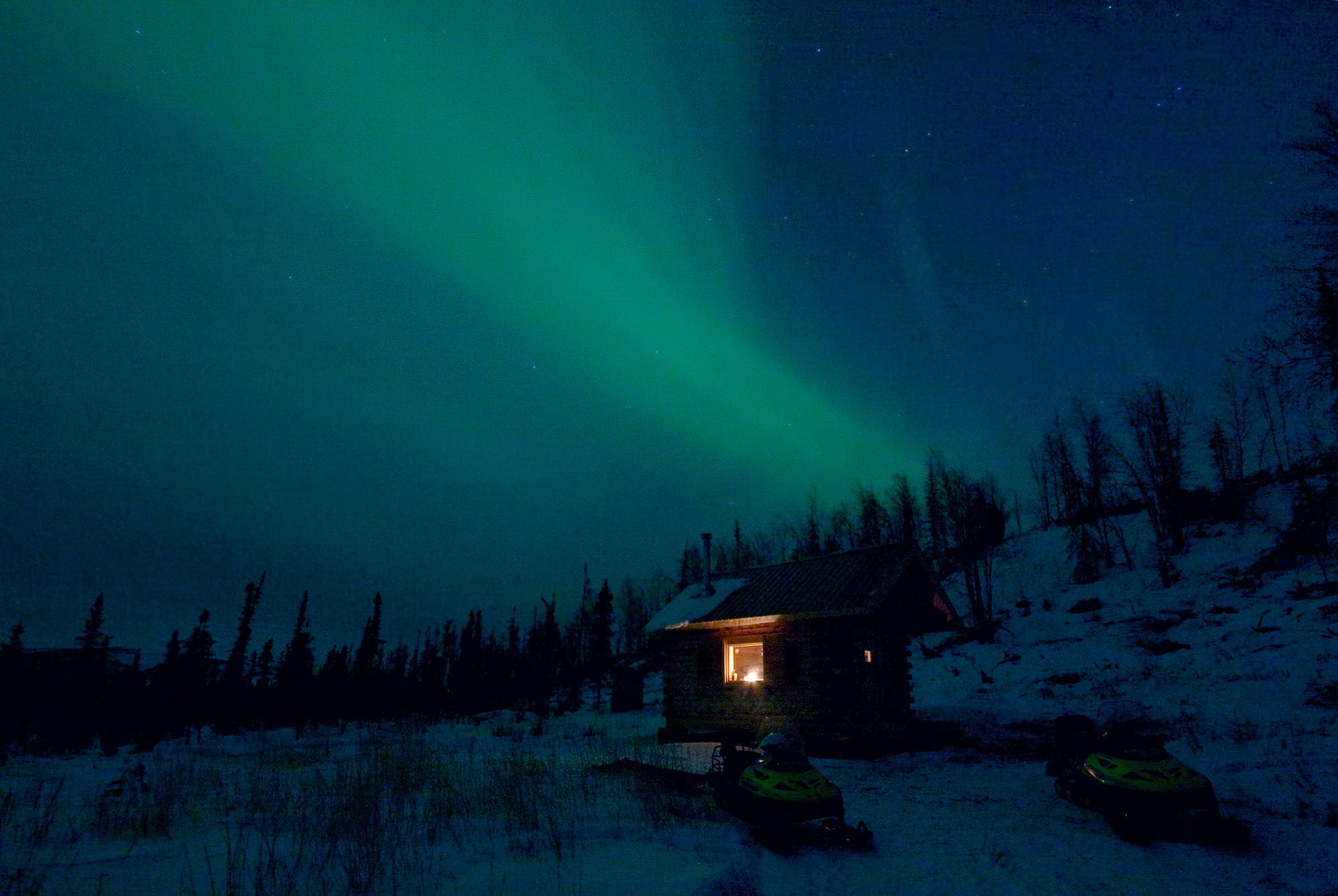
Summit Trail, White Mountains National Recreation Area, AK
Throw a dart at a map of Alaska’s BLM land and you’ll end up with (1) an awesome trip and (2) utter solitude. So where to go in a state that has more acres of BLM land than the total area of Arizona? Start with the White Mountains, which offer isolation and access. Less than an hour north of Fairbanks, they give a taste of what hikers come to Alaska for—big mountains, big forests, big wildlife, and big light shows—without requiring a bush plane or even a packraft.
Traverse a section of the range on a 20.5-mile out-and-back that follows a maintained trail the whole way as it cruises along a ridgeline. From the Wickersham Dome trailhead, coast in and out of spruce-covered saddles and alpine tundra to the first-come, first-serve shelter near mile 8. There, spend the night in a cozy hut (no woodstove) and tick off the remaining bit as a dayhike. It’s 2.3 miles to the ridge’s 3,218-foot highpoint, where you’ll get an eyeful of the limestone ridge of the White Mountains proper and, on a clear day, the Alaska Range. You can go as far as Beaver Creek (21 miles from the trailhead), but we recommend turning around for easier logistics. Keep your eyes peeled for caribou, Dall sheep, moose, and both kinds of bear.
Distance 20.6 miles (out and back) Time 2+ days Elevation change +2,400 feet, -1,400 feet (one way) Trailhead Wickersham Dome (65.1778, -148.0774) Season May to September Permit None
Desert Dream
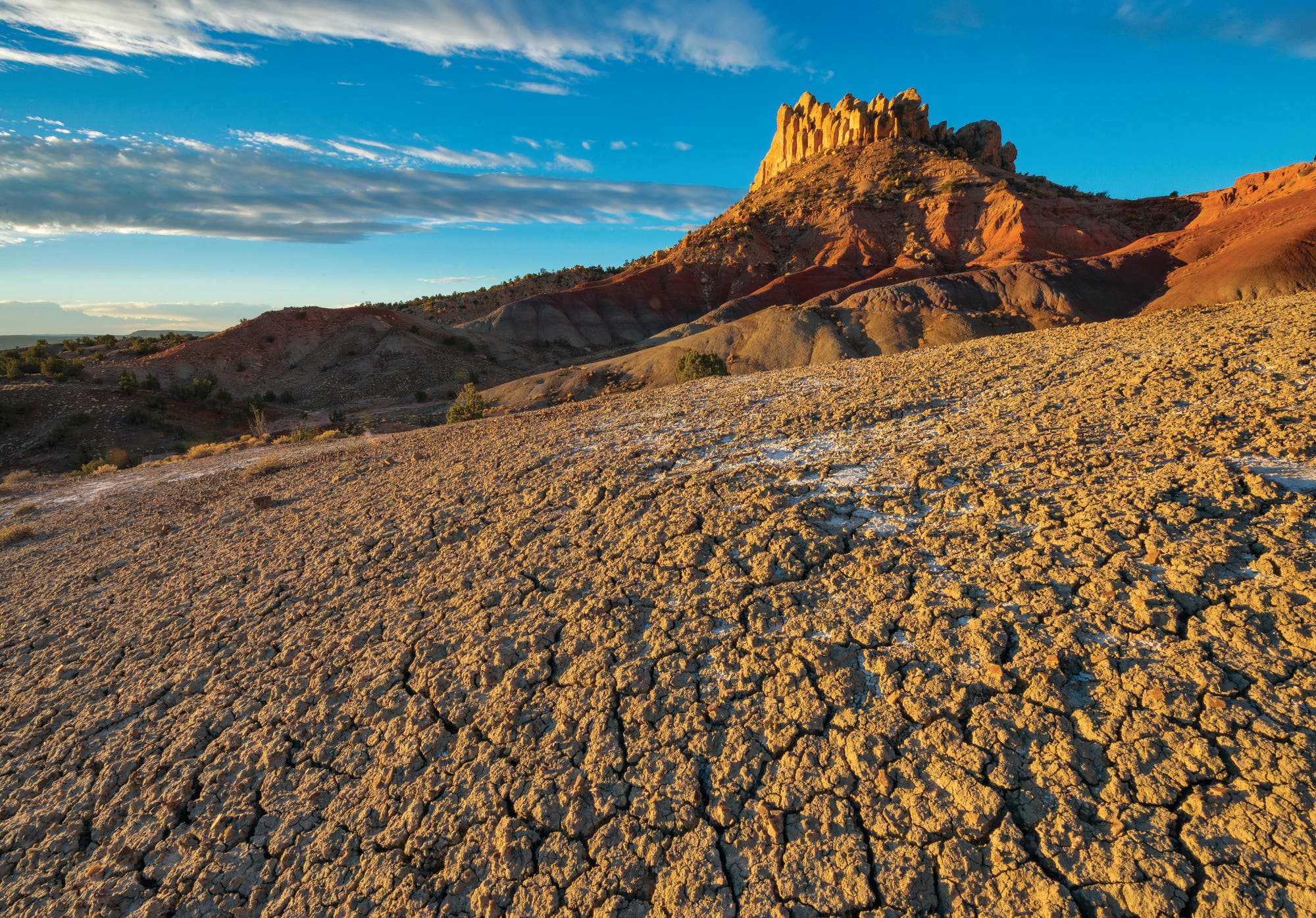
Little Death Hollow/Wolverine Loop, Grand Staircase-Escalante National Monument, UT
A name like Little Death Hollow is sure to keep most visitors away, and the remote trailhead does the trick for the rest. Don’t you be dissuaded, though. This two-day, 18-mile loop is one of the finest in canyon country, with plenty of solitude, easy navigation, and enough scenery to fill a memory card.
To do it, follow the Burr Trail past imagination-inducing rock formations cut into the walls of Little Death Hollow as it twirls southwest. Near mile 4, the twisty corridor narrows, eventually squeezing into a sliver of wavy, pink sandstone that you can touch with outstretched arms. Take your time through the lower reaches of Little Death Hollow: Flash floods routinely wash debris into this choke point, making for slow going. But the pace provides all the more time to check out the canyon walls towering 500 feet overhead. Camp among cottonwoods at the juncture with Horse Canyon near mile 8 (seasonal water here, but you can venture 2 miles south down Horse Canyon to reach the reliable Escalante River if needed). Next morning, continue north up Horse and Wolverine Canyons, where the pocked sandstone walls look like they’re melting. Fossilized fern imprints—remnants from this now-arid zone’s rainforest past 100 million years ago—and petrified tree trunks add to the gallery. Follow Wolverine past the Creamsicle-colored Circle Cliffs to reach the road, 1.3 miles north of your car.
Distance 18.2 miles (loop) Time 2 days Elevation change +3,600 feet,
-3,600 feet Trailhead Little Death Hollow (37.7839, -111.1804) Permit Required (free); self-issue at the trailhead. Season September to May
Ridgetop Safari
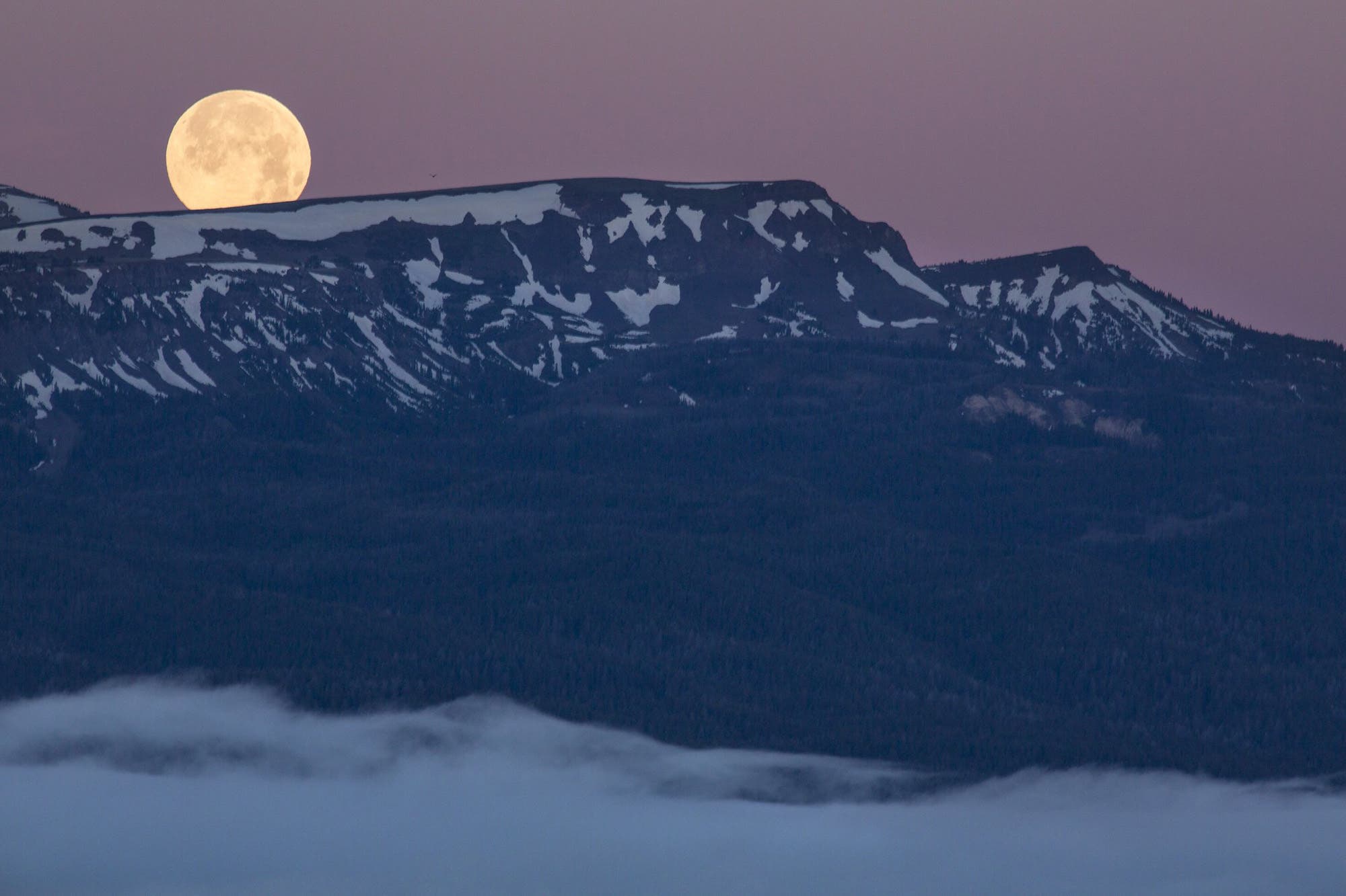
Red Rock Pass to Monida Pass, Continental Divide Trail, Centennial Mountains Wilderness Study Area/Targhee National Forest, ID/MT
Balancing on the border of Montana and Idaho, the Centennial Mountains form a bridge from the greater Yellowstone ecosystem to the Northern Rockies to the west, making it a popular corridor for megafauna like moose, elk, black bears, grizzlies, and even wolves. But it’s not popular among two-legged types, so in 50-plus miles of tiptoeing along the crest of the range, you’re far likelier to run into an animal than another hiker.
To tick off this section of the Continental Divide Trail, start at the eastern end of the Centennials and follow the ridge 57 miles west to I-15 at Monida Pass (2.4 miles north of Humphrey, Idaho). Day one, trek through a fir forest to Blair Lake, near mile 8. Spend your first night here, just below treeline—water is scarce on the ridge. Next day, crest the Continental Divide and undulate along open ramps with Idaho falling away to your left and Montana gobbling up the horizon to your right. Pass under 9,800-foot Taylor Mountain near mile 15, then tackle a long descent to Aldous Lake near mile 29. Set up camp in the trees north of the pool and face your tent toward Antelope Valley. Dusk bonus: Keep an eye peeled for deer and bears near forest fringes. Next morning, continue west along the ridge to overnight at a tiny unnamed tarn near mile 44, then knock out the final 13-mile push to your shuttle car.
Distance 57 miles (point to point) Time 4+ days Elevation change +10,600 feet, -11,100 feet Trailhead Red Rock Pass (44.5989, -111.5210) Shuttle car I-15 (44.5196, -112.2551) Season May to September Permit None
Secret Beyond the Sierra
Beveridge Ghost Town, Inyo Mountains Wilderness, CA
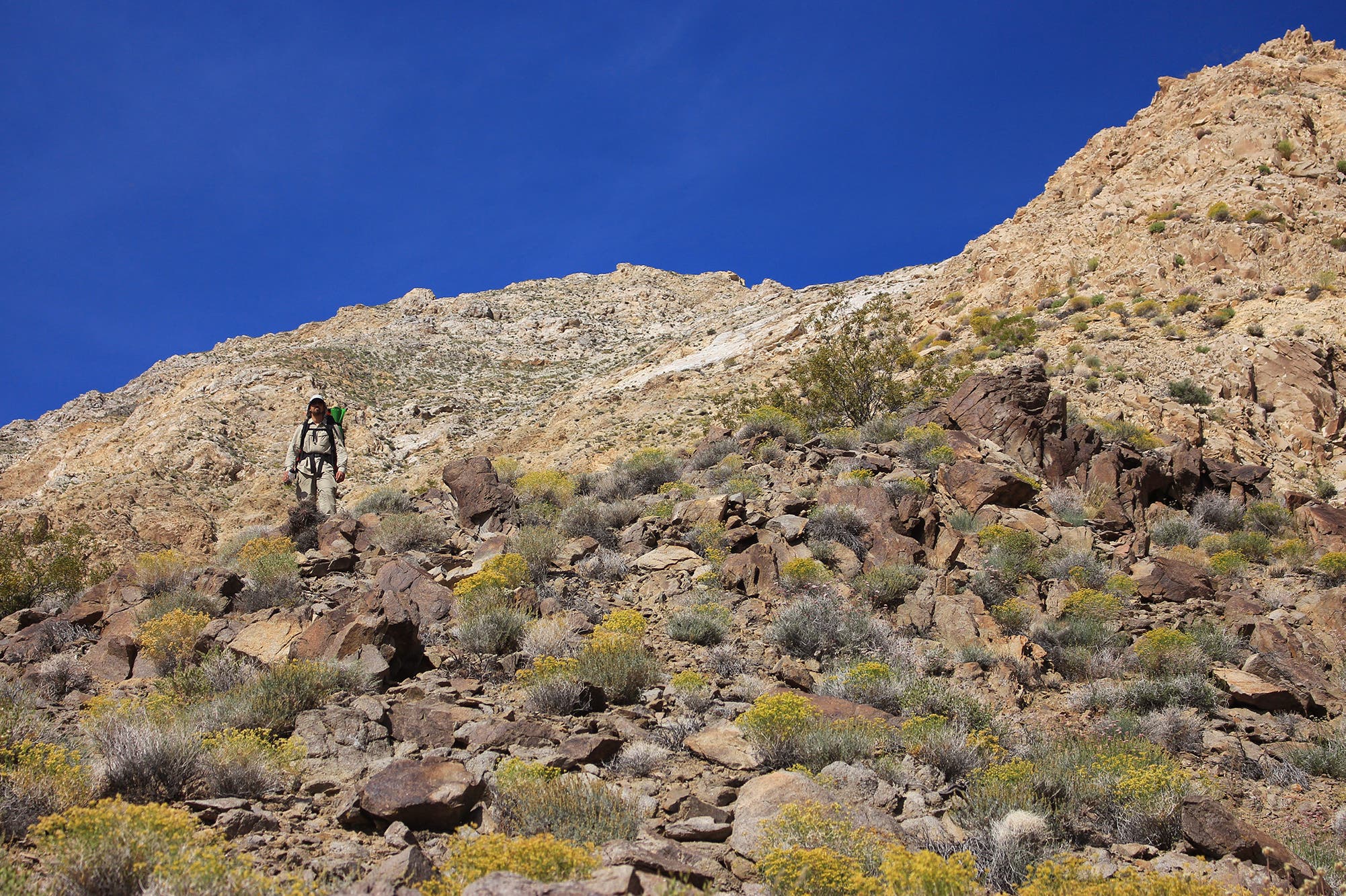
Overlooked for the neighboring Sierra Nevada, the Inyo Mountains offer one of the best vantage points of the Range of Light, with its jagged granite peaks ripping across the skyline to the west. Comanaged by the BLM and Forest Service, this remote range is a prime example of how limited development, difficult access, and no amenities keep the crowds away (even in California). You won’t find a trailhead and you’re unlikely to see another hiker, so make sure your nav skills are sharp for this 18-miler.
From French Spring, hike east on a faint path (there’s a dotted line on USGS quads, but treat this hike like an off-trail route). The climb begins right away and doesn’t stop until you top out at Forgotten Pass, 5 miles and nearly 5,000 feet from the start. From there, drop into a drainage and negotiate a scree field to reach Frenchy’s Cabin, a low, stone shelter built in the 1890s. Continue down Beveridge Canyon, navigating around wild rose bushes, until you reach the ruins at mile 9. The mining town operated from the late 1800s into the 1960s, but the extremely dry climate here has preserved it well. Look for intact buildings with tin roofs (don’t enter), scattered machinery, and a tramway that was once used to move mining material. Pitch a tent near the ruins and the natural spring, facing the craggy Fourteeners of the Sierra downcanyon for the sunset show.
Distance 18 miles (out and back) Time 2 days Elevation change +5,200 feet, -4,000 feet (one way) Trailhead French Spring (36.6650, -118.0006); high-clearance, four-wheel-drive vehicle required, but you can park 1.8 miles farther back if needed. Season May to June and September to October Permit None
Easy Pickings
Cadiz Dunes, Cadiz Dunes Wilderness, CA
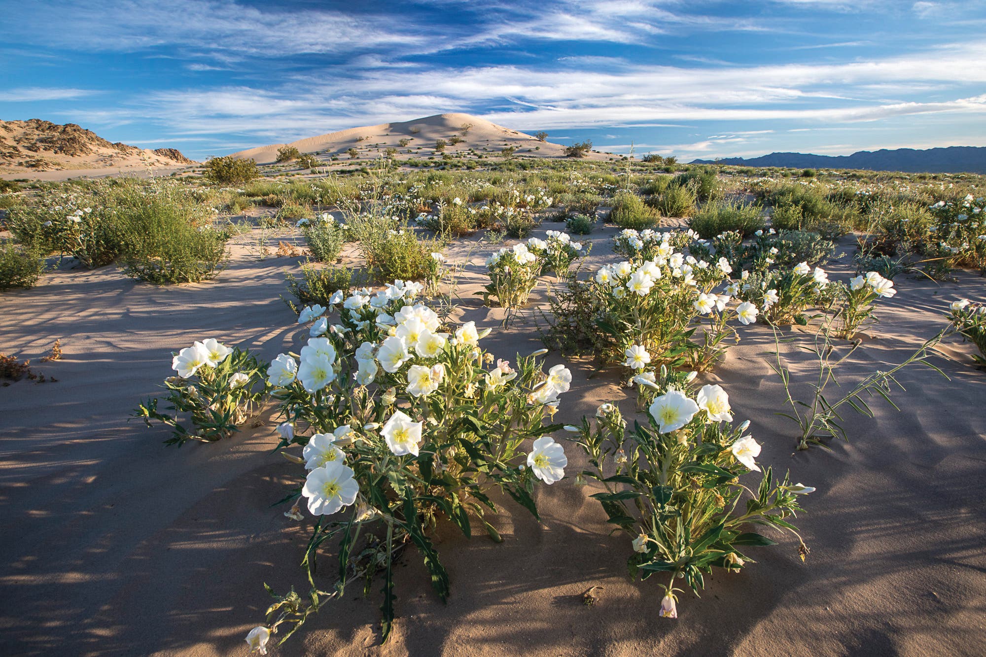
Things Cadiz Dunes has going for it: pristine sandbox, mountain views, impressive wildflowers, and an average of two parties per day. That’s a whole lot of good for a place that’s only a few hours removed from downtown L.A. The dunes themselves aren’t the tallest around—think mellow, tan waves, not tsunamis—but that keeps them quiet. And your calves certainly won’t mind either.
There’s no right destination in the 19,935-acre dunefield, but there’s only one easy entry point. From the parking area off Cadiz Road, hike southwest into the sand in the shadow of the Sheep Hole and Old Woman Mountains—the two ranges that cup Cadiz. In spring, white primrose and pink Borrego milkvetch—which is only found in this area of Southern California—sprout up from the dunes along the way. (This place is home to superblooms.) Make camp wherever something suits, arranging your tent west toward the 4,000-foot Sheep Holes, which, with all their folds, look like a pile of laundry tossed in the corner. When the morning sun creeps over the Old Woman Mountains to the east, it slowly defines each anonymous rib and highpoint in a place so quiet, not even names stick to it.
Distance Varies (out and back) Time 2 days Elevation change Varies Trailhead Cadiz Dunes Road (34.3984, -115.4186); high-clearance, four-wheel-drive vehicle required, but you can park 2.5 miles farther back if needed. Season September to May Permit None
Pioneer Days
Great Divide Basin, Continental Divide Trail, Crooks Mountain Herd Management Area, WY
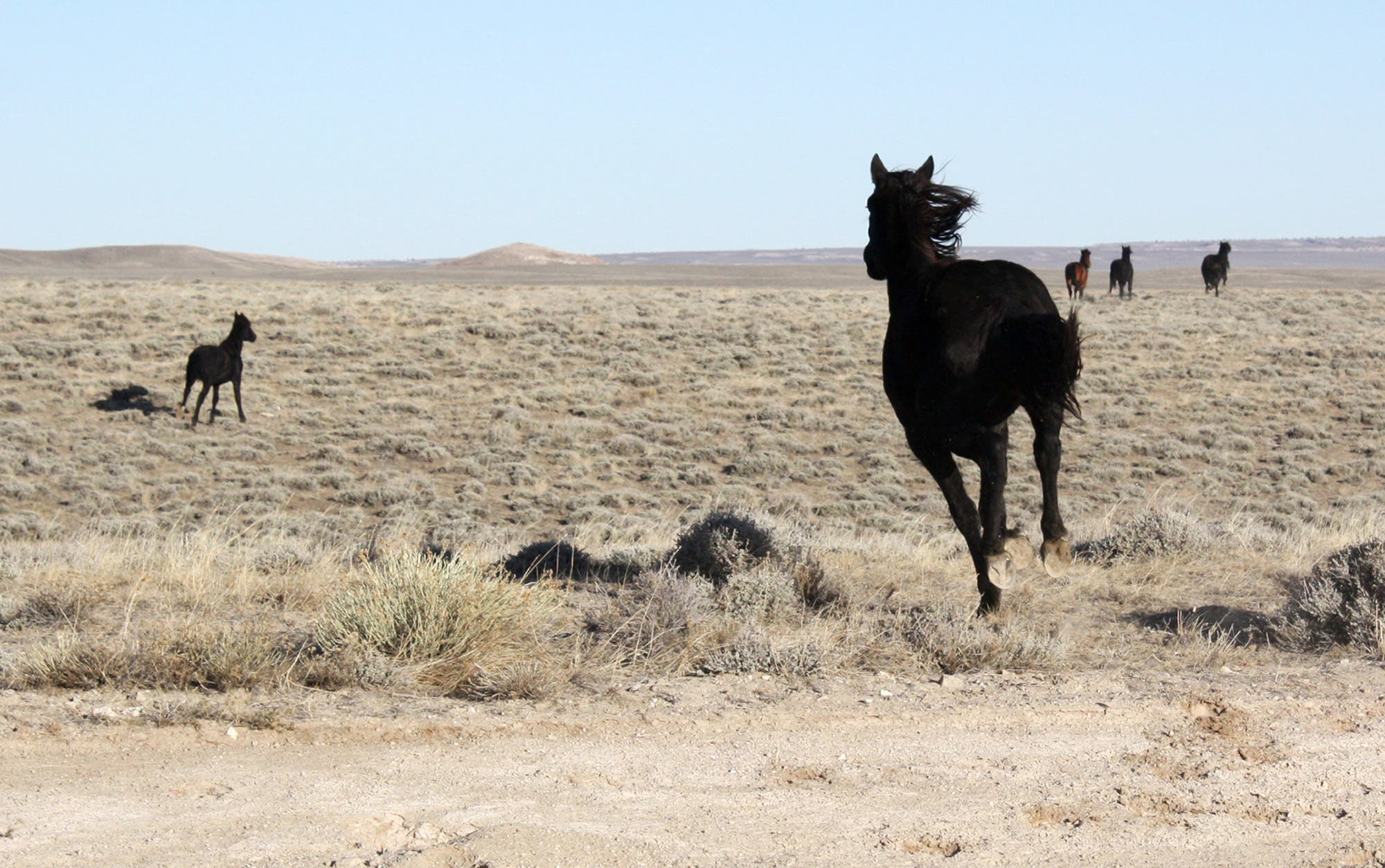
We’d forgive you for imagining you were a member of a wagon train on this piece of trail. If not for the singletrack cut through the sea of sagebrush, it looks just as it did in the early 19th century. This section of the notoriously rough Continental Divide Trail offers a reprieve from the long path’s incessant ups and downs, passing through a desolate high prairie, where wild horses, elk, deer, and pronghorn roam. But that doesn’t mean it’s easy. Water is hard to come by, and this one’s so quiet, it’s almost too quiet.
To score the solitude, head west from Crooks Gap through scrublands and mixed conifer forests with views stacking 50 miles northwest over the high desert to the Wind River Range. Pick a wind-sheltered campsite along Crooks Mountain, which is less a peak than a string of mounds across the basin (top off water at perennial Brenton Springs at mile 4 beforehand). Day two, cross the prairie and dip into the shade of mixed pines, cottonwoods, and aspens until you reach Bison Basin Road.
Distance 24 miles (point to point) Time 2 days Elevation change +2,600 feet, -2,400 feet Trailhead Crooks Gap (42.3341, -107.8627) Shuttle car Bison Basin Rd. (42.4026, -108.1827) Season Year-round Permit None Contact bit.do/blm-cdt
Hallways of Ancients
Grand Gulch, Grand Gulch Wilderness Study Area, UT
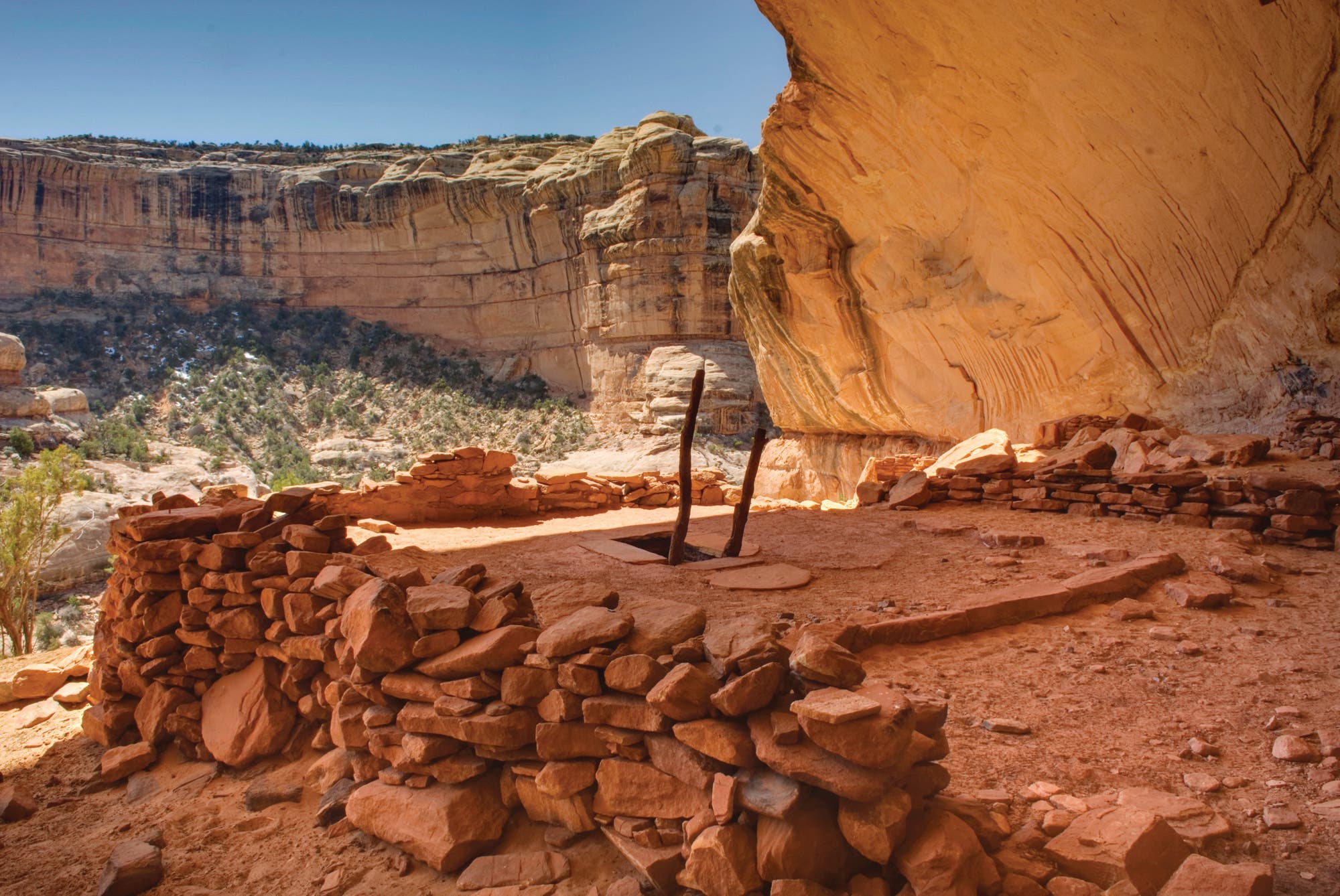
With its intricate side canyons, cultural sites, and plentiful water (at least by desert standards), Grand Gulch is the sort of place where you could spend a lifetime exploring and still see something completely new on each return. What you’re likely to not see? Crowds. The BLM enforces a strict quota system, which keeps the place unspoiled. In high season, it issues 20 permits a day in the Cedar Mesa zone, and though 12 are set aside for reservations, eight are issued to walk-ups—meaning you can score a free pass to one of the Southwest’s grandest canyon networks if you’re willing to camp near the Kane Gulch Ranger Station the night before.
Permit in hand, hike across the street to tackle one of the best routes in Grand Gulch: the horseshoe through Kane and Bullet Canyons. Navigation is relatively easy for a canyon route, and you pop out of Bullet 8 miles south of Kane Gulch. Descend into the sandstone maw, following the deepening canyon about 3.8 miles to its confluence with Grand Gulch. Continue southwest through Grand, looking for the Turkey Pen Ruin, an ancient neighborhood at the base of an overhanging canyon wall. Other ceremonial kivas, granaries, and rock art dot the way to the junction with Bullet Canyon (mile 12.6). Camp in the riparian zone near a seasonal spring, then, next morning, head east up Bullet. Keep an eye out for the intact wooden, latticed window of the Jailhouse site and the reconstructed entrance ladder to Perfect Kiva in the upper portion of the drainage. Climb steadily out of the canyon via a social path to the trailhead on South Road.
Distance 20 miles (point to point) Time 2 days Elevation change +2,200 feet, -2,200 feet Trailhead Kane Gulch (37.5244, -109.8958) Shuttle car Bullet Canyon (37.4308, -109.9495) Permit Required ($8); obtain from the Kane Gulch BLM station. Season Spring and fall