Exploring Minnesota's Superior Hiking Trail

The soundscape of my hike changed yet again. Hiking through the final stand of trees on the forest’s edge, the quiet woodland thrum of the last few miles gave way to the gentle crashing of waves against weathered stone. Cresting the small rise on sheer cliff edge, Lake Superior revealed itself some fifty feet below. It extended far and wide in each direction, boasting a vastness my Colorado based-brain struggled to comprehend. I was used to lakes that I could swim across if need be, and this appeared to more like the Atlantic coastline than a single lake. I strained to see anything in front of me beyond waves and horizon. As the most expansive body of fresh water in the world, Lake Superior is nothing if not impressive to behold. Equally as impressive though, and arguably more beautiful, was the trail I had spent the morning traversing some small part of, the Superior Hiking Trail.
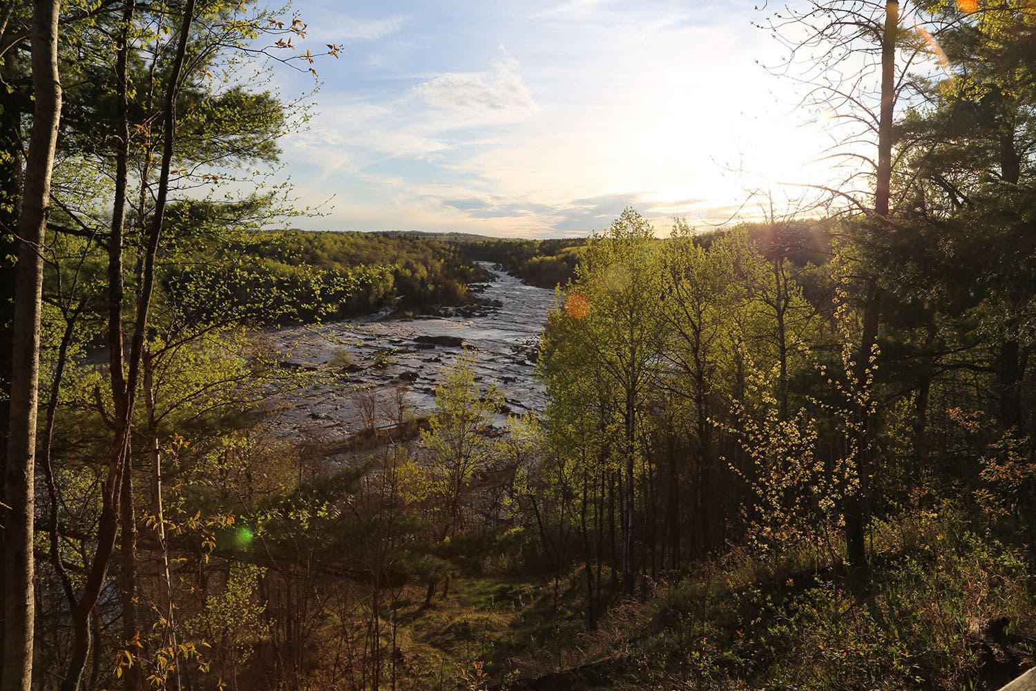
Covering 310+ miles along the western edge of its namesake lake, the entire SHT goes from Jay Cooke State Park at Lake Superior’s southern tip to the Canadian border. While most of the trail follows the shoreline of Lake Superior, it also winds inland to climb short vistas, descends through valleys, and cross over the many rivers that feed fresh water into Lake Superior. Waterfalls are a frequent and mainstay of the trail as well.

The sheer length of the SHT lends itself well to being portioned, and the trail is broken up into seven main sections, which are then further subdivided into shorter hikes. With trailheads every few miles and 94 backcountry campsites, there are opportunities for any length of hike from a short-day adventure to weekend backpacking to a month of thru-hiking along the ridge of the beautiful lake. The trail is incredibly well marked, with blue blazes spaced evenly and consistently, and small SHT tags at every turn to keep hikers on track.
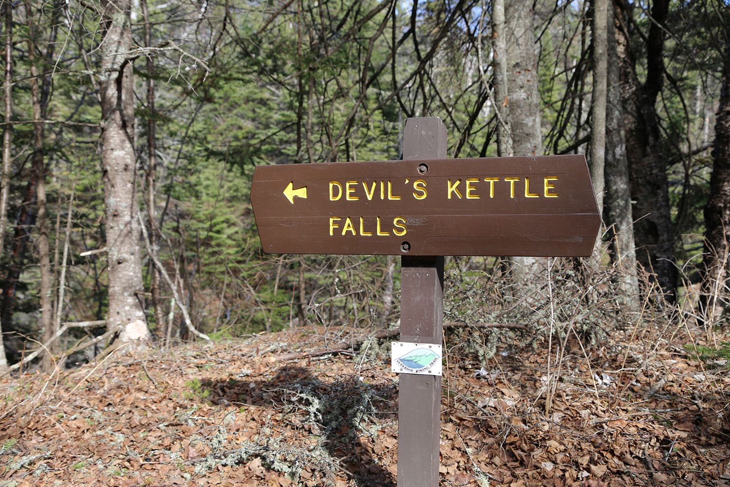
Still transfixed by the view and snacking on almonds, I hear a new rustling in the woods behind me, and turn to see a group of backpacker’s marching my direction, their smiles broadening as they discover the same view I had been enjoying. A brief hello reveals they have been on the trail for three days now, and have two more ahead of them. Their travel will culminate in Judge C. R. Magney State Park near the northern end of the trail, and the famed Devils Kettle waterfall, which appears to suck half the Brule River underground. The strange hydrology and geologic feature is a true capstone to the lengthy and majestic SHT, striking hikers with a certain sense of awe since its discovery. Even with the recently released explanation of the waters seemingly magical disappearance, the sight is no less stupendous.

Despite the strong urge to follow the group on their journey north to see the Devils Kettle and all the other features farther along the trail, the days sunlight is already showing signs of fading. I bid the backpacking group adieu and start back on the SHT, the soundscape once again changing and the scenery evolving into a different beauty, wishing only that I had another month to dedicate to hiking the trail in full.