Published December 23, 2019 04:49AM
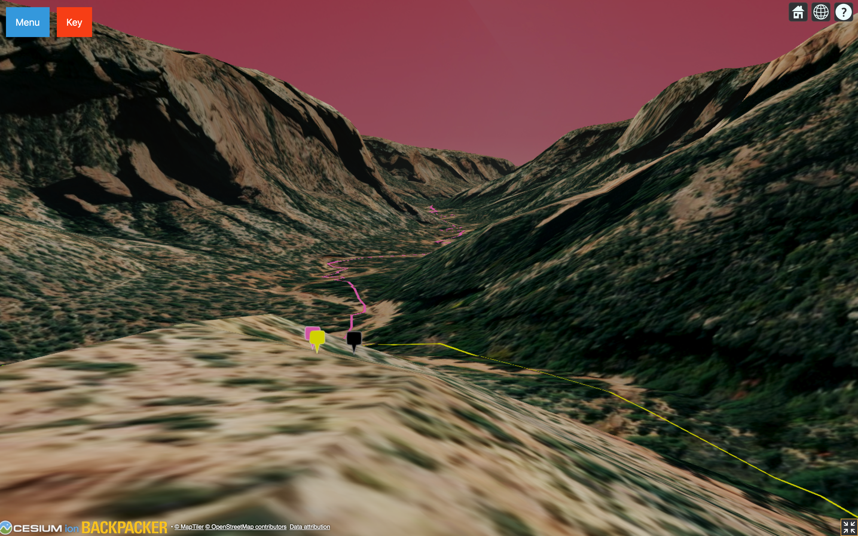
Explore Bears Ears National Monument in 3D
Follow along with BACKPACKER's 2019 Editors' Choice trip in this interactive story.
Editors’ Note: Our 3D maps are currently down while we work on relaunching them. Check back soon!
When your neck is sore from looking up at the end of the day, you know you’ve found someplace really special. It was the first afternoon of a five-day BACKPACKER trip to Arch Canyon in Utah’s Bears Ears National Monument, and our ten-person group had spent the entire eight-and-a-half-mile hike in goggling sandstone towers and buttresses. Then the sun sank below the horizon, lighting the arches and cliffs above our campsite in brilliant orange, and it was like seeing the canyon for the first time again.
Bears Ears is still comfortably off the tourist trade routes—it sees fewer visitors every year than Zion sees every month—but we’d rank its twisting canyons with the best of the southwest. It’s also in danger: In 2018, the Trump administration slashed the size of Bears Ears National Monument by 85%, potentially opening up 1.3 million acres to mining and drilling.
Now, you can see it for yourself: Click on the link below to explore our 2019 Editors’ Choice trip to Arch Canyon in 3D, and catch a desert sunset for yourself.
ADVERTISEMENT
Map down for maintenance