Evansville, IN: Harmonie State Park

From the flat plains of the Wabash River, this 3.6 mile lollipop loop combines Trails 1 and 4 over steep hills, across wandering creeks and into deep ravines near the south end of Harmonie State Park. Begin on the flat floodplains of the Wabash River—the picnic area makes a great post-hike pit stop—and pass an old barn before turning south along an old country road. Under outsized specimens of oak and maple, the trail roller-coasters over hills into deep ravines, passing a group picnic area and descending stairs into a 200-foot gorge at mile after 1.8. Towering trees, lush greenery and hanging vines evoke a primeval atmosphere. The last mile of the trail tracks along a slightly downhill slope, with only a few short hills to interrupt a leisurely stroll back to the trailhead.
This short hike isn’t an all-day affair, but with several interpretive trails loops scattered throughout the park and an Olympic-sized pool (with a 110-foot waterslide!) as the park’s main attraction, there are plenty of ways to wile away a day.
-Mapped by Ted Villaire


Trail Facts
- Distance: 5.9
Waypoints
HAR001
Location: 38.0614815, -87.9658051
The trail begins on the south side of the main park road just south of the Wabash River Picnic Area campground. A bluff rises immediately on the right signaling your departure from the flood plain.
HAR002
Location: 38.0600791, -87.9633343
The bluff on the right steepens and the oaks multiply. Look for white trilliums in the lush understory and take note of the old barn, remnant of the areas farming history.
HAR003
Location: 38.0597454, -87.962181
Continue straight at the 3-way junction, passing the turnoff to Trail 2.
HAR004
Location: 38.0589133, -87.959311
Turn right @ the T-junction to begin a counterclockwise loop on Trail 4. You’ll be following a small creek, the banks of which are laden with horsetail grass.
HAR005
Location: 38.0550864, -87.9593754
The bluffs grow and ravines deepen on this 0.65-mile stretch along an old country road. Huge maples and oaks rise above the rugged landscape. The occasional dogwood trees and ferns are sprinkled throughout. When foliage is sparse, you may see the bottom of the 100-foot deep ravine on the trail’s west side.
HAR006
Location: 38.0494766, -87.9593506
After crossing the park road, the trail turns east and rises gradually to a picnic area, the parking lot there is another place to access the trail.
HAR007
Location: 38.0488768, -87.9506421
Cherry Hill picnic area is on your left, but to follow this mapped route, turn right at the 4-way junction to follow Trail 1 down wooden stairs into a deep ravine.
HAR008
Location: 38.0494682, -87.9463613
Follow the park road for 75 yards through a group camping area. After passing the pit toilets and water faucet-and filling up your bottles-turn left to continue on Trail 1.
HAR009
Location: 38.0519028, -87.9500351
Turn right at this 3-way junction to rejoin Trail 4. As you cross the park road, seemingly bottomless ravines may lure you in for a closer look.
HAR010
Location: 38.0583135, -87.9592842
A short climb from the ravine bottom brings you to the end of the trail loop. Turn right at this T-junction to begin retracing our steps to the parking area.
HAR011
Location: 38.0589302, -87.9592627
Turn left at the T-junction and continue alongside the creek to the parking area.
Creek
Location: 38.0606788, -87.9641283
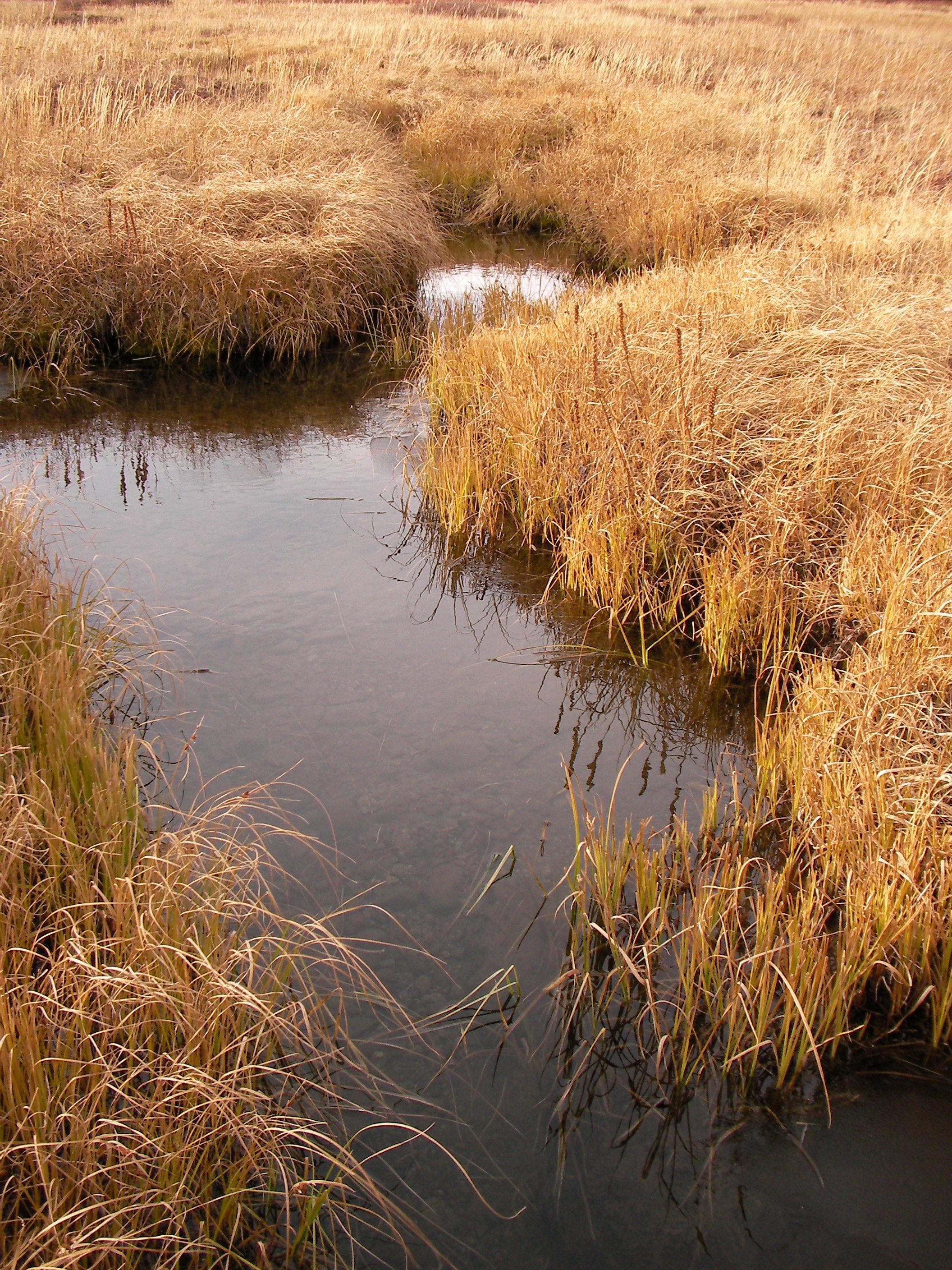
Road Brook’s sandy-bottom meanders alongside the first section of the trail. © Ted Villaire
Bridge
Location: 38.0583051, -87.9592252
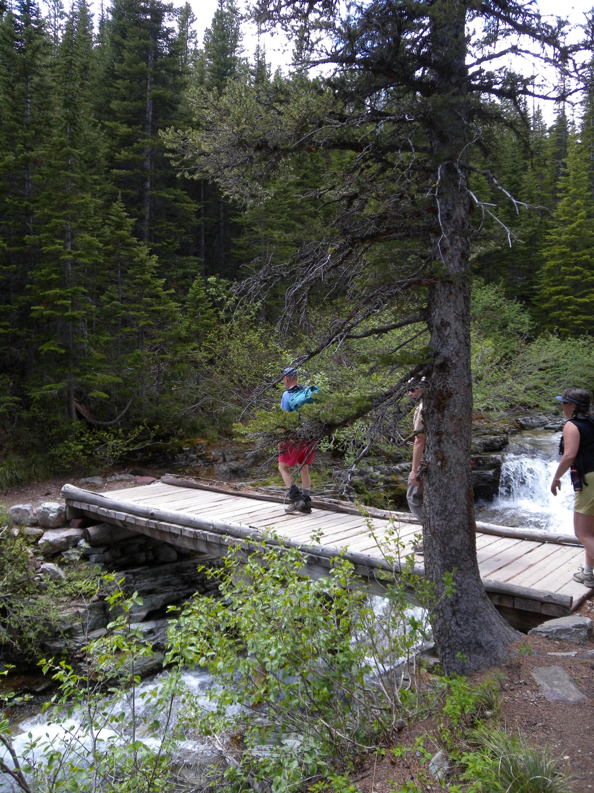
Cross this bridge and continue straight as Trail 4 begins a roller coaster ride among the bluffs. © Ted Villaire
Stairs
Location: 38.0486909, -87.948904
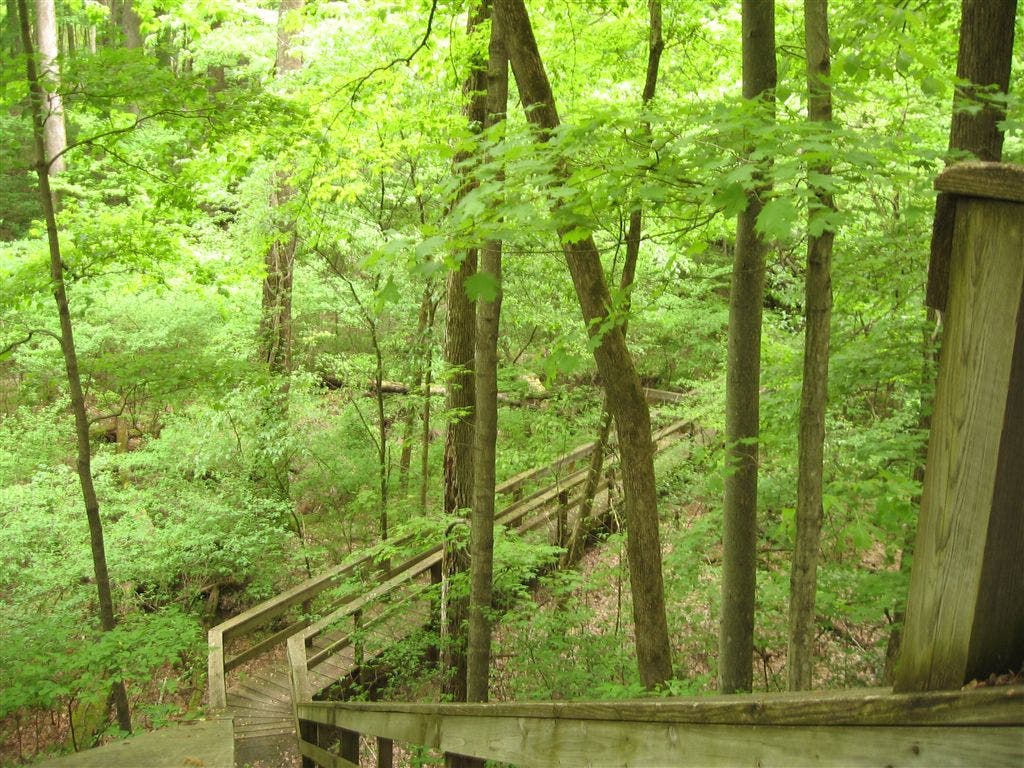
A steep staircase descent leads to the bottom of a deep ravine and a bridged crossing of Goad Brook. © Ted Villaire