Eugene, OR: Cape Perpetua Scenic Area
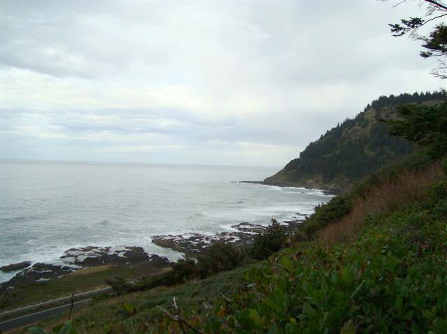
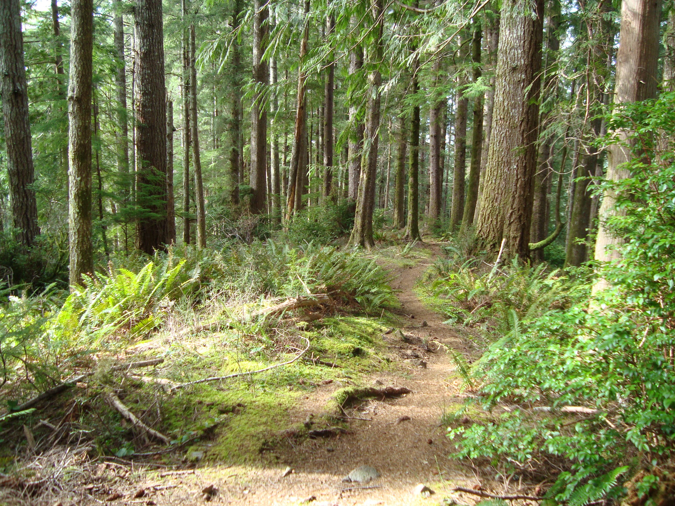
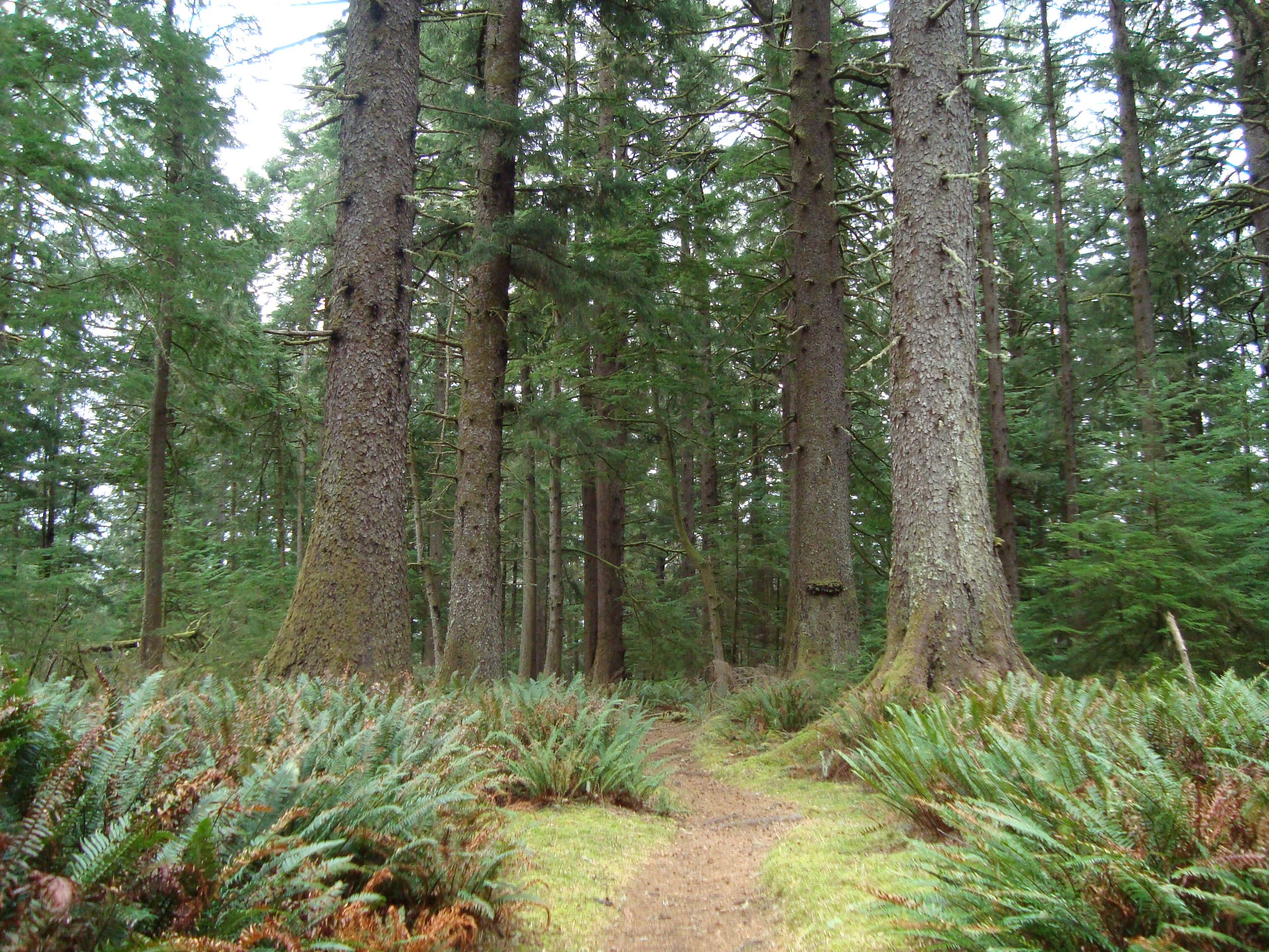
Perched on the edge of the Pacific Ocean and bordered by the Coast Range, Cape Perpetua Scenic Area is home to rocky shoreline, dramatic headlands, and lush, old-growth forest. From the Visitor Center, follow the Oregon Coast Trail to the south. The trail winds above the Pacific Ocean, passing Cooks Chasm and Captain Cook Point. After a mile, the route passes Gwynn Creek Trail and continues south to a junction with Cummins Creek Trail. Turn left at this 3-way intersection and hike east through leafy understory and giant Sitka spruce trees.
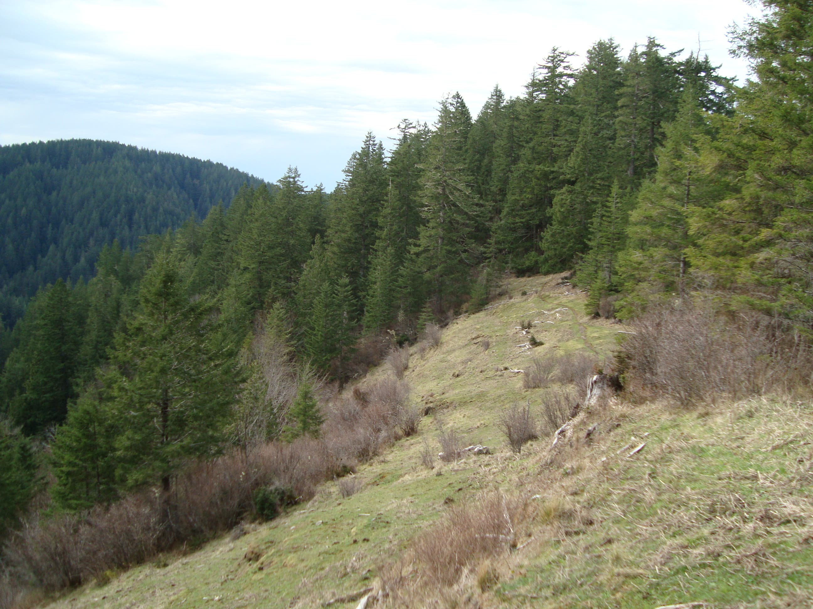
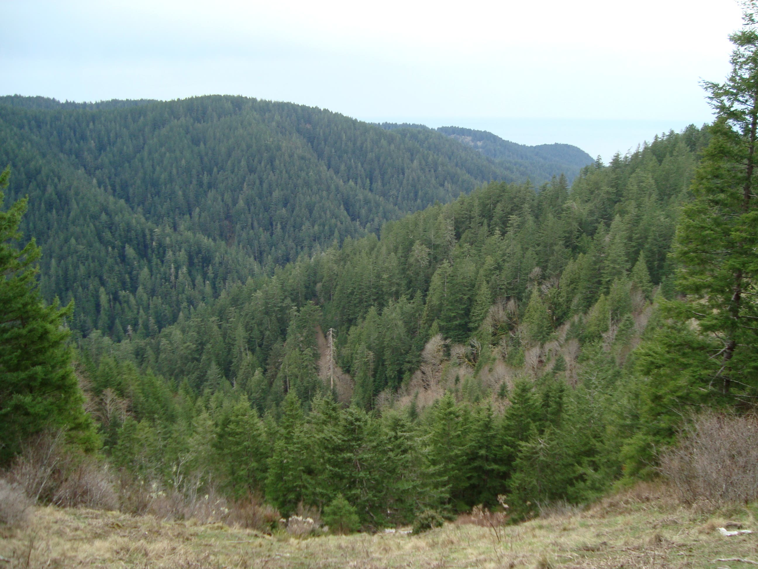
Nearly 3 miles in, the Cummins Creek Trail splits: bear left to take the upper route, which ascends more than 1,000 feet in less than 1.5 miles and traverses a ridgetop meadow. A mile and a half later, turn right onto a 600-foot spur trail to a viewpoint that overlooks the Coast Range to the east and the Pacific Ocean to the west. Past the viewpoint, the route winds north, then turns left onto Cook’s Ridge Trail for a ridgetop hike back to the Visitor Center.
Info: Cape Perpetua Scenic Area
-Mapped by Josh Beachy
Trail Facts
- Distance: 13.7
Waypoints
CPS001
Location: 44.2808883, -124.1084316
From the Visitor Center, follow the Oregon Coast Trail to the south. Over the next mile, the trail parallels the rocky shoreline.
CPS002
Location: 44.2704719, -124.106428
Continue straight @ 3-way junction on the Oregon Coast Trail. Gwynn Creek Trail enters on the left.
CPS003
Location: 44.2668418, -124.1057307
Turn left onto Cummins Creek Trail; the first 0.2 mile of trail follows a forest road. Ahead: Towering Sitka spruce trees flank the trail; these giants only grow within 3 miles of the coast.
CPS004
Location: 44.2710357, -124.0835473
Bear left @ Y-junction on Cummins Creek Loop Trail (upper route). The trail ascends more than 1,000 feet in less than 1.5 miles; expect a steep and strenuous climb. The lower Cummins Creek Trail forks to the right and reconnects with this route at waypoint 6.
CPS005
Location: 44.2739558, -124.0591246
The trail emerges on a ridgetop meadow with views overlooking the valley below. Stop and grab a bite to eat.
CPS006
Location: 44.2742725, -124.0580473
Stay left on Cummins Creek Loop Trail. The lower Cummins Creek Trail enters on the right.
CPS007
Location: 44.2751849, -124.0566194
Turn right @ 3-way and follow a short, 600-foot spur trail to a viewpoint that overlooks the Coast Range to the east and the Pacific Ocean to the west. Return to waypoint 7, and continue straight (north).
CPS008
Location: 44.2803647, -124.0543953
Turn left @ 3-way onto Cook’s Ridge Trail. (The trail that continues straight leads to Forest Road 55 and a longer hike back to the trailhead.)
CPS009
Location: 44.2776852, -124.0835381
Keep right @ 3-way junction with Gwynn Creek Trail. Ahead, the trail continues west along the top of the ridge.
CPS010
Location: 44.2766552, -124.1013373
Turn right or left on the Discovery Loop (both trails rejoin in 0.25 mile), then follow the trail back to the Visitor Center.
Oregon Coast
Location: 44.277716, -124.1110468
Cummins Creek Loop Trail
Location: 44.2725999, -124.0753412
Ridgetop Meadow
Location: 44.2739519, -124.0590656
Scenic Viewpoint
Location: 44.2735832, -124.0565443
Old-Growth Spruce Trees
Location: 44.2771322, -124.1025496