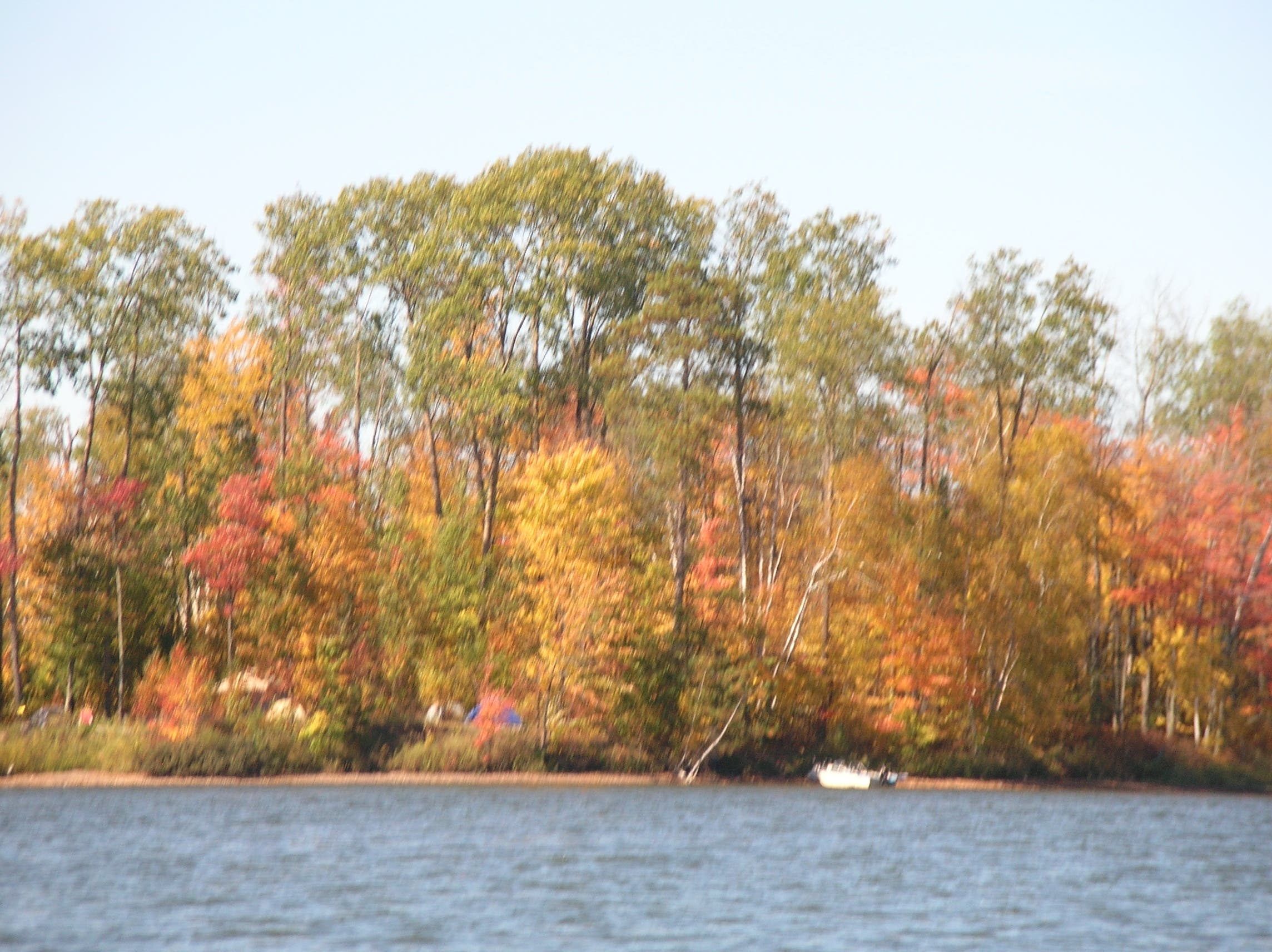
Eau Claire, WI: Crane Creek Island

Push off into a 15,000-acre Rorschach blotch of crystalline waters boasting world-class muskellunge and walleye fishing, ragged shorelines, and more than 200 islands. This 7.6-mile route in the “Big Chip” leaves time for newbie paddlers to get their bearings; experts can easily extend the adventure.
Launch from the CC North boat landing and aim for the break between the mainland and a big, unnamed island due south (shaped like an upside-down polar bear). Hug the rounded shore of its butt on a southwesterly course, with far-off views of interior islands. Squeeze through an hourglass gap past two islands at mile 1.1, and point northwest toward Crane Creek Island, following a string of tiny atolls sprouting white and jack pine, aspen, and the occasional blueberry bush. Camp at the designated site on the southern tip of Crane Creek Island at mile two; sheltered on three sides by slender aspen, birch, and pine, the site offers southern exposure and balcony views of the lake. The short trip to camp leaves time to explore: Pack your fishing gear and/or binoculars and paddle northwest into the whale-shaped bulge of Crane Creek Channel. Glide past white paper birch and look for osprey, loons, beavers, and belted kingfishers. After a meandering two-mile paddle, reach the creek’s source at Crane Lake, a spring-fed incubator of some of the best-tasting walleye in the state. After you’ve fished your fill, drift the current back to camp.
Next day, float .3 mile east to a 20-foot-wide inlet granting access to Crystal Lake, a 400-acre gem hidden behind bogs, barrier islands, and low ridgelines. Barstool legend claims this lake might be home to the next record-breaking lunker. Bait a hook and try your luck, then paddle a quarter of a mile to the southeast bays of the lake, following a dotted line of miniature islands to the invisible-until-you’re-in-it channel exiting to open water. Head northeast beneath the snout and front paws of the polar bear island and cross one more open bay to return to the landing.
-Mapped by Steve Johnson

Trail Facts
- Distance: 16.3
Waypoints
CFP001
Location: 45.952158, -91.230046
Launch here from the CC North boat landing.
CFP002
Location: 45.94879, -91.228799
Aim for the break (mile .3) between the mainland and a big, unnamed island due south (shaped like an upside-down polar bear).
CFP003
Location: 45.94739, -91.228194
Hug the rounded shore of its butt (mile .4) on a southwesterly course, with far-off views of interior islands.
CFP004
Location: 45.942022, -91.23811
Squeeze through an hourglass gap past two islands at mile 1.1, and point northwest toward Crane Creek Island, following a string of tiny atolls sprouting white and jack pine, aspen, and the occasional blueberry bush.
The water is barely deep enough to ford this skinny gap between islands.
CFP005
Location: 45.943983, -91.245659
Mini island: This tiny spit of land hosts vibrant,full-sized foliage.
CFP006
Location: 45.946432, -91.251492
Camp at the designated site on the southern tip of Crane Creek Island at mile two; sheltered on three sides by slender aspen, birch, and pine, the site offers southern exposure and balcony views of the lake.
CFP007
Location: 45.949728, -91.255813
The short trip to camp leaves time to explore: Pack your fishing gear and/or binoculars and paddle northwest into the whale-shaped bulge of Crane Creek Channel (mile 2.3).
CFP008
Location: 45.962365, -91.278957
After a meandering two-mile paddle, reach the creek’s source at Crane Lake, a spring-fed incubator of some of the best-tasting walleye in the state. After you’ve fished your fill, drift the current back to camp.
CFP009
Location: 45.945766, -91.245706
Walk a little: This slender lobe of the island is a kick to explore, for some off-the-boat time.
CFP010
Location: 45.946064, -91.245736
This bottleneck channel leads to the secluded beauty of Crystal Lake.
CFP011
Location: 45.946677, -91.24231
Next day, float .3 mile east to a 20-foot-wide inlet granting access to Crystal Lake (mile 6.7), a 400-acre gem hidden behind bogs, barrier islands, and low ridgelines. Barstool legend claims this lake might be home to the next record-breaking lunker. Bait a hook and try your luck.
CFP012
Location: 45.946483, -91.23851
Paddle to the southeast bays of the lake, following a dotted line of miniature islands to the invisible-until-you’re-in-it channel (mile 6.9) exiting to open water.
CFP013
Location: 45.947865, -91.233563
Head northeast beneath the snout and front paws of the polar bear island and cross one more open bay to return to the landing.
PIL001
Location: 45.953659, -91.236902
Tight fit: This shallow string of a channel is only navigable by canoe or kayak, and only in favorable conditions. An adventure on a rarely-traveled waterway.
PIL002
Location: 45.961178, -91.251156
Solitude: It’s all quiet on this small lake secreted away from the rest of the flowage.
Crane Creek Island
Location: 45.946047, -91.251112
N45 94.565 / W91 24.973