Duluth, MN: Brower Trail

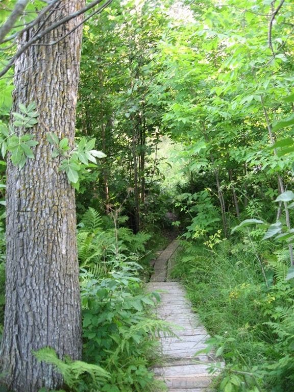
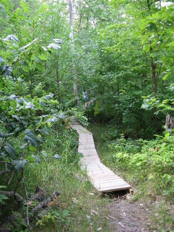
These boardwalks will keep your feet dry through most of the trail, but prepare to get your feet wet.
Trail Facts
- Distance: 6.2
Waypoints
BTH001
Location: 47.192569732666, -95.1710662841797
Head N along east arm of Lake Itasca through northern pines and understory of trillium and lady’s slipper (Minnesota’s state flower). Pack bug dope
BTH002
Location: 47.2003517150879, -95.1739196777344
Hug shore of slim inlet, following boardwalks above swamplike areas; pass W end of Preacher’s Grove, a stand of 300-year-old red pines
BTH003
Location: 47.2095603942871, -95.1768112182617
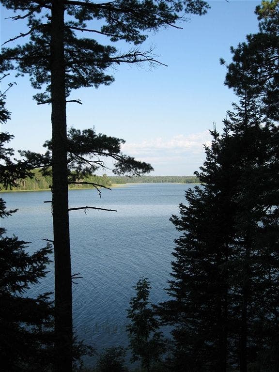
Hard-packed path rises above shoreline; views open over placid central lake to the W. Peace Pipe Vista accessible via large wooden staircase
BTH004
Location: 47.2168312072754, -95.1875610351562
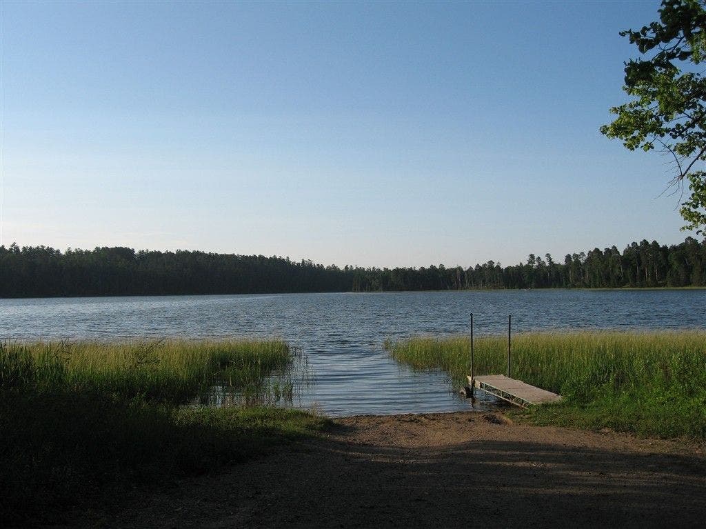
End of Brower Trail; old boat loading gives nice views of lake. Go up dirt road on R, then take L onto multiuse trail
BTH005
Location: 47.2188491821289, -95.1912689208984
Turn L onto boardwalk through sedge and alder into cattail-studded Floating Bog Bay, then pass campground and reenter forest
BTH006
Location: 47.2199783325195, -95.191650390625
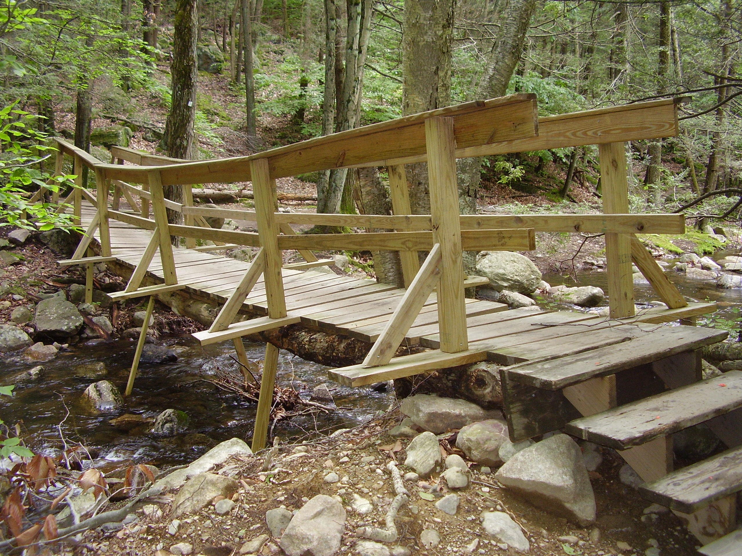
Large wood bridge above swamp
BTH007
Location: 47.2251510620117, -95.1904983520508
Boardwalk ends
BTH008
Location: 47.2308006286621, -95.1955490112305
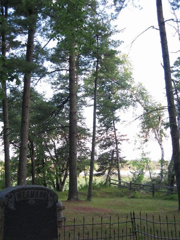
Pioneer Cemetery. Find headstone of Theodore Wegmann, park’s first game warden. Go N through woods along North Arm
BTH009
Location: 47.2332801818848, -95.1970520019531
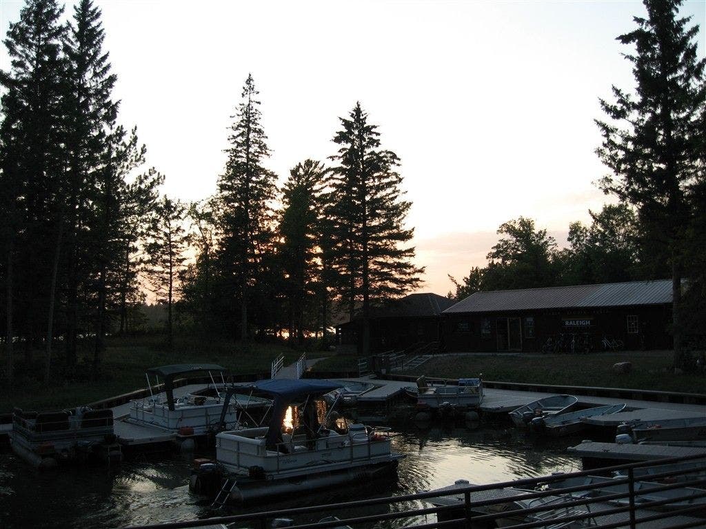
Pass marina, which offers watercraft, bike, and fishing-gear rentals. Look for loons swimming and diving on lake
BTH010
Location: 47.236198425293, -95.1999130249024
Finish @ open beach. Scan NW to where the Mississippi begins its 2,552-mile trip south. Retrace route to car
Trailhead dock area
Location: 47.1927452087402, -95.1709136962891
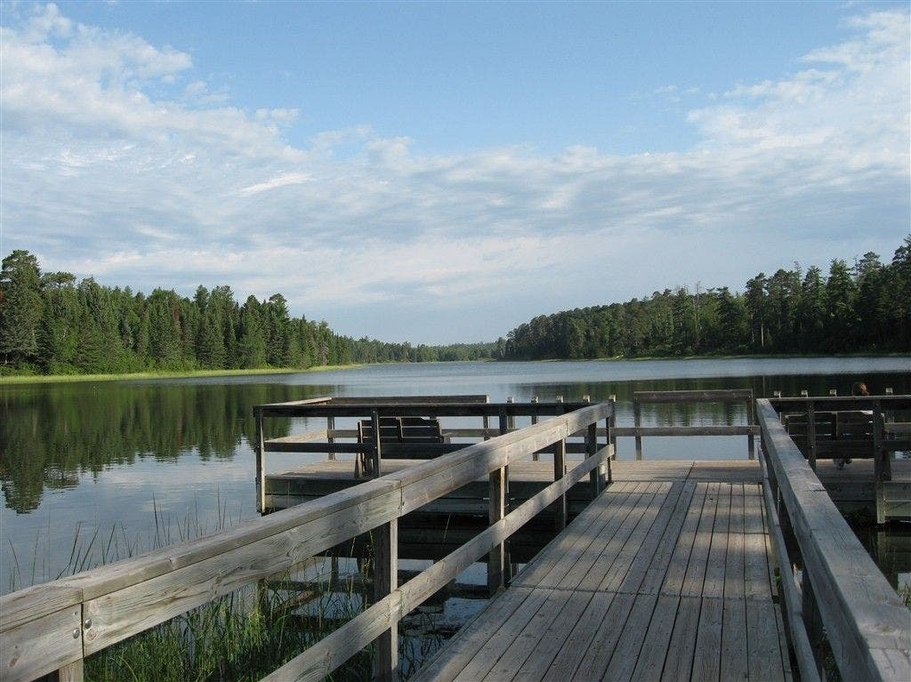
Before starting out, view the tranquil waters of the East Arm from this dock ©Bob Wold
Lily pads
Location: 47.1925659179688, -95.1709747314453
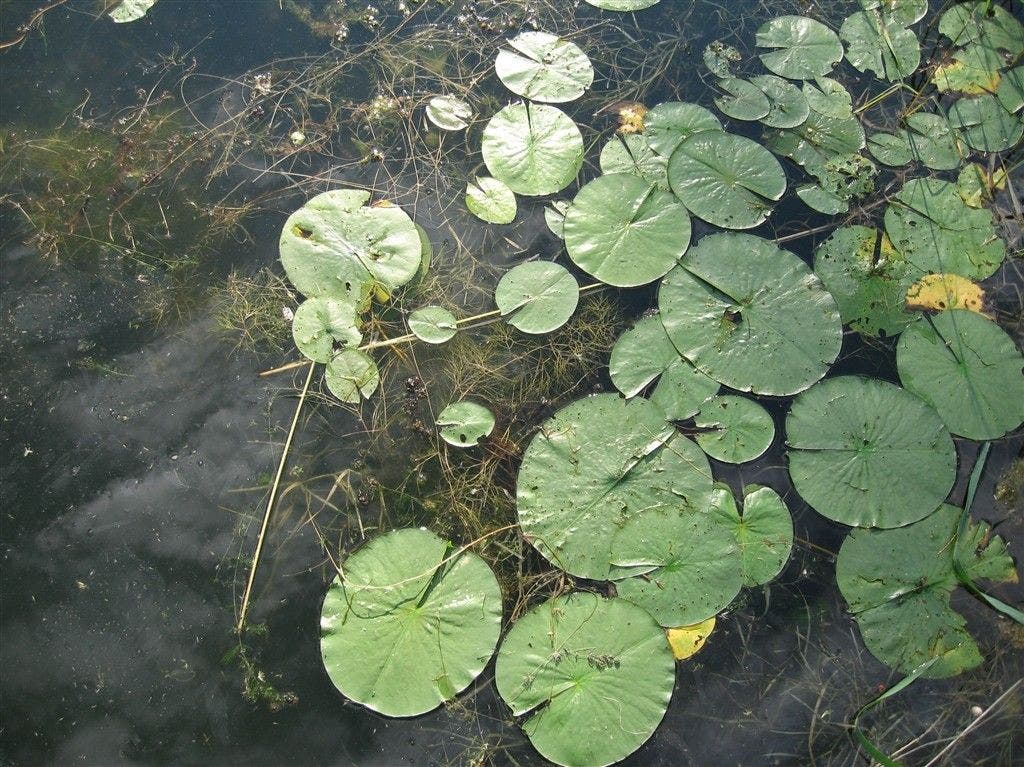
Floating green discs of flora dot the waters of Lake Itasca’s East Arm. ©Bob Wold
Full lake view
Location: 47.1928672790527, -95.1711578369141
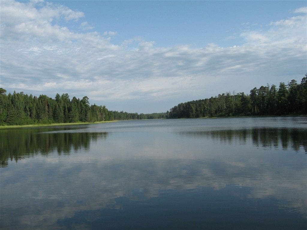
Scan the mirror-like waters of the East Arm before heading into the woods. ©Bob Wold
Wooded trail near north end of East Arm
Location: 47.1976661682129, -95.1725540161133
Boardwalk cuts through the dense growth on this section of the Brower Trail. ©Bob Wold
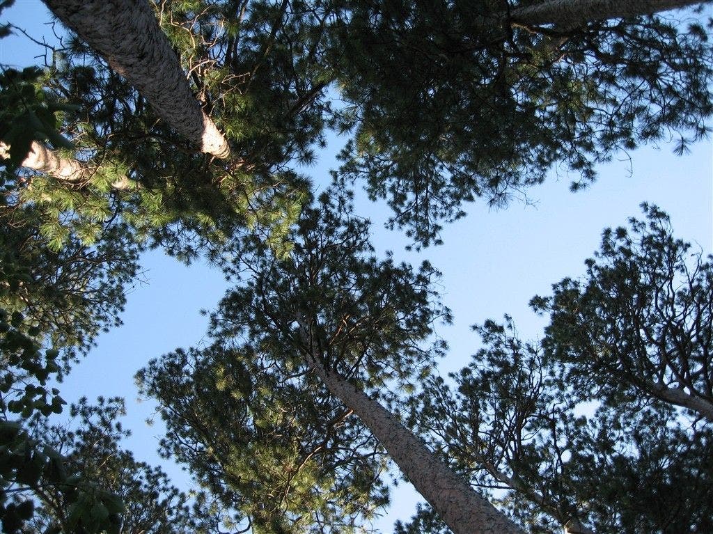
Tall trees
Location: 47.2118759155273, -95.1775970458984
Sky-reaching trees along the Brower Trail. ©Bob Wold
Vew near Peace Pipe Vista
Location: 47.2100524902344, -95.1766891479492
See the blues of Lake Itasca from this overlook. ©Bob Wold
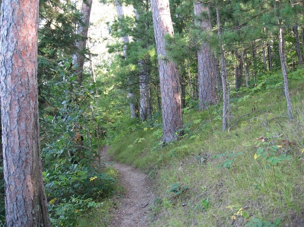
Winding trail
Location: 47.2154579162598, -95.1805725097656
Trail bends through trees above lake. ©Bob Wold
Catwalk over swamp
Location: 47.2159461975098, -95.1859130859375
©Bob Wold
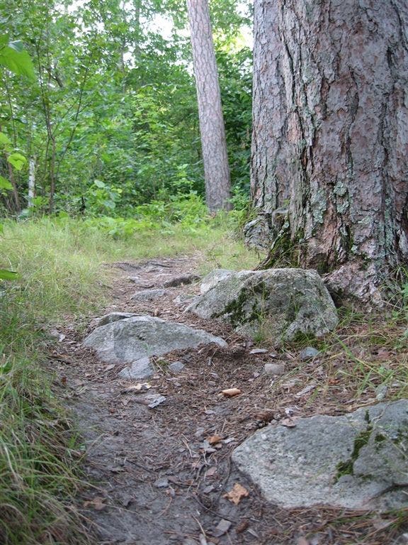
Stones and pines
Location: 47.2159461975098, -95.184700012207
©Bob Wold
Bay view
Location: 47.216552734375, -95.1884078979492
A quick off-trail spur leads to an old lakeside dock. ©Bob Wold
Bridge
Location: 47.2252960205078, -95.1902923583984
This large bridge leads above the swamps through the woods. ©Bob Wold
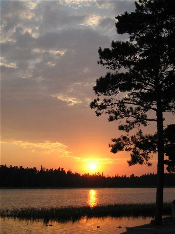
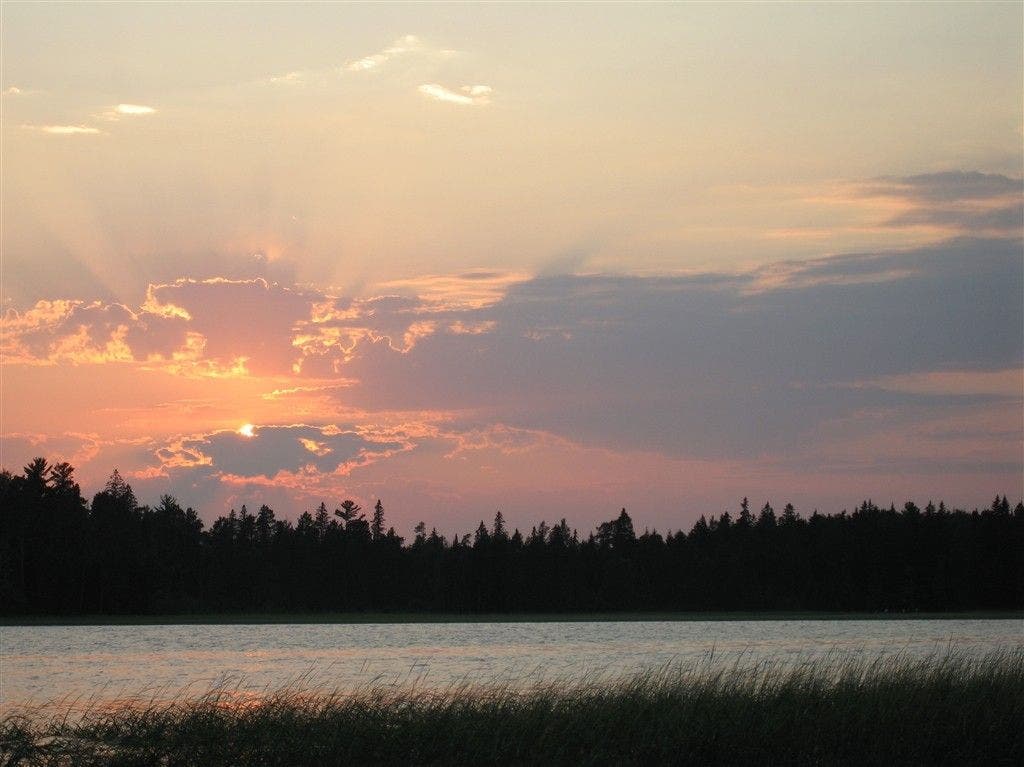
Sunset over the headwaters of the Big Muddy
Location: 47.2361068725586, -95.1997604370117
A fiery-yellow orb slinks below the horizon, just above where the Mississippi River starts its long journey to the Gulf of Mexico. ©Bob Wold
Pioneer Cemetary
Location: 47.2309455871582, -95.1954498291016
The graves of some of the first settlers to the area. ©Bob Wold
Marina
Location: 47.2317924499512, -95.1961212158203
Dusk at the often bustling marina on Lake Itasca. Rent bikes and watercraft here. ©Bob Wold
Sunset through clouds
Location: 47.2362861633301, -95.199821472168
The last rays of day stream through the cumulus. ©Bob Wold