Devil's Hopyard

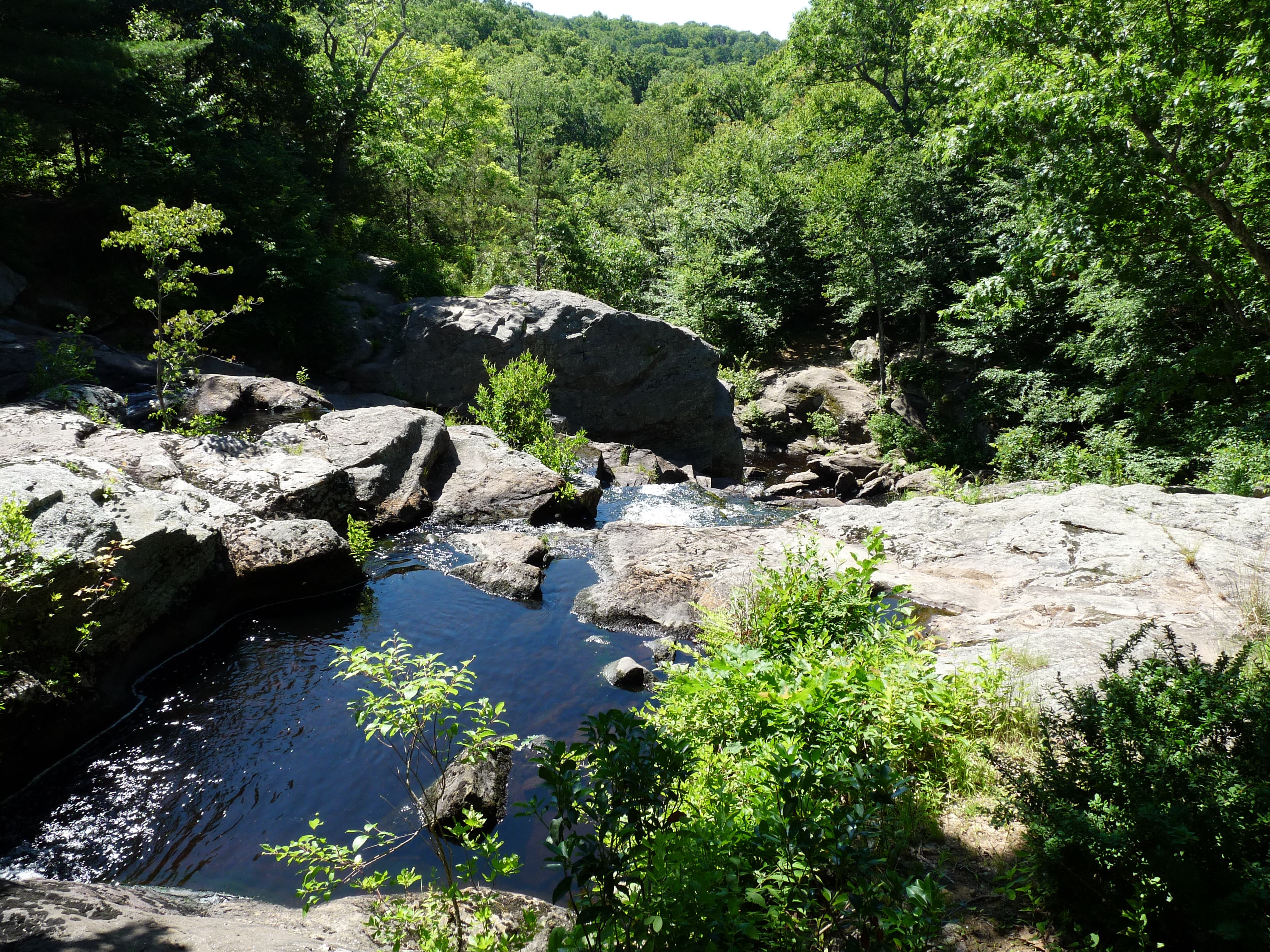
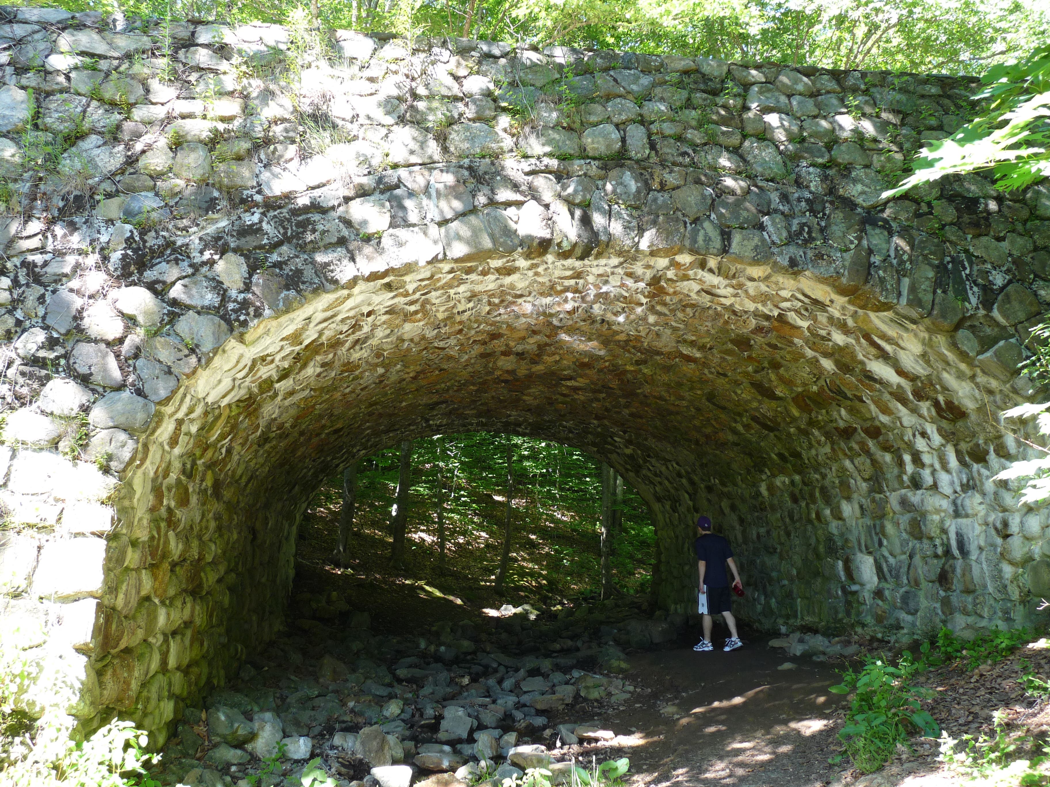
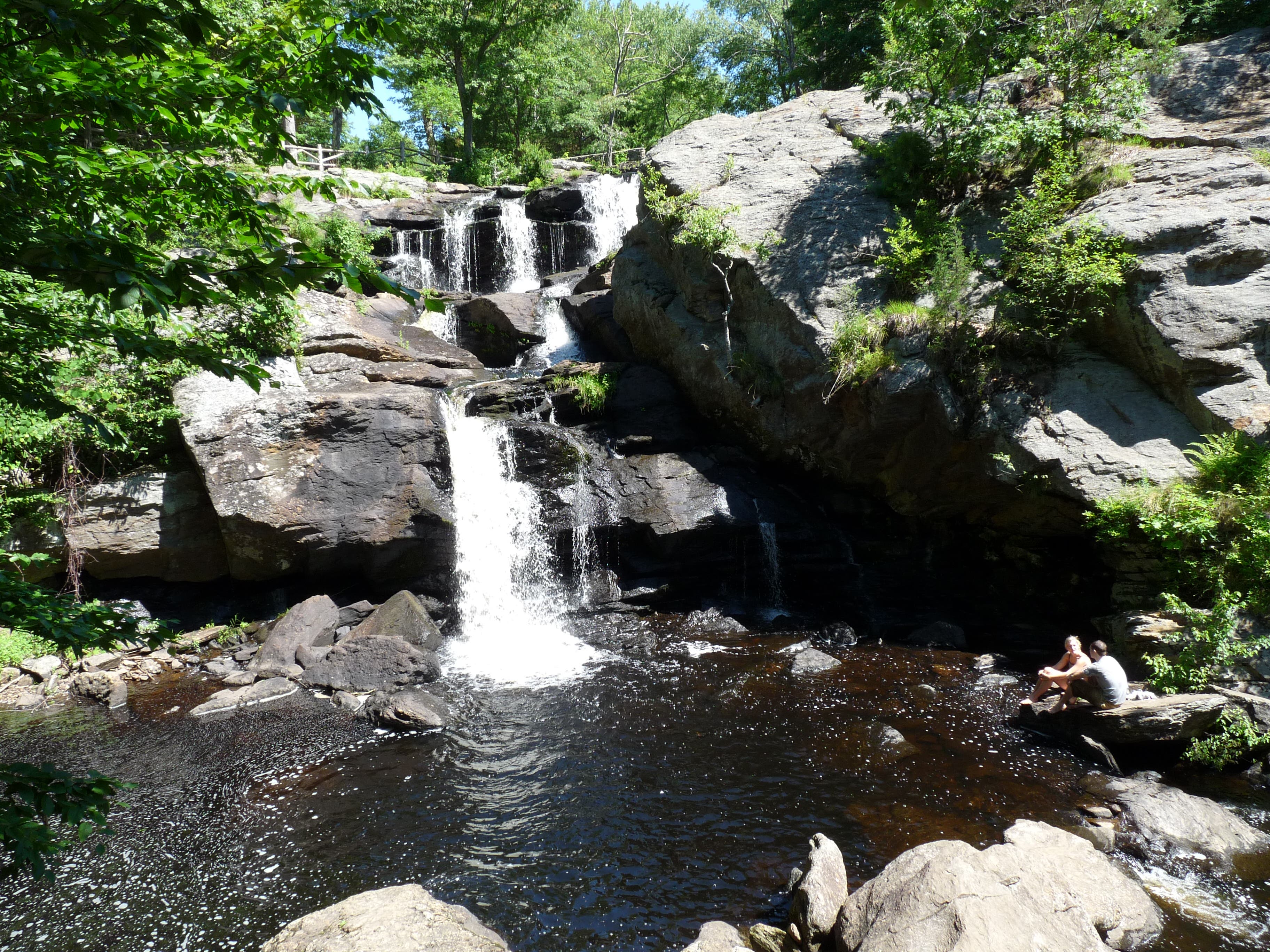
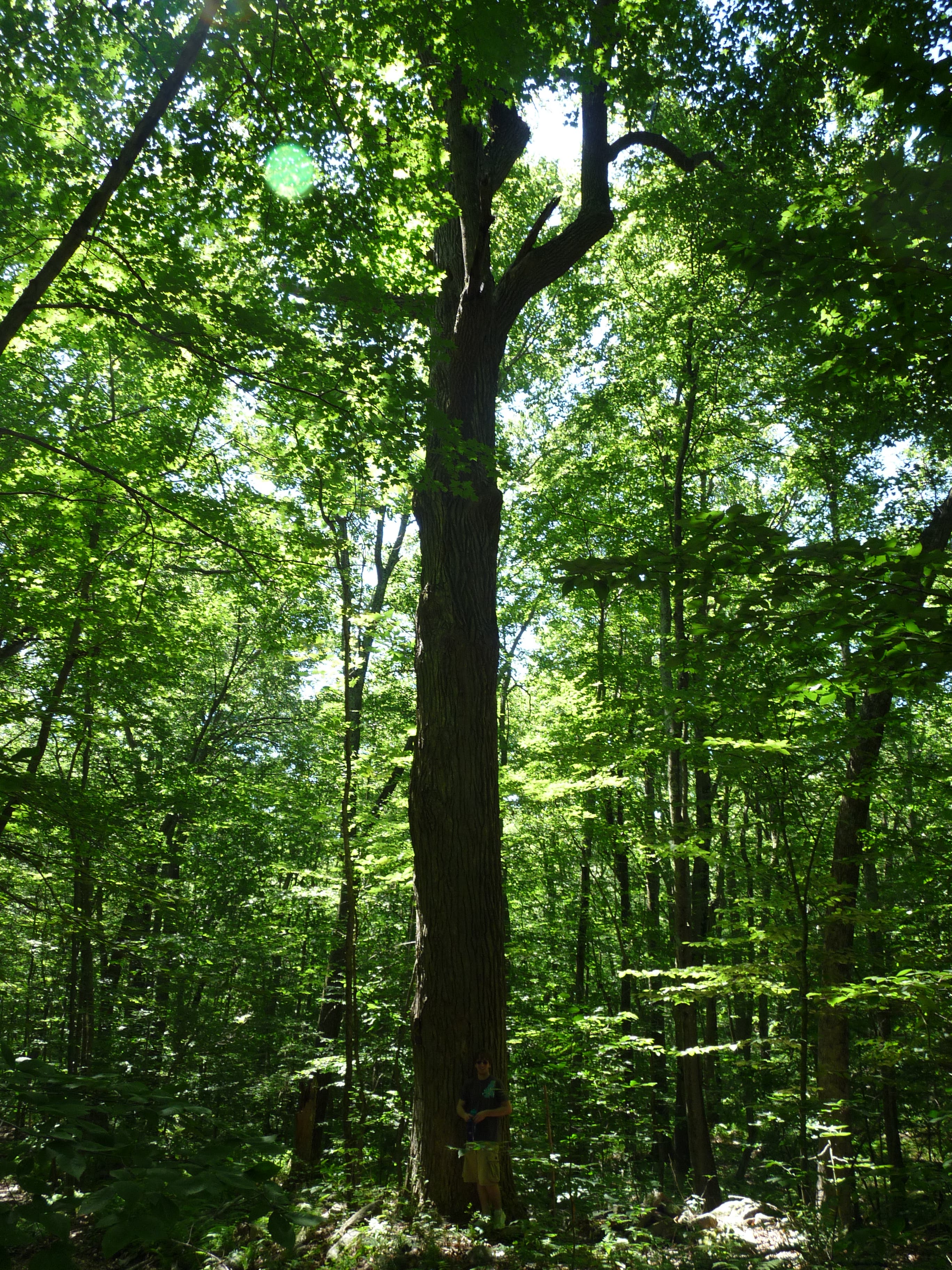
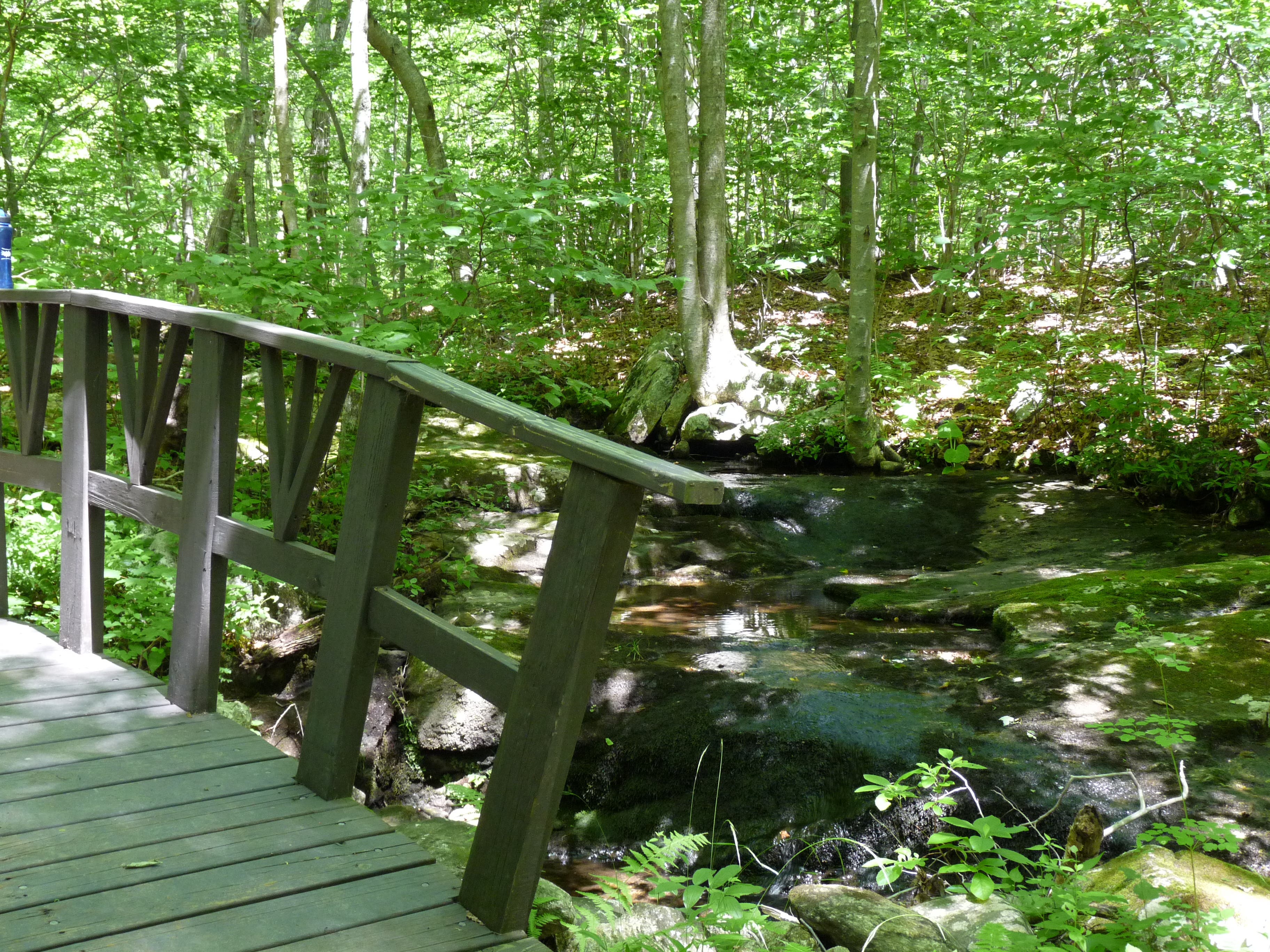
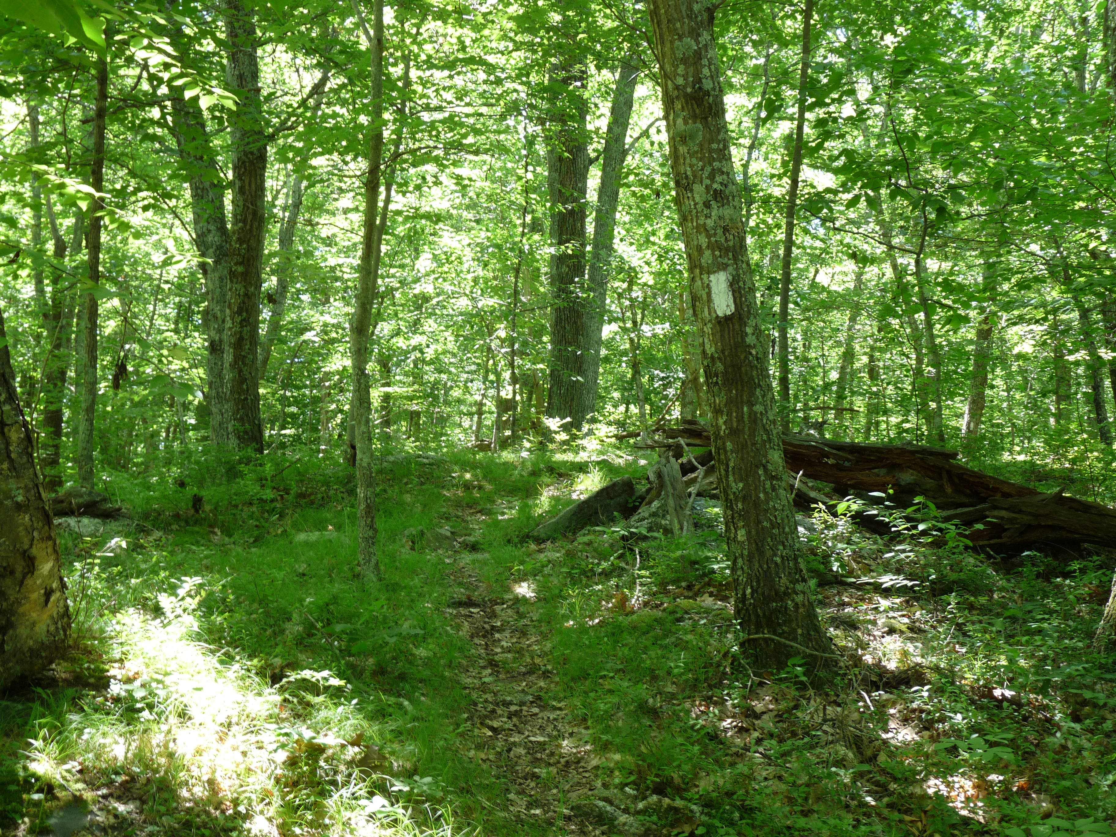
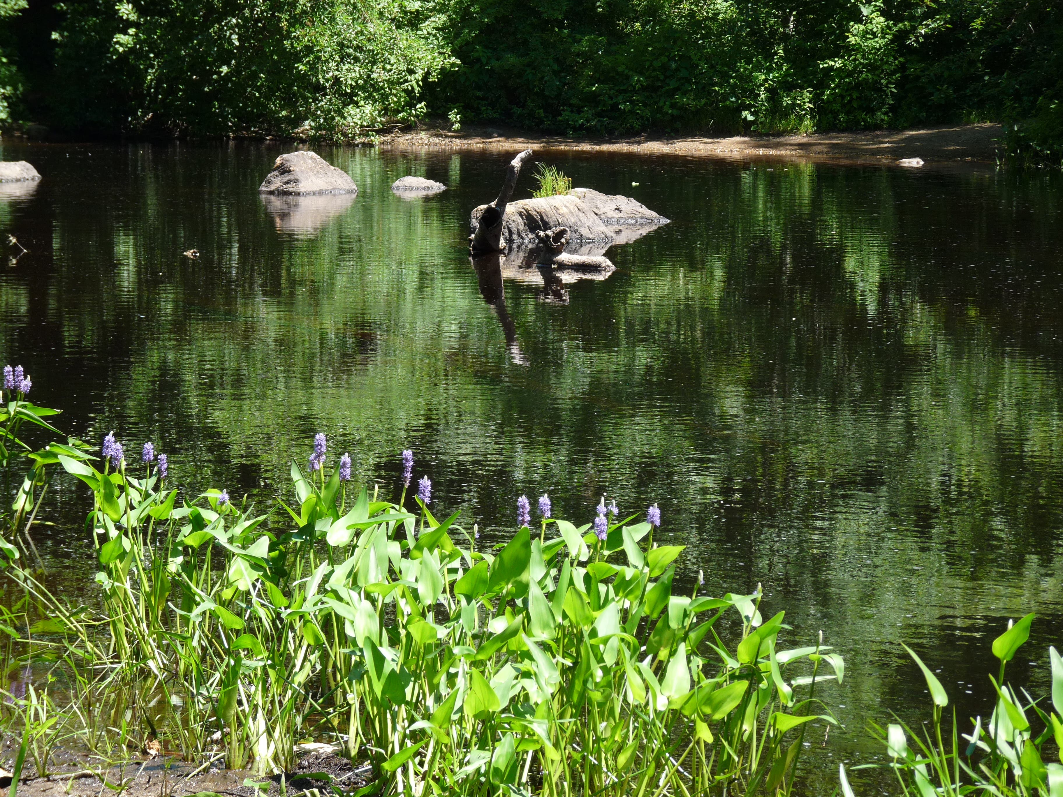
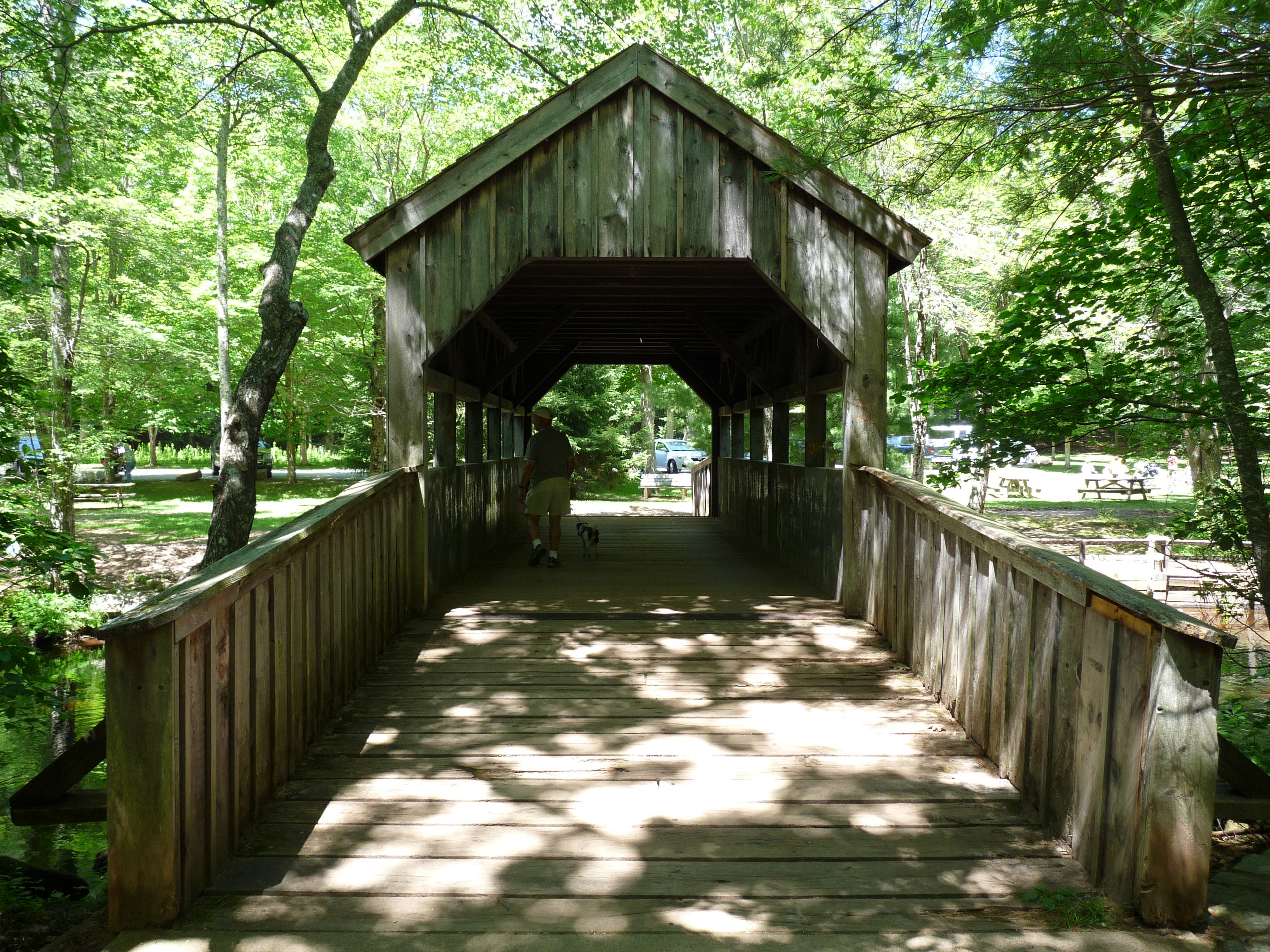
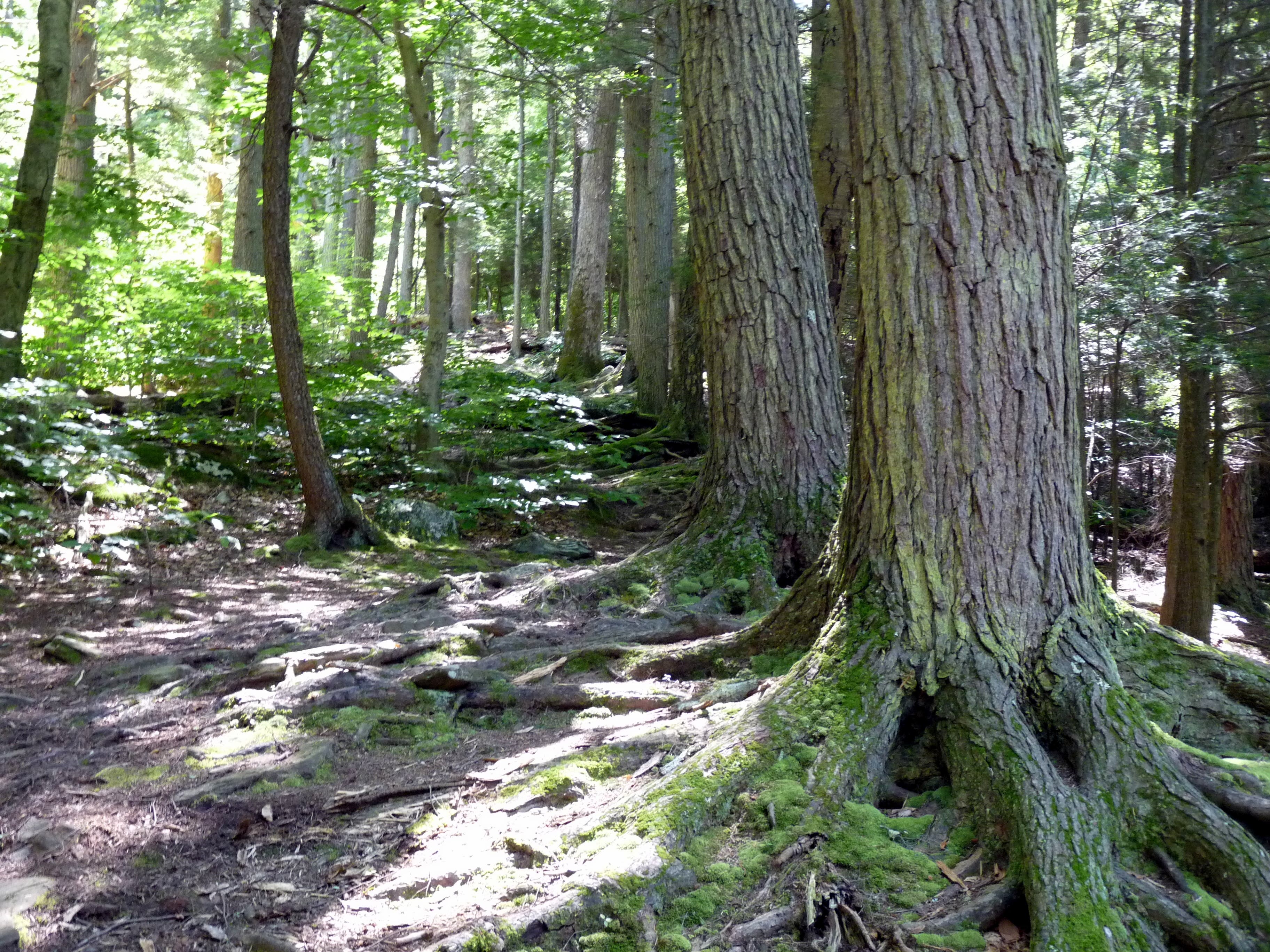
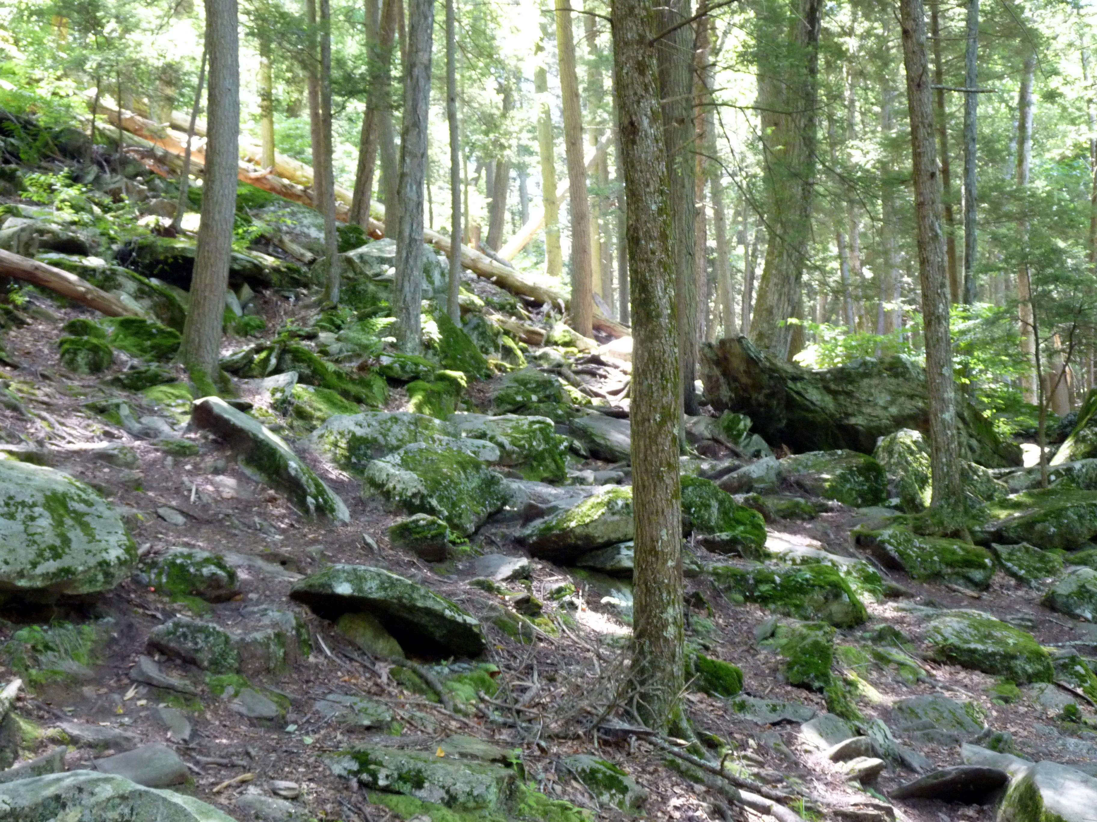
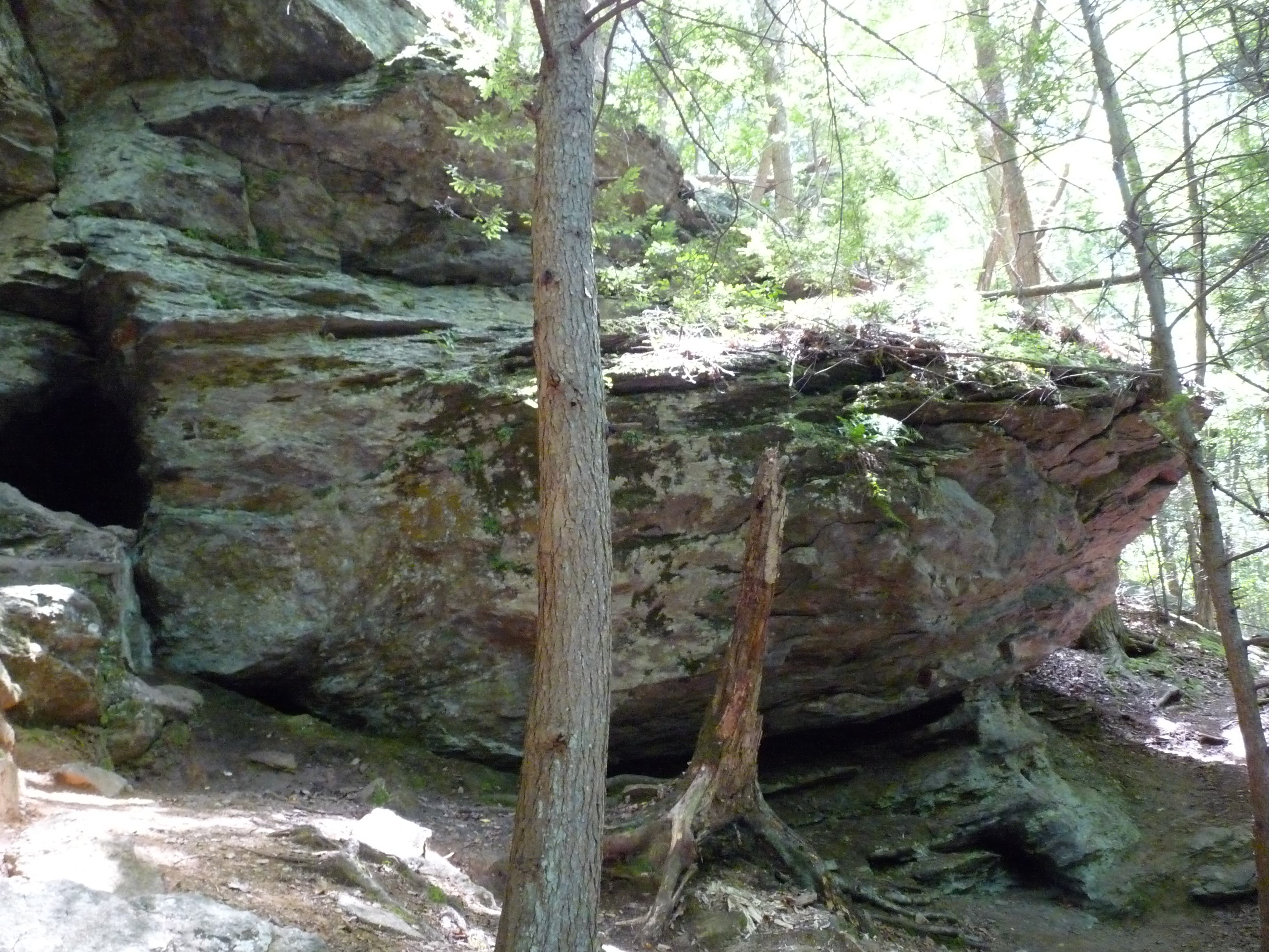
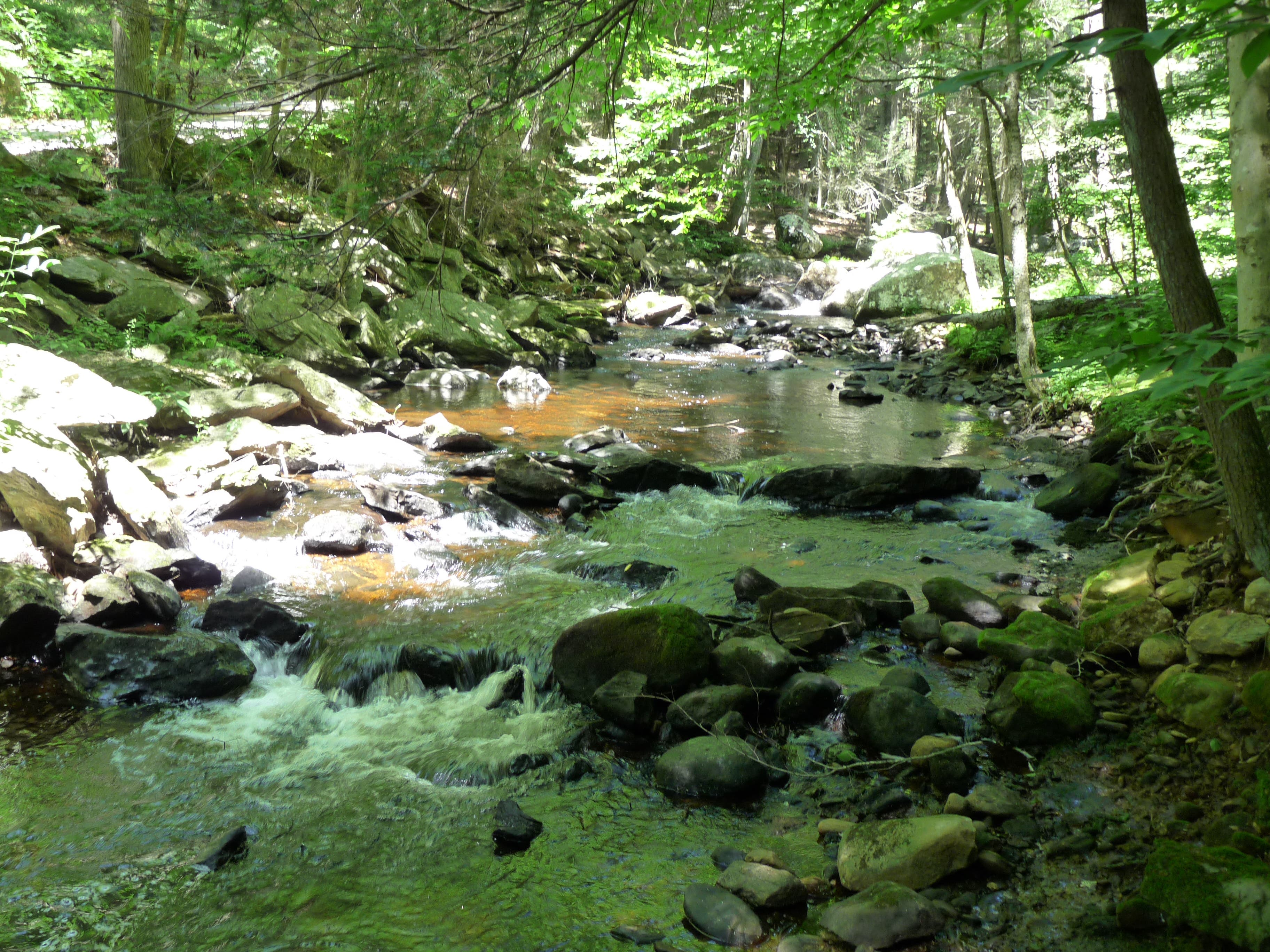
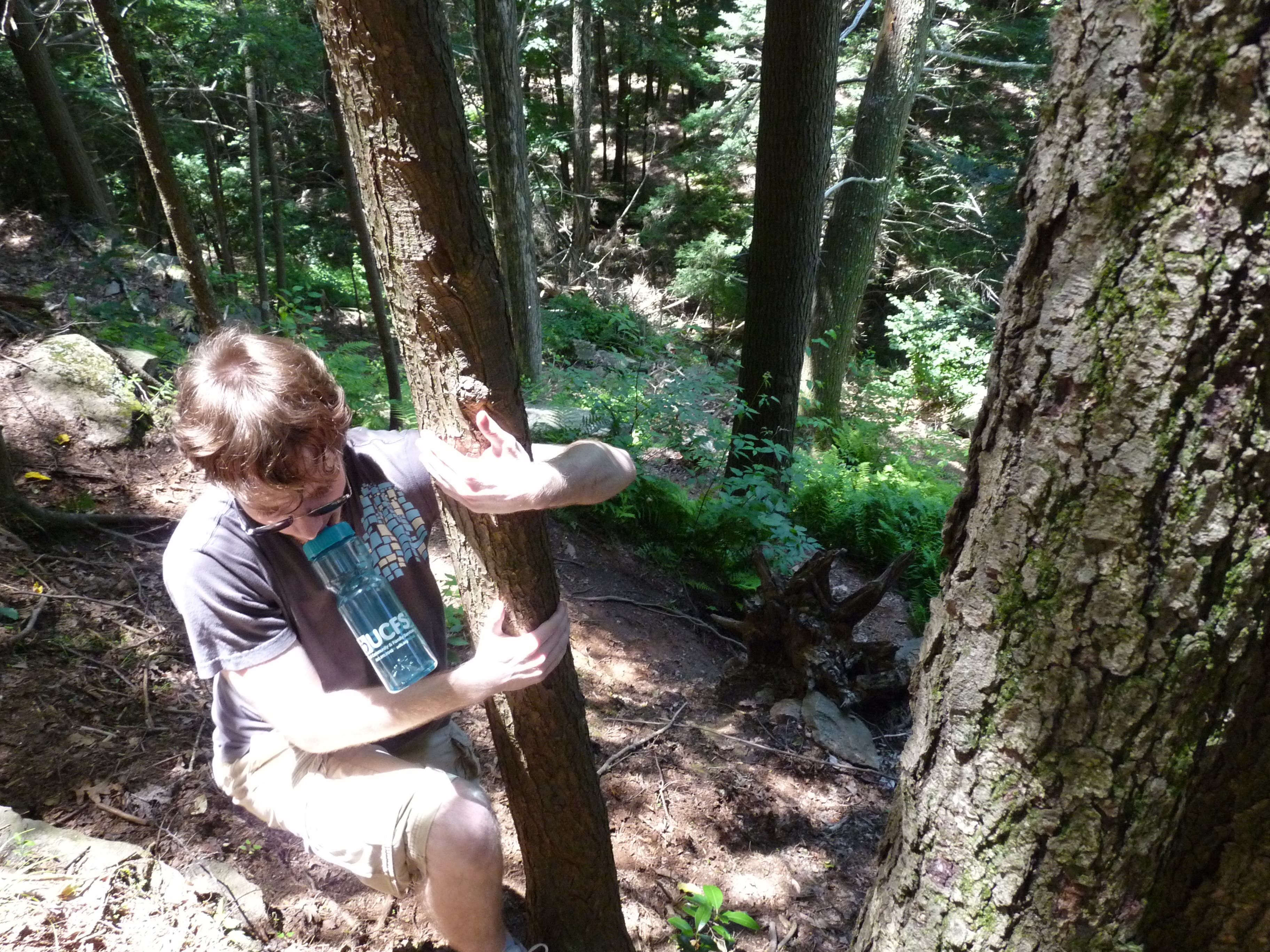
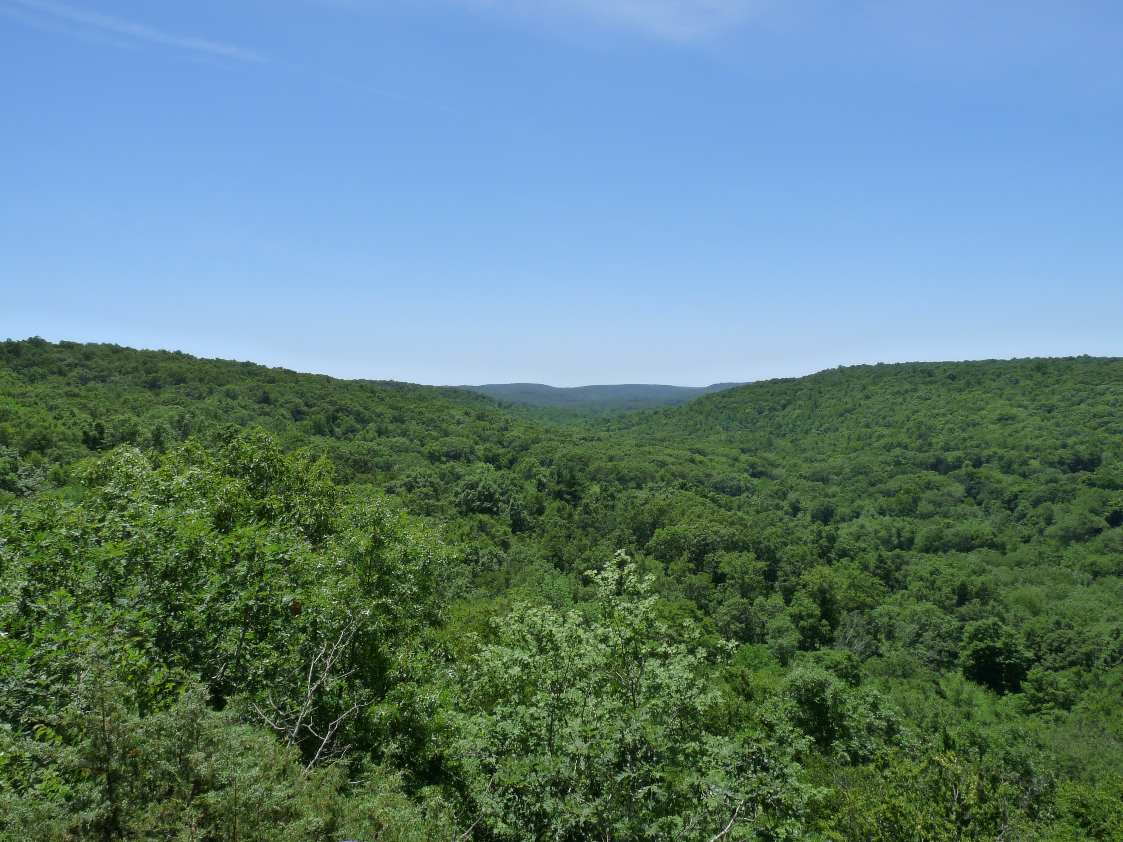
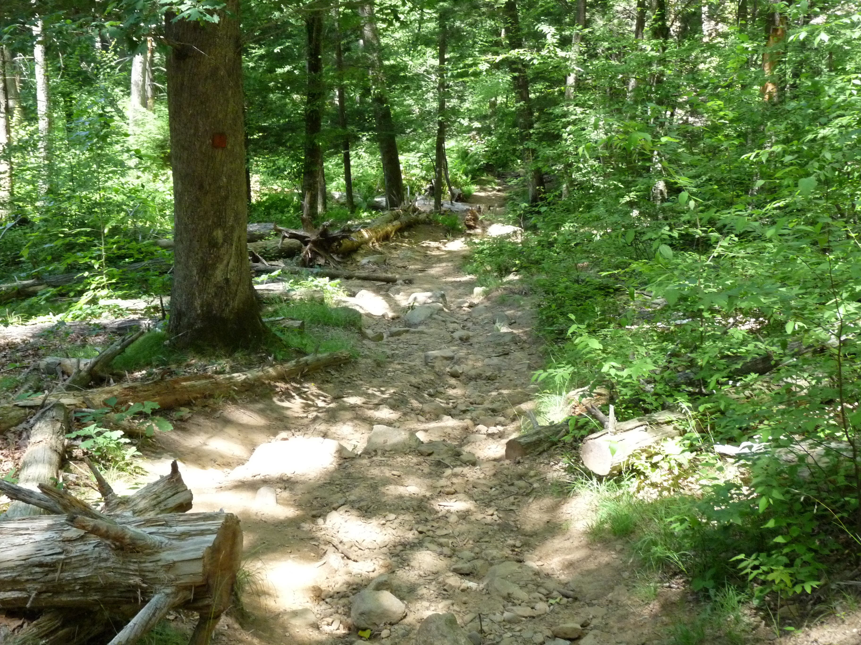
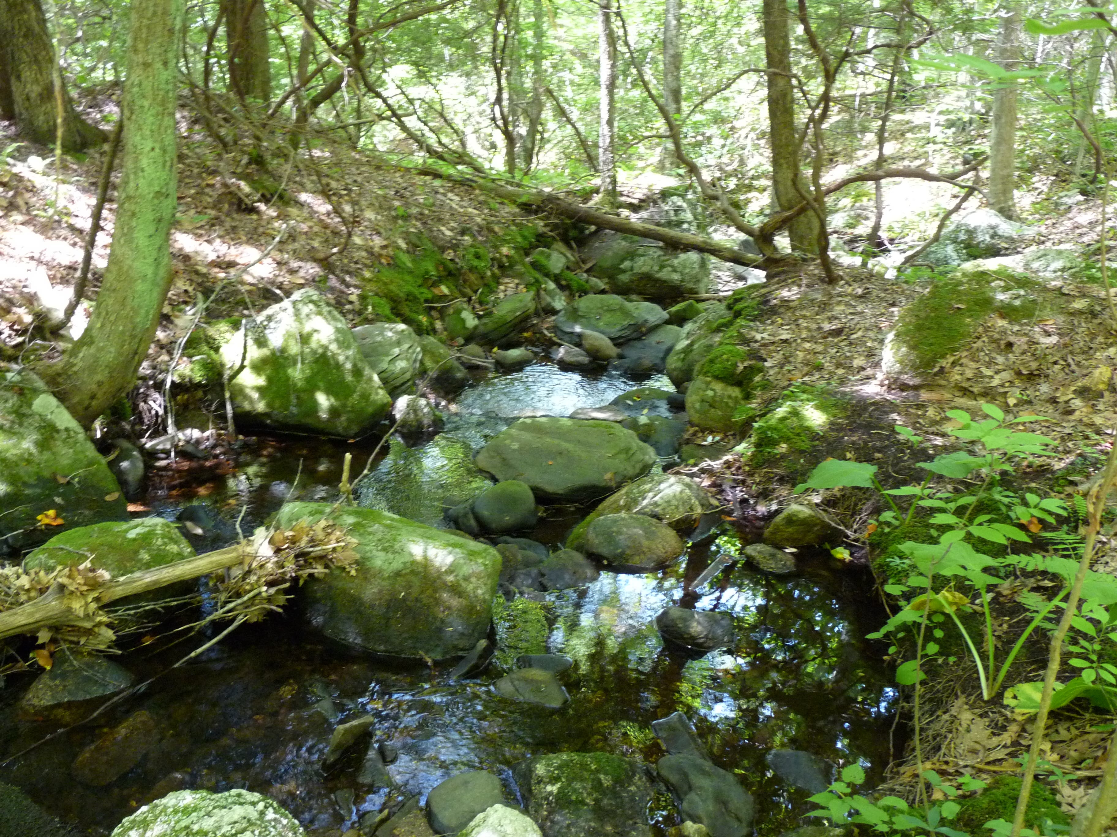
Park in the lot above the falls. Cross the road and walk along the falls on the right side passing by a stone arch on the right. The Red Trail breaks off on the right, follow it. It crosses Hopyard Road. Follow the Red Trail to where it comes to a point and switches back. Continue to follow the Red Trail, over a small bridge, and then turn left on the Green Trail. Take another immediate left on the Green Trail, and then follow the trail until it intersects the White Trail. Go right on the White Trail and follow it, crossing the Green Trail a couple times along the way. The White Trail will meet back up with the Red Trail where you should turn right to return to where you first joined the Red Trail. That concludes the part of the hike on the west side of Hopyard Road. The rest of the hike is on the east side of the road along Eightmile River and up on the ridge. Go right at the end of the Red Trail, then go left down some stairs, then right through a picnic area, then left across the covered bridge. At the other side of the covered bridge, go straight to the vista. From here, follow the trail to the vista (there are trail markers that will direct you). Initially, the trail follows the river which is really beautiful with lots of moss covered rocks and tall evergreens. A trail marker will direct you on a short detour to Devil’s Oven, a small cave in a cliff. This is strenuous, very steep side trip, but it is fun and the cave is kind of neat, so I would recommend it. You can either continue to follow the trail to the vista, or you can continue along the river until you are even with the vista, then turn left and climb up the hill. This is a challenging ascent that requires the use of hands. When you come upon the trail, turn right to the overlook over the valley to the south. It is a really beautiful sight so I would recommend bringing a plum or nectarine to enjoy up there. Take the spur back to the Orange Trail loop. Turn right to take the upper half of the Orange Loop back to the parking lot. The trail will split again after a bit, stay right. The trail will hit a small stream and follow that for a bit with a trail branching off to the right. Ignore it, stay straight, and you will arrive at the base of the falls. Climb up the rocks (not the steep rocks in sight of the falls but the ones a little tucked away that look more used by hikers), and turn left to return to the car.
Trail Facts
- Distance: 7.3
Waypoints
Arch
Location: 41.483859, -72.342235
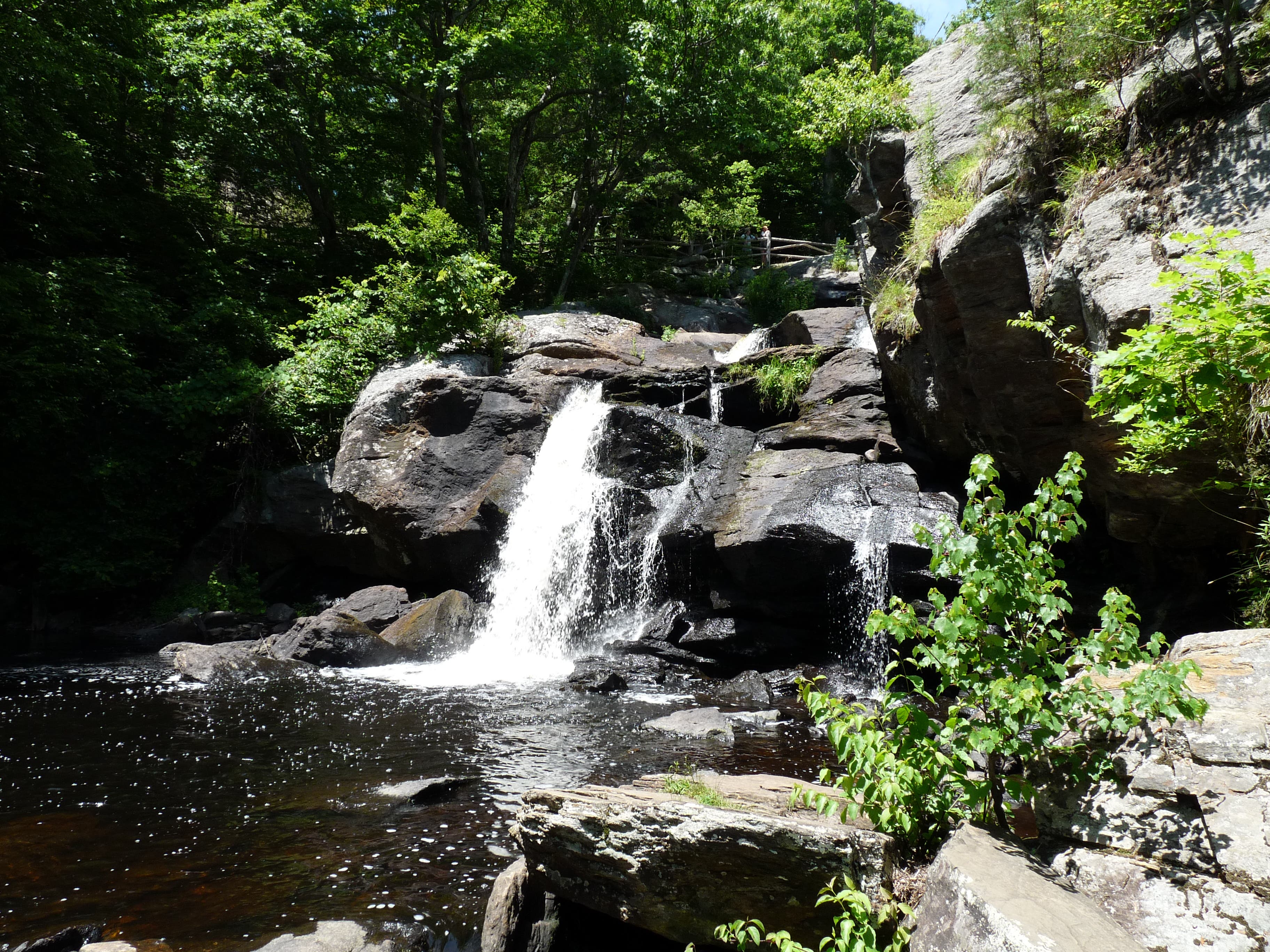
Chapman Falls
Location: 41.483714, -72.341806
R on Red Trail
Location: 41.483328, -72.341999
Red Trail Switchback
Location: 41.481415, -72.351762
Small Bridge
Location: 41.478618, -72.348694
L on Green Trail
Location: 41.477364, -72.346312
R on White Trail
Location: 41.47939, -72.347299
R on Red Trail
Location: 41.481399, -72.344209
L Down Stairs
Location: 41.483087, -72.341634
R through picnic area
Location: 41.482943, -72.341334
Cross Covered Bridge
Location: 41.482123, -72.341033
Trail follows river
Location: 41.479808, -72.33936
Devil’s Oven
Location: 41.477284, -72.339317
Turn left up hill and off trail
Location: 41.472171, -72.338072
Vista
Location: 41.47185, -72.336098
R on Orange Trail
Location: 41.472702, -72.33627
Stay Straight to Falls
Location: 41.481689, -72.33584
The trail follows a small stream
Location: 41.482701, -72.338458
P1040435.JPG
Location: 41.484068, -72.341806
P1040437.JPG
Location: 41.483827, -72.342192
P1040439.JPG
Location: 41.483682, -72.341741
P1040450.JPG
Location: 41.481319, -72.351676
P1040451.JPG
Location: 41.478602, -72.348651
P1040454.JPG
Location: 41.479084, -72.345175
P1040457.JPG
Location: 41.482927, -72.341334
P1040458.JPG
Location: 41.482107, -72.341055
P1040462.JPG
Location: 41.47976, -72.339381
P1040468.JPG
Location: 41.47849, -72.339853
P1040472.JPG
Location: 41.477268, -72.339338
P1040476.JPG
Location: 41.473136, -72.339081
P1040477.JPG
Location: 41.472091, -72.337364
P1040481.JPG
Location: 41.471834, -72.336141
P1040486.JPG
Location: 41.475982, -72.336463
P1040490.JPG
Location: 41.481801, -72.335969
P1040492.JPG
Location: 41.483666, -72.341613