Denver: North Halfmoon Lakes

Mapped by Timm Paxson
Trail Facts
- Distance: 4.7
Waypoints
NHL001
Location: 39.1533508300781, -106.463272094727
Go N from trailhead under a tall evergreen canopy
NHL002
Location: 39.1581764221191, -106.471153259277
Follow trail NW along North Halfmoon Creek’s clear waters
NHL003
Location: 39.1611442565918, -106.4736328125
Pass remnants of abandoned buildings; multiple streams flow across trail
NHL004
Location: 39.1646385192871, -106.47583770752
Wind through green, vibrant meadows, heading N
NHL005
Location: 39.1668090820312, -106.47713470459
Trail curves NW
NHL006
Location: 39.1678771972656, -106.479232788086
Pass 2 large cairns; refill water bottles in numerous side streams feeding into Halfmoon Creek on L
NHL007
Location: 39.1690330505371, -106.482414245605
Scale massive boulder on trail; use your hands to steady yourself
NHL008
Location: 39.1713027954102, -106.487915039062
Head N; follow trail between two tree trunks
NHL009
Location: 39.1725807189941, -106.488250732422
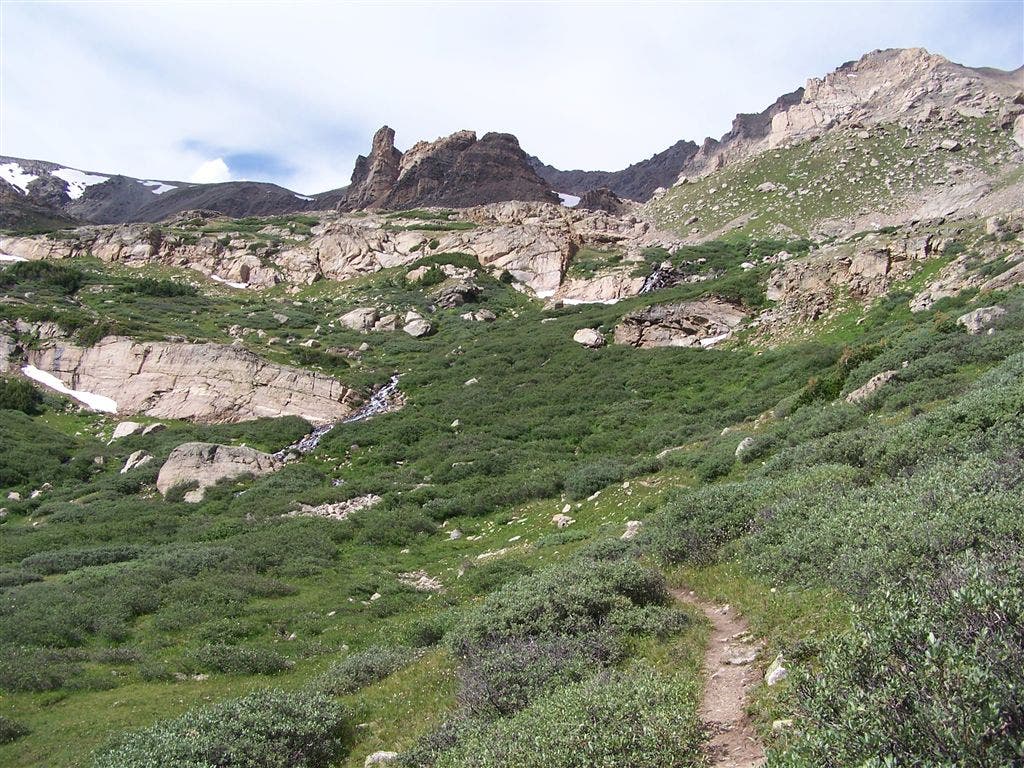
Dirt trail parallels stream that cascades over rocks on its way down basin; campsites are tucked between trees on R
NHL010
Location: 39.1754913330078, -106.488800048828
Head N above treeline past stunted trees; Mt. Massive, Colorado’s 2nd highest peak, creates a daunting barrier. Up ahead, moderate climb to lakes
NHL011
Location: 39.1806564331055, -106.491058349609
North Halfmoon Lakes: These 2 emerald pools are protected on 3 sides by cliffs and exposed scree slopes. Mt. Oklahoma’s pyramid shape is rugged backdrop; retrace route
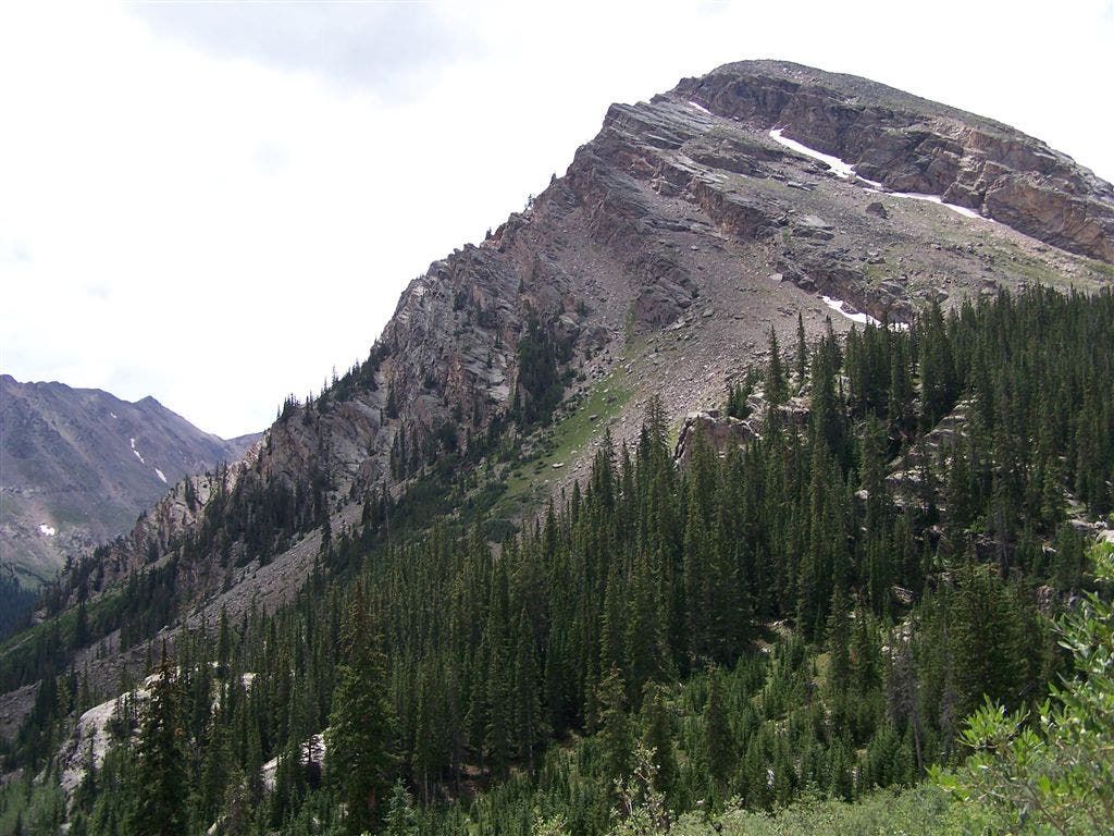
Trailhead Views
Location: 39.1533699035644, -106.463233947754
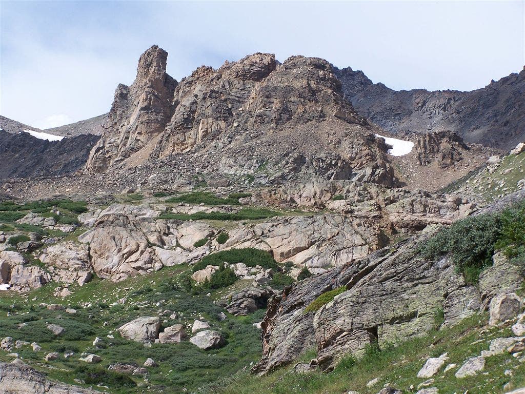
Unnamed 13,000-ft. peak W of Halfmoon trailhead. ©Timm Paxson
Mt.Oklahoma & one of the Halfmoon Lakes
Location: 39.1806030273438, -106.49104309082
©Timm Paxson
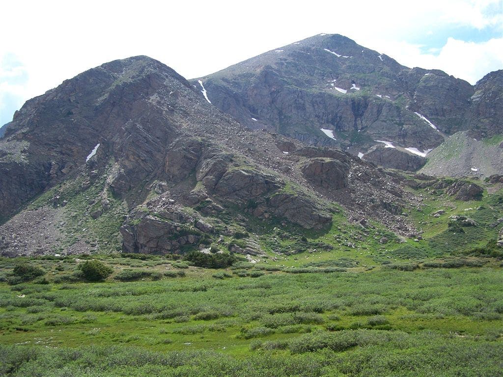
Mt. Oklahoma
Location: 39.1769371032715, -106.489685058594
Looking W toward Mt. Oklahoma from meadow near North Halfmoon Lakes. ©Timm Paxson
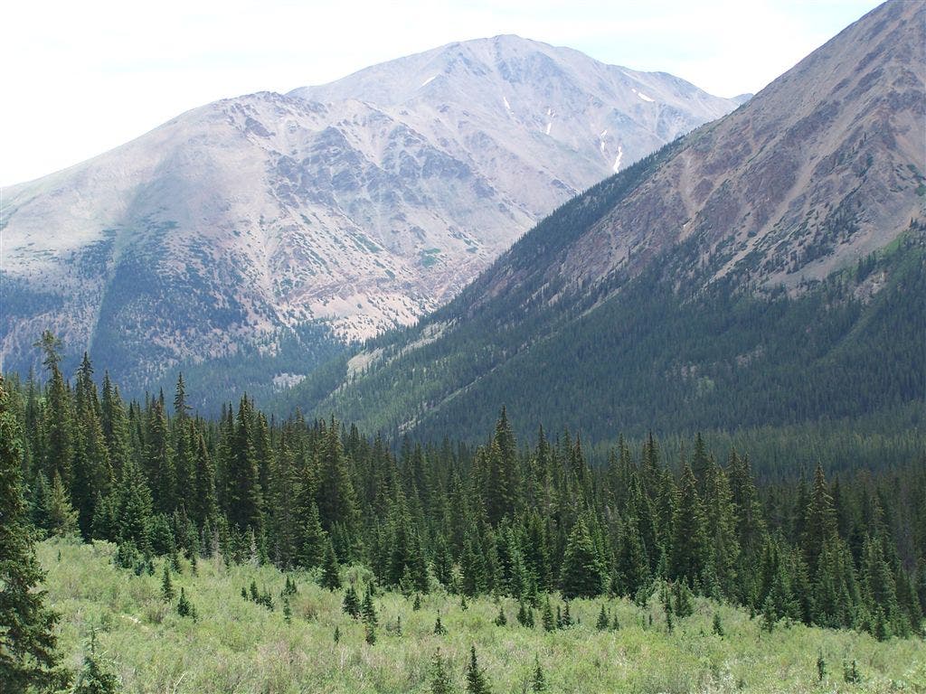
Views toward Mt. Elbert
Location: 39.1735877990723, -106.487640380859
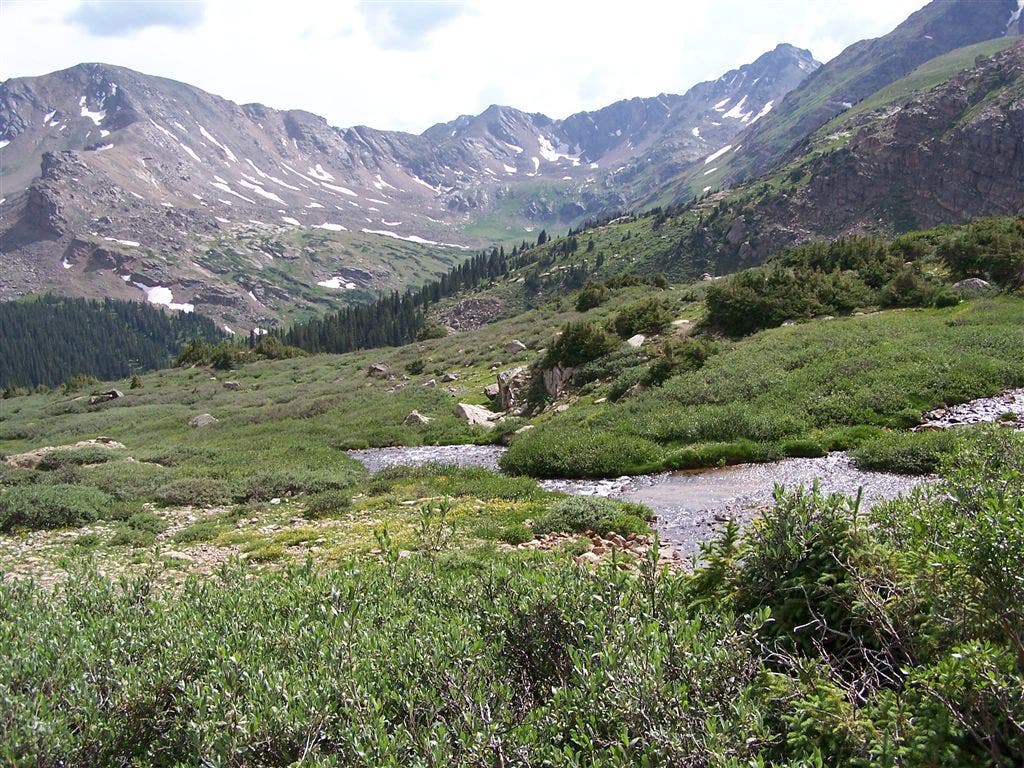
Looking S from North Halfmoon Creek drainage. ©Timm Paxson
North Halfmoon Creek Drainage
Location: 39.1794013977051, -106.48957824707
Looking NW. The peak in the background is North Massive. ©Timm Paxson
Towering Cliffs
Location: 39.1809692382812, -106.491722106934
Looking N toward cliffs just above the North Halfmoon Lakes. ©Timm Paxson
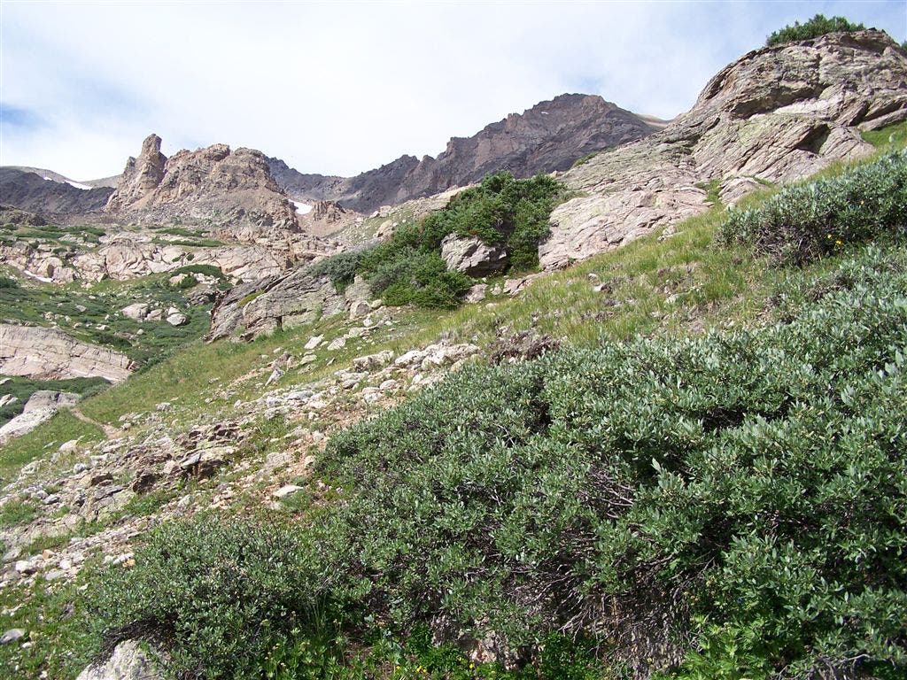
The Southwest Bowl
Location: 39.1718597412109, -106.48811340332
Looking down North Halfmoon drainage at the southwest bowl. ©Timm Paxson
Cascading stream
Location: 39.1725921630859, -106.488212585449
©Timm Paxson