Denver, CO: Lost Creek Wilderness Loop

This route begins at the Lost Park trailhead and follows Lost Creek east crossing several meadow streams and cresting a saddle to a string of beaver ponds. You’ll turn south on the Goose Creek Trail and wind through aspen and pine to an overlook of a granite-filled valley. Steep switchbacks drop sharply toward Refrigerator Gulch and several valley campsites before the long climb begins near the loop’s halfway point.
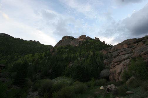
The path switchbacks uphill before turning west on the Brookside-McCurdy trail below towering granite massifs—popular climbing destinations. The uphill slog eases at a treeline saddle and from there it’s 3.5 miles of easy-grade traversing below McCurdy Mountain to the route’s high point. The above treeline stretch offers spectacular views of the Continental Divide to the west, and glimpses of Pike’s Peak to the east. Below Bison Peak the trail turns downhill for the final meadow-skirting stretch that bee-lines north toward the trailhead.
Though this trip is possible as a one-nighter, campsites abound: consider spending extra time exploring, climbing, and enjoying views along the way. And, bring cash to pay overnight parking fees at the trailhead.
-Mapped by Kristy Holland
PLAN IT
MAP:
>> Order the USGS topo quads listed above at store.usgs.gov.
>> Order a custom map of this route by selecting the “Print MyTopo” option in the left-hand menu bar.
>> For more information on detailed USGS maps, contact the individual Ranger District office that covers the area that you are interested in visiting. The Lost Creek Wilderness is managed by two different Ranger Districts. South Platte Ranger District manages the east side and the South Park Ranger District manages the west side.
CONDITIONS: Check weather for Jefferson, CO (80456) Weather
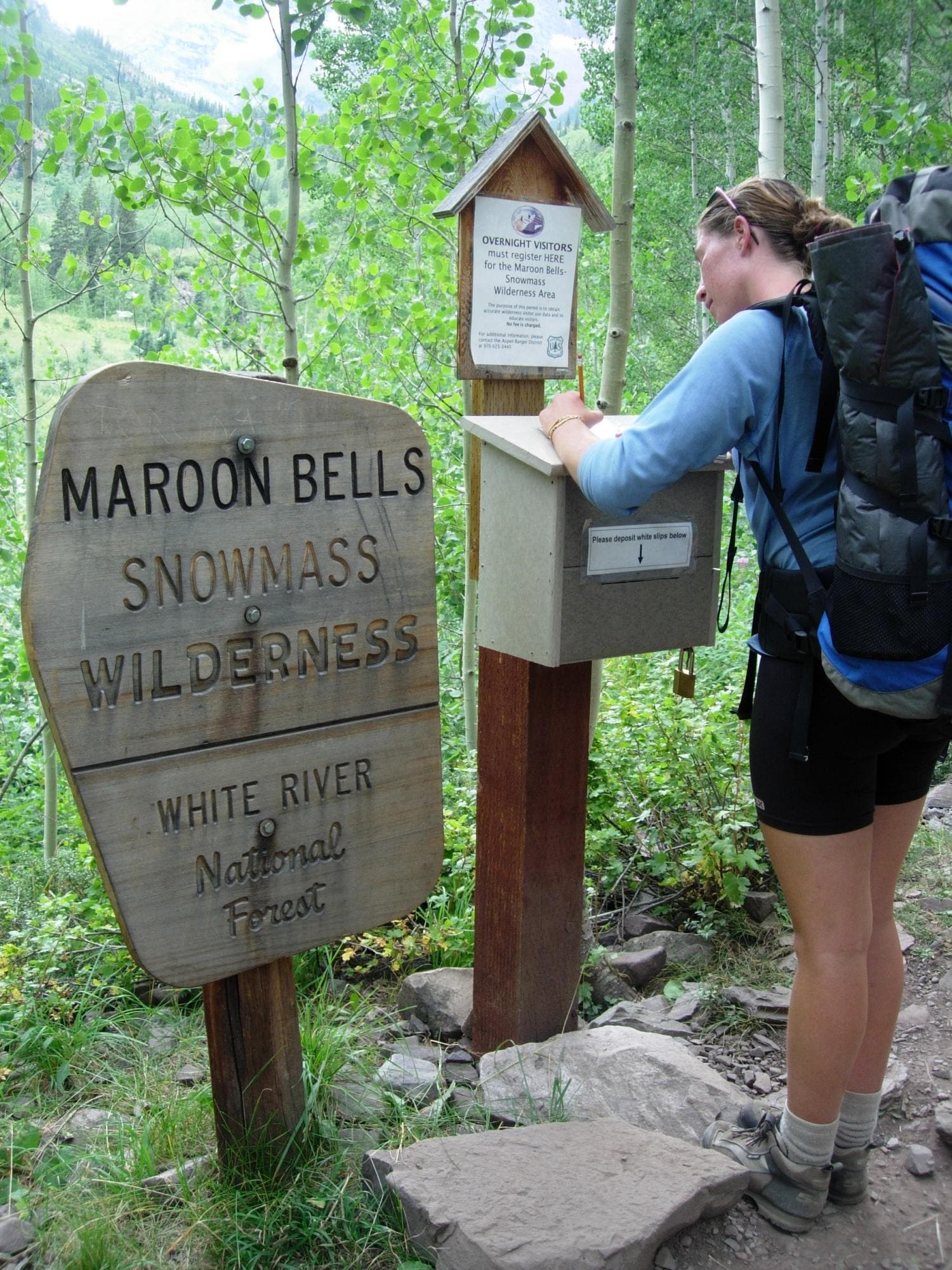
PERMIT: No permit is required to access Lost Creek Wilderness. Sign in at the trailhead when entering and sign out upon departure.
INFO: For more information on the Lost Creek Wilderness, go to Pike and San Isabel National Forests website.
OTHER RESOURCES
GAS
Jefferson Market
US Highway 285
Jefferson, CO
(719) 836-2389
jefferson-market.com
GEAR
REI
1416 Platte St.
Denver, CO
(303) 756-310
rei.com
GROCERIES
King Soopers
17171 South Golden Road # A
Golden, CO 80401
(303) 279-5458
kingsoopers.com
RESTAURANTS
Cut Throat Cafe
157 Main St.
Bailey, Colorado 80421
(303) 816-5099
Hog Heaven Pit Bar-B-Que
63658 US Highway 285
Bailey, CO 80421
(303) 838-8814
hogheavenbar-b-que.com
Trail Facts
- Distance: 44.4
Waypoints
LCL001
Location: 39.284264, -105.508384
Park at the first lot in Lost Park, but walk east through the campground to begin the hike at the Wigwam Trailhead. The campground has a pit toilet and self-registration kiosk, but no water.
LCL002
Location: 39.281891, -105.501999
Sign the log book at the wilderness boundary before proceeding alongside Lost Creek as the trail turns south.
LCL003
Location: 39.26759, -105.466866
The trail crosses several creeks on small log bridges before and after this Y-junction at mile 3.5. Stop for a snack break on the rocky outcropping perched at the base of the valley, but continue left on the Wigwam Trail through to continue on this route.
LCL004
Location: 39.277037, -105.434637
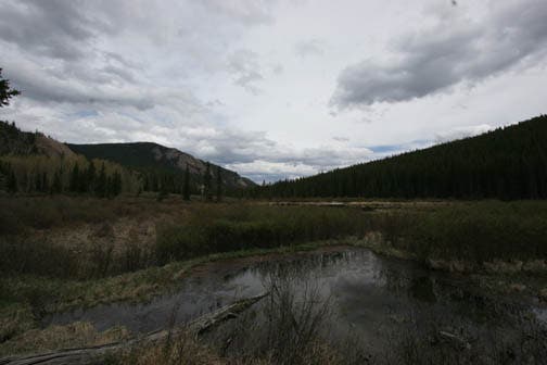
Atop the saddle small aspen grow around deadfall. Up ahead, you’ll come to the first of several beaver ponds alongside the trail.
LCL005
Location: 39.274901, -105.421791
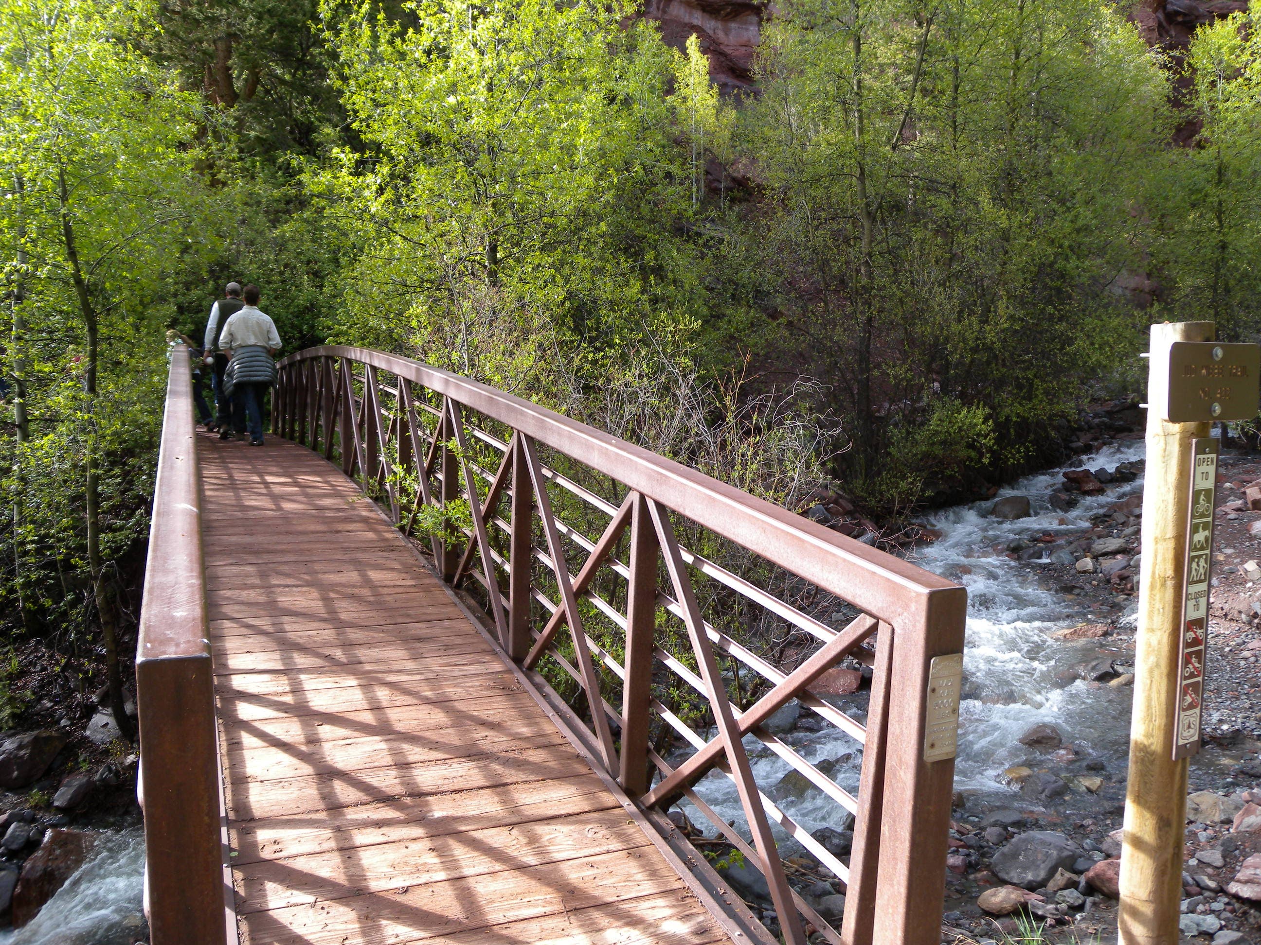
You’ll cross more than a dozen streams on this loop, but log and stone bridges will keep you from getting wet most of the time. In early summer, muddy paths are a more likely culprit for soaked boots. After this bridge at mile 6.7, there’s a picturesque riverside campsite.
LCL006
Location: 39.271287, -105.411293
Bypass the Rolling Creek Trail at this 3-way junction at mile 7.3.
LCL007
Location: 39.266523, -105.40139
Turn right at this 3-way junction onto the Goose Creek Trail. You’ll pass several campsites in the next quarter-mile and climb 2 miles beneath granite spires and balancing rocks to a viewpoint.
LCL008
Location: 39.239772, -105.402553
From this overlook the trail switchbacks 1.5 miles downhill losing more than 1,000 feet.
LCL009
Location: 39.232159, -105.407251
Bear right at this Y-junction to continue downhill on the McCurdy Trail.
LCL010
Location: 39.234641, -105.416695
Several well-used trails meander through Refrigerator Gulch. The campsite here can accommodate several tents. To continue, bear right and follow the main trail uphill to the west.
LCL011
Location: 39.239113, -105.425782
After this small creek crossing you’ll pass an established campsite about 50 yards off the trail to the left.
LCL012
Location: 39.237465, -105.431384
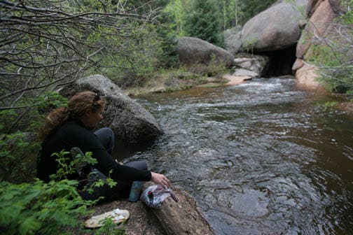
This campsite at mile 13.3 is a favorite. It’s placed badly for a 2-night trip (perfect for a 1-nighter), but even if you continue hiking, stop to enjoy the winding creek that flows out of the rocky hillside. There are a few more campsites in the next valley to the west.
LCL013
Location: 39.2394, -105.435619
After this bridge, the trail turns uphill and begins a long climb toward the route’s high point just before mile 22.
LCL014
Location: 39.235212, -105.441971
You’ll pass another campsite before at the base of this small ravine. There’s a beaver pond up ahead before the trail turns uphill again.
LCL015
Location: 39.217891, -105.448494
The climbing continues, but mellows as the trail enters a valley meadow. You’ll pass a couple of grassy campsites on your right and cruise below rugged granite-covered hills on both sides of the valley.
LCL016
Location: 39.204857, -105.452871
Turn right at this 3-way junction nestled between the Terryall and McCurdy Tower massifs. The Brookside-McCurdy Trail climbs a saddle to the west and then levels out for an above-treeline traverse below McCurdy Mountain.
LCL017
Location: 39.230457, -105.50446
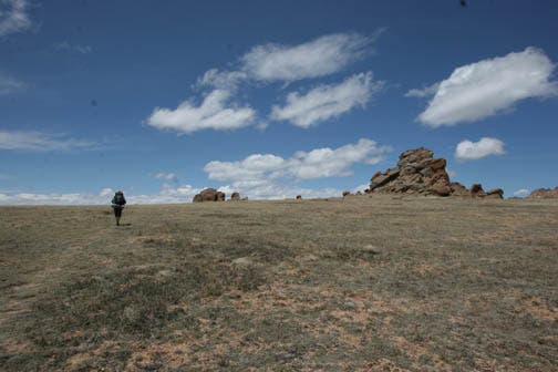
Continue the gentle climb through this alpine meadow to a panoramic view of the Continental Divide from the route’s high point just below 11,900 feet. The trail heads south from the saddle down several switchbacks toward treeline.
LCL018
Location: 39.226996, -105.51475
Turn right to stay on the Brookside-McCurdy Trail at this T-junction at mile 22.8. The trail ahead descends gently toward Indian Creek. There are several rock-hop crossings, but the trail sticks mostly to the valley’s east side.
LCL019
Location: 39.269869, -105.521099
At this gate, you’re less than 1.5 miles from the trailhead. Continue north and look for signs of civilization–the road, more hikers, and a wilderness registration kiosk–between here and loop end.
LCL020
Location: 39.281982, -105.509944
You’ll be able to see the trailhead parking area on your right, but to access it, turn left at this T-junction and cross a small creek, the trail loops eastward on it’s other side.
High Point
Location: 39.227865, -105.500851
A large alpine meadow leading up to picnic-perfect outcroppings and the route’s high point.
Wilderness Boundary
Location: 39.281915, -105.502106
Sign in, listing the people in your party and your anticipated destination, at the wilderness boundary.
Wigwam
Location: 39.267647, -105.466669
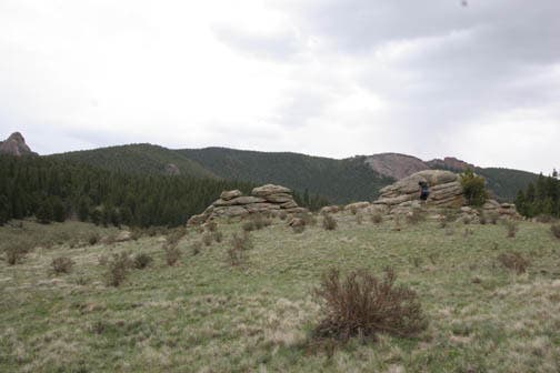
These small outcroppings are a good place to rest near the trail junction at mile 3.5.
Blow Down
Location: 39.276982, -105.43386
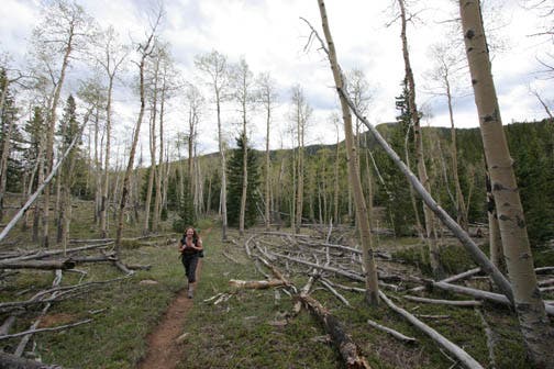
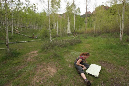
Near the summit of a small saddle, the young aspen forest grows around deadfall from a massive blow-down.
Beaver Ponds
Location: 39.274989, -105.427101
Looking east over the beaver ponds on the Wigwam Trail. You’ll pass three distinct beaver-pond areas before the Goose Creek junction.
Bridge
Location: 39.274889, -105.421865
Most of the bridges on this loop’s northern side are made of haphazard side-by-side logs. Watch your step!
Trail
Location: 39.271534, -105.412488
Winding downhill from a rocky outcropping (a great spot for lunch) before the Rolling Creek trail junction.
Refrigerator Gulch
Location: 39.234613, -105.416822
The aspen-shrouded meadow in Refrigerator Gulch is a prime campsite or rest spot just before mile 12.
Rocks
Location: 39.238469, -105.420299
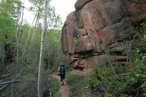
There are large rocks alongside and overhanging the trail heading south and west.
Lost Creek
Location: 39.237372, -105.431457
This wilderness area’s name comes from the disappearing nature of it’s major waterway. Here, the creek flows out of a cave. It’s not lost, afterall.
Camp
Location: 39.237372, -105.431371
This riverside campsite is well-established and perhaps the loop’s most appealing, but it is near the route’s half-way point making it a 13-14-mile trek from the trailhead to get here.
Aspen
Location: 39.233849, -105.442657
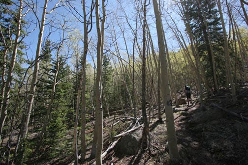
The trail switchbacks through aspen on the northern reaches of McCurdy Mountain’s north slope.
Junction
Location: 39.204857, -105.452957
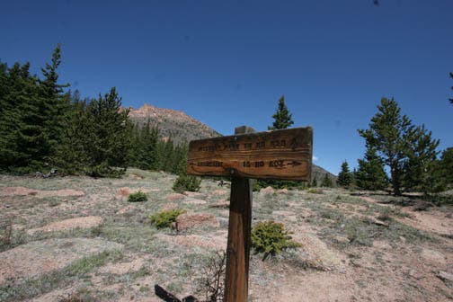
All of this route’s major junctions are signed, including this one on the saddle at McCurdy Park.
Saddle
Location: 39.206586, -105.461712
Wind and exposure to storms are major threats near treeline, be prepared for changing weather and try to start early to avoid potentially plan-changing conditions.
Burn Zone
Location: 39.210709, -105.474243
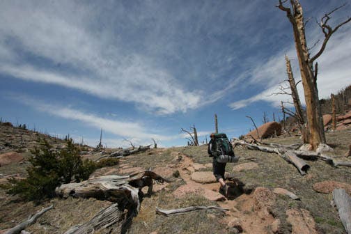
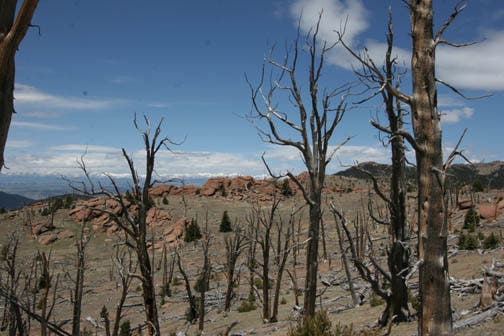
Damaged trees and sparse treeline vegetation line much of the route above 11,000 feet.
Wet Trail
Location: 39.220019, -105.484714
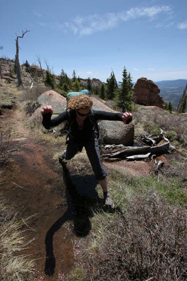
In early summer the above-treeline stretch of trail may also be wet. Be prepared for a little mud and occasional small creek crossings.
Blaze
Location: 39.244485, -105.516644
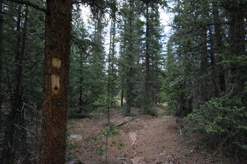
This hand-hewn blaze marks the trail, but the well-worn path is easy to follow when there’s no snow.
Meadow
Location: 39.250467, -105.516987
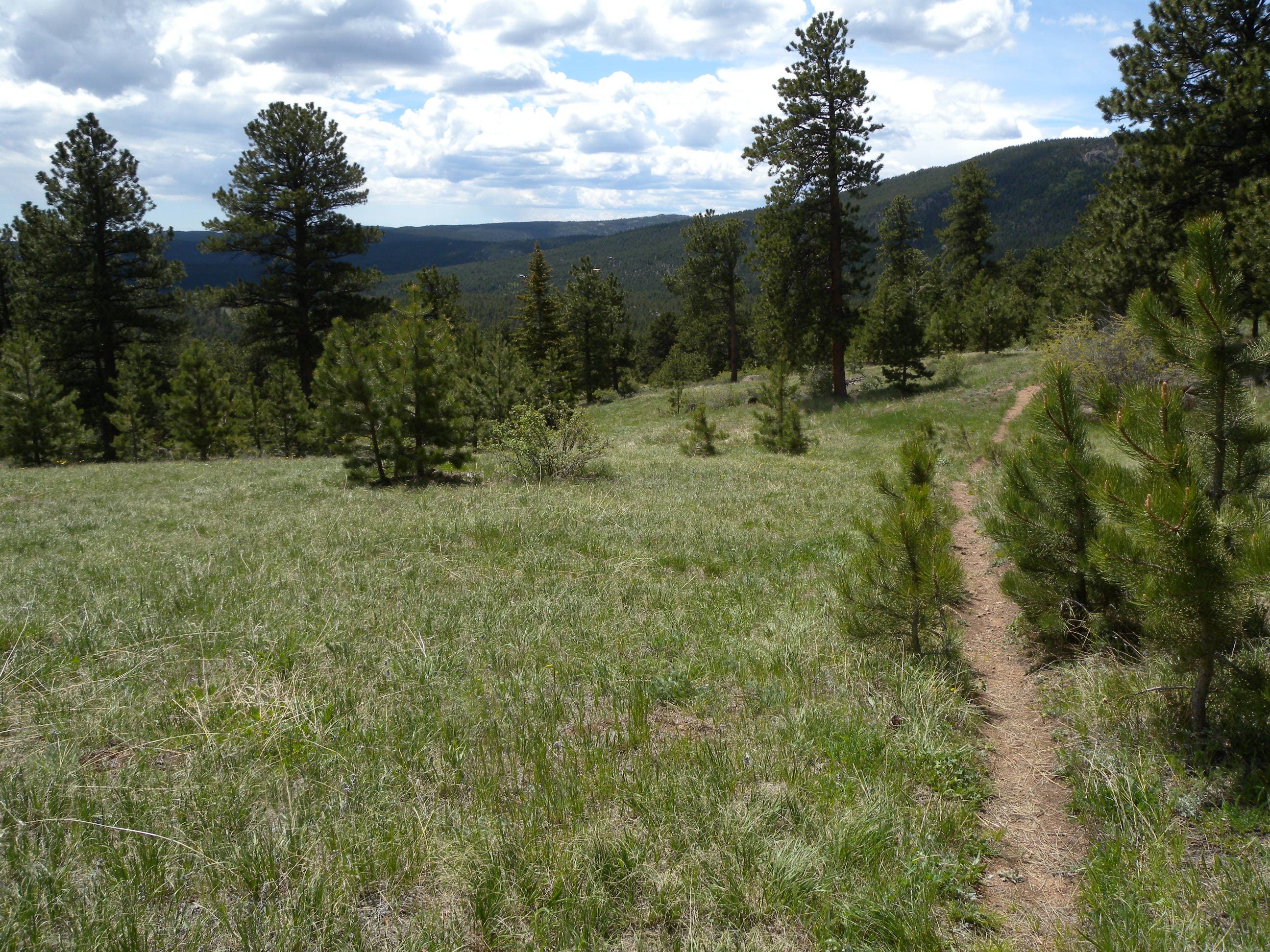
Indian Creek flows through a large meadow, but the trail stays mostly on its eastern side.