Denver, CO: Bison Peak Trail

-Mapped by Andrew Matranga


Trail Facts
- Distance: 12.4
Waypoints
BPK001
Location: 39.2847137, -105.5068741
Lost Park trailhead. Enter gate; descend to amber plains of South Fork Lost Creek
BPK002
Location: 39.2821198, -105.510582
Cross creek on rail-thin wooden footbridge
BPK003
Location: 39.2819633, -105.5099335
R @ Y following Brookside-McCurdy
BPK004
Location: 39.2800331, -105.5097504
Lost Creek Wilderness Area boundary. Hike beneath low-slung forest of lodgepole pine and spruce
BPK005
Location: 39.2698746, -105.5210419
Enter livestock gate; approach jct. of Willow Gulch and Indian Creek
BPK006
Location: 39.2572365, -105.5202942
Trail bends; continue S, skirting marshy riparian zone by Indian Creek. Photo op: Kenosha Mtns. soar into N skyline
BPK007
Location: 39.2429543, -105.5162888
Primitive, 1-tent campsite on R; good base-camp spot for dayhikes
BPK008
Location: 39.2375946, -105.5172195
Cross creek; roam through rock-strewn alpine meadow; scene to S framed by unnamed Tarryall Range peaks
BPK009
Location: 39.2319756, -105.5138168
First views of Bison Arm open to SE; note spires and wind-carved buttresses unique to Lost Creek
BPK010
Location: 39.2270241, -105.5148544
Bison Pass; L @ 3-way; continue on Brookside-
McCurdy Trail. Views of Fairplay Valley to S through conifer stands
BPK011
Location: 39.2255287, -105.5087433
Begin switchbacks; hike softly to observe CO?s largest bighorn herds
BPK012
Location: 39.2384071, -105.4977951
Bison Peak summit (12,341 ft.); postcard vistas to W across Fairplay Valley of Mosquito Range and 14ers beyond
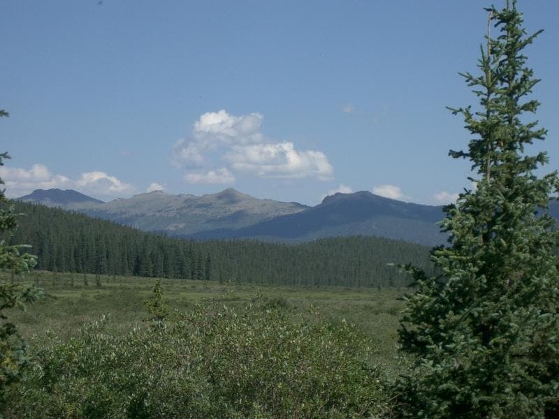
Kenosha Mountains
Location: 39.2575378, -105.5184631
©Andrew Matranga
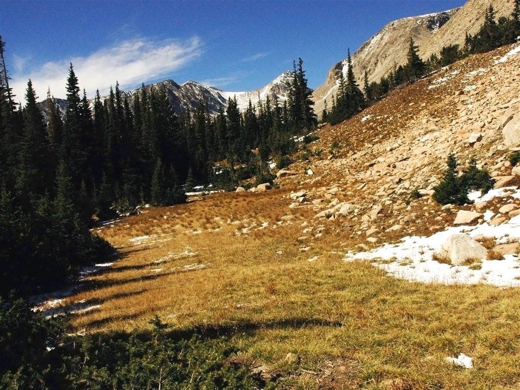
Meadow
Location: 39.237854, -105.5166473
Stroll through a sub-alpine meadow. ©Andrew Matranga
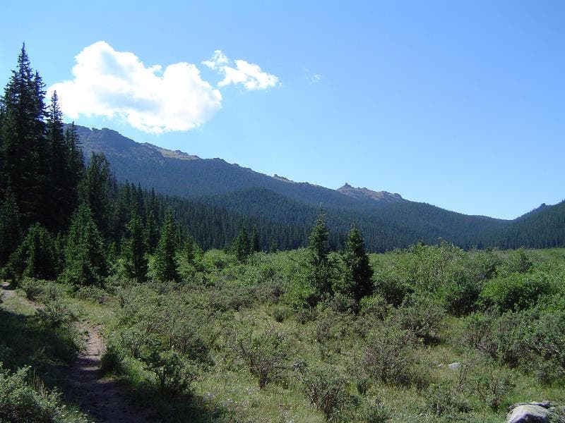
Bison Peak and Bison Arm
Location: 39.2520218, -105.5168839
View from the Indian Creek meadow. ©Jesse Ryan