Denver, CO: Barr Lake

Only 30 minutes northeast of Denver, Barr Lake is a great wildlife viewing destination close to the metro area. The perimeter trail covers most of the park’s trail system and passes observation stations offering expansive views of the lake, the Rocky Mountains, and opportunities to see some of the 360 bird species that frequent the park.
This route begins at the nature center and heads southeast for a clockwise approach to the 8.8-mile perimeter loop. The start of the trail is littered with boardwalks and paths that add up to an additional mile to your route and provide some of the hike’s largest views. You’ll stick close to the shoreline most of the time (the trail is sandwiched between the shoreline and train tracks at one point) before a 1.5-mile stretch across the top of the dam and the final 1.6 miles back to the nature center.
Although the 1,900-acre lake can have a cooling effect, the exposed trail can be extremely hot on summer afternoons. Bring sunscreen and mosquito repellent and hit the trail early or late to avoid the heat. Also, a large stretch of the trail is closed Wednesdays and Saturdays from October through February for waterfowl hunting.
-Mapped by Justin Lesniak
Trail Facts
- Distance: 15.0
Waypoints
BAR001
Location: 39.9382213, -104.7519726
The trail around Barr Lake begins at the nature center parking area. Cross the small bridge over the canal just north of the center and restroom facilities. After the bridge, turn left to follow the loop clockwise.
BAR002
Location: 39.9328259, -104.759713
There are observation stations all along the lake for viewing the abundant wildlife. Take the right-hand side trail to visit the first one, or continue cruising the lakeshore.
BAR003
Location: 39.9315466, -104.7622059
This route follows the perimeter trail, but turning right on the Fox Meadow Trail (just under a mile from the trailhead) will add just a few hundred yards to your hike and take you past another observation station before reconnecting with the main trail.
BAR004
Location: 39.9309942, -104.7688061
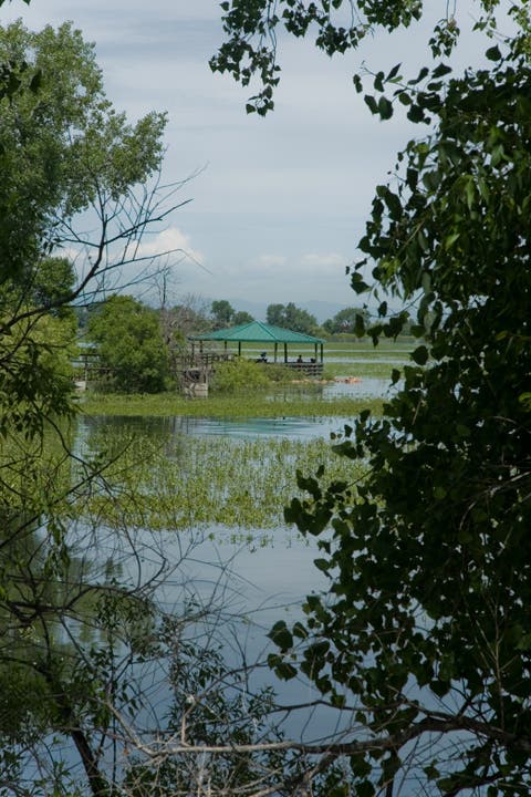
The round-trip detour to the gazebo is about 0.3 mile. Turn right to take the boardwalk to the small island’s spotting scope (excellent views of the rookery).
BAR005
Location: 39.9259919, -104.7793043
At the lake’s southwest corner, bear right to cross the Obrien Canal and hug the shoreline up ahead.
BAR006
Location: 39.932487, -104.7847804
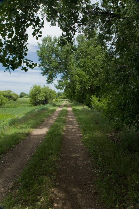
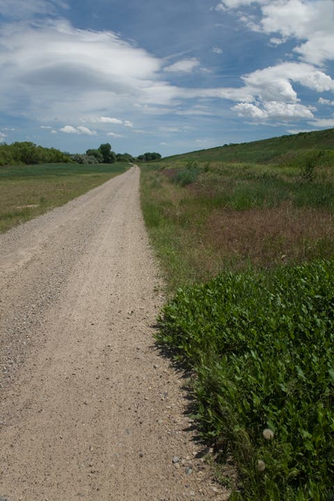
This exposed trail is occasionally shaded by cottonwood. For a break from the sun, take shelter at this spot along the doubletrack trail at mile 3.4.
BAR007
Location: 39.9485156, -104.7754258
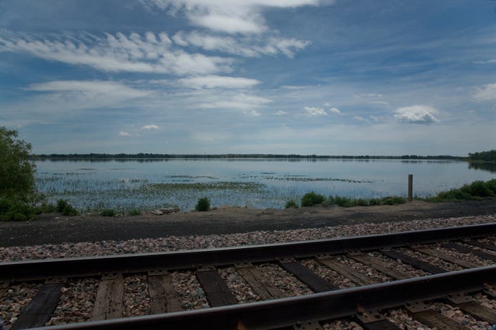
A railroad track runs along the northwest boundary of the park. Along this stretch, the trail is sandwiched between the tracks and the lakeshore.
BAR008
Location: 39.9566002, -104.7666603
A sign near this private work area indicates that this section of trail is closed one hour after sunset and one hour before sunrise, but the park itself is only open from 5 a.m. to 10 p.m. so plan accordingly.
BAR009
Location: 39.960786, -104.7612583
The Dam Crest Trail is open to bikers and hikers and runs almost 1.5 miles along the top of the 1,900-acre reservoir. Turn left to follow it and continue on the loop trail, but stay off the dam’s face and any other irrigation structures nearby.
BAR010
Location: 39.955015, -104.7468217
This huge tree near the horse-trail junction makes a great rest spot before the final stretch back toward the nature center.
BAR011
Location: 39.9473632, -104.7482709
It’s just over 1 mile from this point where the trail crosses the boat ramp access to the trailhead. Continue straight or stop at the restrooms or shaded picnic tables before continuing south.
View
Location: 39.9382213, -104.7519404
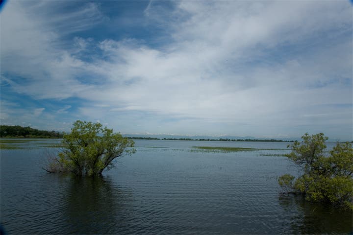
Looking west from the trailhead over the lake toward the Rocky Mountains in the distance.
Fox Meadow
Location: 39.9328576, -104.7594023
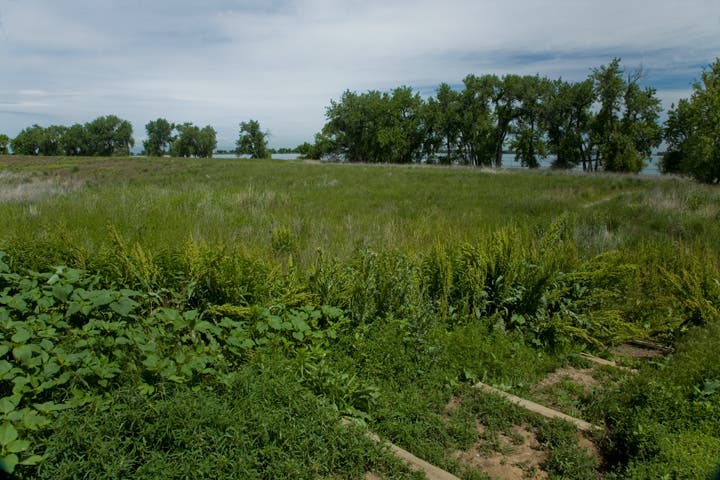
The Fox Meadow Trail hugs the shoreline and re-joins the loop trail without adding much distance.
Gazebo
Location: 39.9329069, -104.7695732
The parks gazebo is a great place to view the lake. If you forgot your binoculars, check out the spotting scope.
Shade
Location: 39.9324915, -104.7847062
Though the doubletrack trail is mostly exposed, it’s occasionally shaded by large cottonwoods.
Train Tracks
Location: 39.9486348, -104.7753131
A railroad line runs along the park’s northwest edge, but looking over the tracks to the east still provides a great view of the lake.
Behind Dam
Location: 39.959055, -104.7562373
Looking east from the trail below the Dam Crest. The Crest Trail is only open to hikers and bikers, so horseback riders might get this view from the road below.