Denali National Park: The Castle via Bison Gulch

OLYMPUS DIGITAL CAMERA
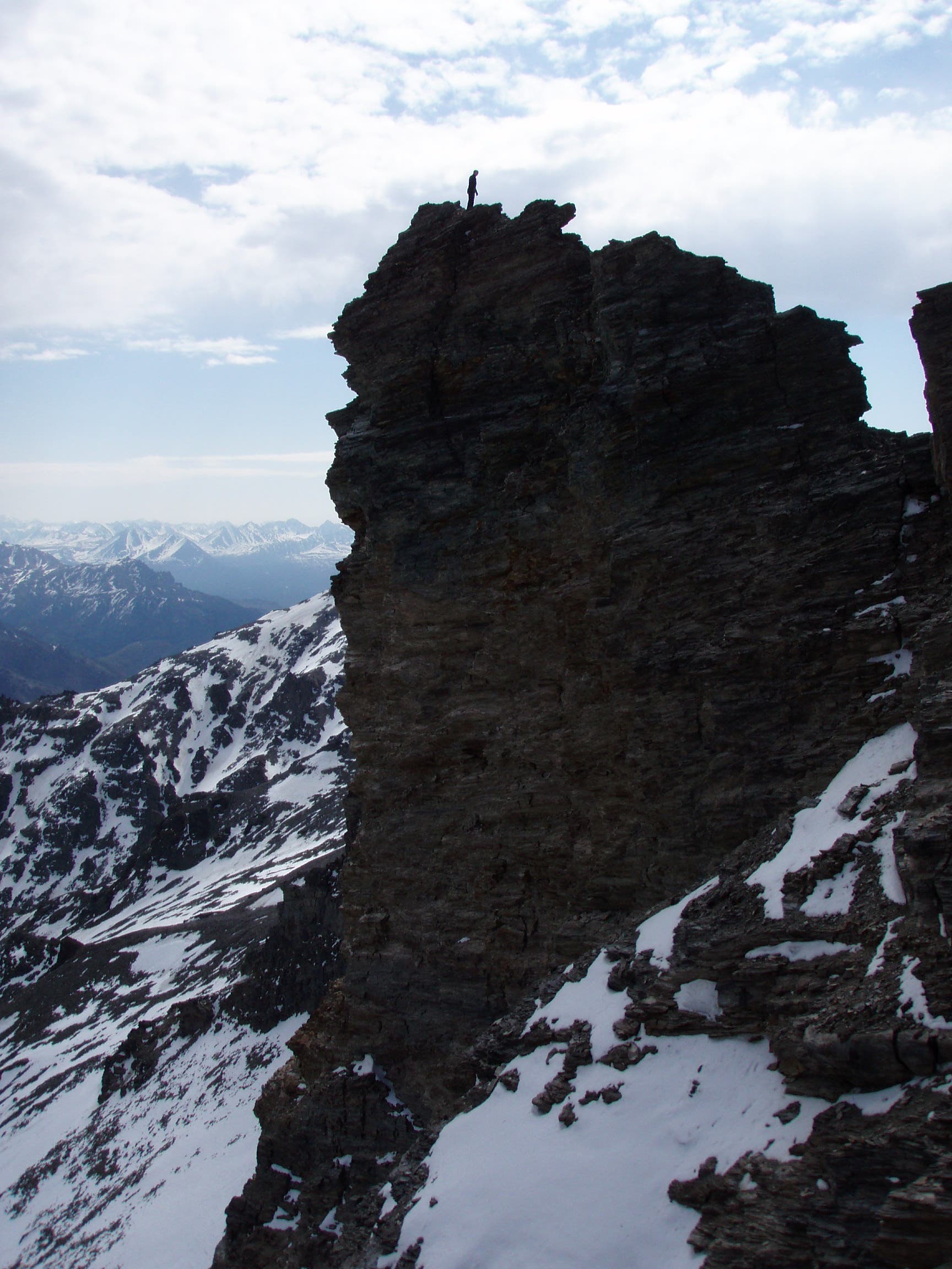
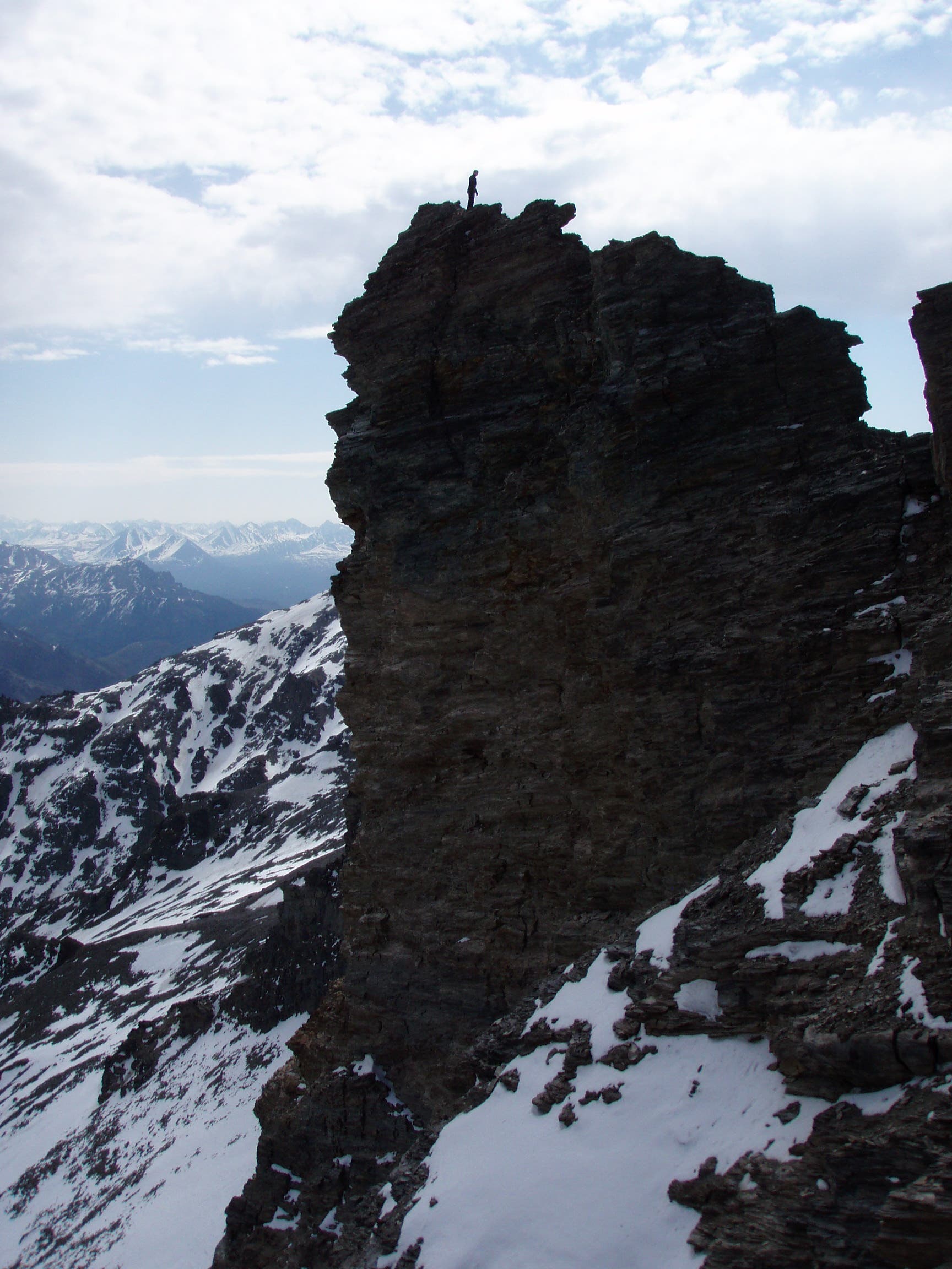
This 6.7-mile out-and-back in Denali National Park leads to the top of the “Castle,” a group of four rock spires on Mount Healy’s ridgeline. Popular with dayhikers looking for a quick workout or backpackers craving an accessible getaway in the mountains, the route starts 3 miles south of Healy on AK 3. From the parking area next to AK 3, cross the highway and pick up a worn path that climbs to the southwest above Bison Gulch. In less than half a mile, the trail steepens as it cuts through thick brush (watch out for grizzlies).
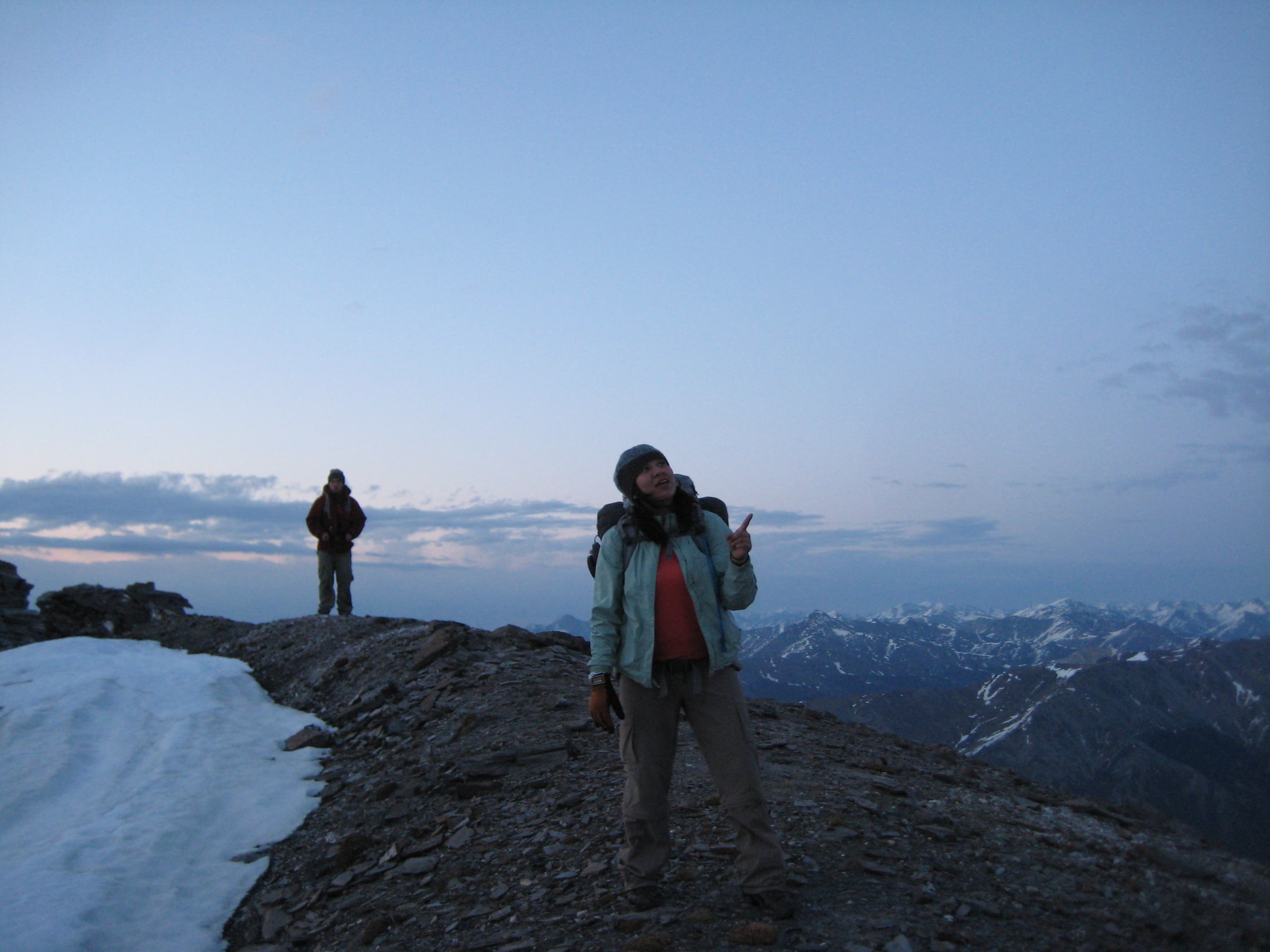
The trail starts to fade after 1.8 miles. To stay on route, keep the Castle in your sights and follow the ridgeline—and sheep trails—that rise toward these distinct pinnacles. At mile 2.1, the route briefly swings south, traversing snowfields that linger into the warmer months. Roughly half a mile later, head southwest for the final 0.6-mile stretch to the summit. On the approach, stay to the right and ascend the west side of the Castle; look for the “V” formation, which marks the easiest path to the summit. Scramble up loose shale to the summit. Savor the views across Denali National Park before starting the descent back to the trailhead.
MORE PARK INFO: Denali National Park, (907) 683-2294; nps.gov/dena/.
-Mapped by Ryan Kalseth
Trail Facts
- Distance: 10.8
Waypoints
BIS001
Location: 63.8049721, -148.9539993
From the parking area at mile-marker 244, look both ways before crossing AK 3 (Parks Highway). Look for a worn path running up the ridgeline. Prepare to gain nearly 4,000 feet of elevation over the next 3 miles.
BIS002
Location: 63.8049105, -148.9547503
Follow the worn path to the southwest into Bison Gulch.
BIS003
Location: 63.8022819, -148.959589
The climb steepens as the trail leads west through thick brush. Yell, “Hey bear!” occasionally as you hike; grizzlies have been spotted here.
BIS004
Location: 63.8012872, -148.9838362
Keep a jacket handy after passing this point. Even in summer, there’s a constant breeze that blows across this exposed ridgeline.
BIS005
Location: 63.7966023, -149.0030193
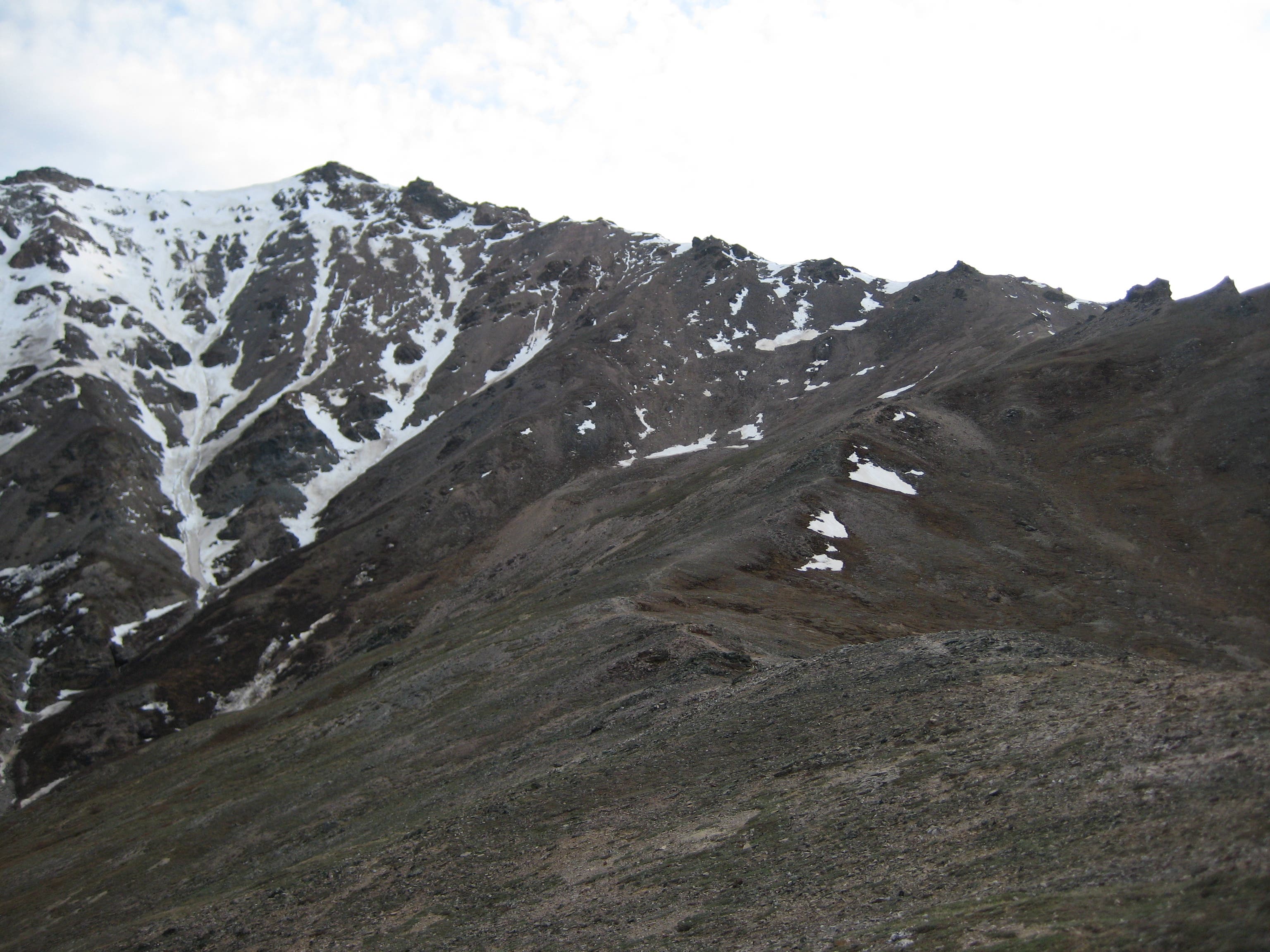
Crest a bench above Bison Gulch, then continue climbing southwest to the ridgetop. Ahead, the path starts to disappear in places. Navigation tip: If you lose the trail, keep the summit in sight and follow the ridgeline and sheep paths that lead toward the summit.
BIS006
Location: 63.7952095, -149.0095961
Pick up the ridge that rises to the south. Keep climbing.
BIS007
Location: 63.787614, -149.0048432
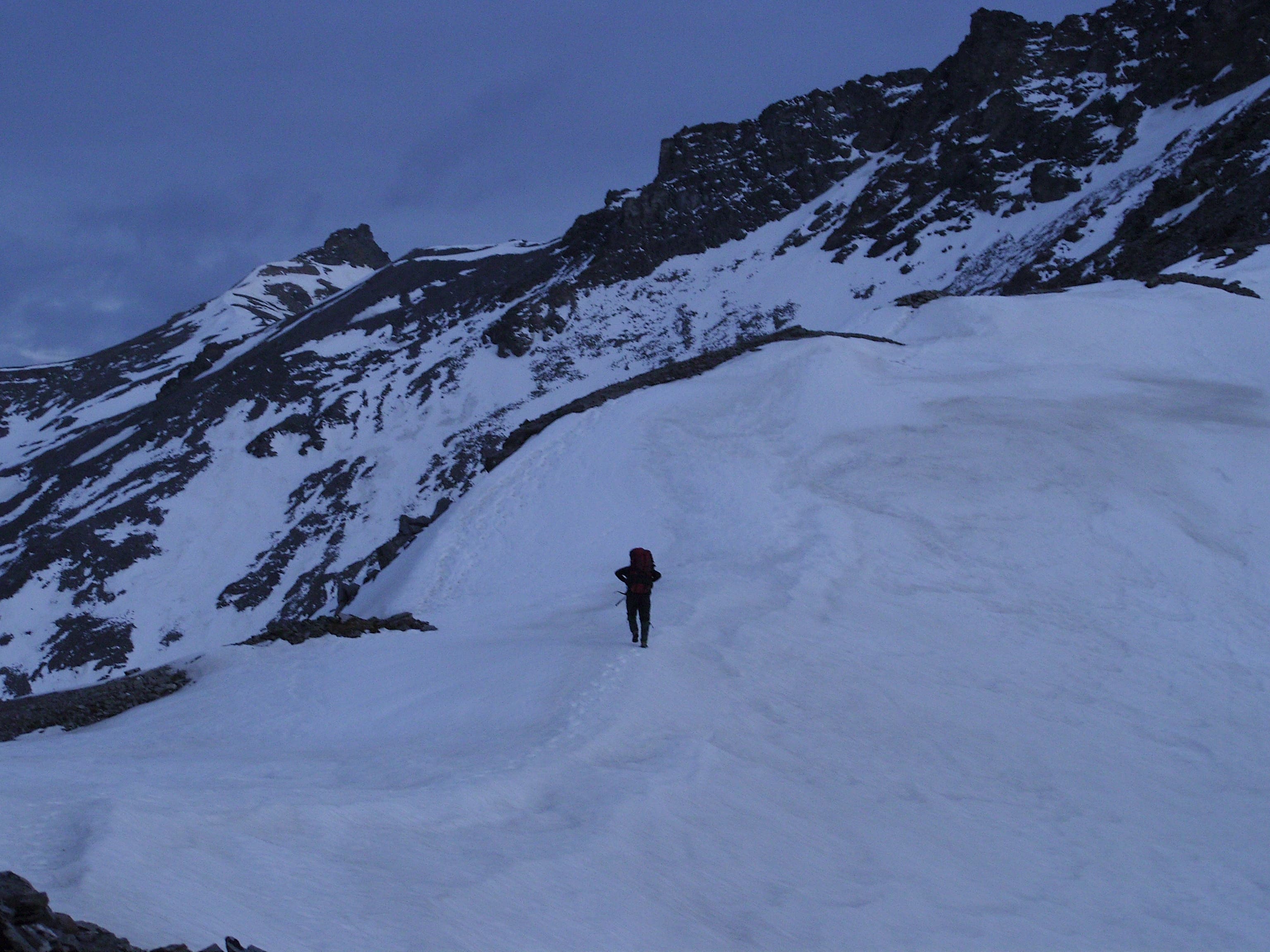
It’s common for snowfields to linger into the warmer months. The snow may be a few feet deep (gaiters and warm socks are a must). Ahead, the route curves to the southwest following the ridgeline.
BIS008
Location: 63.7811589, -149.0143275
Climb up the west side of the Castle. Caution: Loose rock (shale) makes this scramble a bit tricky. Sturdy hands, feet, and patience are required.
BIS009
Location: 63.7808034, -149.0132654
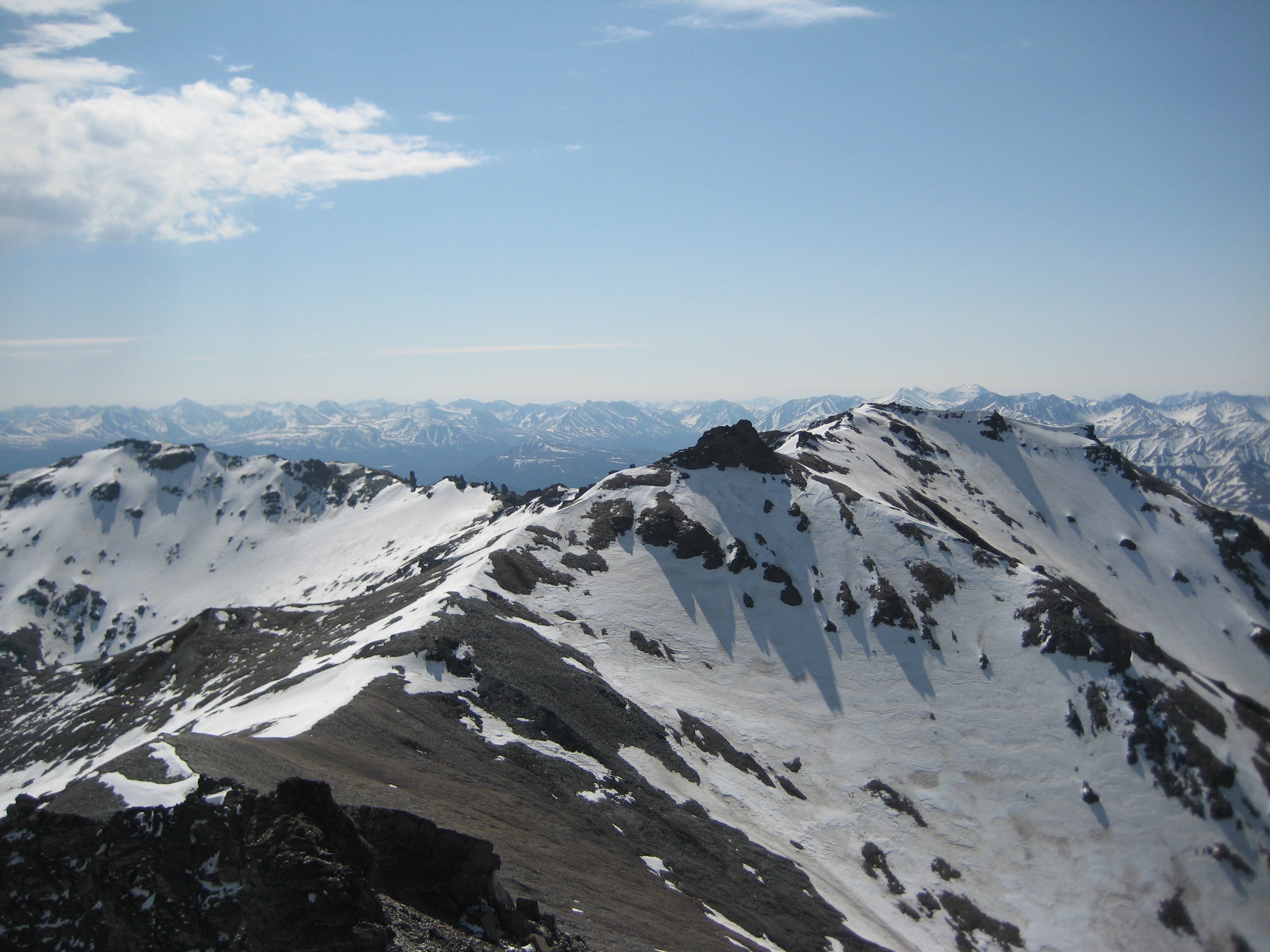
The Castle: Formed from 4 rock spires on Mount Healy’s ridgeline, this rocky perch showcases views south of the Alaska Range. Follow the same route back to the trailhead.
The Castle
Location: 63.781339, -149.0138769
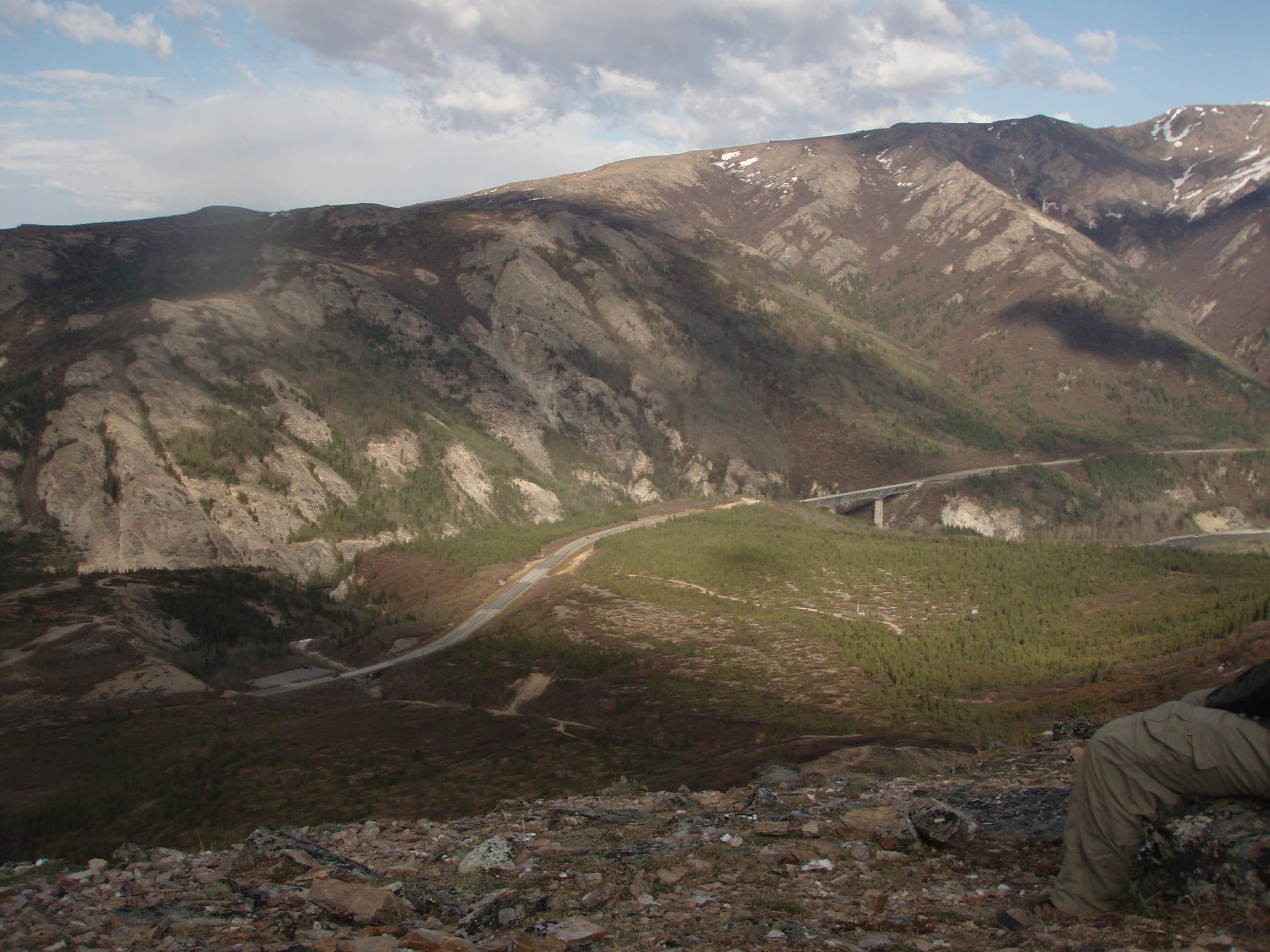
Views of the Nenana River Valley
Location: 63.8021398, -148.9743519
Windy Slopes
Location: 63.8013204, -148.9836001
The Castle
Location: 63.7965976, -149.0028691
The view has been obstructed until this point.
Running the Ridges
Location: 63.7929685, -149.007107
Snowfield
Location: 63.7876188, -149.0046823
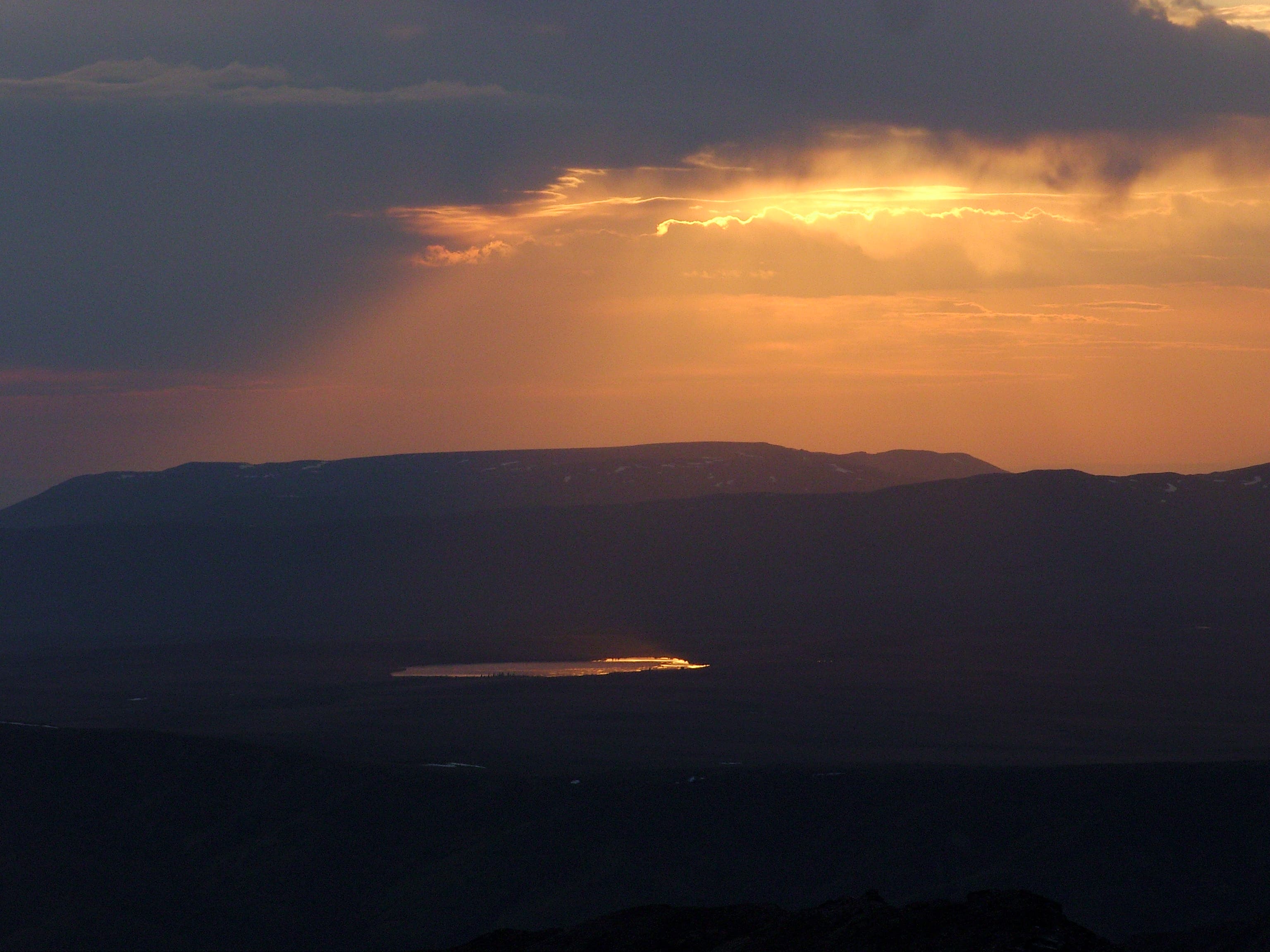
Land of the Midnight Sun
Location: 63.7862397, -149.0066028
Nineteen hours of daylight make trips at any hour possible.
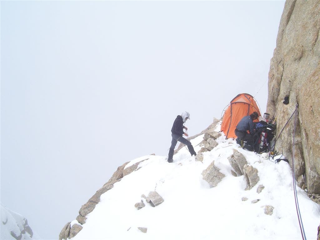
Morning Snow
Location: 63.7847516, -149.0093708
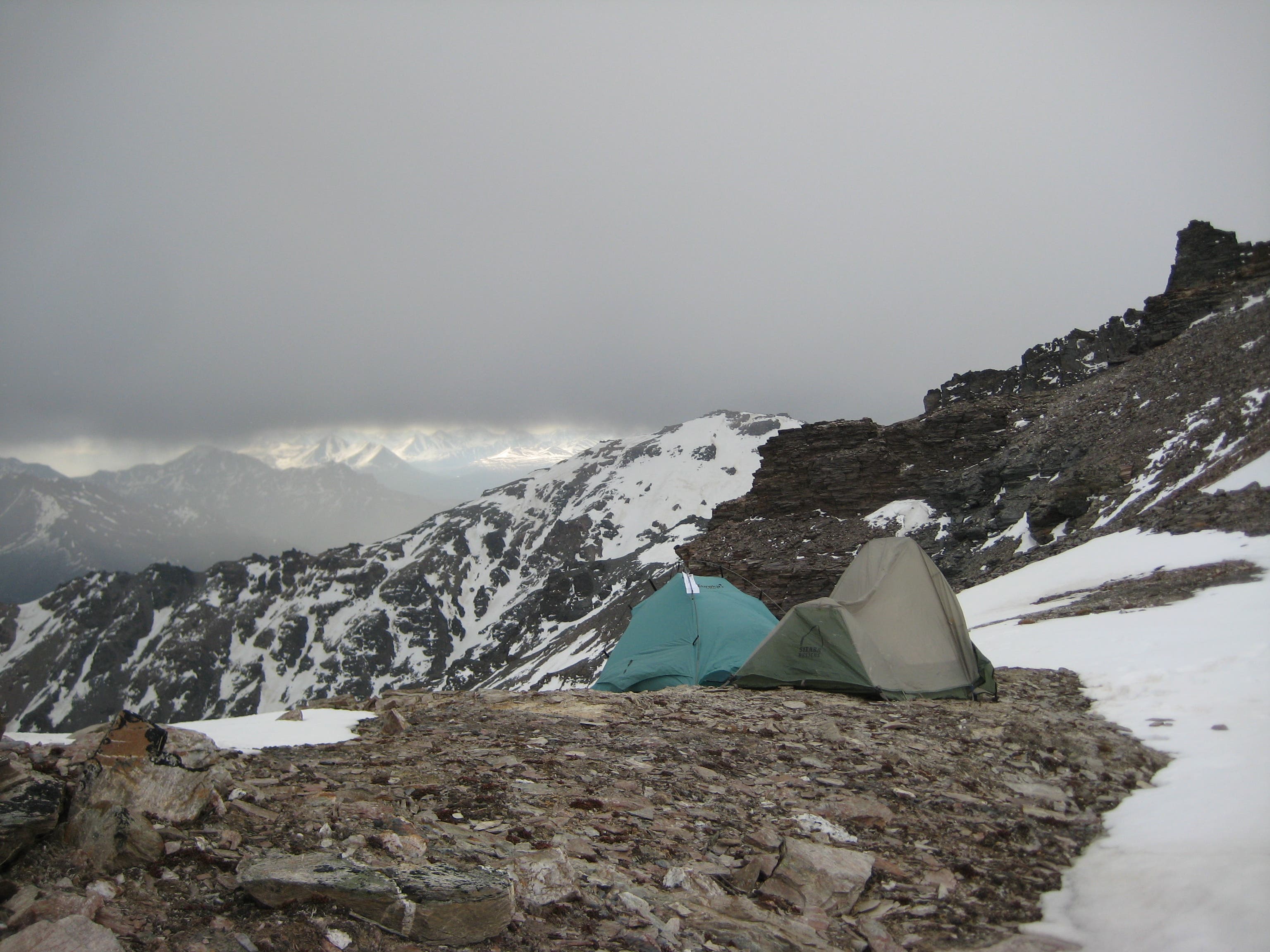
You may wake up to 25-35 knot winds and snow flurries.
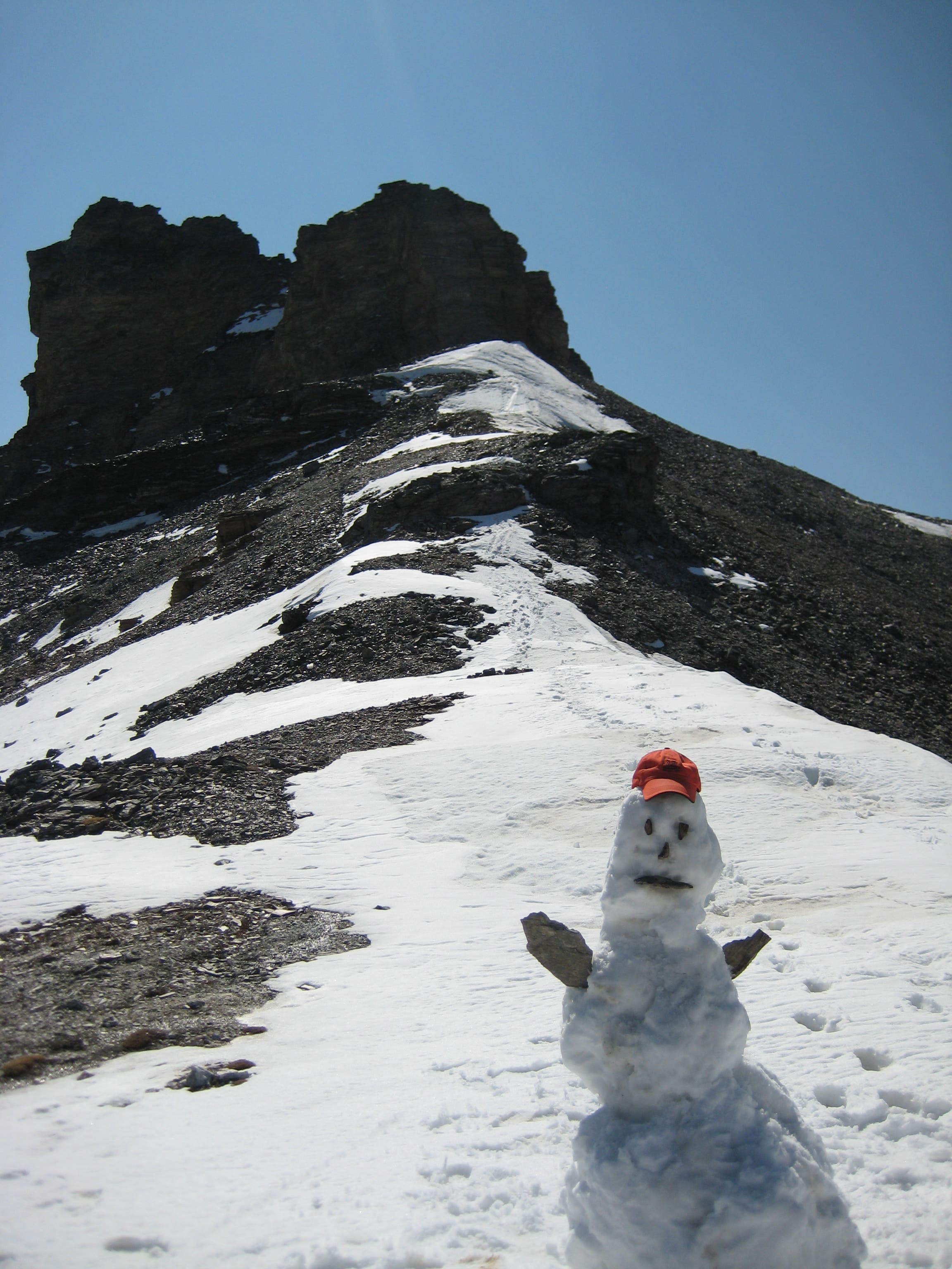
Mountain Mascot
Location: 63.782941, -149.0123749
Unfortunately, he didn’t last long in the sun.
Camp
Location: 63.7824102, -149.0132332
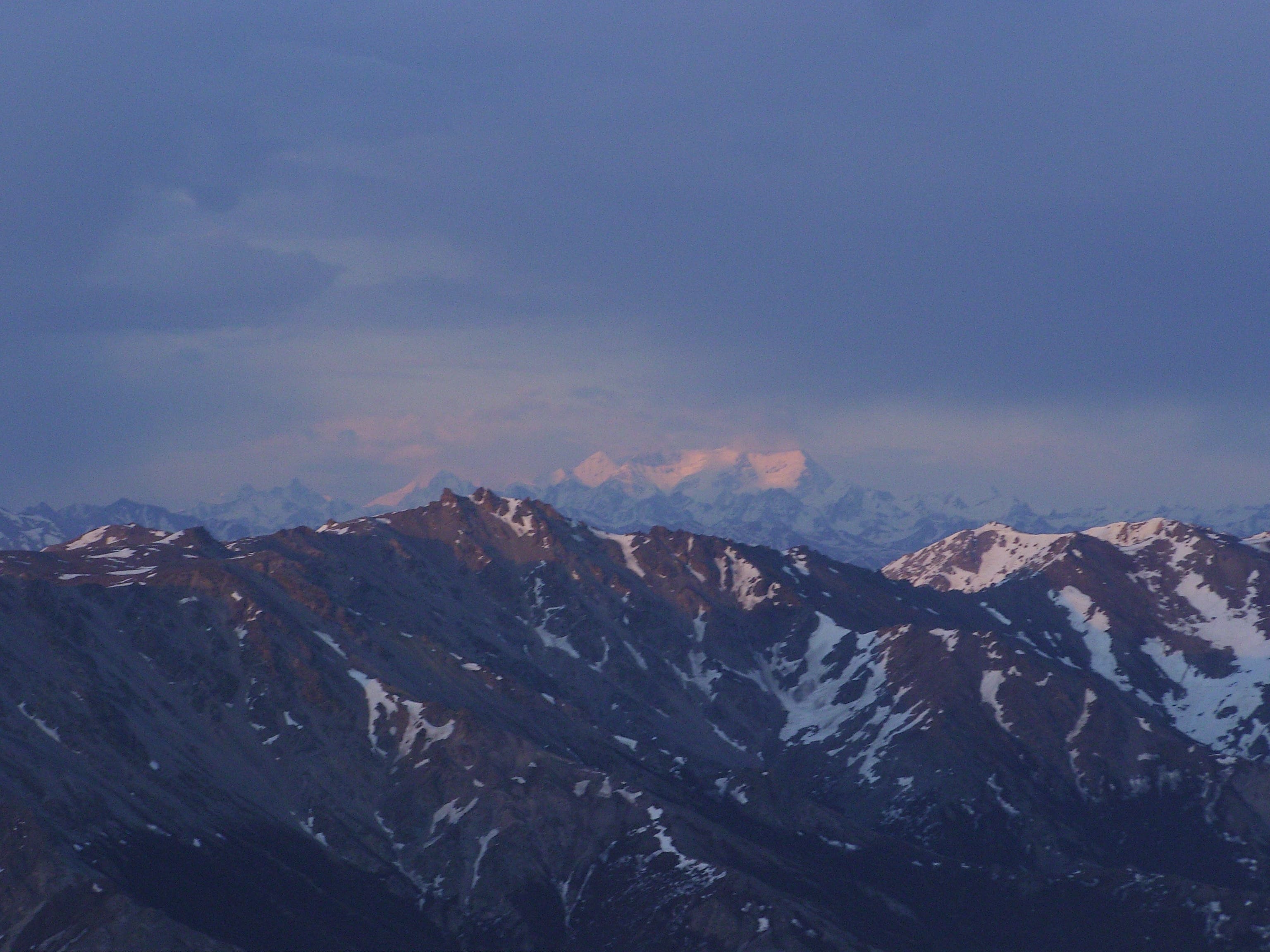
Mount Deborah
Location: 63.782031, -149.0136194
Views of 12,339-foot Mount Deborah.
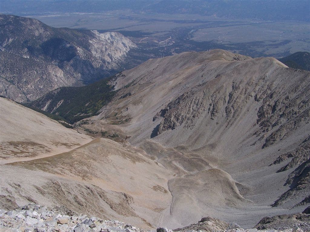
Summit Views
Location: 63.7810119, -149.0139949
Summit Views
Location: 63.7809408, -149.0137589
The Cantwell Range
Location: 63.7808745, -149.0134907