Denali National Park: Mount Wright

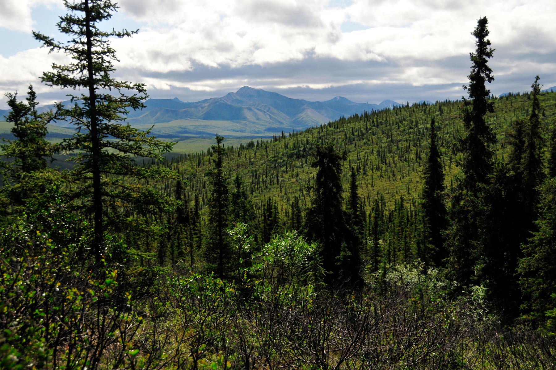
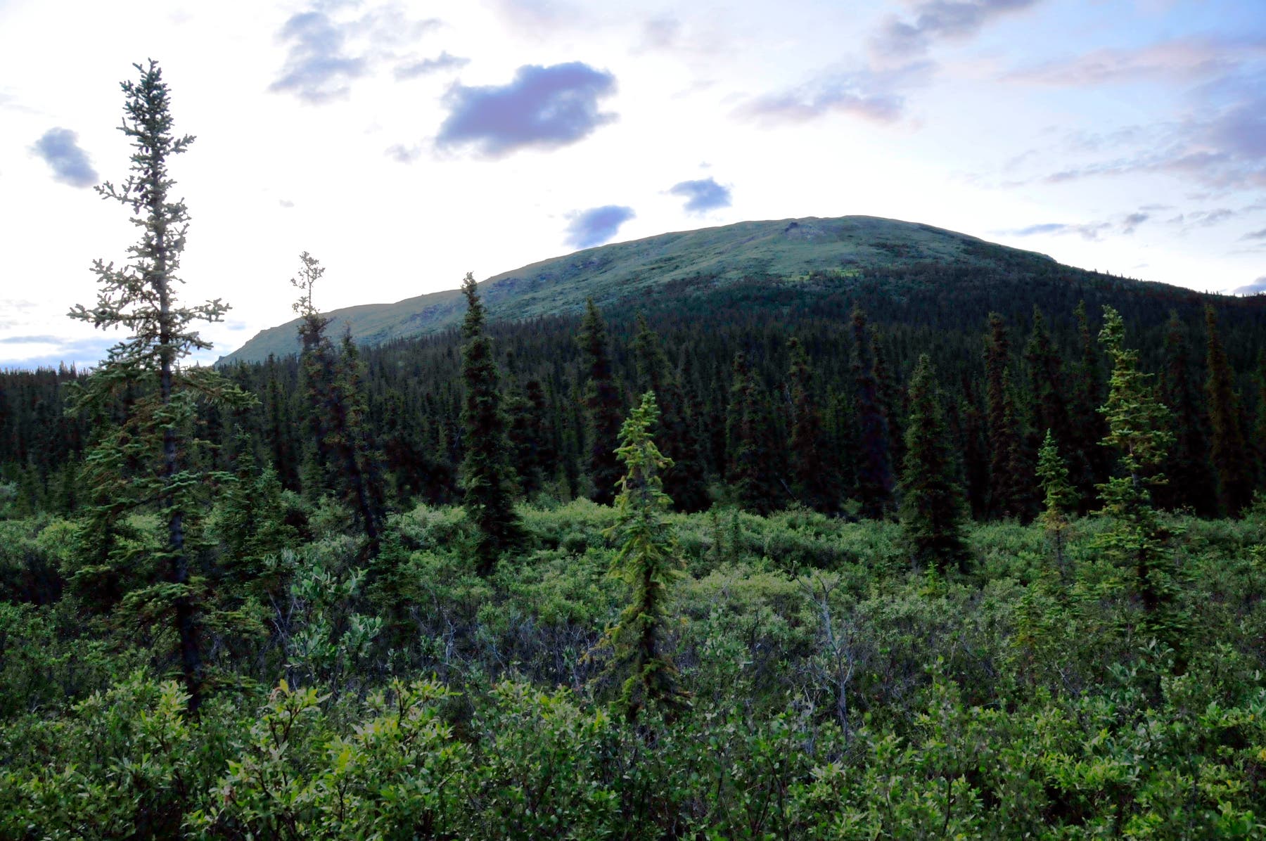
Perfect for dayhikers staying at the Sanctuary River Campground or backpackers short on time, this moderate 4.7-mile out-and-back climbs through lush spruce forest to a spacious summit with 360-degree views. The hike starts on the west side of the Sanctuary River next to the bridge. Follow the narrow social trail that winds northwest through dense and mossy forest. The path parallels a seasonal creek for the first 0.4 mile.
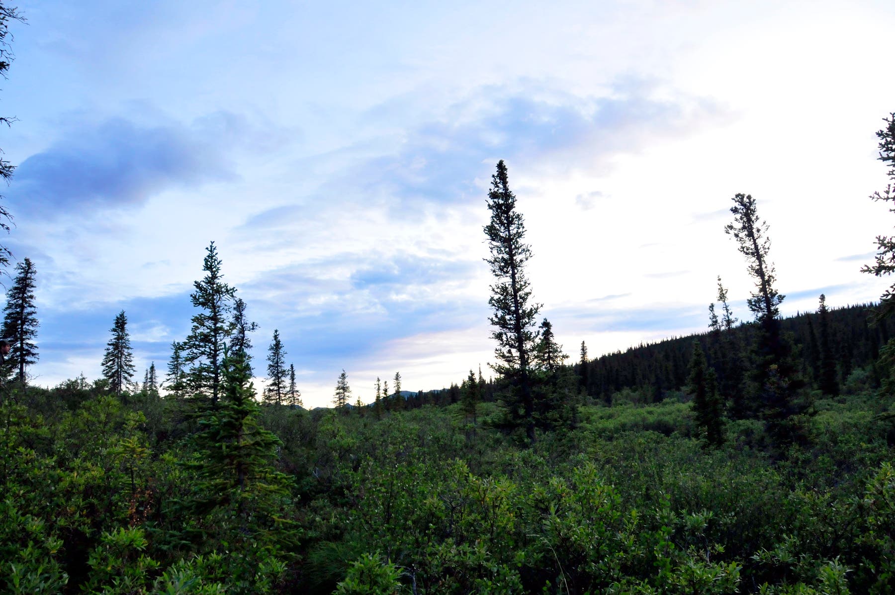
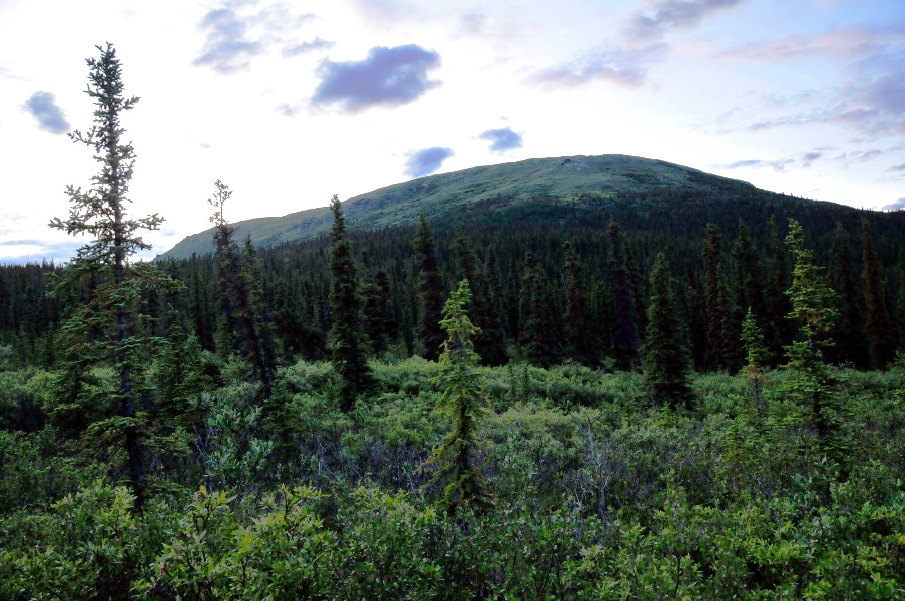
After half a mile, the forest opens and views of Mount Wright’s long ridgeline appear directly to the north. Find a flat spot to set up camp, or continue heading west, picking your way through the wet and spongy tundra on a network of social trails. At mile 0.6 (just east of a set of 3 small lakes), bear right and hike north through dense brush and conifers (make sure to yell “Hey Bear!”).
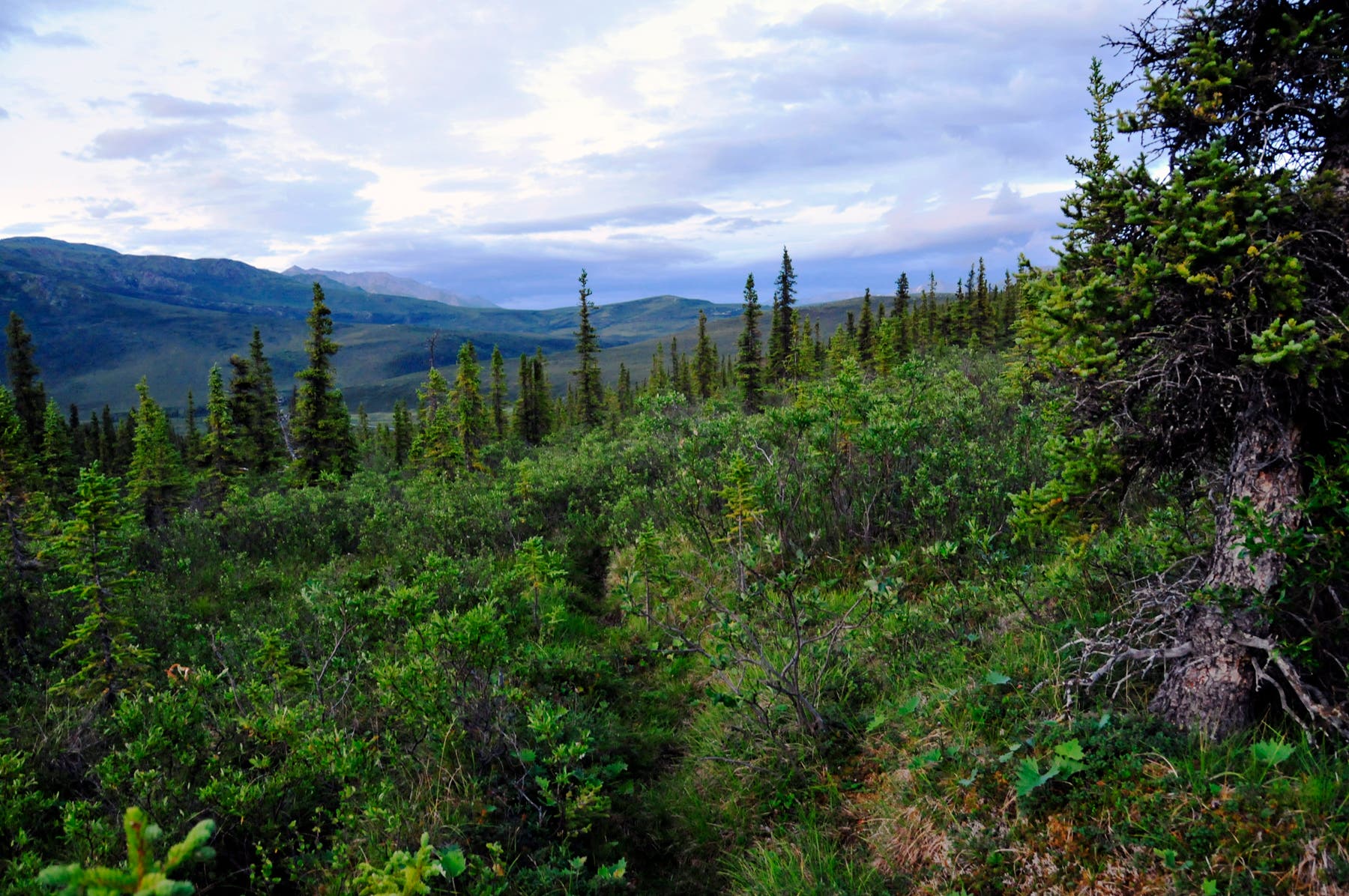
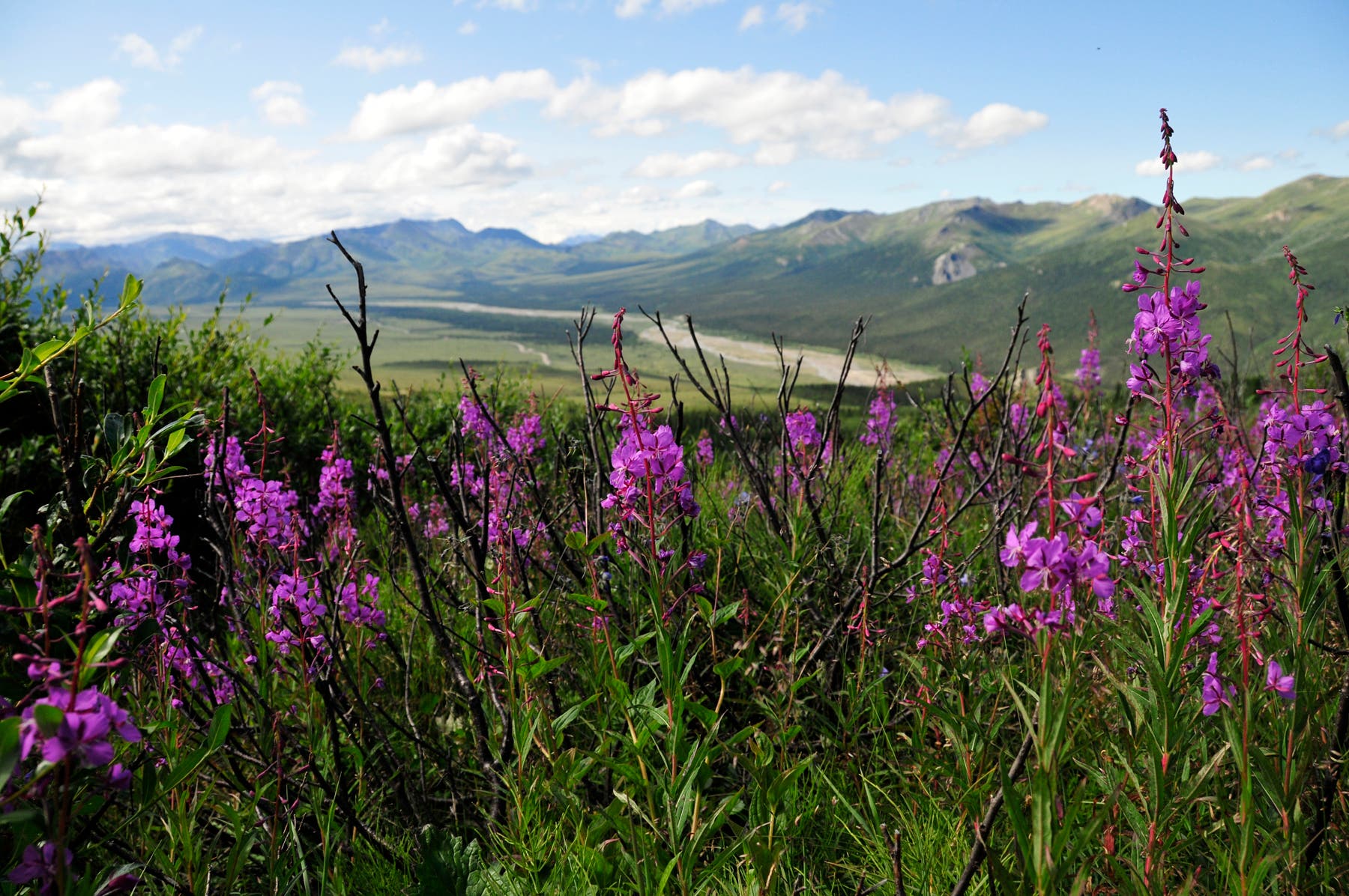
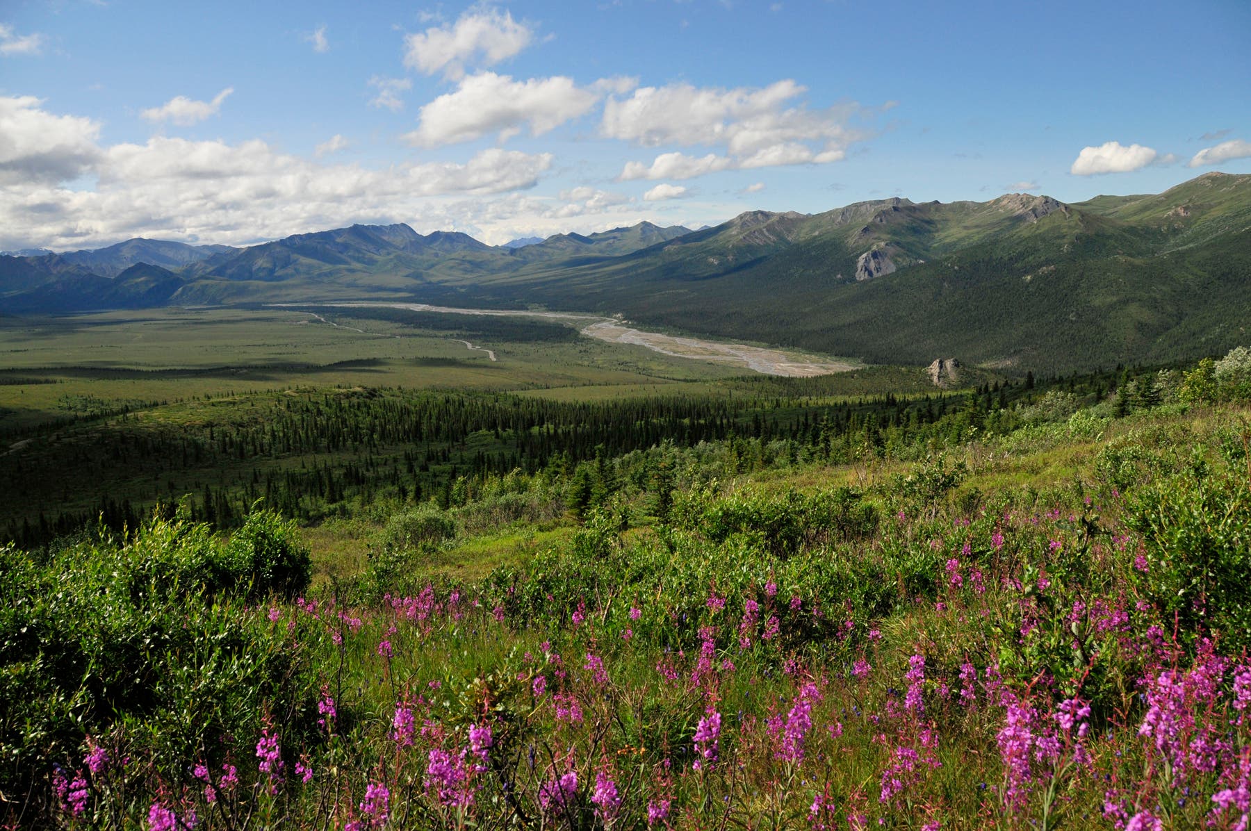
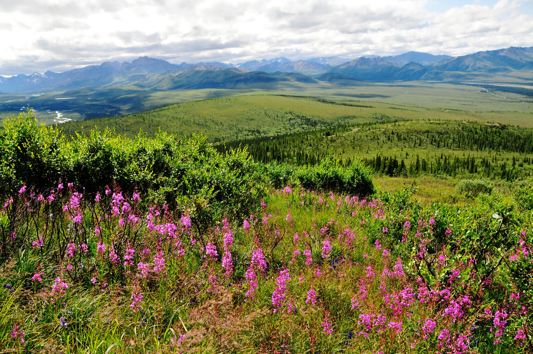
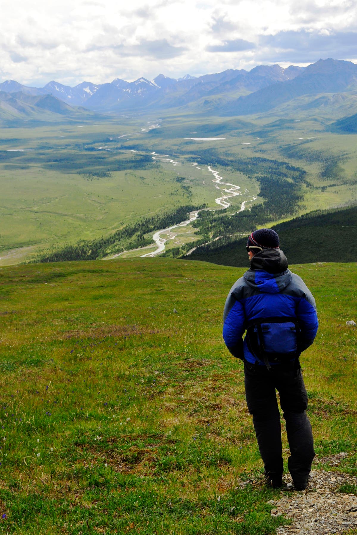
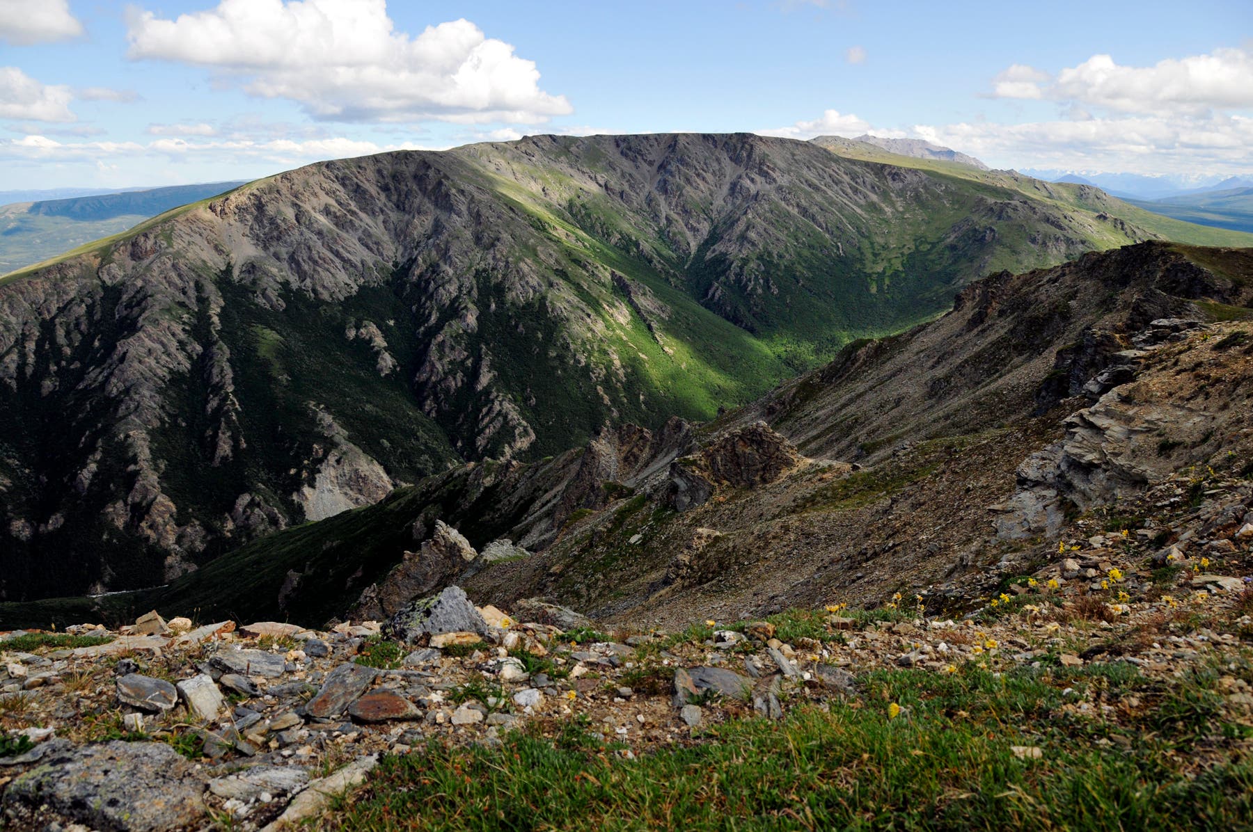
Half a mile later, the route ascends past treeline into tundra and continues to climb. After 1.5 miles, crest a false summit—the rest of the expansive summit pops into view here—and head northwest another 0.7 mile to the official summit. Spend some time on this grassy mountain top savoring views of the Alaska Range before starting the return trip to the Sanctuary River bridge.
Note: There is no established trail system in Denali’s backcountry. Map and compass skills are required.
PERMIT: Overnight camping in Denali National Park requires a backcountry permit. Check out the latest fees and more details at nps.gov/dena/planyourvisit/bcpermits.htm.
MORE PARK INFO: Denali National Park, (907) 683-2294; nps.gov/dena/planyourvisit/backcountry.htm.
ZONE INFORMATION: Unit 27.
-Mapped by Kim Phillips and Matt Vellone



Trail Facts
- Distance: 7.6
Waypoints
WRT001
Location: 63.722607, -149.476227
This 4.7-mile hike starts on the west side of the Sanctuary River next to the bridge. Follow the narrow social trail that heads northwest through lush and mossy spruce forest.
WRT002
Location: 63.724041, -149.490312
The trail leaves the thick forest and enters wet and spongy tundra. Follow the network of social trails to the west. Backpackers: Find a flat spot to set up camp.
WRT003
Location: 63.723808, -149.492437
Bear right and head north through thick brush and conifers. A set of 3 small lakes lie directly to the west. Look north for up-close views of Mount Wright.
WRT004
Location: 63.726797, -149.493226
The climb starts to steepen here.
WRT005
Location: 63.727456, -149.493628
Stop in the small clearing and turn around for views of the Alaska Range.
WRT006
Location: 63.729973, -149.493038
Look up for views of rock outcrops that dot the false summit.
WRT007
Location: 63.73012, -149.492952
Pass a potential campsite.
WRT008
Location: 63.736663, -149.490323
Crest the false summit and continue climbing north (the rest of the expansive summit comes into view here).
WRT009
Location: 63.74119, -149.494094
Pass one of several sets of boulders that make good wind shelters. Head northwest to reach the official summit.
WRT010
Location: 63.743895, -149.504353
Mount Wright (4,275 ft.): The official summit, according to USGS topo maps, is actually a nondescript point on this extremely broad mountaintop. Head east for more views across the Sanctuary River.
WRT011
Location: 63.744941, -149.495087
From this vantage point above the Sanctuary River drainage, you’ll get prime views of Primrose Ridge to the northeast. From here, head south and retrace your route back to the Sanctuary River bridge.
Sanctuary River
Location: 63.722664, -149.475646
Brushy Trail
Location: 63.724079, -149.490028
Mount Wright
Location: 63.724062, -149.490135
Views to the East
Location: 63.724043, -149.490243
Camp
Location: 63.723751, -149.491433
Lake
Location: 63.724411, -149.492984
Views to the South
Location: 63.726976, -149.493209
Trail Views
Location: 63.727465, -149.493467
False Summit
Location: 63.731182, -149.493423
Views of the Teklanika River Valley
Location: 63.732154, -149.494353
Teklanika River
Location: 63.732154, -149.494353
Views to the Southeast
Location: 63.732389, -149.494848
Wildflowers
Location: 63.733992, -149.491399
Views to the Southeast
Location: 63.734086, -149.491167
Views from Mount Wright
Location: 63.738342, -149.491759
Boulder
Location: 63.73938, -149.49114
Summit Views of Primrose Ridge
Location: 63.744918, -149.494629
Mount Wright
Location: 63.744957, -149.494943