Denali National Park: Anderson Pass

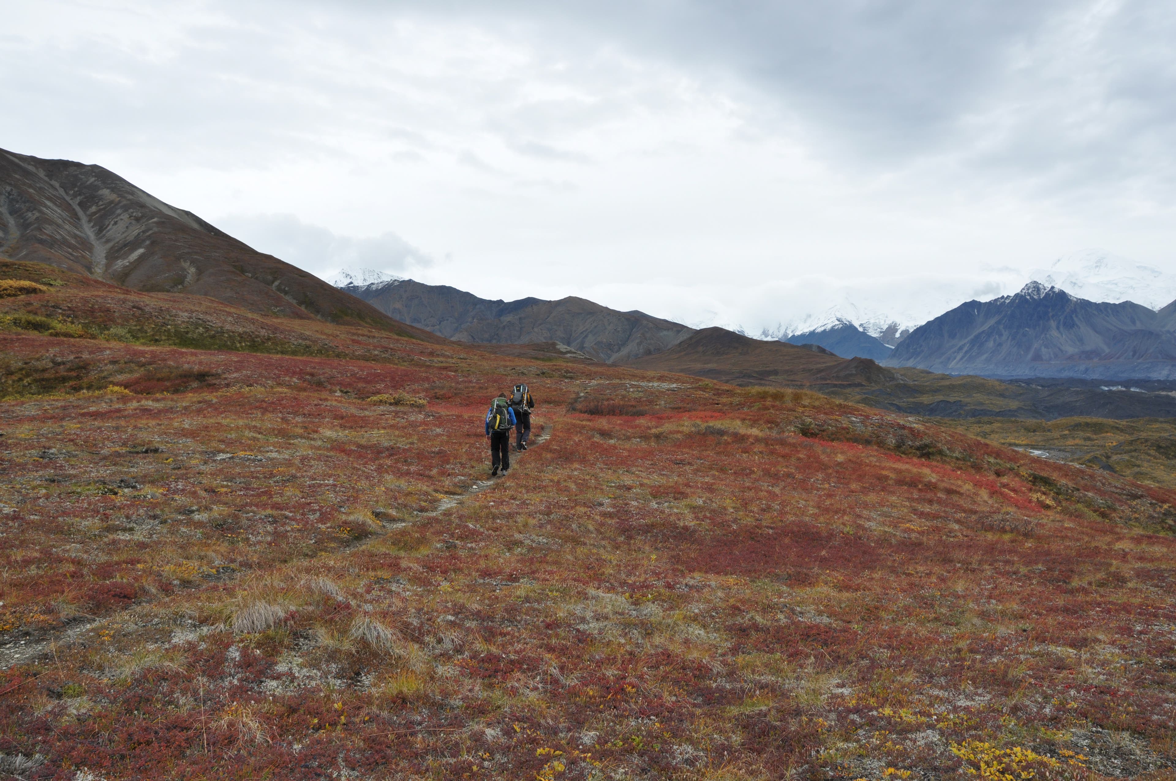
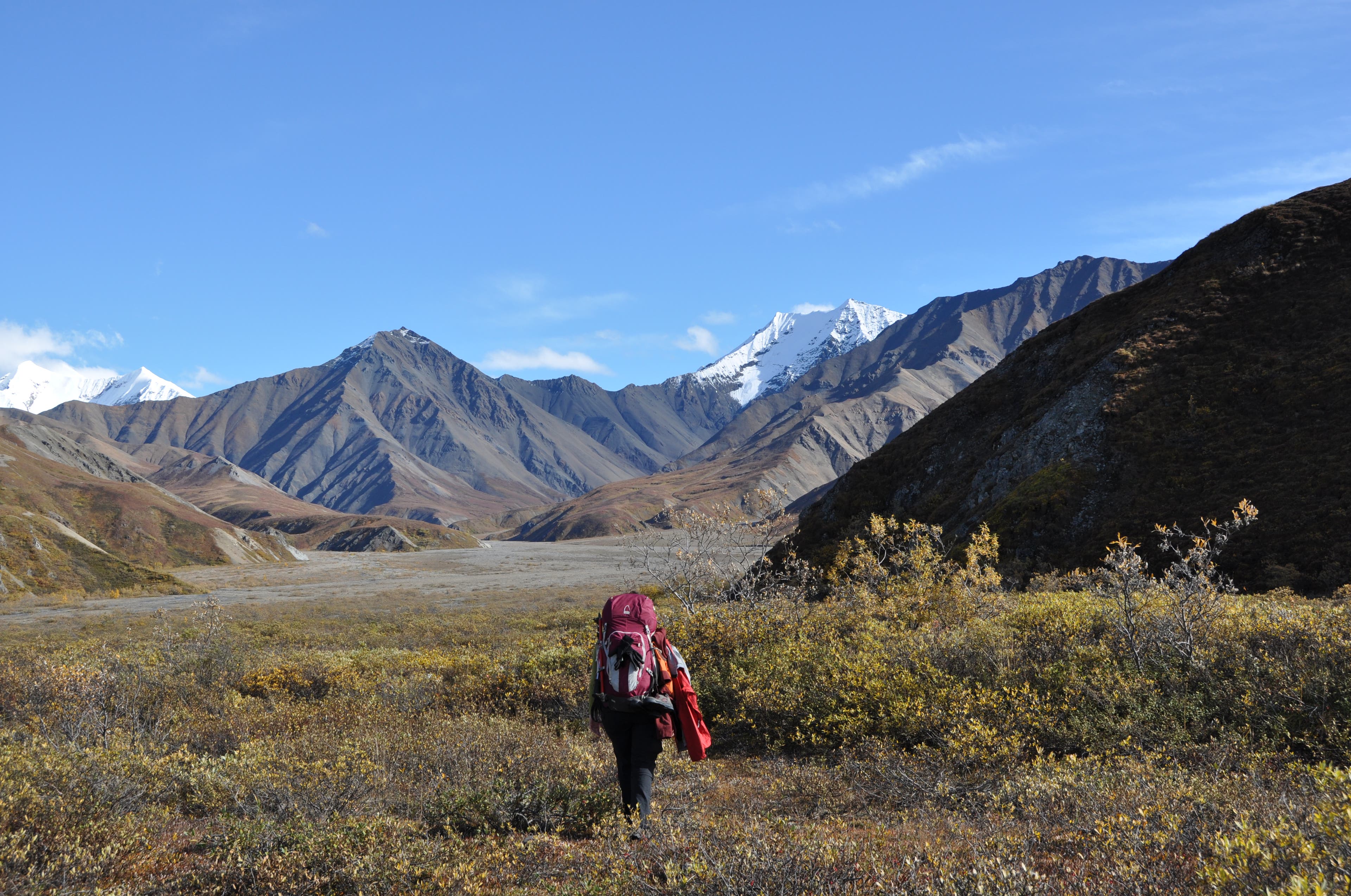
From Grassy Pass, bushwhack to a ford of the Thorofare River (depth varies with weather and season) at mile .4. Reach Glacier Creek and head 1.1 miles south to a canyon in the Muldrow Glacier. Climb 150 feet southeast to a tundra bench adjoining Mt. Eielson. Weave through blueberry patches for two miles, then drop to cross Intermittent and Crystal Creeks (clear-water streams: tank up), then ford calf-deep Glacier Creek above its confluence with Crystal Creek at mile 4.8.
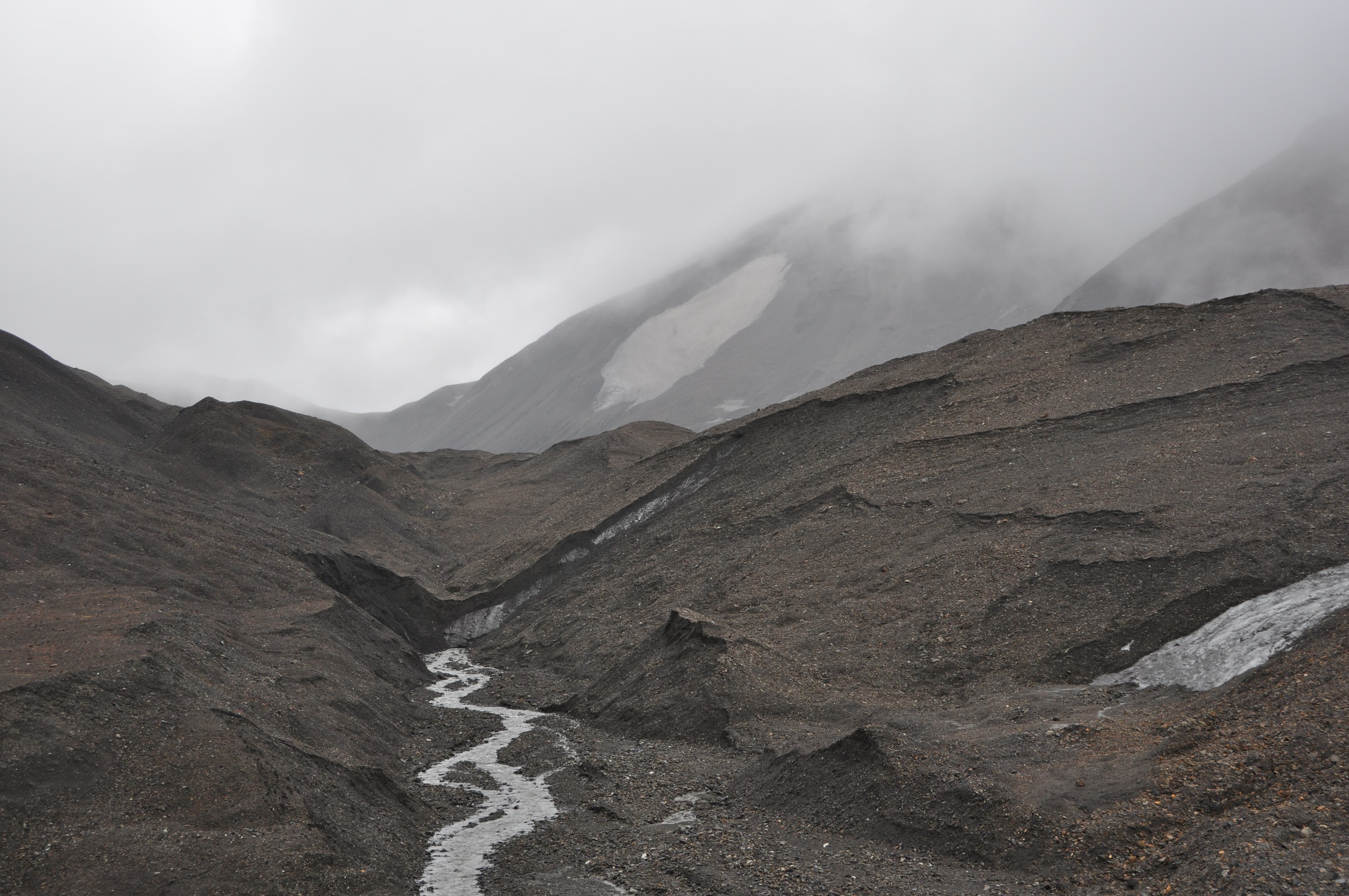
Hug the gravel pathways next to the Muldrow until the streambed widens into a braided gravel bar at mile 6.6; expect multiple crossings over the next 2.6 miles. Scout for a flat campsite near a tumbling creek at mile 8.1. Dayhike on day two 5.7 miles (one-way) to Anderson Pass. Next day, follow Glacier Creek north to Crystal Creek at mile 22.4; follow it about a mile until Wolverine Creek veers left of a tundra bench.
Next up: a 3.3-mile, 1,174-foot climb to 4,724-foot Contact Pass. Then drop a steep mile along Contact Creek to campable ground. On your final day, follow the Thorofare River drainage 2.1 miles, scouting places to ford, before the river cuts west at mile 29.6. Here, ascend a marshy bench, pass a lake at mile 30.5, then ford Gorge Creek at mile 31.7. Close the trip on a 653-foot climb on a user trail leading to the Eielson Visitor Center.
Gear Pack old sneakers for river crossings; trekking poles; bomber raingear; bear spray; deet and headnets. Get free bear canisters at the permit office.
Season September has fewer people, plentiful remnant berries, and typically lower river flows, but it comes with the risk of weathering the first winter storm.
Permits Free; pick up at the backcountry office the day of your trip or one day prior.
Maps $8 each at the backcountry office
Contact (907) 683-2294, nps.gov/dena
-Mapped by Ted Alvarez
TO TRAILHEAD: Hop the Camper Bus ($32, 800-622-7275 for times) across from the Denali National Park Visitor Center (reserve in advance at reservedenali.com). Ask the driver to drop you at Grassy Pass, two miles past the Eielson Visitor Center, a four-hour ride from the park entrance.
Trail Facts
- Distance: 51.2
Waypoints
DNP001
Location: 63.428255, -150.398977
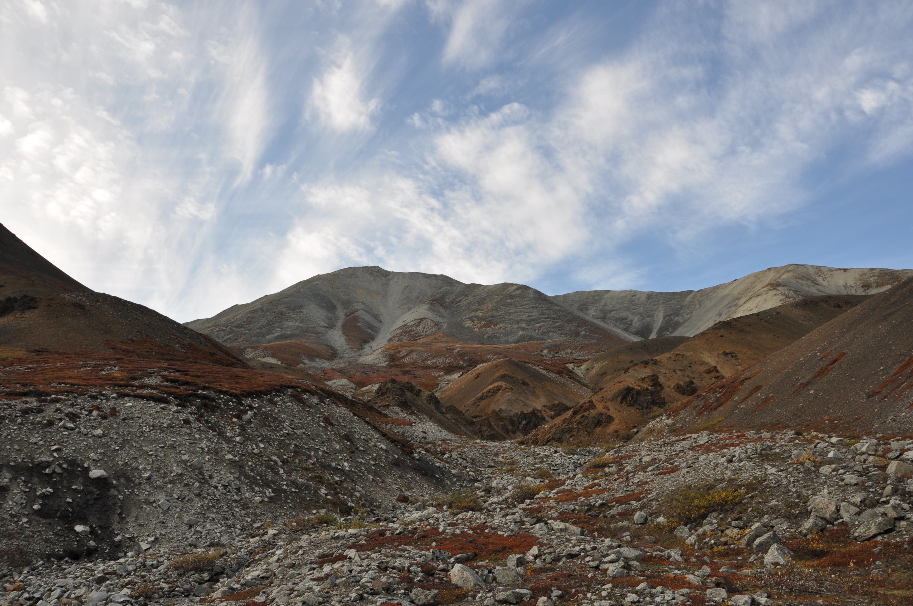
Two miles past the Eielson Visitor Center, hike south across tundra at Grassy Pass and drop down a steep ravine choked with dwarf birch to the Thorofare River basin.
DNP002
Location: 63.427347, -150.399206
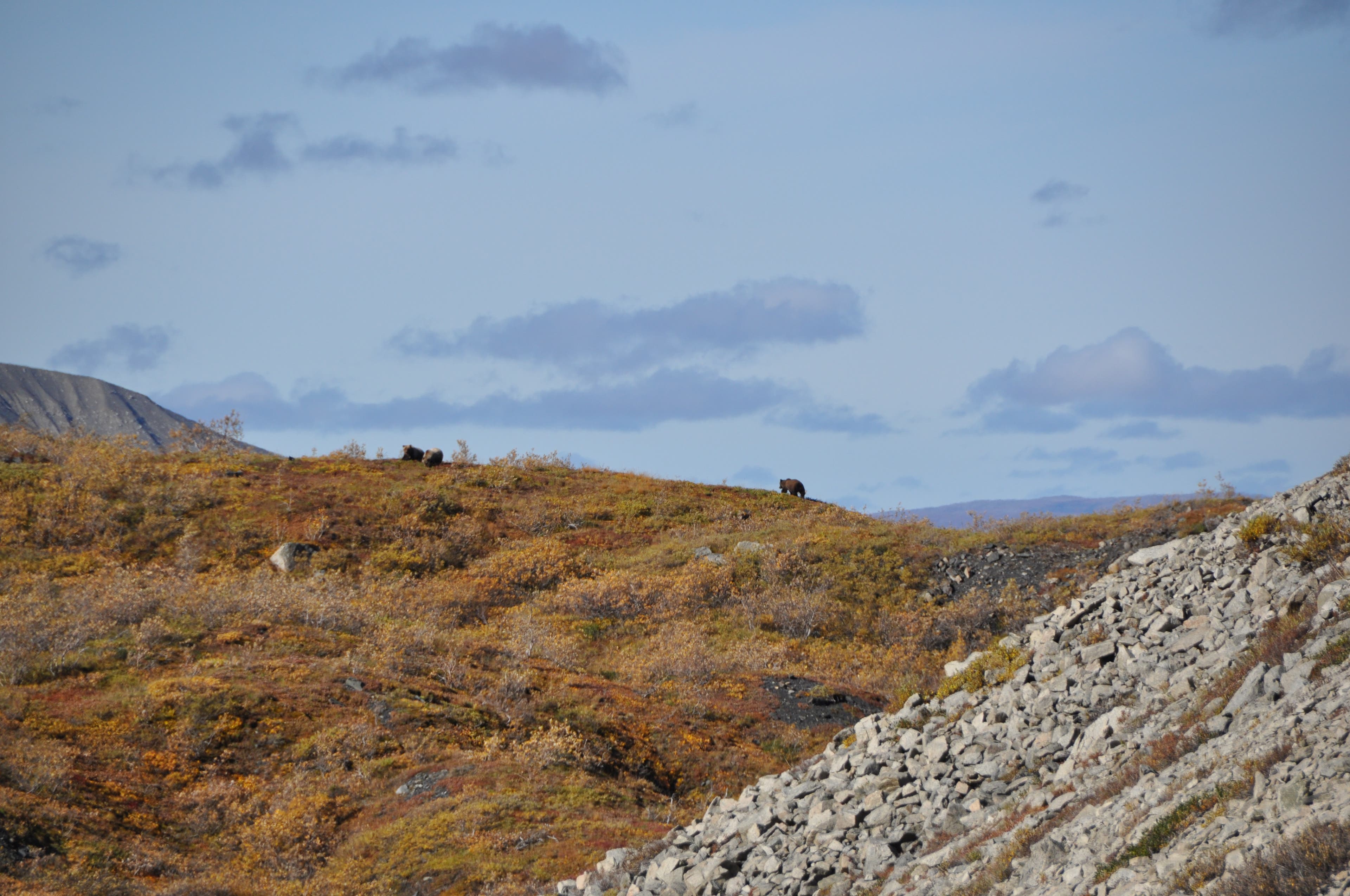
Plentiful blueberries coat the tundra. (Watch for bears!)
DNP003
Location: 63.418458, -150.397124
Find a wide, riffled channel to cross the Thorofare River. Toss a rock to test depth.
DNP004
Location: 63.400801, -150.39153
Climb 150 feet southeast to a tundra bench adjoining Mt. Eielson. Watch for bears in the Glacier Creek drainage.
DNP005
Location: 63.395767, -150.388823
Follow a faint game trail up the bench for two miles as it weaves through blueberry patches.
DNP006
Location: 63.380496, -150.381704
Drop down a scree hill to the Glacier Creek basin.
DNP007
Location: 63.376605, -150.375715
Cross Intermittent and Crystal Creeks (clear-water streams: tank up).
DNP008
Location: 63.36792, -150.378108
Ford calf-deep Glacier Creek above its confluence with Crystal Creek at mile 4.8.
DNP009
Location: 63.345818, -150.374144
Follow the Muldrow until the streambed widens into a braided gravel bar at mile 6.6; expect multiple crossings over the next 2.6 miles.
DNP010
Location: 63.328905, -150.349713
Scout for a flat campsite near a tumbling creek at mile 8.1.
DNP011
Location: 63.316743, -150.333696
Stream uphill with clear water.
DNP012
Location: 63.316743, -150.333696
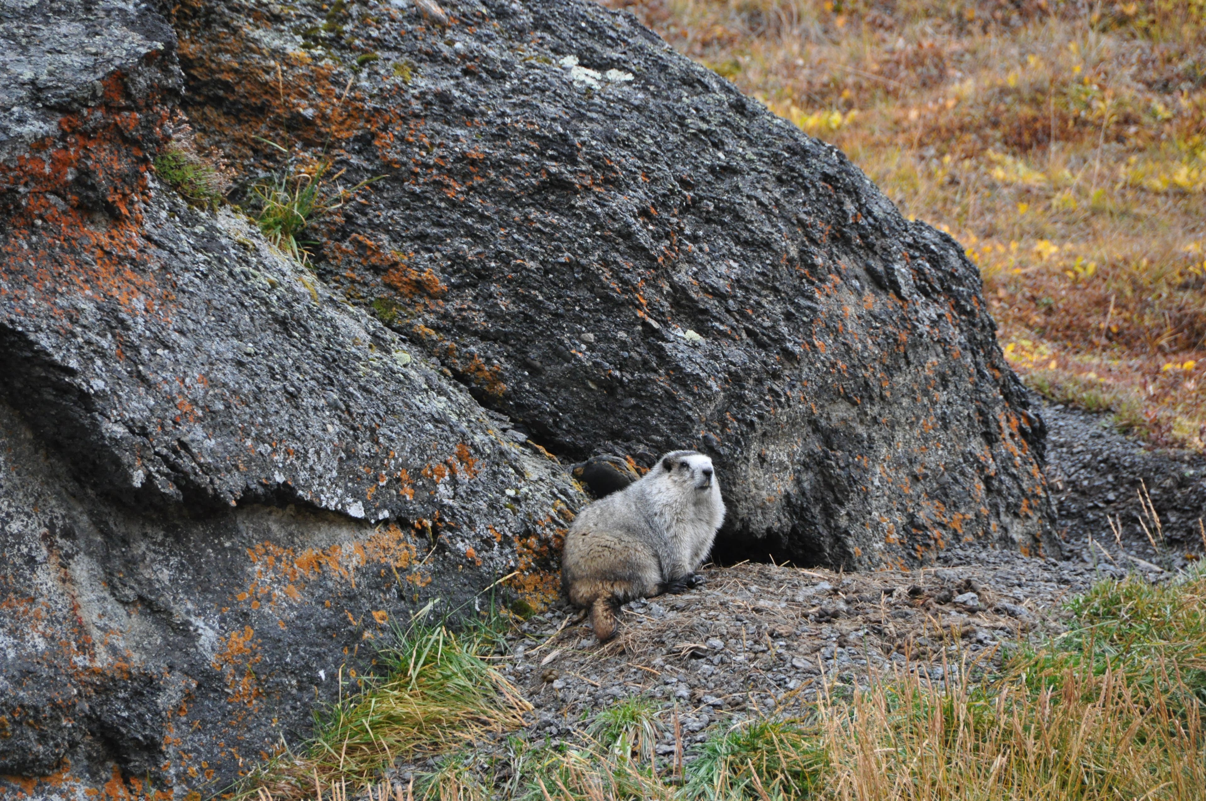
This wide field hosts one of the highest populations of marmots in the park.
DNP013
Location: 63.298172, -150.317011
Look for wide views of the Muldrow Glacier.
DNP014
Location: 63.288938, -150.311205
Dayhike on day two 5.7 miles (one-way) to Anderson Pass. Hug the left Moraine to reach the pass.
DNP015
Location: 63.290308, -150.276976
Look for a creeping glacier to your right.
DNP016
Location: 63.290359, -150.234429
Anderson Pass, hall of the mountain kings!
DNP017
Location: 63.366496, -150.368555
Next day, follow Glacier Creek north to Crystal Creek at mile 22.4. Follow it about a mile until Wolverine Creek veers left of a tundra bench.
DNP018
Location: 63.361136, -150.338622
Follow Wolverine Creek left of tundra bench.
DNP019
Location: 63.376604, -150.292459
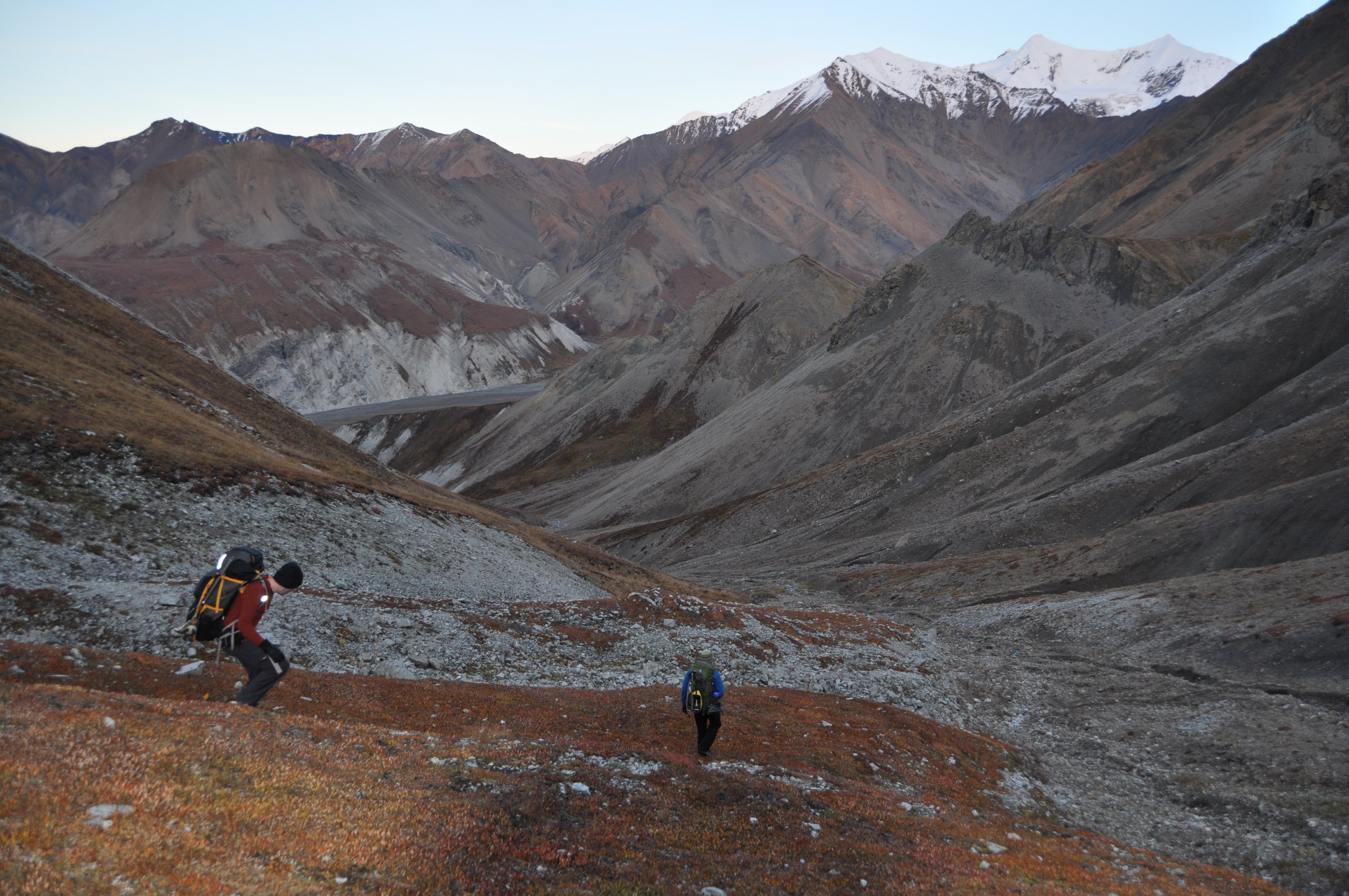
Savor the views approaching Contact Pass.
DNP020
Location: 63.376884, -150.285448
Follow Contact Creek to Camp 3.
DNP021
Location: 63.380163, -150.264341
Camp 3, a sheltered spot near the Thorofare River basin.
DNP022
Location: 63.376884, -150.285448
Contact Pass.
DNP023
Location: 63.381246, -150.262276
Follow Thorofare north to Eielson Visitor Center.
DNP024
Location: 63.381246, -150.262276
Cross the Thorofare at braids near here—after sunny days, it gets very swift downstream.
DNP025
Location: 63.408086, -150.287947
Break near a sheltered, hidden lake.
DNP026
Location: 63.4218, -150.310323
Cross Gorge Creek—typically an easy ford.
DNP027
Location: 63.430848, -150.3115
Catch a shuttle bus home at the Eielson Visitor Center.
DNP028
Location: 63.430848, -150.3115
Eielson vis–end!
Contact Pass
Location: 63.376567, -150.2886
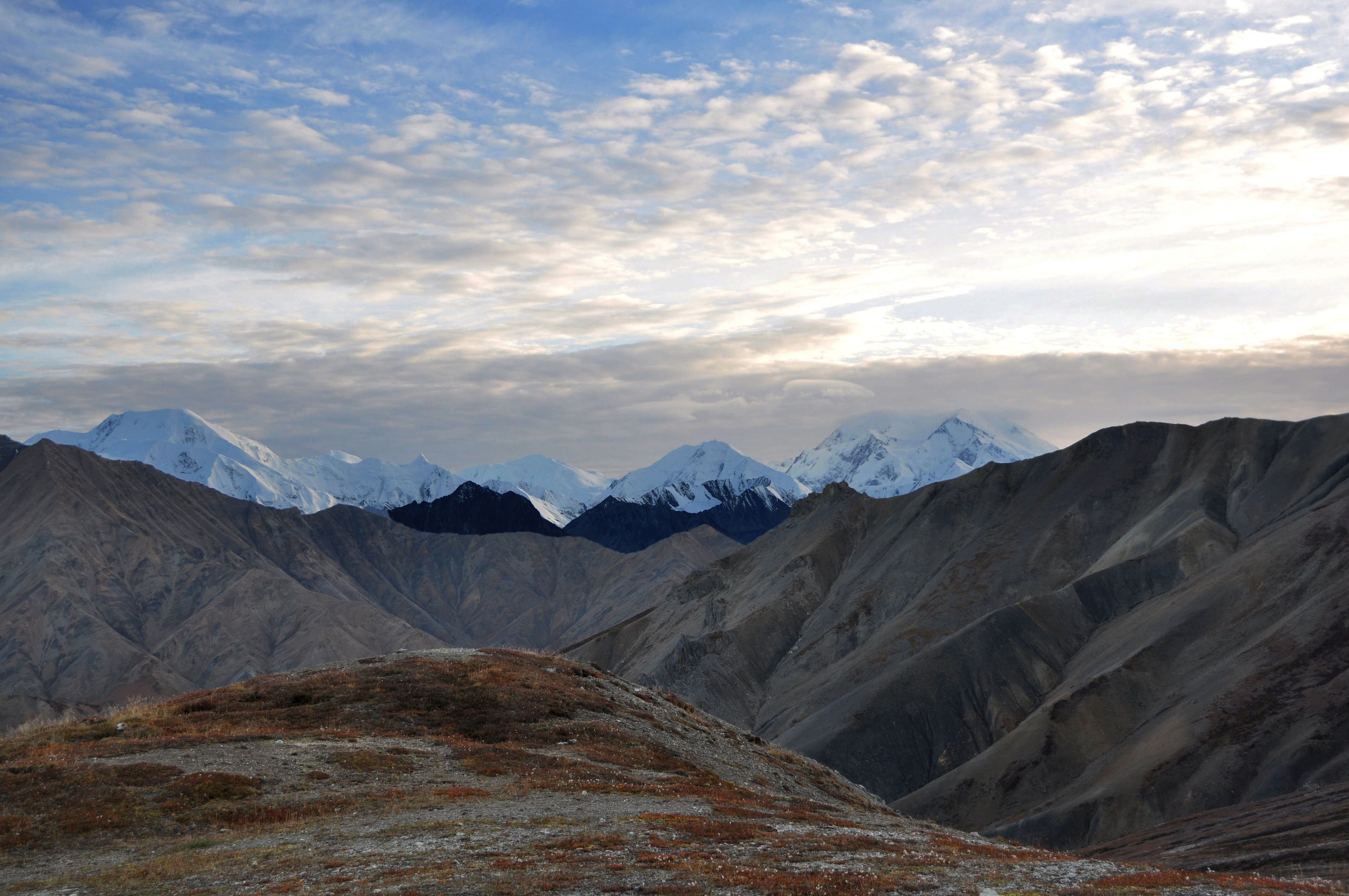
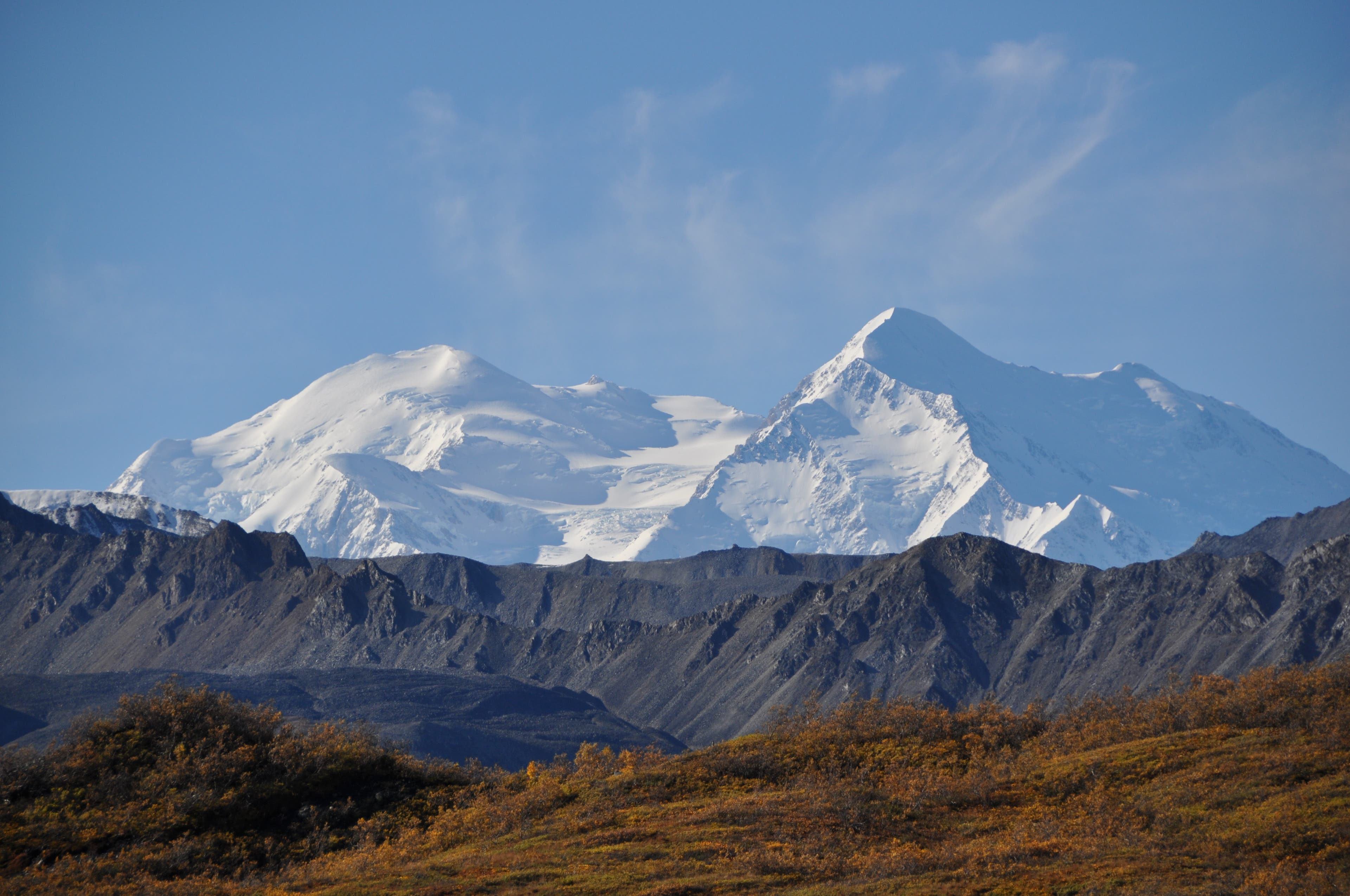
Marvel at 11,000-foot-plus peaks like Mt. Mather, Brooks, Ragged, and more.
Anderson Pass
Location: 63.290703, -150.269456
Anderson Pass lies beyond the clouds.
Bears
Location: 63.351134, -150.376558
A mother and two cubs rolled on the Muldrow.
Contact Descent
Location: 63.377178, -150.277775
Descending Contact Pass.
Mt. Eielson
Location: 63.375262, -150.297008
Mt. Eielson looms over the trail.
Tundra Bench
Location: 63.399562, -150.390561
A tundra bench above Glacier Creek is littered with blueberries.
Marmot
Location: 63.295453, -150.315208
A huge field filled with marmots begins here.
McKinley
Location: 63.357248, -150.379401
Look west here for huge McKinley views.
Scott Peak
Location: 63.365643, -150.35691
Look east to see 8,832-foot Scott Peak.
Thorofare Valley
Location: 63.412391, -150.300946
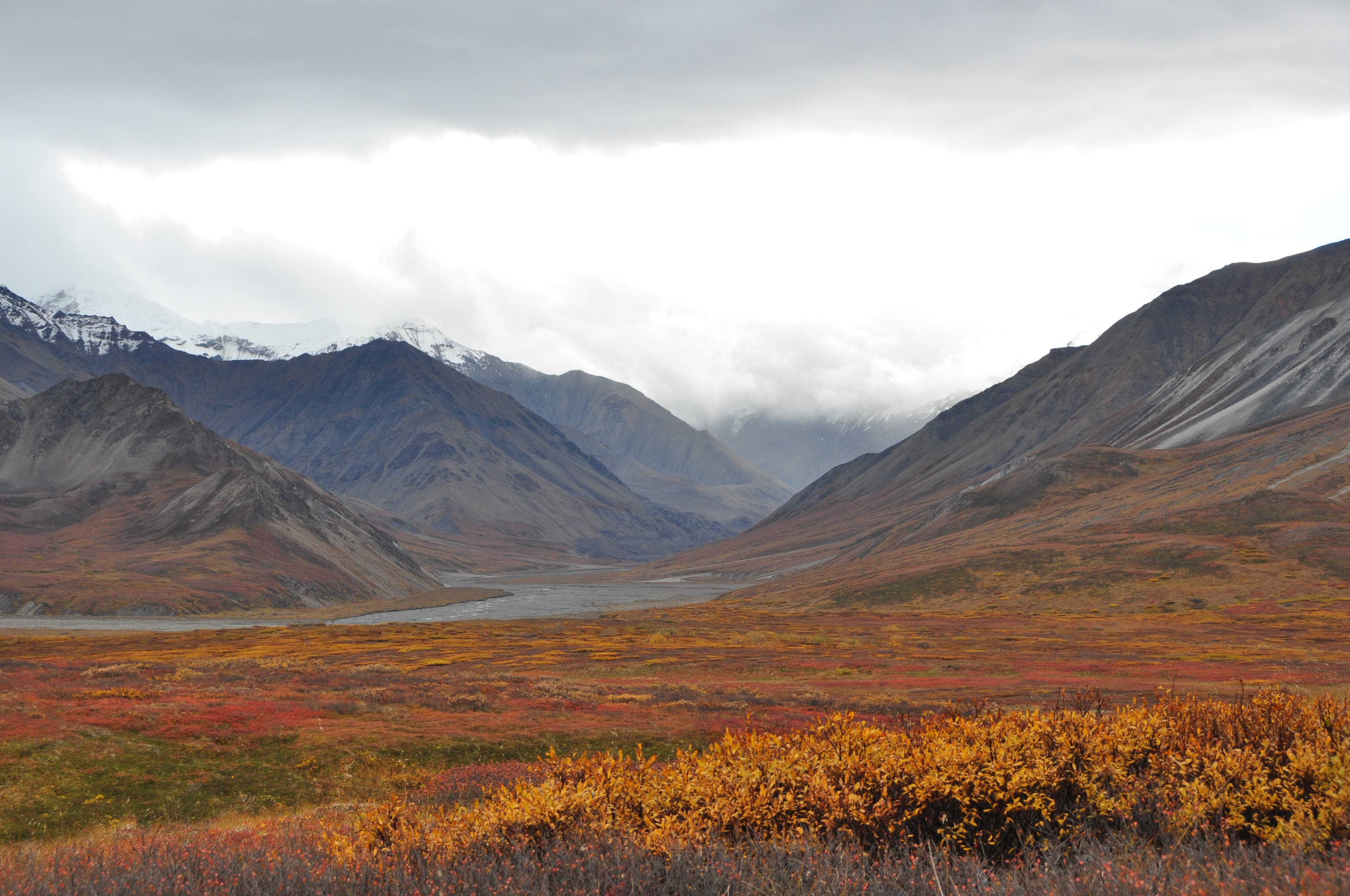
Look south for sweeping panoramas down the Thorofare River Valley.