Published September 20, 2013 02:37AM
Death Valley National Park: Mosaic Canyon
Fascinating rock walls and formations make for an interesting hike up this canyon near Stovepipe Wells Village in Death Valley National Park.
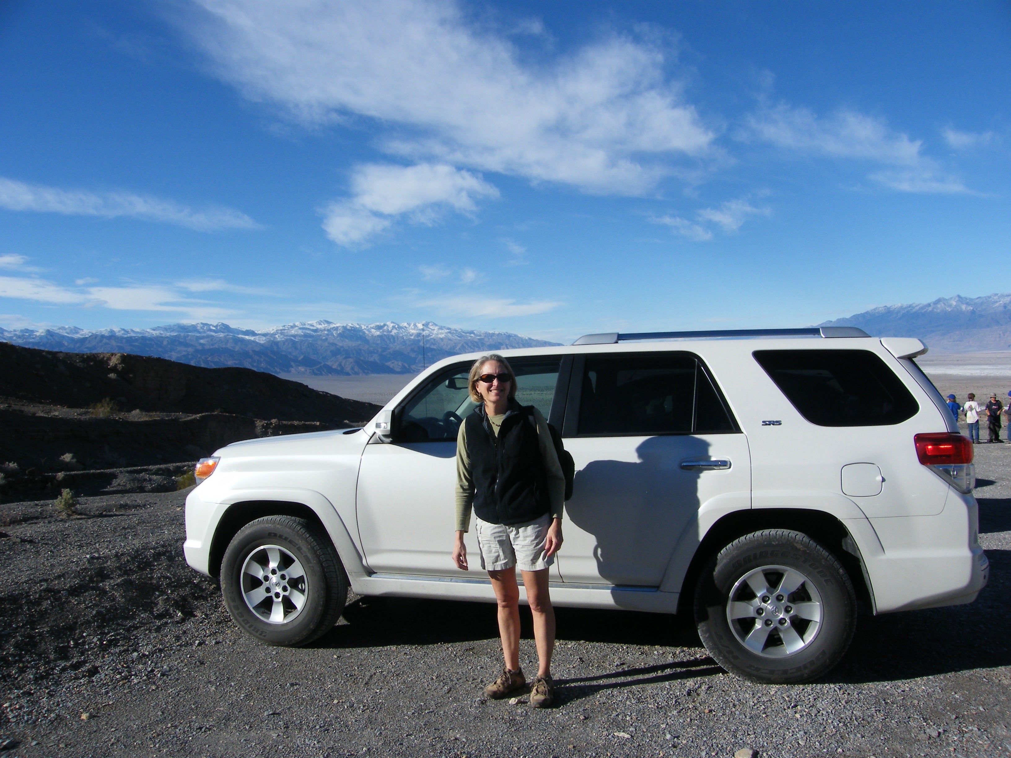
While Stovepipe Wells lies at sea level, the trail head for this hike is a two-mile drive mostly uphill. The road is unpaved, so a high-clearance vehicle is a good idea and, depending on conditions, 4-wheel-drive might be, too. We were in a Toyota 4 Runner and made it easily without using the 4WD.
The first part of the canyon is narrow, with polished marble walls that require some scrambling. The name comes from fragments of rock cemented together by volcanic forces, and there are a number of these ‘mosaics’ along the canyon.
Make this hike in spring, winter, or fall; average high temperatures in May are 99 degrees F, and more than 100 degrees June through September. Even in October, highs can reach 92 degrees. In addition to camp grounds, there are hotel type accommodations at Furnace Creek (high-end), Stovepipe Wells Village, and Panamint Springs (budget).
From the parking lot kiosk, follow the gravel wash to the narrow mouth of the canyon. The trail is loose gravel and polished or layered rock, with many colors. The canyon curves to the right and narrows still more, curves to the right again, then bends to the left and widens out a bit before narrowing yet again, heading up hill all the way. Where it widens out again, you cross layers of tilted rock before the canyon opens wide into the sun. Along this stretch, the wash is loose gravel, but along the right side it is more packed and you can usually make out an actual trail. Just before a turn to the right, large boulders rest in the middle of the wash. After the turn, the walls narrow in again and a bit farther along, a large rock fall blocks the canyon. Those up for more adventure can scramble through the middle of the rock pile, but at this point you’re about two miles from the parking lot, plus that two-mile drive to pavement. Pay attention to the light and plan accordingly so you won’t be caught in the canyon in the dark.
On the way out, pause in the wide area to take in views in front of you of the valley below and mountains in the distance.


Trail Facts
- Distance: 4.0
Waypoints
Trail head parking
ADVERTISEMENT
Location: 36.571829, -117.144253
24-JAN-10 4:38:32PM
Turn
Location: 36.56996, -117.143405
Trail turns to the right into canyon
Bend
Location: 36.568533, -117.143572
Canyon bends to the right here. 24-JAN-10 4:48:30PM
Another bend
Location: 36.56833, -117.143623
Canyon bends to left and widens out.
Canyon narrows
Location: 36.5679, -117.141842
Rock layers
Location: 36.568008, -117.140942
Traverse layered rocks here
Boulders
Location: 36.566673, -117.134822
This part of the hike is through a wide wash; large boulders rest in the middle of it here.
Canyon narrows again
Location: 36.565065, -117.133505
24-JAN-10 5:10:27PM
Rock slide
Location: 36.561909, -117.132852
A large rock slide blocks the trail here, although it is possible to scramble over and continue.
Parking lot
Location: 36.571984, -117.144459
It’s about 2 miles from the paved road to here.
From parking lot to the canyon.
Location: 36.571743, -117.144207
Entering the canyon.
Location: 36.570476, -117.143741
Polished walls.
Location: 36.56964, -117.143354
Narrow point.
Location: 36.56796, -117.141622
Climbing rock stairs.
ADVERTISEMENT
Location: 36.568029, -117.140742
More packed surface on side of the wash.
Location: 36.567701, -117.136552
Into the wide open.
Location: 36.568382, -117.138306
Boulders in the wash.
Location: 36.566512, -117.134621
Rock slide.
Location: 36.562135, -117.132803
One of many ‘mosaics’
Location: 36.564909, -117.13342
View on the way back.
Location: 36.567322, -117.135555