Davenport, IA: Johnson-Sauk Trail State Recreation Area

This 3-mile lollipop loop samples several of the trails in Johnson-Sauk Trail State Recreation Area. Begin at the Singing Bird Trailhead and follow the well-marked Sauk Trail east, rolling through the forested glacial moraine near the park road before turning north and joining the Fox Trail. This route’s 1.5-mile clockwise loop begins at mile 0.75, descending to the lakeshore for a quarter-mile out-and-back along the dam. If it’s camping season (May-November), refuel at the restaurant or park store on the lake’s west side before looping east. Look left for farmland views as the trail turns south and joins the road near the Prophet’s Picnic Area. Merge back onto the trail before closing the loop and retracing the final 0.75 mile to the trailhead.
For a longer hike, hikers can combine the road and extended trail system to circle Johnson Lake on an 8-mile endeavor. After the hike, consider a side-trip to the park’s main attraction: the largest round barn in Illinois.
-Mapped by Ted Villaire


Trail Facts
- Distance: 4.9
Waypoints
JST001
Location: 41.3212995, -89.8873901
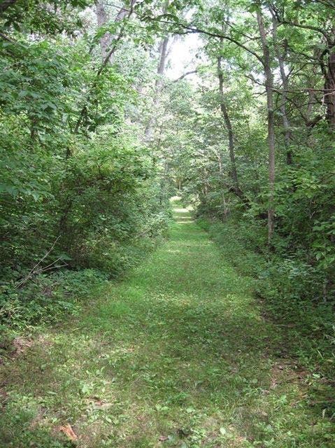
Pick up the Sauk Trail across the park road from the Singing Bird Picnic Area. This straight, wide path rolls gently past wild roses, cone flowers, and stands of elm, oak, hickory, and cottonwood.
JST002
Location: 41.3237087, -89.8765969
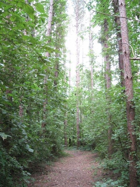
Rolling over a moraine hill, the trail cruises a dense plantation of red pine near the half-mile mark.
JST003
Location: 41.3243855, -89.8769778
Turn left at the 3-way junction onto Fox Trail, which descends through a grove of ash into another pine plantation.
JST004
Location: 41.3238497, -89.8802984
Cross the park road at mile 1 and jog slightly right to the Ojibwa Trail.
JST005
Location: 41.3281119, -89.8817843
Turn left onto Piankashaw Trail for a 0.25-mile round-trip across the dam. Allow extra time for a pit-stop at the park concessionaire. To skip the detour, continue on the trail heading uphill to the east.
JST006
Location: 41.3286517, -89.8845202
The Lakeside Restaurant on the dam’s west side is open seasonally (May-November). Stop in for breakfast, lunch, or dinner if it’s open.
JST007
Location: 41.328277, -89.881044
Turn right and follow the park road 50 yards before turning left onto the Winnebago Trail.
JST008
Location: 41.3263998, -89.8770046
The trail passes through a picnic area near mile 2. Follow the park road south for 20 yards and turn left back onto the dirt trail.
JST009
Location: 41.3243895, -89.8769188
Close this route’s 1.5-mile loop by turning left at the 3-way junction and backtracking to the trailhead.
Johnson Lake
Location: 41.328414, -89.8833346
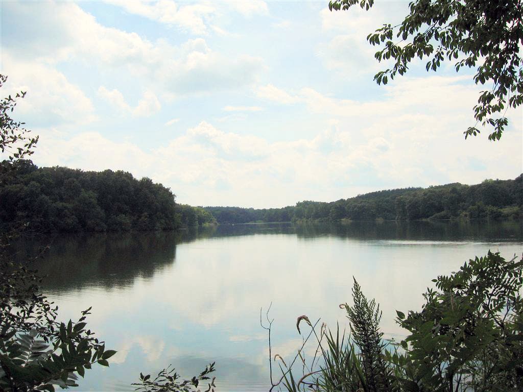
The 58-acre lake is the centerpiece of this 1,365-acre recreation area popular with fishermen, hunters, and, of course, hikers.
Sauk Trail
Location: 41.3212754, -89.8835385
The heavily forested trail is shaded by walnut, pine, ash, and hickory.
Red Pine
Location: 41.3234912, -89.8763609
You’ll cruise this red pine plantation before and after this route’s 1.5-mile loop.