Dallas, TX: Cleburne State Park Loop

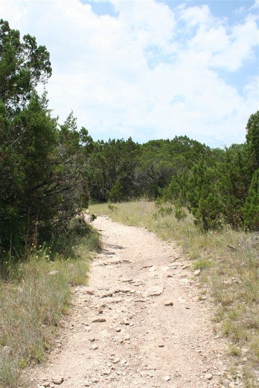
Winding between the shores of Cedar Lake and the edge of Cleburne State Park, this trail starts at the Coyote Run Nature Trailhead and heads northeast through small fir trees and scrub brush toward the highest corner of the park.
One mile from the trailhead, the route turns south and begins a series of climbs along hills and ravines between the park boundary and the lake. Moving into a forest of oak and mesquite, there are several sharp descents that make the dirt trail past the southern lakeshore more challenging.
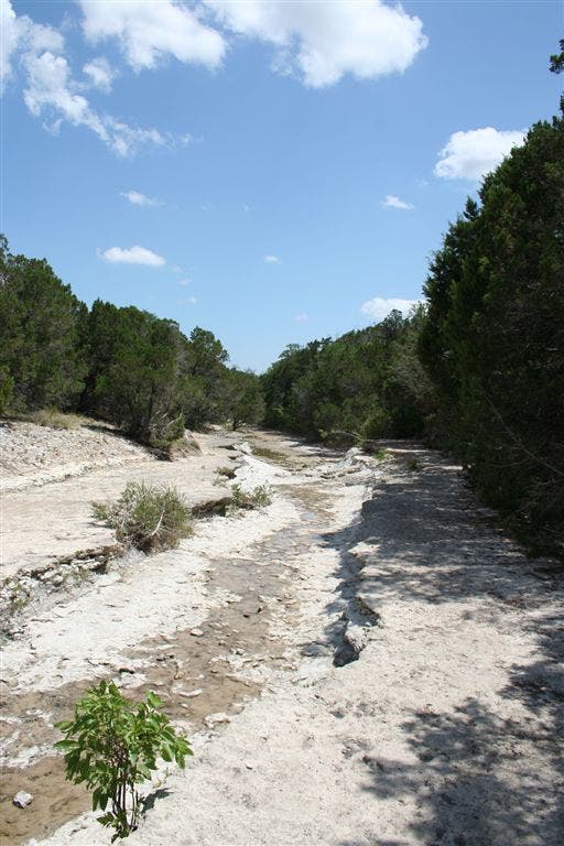
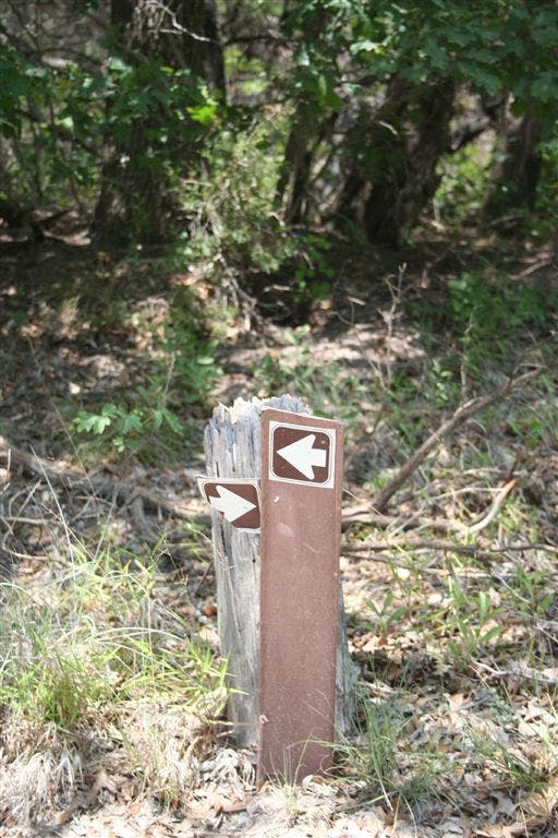
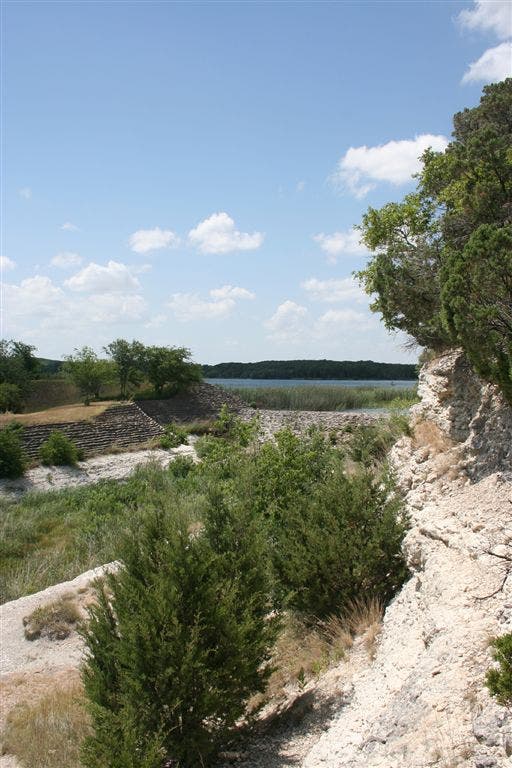
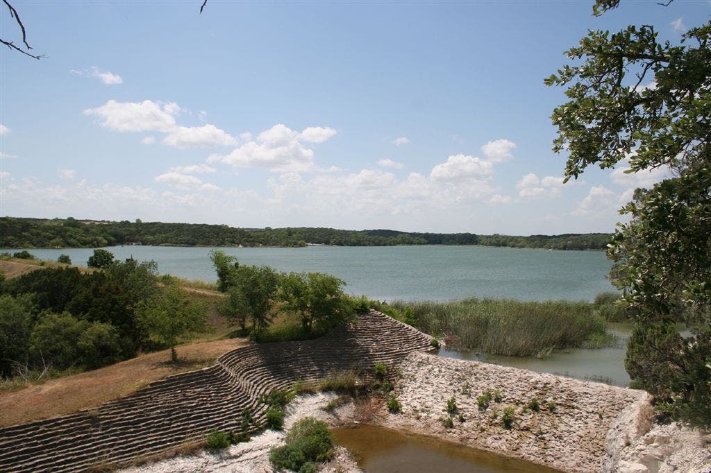
In its southern reaches, there are many spurs off the main trail that lead to the park road and signage can be confusing as the trail turns north to join the Spillway Hiking Trail. Along the Spillway Trail the terrain turns to typical Texas Hill Country—hard rock creek beds and shadeless ridges—and offers the first views of Cedar Lake and its beautiful, 30’s-era masonry spillway. The trail joins the Coyote Run Nature Trail east of the lake and just one mile south of the trailhead.
-Mapped by John Hancock

Trail Facts
- Distance: 8.8
Waypoints
CLE001
Location: 32.2717209, -97.5573273
The trail begins at the Coyote Run Nature Trailhead near the Poplar Point Camping Area. There are restrooms and plenty of parking.
CLE002
Location: 32.2731781, -97.556778
Turn left @ Y-junction to take the unmarked Whispering Meadow Trail.
CLE003
Location: 32.2714958, -97.5604553
Turn tight to follow the trail and the park boundary north.
CLE004
Location: 32.2754402, -97.5634232
Take the sharp left at the park’s northern boundary.
CLE005
Location: 32.2745132, -97.5650406
The trail joins the main park road for 30 yards. Re-enter the woods along the road’s right-hand side.
CLE006
Location: 32.2726212, -97.567688
Turn left to head south along the park’s western boundary.
CLE007
Location: 32.2711678, -97.5665207
A fenced cement slab marks a Y-junction. Stay to the right.
CLE008
Location: 32.2686958, -97.5649033
Cross a wooden footbridge.
CLE009
Location: 32.2678108, -97.5642471
Turn left @ Y-junction.
CLE010
Location: 32.2679176, -97.5637512
Along the park’s western edge several spur trails lead left to the main road. Stay right to continue along this route to the park’s southern boundary.
CLE011
Location: 32.2491608, -97.5485001
Turn left @ Y-junction. Watch your footing on the dirt trail’s steep descents.
CLE012
Location: 32.2510948, -97.5497055
Turn right @ Y-junction.
CLE013
Location: 32.2553635, -97.5519485
Go straight @ 4-way junction where the trail crosses Park Road 21. Join the Spillway Hiking Trail.
CLE014
Location: 32.2590485, -97.5526047
Turn right @ 4-way junction. Cross Spillway Creek and follow the trail uphill.
CLE015
Location: 32.2592926, -97.5518341
Turn left @ Y-junction to follow this route along the spillway.
CLE016
Location: 32.2613716, -97.5523529
Veer left to follow the ridge trail.
CLE017
Location: 32.2648354, -97.5514755
Turn right @ Y-junction to head north along the well-marked Coyote Run Trail. The trailhead is 1 mile away.
CLE018
Location: 32.2712517, -97.5544128
Stay left @ Y-junction.
Coyote Run Nature Trailhead
Location: 32.2717247, -97.5573349
This route shares a trailhead with the 2-mile Coyote Run Nature Trail.
Wildflower
Location: 32.2742157, -97.5625458
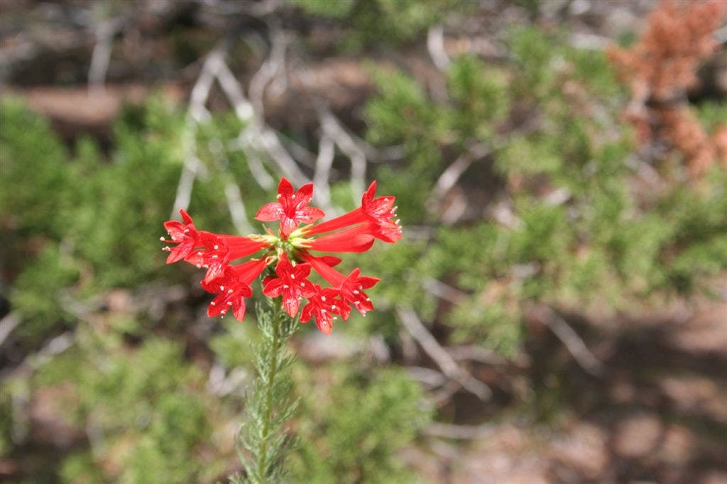
In the spring wildflowers color open areas throughout the park.
Bridge
Location: 32.2686958, -97.5649185
Use this footbridge to cross a creek bed dividing the trail.
Armadillo
Location: 32.2683258, -97.5646667
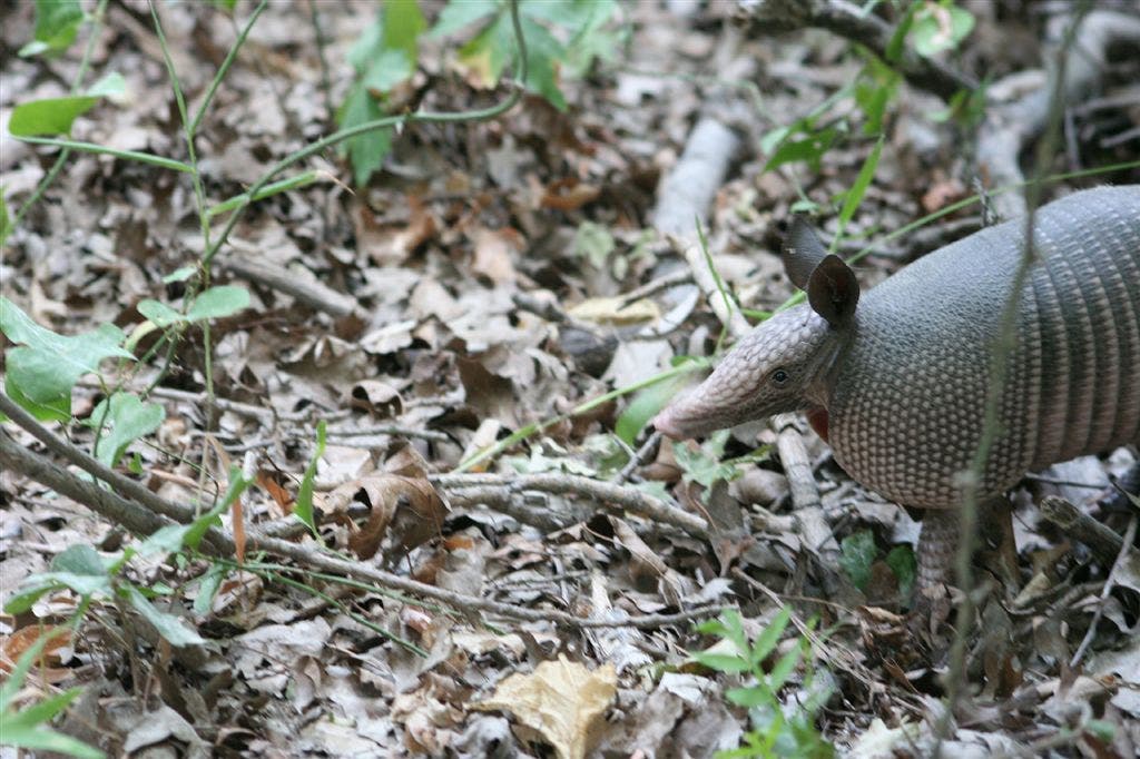
This wandering armadillo is at home in the park. Other local wildlife includs white-tailed deer, skunk bobcat, coyote and others.
Spillway Creek
Location: 32.2590561, -97.552597
Looking south along the Spillway Creek.
Confusing Sign
Location: 32.2592888, -97.5518417
Although the signs can be confusing, both trails lead to the spillway.
Ridge View
Location: 32.2613716, -97.5523605
A view of the masonry spillway and the lake from the ridge.
Cedar Lake
Location: 32.2629395, -97.5525208
View of Cedar Lake.