Published September 20, 2013 02:38PM
Dallas: Dogwood Canyon Trail
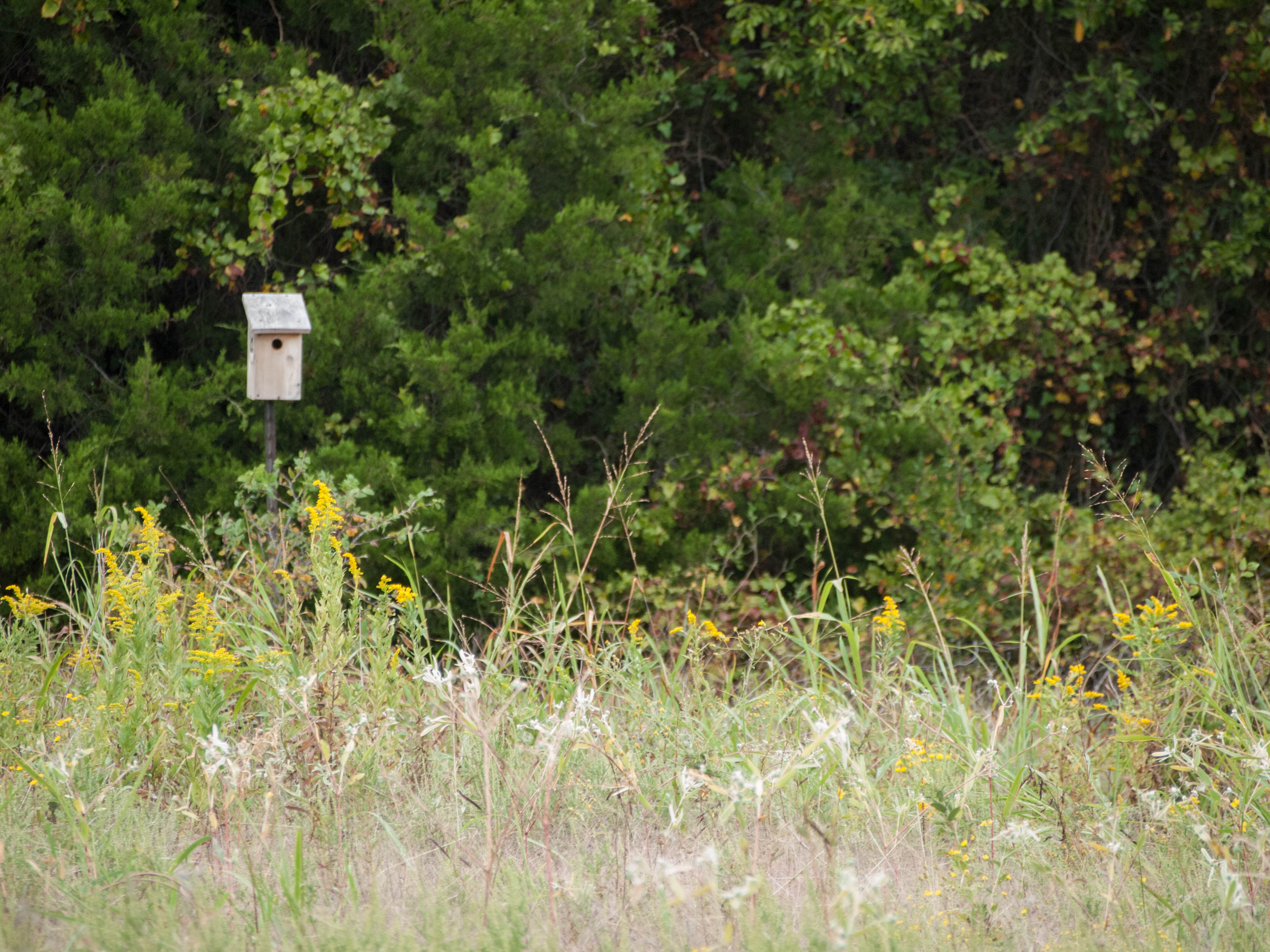
Find an oasis of thick cypress groves, lakeside coves, and nesting bald eagles on this 4.8-mile lollipop loop in Ray Roberts Lake State Park.
'Blake Burkhart'
Trail Facts
- Distance: 4.5
- Miles from city center: 64
Waypoints
DCT002
Location: 33.4226608276367, -97.0559463500976
R @ Y; head downhill over short, rocky section; in 50 yds., R @ Y toward primitive campsites
DCT003
Location: 33.4265518188477, -97.0577926635742
R @ Y, staying on multiuse fi re track
DCT004
Location: 33.4274101257324, -97.0588684082031
Emerge into grassy meadow (designated a backpackers’ campsite). Trail descends slightly, crosses bridge, then returns to thick woods.; in .1 mi., cross 2nd bridge
DCT005
Location: 33.42333984375, -97.0604019165039
First of backwoods campsites; continue by going R
DCT006
Location: 33.4217300415039, -97.0626373291016
L @ Y
DCT007
Location: 33.419750213623, -97.0613632202148
Pass 2nd primitive campsite; continue straight
DCT008
Location: 33.4144401550293, -97.0607833862305
Continue along fi re track. Warning: Many side trails to explore, or get lost on
DCT009
Location: 33.4115295410156, -97.0605087280274
Trail splits. Turn R @ Y to begin a short lollipop loop.
DCT010
Location: 33.4100303649902, -97.0603866577148
Continue E toward lake
DCT011
Location: 33.4098281860352, -97.0572814941406
ADVERTISEMENT
Spur: Turn R @ Y through tall grass down to brown-
gravel beach with open views of 29-acre Lake Ray Roberts. To continue, return to WPT 11 and go L @ Y to close loop @ WPT 9; backtrack to trailhead