Dallas: Cross Timbers Trail


Trail Facts
- Distance: 14.3
- Miles from city center: 87
Waypoints
CTT001
Location: 33.8594818115234, -96.8382797241211
Start @ Cross Timbers trailhead just N of lot
CTT002
Location: 33.8490409851074, -96.842399597168
Stroll high above lake along rocky ledges; pass several fine campsites. Follow trail along edge of last site to signpost
CTT003
Location: 33.8447189331055, -96.8508834838867
Trail temporarily ends; go L, pass Cedar Bayou Resort (stay on road)
CTT004
Location: 33.8425407409668, -96.8510284423828
Lunch break: Turn R and grab some BBQ at the floating dock restaurant (open in summer); return to road, turn L
CTT005
Location: 33.8410186767578, -96.8491363525391
Enter gates; take sharp R into picnic area. Trail starts again on L side, winding around bayou fingers
CTT006
Location: 33.8359794616699, -96.8565368652344
Keep straight @ T. Sidetrip: Turn R for 2 steeper mi. on Lost Loop Trail; return to Cross Timbers @ WPT 7
CTT007
Location: 33.8377113342285, -96.8595123291016
Keep straight @ T (if coming from Lost Loop, turn R)
CTT008
Location: 33.8422698974609, -96.8650207519531
Continue by bayou and through Five Mile Camp; begin steep climb
CTT009
Location: 33.8470993041992, -96.8672180175781
Swing R to camp @ Eagle Roost or swim @ black clay beach; return to WPT 9, continue hiking
CTT010
Location: 33.8468704223633, -96.8710174560547
Scramble over outcropping of large boulders
CTT011
Location: 33.8412590026856, -96.8819274902344
Trail joins access road; veer R @ edge of woods, then cross creek on wooden bridge; turn R @ T
CTT012
Location: 33.8523902893066, -96.8822326660156
Paw Paw Creek trailhead lot. Pick up shuttle or retrace to Juniper Point
Bayou Overlook
Location: 33.8471031188965, -96.8710174560547
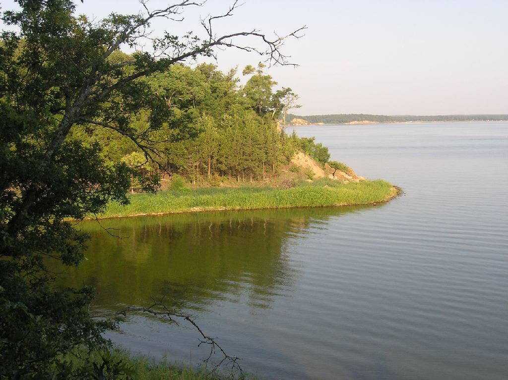
Blackjack oaks line the grassy banks of Lake Texoma.
©Lorraine Pace