Published November 24, 2020 06:12PM
Desert Treasure
Coyote Gulch Trail, Glen Canyon National Recreation Area, UT
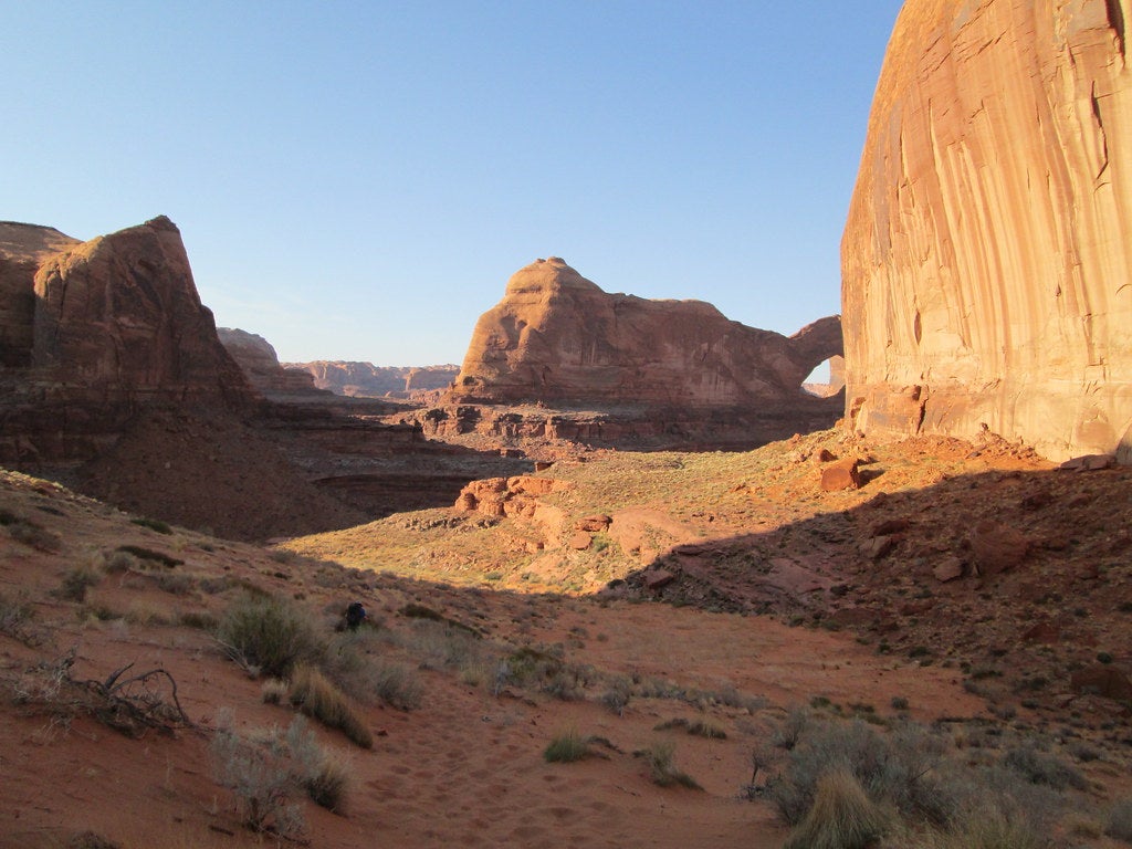
An enormous sandstone arch looms overhead, almost glowing orange in the light of the setting sun. I pause for a moment to gawk, weary feet forgotten, as the sunbeams slide down the canyon wall. The only sound is the river at my feet, a tributary of the Escalante—not even the wind disturbs the desert stillness. Glancing briefly away from the arch, I drop my pack to the gravel and rummage for a down jacket to keep me comfortable for the last couple miles to camp. There’s a chill in the air, growing deeper as the light fades; it’s fall in canyon country.
Turn by Turn From Hurricane Wash
1) Cross the road, then follow the wash up to a trail register. After signing in, continue 5.5 miles to the river, where you’ll enter Coyote Gulch.
2) Turn right and enter the canyon, following the river as the walls narrow.
3) Reach Jacob Hamblin Arch and your campsite at mile 7.
4) The next day, throw together a daypack and head 1.5 miles up the canyon to Coyote Natural Bridge. This broad arch spans the entirety of the river, shading a few scattered trees.
5) Continue past Coyote Natural Bridge to a series of waterfalls from miles 11 to 13.
6) At mile 13.4, reach the Escalante River. This is a good turn-around point for backpackers, before any serious scrambling.
7) Retrace your steps to camp.
8) The next day, reverse your route back to the trailhead.
Campsite
Pitch your tent in the shadow of a classic desert arch at the Jacob Hamblin campsites. The ones directly across from the arch have better views but not as much shade, while the sites around the corner have more privacy. A reliable spring bubbles out of the canyon wall just upstream of the arch, but pack in water for the dry first 5.5 miles of the hike.
ADVERTISEMENT
Rising Above
Utah’s canyon country is famous for its arches, but how do these geologic features form? The answer: thousands of years of wind and water. Desert winds carry sand particles with them, blasting against sandstone fins pushed above the surrounding desert by faults, underlying salt layers, or the formation of a river canyon until they’re hollowed into an arch. Water can shape these desert sculptures, too, whether by frost expansion (when ice forms in cracks in the rock, expanding and then breaking off flakes of stone) or by the collection of acidic rainwater in depressions on the surface (which is how Double Arch, in Arches National Park, was formed).
Trailhead 37.3855, -111.1323 Road Conditions Unpaved, but usually passable with 2WD Season Spring through fall Permit Required (free), available at Escalante Visitor Center Contact Glen Canyon National Recreation Area