Coos Bay, OR: John Dellenback Dunes Trail

Stretching forty miles down Oregon’s coast between the towns of Florence and Coos Bay, the Oregon Dunes National Recreation Area is a magnet for hikers, beach combers and off-road enthusiasts from all over the state.
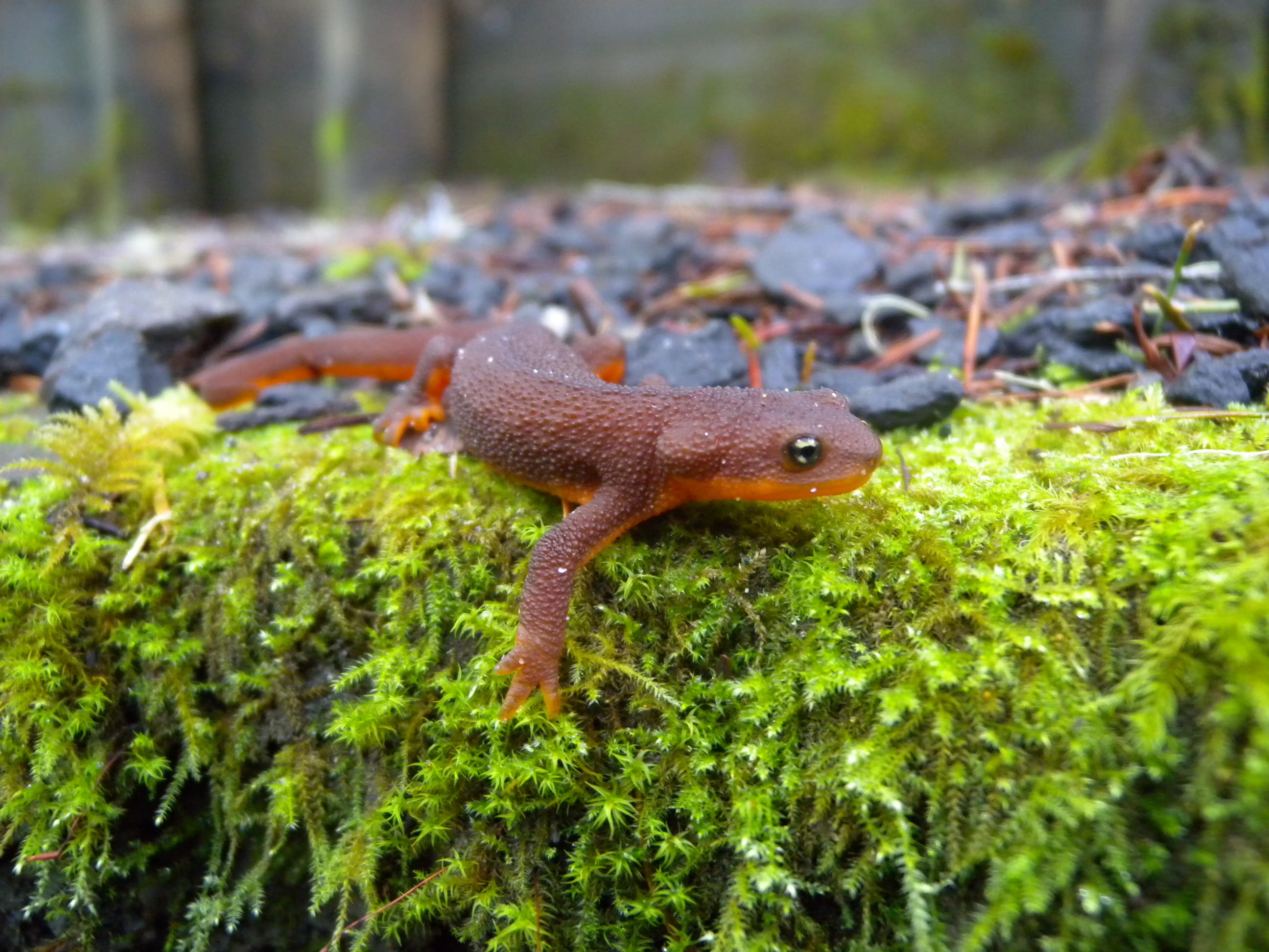
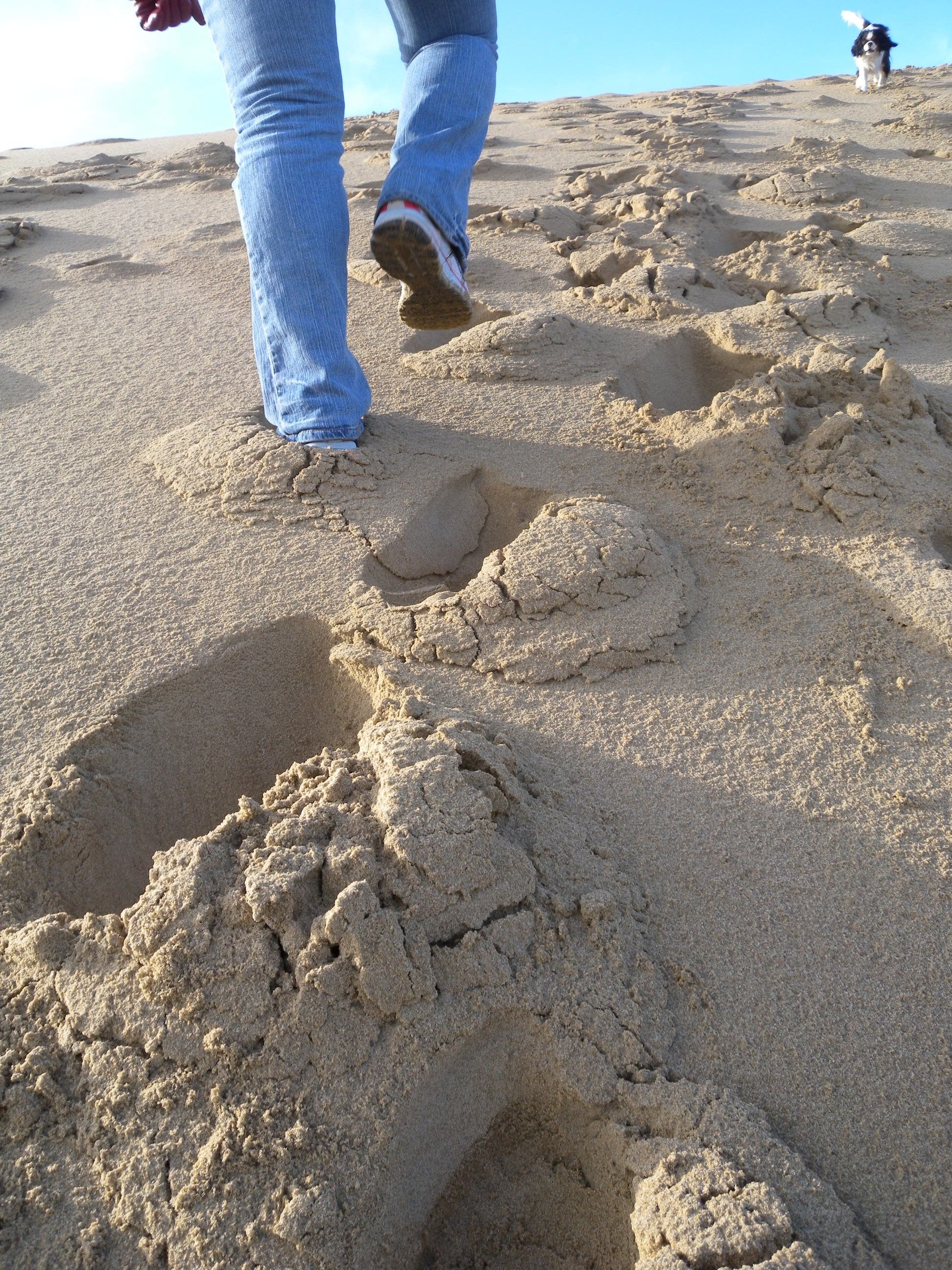
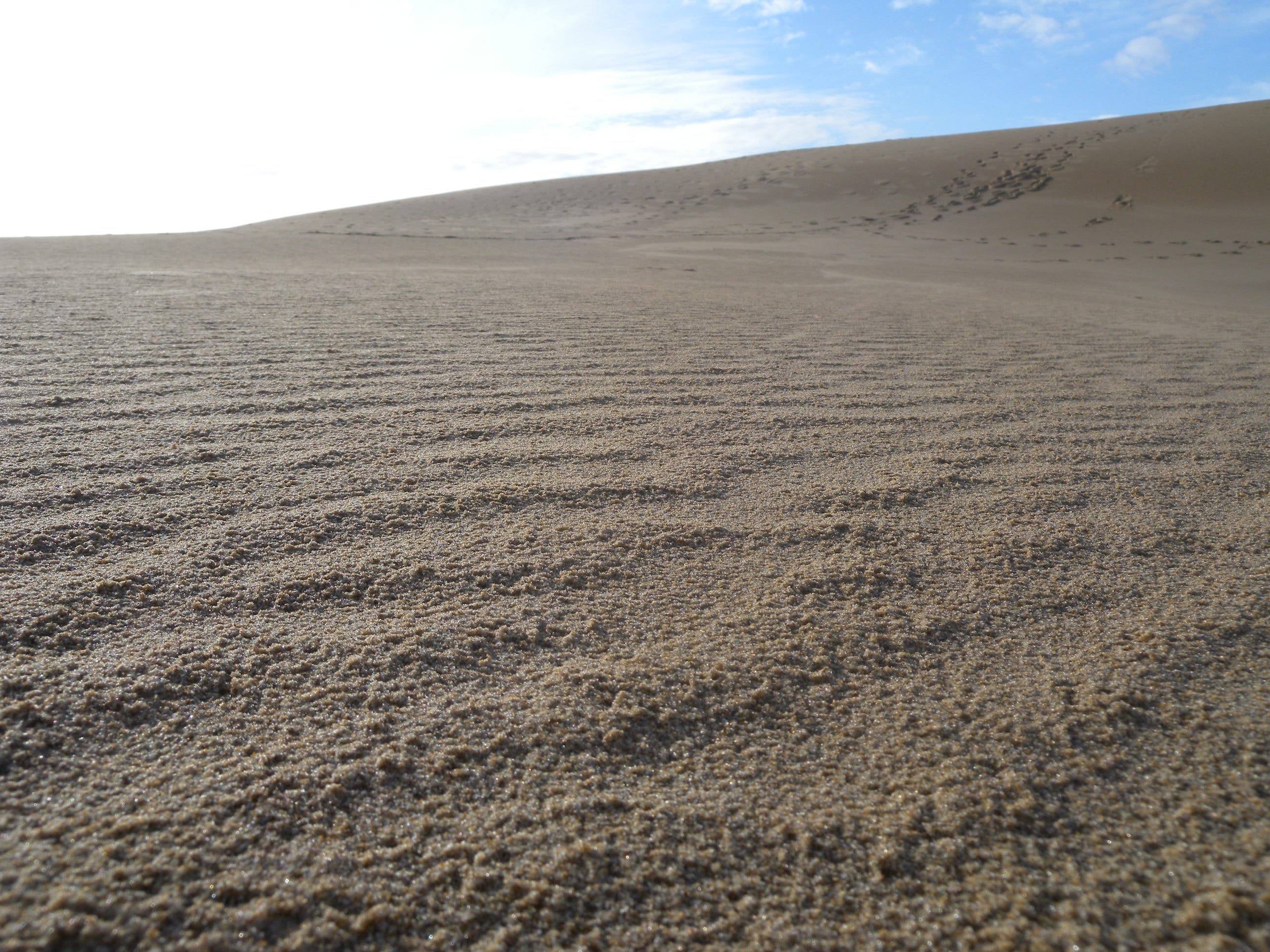
This 5-mile hike begins at a large, well-equipped trailhead just off US-101 and crosses over a large creek before heading into the woods. Half a mile of mossy rainforest—look for newts and mosses galore—precedes the 1.5-mile stretch of dunes that make up the largest portion of this hike. The wind whips the fine, tan-colored sand into steep-faced mounds and soft, round depressions that beg for exploration and sand-slide-inducing dives. Even if you don’t plan to continue to the shoreline, just over 2 miles away, plan to spend some time wandering the dunes before looping back on the south side of the John Dellenback loop toward the trailhead.
If you do plan to continue toward the Pacific, hike west and loosely follow a series of wooden trail markers toward the stretch of forest separating the beach from the dunes. After an hour of hiking across the soft sand—more if it’s windy and/or the sand is super dry—you’ll hit a well-marked trail alongside a patch of forest. Follow the trail north and duck into the trees for the final three-quarters of a mile. A narrow, grass-covered dune area precedes the beach which stretches north and south as far as you can see.
-Mapped by Kristy Holland
Trail Facts
- Distance: 8.2
Waypoints
JDD001
Location: 43.584102, -124.184945
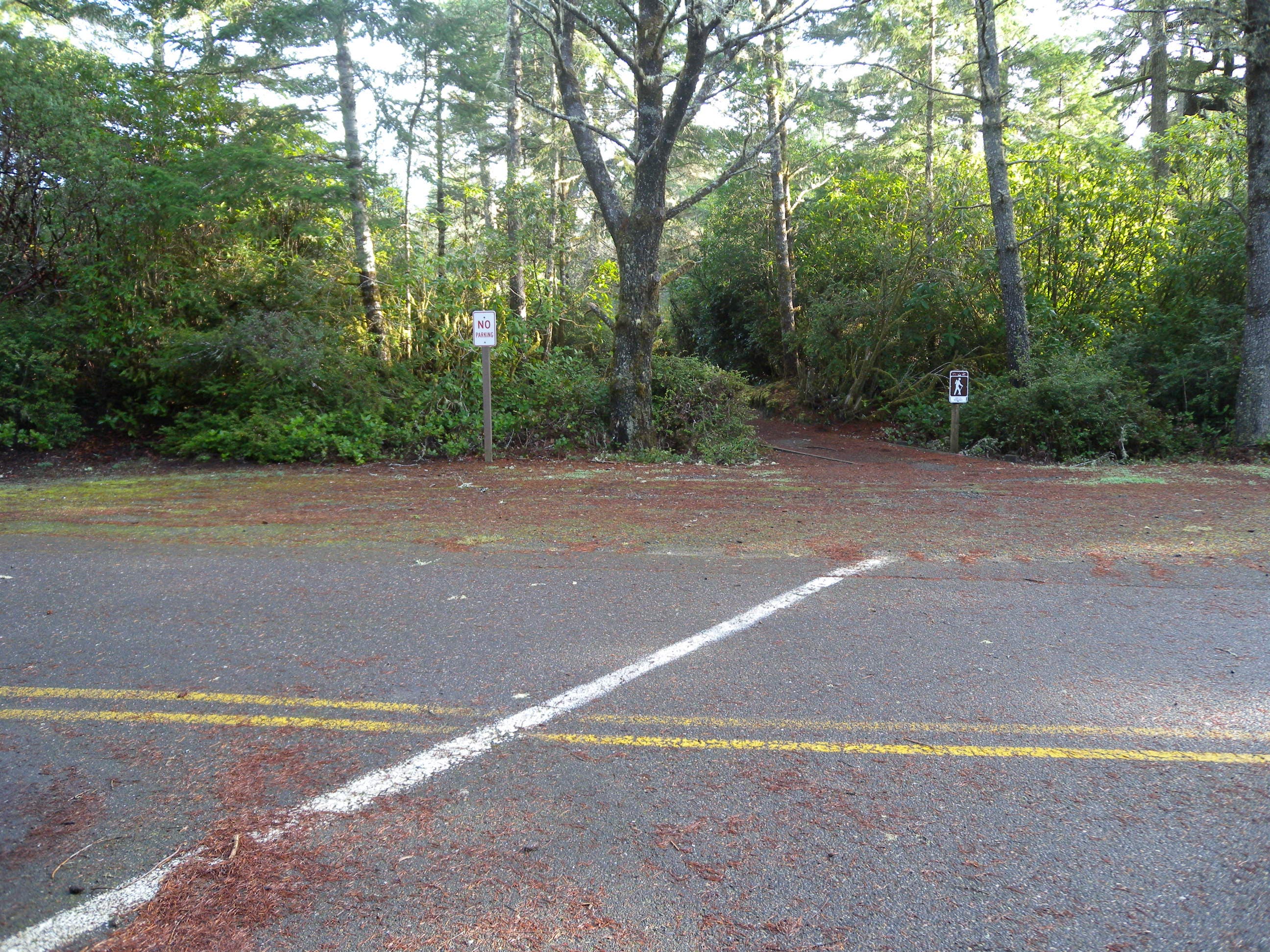
The trailhead has lots of parking and toilets, but no water or other services. Bring cash to pay the small day-use fee before hitting the trail near the map kiosk on the lot’s north side.
JDD002
Location: 43.584288, -124.185036
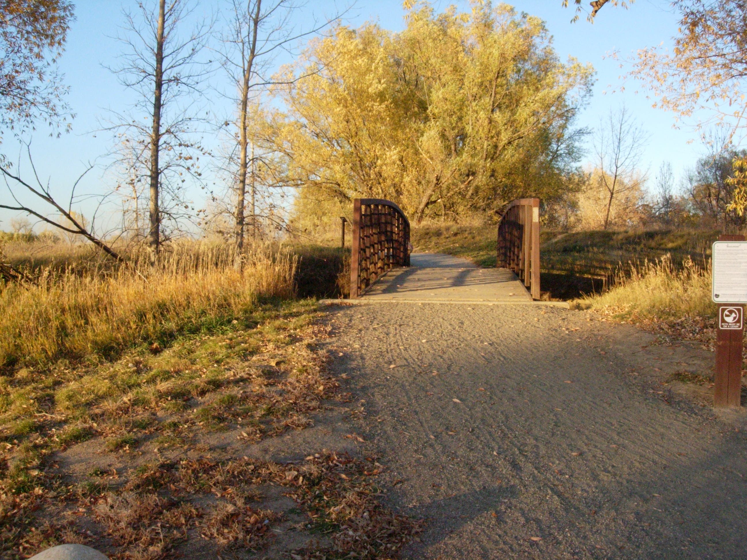
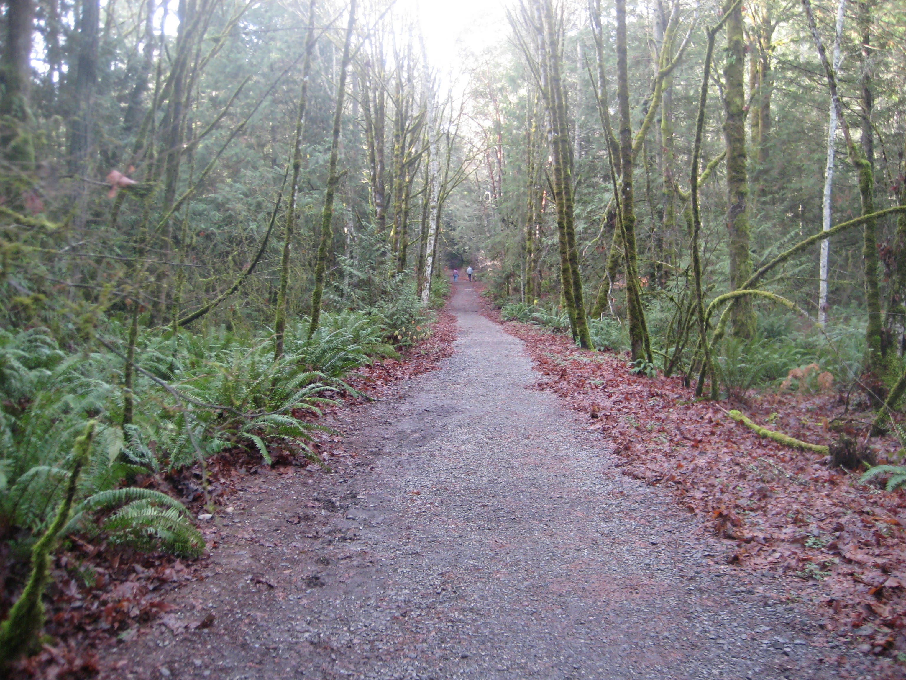
Cross the footbridge heading west into the woods and follow the trail gently uphill. The well-trod path is 3 feet wide, smooth, and easy to follow through the rainforest.
JDD003
Location: 43.584797, -124.18613
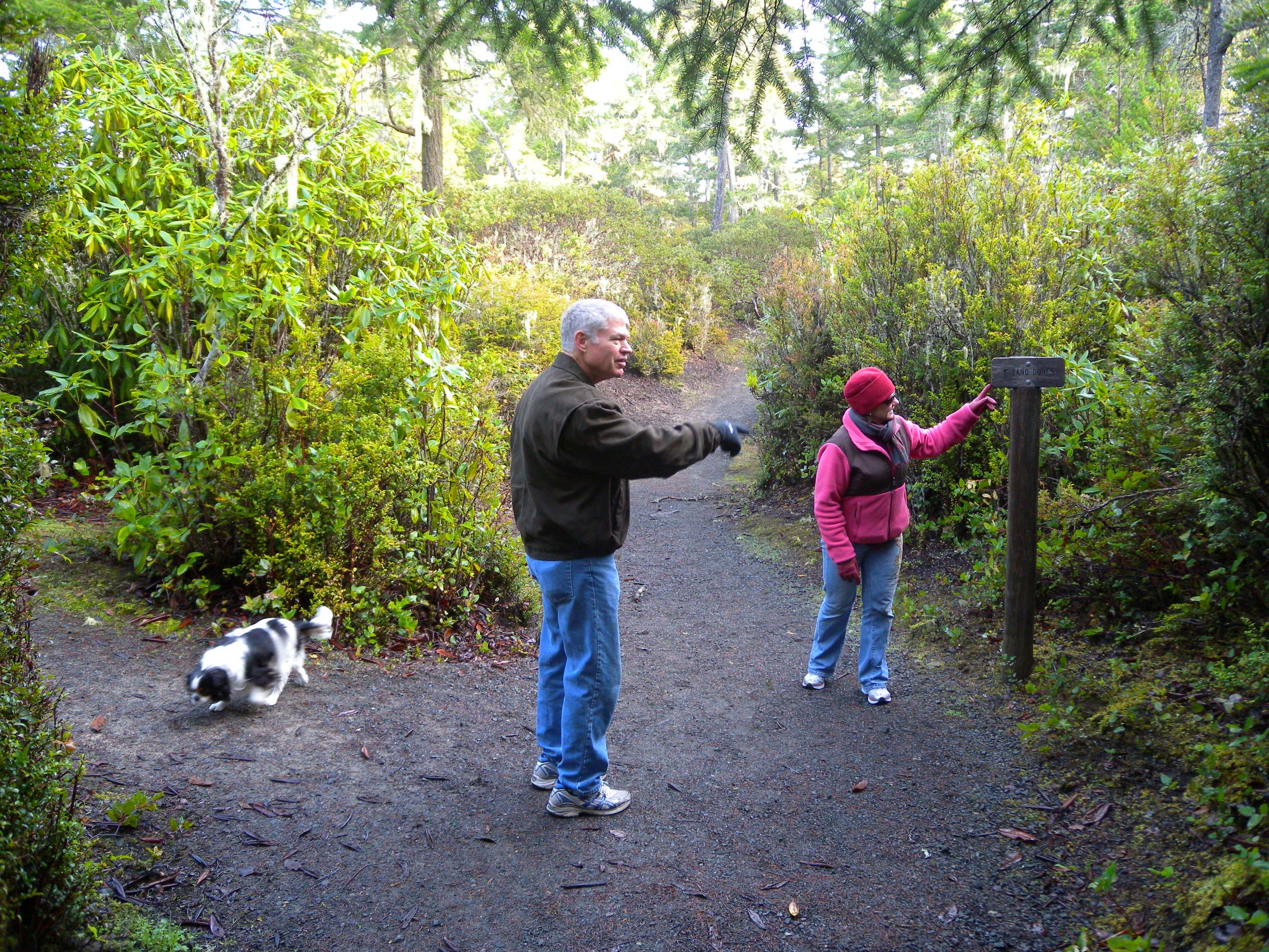
Stay straight at this 3-way junction and follow the sign toward the dunes. Though both trails emerge onto the dunes at the same point, this route follows the northernmost half of a short loop for mellower grades and a solid trail surface allowing easier access to the dunes. Plan to follow the loops southern half on the return trip and re-join the main trail here.
JDD004
Location: 43.58709, -124.18723
Continue on the footpath across the road. There are a few parking spots here and some traffic from the nearby campground.
JDD005
Location: 43.587489, -124.188829
Bear left at this Y-junction to continue toward the dunes. The right-hand trail leads to the Eel Creek Campground-an alternative access point if the main parking lot is full.
JDD006
Location: 43.587343, -124.189509
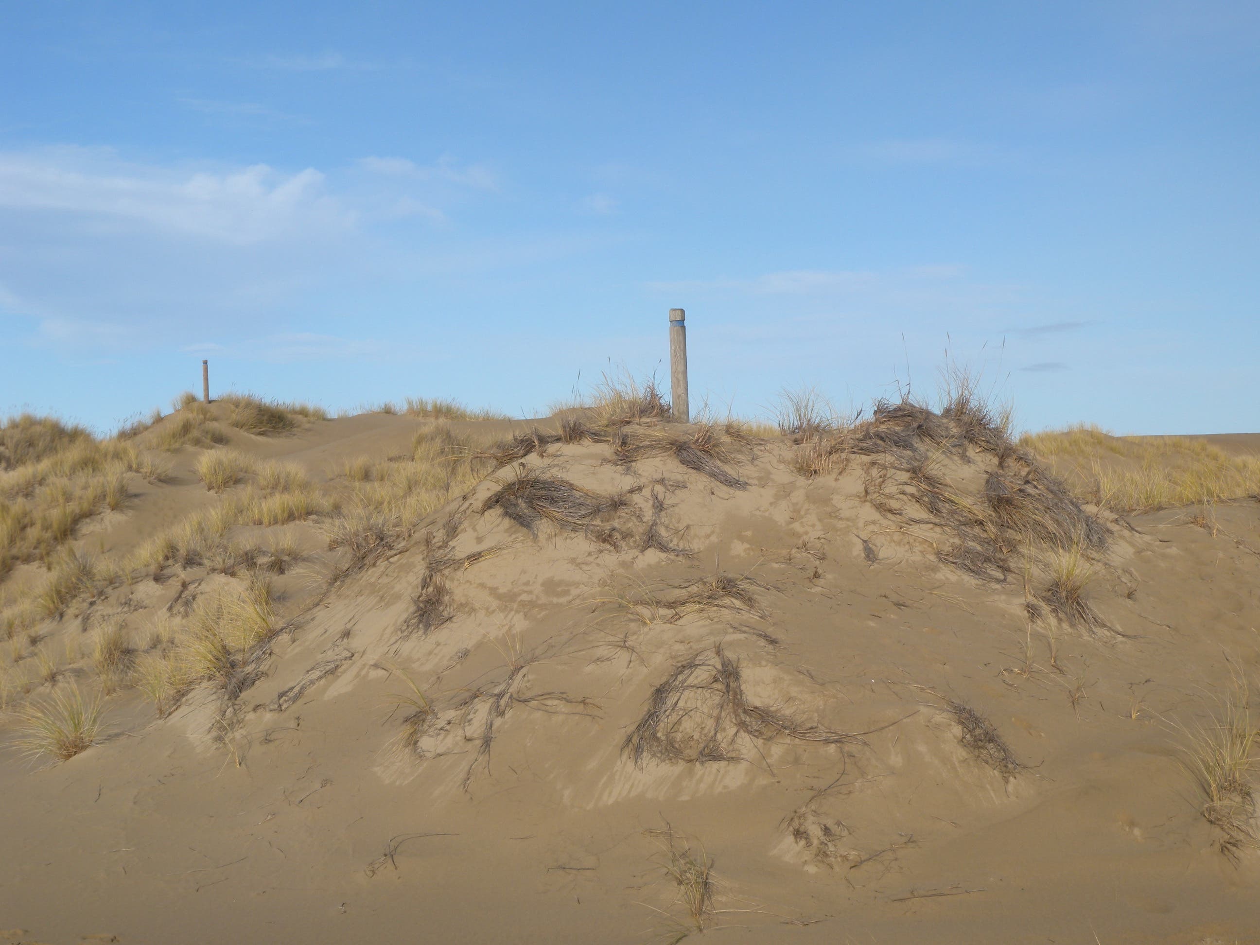
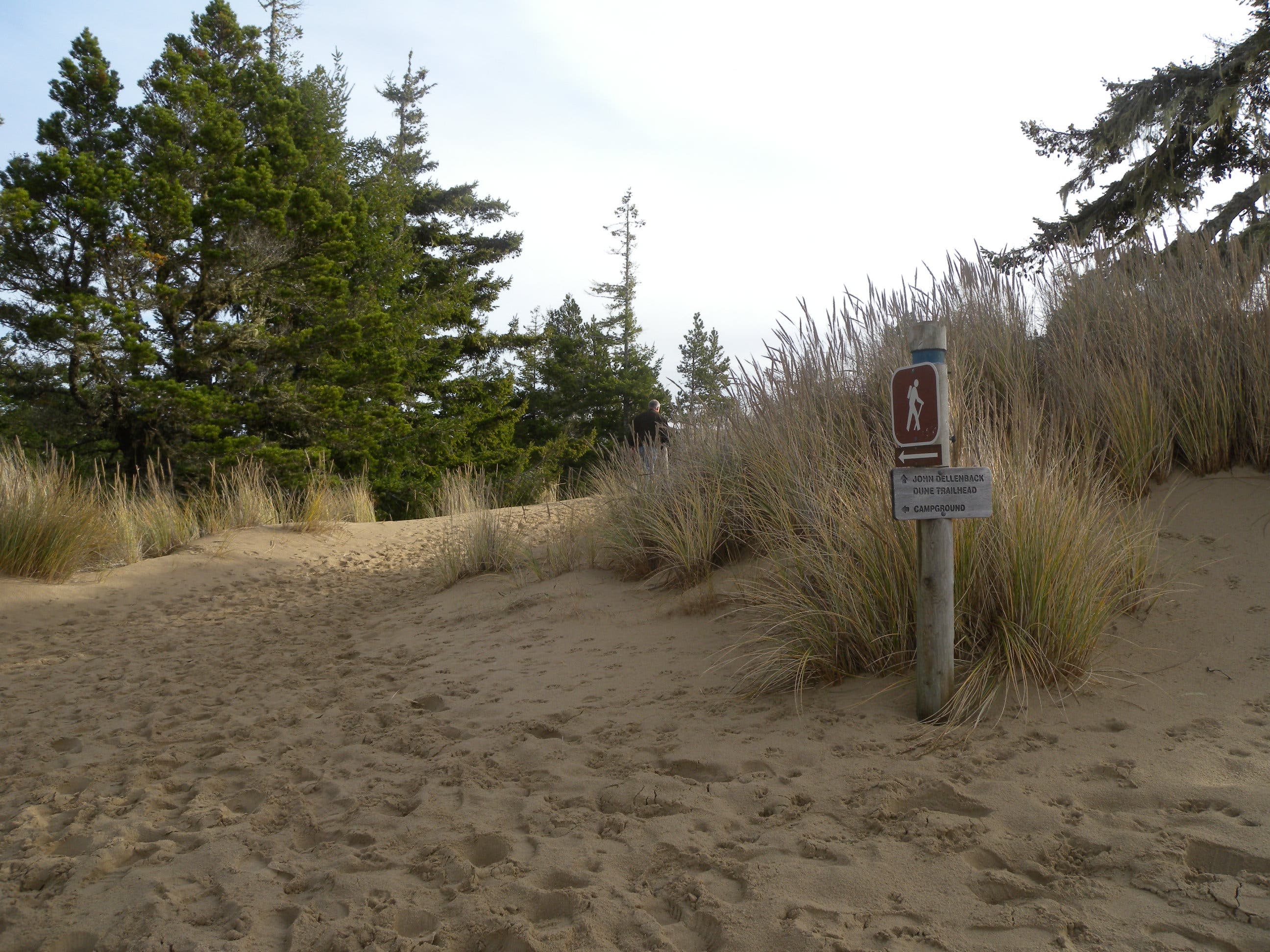
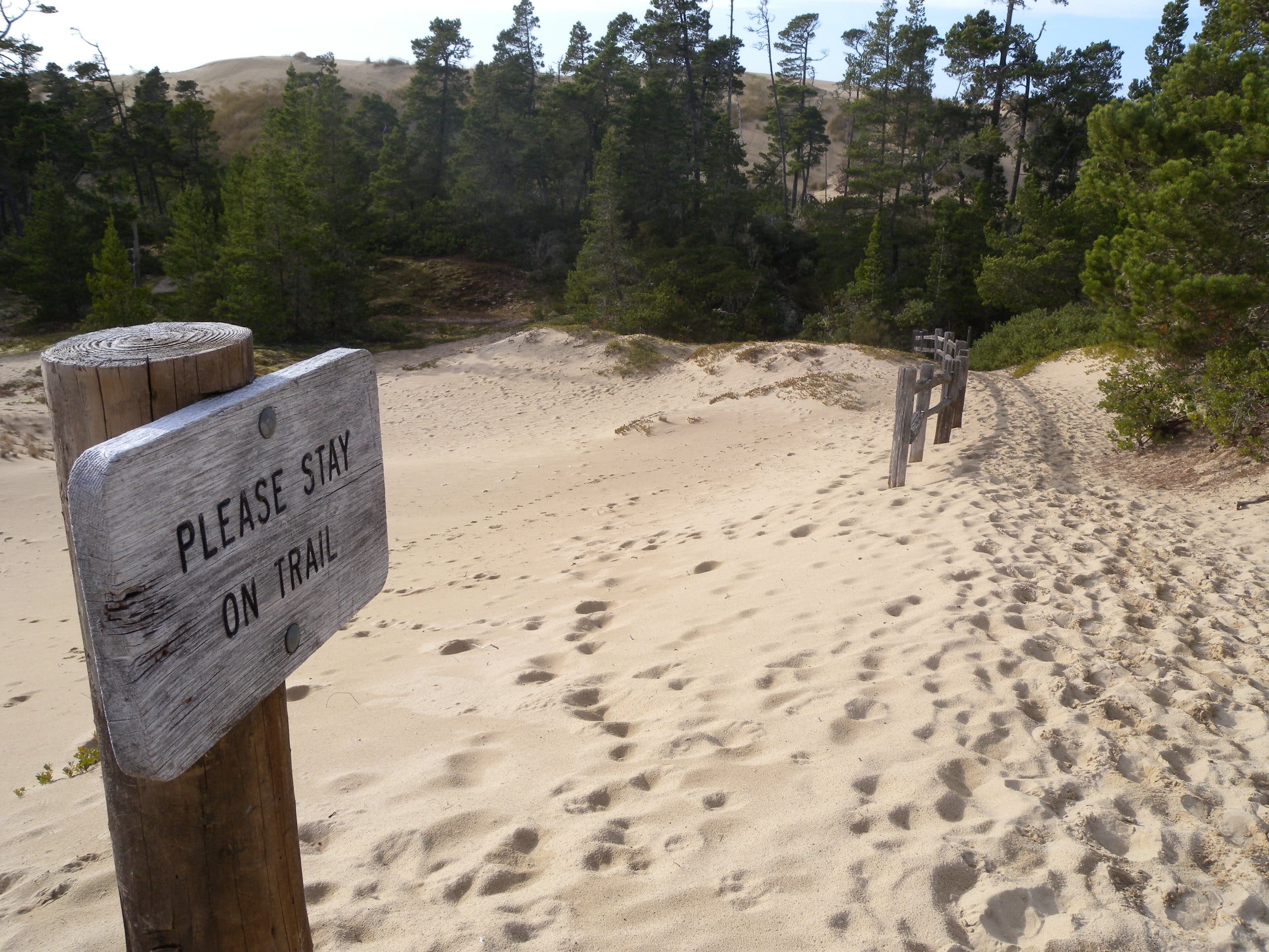
You might catch a glimpse of the dunes through the trees just before spilling onto the sand at this transition point. The “trail” through the dunes is marked by a series of widely-spaced wooden posts that lead due west. Expect to wind atop the dunes and follow its contours for a more circuitous route that offers ocean views. From the dune tops you’ll likely hear the roar of the ocean, the cars on US-101, and dune-buggies nearby. Though motorized vehicles (motorcycles, dune buggies, and ATVs) are allowed in some areas of the recreation area, this hike cruises an area that is closed to motor traffic.
JDD007
Location: 43.590059, -124.207542
You’ll hike TK miles (as the crow flies) across the sand. Be on the lookout for wooden posts marking the “trail” across the dunes and then north alongside the forest that borders their west side. The dunes are more reminiscent of the Sahara than you might expect for the Oregon coast, and shifting sands change the landscape, so expect different contours each time you visit. Allow plenty of time to explore the rolling mounds and be sure to climb to the top of one for a preview of the crashing Pacific shoreline.
JDD008
Location: 43.592079, -124.213464
Turn north at the treeline and follow the well-beaten path until it cuts through the forest toward the beach.
JDD009
Location: 43.59556, -124.214623
A short, wooded portion of the trail can be wet and muddy, or dry and sandy. The short trail through the forest opens up into dune meadows several times and there’s also a small bridge across an ephemeral marsh.
JDD010
Location: 43.59786, -124.221897
Cruise a small stretch of grassy dunes before dropping to the wide, sandy Pacific beach. Look for Snowy Plovers, gulls and miles of empty beach–perfect for a picnic lunch. After enjoying the sand, backtrack on the Umpqua Dunes Trail toward the dunes and bee-line east toward the John Dellenback Dunes Trail.
Bridge
Location: 43.584269, -124.185081
The trail begins on this bridge.
Junction
Location: 43.584782, -124.186122
The first junction is signed, but vandalism makes it confusing. Though you could go either way, this route takes the preferred outbound trail to the north.
Lake
Location: 43.586888, -124.186564
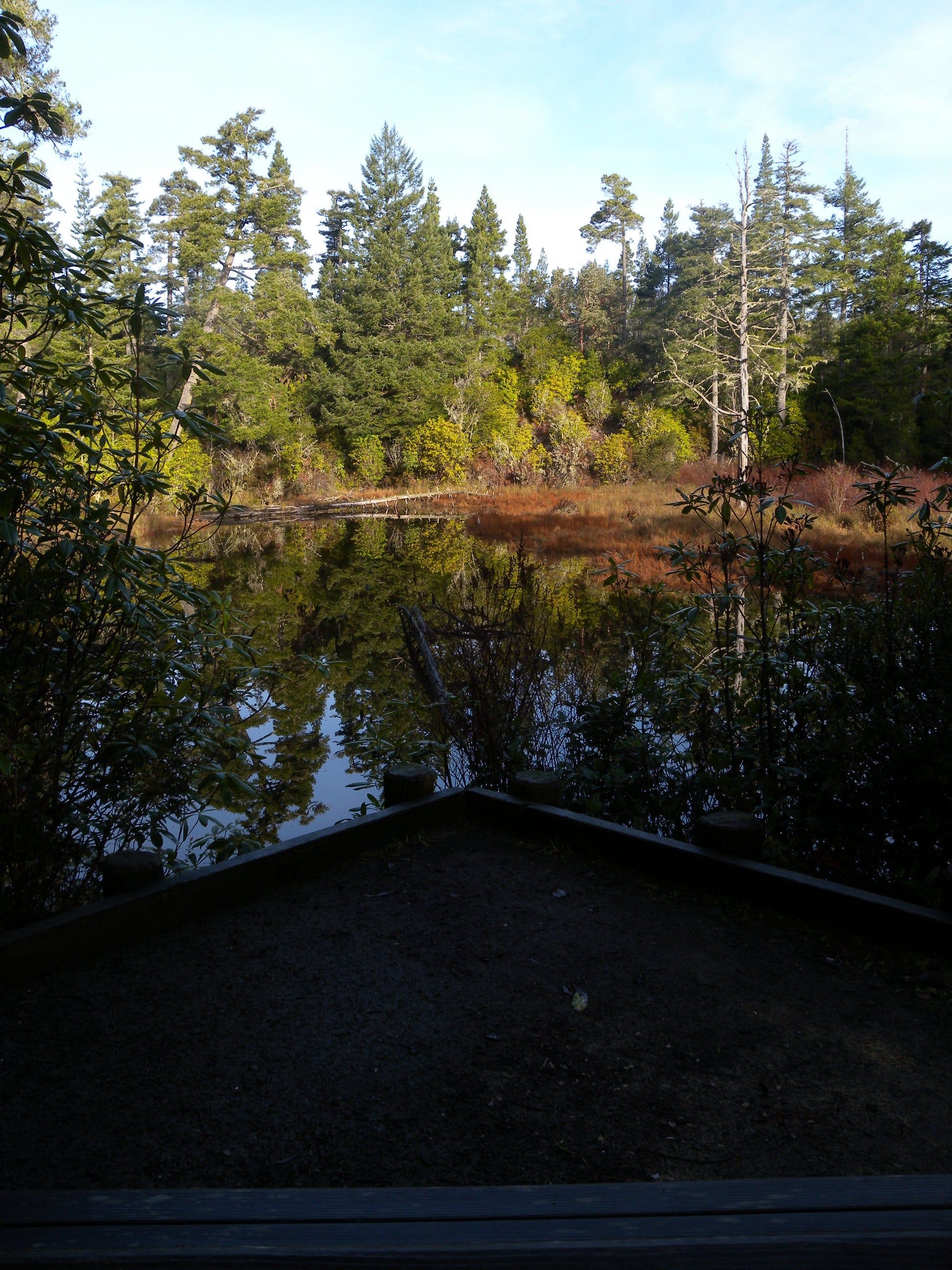
The first stretch of trail skirts a small lake and a bench offers a nice resting spot.
Road
Location: 43.587082, -124.187224
The trail is marked across the campground road.
Newt
Location: 43.587323, -124.187661
The rough-skinned newt is poisonous, but you’d likely have to eat one to feel any adverse effects. Despite little risk, keep your hands off and keep leashed dogs away from this common species.
Climbing
Location: 43.586767, -124.190813
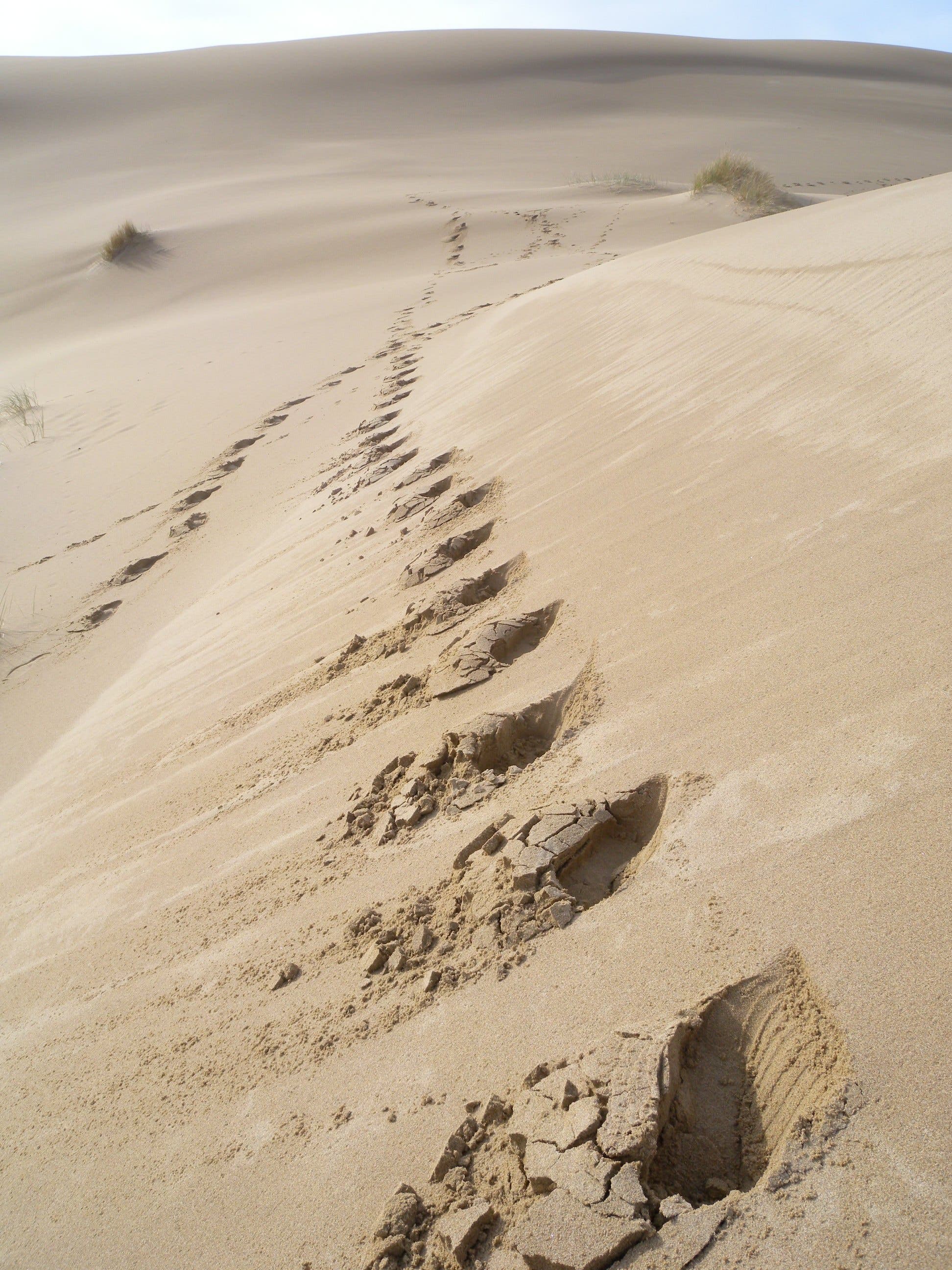
Steep inclines and soft sand on the dunes.
Dunes
Location: 43.587409, -124.195979
Trail Markers
Location: 43.588139, -124.199814
These 5-foot wooden posts mark a “trail” across the dunes. Try to keep one in sight to help you keep your bearings as you traverse the open expanse.
Sand
Location: 43.589414, -124.205967
Soft-sided hills and steep dune faces make for fun photo ops and soft landings.
Trail Marker
Location: 43.59469, -124.213075
The path through the forest is marked by wooden posts. Look for them in disguise.
Bridge
Location: 43.596772, -124.218467
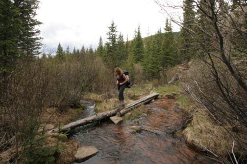
Near the west edge of the forest between the dunes and beach there’s a small footbridge over a boggy marsh.
Snowy Plover
Location: 43.597767, -124.220907
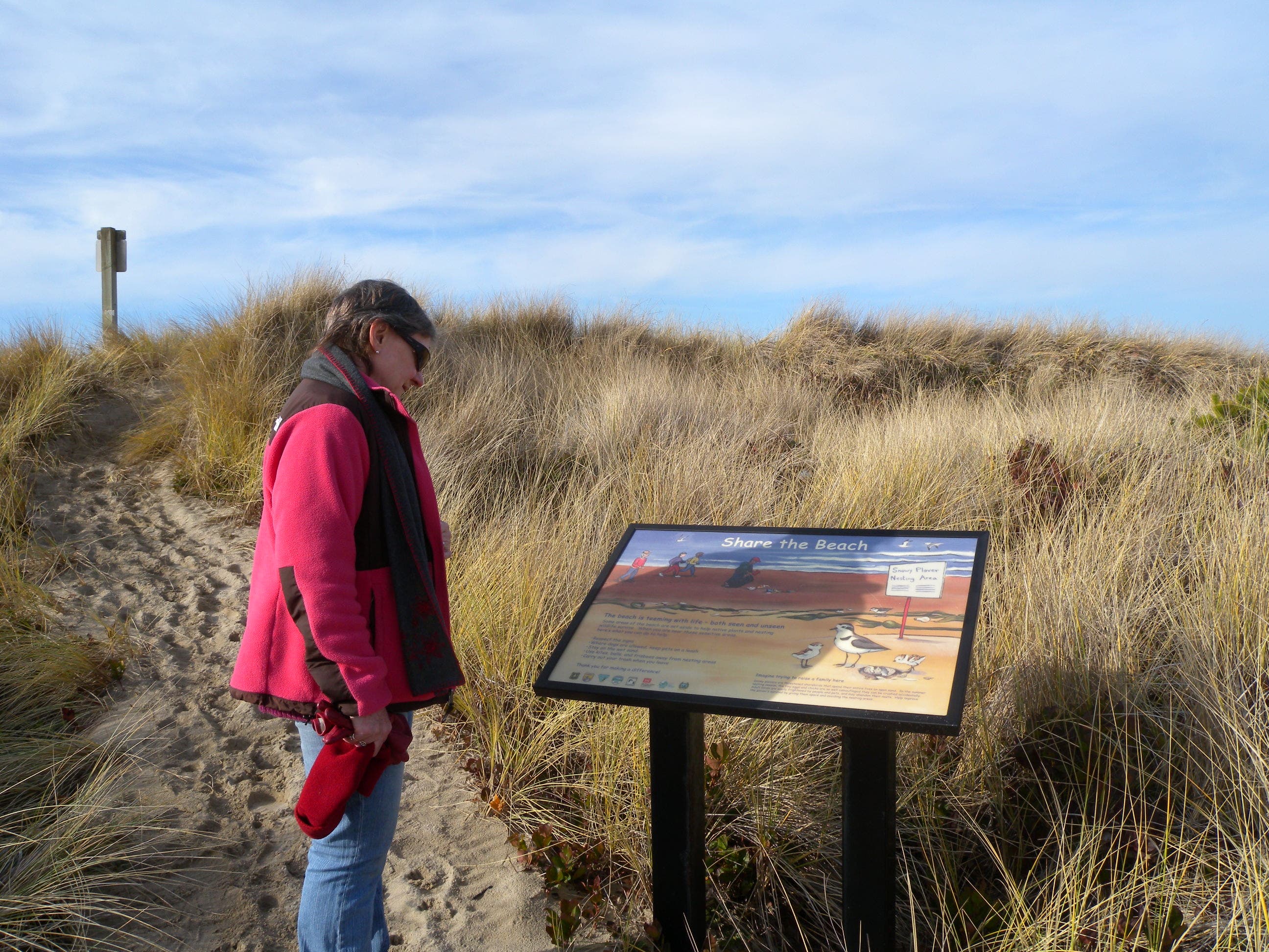
This sign explains the plight of the snowy plover. Stay on trail to avoid crushing their highly-camouflaged eggs.
Trail
Location: 43.597782, -124.221312
Beach
Location: 43.597821, -124.22186
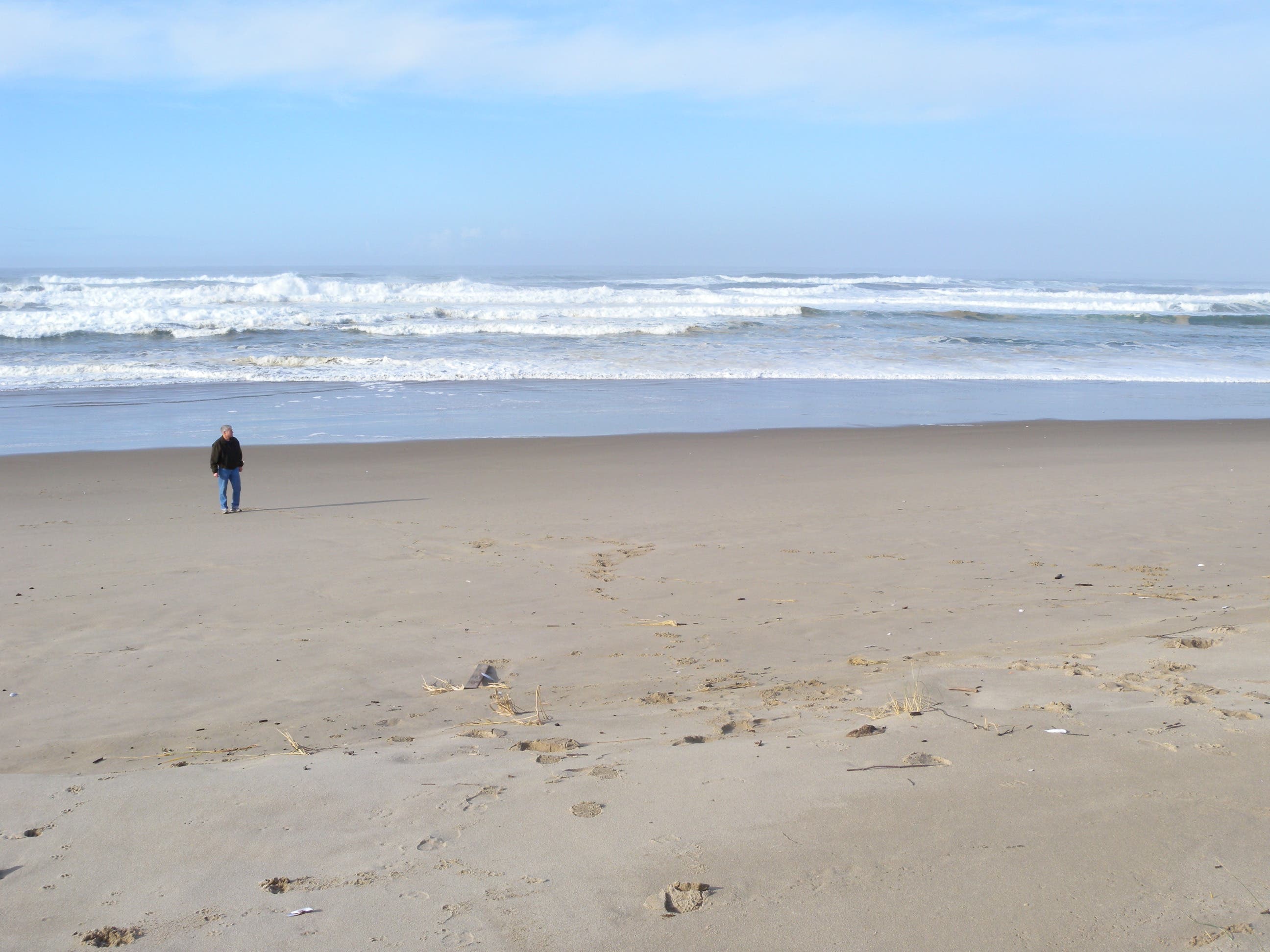
The Pacific is the turn around point for this hike. The beach stretches miles in both directions from the point where the trail intersects it.
Return Trail
Location: 43.58723, -124.18999
The entry to the south-side loop returning to the trailhead from the east edge of the dunes.
Soft Sand
Location: 43.588722, -124.202027
If it’s been dry, expect soft sand to add difficulty to this hike.
Stay on the Trail
Location: 43.584821, -124.187983
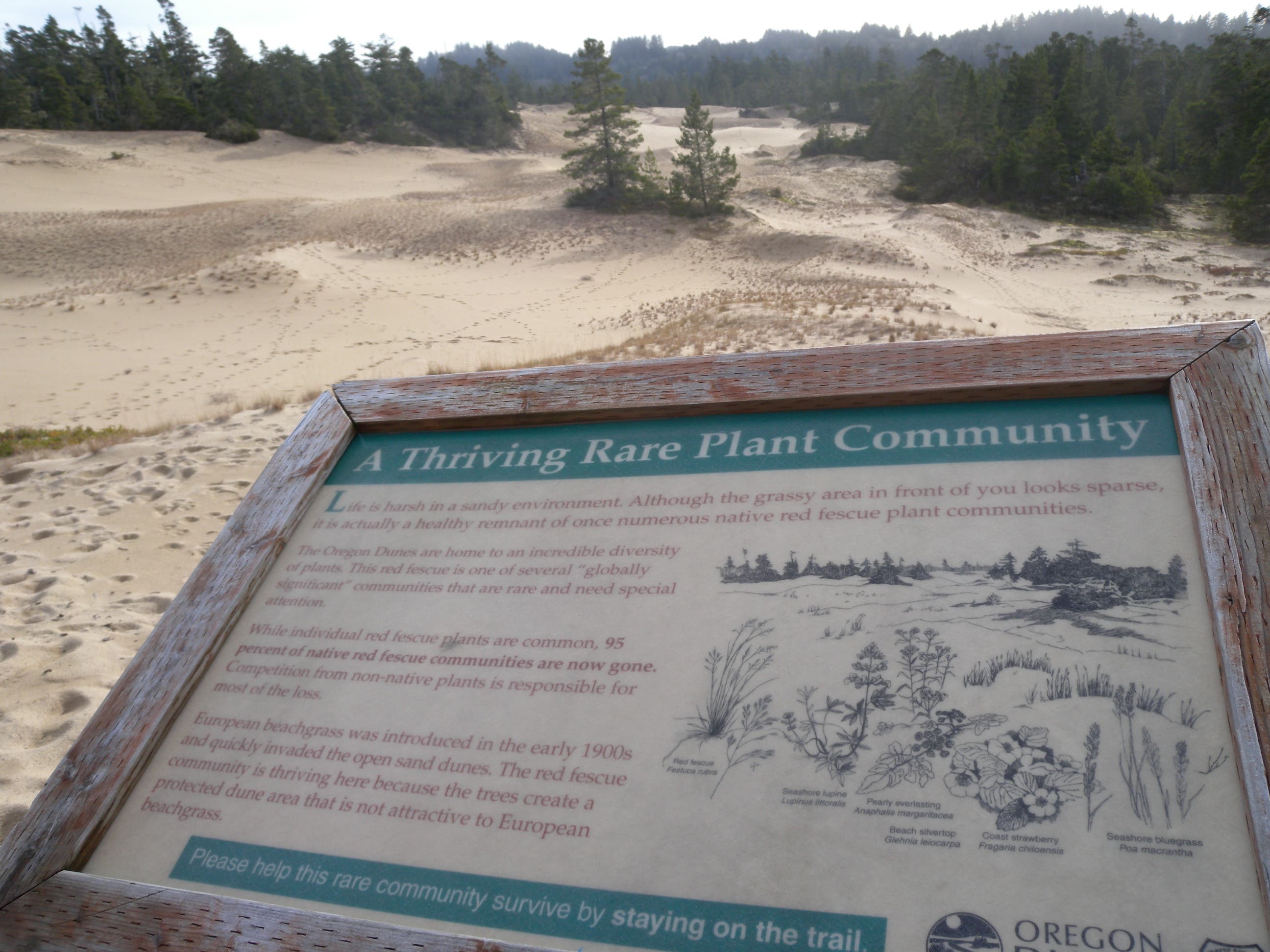
The larger dunes are less sensitive, but this protected sand is home to an endangered and delicate dune grass. Please stay on the trail to help protect it.
Grassy Expanse
Location: 43.584883, -124.187812
This sign details an endangered dunes grass found in this secluded and protected sandy expanse.
Trail
Location: 43.586422, -124.188992