Continental Divide Trail: Copper Mountain to Bakerville, CO

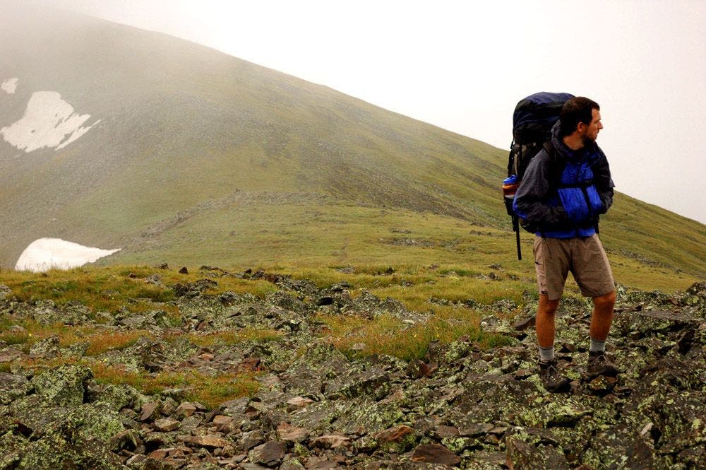
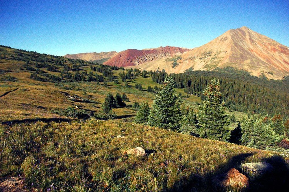
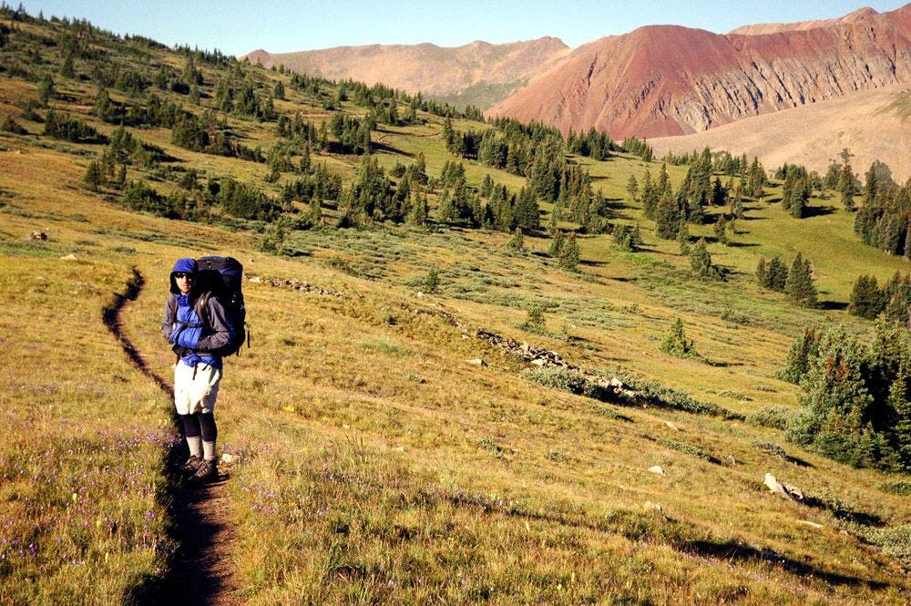
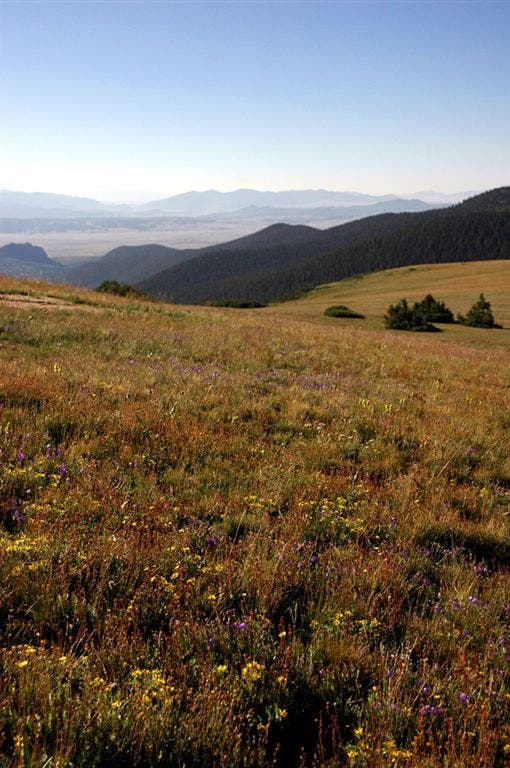
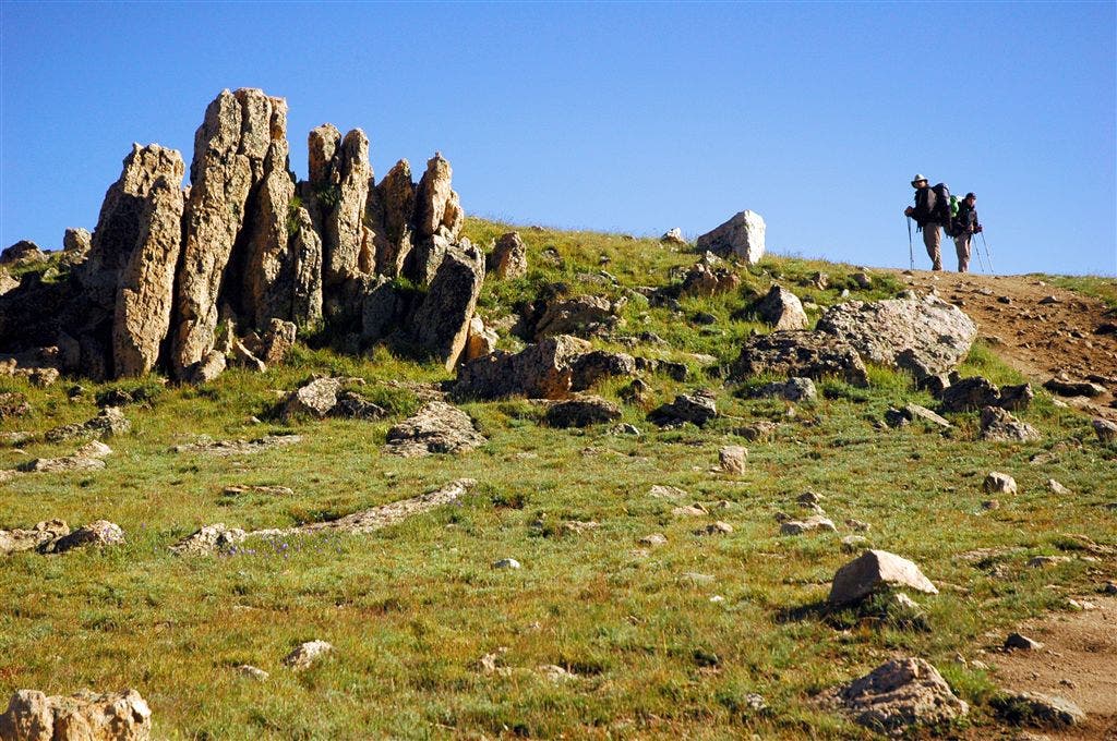
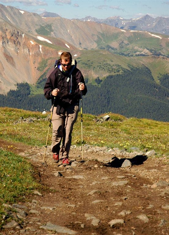
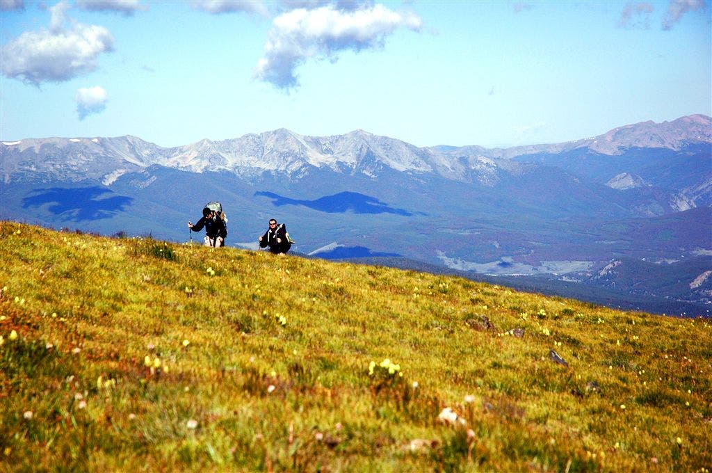
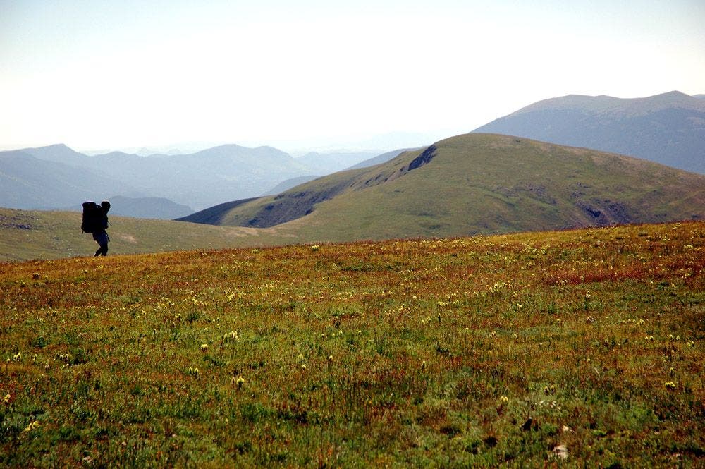
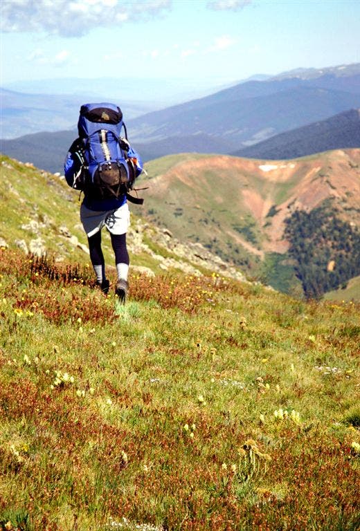
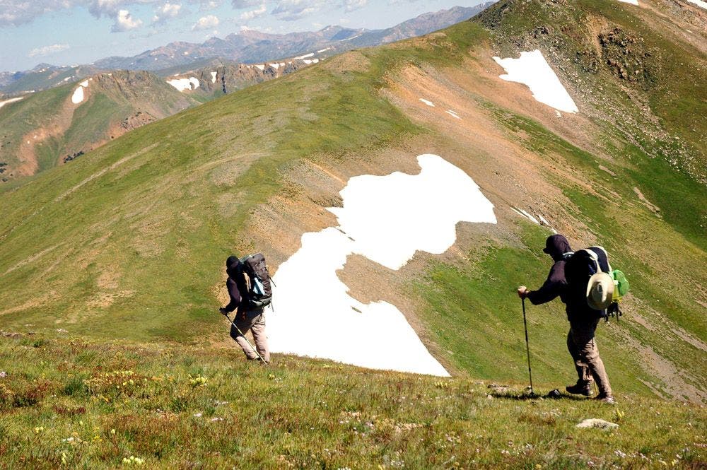
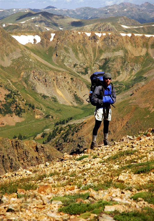
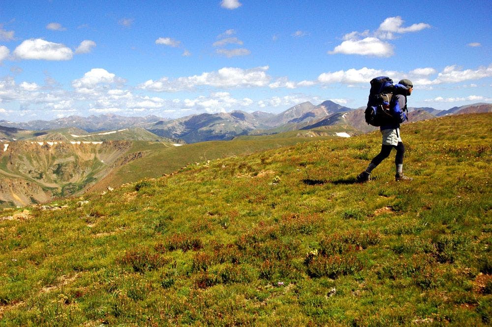
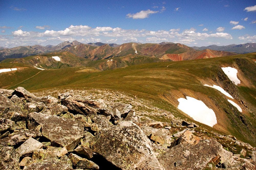
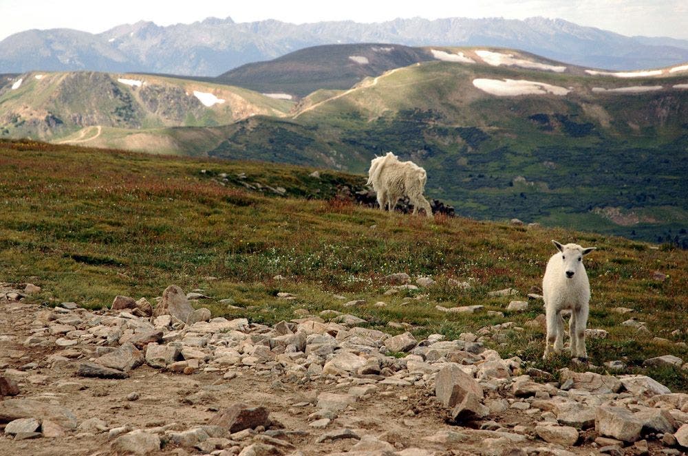
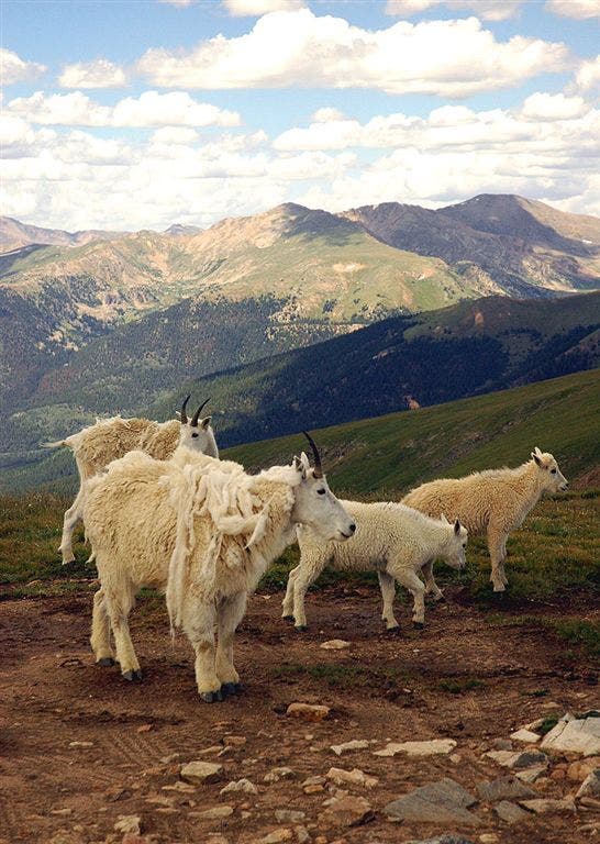
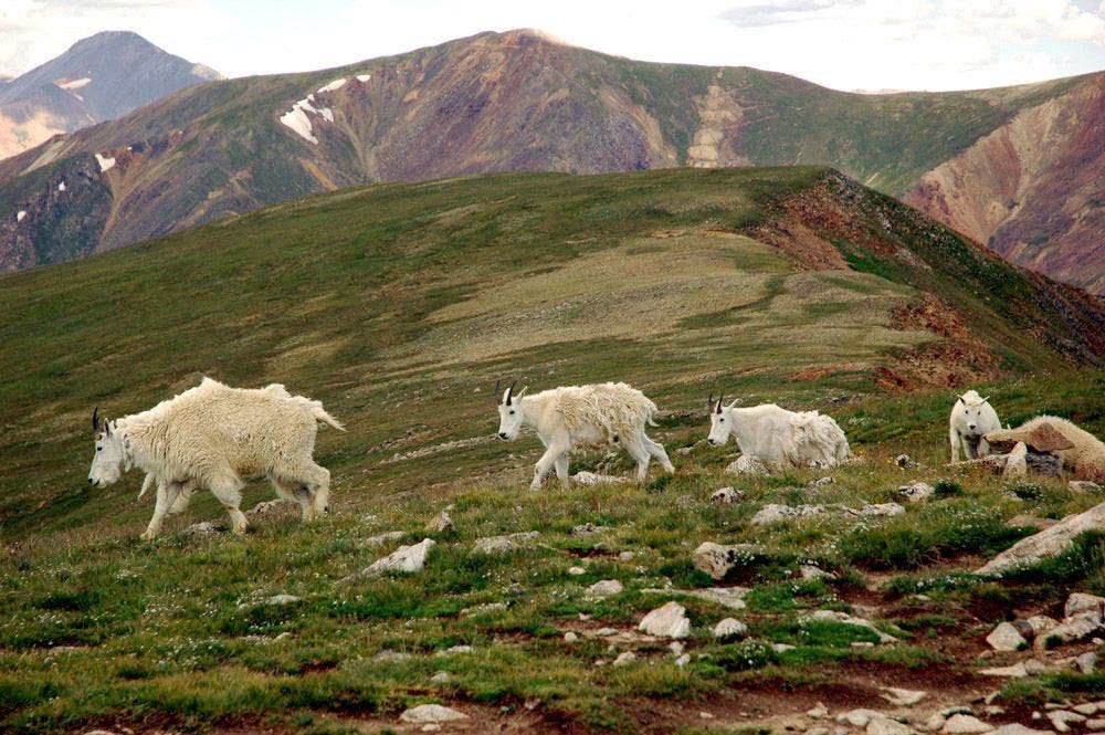
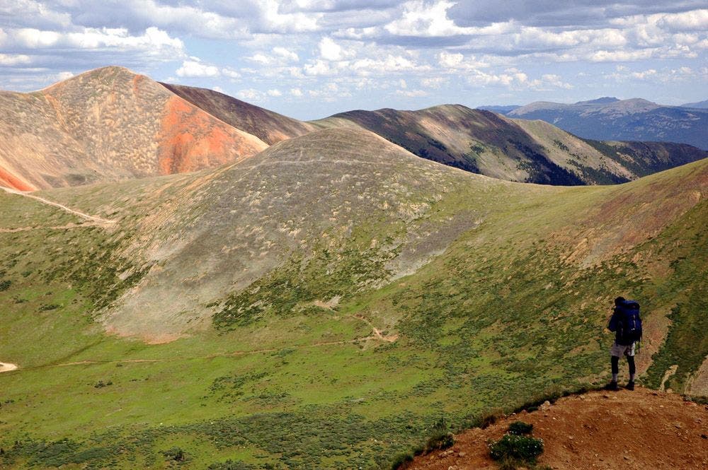
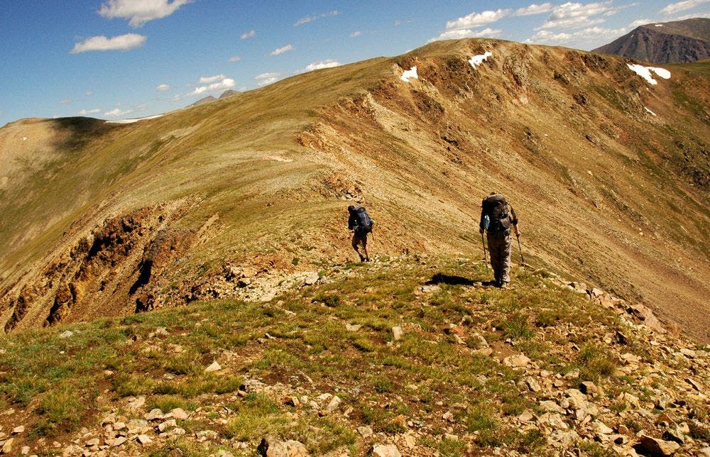
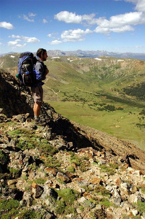
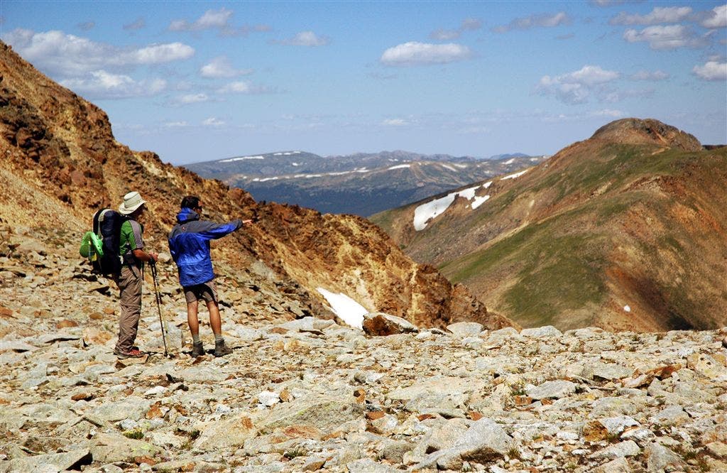
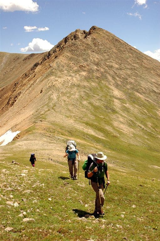
Tread the Rockies’ rooftop on this spectacular trek through the Front Range. It’s six days of alpine splendor: Mountain goats skip through wildflower fields, mining ruins abound, and steely summits rise in all directions. Charge your camera battery, pack a windshell, and soar up a route that rambles mostly between 10,000 and 13,000 feet.
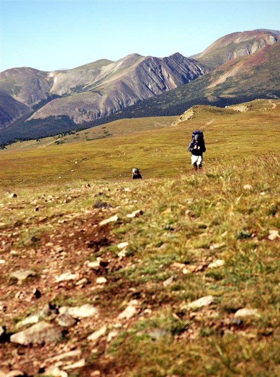
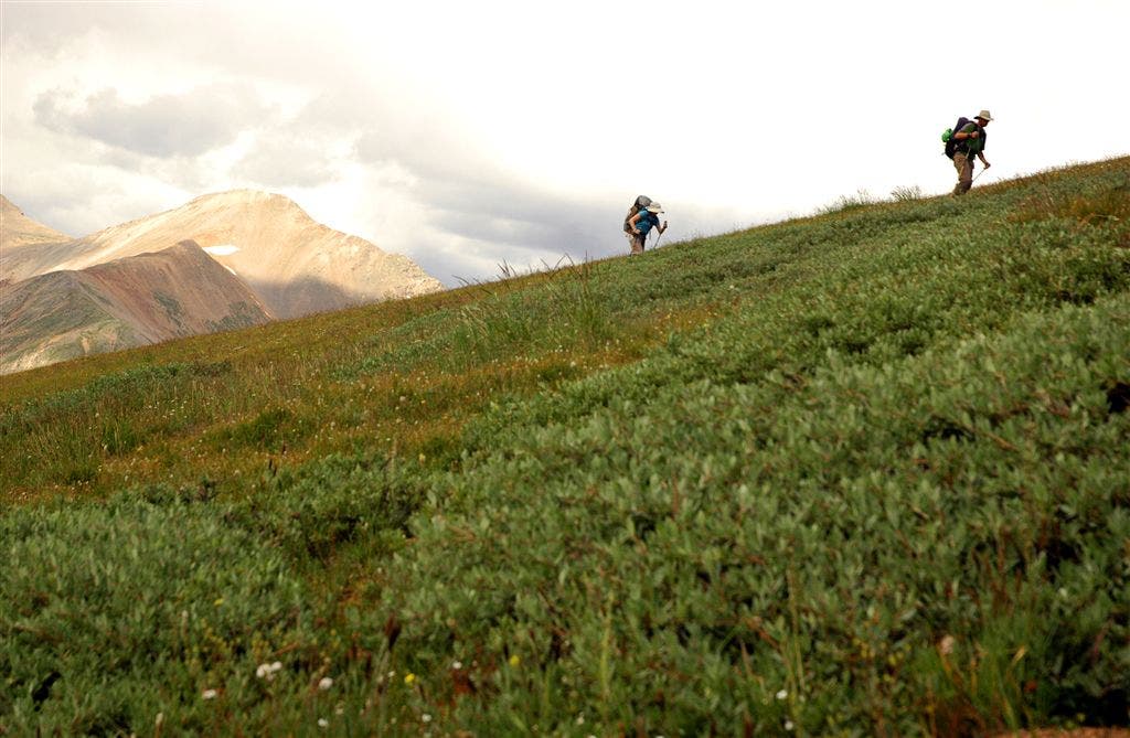
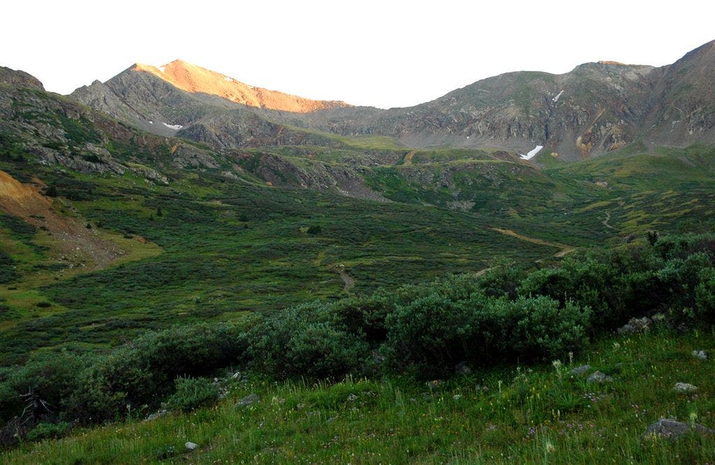
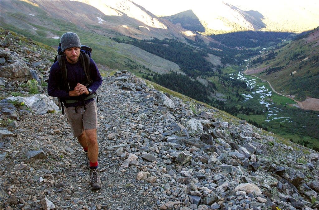
Day one starts with a three-mile climb through conifers, then crosses the exposed talus fields of the Tenmile Range. Camp below treeline near Miners Creek. On day two, you’ll wind across wooded slopes overlooking the Swan River and hunker down for the night among the pines above Horseshoe Gulch. Day three’s route stays just below treeline but peeks through openings back across the Tenmile Range. On day four, you enter the alpine zone where 13,370-foot Mt. Guyot looms above flower-filled tundra and marmots whistle at you.
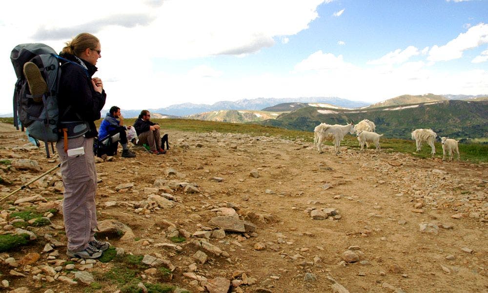
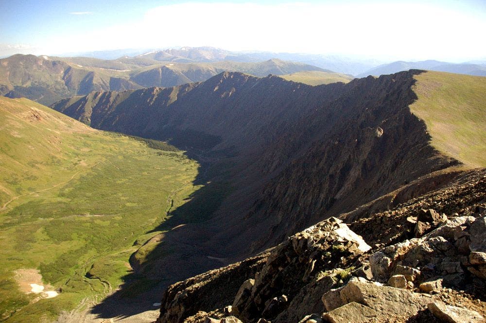
“We saw herds of mountain goats,” says team leader Katie Richards, “and one even came within seven feet of us.” After crossing the Continental Divide, scale 14,270-foot Grays Peak for views over two watersheds. Follow Stevens Gulch down to Bakerville to finish.
-Text by Kelly Bastone
-Mapped by Team 23: Katie Richards, Kim Phillips, Kevin Hollebeek, Matt Vellone, and Chic Chilcott

Trail Facts
- Distance: 107.8
Waypoints
CDT001
Location: 39.497269, -106.136383
From Copper Mtn.’s Corn Lot, head E on the Colorado Trail/Continental Divide Trail
CDT002
Location: 39.497326, -106.135696
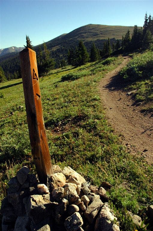
Cross wooden bridge over rushing Tenmile Creek, then walk across meadow toward CDT post
CDT003
Location: 39.495544, -106.133507
Cross two wooden footbridges; good water source
CDT004
Location: 39.493938, -106.131233
Walk across boardwalk over trickling creek
CDT005
Location: 39.482388, -106.125191
Good campsites down hill on R
CDT006
Location: 39.482666, -106.12487
Leave trail for brief descent to campsite tucked in trees on R
CDT007
Location: 39.477718, -106.117226
Stream crossing; lush, verdant hillsides covered with seasonal wildflowers (Indian paintbrush, etc.)
CDT008
Location: 39.47559, -106.115425
L @ 3-way (-|) with Wheeler Trail; small boulder-filled gully on R
CDT009
Location: 39.477196, -106.115349
Views of Copper Mtn.
CDT010
Location: 39.48196, -106.115891
Walk across meadow
CDT011
Location: 39.484692, -106.112457
Trail passes above treeline
CDT012
Location: 39.489246, -106.112885
Traverse boulder field
CDT013
Location: 39.497314, -106.113922
Navigate boulders strewn on saddle, then head N along ridgetop
CDT014
Location: 39.498791, -106.114029
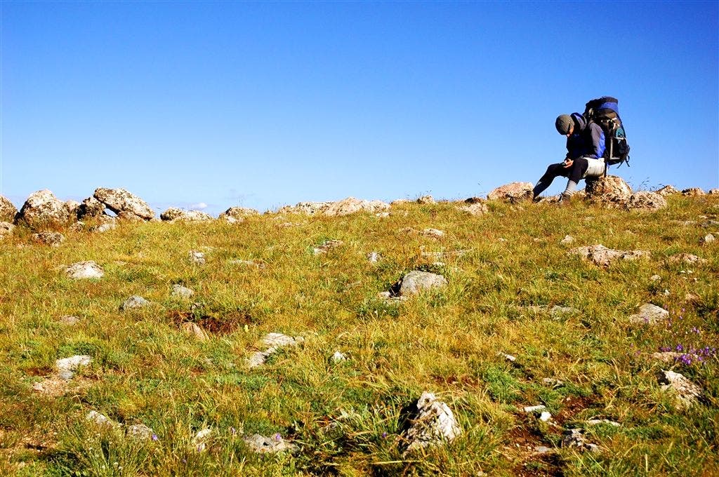
Take a snack break on boulders, then continue trek N
CDT015
Location: 39.504848, -106.113708
Follow switchbacks that drop below the Tenmile ridgetop
CDT016
Location: 39.514301, -106.109467
Traverse boulder field, heading N
CDT017
Location: 39.521877, -106.110756
Descend small saddle through several switchbacks. The rocky slopes of Peak 4 loom to the W
CDT018
Location: 39.523411, -106.111778
Trail passes below treeline into shady forest; continue NE
CDT019
Location: 39.526768, -106.109718
Stream crossing
CDT020
Location: 39.528278, -106.108261
Trees surrounding trail are a good place to escape stormy weather. Trail continues N
CDT021
Location: 39.533173, -106.098694
Navigate a slightly-tilted, slippery log boardwalk that leads across stream (watch your footing where logs are missing)
CDT022
Location: 39.533016, -106.097664
R @ 3-way
CDT023
Location: 39.530041, -106.089897
Cross stream on log
CDT024
Location: 39.53064, -106.088646
Cross stream on log
CDT025
Location: 39.533798, -106.082443
Walk across bridge
CDT026
Location: 39.533535, -106.080872
L @ T
CDT027
Location: 39.537537, -106.081696
R @ Y
CDT028
Location: 39.539558, -106.07608
Straight @ 4-way
CDT029
Location: 39.542507, -106.057991
Stay R @ 4-way, heading E
CDT030
Location: 39.541004, -106.042068
Trail meets CO 9. Note: Backpacker’s CDT map showed the trail heading N at this point. Instead, turn R onto paved walking/bike path, heading S towards Breckenridge
CDT031
Location: 39.537971, -106.042381
Carefully cross CO 9 @ Summit Stage bus stop to Tiger Run. Next, follow Revette Dr. as it curves around to the NE
CDT032
Location: 39.540539, -106.03614
Leave road and rejoin Colorado Trail on L, heading SE to small footbridge
CDT033
Location: 39.54031, -106.035522
L @ Y
CDT034
Location: 39.542416, -106.035172
Turn L @ T (first switchback). Climb four more switchbacks that cut across wooded slopes
CDT035
Location: 39.5429, -106.011154
Straight @ 3-way with side trail that enters on L
CDT036
Location: 39.542042, -106.006577
Straight @ 3-way (-|) as trail dips to the SE
CDT037
Location: 39.536182, -105.999367
Filter water from small stream. Next, turn L @ Y, heading N
CDT038
Location: 39.536488, -105.9991
R @ Y
CDT039
Location: 39.539837, -105.990334
Good campsite tucked between conifers on R side of trail
CDT040
Location: 39.539654, -105.985298
L @ T
CDT041
Location: 39.540749, -105.971352
Trail cuts across a grassy meadow
CDT042
Location: 39.541355, -105.971359
Views of Dillon
CDT043
Location: 39.542122, -105.971542
R @ 3-way
CDT044
Location: 39.542763, -105.969322
Views across meadow
CDT045
Location: 39.546391, -105.96814
Trail hugs the ridge
CDT046
Location: 39.550999, -105.958115
Straight @ 3-way
CDT047
Location: 39.545525, -105.950371
Look between gaps in trees on L for views of Keystone’s chair lifts
CDT048
Location: 39.541313, -105.945183
Straight @ 3-way
CDT049
Location: 39.521366, -105.937492
Cross bridge
CDT050
Location: 39.519188, -105.938278
Straight @ 4-way
CDT051
Location: 39.516518, -105.934731
Cross a dirt road
CDT052
Location: 39.516449, -105.933861
R @ Y
CDT053
Location: 39.515507, -105.935051
Walk past numerous campsites
CDT054
Location: 39.51421, -105.937065
Cross bridge
CDT055
Location: 39.497868, -105.925529
Turn R where trail meets dirt road
CDT056
Location: 39.497742, -105.925713
Turn L to rejoin CDT, leaving dirt road
CDT057
Location: 39.497471, -105.925766
Cross bridge over Middle Fork Swan River’s muddy waters
CDT058
Location: 39.49696, -105.925735
Cross clear stream on logs
CDT059
Location: 39.492283, -105.921196
Pass small lake on L
CDT060
Location: 39.488796, -105.922325
Straight @ 4-way
CDT061
Location: 39.483948, -105.920319
Straight @ 4-way
CDT062
Location: 39.483448, -105.915215
Good campsites between trees on R side of trail
CDT063
Location: 39.482372, -105.909882
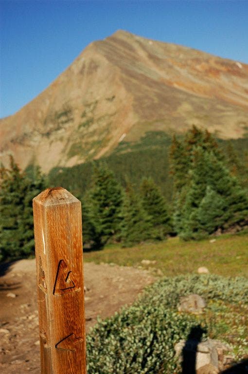
Walk across small meadow; striking views of Mt. Guyot’s bald, red-stained slopes appear on R
CDT064
Location: 39.464741, -105.90564
Views open up as you leave the forest
CDT065
Location: 39.461128, -105.910294
L @ 4-way
CDT066
Location: 39.46312, -105.905334
R @ Y
CDT067
Location: 39.463322, -105.904892
Straight @ 4-way
CDT068
Location: 39.479095, -105.89389
Summit an unnamed grassy highpoint. Ahead: Descend grassy terrain, then start steady NE ascent toward Glacier Peak (12,853 ft.)
CDT069
Location: 39.494324, -105.873375
Traverse wide, grassy ridge
CDT070
Location: 39.494495, -105.866371
Summit Whale Peak (13,078 ft.), then head N for descent to a small saddle
CDT071
Location: 39.49641, -105.866699
Faint trail leads across saddle
CDT072
Location: 39.501457, -105.864235
Rocky point rises above grassy slopes; look for herds of grazing mountain goats
CDT073
Location: 39.501961, -105.863976
End of faint trail
CDT074
Location: 39.503902, -105.862007
Cairn
CDT075
Location: 39.505592, -105.860268
Fire ring and/or cairn
CDT076
Location: 39.505981, -105.859528
L @ 4WD road
CDT077
Location: 39.513443, -105.862442
Straight @ 3-way
CDT078
Location: 39.52087, -105.868912
Straight @ 3-way
CDT079
Location: 39.526699, -105.865341
Straight @ 3-way. NOTE: For a more direct route, you can also turn R @ 3-way and follow steep 4WD road to the top of Teller Mountain
CDT080
Location: 39.527615, -105.865562
Straight @ 3-way
CDT081
Location: 39.529083, -105.866692
R @ 3-way
CDT082
Location: 39.532505, -105.8657
Pass mine on L
CDT083
Location: 39.535248, -105.864777
Turn R on Radical Hill, heading E
CDT084
Location: 39.534714, -105.861427
L @ old trail
CDT085
Location: 39.534992, -105.85817
L @ 4WD road
CDT086
Location: 39.536182, -105.856392
4WD road crests a summit of Teller Mtn., then begins steep descent down rocky switchbacks. ATV’s zip up and down this rugged road
CDT087
Location: 39.534465, -105.8534
Road passes an old cabin
CDT088
Location: 39.536751, -105.842438
Road continues descent, heading below treeline
CDT089
Location: 39.537483, -105.841705
R @ Y
CDT090
Location: 39.537579, -105.841194
R @ T
CDT091
Location: 39.537251, -105.840225
Potential campsites in narrow Snake River valley. A good place to stop before long stretch above treeline. Next, follow 4WD road up to Webster Pass. Note: The mapped section to Webster Pass on 4WD road differs from route suggested on Backpacker’s CDT map, which was not apparent from the trail
CDT092
Location: 39.532814, -105.839592
Switchback veers L, heading E to Webster Pass
CDT093
Location: 39.531254, -105.832611
Webster Pass
CDT094
Location: 39.531387, -105.832489
Turn L onto climber’s trail
CDT095
Location: 39.532513, -105.831856
Walk across loose rock
CDT096
Location: 39.533085, -105.831001
Trail crosses talus
CDT097
Location: 39.531334, -105.826477
Turn L @ road; cairn
CDT098
Location: 39.531013, -105.825523
Turn L onto trail
CDT099
Location: 39.533489, -105.822273
Cairn
CDT100
Location: 39.53307, -105.821541
Cairn
CDT101
Location: 39.533264, -105.821213
L @ ridge
CDT102
Location: 39.533215, -105.821068
Pass trail post
CDT103
Location: 39.536453, -105.820534
Cairn
CDT104
Location: 39.536682, -105.820358
Cairn
CDT105
Location: 39.538136, -105.819107
Cairn
CDT106
Location: 39.538326, -105.818848
Cairn
CDT107
Location: 39.538506, -105.817818
L @ ridge
CDT108
Location: 39.53833, -105.81781
Unnamed peak
CDT109
Location: 39.539703, -105.818382
Cairn
CDT110
Location: 39.540913, -105.818542
Cairn
CDT111
Location: 39.543186, -105.819084
Cairn marks faint trail
CDT112
Location: 39.543682, -105.819122
Walk across narrow saddle on Continental Divide
CDT113
Location: 39.544296, -105.819069
Cairn
CDT114
Location: 39.547867, -105.817566
Bear R, traversing Landslide Peak’s SW slopes
CDT115
Location: 39.549854, -105.817085
Pass a cairn. Continue traversing grassy slopes, heading NW below Landslide Peak (13,238 ft.)
CDT116
Location: 39.552567, -105.819939
Dramatic views extend to the N from saddle. Look down scree-laden slopes to find Josephine Lake
CDT117
Location: 39.552845, -105.821716
Mine
CDT118
Location: 39.554272, -105.823952
Summit the rocky crown of Geneva Peak (13,266 ft.), then begin rocky descent of windy, talus-covered slopes. Watch footing on this section
CDT119
Location: 39.554771, -105.824646
Cairn
CDT120
Location: 39.554974, -105.825203
Cairn
CDT121
Location: 39.555271, -105.825531
Cairn
CDT122
Location: 39.555439, -105.825676
Cairn
CDT123
Location: 39.556419, -105.825966
Cairn
CDT124
Location: 39.55685, -105.826248
Cairn
CDT125
Location: 39.557129, -105.826492
Cairn
CDT126
Location: 39.557438, -105.826485
Cairn
CDT127
Location: 39.557899, -105.826668
Cairn
CDT128
Location: 39.558125, -105.827034
Cairn
CDT129
Location: 39.558617, -105.827026
Walk NW across saddle, passing a cairn
CDT130
Location: 39.56002, -105.828247
Cairn
CDT131
Location: 39.560478, -105.828903
Cairn
CDT132
Location: 39.560661, -105.828934
Cairn
CDT133
Location: 39.560963, -105.829529
Cairn
CDT134
Location: 39.561314, -105.829178
Cairn
CDT135
Location: 39.562008, -105.82943
Cairn
CDT136
Location: 39.563042, -105.828743
Cairn
CDT137
Location: 39.563187, -105.828514
Trail summits Sullivan Peak (13,134 ft.), then travels NW along ridge
CDT138
Location: 39.564266, -105.829033
Cairn
CDT139
Location: 39.565464, -105.829788
Cairn
CDT140
Location: 39.566051, -105.830132
Pass a cairn marked with the word “SWCORZAP1”
CDT141
Location: 39.567413, -105.833237
Mine
CDT142
Location: 39.567852, -105.83432
Pass a mine. Ahead, 4WD road curves around Santa Fe Peak (13,180 ft.)
CDT143
Location: 39.570129, -105.837814
Begin descent on 4WD road
CDT144
Location: 39.57777, -105.838562
Stream crosses dirt road
CDT145
Location: 39.577812, -105.839378
Keep straight @ 3-way; views N into Warden Gulch. Ahead, the CDT travels NNW along Collier Mtn., circles around Morgan Peak, then descends into Warden Gulch
CDT146
Location: 39.580986, -105.842712
R @ Y; leave jeep road for narrow trail cut through grass
CDT147
Location: 39.587864, -105.849907
Leave ridge; trail swings to the NE, traversing grassing slopes
CDT148
Location: 39.586182, -105.841988
Mine on L
CDT149
Location: 39.583916, -105.840988
Mine
CDT150
Location: 39.586407, -105.835625
Cross stream
CDT151
Location: 39.586494, -105.835114
Cross stream
CDT152
Location: 39.591591, -105.835106
Cross wide stream
CDT153
Location: 39.593151, -105.835121
Pass campsite on L
CDT154
Location: 39.596104, -105.832687
Trail swings to the L, heading NW. A stream flows down on R side of trail
CDT155
Location: 39.598434, -105.834991
Campsite on R
CDT156
Location: 39.598614, -105.835907
Campsite on R
CDT157
Location: 39.598724, -105.836166
Straight @ 3-way
CDT158
Location: 39.599262, -105.83886
Powerlines on R
CDT159
Location: 39.599365, -105.839684
Straight @ 3-way
CDT160
Location: 39.599655, -105.840263
Turn R, heading N
CDT161
Location: 39.600109, -105.839981
Ford wide stream
CDT162
Location: 39.600449, -105.840172
Turn R onto dirt road, heading E
CDT163
Location: 39.602726, -105.812996
L @ Y
CDT164
Location: 39.609116, -105.798866
Set up camp @ Shoe Basin Mine parking area. Peru Creek’s milky waters rush down on the R. A good place to stop before last leg of trip
CDT165
Location: 39.613579, -105.796349
Turn R and leave 4WD road @ Argentine Pass trailhead, heading E toward Peru Creek. Note: Prepare for strenuous stretch ahead from Argentine Pass to Grays Peak. You’ll encounter a series of steep climbs and descents, a rocky, knife-edge ridge, and exposed 14,000-ft. terrain.
CDT166
Location: 39.613518, -105.796127
Ford Peru Creek (may be knee-deep or higher), then turn R. Trail winds to the S, then curves SE
CDT167
Location: 39.612228, -105.793991
Cross stream
CDT168
Location: 39.611301, -105.793121
Small stream
CDT169
Location: 39.606678, -105.789619
Trail becomes rocky
CDT170
Location: 39.606689, -105.789322
Powerline on R side of trail
CDT171
Location: 39.610512, -105.788513
Trail cuts across boulder field
CDT172
Location: 39.617752, -105.786133
Short scramble up rocky face
CDT173
Location: 39.624027, -105.783165
Post
CDT174
Location: 39.62429, -105.783081
Possible shelter
CDT175
Location: 39.625584, -105.782303
Top of Argentine Pass; head N
CDT176
Location: 39.626144, -105.78228
Posts
CDT177
Location: 39.626675, -105.78231
Cairn
CDT178
Location: 39.627136, -105.782417
Cairn
CDT179
Location: 39.62719, -105.782661
Cairn
CDT180
Location: 39.628532, -105.782806
Cairn
CDT181
Location: 39.630283, -105.78363
Cairn
CDT182
Location: 39.631184, -105.784554
Cairn
CDT183
Location: 39.631748, -105.786079
Wind shelter
CDT184
Location: 39.633846, -105.789948
Cairn
CDT185
Location: 39.634682, -105.790779
Cairn
CDT186
Location: 39.634579, -105.791443
Cairn
CDT187
Location: 39.635506, -105.792686
Cairn
CDT188
Location: 39.63644, -105.794128
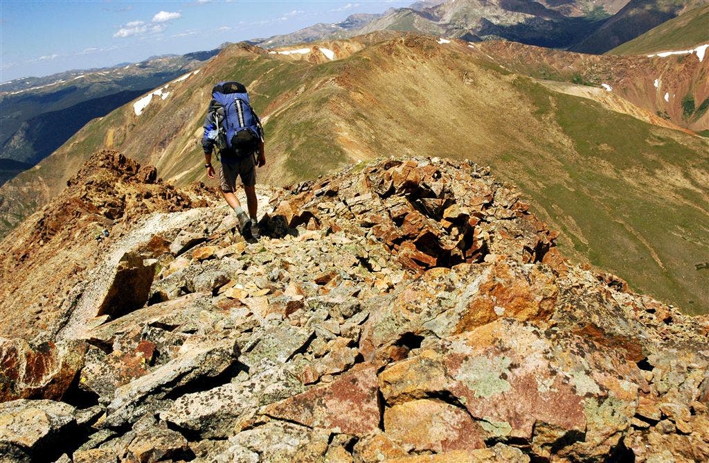
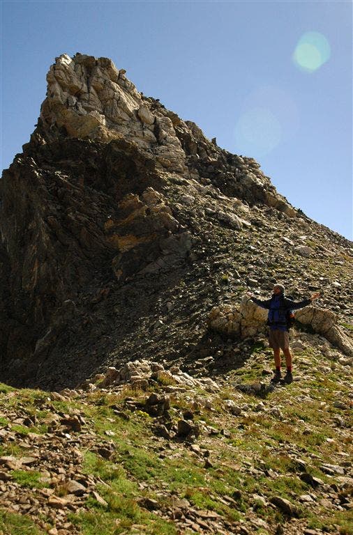
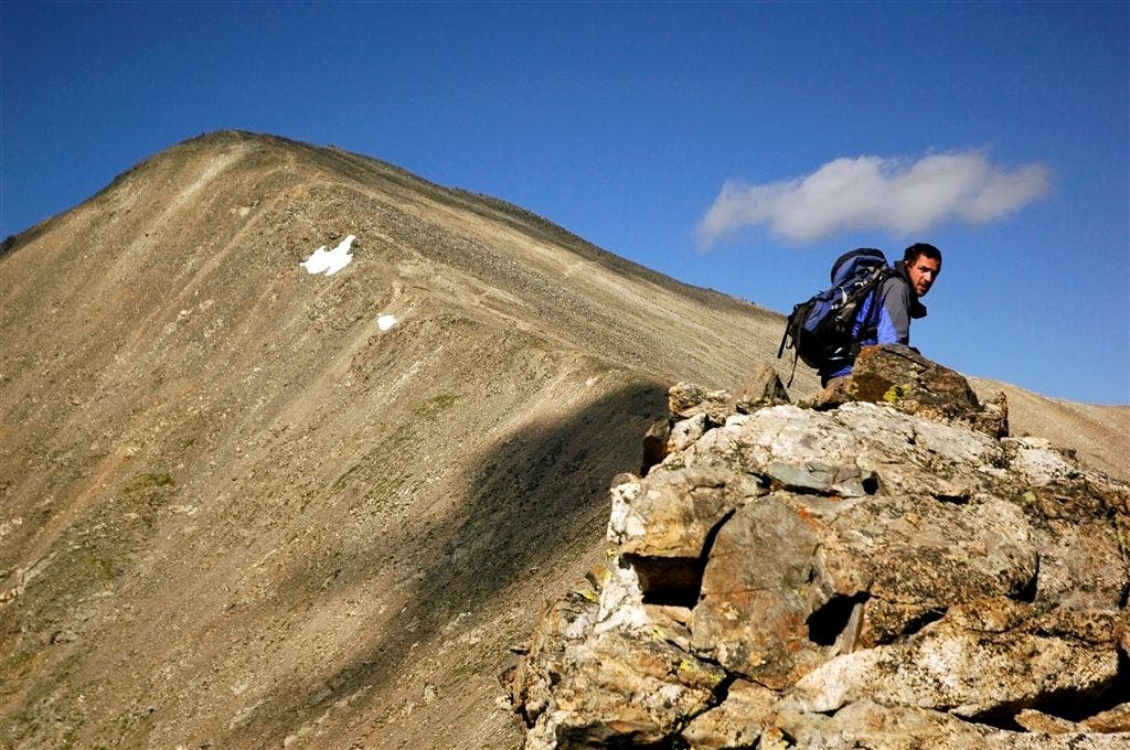
Walk across Mt. Edwards summit (13,850 ft.), then head W along knife-edge ridge toward Grays Peak. Caution: Knife-edge may be tricky to navigate with heavy packs. Loose rock, windy weather, and route-finding make this a challenging stretch
CDT189
Location: 39.636478, -105.797974
Saddle
CDT190
Location: 39.6357, -105.800629
Descend knife-edge ridge
CDT191
Location: 39.635551, -105.801125
Saddle
CDT192
Location: 39.635582, -105.802811
Crest rocky pinnacle
CDT193
Location: 39.635216, -105.805023
Crest another rocky pinnacle
CDT194
Location: 39.634975, -105.807495
Pass small overhang
CDT195
Location: 39.635197, -105.80806
Saddle
CDT196
Location: 39.635384, -105.809464
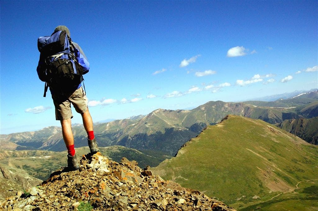
Steep scree slope drops off on R. Listen for the sounds of falling rocks as mountain goats traverse back and forth
CDT197
Location: 39.635227, -105.811943
Keep straight; steep climb continues
CDT198
Location: 39.634853, -105.813293
Straight @ 3-way
CDT199
Location: 39.634293, -105.814636
Trail reaches 14,000 ft.
CDT200
Location: 39.634277, -105.814682
Turn R
CDT201
Location: 39.633465, -105.816795
S end of Grays Peak
CDT202
Location: 39.633831, -105.817566
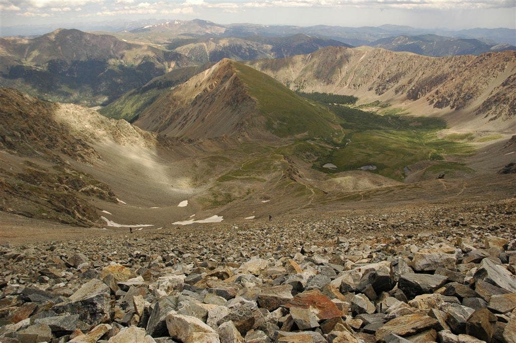
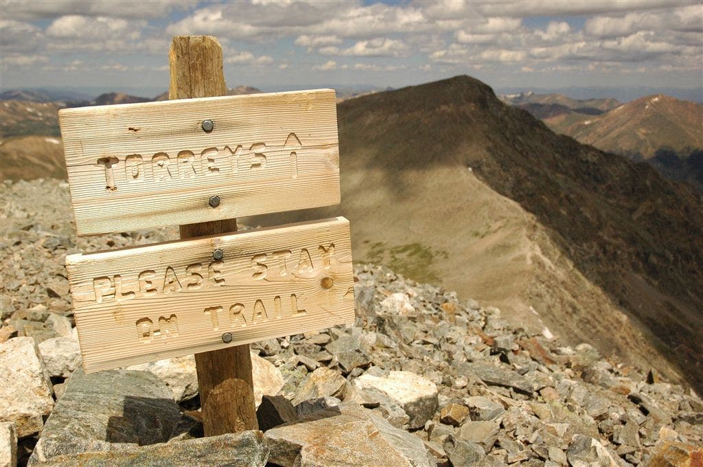
Grays Peak (14,270 ft.): This popular, often crowded, summit offers incredible views of Summit County and its neighboring 14er Torreys Peak. Next, begin switchback descent that drops into Stevens Gulch to the NE
CDT203
Location: 39.636177, -105.811859
L @ jct.
CDT204
Location: 39.637917, -105.813217
R @ T
CDT205
Location: 39.640301, -105.812019
Wind break on L
CDT206
Location: 39.647144, -105.801628
Cross stream
CDT207
Location: 39.660519, -105.78492
Cross bridge
CDT208
Location: 39.660854, -105.784492
Grays Peak trailhead and parking area. Follow the 4WD road to its jct. with I-70
CDT209
Location: 39.680061, -105.805504
Straight @ 3-way
CDT210
Location: 39.688049, -105.804382
L @ Y
CDT211
Location: 39.691078, -105.803459
R @ Y
CDT212
Location: 39.691391, -105.804871
Road meets I-70
The Tenmile Ridgetop
Location: 39.499199, -106.114197
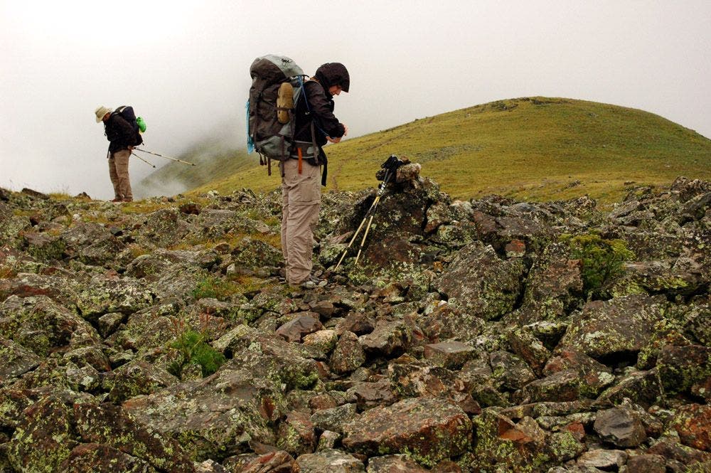
Mist and clouds settle over the Tenmile Range.
Tenmile Range
Location: 39.500084, -106.114243
Katie and Kevin strap on their packs after a short break on the Tenmile ridge.
Campsite #2
Location: 39.539978, -105.989731
Campsite above Horseshoe Gulch.
CDT Team 23
Location: 39.542122, -105.971451
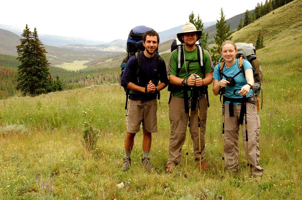
Matt, Kevin and Katie in Arapaho National Forest.
Campsite #3
Location: 39.483408, -105.914919
Campsite #3
Location: 39.483624, -105.914962
Retrieving the bear bag line.
Campsite #3
Location: 39.483823, -105.915027
Katie tries to fix the satellite phone.
Mt. Guyot
Location: 39.464692, -105.905156
Passing above treeline with views of Mt. Guyot.
Nearing the Divide
Location: 39.463253, -105.906387
The trail cuts across an alpine meadow before gaining the Continental Divide.
CDT Post
Location: 39.461594, -105.909083
Looking back on alpine meadow.
CDT Sign Post
Location: 39.461147, -105.910006
Mt. Guyot rises in the background.
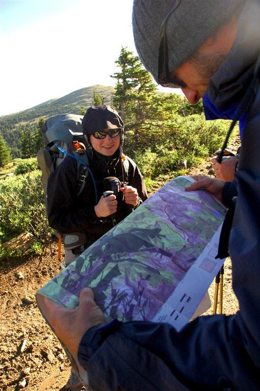
Route Finding
Location: 39.461948, -105.90741
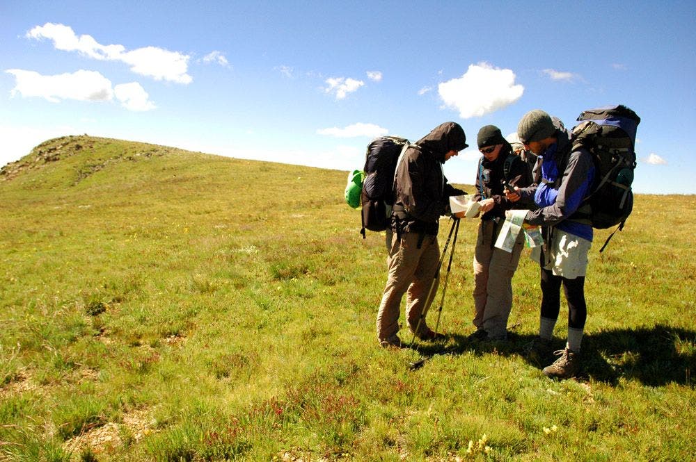
Katie and Matt discuss the day’s route.
South Park Views
Location: 39.467533, -105.901543
Vibrant wildflowers speckle alpine meadows along the trail.
Rocky Outcroppings on the Divide
Location: 39.469115, -105.90153
Marking Waypoints
Location: 39.470409, -105.900902
Grassy Ridge
Location: 39.47842, -105.894386
CDT crests an unnamed grassy summit.
Kevin
Location: 39.485031, -105.885902
Kevin on the trail near Glacier Peak.
Bird’s Eye View of Summit County
Location: 39.485126, -105.884598
Grassy Traverse
Location: 39.484196, -105.881248
Route Finding near Glacier Peak
Location: 39.484287, -105.879387
Katie, Kevin, and Matt double check the route from a grassy ridge east of Glacier Peak.
Grassy Descent
Location: 39.48494, -105.878273
Matt begins his descent to a saddle southwest of Whale Peak.
Descent to Saddle
Location: 39.486057, -105.879013
Katie and Kevin descend grassy slopes that overlook several snowfields.
Rugged Backdrops
Location: 39.489967, -105.878181
On the Divide
Location: 39.490898, -105.877434
Sea of Peaks
Location: 39.501491, -105.8637
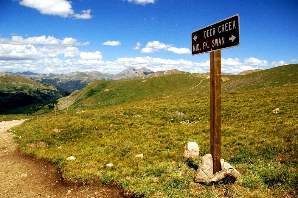
High-Country Road Sign
Location: 39.52086, -105.868464
Curious Mountain Goats
Location: 39.53564, -105.857348
Fearless mountain goats size up Katie, Kevin, and Matt on Teller Mountain.
Baby Mountain Goat
Location: 39.535822, -105.857069
More Mountain Goats on Teller Mountain
Location: 39.535987, -105.856769
Mountain Goat Herd
Location: 39.536186, -105.856061
Goats on Teller Mountain.
Views of Webster Pass
Location: 39.535822, -105.854774
Southeast views across the Snake River Valley.
Campsite #4
Location: 39.537518, -105.840744
Looking up at Teller Mountain from campsite in the Snake River Valley.
Campsite #4
Location: 39.537796, -105.840324
Campsite in the Snake River Valley.
Continental Divide
Location: 39.543713, -105.819
Broad ridge south of Landslide Peak.
Snake River Valley
Location: 39.544741, -105.819197
Matt looks out onto the Snake River Valley.
Panoramas from a rocky saddle
Location: 39.552193, -105.819191
Rocky Saddle
Location: 39.552658, -105.820869
Geneva Peak Ridge
Location: 39.554058, -105.823479
Geneva Peak
Location: 39.559792, -105.827942
Collier Mountain
Location: 39.588917, -105.847244
Horseshoe Basin
Location: 39.612896, -105.795636
The Climb to Argentine Pass
Location: 39.622936, -105.78405
Views from Mt. Edwards
Location: 39.636431, -105.793662
McClellan Mountain rises up from Stevens Gulch.
Rocky Ridge
Location: 39.635307, -105.80379
Views of Kelso Ridge
Location: 39.635126, -105.805829
Grays Peak
Location: 39.635147, -105.806793
Vistas from Grays Peak
Location: 39.63356, -105.816994
Grays Peak Views
Location: 39.633701, -105.817223
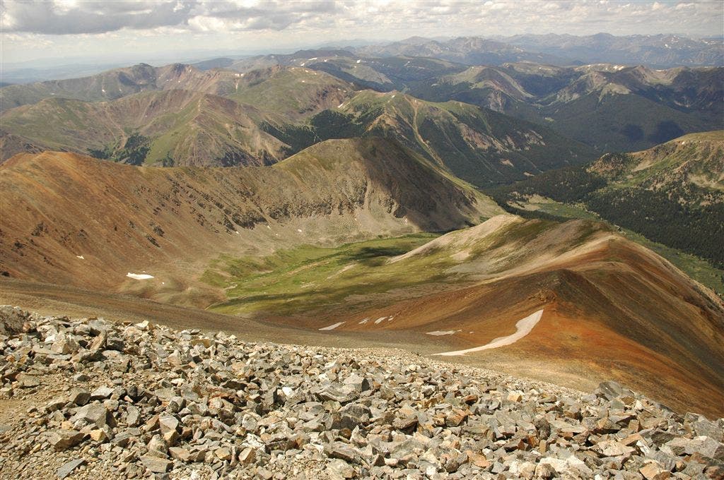
Looking NE into Stevens Gulch.
Grays Peak Summit
Location: 39.633793, -105.817596