Columbus: Ridge-Creekside Loop


Trail Facts
- Distance: 8.0
Waypoints
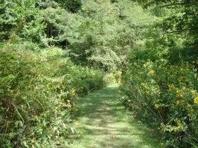
Grassy Trail
Location: 39.5898017883301, -82.5747756958008
©Gary Clark
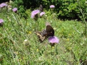
Butterfly in Meadow
Location: 39.5942306518555, -82.6041793823242
©Gary Clark
Deer Along the Trail
Location: 39.5977516174316, -82.5890426635742
©Gary Clark
CCL001
Location: 39.5892105102539, -82.5740127563476
Head E on the Creekside Meadows Trail, then turn N onto Cemetery Ridge Trail at its namesake trailhead
CCL002
Location: 39.5901718139648, -82.5736770629883
Cross road and begin steep 400-ft. climb
CCL003
Location: 39.5932083129883, -82.5754470825195
Crest ridge and head NW
CCL004
Location: 39.5952796936035, -82.5845336914062
Old barn
CCL005
Location: 39.5974502563477, -82.5897674560547
Continue to traverse W; deer tracks dot trail
CCL006
Location: 39.5979499816894, -82.6047592163086
Make a hard L @ 3-way, staying S on Cemetery Ridge Trail
CCL007
Location: 39.5961608886719, -82.6052169799805
Photo op: Stroll into a wildflower and milkweed meadow with fluttering monarchs
CCL008
Location: 39.5932197570801, -82.6052322387695
R @ T, then immediate L @ T; follow Fern Trail signs SW into a sunny meadow alongside a woods. Ahead, trail enters trees again and swings E
CCL009
Location: 39.5892105102539, -82.6043472290039
Begin 400-ft. descent on rugged trail with views into the valley
CCL010
Location: 39.5887794494629, -82.5974807739258
Stay straight, still following Fern T
CCL011
Location: 39.5884208679199, -82.5943832397461
Reach Fern Picnic Area; turn E onto Creekside Meadows Trail
CCL012
Location: 39.5902404785156, -82.5883026123047
Path parallels banks of Clear Creek; return to car