Colorado 14ers: Culebra Peak
Note: Culebra Peak is on private property and permission is required to climb this mountain. Contact the Colorado Mountain Club for current information. Phone: (303) 279-3080; www.cmc.org
-Mapped by Larry Carlton
Trail Facts
- Distance: 4.0
Waypoints
Views of the Blanca group & the Crestones
Location: 37.1301956176758, -105.20191192627
©Larry Carlton
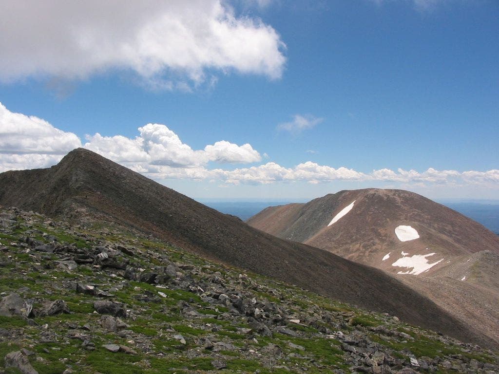
Culebra Peak and Red Mountain
Location: 37.1246719360352, -105.191177368164
©Larry Carlton
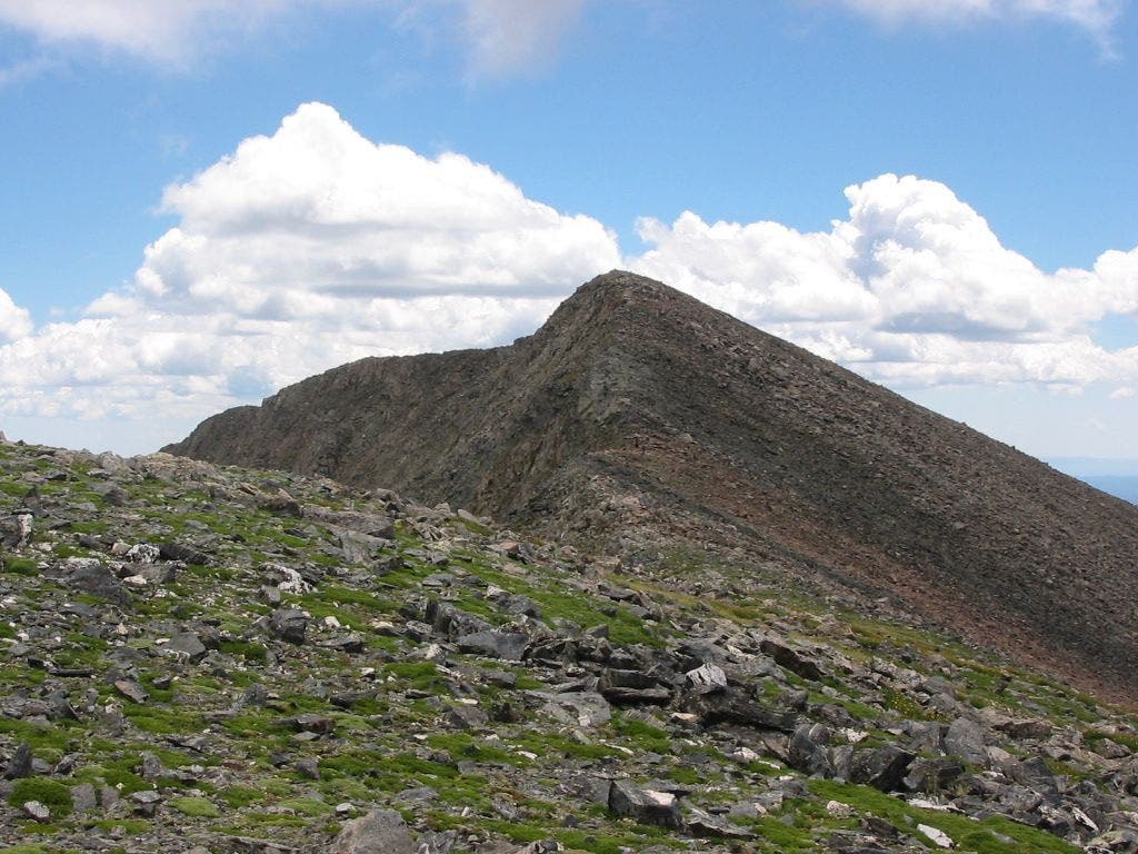
False summit
Location: 37.1252937316894, -105.192558288574
©Larry Carlton
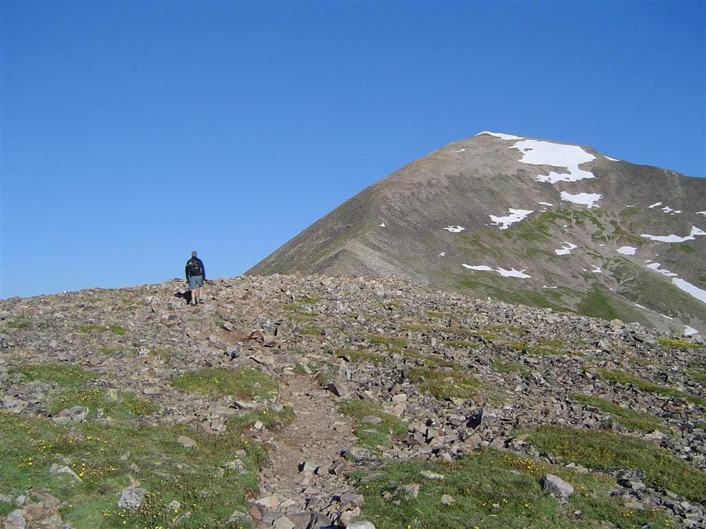
Gentle ridge
Location: 37.1358528137207, -105.208641052246
©Larry Carlton
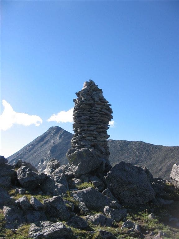
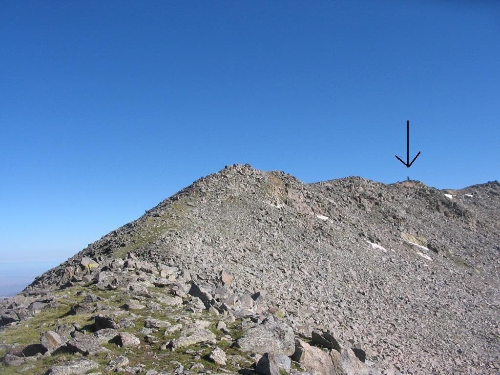
Large cairn and false summit
Location: 37.1296615600586, -105.201202392578
©Larry Carlton
Looking back at the large cairn
Location: 37.1266326904297, -105.200576782227
©Larry Carlton
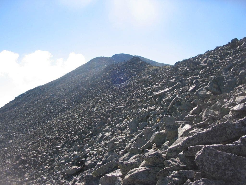
Rocky ridgeline
Location: 37.1252937316894, -105.198524475098
©Larry Carlton
View of Culebra’s summit
Location: 37.1243133544922, -105.190330505371
©Larry Carlton
CUL001
Location: 37.1389694213867, -105.215698242188
From the 4WD parking area, hike ESE along old 4WD road. In .3 mi., cross to the creek’s S side
CUL002
Location: 37.1367492675781, -105.20890045166
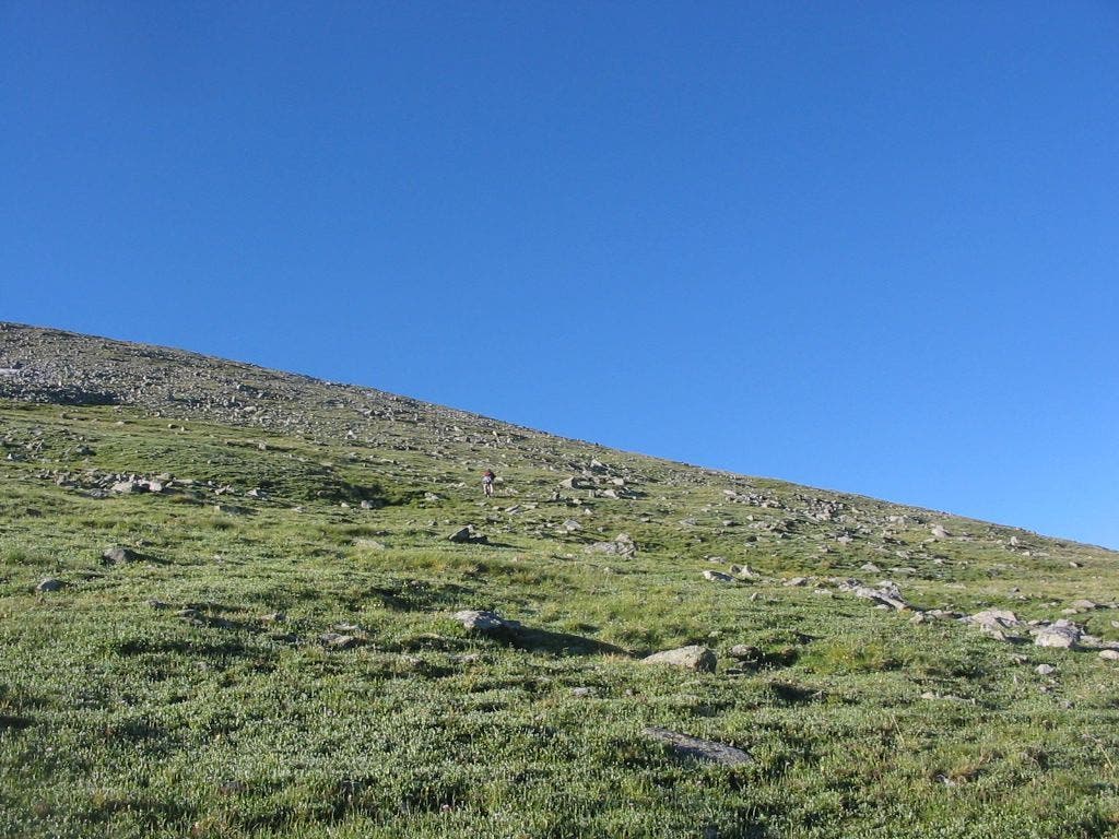
Continue S up a gentle sloping hill; breathtaking views to the W spread for miles
CUL003
Location: 37.1325988769531, -105.207901000977
Head ESE up a gentle, grassy ridge
CUL004
Location: 37.1310005187988, -105.203796386719
Keep an eye on the SE horizon for a monstrous cairn to pop into view; time flies by quickly as you climb to this point
CUL005
Location: 37.1296691894531, -105.201202392578
Take a breather at the towering, stacked rock column; distant views of the Blanca group and the Crestones to the N. Head S, then SE on climber’s trail that traverses the saddle
CUL006
Location: 37.1266593933106, -105.20059967041
Continue SE up the saddle toward Culebra’s NW ridge
CUL007
Location: 37.1253204345703, -105.198501586914
Scope out your route on the long, curved ridge that leads to the false summit; scattered cairns mark the way; views to the N and S get better with every step
CUL008
Location: 37.1254196166992, -105.195602416992
Continue ridge walk E towards the false summit
CUL009
Location: 37.1252098083496, -105.192497253418
The false summit rises directly in front of you; look for views of Red Mtn. to the SE. Continue SE to scale the false summit’s rocky spine
CUL010
Location: 37.1242790222168, -105.190399169922
Culebra’s false summit provides a prime vantage point for examining the remaining route; begin final summit push, heading SE
CUL011
Location: 37.1223602294922, -105.18579864502
Culebra Peak (14,047 ft.): Colorado’s southernmost, solitary Fourteener; look S for views into NM; W views drop down into the San Luis Valley. Optional: Add .9 mi. to your day by summiting Red Mtn., one of the state’s Centennial Peaks. From the top of Culebra Peak, head S down the ridge; some boulder hopping required on mostly stable rock