Colorado Trail: Stony Pass to Celebration Lake
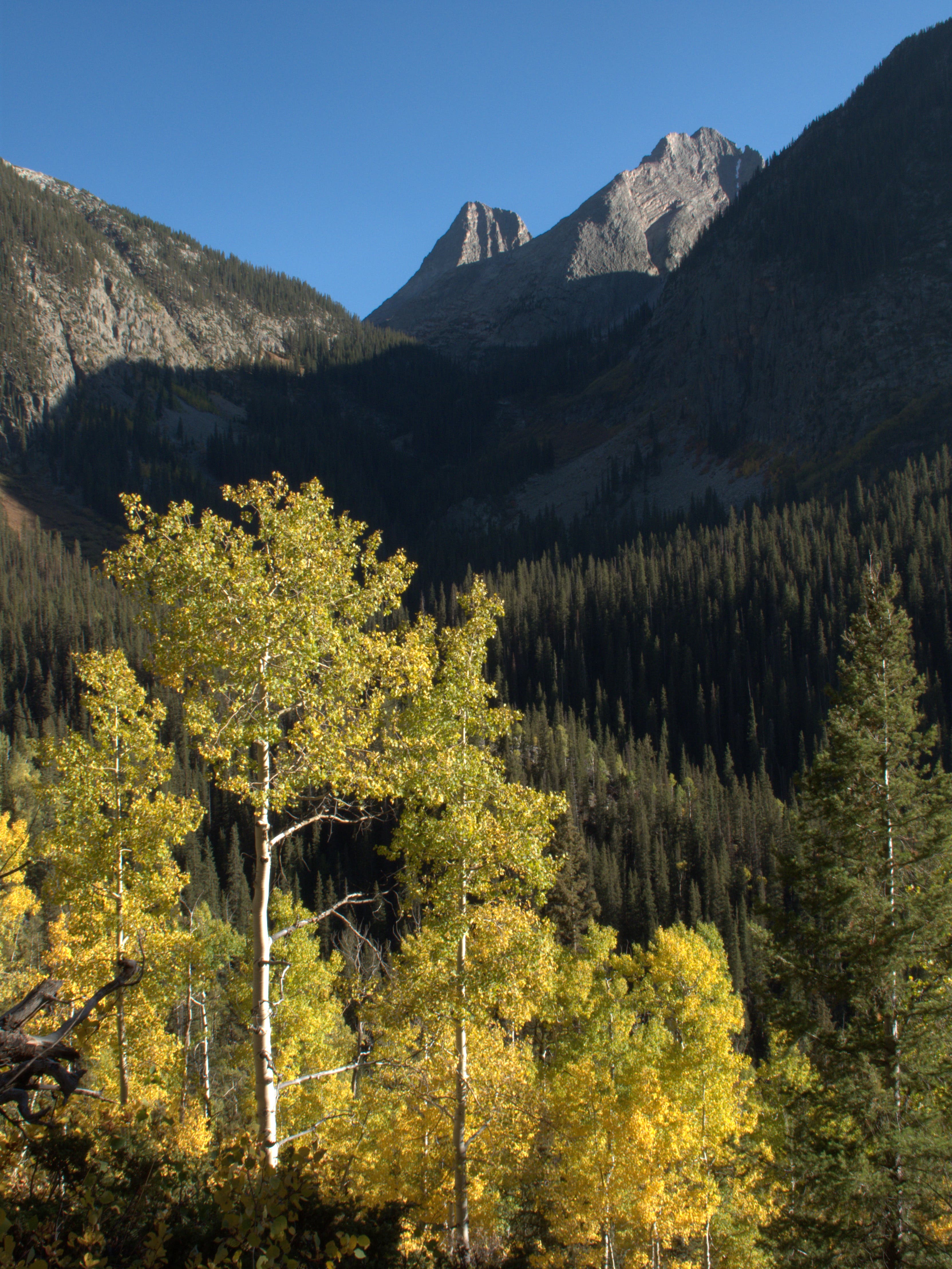
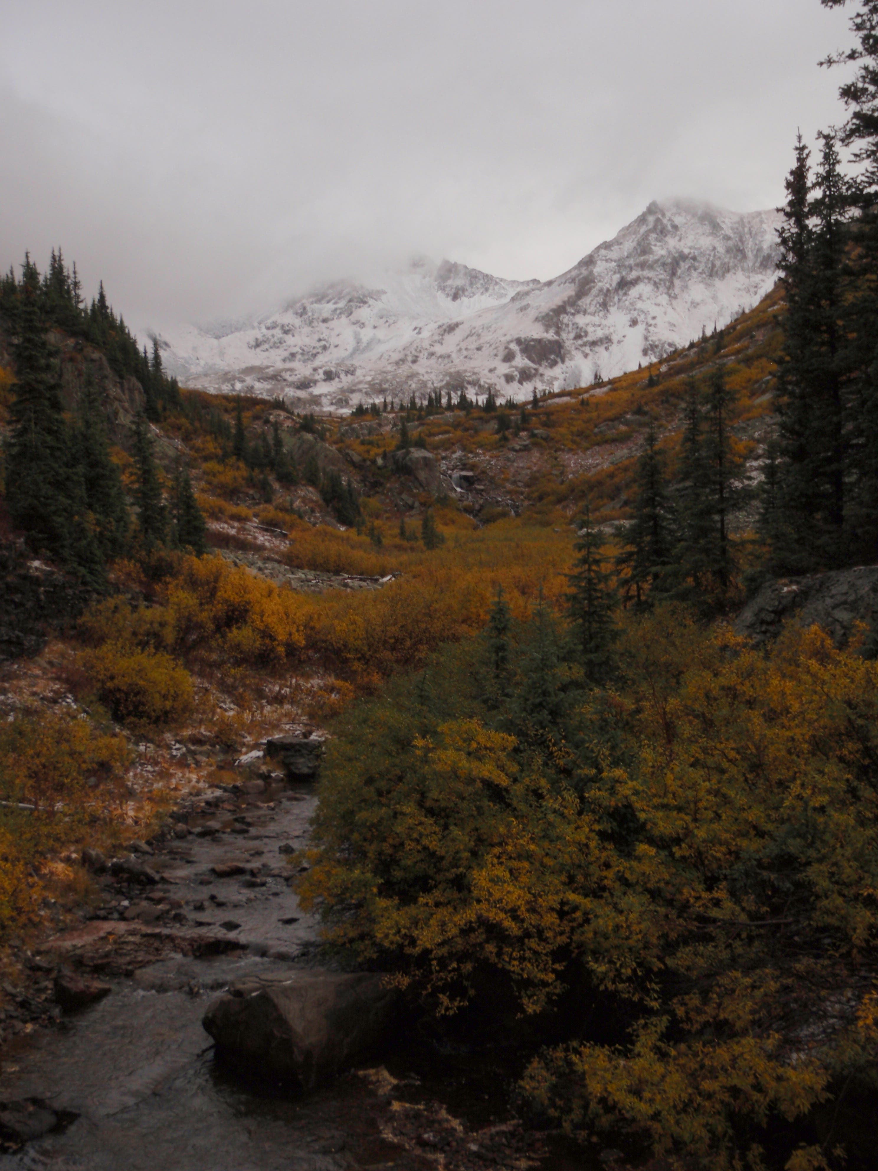
The very best section of the 483-mile Colorado Trail lies along this 40-mile San Juans stunner. Start at 12,500 feet and drop past hidden waterfalls into the Animas River Valley, where the Grenadier Peaks tower overhead.
Heading out the door? Read this article on the new Outside+ app available now on iOS devices for members! Download the app.
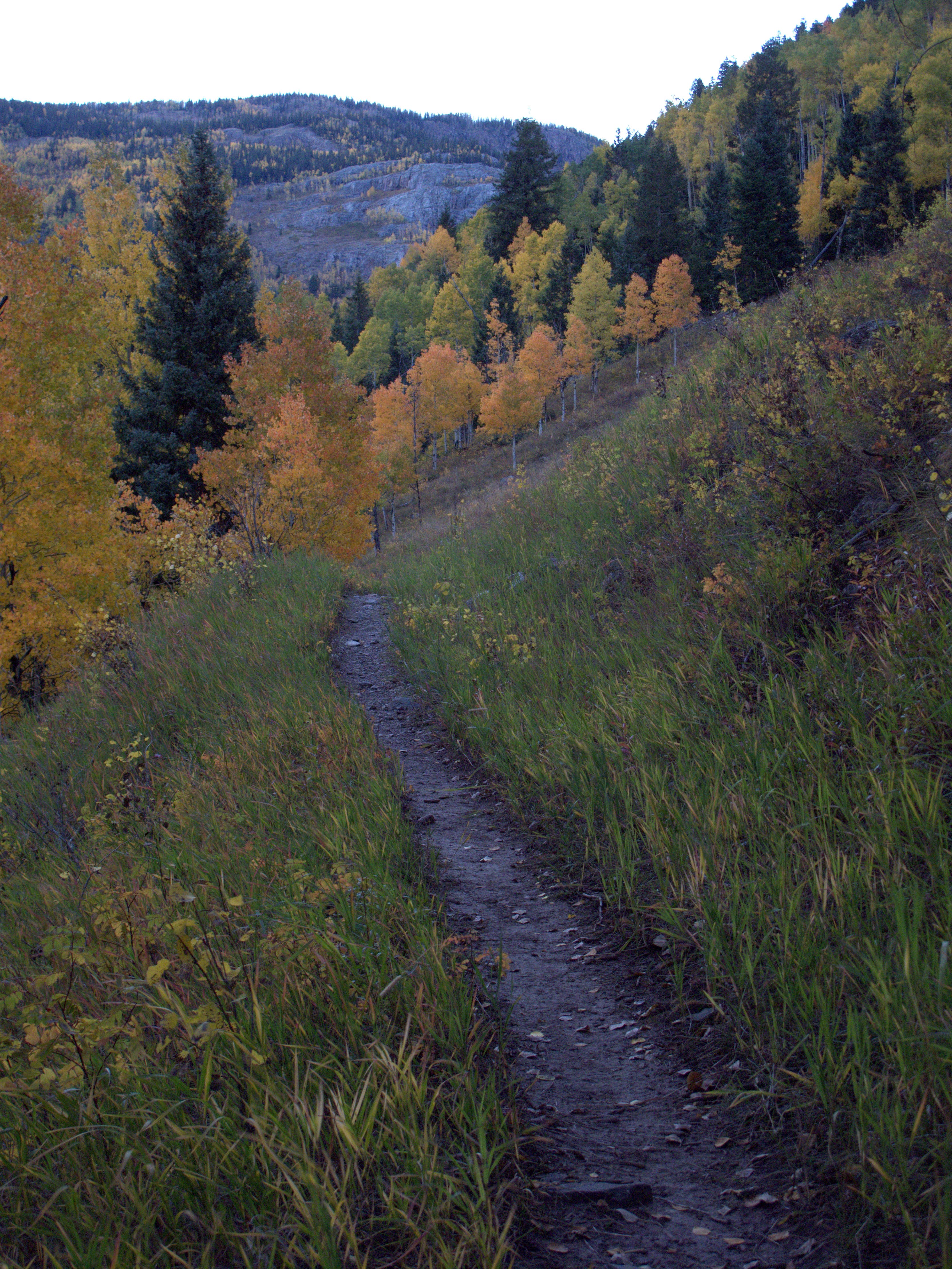
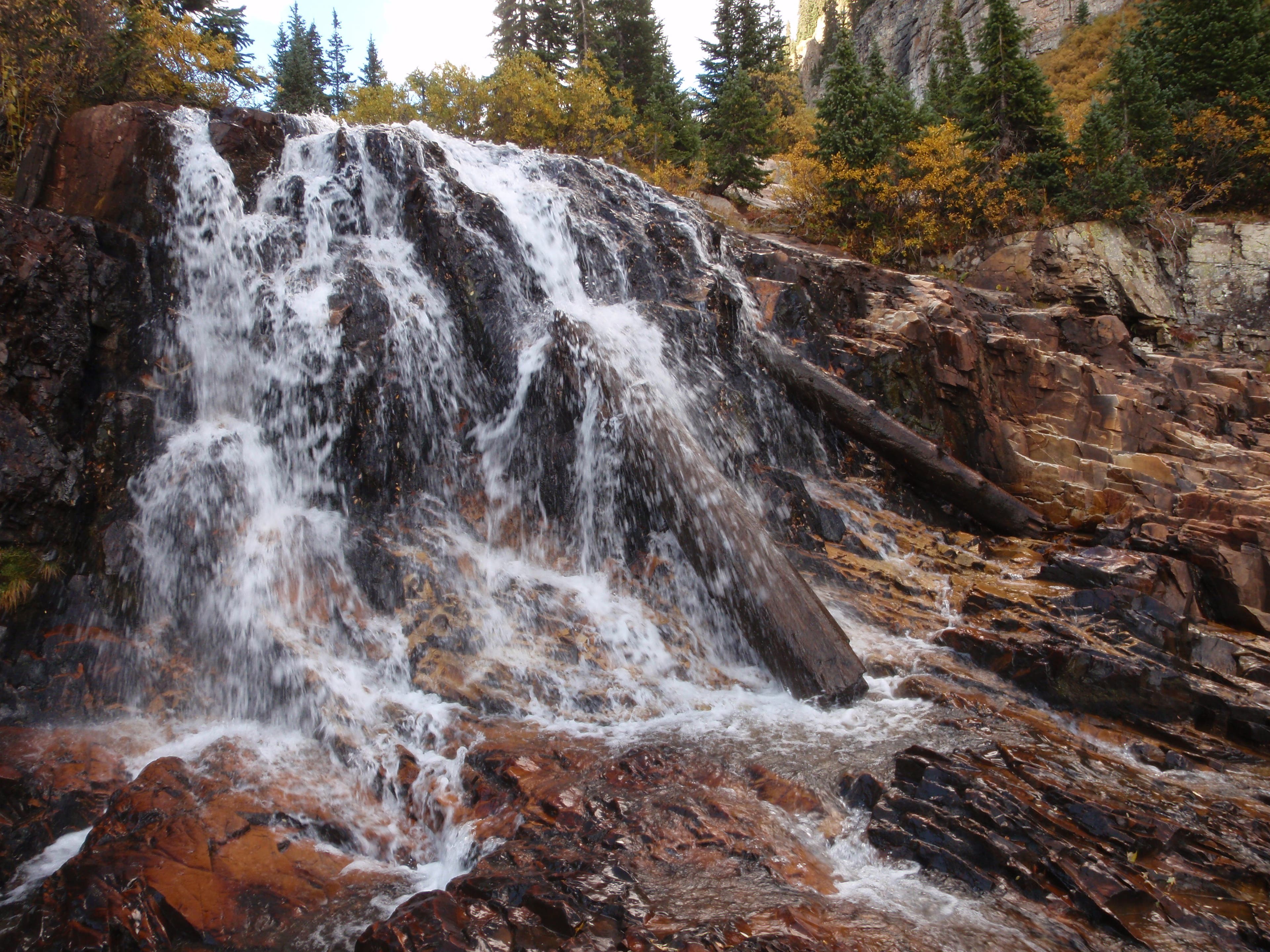
For most of us, taking on the entire Colorado Trail is a distant, and rather unrealistic, dream. But hitting some of the best highlights in just a few days is in reach thanks to this 40-mile point-to-point route in the San Juans. Enjoy alpine solitude among some of the most astounding mounts and falls in the region. Catch postcard-perfect shots along the entire trail, especially near the Animas River and the teeming Cascade Creek Falls.
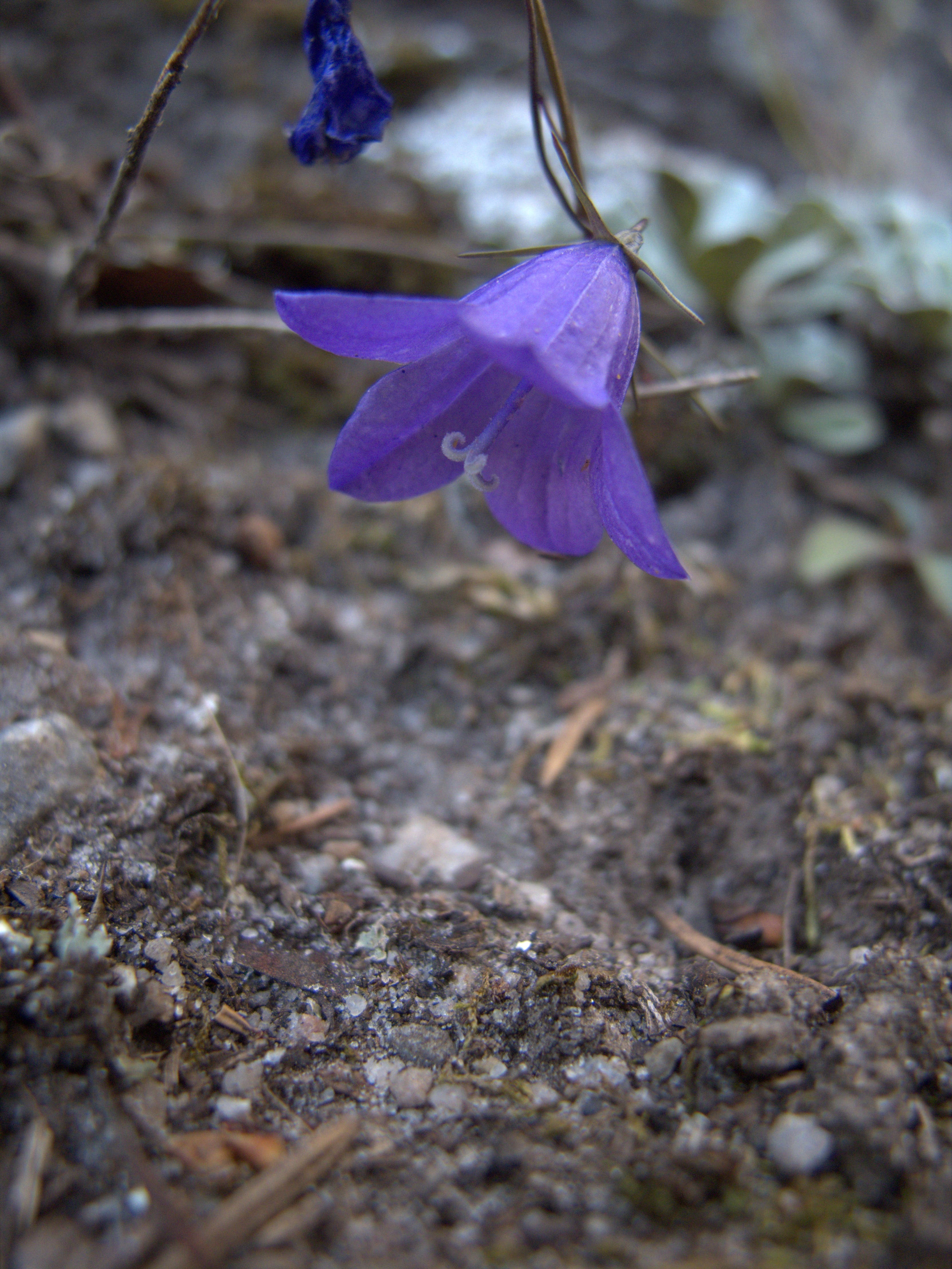
From the trailhead, which lies at 12,500 feet, begin by heading south six miles on the well-defined path. Meander through the treeless, alpine environment, passing remnants of a mining camp along the way. In spring, look for fields of wildflowers as you travel seven miles toward camp at Eldorado Lake or the Elk Creek Drainage area.
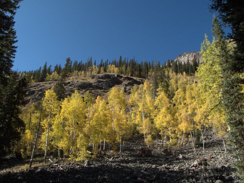
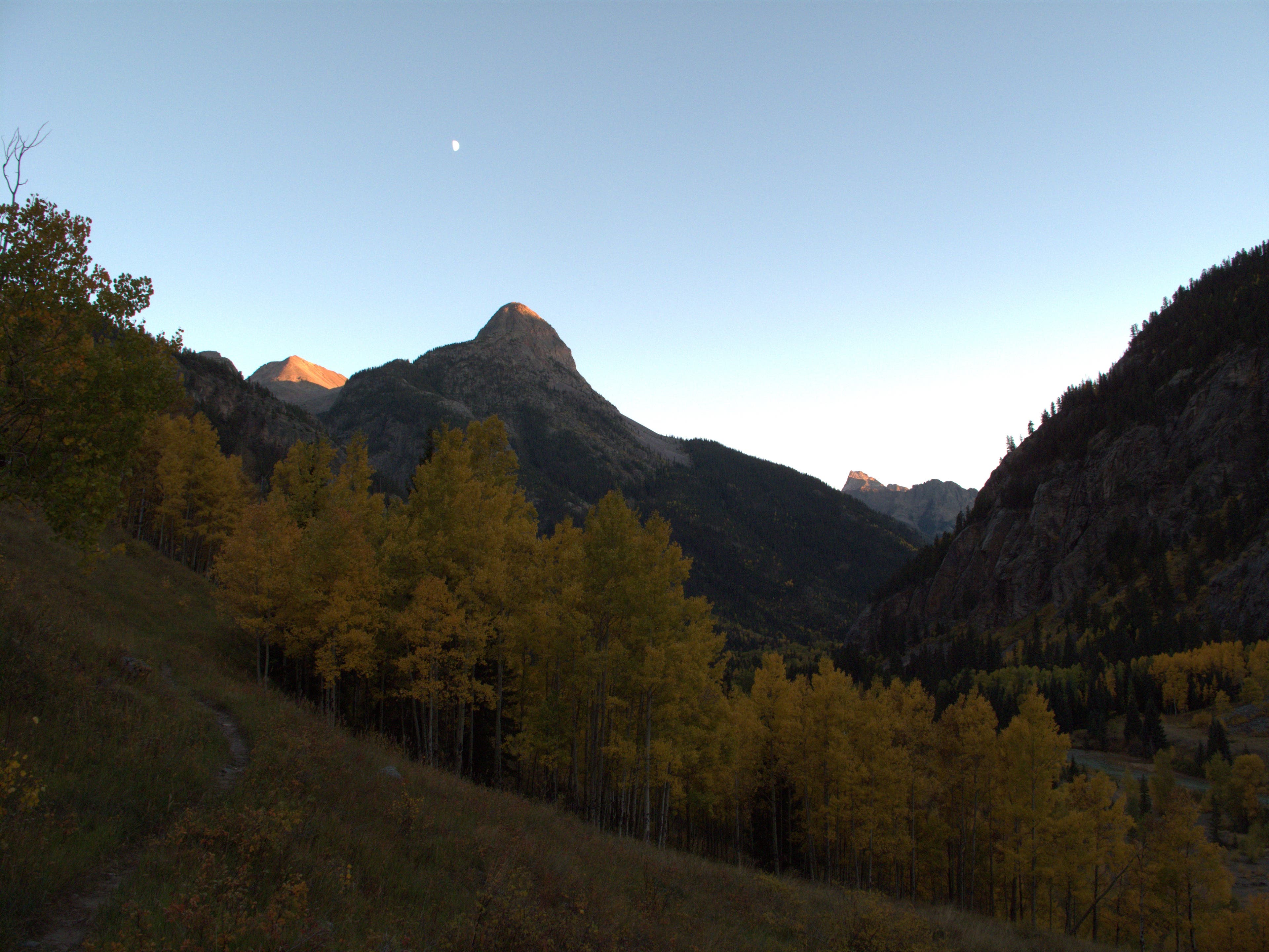
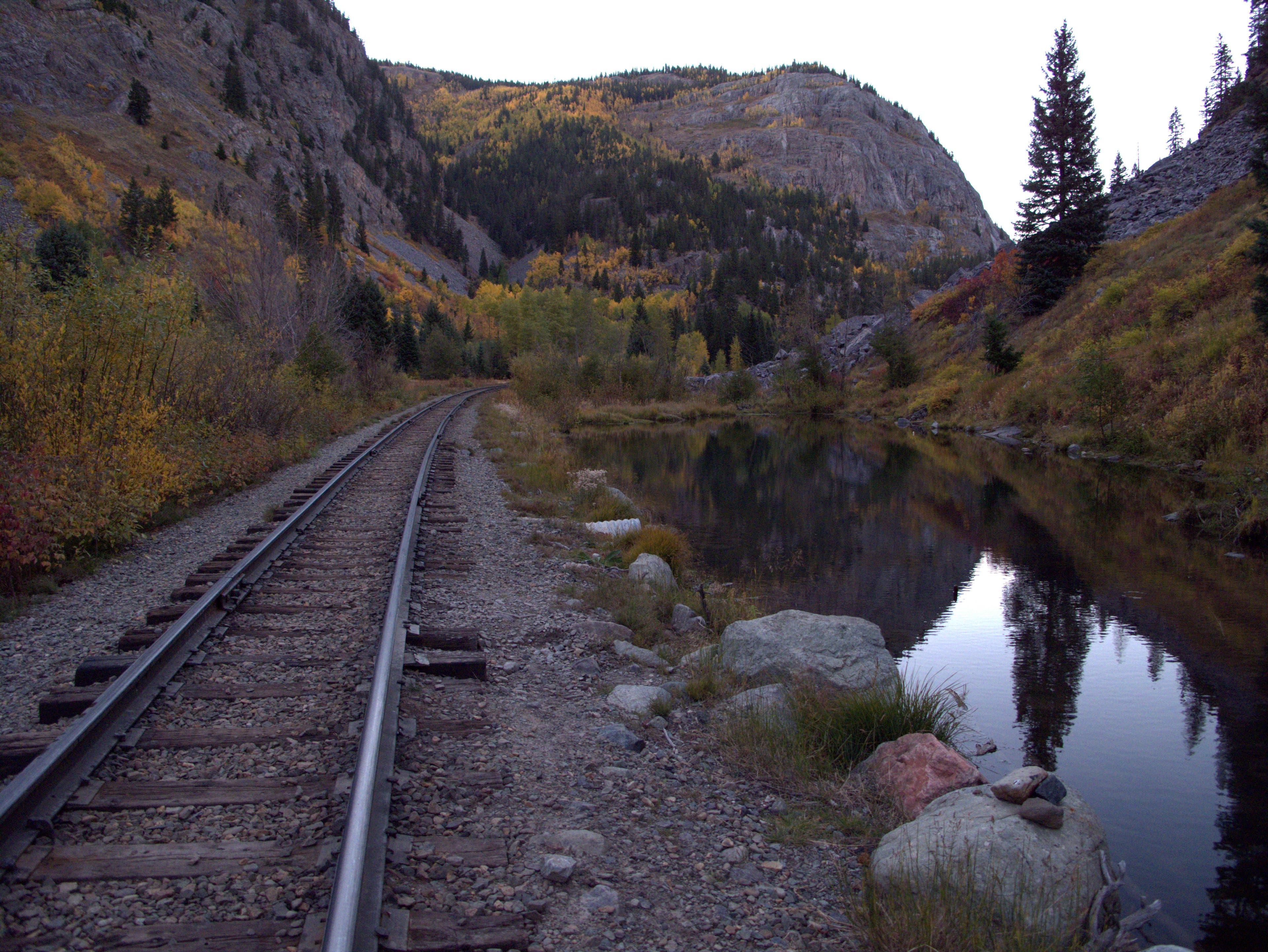
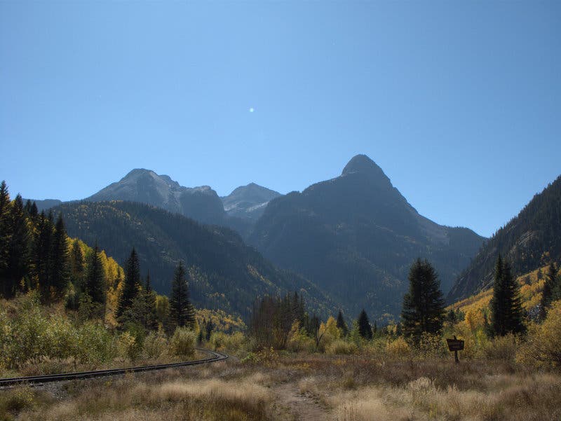
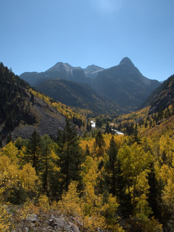
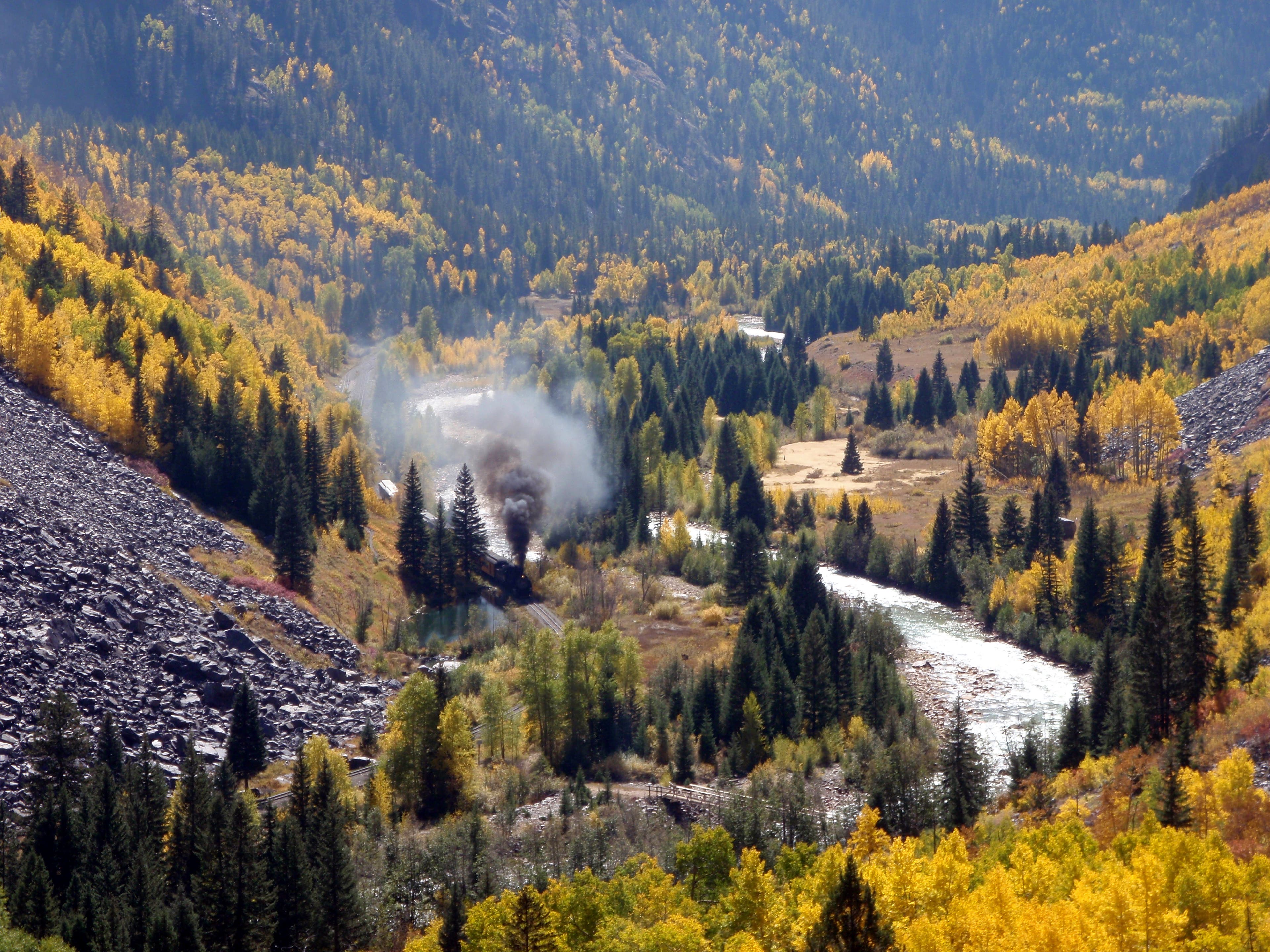
In the morning, begin the nine-mile descent into the cavernous Elk Creek Drainage area. Find water at a number of waterfalls that drop into the area. Enjoy the aroma of hillsides filled with Spruce and Aspen. Set up camp at the Animas River, where there are great views of the Silverton-Durango Narrow Gauge and the Grenadiers.
On the third day, feel the burn on a 1,900-foot climb over 4.5 miles to Molas Pass. Well-graded switchbacks make this section manageable and the breathtaking views of the San Juans don’t hurt either. During the summer, stop by the Molas Lake Campground for supplies and a hot shower. From here, continue nearly one mile, crossing the Million Dollar Highway (US 550), to Little Molas Lake Campground. Enjoy lunch and a view before finding a campsite. Several great spots lay between miles 25 and 27.5.
On day four, start the steady climb up Rollings Pass, enjoying sweeping views of the drainage on the descent to Cascade Creek. Hike to a campsite at mile 33, to rest for the climb on the last day. Wake up with Grizzly Peak standing tall overhead and begin the last climb up to a small pass on Sliderock Ridge. Keep an eye out for views of the pink and sand rocks of Engineer Mountain as you pass through trees in an old spruce forest. Enjoy the last stretch, through a grassy meadow, before reaching Celebration Lake.
CAUTION: Prepare for snow along this entire route until early July.
PERMIT: San Juan National Forest has no formal backcountry permit or reservation system for small groups. Larger groups, as well as hikers looking for more information, are advised to visit the San Juan Public Land Center in Durango, CO for planning assistance, safety tips, directions, and regulations.
INFO: San Juan National Forest, (970) 247-4874; fs.usda.gov/sanjuan
-Mapped by Jeff Chow


Trail Facts
- Distance: 64.1
Waypoints
CTR001
Location: 37.794264, -107.546153
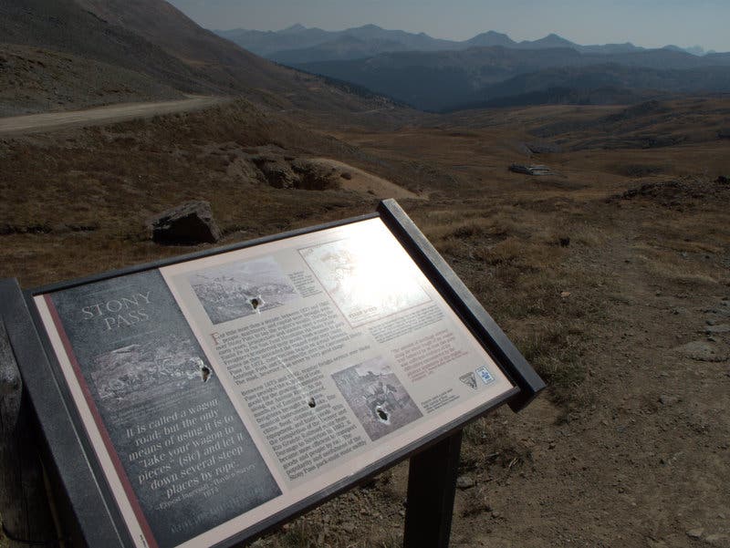
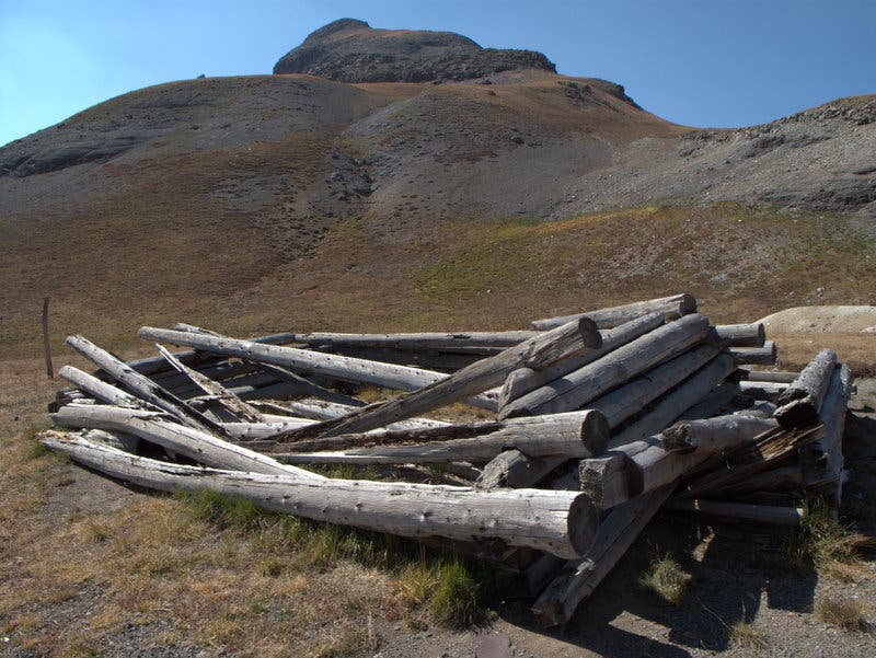
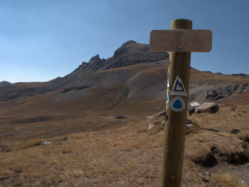
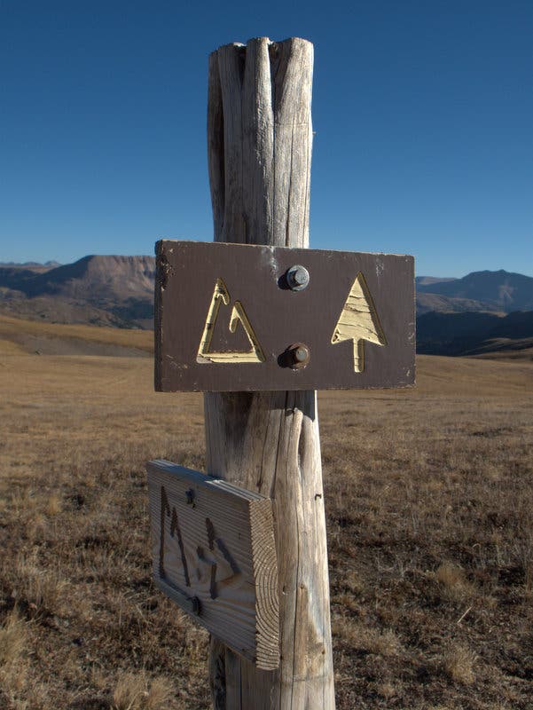
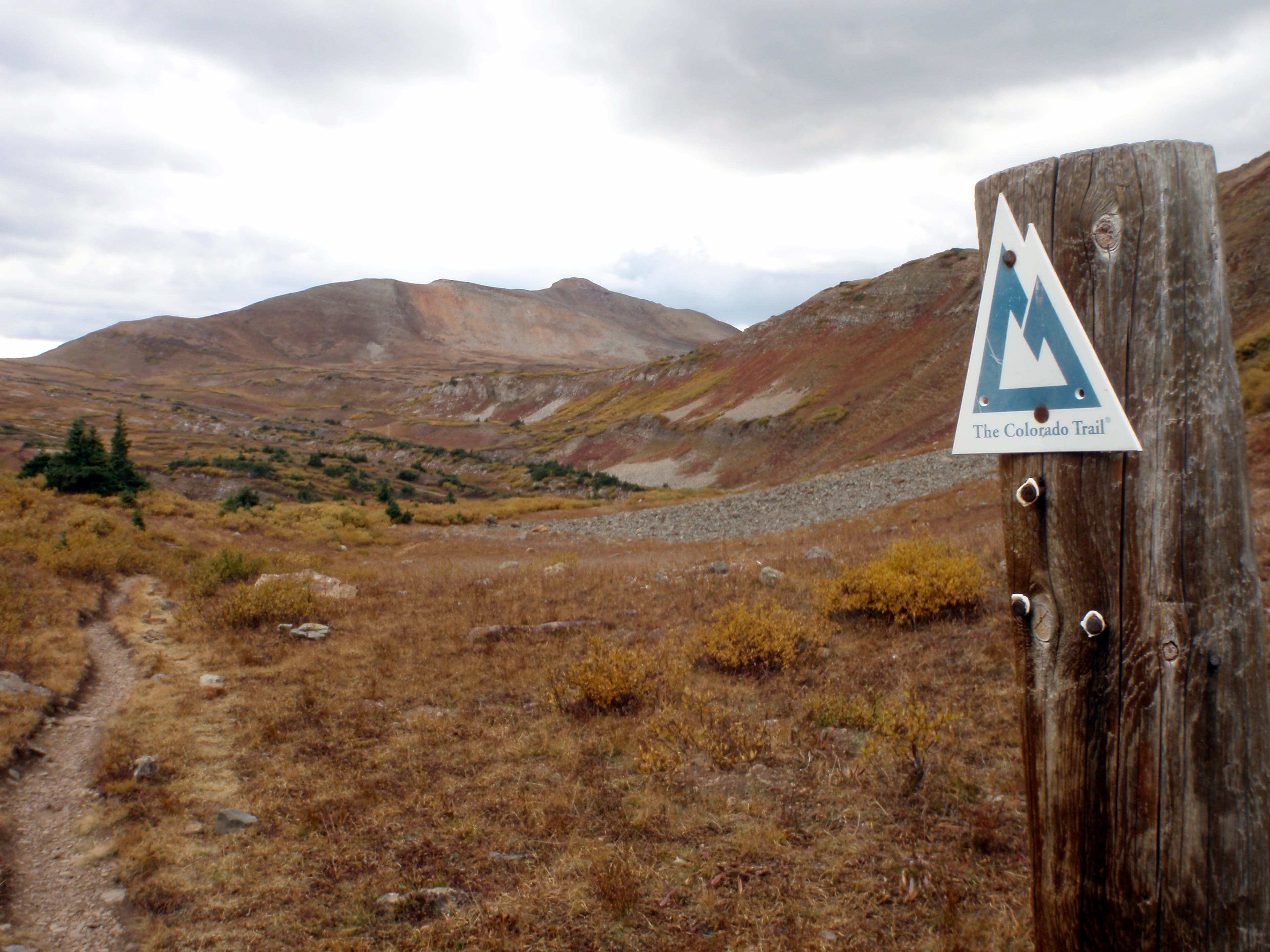
About 500 feet past Stony Pass, look for a 4-car parking pull-off with signs for the Colorado and Continental Divide Trails. As you head out, look for remnants of an old mining camp. Continue southwest, past a tiny stream.
CTR002
Location: 37.789567, -107.5483
Here, the trail dips into a valley, alongside a small stream. Climb out past a small pond and over a broad ridge.
CTR003
Location: 37.785267, -107.55245
At .8 mile, hike through a steep gulley. Look for sweeping views of the Rio Grande National Forest and the Weminuche Wilderness to the southwest.
CTR004
Location: 37.777717, -107.5556
At 1.4 miles, begin a descent through patches of hip-high brush while taking in views of the rocky climb ahead.
CTR005
Location: 37.77387, -107.555745
After a dip, follow the trail to the south and ignore the faint side trails, which come in from both sides.
CTR006
Location: 37.771483, -107.558317
Here, follow the signs and turn left at the T-intersection. The trail to the right descends into Cunningham Gulch.
CTR007
Location: 37.768283, -107.555683
Hike up the rocky trail to reach a small notch in the ridge. In .3 mile, pass a tiny stream and a pond on the left as you continue climbing to 12,600 feet.
CTR008
Location: 37.7604, -107.557483
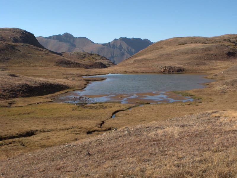
Look for a shallow lake to the west before continuing into the exposed divide. Watch for Ptarmigans blending in with the rocks.
CTR009
Location: 37.757033, -107.556867
Pass a seasonal pond on the right before coming to a steep gorge with views of Vestal and Arrow Peaks in the distance.
CTR010
Location: 37.745472, -107.552934
Here, cross a small saddle in a broad divide. Continue about one mile on similar terrain.
CTR011
Location: 37.73155, -107.543083
At 5.5 miles, begin the descent to a small valley with four ponds. Continue to follow the signs and trail to the southeast. Keep an eye out for a number of good water sources ahead.
CTR012
Location: 37.72995, -107.538333
At the stream crossing, make sure to fill up – this is the last source until Elk Creek Drainage. In 0.2 mile, pass a pond and lush marsh area on the left.
CTR013
Location: 37.725867, -107.53205
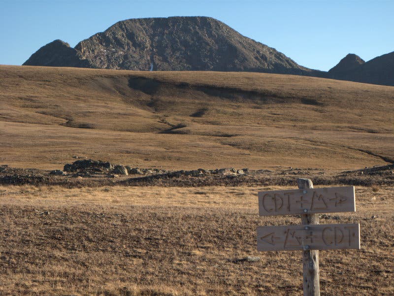
Climb to this small pass where the trail splits from the CDT. Take a sharp right and head west up the grassy hillside, where the trail joins an old Jeep track.
CTR014
Location: 37.722163, -107.536261
At 6.5 miles, rejoin the alternate, guidebook-recommended route as you approach the hill.
CTR015
Location: 37.718967, -107.53625
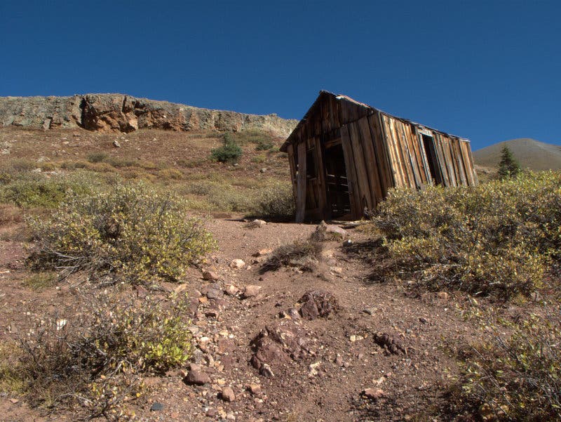
From a height of 12,580 feet, soak in your last views to the east and the headwaters of the Rio Grande in Rio Grande National Forest. Down below, spot a small mining cabin at the base of the rocky cliffs.
CTR016
Location: 37.718383, -107.536117
At the intersection, enjoy one of the best views on the Colorado Trail. From here, take a sharp right and descend on 27 graded switchbacks into Elk Creek Drainage. For a great first night campsite, continue straight at the intersection and follow an old mining trail to Eldorado Lake.
CTR017
Location: 37.717678, -107.539029
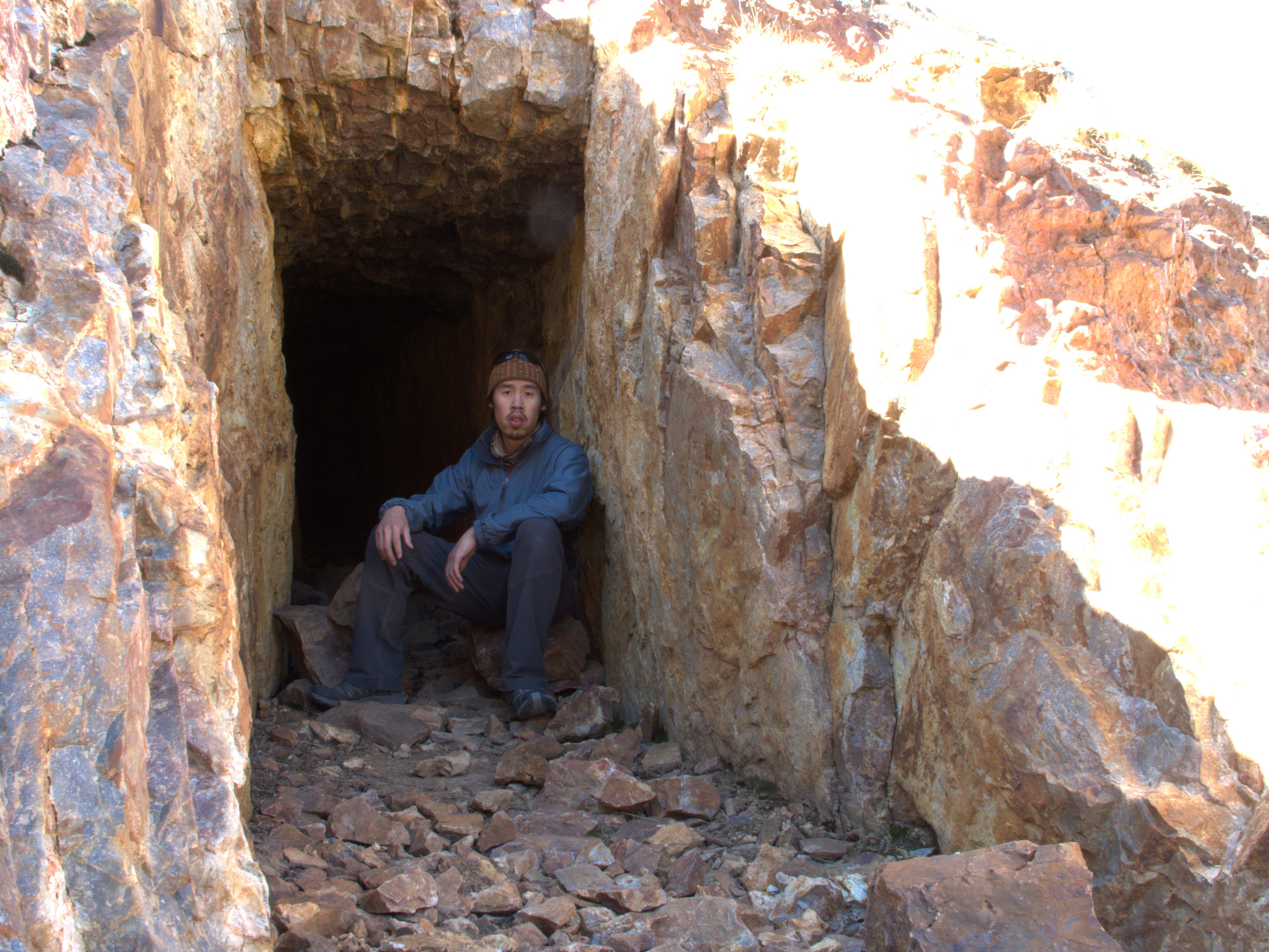
At 7.3 miles, the trail passes an abandoned mine before beginning a 9-mile descent.
CTR018
Location: 37.717122, -107.543149
Cross a small stream before reaching an abandoned miners’ cabin. On the south wall, look for falls coming from Eldorado Lake.
CTR019
Location: 37.716778, -107.544217
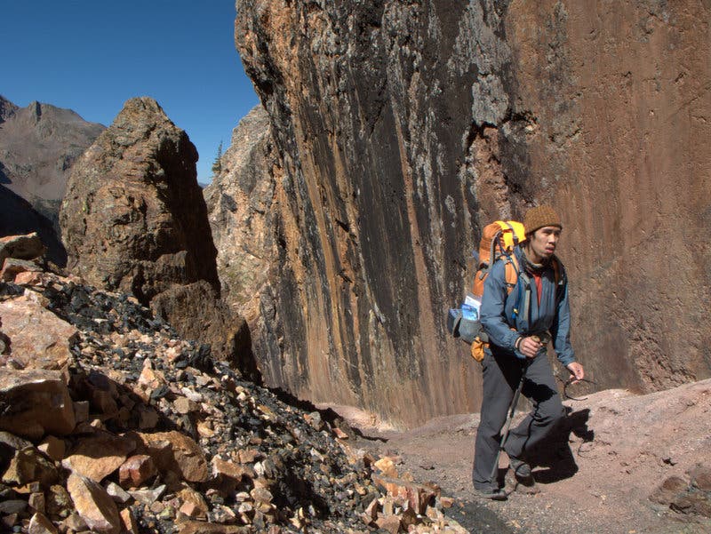
Here, the trail runs alongside Elk Creek, between a short vertical fin of rock and the smooth north face. From here, the trail climbs away from the water’s edge and up through a notch in the smooth rock wall.
CTR020
Location: 37.716689, -107.546368
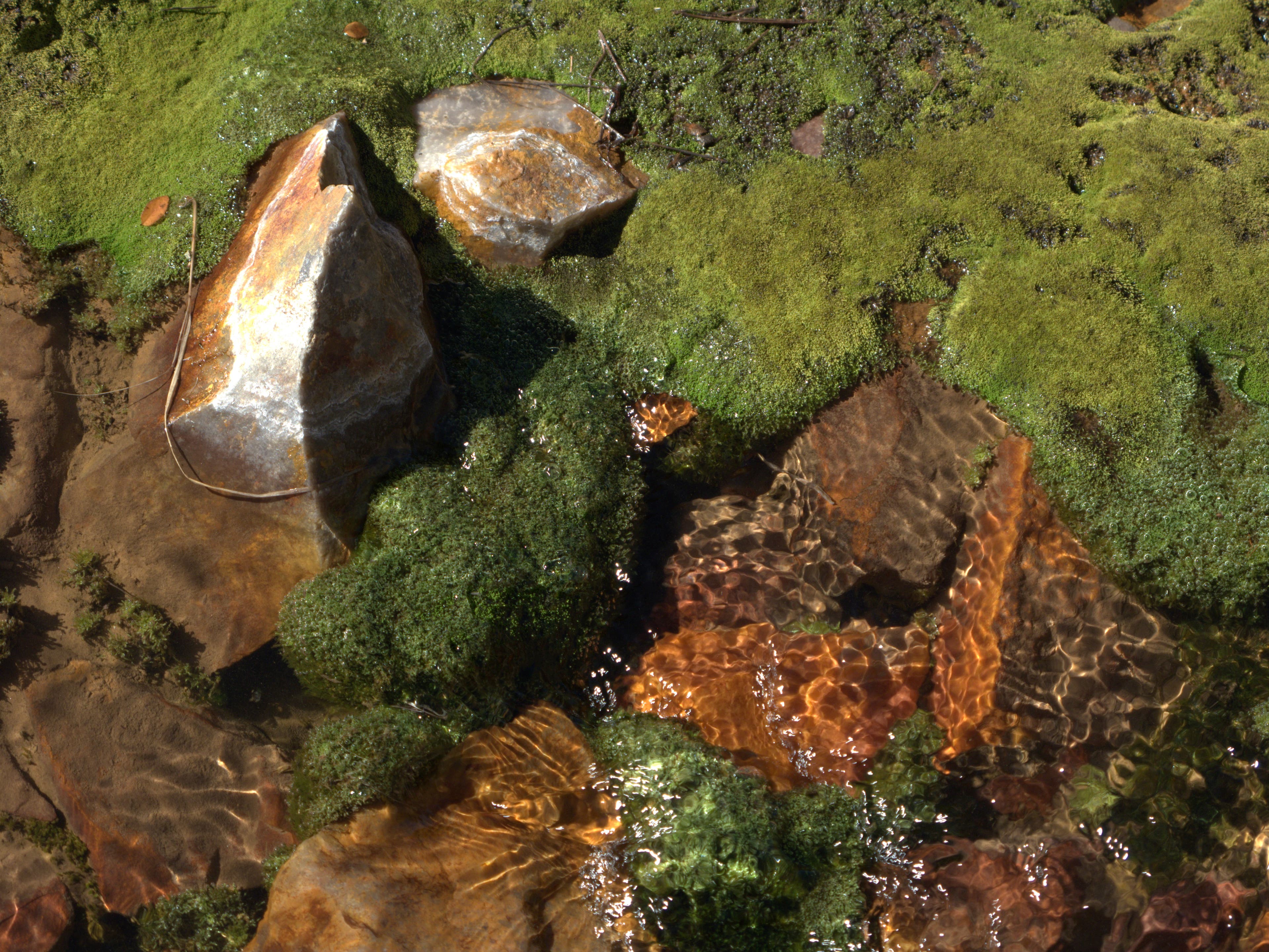
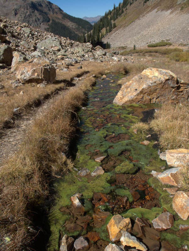
Almost eight miles from the trailhead, a small stream joins Elk Creek. Strong sulfur deposits emit the classic rotten-egg smell and cover the rocks with a powdery, cream-colored coating. In about 500 feet, cross Elk Creek in a nutrient rich area, where algae flourishes.
CTR021
Location: 37.717232, -107.549286
Cross a small stream and look to the north for a skinny waterfall from ponds on the cliff’s edge, 800 feet above. Ahead, look for the first scraggly conifers as the trail separates from the creek and climbs up the loose rocky hill.
CTR022
Location: 37.717843, -107.556753
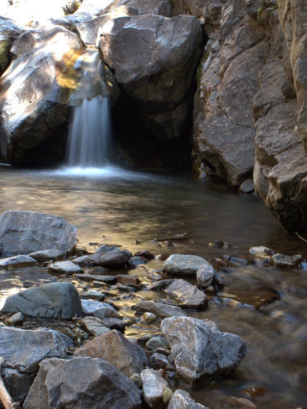
Look for the waterfall off the south cliffside.
CTR023
Location: 37.717368, -107.560551
At 8.6 miles, as the trail descends back down to creek level, find a small campsite with water access.
CTR024
Location: 37.717467, -107.563817
Look for a faint trail leading to a riverside campsite.
CTR025
Location: 37.718631, -107.565562
At 9 miles, cross a stream and make the short side trip to a spectacular hidden waterfall. Along the next two miles, look for campsites along the creek.
CTR026
Location: 37.722567, -107.570517
Here, the steep vertical walls give way to a wider landscape.
CTR027
Location: 37.726367, -107.576517
Here, look for a waterfall and a small campsite.
CTR028
Location: 37.7243, -107.590733
Continue to look for campsites in this valley area. Also, in about 300 feet, pass a beautiful strand of aspens before entering an open field.
CTR029
Location: 37.722933, -107.597933
The trail here is smooth and wide, but don’t let that fool you. The erratics to the left soon take over the treadway, making for a steep descent up ahead. In .6 mile, beaver ponds mark the end of this rocky section of trail.
CTR030
Location: 37.72075, -107.607583
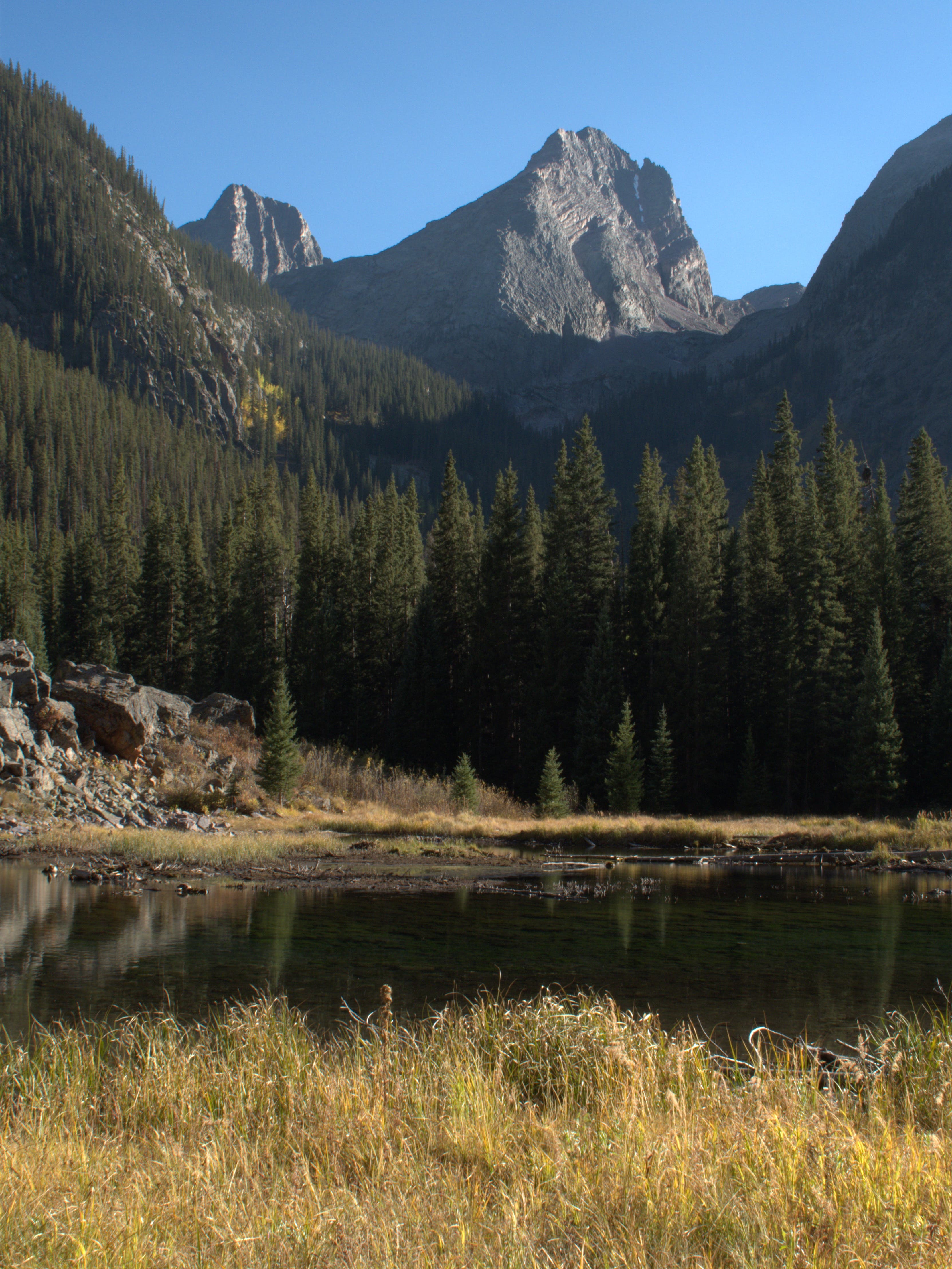
At the beaver ponds, look for excellent campsites on the south shore. The sharp peaks of Vestal and Arrow Peaks guard the southern view.
CTR031
Location: 37.719829, -107.610719
For the next 1.5 miles, the trail departs from the valley floor and traverses the hillside.
CTR032
Location: 37.721667, -107.61415
At 12.3 miles, cross a stream.
CTR033
Location: 37.720467, -107.618117
Look for two campsites shortly after the stream.
CTR034
Location: 37.7209, -107.622617
Emerge from the trees along this steep cliff’s edge to view a waterfall on the other side of the valley.
CTR035
Location: 37.721783, -107.62995
Continue to hike along the creek’s edge for short sections on the way to Elk Creek Park and Animas River.
CTR036
Location: 37.726533, -107.6441
Say goodbye to Elk Creek before the trail climbs the steep hillside to the border of the Weminuche Wilderness. In 250 feet, be careful crossing a fast moving steam along a cliff’s edge.
CTR037
Location: 37.7264, -107.650183
At 14.5 miles, spend one last night in the wilderness at a secluded campsite.
CTR038
Location: 37.7267, -107.65125
At 14.6 miles, pass through a strand of baby Aspens before reaching the edge of the Weminuche Wilderness, marked by an information sign. In 100 feet, keep right at the junction to continue on the Colorado Trail and descend to river level. Keep left to reach Elk Park and catch the Durango-Silverton Narrow-Gauge railroad.
CTR039
Location: 37.7321, -107.6594
At 15 miles out, the pond and railroad tracks mark the lowest point on this 40-mile stretch of trail. Follow the tracks to the north before veering off on a trail to the left. Relax and enjoy a view of the Grenadines at one of the campsites along the way.
CTR040
Location: 37.733475, -107.660866
After 15.3 miles, hike across a bridge over the Animas River. Stop for water at a reliable stream, about 500 feet past the river crossing.
CTR041
Location: 37.735083, -107.661517
Fill up at the stream here – this is the last water source on the way to Molas Pass. Also, prepare for switchbacks on the 700-foot climb to the pass.
CTR042
Location: 37.740417, -107.666783
At 16.5 miles and an elevation of 10,000 feet, take a side trail east to a clearing for grand views into the Animas River Valley with the Grenadines in the background.
CTR043
Location: 37.741683, -107.667333
Rejoin the thick pine forest as the trail continues to gain altitude.
CTR044
Location: 37.742467, -107.67055
At 17.2 miles, take one last view into the valley.
CTR045
Location: 37.741942, -107.673976
Prepare to be exposed to the elements through Molas Pass as the trail leaves the protection of the trees and heads into an open meadow.
CTR046
Location: 37.739767, -107.681917
At the Y-junction, fork right and continue the climb out of the valley.
CTR047
Location: 37.7405, -107.68585
Continue north at the Y-junction.
CTR048
Location: 37.743817, -107.686467
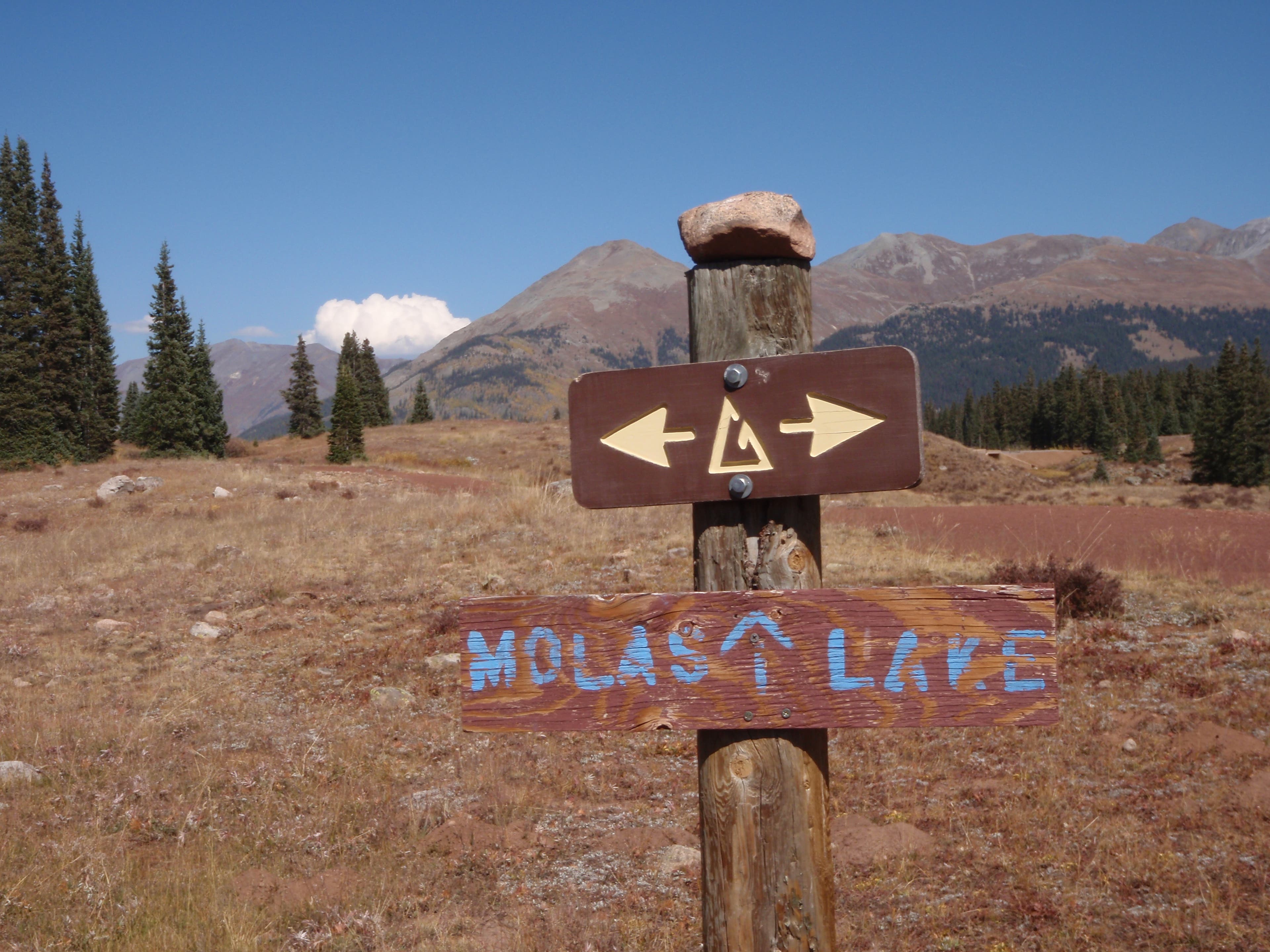
At 18.4 miles, continue straight at the junction. Take the side trail, which leads to a seasonal camp store, if you’re looking for basic supplies or a hot shower.
CTR049
Location: 37.74481, -107.688208
Continue left at the junction. The trail to the right heads to a large parking lot and the trailhead for the section you just completed.
CTR051
Location: 37.742282, -107.691572
At 18.9 miles, cross a stream and climb one mile up to Molas Pass and US-550 on a section with a couple of switchbacks.
CTR052
Location: 37.739482, -107.698052
At almost 20 miles out, the trail reaches US-550, or the Million Dollar Highway. Cross the road and continue about 0.5-mile to Little Molas Lake.
CTR053
Location: 37.740704, -107.708019
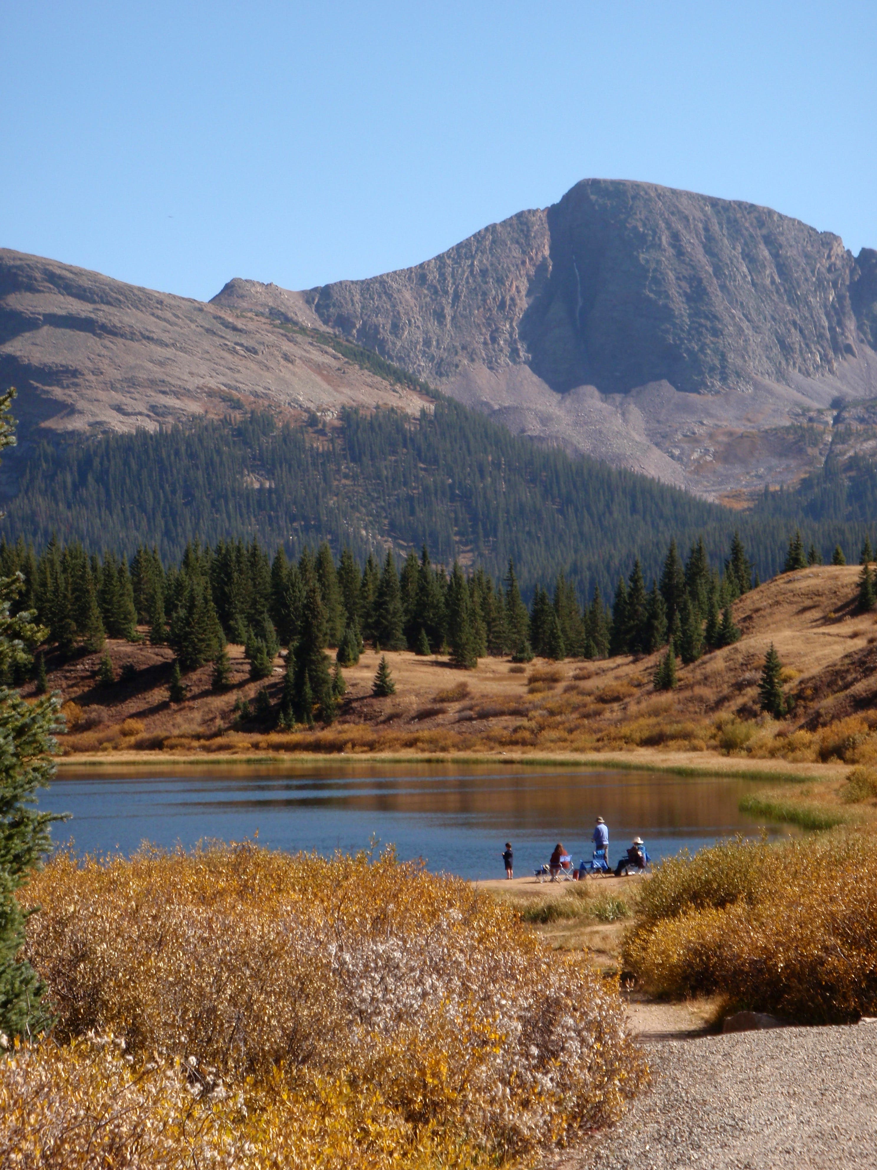
Pass by Little Molas Lake, a popular fishing spot with free campsites in the campground beyond the lake.
CTR054
Location: 37.742483, -107.71185
At 20.7 miles, look for parking and toilets at Little Molas Trailhead. Follow the trail as it climbs 200 feet to Lime Creek Drainage.
CTR055
Location: 37.746583, -107.715533
Thank old Lime Creek Burn of 1879 for the big views to the south. Though not normally above timberline, trees, for the most part, remain absent from the area. Also, prepare to cross a small stream in a few hundred feet.
CTR056
Location: 37.74395, -107.725583
Take a sharp right and climb straight up the broad ridge on this deeply-rutted treadway.
CTR057
Location: 37.752367, -107.718967
At this junction, continue left to a sparse spruce grove. The trail to the right leads back to Little Molas Lake Campground.
CTR058
Location: 37.766283, -107.727017
Scramble over a large rock step with views into the valley to the north. Also, scan the skies for weather because this spot offers the last northward view for a stretch. Take the low or high road before beginning a gentle descent.
CTR059
Location: 37.765083, -107.744283
A 12-foot conglomerate rock marks a difficult stream crossing. Use caution, the stream falls 15 feet just off the edge of the trail.
CTR060
Location: 37.769217, -107.7536
As the trail descends toward the creek, look downhill for a campsite. Keep an eye out for wildlife in this area, where animals are active in the late evening and early morning.
CTR061
Location: 37.768561, -107.754958
At mile 25.8, stop at Lime Creek for water. Afterward, follow the trail around the marsh to a campsite downhill on a small bluff.
CTR062
Location: 37.7647, -107.756683
Enter the protection of the trees in this half-mile section of fern-covered spruce forest.
CTR063
Location: 37.764567, -107.76305
Catch a glimpse of the massive drainage ahead before crossing two tiny streams.
CTR064
Location: 37.766483, -107.77445
Here, look for a campsite with a great view of the valley. Also, look out for a number of enormous boulders along the trail for the next few miles.
CTR065
Location: 37.764778, -107.776866
At mile 27.7, stop at a large campsite with amazing views. Find water at a reliable stream just 100 feet back or at two large streams further down the trail.
CTR066
Location: 37.757633, -107.790417
At a large cairn, take a break from the climb and relax on a small hillside shelf.
CTR067
Location: 37.753467, -107.798967
Here, the trail runs adjacent to a stream, which appears as if it’s coming out of the rock. In about 100 feet, peek into a small cave.
CTR068
Location: 37.746433, -107.8053
At mile 29.9, look for a weathered trail sign marking the turnoff for the Engineer Mountain Trail. Head right to stay on the Colorado Trail and round the edge of a small pond as you continue to climb to Rolling Pass.
CTR069
Location: 37.75085, -107.8155
After passing through a couple of exposed rock fins, continue straight at a 4-way intersection with the Rico-Silverton Trail. Ahead, make a sharp left to head up the pass.
CTR070
Location: 37.749333, -107.816717
If there’s an easterly wind, be prepared for a gale as you cross Rolling Pass. Once out of the wind, check out a great view of the next drainage, which you’ll enter by a series of switchbacks down and to the right.
CTR071
Location: 37.74201, -107.832398
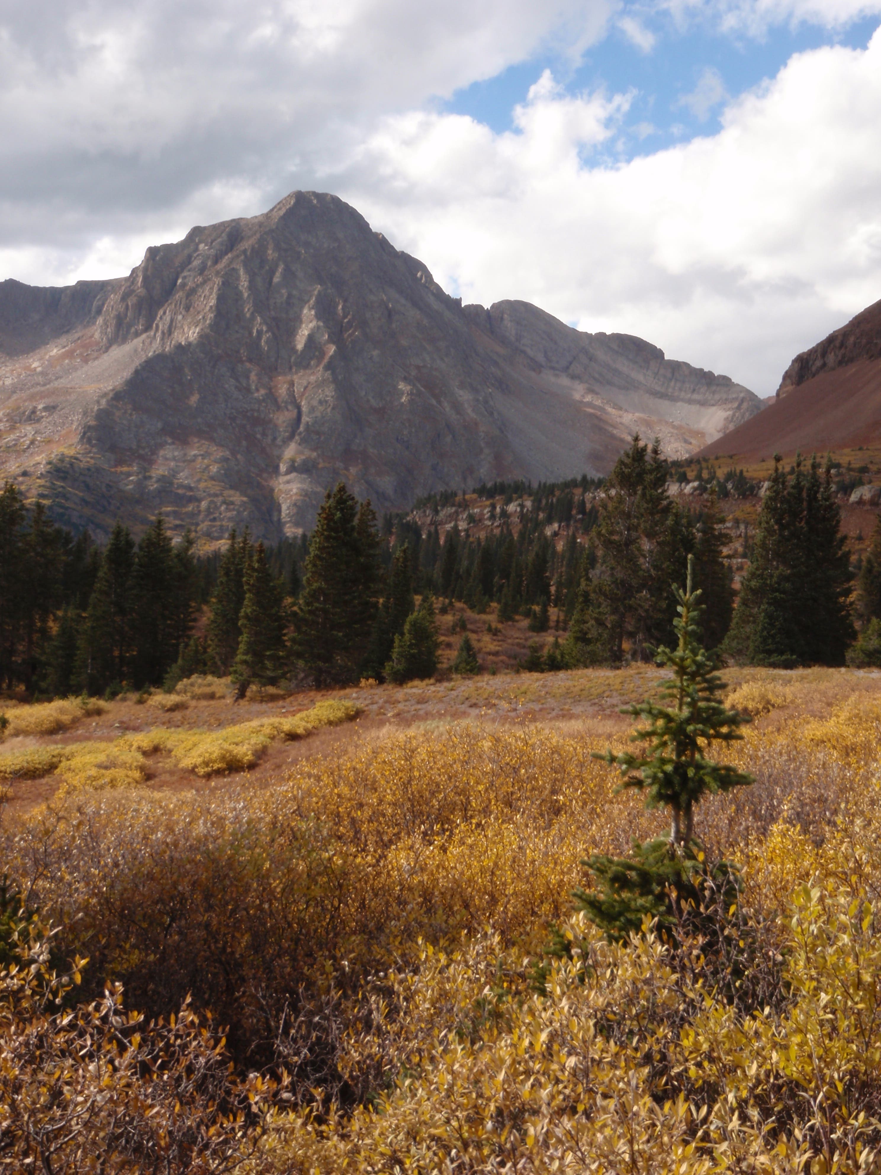
At mile 32.2, take the side trail on the right to a campsite with a view of Grizzly Peak and a nearby pond for water. Once back on the trail, take a sharp right turn in 250 feet, where the Colorado Trail heads away from the White Creek Trail.
CTR072
Location: 37.740283, -107.839933
Cross the stream on a reliable rock bridge. Then, continue to descend on a series of gentle switchbacks. Ignore the intermittent game-trail that cuts straight down the hillside.
CTR073
Location: 37.738633, -107.842133
At the end of the last switchback, look for an easy-to-spot campsite.
CTR074
Location: 37.74125, -107.845567
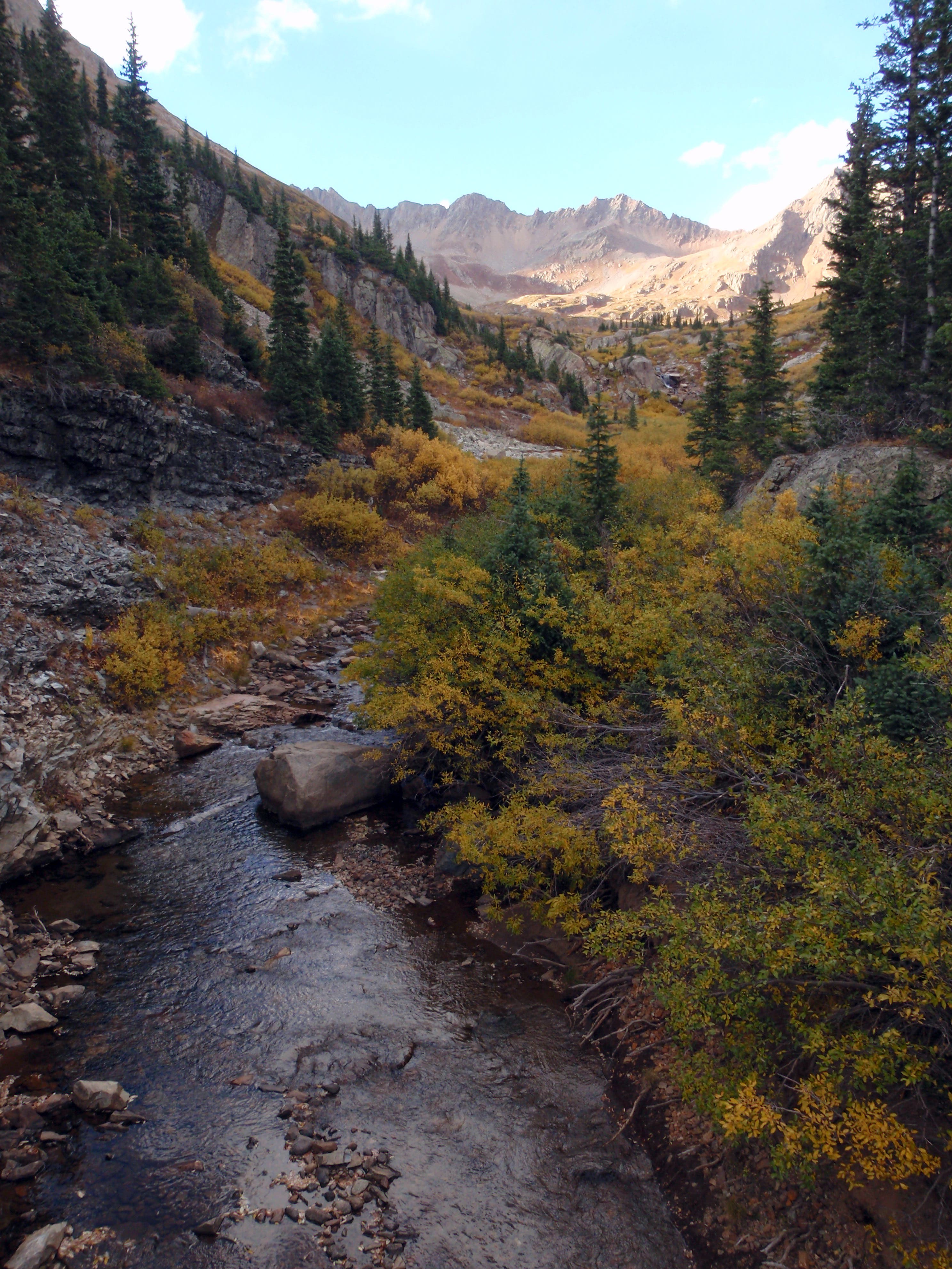
Drop your pack near the large stream and take a break by scrambling up to check out the falls and intricate rock erosion above. Afterward, continue on the trail, which crosses multiple streams to Cascade Creek.
CTR075
Location: 37.747115, -107.848422
The trail crosses Cascade Creek right above two 10-foot waterfalls. Look for a number of campsites near the trail, on the east side of the creek.
CTR076
Location: 37.743766, -107.850605
Here, the trail crosses the stream and continues steadily out of the drainage.
CTR077
Location: 37.739702, -107.852236
From this viewpoint, look across the valley to the the waterfall you passed the day before. Look out for other great viewpoints as the trail gains elevation.
CTR078
Location: 37.728567, -107.854867
Round the ridge line and get a short break from the final climb of the trip.
CTR079
Location: 37.729883, -107.861667
Continue past an unmarked trail sign to the right.
CTR080
Location: 37.729983, -107.86605
Hike along the edge of a giant talus field before arriving at a murky stream. The white powder on the rocks may be an indicator of acid mine discharge uphill, so wait to fill up at one of the clean streams up ahead.
CTR081
Location: 37.726133, -107.86345
After a stream crossing, keep right to stay on the Colorado Trail. Take a left to hike down to fire road 579.
CTR082
Location: 37.722104, -107.86422
Here, look for a small campsite with two nearby streams for water.
CTR083
Location: 37.719583, -107.865333
A tiny stream marks the start of the last ridge. Pass by a faint trail on the right, which also leads to the fire road.
CTR084
Location: 37.71665, -107.864317
Round another ridge and look for a small campsite.
CTR085
Location: 37.715875, -107.866259
Leave the trees and head into the open for the final stretch of the climb. Check out epic views of Engineer Mountain and the Grenadines behind you.
CTR086
Location: 37.713483, -107.879617
At the top of Sliderock Ridge, take in the views on both sides before taking off on the descent. The trail to the left leads to Graysill Mountain, but continue to the right to stay on the Colorado Trail.
CTR087
Location: 37.717817, -107.880967
On the descent, curve to the left and join an old Jeep road.
CTR088
Location: 37.717833, -107.890183
With less than a mile left, re-enter the trees and turn left onto a dirt road. Follow the road for a half-mile, until you spot a trail sign and a small spur trail to the left.
CTR089
Location: 37.714933, -107.901133
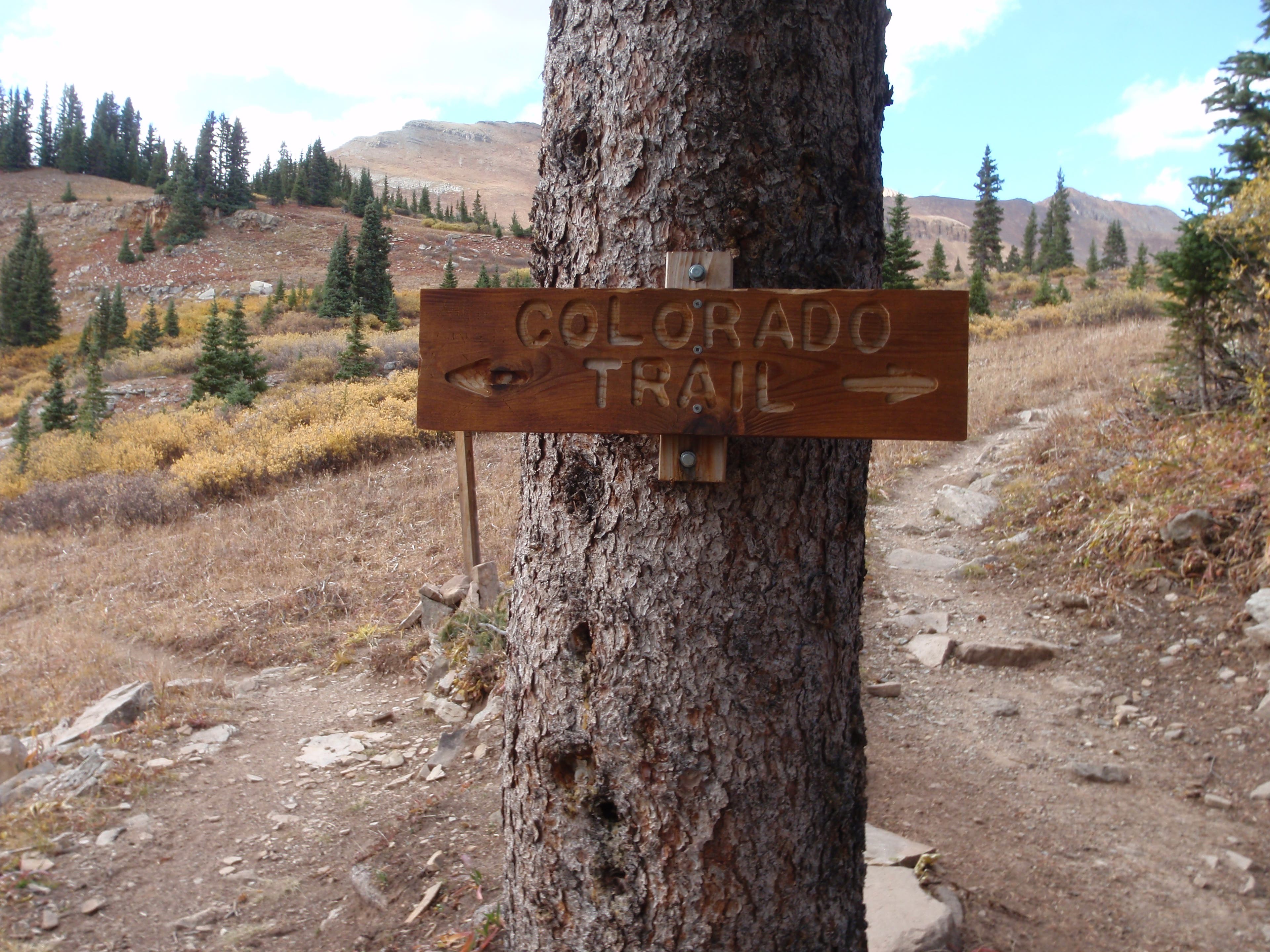
Veer left here, at a Colorado Trail sign that points toward Celebration Lake.
CTR090
Location: 37.713277, -107.903348
Reach your destination at Celebration Lake, which lies below Bolam Pass and is close to Forest Road 578.
The Animas River from the Colorado Trail
Location: 37.7336, -107.6612
Stony Pass
Location: 37.794775, -107.547719
Sign for CT and CDT
Location: 37.794271, -107.546073
Old Mining Cabin
Location: 37.793686, -107.547162
Small alpine lake
Location: 37.7596, -107.557583
Alpine meadow
Location: 37.731583, -107.543117
First light on the Grenadiers
Location: 37.7241, -107.534267
Sunset at 12,600′
Location: 37.72231, -107.536242
No trees equal big views
Location: 37.722439, -107.536215
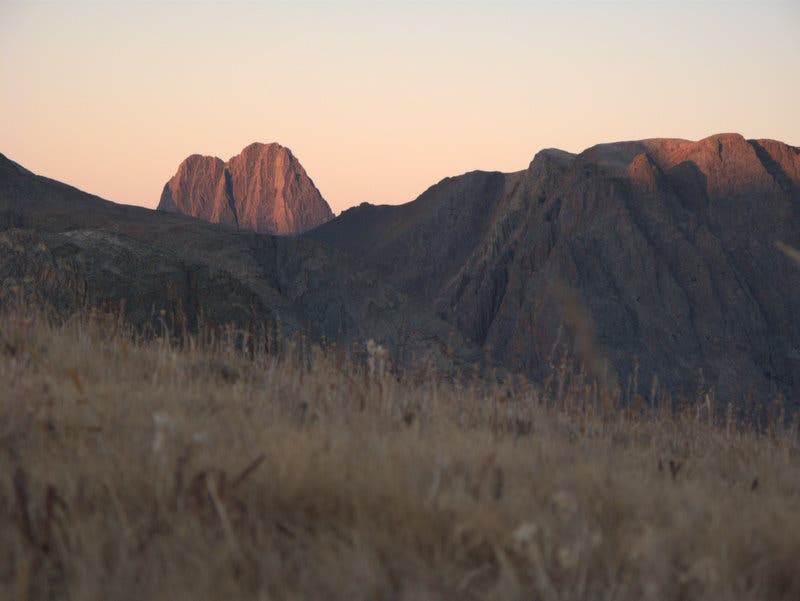
Vestal Peak at dawn
Location: 37.72238, -107.536232
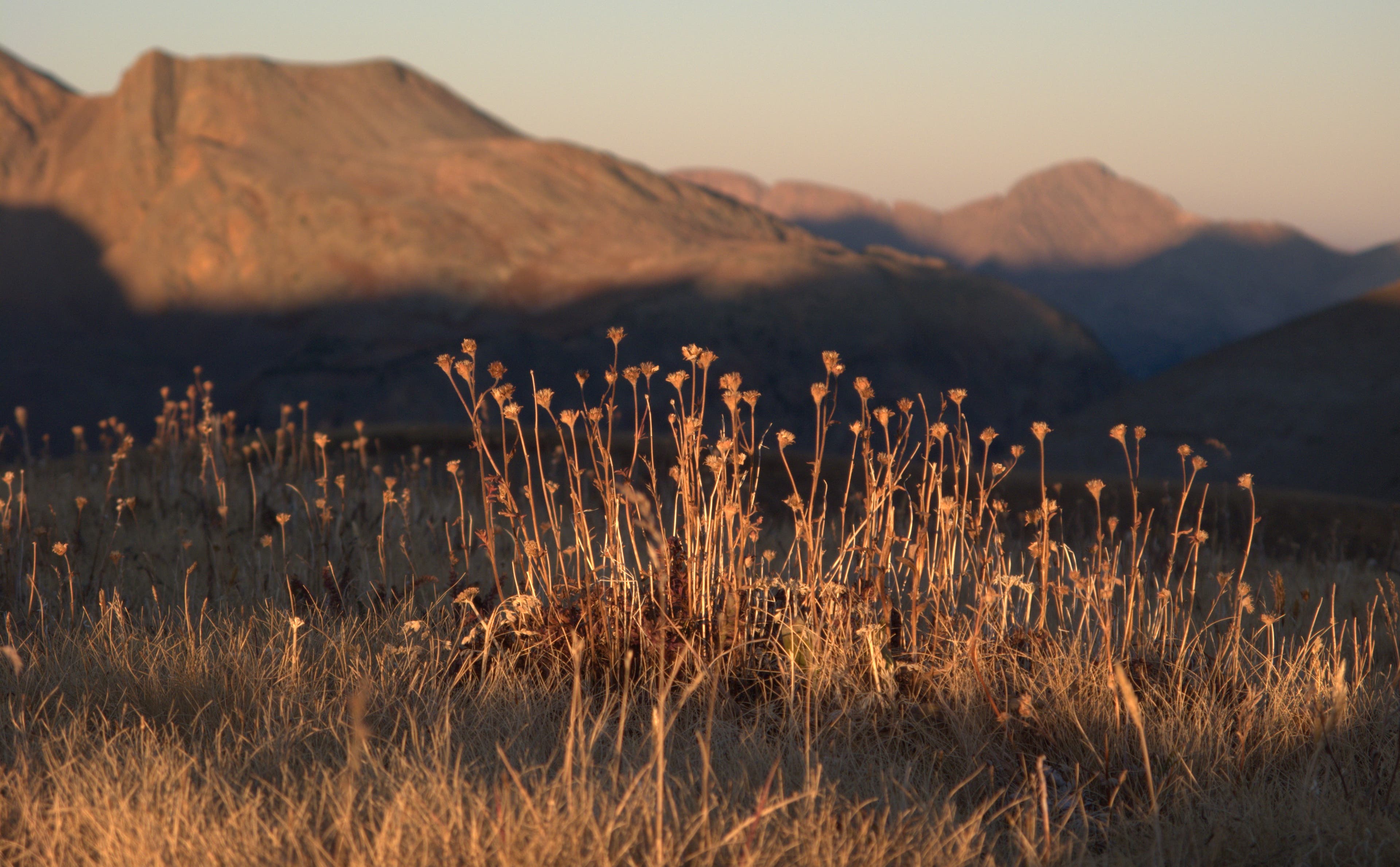
Alpine grass
Location: 37.722486, -107.536197
Colorado Trail straight ahead
Location: 37.722165, -107.536218
Old mine shaft
Location: 37.717678, -107.538965
Old mine shack
Location: 37.717165, -107.542977
Notch in the rock
Location: 37.716783, -107.545183
Moss in the stream
Location: 37.717233, -107.548267
Nutrient rich water grows algae
Location: 37.71725, -107.54845
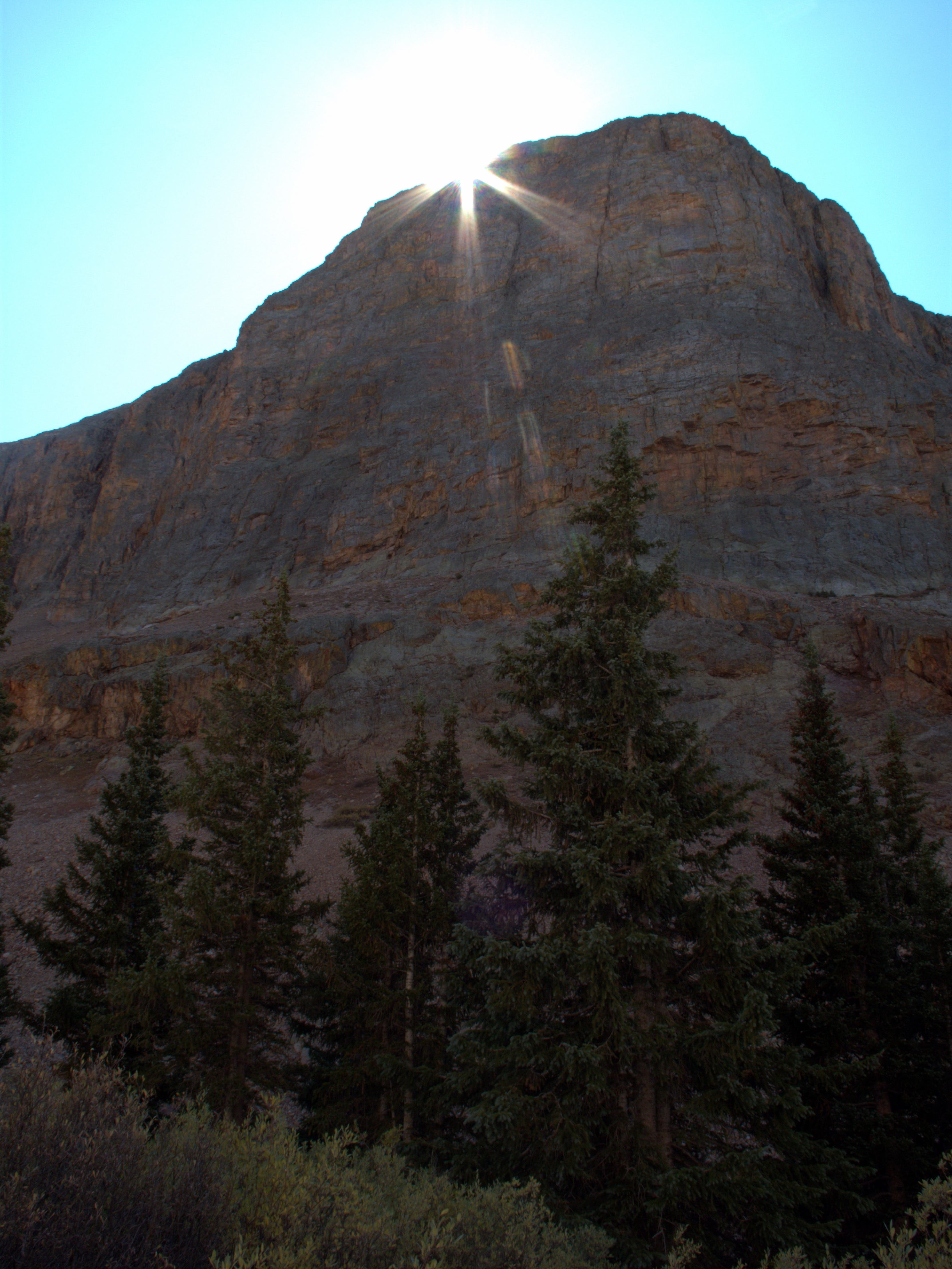
Sun behind vertical rock shelf
Location: 37.717423, -107.551233
Hidden waterfall
Location: 37.718616, -107.564599
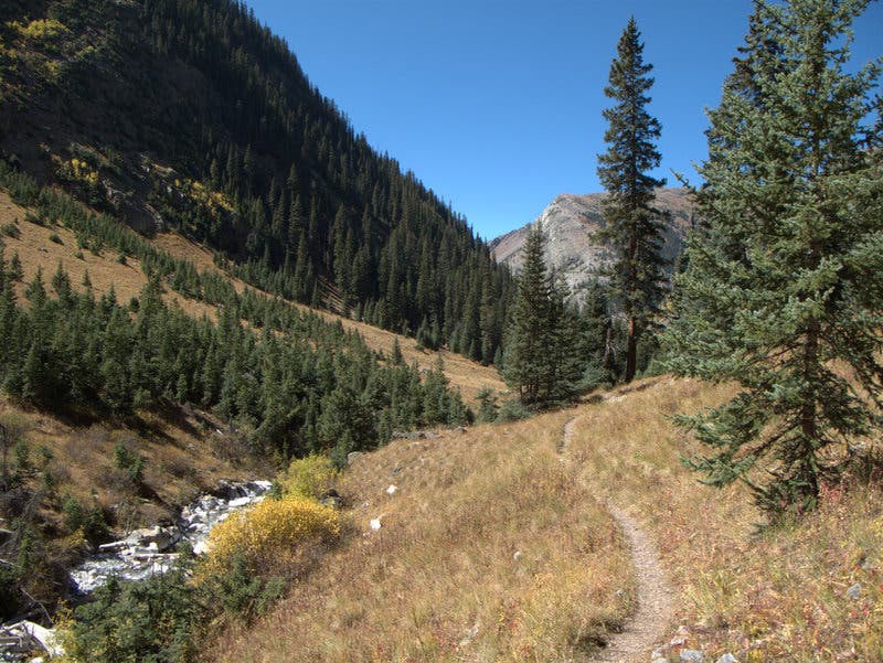
Colorado trail by Elk Creek
Location: 37.7213, -107.568767
Aspen aglow in fall colors
Location: 37.722883, -107.599333
Vestal and Arrow Peak behind a beaver pond
Location: 37.720767, -107.6076
The valley up to Wham Ridge and Vestal Peak
Location: 37.721133, -107.613367
Mountain with bald tops
Location: 37.721017, -107.623467
Wildflower
Location: 37.7216, -107.6282
Pastel hillside
Location: 37.728483, -107.654533
Dusk on Point Pun
Location: 37.729067, -107.655133
The Durango-Silverton narrow nauge tracks
Location: 37.732133, -107.659583
The Grenadier Range
Location: 37.733133, -107.66055
Animas River Valley in the fall
Location: 37.736117, -107.66305
The train and smoke roll through the valley
Location: 37.740856, -107.677689
Gold fills the lower elevations
Location: 37.739363, -107.684212
Trail sign to Molas Lake
Location: 37.743841, -107.686516
Family fishing at Little Molas Lake
Location: 37.743028, -107.710176
Two hillside ponds
Location: 37.761317, -107.741697
As the trail begins to follow the contour to the right, look down at two small ponds.
Trail rolls past multi-colored bushes
Location: 37.765117, -107.744079
Gold fall ferns cover the floor
Location: 37.762132, -107.760258
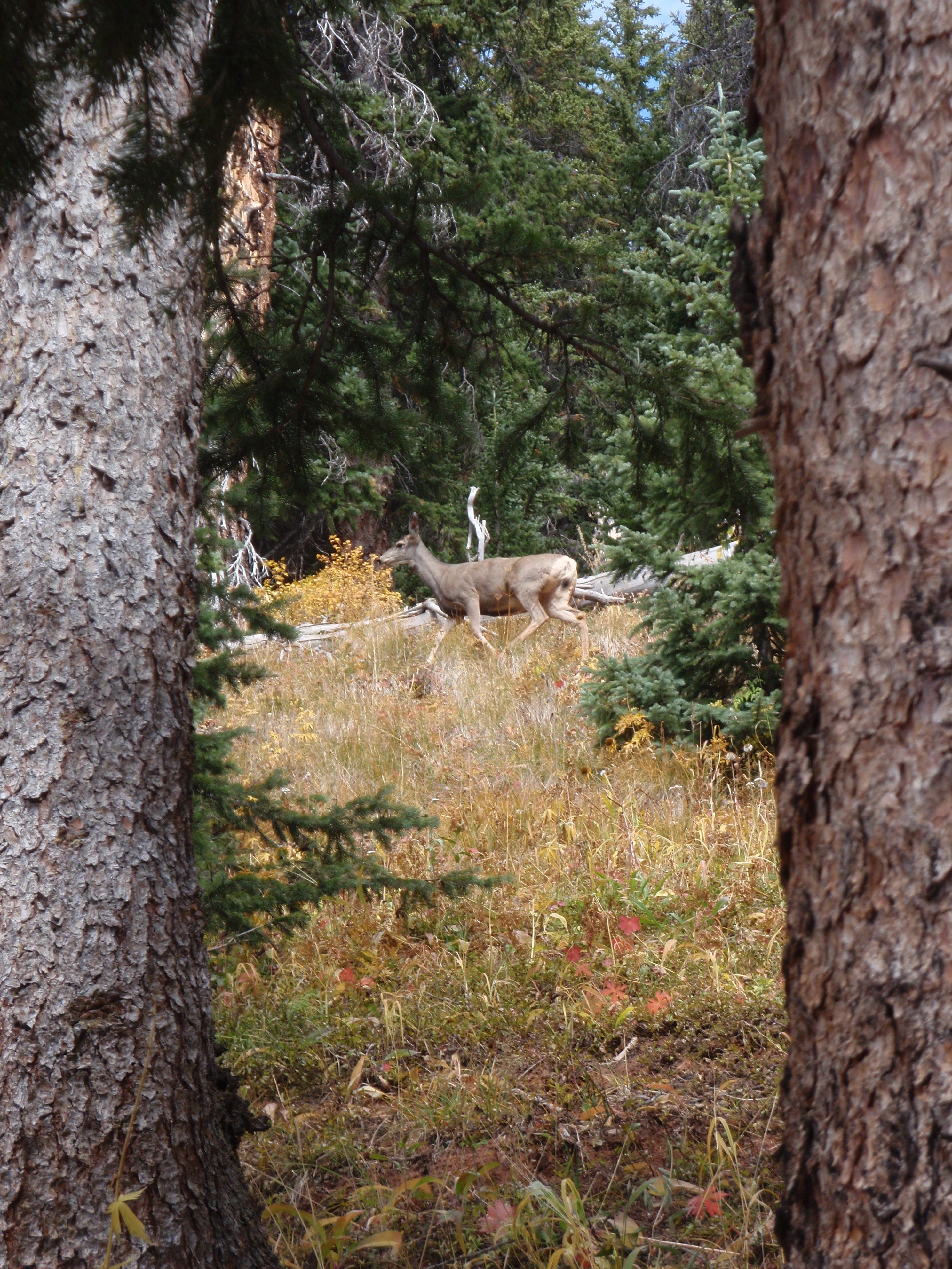
Whitetail deer
Location: 37.76583, -107.76485
Cliffs line the hill tops
Location: 37.766, -107.765817
Small stream and rock overhang
Location: 37.766, -107.765817
The trail ascending Lime Creek drainage
Location: 37.75685, -107.792383
Cairn leads the way
Location: 37.750883, -107.8119
Grizzly Peak looming behind grassy fields
Location: 37.743517, -107.8309
Trail junction sign
Location: 37.74145, -107.833117
Cliff side and talus
Location: 37.745433, -107.84615
Cascade Creek falls just off-trail
Location: 37.747162, -107.848392
Snow falls on the high peaks
Location: 37.747141, -107.848387
Cascade Creek
Location: 37.747113, -107.848379
Cascade Creek Falls
Location: 37.746333, -107.848933
Fall colors on one leaf
Location: 37.730067, -107.863033
Looking up to Sliderock Ridge
Location: 37.715317, -107.873283
Peaks in the sun
Location: 37.71485, -107.875567
Sliderock Ridge
Location: 37.71349, -107.879509
Flat fields west of Sliderock Ridge
Location: 37.714017, -107.879783
Hermosa Peak
Location: 37.7176, -107.8876