Colorado Springs: Waldo Canyon Loop


Trail Facts
- Distance: 8.6
Waypoints
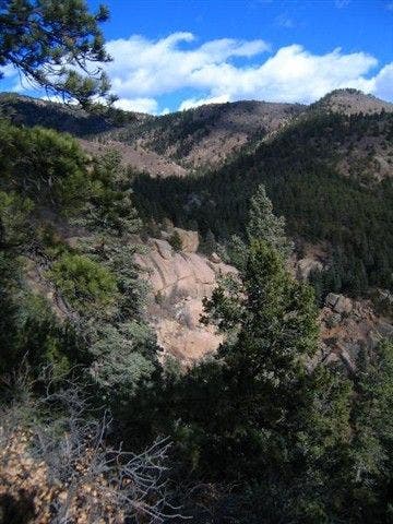
Trailside Views
Location: 38.8833122253418, -104.937973022461
©Garryck Hampton
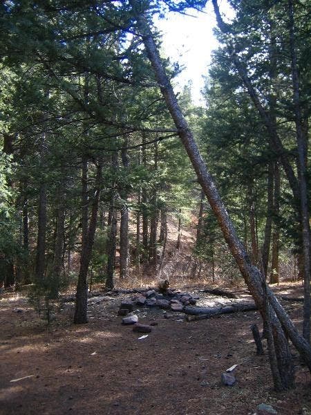
Campsite
Location: 38.8879203796387, -104.935707092285
©Garryck Hampton
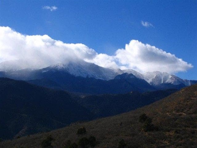
View of Pikes Peak
Location: 38.8920516967773, -104.926422119141
©Garryck Hampton
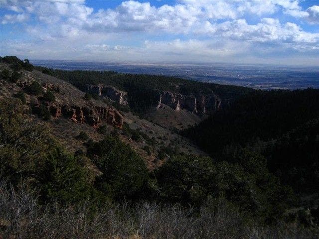
Views toward Colorado Springs
Location: 38.8904418945312, -104.927665710449
©Garryck Hampton
WCT001
Location: 38.8816719055176, -104.949501037598
Climb loose gravel trail, heading E. In .5 mi., trail crosses creeklet
WCT002
Location: 38.8833389282227, -104.938003540039
Trail follows ridge. Caution: It’s easy to get turned around on this loop. Stay off unmarked side trails, so local rescuers won’t have to play Where’s Waldo to locate you
WCT003
Location: 38.887939453125, -104.935699462891
Pass small campsite and fire ring shaded by evergreens
WCT004
Location: 38.8895797729492, -104.935401916504
Turn R @ Y; more piñon and juniper as trail switchbacks above 7,500 ft.
WCT005
Location: 38.8877716064453, -104.927001953125
Swing N; watch for mountain bikers
WCT006
Location: 38.8904609680176, -104.927696228027
Look S @ urban sprawl of Colorado Springs; red-stained cliffs
WCT007
Location: 38.8920516967773, -104.926399230957
Killer view: Puffy white clouds often drift around 14,110-ft. Pikes Peak
WCT008
Location: 38.8940887451172, -104.930297851562
Pass FS marker; hike W above Waldo Canyon
WCT009
Location: 38.8986282348633, -104.938102722168
Turn L and drop into the canyon
WCT010
Location: 38.8962097167969, -104.935203552246
Trail continues S and descends beside creek
WCT011
Location: 38.8924102783203, -104.93270111084
Continue heading SW; in .2 mi., close loop @ WPT 4, turn R, and return to trailhead