Colorado 14ers: Redcloud Peak and Sunshine Peak

-Mapped by Caitlin May
Trail Facts
- Distance: 9.3
Waypoints
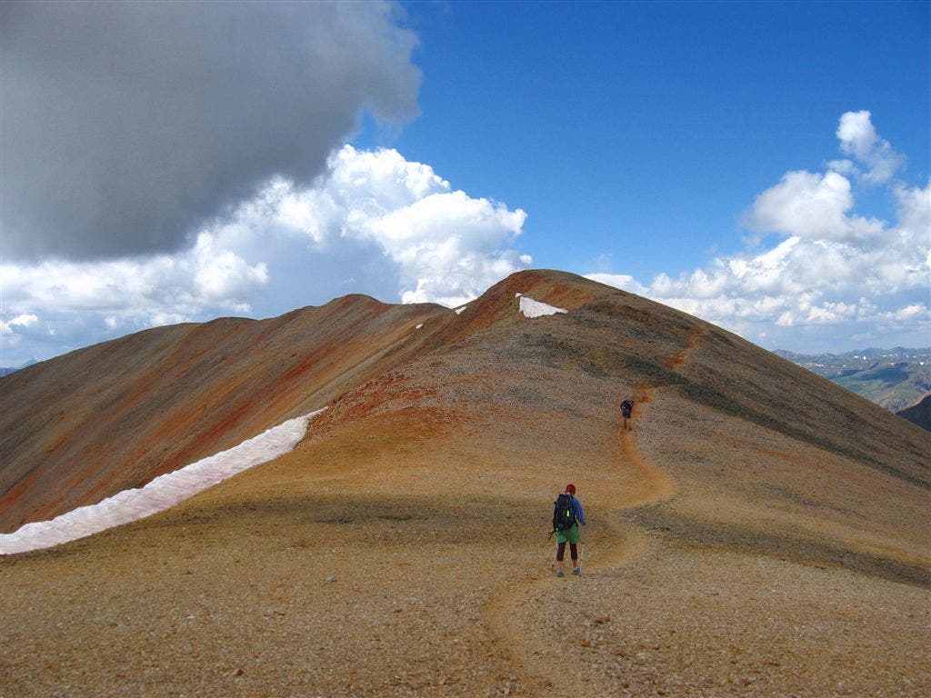
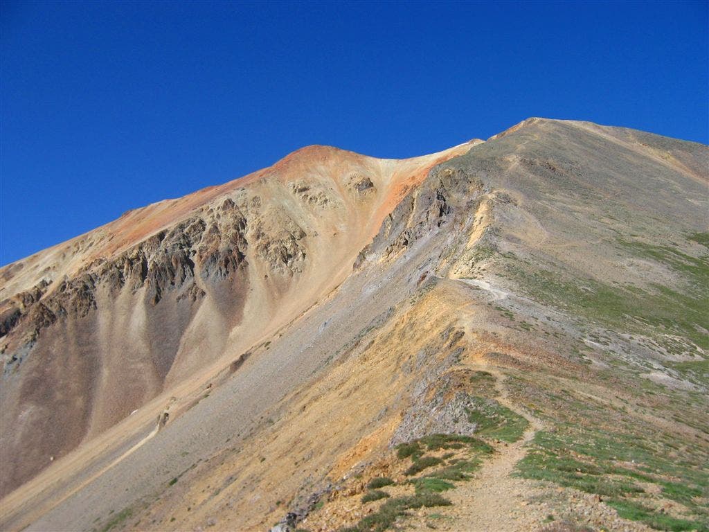
Trail to Sunshine Peak
Location: 37.9390296936035, -107.421142578125
©Caitlin May
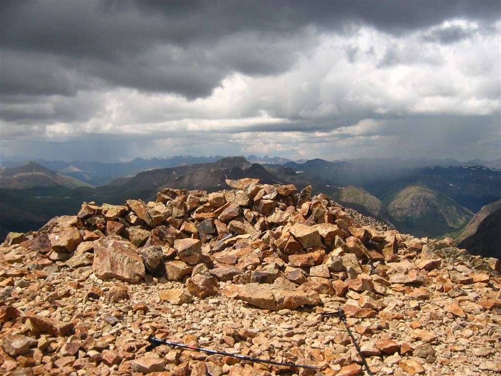
Redcloud summit
Location: 37.9227638244629, -107.425537109375
©Caitlin May
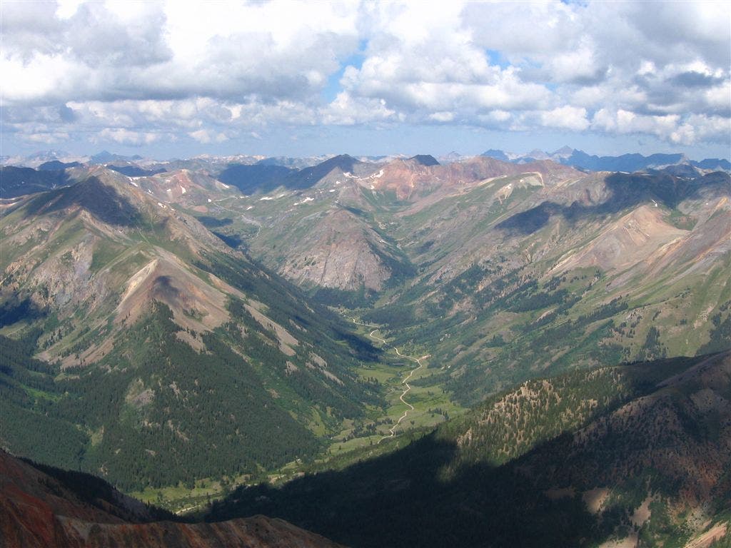
Summit views from Redcloud Peak
Location: 37.9409523010254, -107.421760559082
©Caitlin May
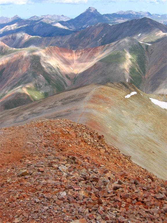
Looking north down the slopes of Redcloud Peak
Location: 37.9408836364746, -107.421760559082
©Caitlin May
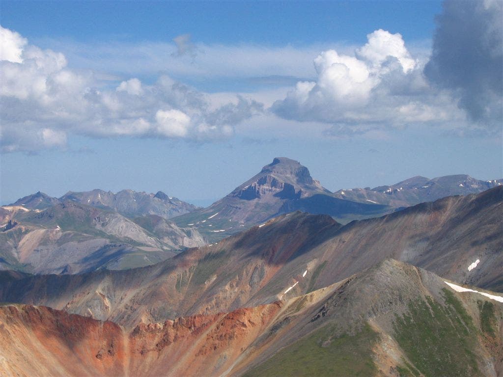
Views of Uncompahgre Peak
Location: 37.945068359375, -107.41756439209
©Caitlin May
Trail to Redcloud Peak
Location: 37.9481658935547, -107.414741516113
©Caitlin May
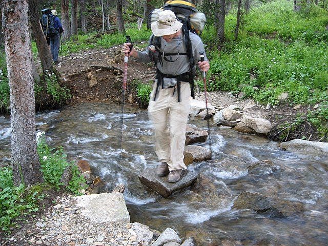
Creek crossing
Location: 37.9406929016113, -107.454475402832
©Caitlin May
SUN001
Location: 37.9370002746582, -107.46044921875
From trailhead, begin hiking NE on pine-covered trail. Sign trail register in .1 mi.
SUN002
Location: 37.9409332275391, -107.454414367676
Cross one of several crystalline creeks flowing into Silver Creek
SUN003
Location: 37.9460334777832, -107.443534851074
Morning sun illuminates the San Juans in a golden glow; turn around for awe-inspiring view of Handies Peak
SUN004
Location: 37.9483489990234, -107.440582275391
Continue along iron-stained scree trail skirting the crystalline waters of Silver Creek
SUN005
Location: 37.9509811401367, -107.434967041016
Continue past last scraggly trees lining creek valley
SUN006
Location: 37.951831817627, -107.429481506348
Pass wash on E side of trail inching toward a majestic basin ahead, cradled by Redcloud Peak on R and a knife-edged ridgeline on N edge
SUN007
Location: 37.954532623291, -107.422302246094
Continue through high alpine valley, savoring the flat traverse. If hiking mid-summer, pull out a wildflower guide to put names to the plethora of vibrant flowers in this fertile basin
SUN008
Location: 37.9530982971191, -107.41968536377
Pass small, neon green pond. Continue circumnavigating NW slope of Redcloud
SUN009
Location: 37.9508666992188, -107.416549682617
Veer L @ sign
SUN010
Location: 37.9460487365723, -107.414680480957
After several long switchbacks, arrive gasping @ viewpoint then turn R to ascend ridge edging toward peak
SUN011
Location: 37.9442329406738, -107.418601989746
First full view of cayeanne-sprinkled slopes leading to summit; gaze WNW for stellar views of Wetterhorn, Matterhorn and Uncompahgre Peaks. In .2 mi., slope eases after last switchback
SUN012
Location: 37.9425811767578, -107.422149658203
Arrive at false summit, remaining path clearly visible
SUN013
Location: 37.9409217834473, -107.421760559082
Redcloud Peak (14,034 ft.): Re-fuel and hydrate for round 2, then descend along well-trodden S ridge toward Sunshine Peak
SUN014
Location: 37.9285316467285, -107.423736572266
Reach cusp of saddle; proceed toward Sunshine navigating around small boulders and loose scree. NOTE: Though tempting, do NOT descend via W scree field here
SUN015
Location: 37.9228172302246, -107.42552947998
Sunshine Peak (14,001 ft.): Same great views surround from Colorado’s shortest 14er. Retrace steps to trailhead