Colorado 14ers: Quandary Peak

-Mapped by Andrew Matranga
Starting out
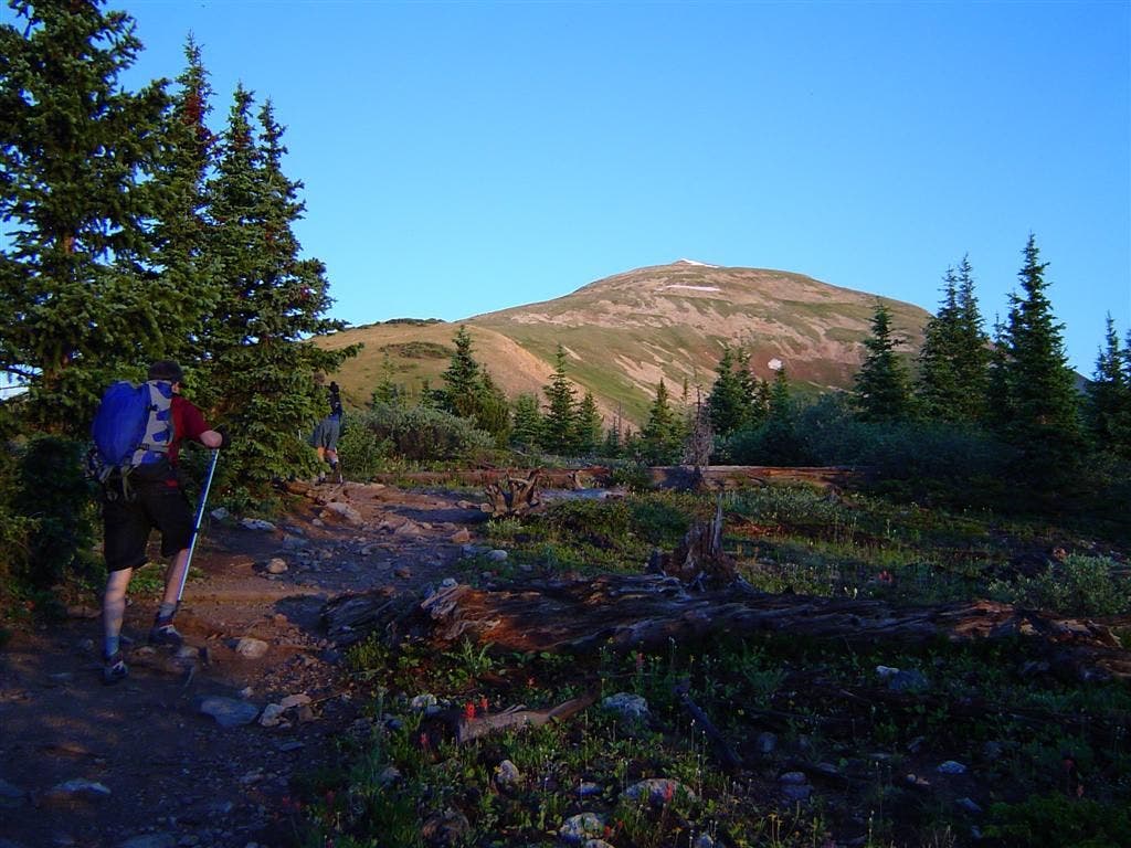
Andrew Matranga and Andy Parker begin the sustained ridgewalk up Quandary’s east slope. ©Jesse Ryan
Shadowy ridge and Quandary

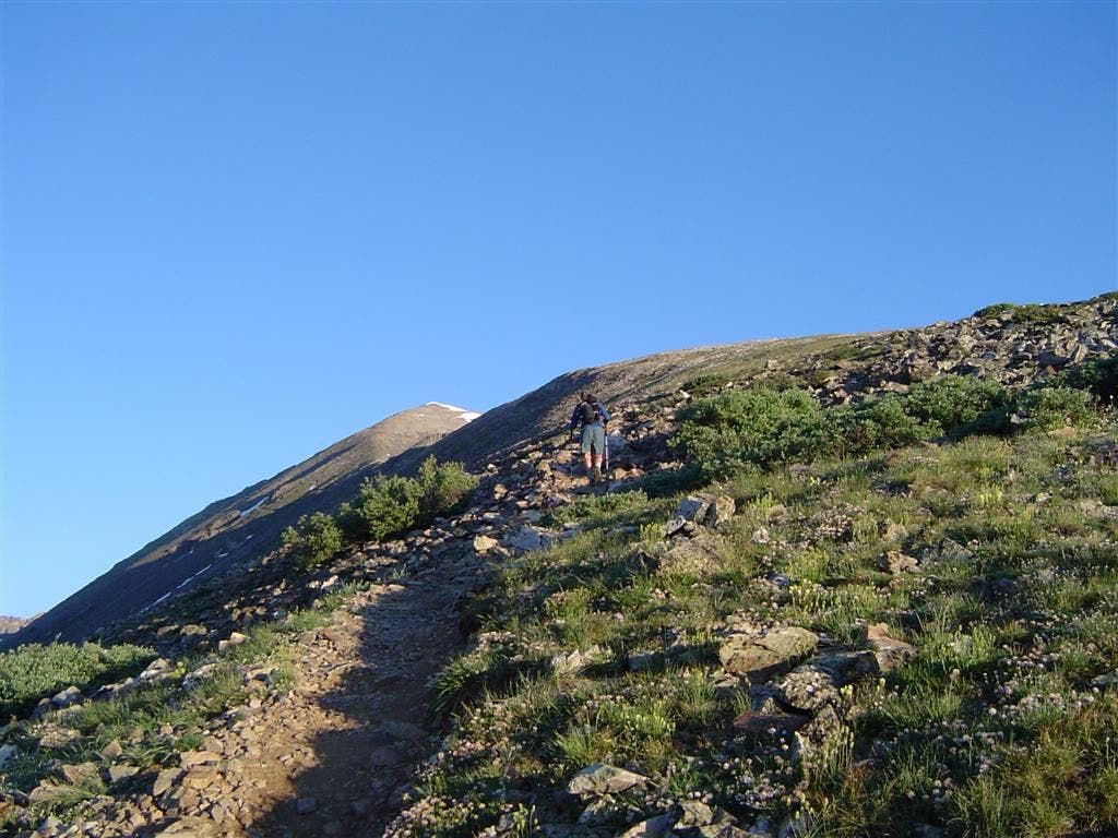
Hikers pause in the shade before the exposed, treeless section of the climb. ©Jesse Ryan
Steady ascent
This forested lake-and-creek basin on Quandary’s south slope get shady relief during the early morning. ©Jesse Ryan
Blue lakes
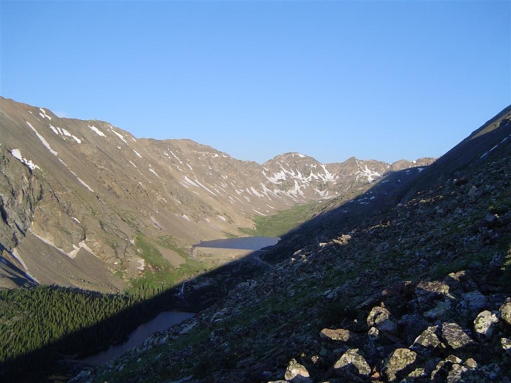
This forested lake-and-creek basin on Quandary’s south slope get shady relief during the early morning. ©Jesse Ryan
North over Summit County
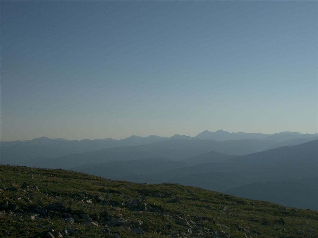
As you climb, savor sweeping vistas over the peaks and valleys of the Central Rockies. ©Jesse Ryan
Rocky Slope
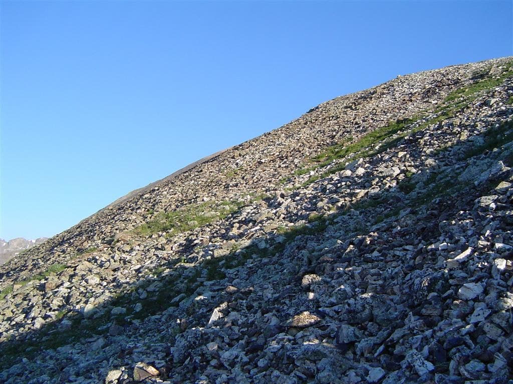
©Jesse Ryan
View across Monte Cristo Creek

Glancing south over the drainage to North Star Mountain. ©Jesse Ryan
Cairns
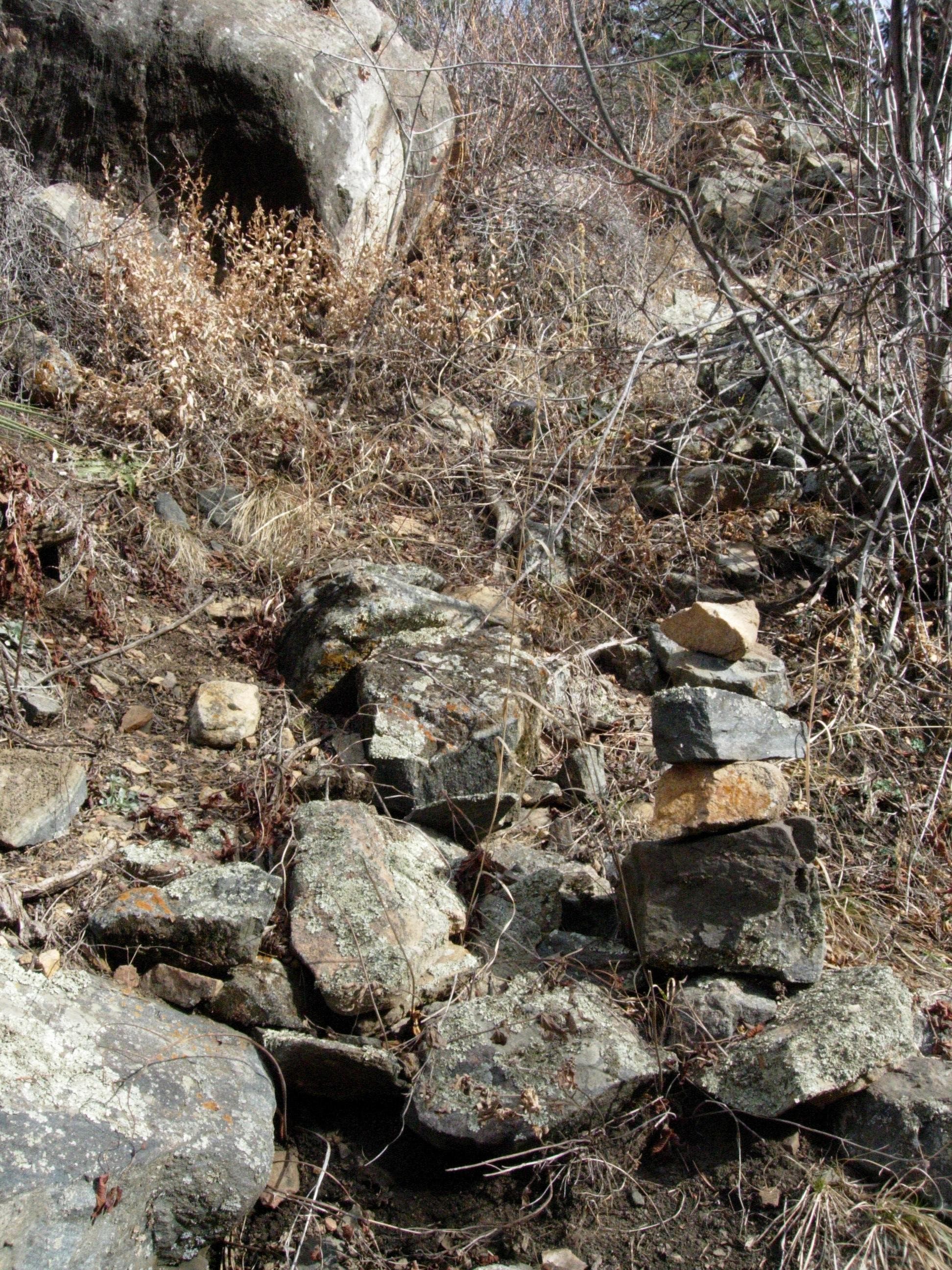
Andrew Matranga stomps through a scree field. Follow these large rock stacks to stay on course. ©Jesse Ryan
Layer time
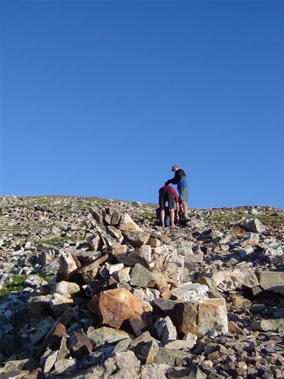
Heading to the thin air, hikers add a layer to combat swirling winds. ©Jesse Ryan
Cairn over the river

A sentinel trail marker has a perfect view over the Middle Fork South Platte River, Hoosier Ridge, and Mount Silverheels–a local 13er worth bagging. ©Jesse Ryan
False summit
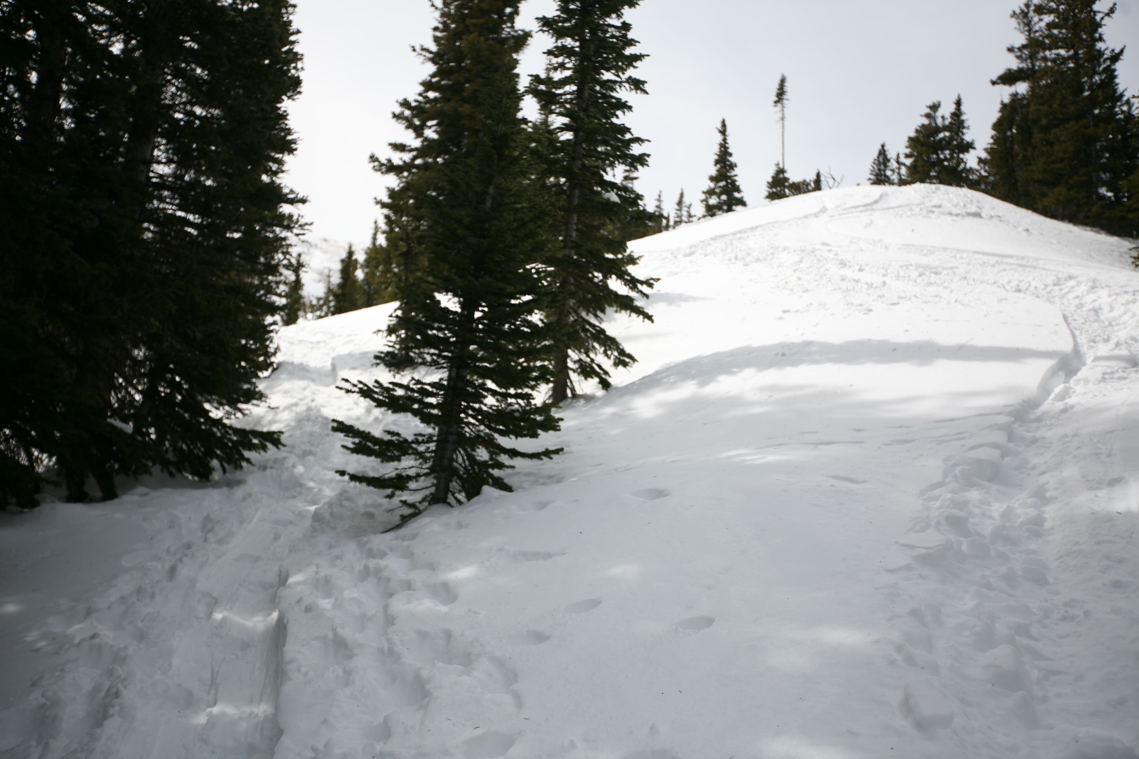
Andy Parker picks his way over the first hump on the long ascent. ©Jesse Ryan
Solitary path
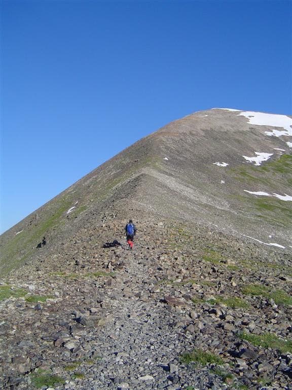
Andrew Matranga continues the slog up Quandary’s east slope. ©Jesse Ryan
Endless ridge
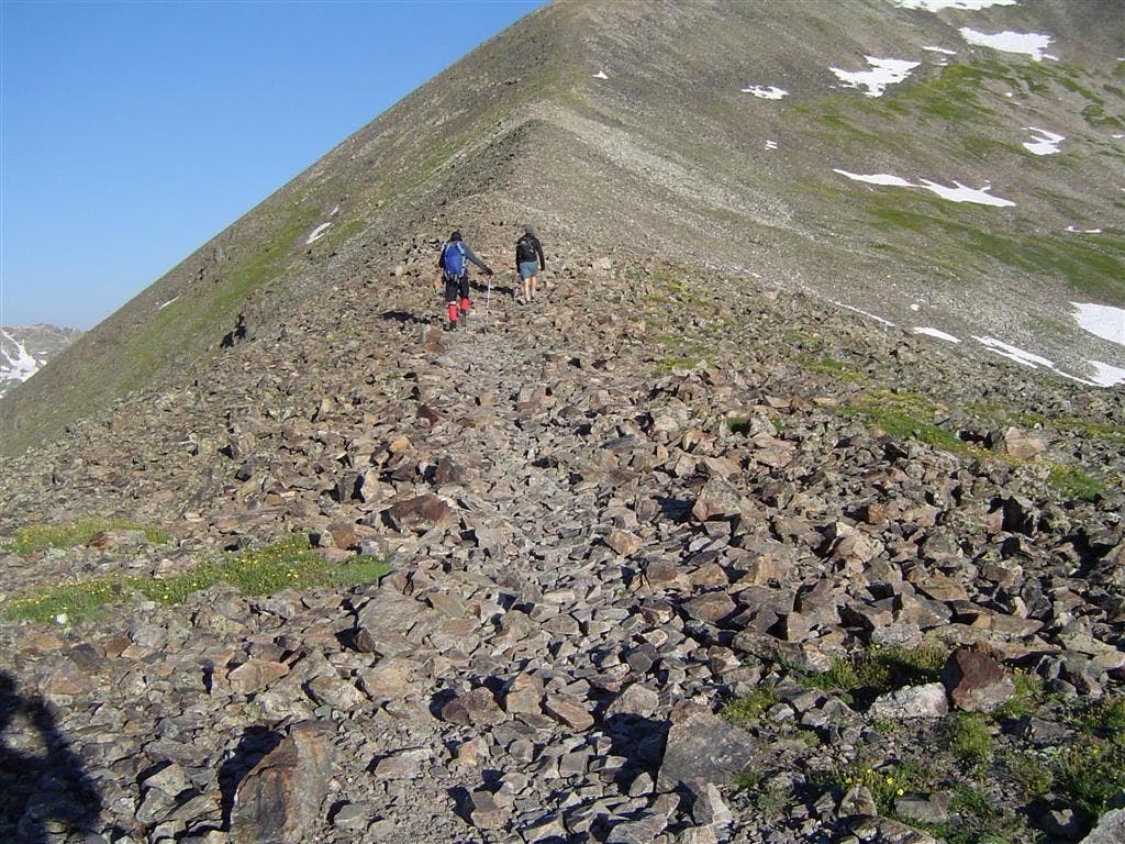
It just keeps going, and going, and going…. ©Jesse Ryan
Grass and Rock
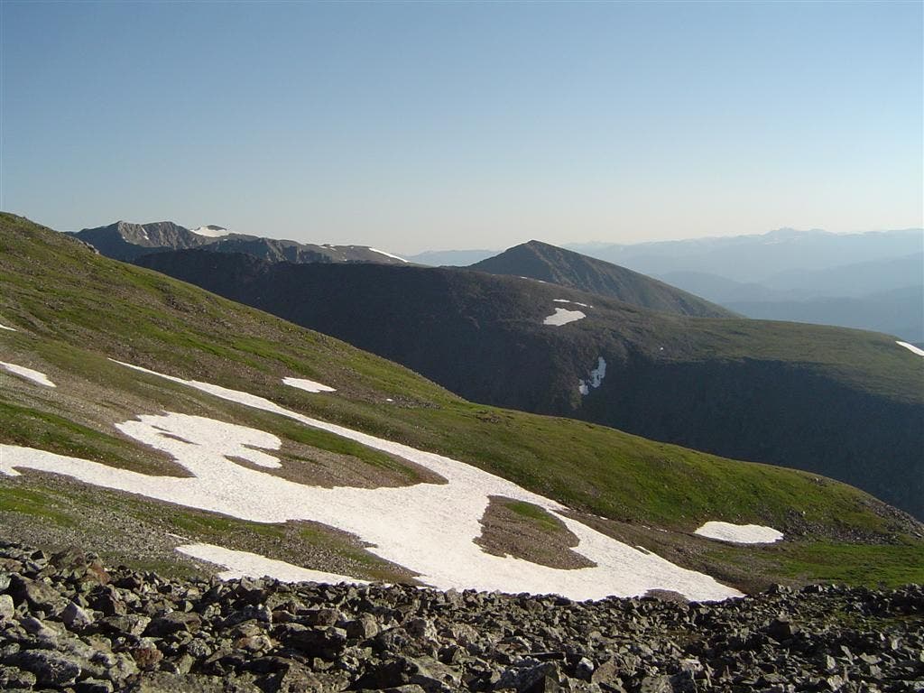
View north while climbing past lush, green hills. ©Jesse Ryan
Ascending the spine

Andrew Matranga shortens his trekking poles and picks his way through the crumbly path. ©Jesse Ryan
High Above Blue Lakes

The view east over the Monte Cristo Creek drainage and anvil-shaped Blue Lake. ©Jesse Ryan
Sunlit Slopes
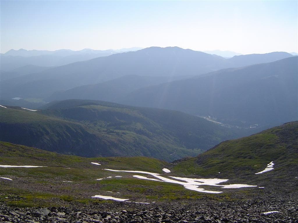
Late morning sun kisses the peak and valleys outside of Breckenridge. ©Jesse Ryan
Sky Pilots
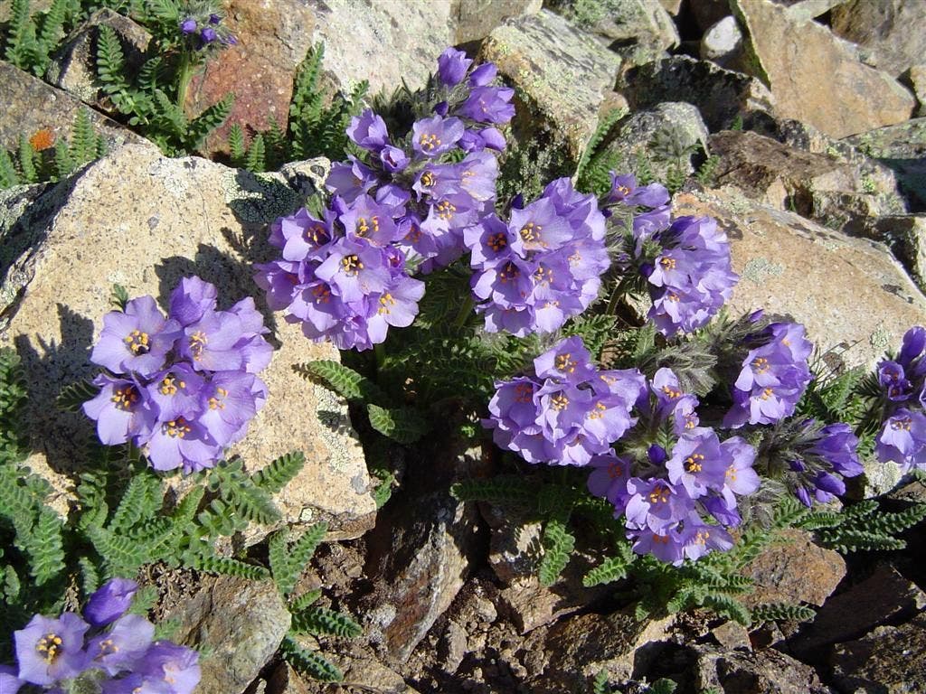
Radiant, lavender wildflowers that thrive in high-altitude conditions. ©Jesse Ryan
Steep ridges
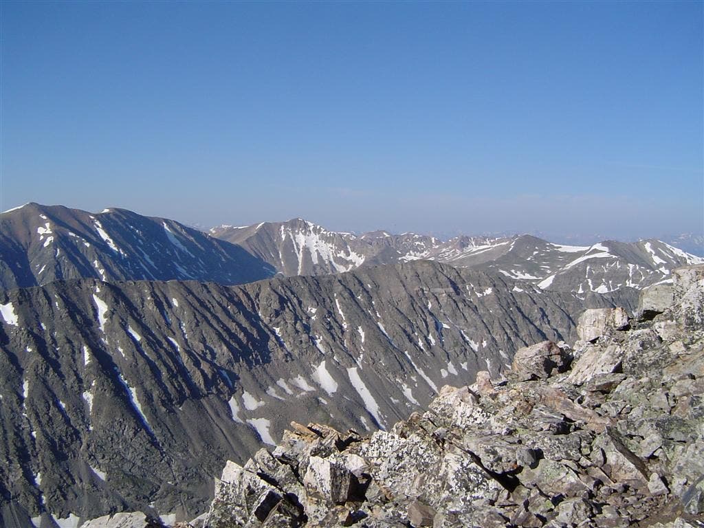
The view south to the ridgeline of North Star Mountain. ©Jesse Ryan
Final Push
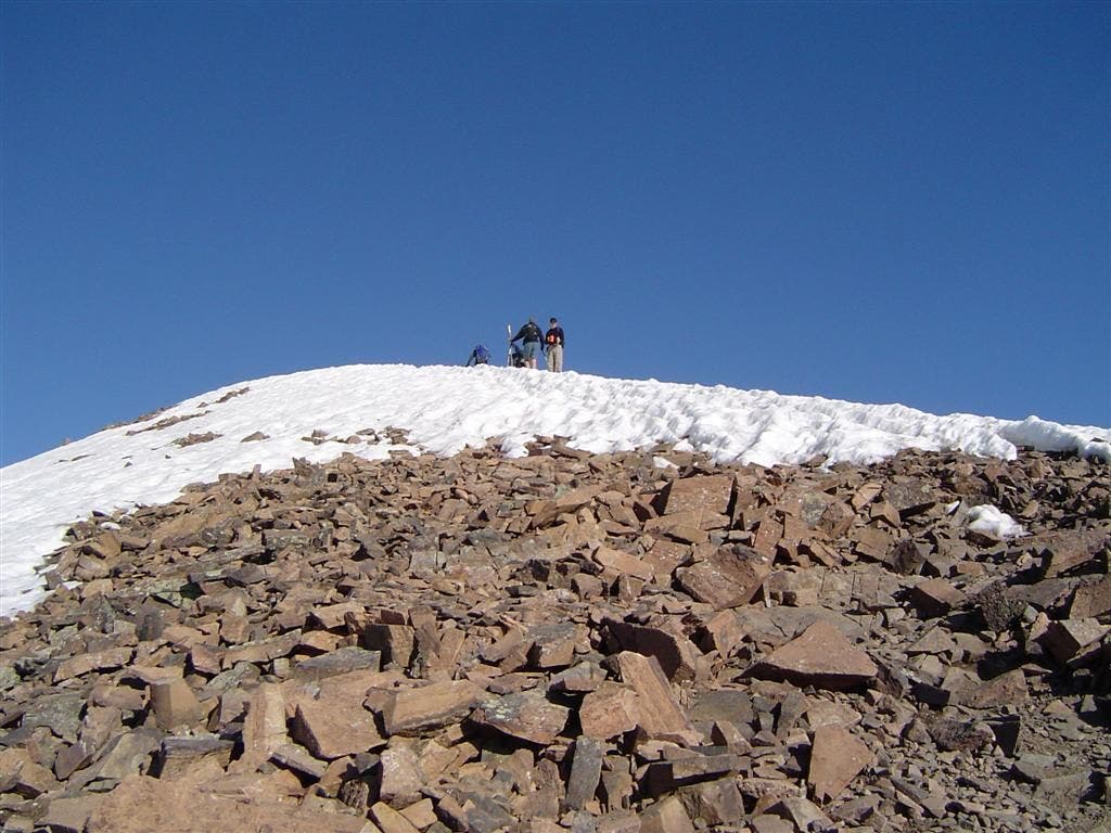
Blocky scree and snow litter the final hundred yards. ©Jesse Ryan
From the top
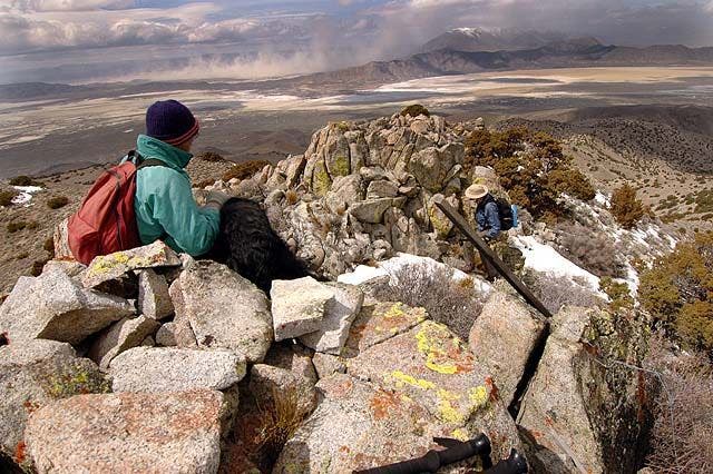
Andrew Matranga and Andy Parker soak in the full-circle panoramas on the summit. ©Jesse Ryan
Loose slopes
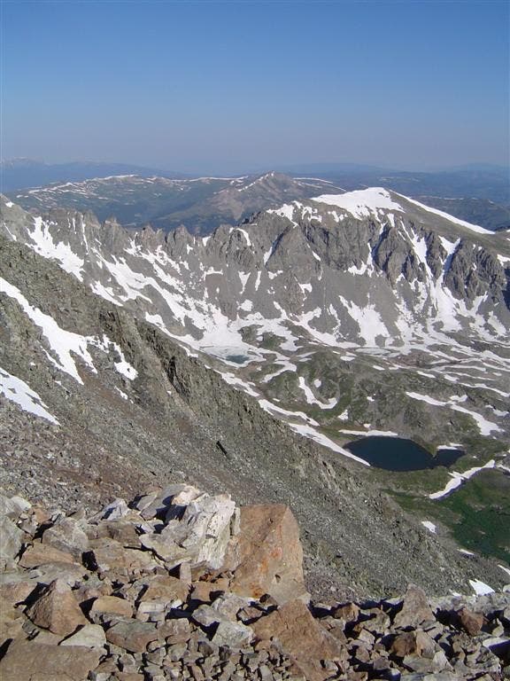
During the climb, traverse along a slim section where the views turn vertigo. ©Jesse Ryan
Cirque du Rocky

The Rocky Mountains stretch from the northern and southern boundary. From the summit, peer over the long basins to the west of the Great Divide. ©Jesse Ryan
Snowy Cirques
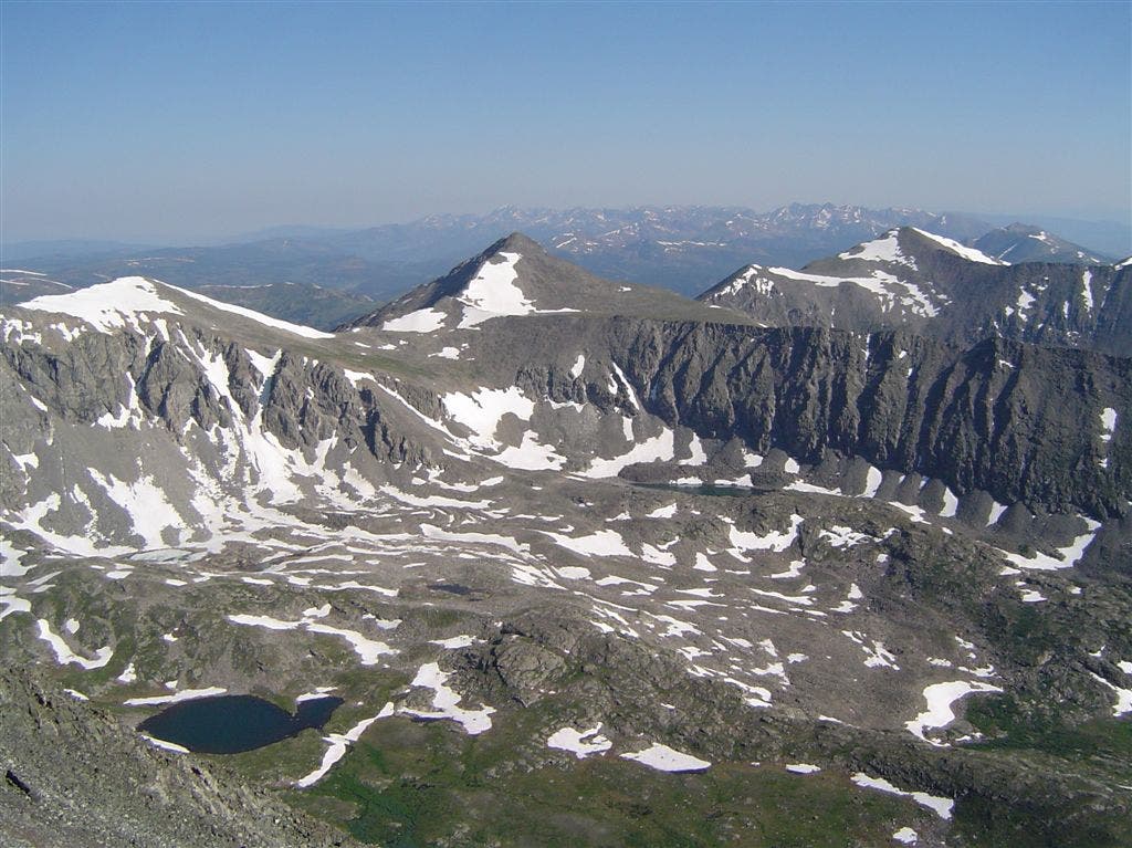
From the summit, you’ll peer straight into the broad, snowy basin above McCullough Gulch. Pacific Peak hangs in the center of the frame. ©Andrew Matranga
North over the Tenmile Range

The views nearing the summit are endless. ©Jesse Ryan
Scree-laced ridge spine

The view down Quandary’s east slop, where hikers (just tiny specks) ascend into the high-alpine
Trail Facts
- Distance: 5.0
Waypoints
Starting out
Location: 39.3869094848633, -106.062393188477
Andrew Matranga and Andy Parker begin the sustained ridgewalk up Quandary’s east slope. ©Jesse Ryan
Shadowy ridge and Quandary
Location: 39.3897895812988, -106.067222595215
Hikers pause in the shade before the exposed, treeless section of the climb. ©Jesse Ryan
Steady ascent
Location: 39.3913307189941, -106.070465087891
Andy Parker continues the climb. ©Jesse Ryan
Blue Lakes
Location: 39.3902015686035, -106.074989318848
This forested lake-and-creek basin on Quandary’s south slope get shady relief during the early morning. ©Jesse Ryan
North over Summit County
Location: 39.3916397094727, -106.078689575195
As you climb, savor sweeping vistas over the peaks and valleys of the Central Rockies. ©Jesse Ryan
Rocky Slope
Location: 39.3905601501465, -106.076736450195
©Jesse Ryan
View across Monte Cristo Creek
Location: 39.3920516967773, -106.081466674805
Glancing south over the drainage to North Star Mountain. ©Jesse Ryan
Cairns
Location: 39.3952407836914, -106.097503662109
Andrew Matranga stomps through a scree field. Follow these large rock stacks to stay on course. ©Jesse Ryan
Layer time
Location: 39.393440246582, -106.084648132324
Heading to the thin air, hikers add a layer to combat swirling winds. ©Jesse Ryan
Cairn over the river
Location: 39.3945198059082, -106.0859375
A sentinel trail marker has a perfect view over the Middle Fork South Platte River, Hoosier Ridge, and Mount Silverheels–a local 13er worth bagging. ©Jesse Ryan
False Summit
Location: 39.3951873779297, -106.092056274414
Andy Parker picks his way over the first hump on the long ascent. ©Jesse Ryan
Solitary path
Location: 39.3950347900391, -106.098022460938
Andrew Matranga continues the slog up Quandary’s east slope. ©Jesse Ryan
Endless ridge
Location: 39.3945693969727, -106.093955993652
It just keeps going, and going, and going…. ©Jesse Ryan
Grass and rock
Location: 39.3949813842773, -106.089172363281
View north while climbing past lush, green hills. ©Jesse Ryan
Ascending the spine
Location: 39.3952407836914, -106.098838806152
Andrew Matranga shortens his trekking poles and picks his way through the crumbly path. ©Jesse Ryan
High Above Blue Lakes
Location: 39.395751953125, -106.101669311523
The view east over the Monte Cristo Creek drainage and anvil-shaped Blue Lake. ©Jesse Ryan
Sunlit slopes
Location: 39.3947257995606, -106.090721130371
Late morning sun kisses the peak and valleys outside of Breckenridge. ©Jesse Ryan
Sky Pilots
Location: 39.3965759277344, -106.101821899414
Radiant, lavender wildflowers that thrive in high-altitude conditions. ©Jesse Ryan
Steep ridges
Location: 39.3962173461914, -106.101615905762
The view south to the ridgeline of North Star Mountain. ©Jesse Ryan
Final push
Location: 39.3975524902344, -106.104751586914
Blocky scree and snow litter the final hundred yards. ©Jesse Ryan
From the top
Location: 39.397346496582, -106.105628967285
Andrew Matranga and Andy Parker soak in the full-circle panoramas on the summit. ©Jesse Ryan
Loose slopes
Location: 39.3945198059082, -106.088508605957
During the climb, traverse along a slim section where the views turn vertigo. ©Jesse Ryan
Cirque du Rocky
Location: 39.397346496582, -106.105522155762
The Rocky Mountains stretch from the northern and southern boundary. From the summit, peer over the long basins to the west of the Great Divide. ©Jesse Ryans
Snowy Circques
Location: 39.3976058959961, -106.10619354248
From the summit, you’ll peer straight into the broad, snowy basin above McCullough Gulch. Pacific Peak hangs in the center of the frame. ©Andrew Matranga
North over the Tenmile Range
Location: 39.3971405029297, -106.102745056152
The views nearing the summit are endless. ©Jesse Ryan
Scree-laced ridge spine
Location: 39.3955459594727, -106.100280761719
The view down Quandary’s east slop, where hikers (just tiny specks) ascend into the high-alpine
QPK001
Location: 39.3848648071289, -106.061683654785
From the Monte Cristo trailhead, head N through thick conifer stands
QPK002
Location: 39.3853149414062, -106.061851501465
Bear R @ sign, heading N
QPK003
Location: 39.387565612793, -106.062896728516
Keep R @ Y; trail curves to the NW
QPK004
Location: 39.3882331848144, -106.064300537109
Pass a trail sign and continue moderate ascent to the NW
QPK005
Location: 39.3910484313965, -106.067718505859
Trail winds briefly to the N, then curves W; look to the S for views over the Continental Divide
QPK006
Location: 39.3908843994141, -106.073318481445
Cross short bridge where views open up along Quandary’s long E ridge
QPK007
Location: 39.3918838500977, -106.079963684082
Ascend ridge on dense scree-covered slopes
QPK008
Location: 39.3928184509277, -106.082633972168
Trail juts to the N, then swings to the W
QPK009
Location: 39.3949165344238, -106.09058380127
Reach small saddle and continue heading W toward the summit; bear down for steep grade ahead
QPK010
Location: 39.3970336914062, -106.103569030762
Follow stacked cairns to the W through littered rock piles
QPK011
Location: 39.3972816467285, -106.106300354004
Quandary Peak (14,265 ft.): Telescopic views over Blue Lakes and the Tenmile Range. Check out the deep, glacier-capped cirques below Fletcher Mtn. to the W and the toothy ridge connecting Wheeler Mtn. to the SW, where the Continental Divide curves S; retrace steps to trailhead