Colorado 14ers: Pyramid Peak

-Mapped by Lisa Heckel


Trail Facts
- Distance: 6.0
Waypoints
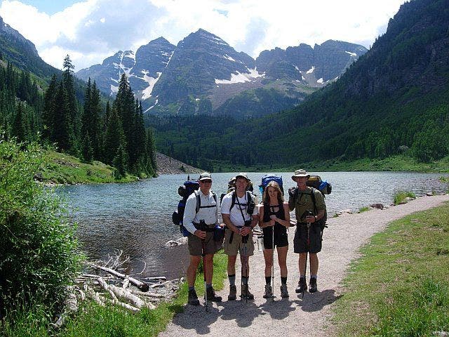
Maroon Lake Trailhead
Location: 39.0982627868652, -106.942169189453
©Lisa Heckel
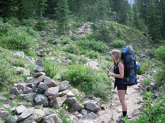
Heading southwest on the trail
Location: 39.0922431945801, -106.956657409668
©Lisa Heckel
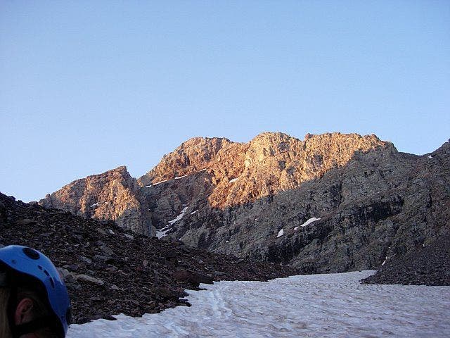
Ascending the snowfield
Location: 39.0839233398438, -106.953498840332
©Lisa Heckel
Pyramid Peak summit
Location: 39.0717277526856, -106.950180053711
©Lisa Heckel
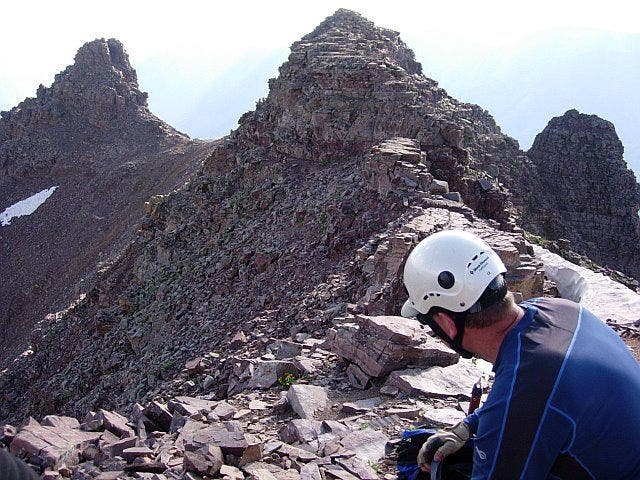
Narrow, rocky ridge
Location: 39.0744323730469, -106.946304321289
©Lisa Heckel
PMD001
Location: 39.0982131958008, -106.942115783691
Head W from Maroon Lake trailhead; pass Maroon Lake on L; the pyramid-shaped Maroon Bells provide a dramatic backdrop
PMD002
Location: 39.0969734191894, -106.94775390625
Cross stream and begin steady SW climb toward Crater Lake
PMD003
Location: 39.0927810668945, -106.956321716309
Look to the S for first views of Pyramid Peak from the trail
PMD004
Location: 39.0901489257812, -106.960266113281
Turn L @ jct. marked with a cairn; head SE on climber’s trail toward boulder field
PMD005
Location: 39.0861015319824, -106.956298828125
Begin steep ascent towards a large bowl called “the amphitheatre”
PMD006
Location: 39.0860481262207, -106.95378112793
Head S; maneuver through a boulder field near tree line
PMD007
Location: 39.0849990844727, -106.953598022461
First views of Pyramid Peak’s N face; continue S into the amphitheatre and follow snowfield
PMD008
Location: 39.0778503417969, -106.953018188477
Bear L toward a steep, scree gully that leads to the saddle. Leave snowfield and traverse boulder field
PMD009
Location: 39.0770988464356, -106.950065612793
Climb to the SE on steep scree field; a couloir straight ahead marks the way
PMD010
Location: 39.0764923095703, -106.947189331055
Continue heading SE into another gully that ascends to Pyramid Peak’s NE ridge
PMD011
Location: 39.0756988525391, -106.945083618164
Turn R, heading SW on exposed ridgeline overlooking scree-filled gullies
PMD012
Location: 39.0745506286621, -106.946380615234
Traverse rocky ridge, staying high
PMD013
Location: 39.0735511779785, -106.947463989258
Traverse narrow ledge, then cross a large gully; head S towards greenish rock gully
PMD014
Location: 39.0730514526367, -106.948280334473
Leave green gully and veer L, heading S; follow cairns that dot the ridgeline to tackle Pyramid’s rocky summit
PMD015
Location: 39.0717277526856, -106.950180053711
Pyramid Peak summit (14,018 ft.): Striking, sky-high views of the rugged Elk Range; the pointed peaks of the Maroon Bells create a jagged W skyline