Colorado 14ers: Pikes Peak

-Mapped by Scott Gates
©Erin Sovick and ©Scott Gates
Trail Facts
- Distance: 9.5
Waypoints
Top of First Climb
Location: 38.8645515441894, -105.078842163086
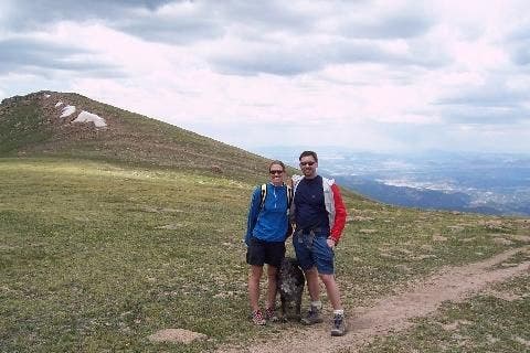
The trail flattens out for a bit before climbing to the summit from Devils Playground ©Erin Sovick
View north
Location: 38.8657531738281, -105.075744628906
A wide, flat spot with views north makes for a good place to rest before the last leg. ©Erin Sovick
View from gate
Location: 38.8629493713379, -105.07103729248
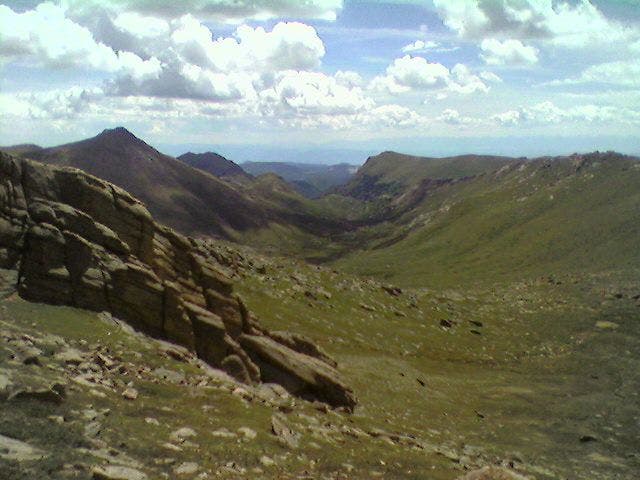
South of the gate, a wide alpine valley stretches for miles. ©Scott Gates
Stone Gate
Location: 38.8629493713379, -105.070938110352
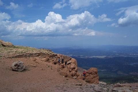
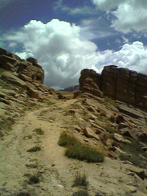
The wide trail passes through an opening in a rock wall as it winds around to Devils Playground. ©Scott Gates
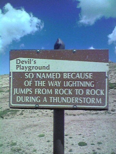
Devils Playground
Location: 38.8641510009766, -105.067832946777
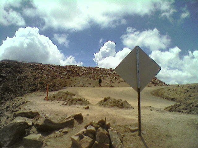
The sign says it all — don’t get caught up here in a storm. The only safe spot is down. ©Scott Gates
Devils Parking Lot
Location: 38.8641510009766, -105.0693359375
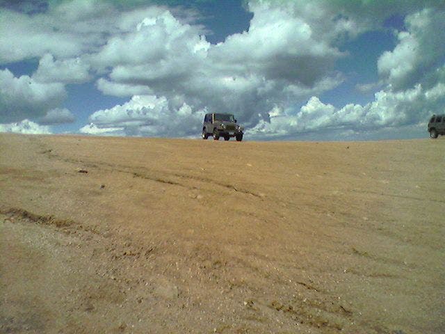
There’s plenty of room for traffic at the Devils Playground parking area. ©Scott Gates
Along the road
Location: 38.8593444824219, -105.067527770996
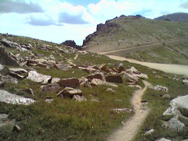
The trail often winds along the summit road once above treeline. ©Scott Gates
Boulder field
Location: 38.8546371459961, -105.062324523926
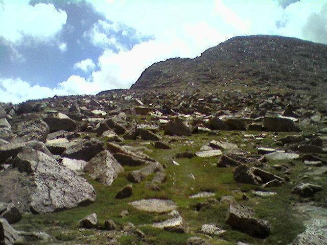
The trail dissipates in spots, requiring a bit of cairn navigation through rocky tundra. ©Scott Gates
Cairn walk
Location: 38.8456268310547, -105.049705505371
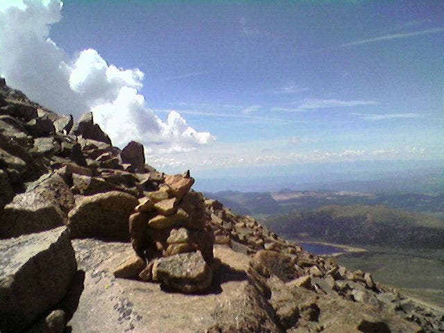
A cairn marks the path up the rocky slope to the summit. ©Scott Gates
Back to the road
Location: 38.8420219421387, -105.046203613281
Just before the summit, the trail meets up with the road once more. Continue L to bag the peak (flat Summit House can be seen on far left). ©Scott Gates
Summit visitors
Location: 38.8413200378418, -105.044502258301
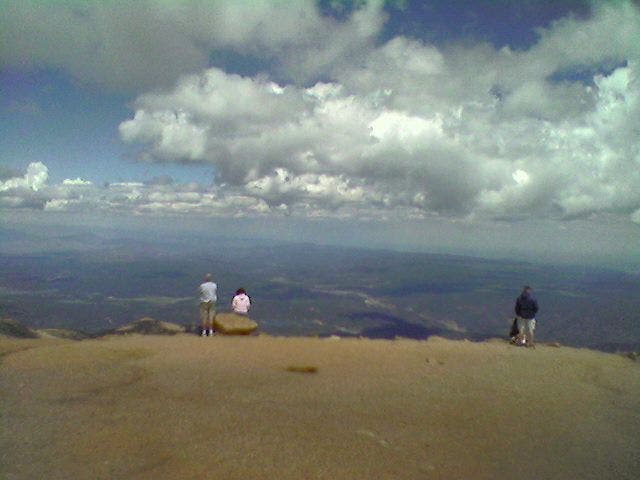
The wide, flat summit is crowded during the summer, with access via road, trail and cog railway. ©Scott Gates
Much fanfare
Location: 38.8408203125, -105.044502258301
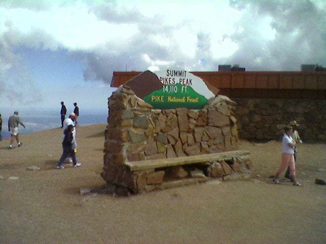
The summit is marked by a photogenic sign, restaurant, cog railway stop and gift shop, among other scattered buildings. ©Scott Gates
PPT001
Location: 38.8713684082031, -105.119697570801
From trailhead @ end of parking loop, head E through spruce and aspen
PPT002
Location: 38.8717002868652, -105.116897583008
Turn R @ T for downhill stretch to Fourmile Creek. Cross log bridge, then ascend rock-flanked trail; steady climb to WPT 6
PPT003
Location: 38.8693389892578, -105.110702514648
Turn L @ Y around rocky wash. Over next .3 mi., high-jutting crags can be seen to the N through trees
PPT004
Location: 38.8684692382812, -105.099098205566
Double track begins through small meadow strewn with patches of columbine in summer; wide views of valley opens up behind (to W)
PPT005
Location: 38.8668594360352, -105.090202331543
Break above treeline on well-marked trail; apply sunscreen and keep an eye out for developing storms
PPT006
Location: 38.865306854248, -105.075981140137
Trail levels out and widens with views N to Catamount Reservoirs. Summit road visible below as smell of grill wafts from Summit House. Follow trail SE through rock gate to Devils Playground
PPT007
Location: 38.8638801574707, -105.067993164062
Cross paved road and pick up trail on far side of roadside cable. Trail stays to L of road from here to summit. Note: Hiking on road is prohibited
PPT008
Location: 38.8533897399902, -105.06095123291
Trail dissipates; follow scattered cairns to L of rocky mound, much to the protest of whistling marmots
PPT009
Location: 38.8433456420898, -105.0478515625
Begin scramble up granite rock field along well-established trail; catch views N to Denver on clear day (look for gray smudge on the horizon)
PPT010
Location: 38.8407211303711, -105.04460144043
Pikes Peak (14,110 ft.): Trail connects with parking area. Explore busy summit, which is accessible by trail, train and road; retrace steps