Updated October 24, 2024 12:04PM
Colorado 14ers: Mount Elbert
This 11.6-mile route wanders through a lovely forest, climbs wind-swept slopes and ends with top-of-the-world vistas on Colorado's tallest peak.
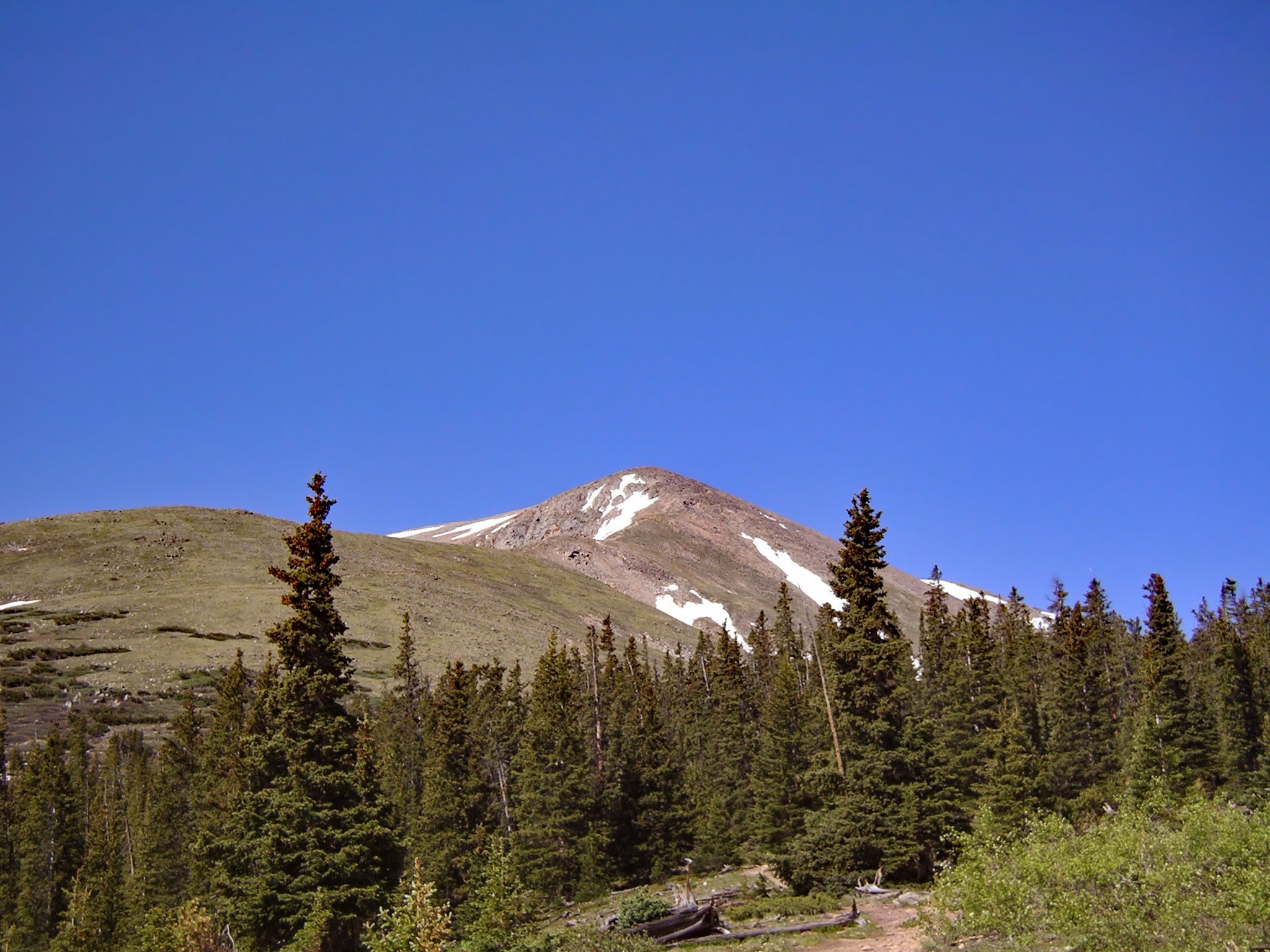
Mount Elbert beckons just beyond treeline. (Photo: James Dziezynski)
-Mapped by Timm Paxson
Trail Facts
- Distance: 9.3
Waypoints
ELB001
Location: 39.0995330810547, -106.367256164551
From the South Mt. Elbert trailhead, head W on 4WD road for 1.8 mi. to upper 4WD parking area
ELB002
Location: 39.1042213439941, -106.394500732422
From the upper 4WD parking area, follow the Colorado Trail to the N; cross creek on foot bridge
ELB003
Location: 39.1060180664062, -106.394973754883
Stay L @ Y; continue N
ELB004
Location: 39.1094207763672, -106.393898010254
Turn L @ T; leave the Colorado Trail and follow the Mt. Elbert Trail to the W; trail weaves through sun-dappled aspen forest
ELB005
Location: 39.1094207763672, -106.400199890137
Wind to the NW through conifer forests dotted with meadows
ELB006
Location: 39.1177406311035, -106.413200378418
Climb past treeline on dirt trail winding up grassy slopes; continue NW ascent to Elbert’s E ridge
ELB007
Location: 39.1207084655762, -106.41919708252
Summit the crest of the E ridge; follow trail to the W
ELB008
Location: 39.1211395263672, -106.423698425293
ADVERTISEMENT
Continue ridge climb; boulder-spotted trail curves to the SW
ELB009
Location: 39.1191101074219, -106.431602478027
Continue SW; follow the cairns
ELB010
Location: 39.1179084777832, -106.437599182129
Talus-covered trail drops to the SW, then cuts W
ELB011
Location: 39.1158027648926, -106.443817138672
Trail juts to the N toward the summit; prepare for switchback climb up Elbert’s SE slopes
ELB012
Location: 39.1176910400391, -106.44539642334
Mt. Elbert (14,433 ft.): Collect views from the tallest peak in the U.S. Rocky Mountains; Mt. Massive rises above San Isabel National Forest to the N; Twin Lake Reservoir stretches out to the SE. Retrace route
Visit our partner site Outside Online read more about hiking Mount Elbert.