Colorado 14ers: Mount Democrat, Mount Lincoln and Mount Bross

Editor’s Note:
As of June 1, 2009, the Kite Lake trailhead is open again, giving hikers access to Mounts Lincoln and Democrat (and Mt. Cameron, an unoffical 14er). Landowners near Bross have not yet reached a settlement with officials, so trails to that peak remain closed. Please abide the private property signs.
-Mapped by Wasim Manasfi and Ron Wilkinson
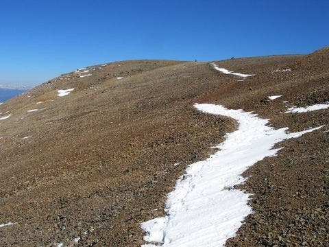
Arriving at Mount Cameron
©Wasim Manasfi & Ron Wilkinson
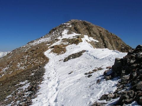
Arriving at Mount Lincoln
©Wasim Manasfi & Ron Wilkinson
Trail to Democrat’s saddle
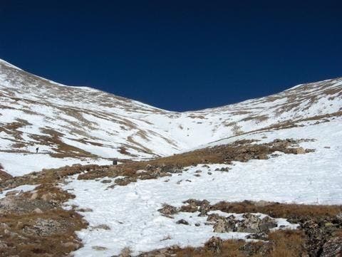
Views of the climb to the Democrat-Cameron saddle from Kite Lake ©Wasim Manasfi & Ron Wilkinson
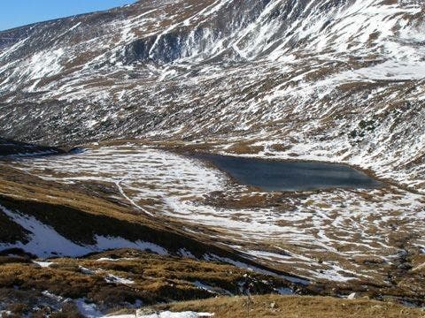
Looking back at Kite Lake
©Wasim Manasfi & Ron Wilkinson
Mine at saddle of Mount Democrat
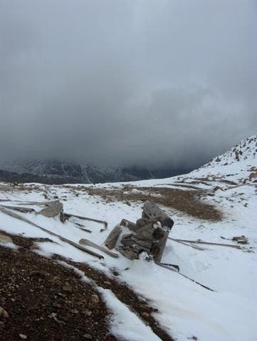
©Wasim Manasfi & Ron Wilkinson
Mining history
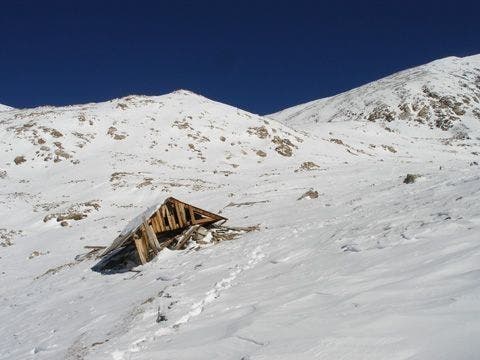
©Wasim Manasfi & Ron Wilkinson
Mount Bross from the top of Mount Cameron
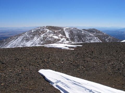
©Wasim Manasfi & Ron Wilkinson
Mount Bross from Mount Lincoln’s summit
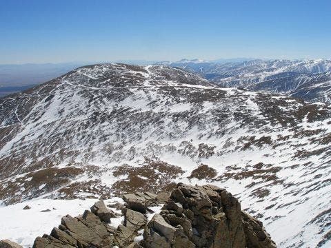
©Wasim Manasfi & Ron Wilkinson
Mount Bross from Mount Lincoln’s summit

©Wasim Manasfi & Ron Wilkinson
Views of Mount Bross from the trail
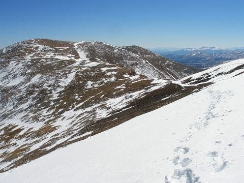
©Wasim Manasfi & Ron Wilkinson
Mount Cameron and Mount Democrat from Mount Lincoln
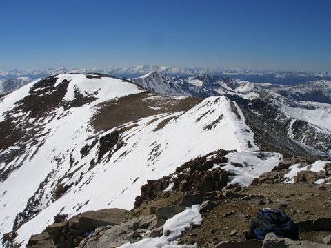
©Wasim Manasfi & Ron Wilkinson
Mount Democrat
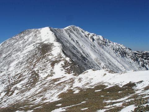
©Wasim Manasfi & Ron Wilkinson
Mount Democrat from slopes of Mount Bross
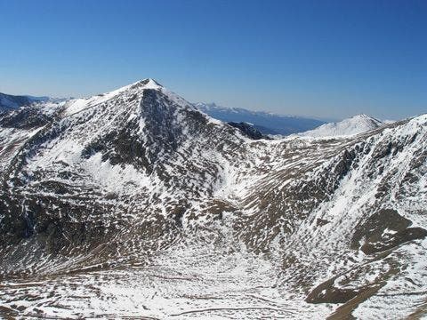
©Wasim Manasfi & Ron Wilkinson
Kite Lake
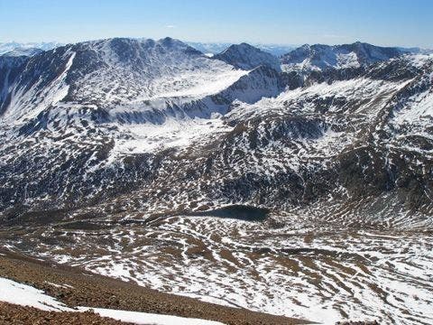
©Wasim Manasfi & Ron Wilkinson
Summit of Mount Democrat
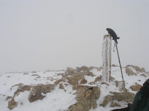
©Wasim Manasfi & Ron Wilkinson
Trail from Kite Lake

©Wasim Manasfi & Ron Wilkinson
Trail Facts
- Distance: 11.1
Waypoints
Arriving at Mount Cameron
Location: 39.3466187, -106.1197281
©Wasim Manasfi & Ron Wilkinson
Arriving at Mount Lincoln
Location: 39.3513641, -106.1130524
©Wasim Manasfi & Ron Wilkinson
Trail to Democrat’s saddle
Location: 39.333065, -106.1281586
Views of the climb to the Democrat-Cameron saddle from Kite Lake
©Wasim Manasfi & Ron Wilkinson
Looking back at Kite Lake
Location: 39.3364525, -106.1266098
©Wasim Manasfi and Ron Wilkinson
Mine at saddle of Mount Democrat
Location: 39.3413429, -106.1324615
©Wasim Manasfi & Ron Wilkinson
Mining history
Location: 39.3354378, -106.1272812
©Wasim Manasfi & Ron Wilkinson
Mount Bross from the top of Mount Cameron
Location: 39.3472481, -106.1186676
©Wasim Manasfi & Ron Wilkinson
Mount Bross from Mount Lincoln’s summit
Location: 39.3514137, -106.1116486
©Wasim Manasfi & Ron Wilkinson
Mount Bross from slopes of Mount Democrat
Location: 39.3394547, -106.1376419
©Wasim Manasfi & Ron Wilkinson
Views of Mount Bross from the trail
Location: 39.3505898, -106.1149902
©Wasim Manasfi & Ron Wilkinson
Mount Cameron and Mount Democrat from Mount Lincoln
Location: 39.3515587, -106.1117935
©Wasim Manasfi & Ron Wilkinson
Mount Democrat
Location: 39.3409538, -106.1314011
©Wasim Manasfi & Ron Wilkinson
Mount Democrat from slopes of Mount Bross
Location: 39.3368416, -106.1089325
©Wasim Manasfi & Ron Wilkinson
Kite Lake
Location: 39.3335953, -106.1114502
Descending Mount Bross toward Kite Lake.
©Wasim Manasfi & Ron Wilkinson
Summit of Mount Democrat
Location: 39.3397446, -106.1401138
©Wasim Manasfi & Ron Wilkinson
Trail from Kite Lake
Location: 39.3295784, -106.1283493
Trail to Democrat from Kite Lake. Mount Democrat is on the left.
©Wasim Manasfi & Ron Wilkinson
DLB001
Location: 39.3277016, -106.1296005
From trailhead, head N toward Democrat-Cameron saddle toward Kite Lake
DLB002
Location: 39.3282776, -106.1289368
Stay straight @ T; trail leading to Mt. Bross enters from the R; continue N to skirt the lake’s E banks
DLB003
Location: 39.329628, -106.1283493
Pass Kite Lake on L; begin N ascent to saddle. Mt. Democrat dominates views to NW
DLB004
Location: 39.3344383, -106.1277008
Pass the remnants of an old cabin; continue climb up slopes pockmarked with prospecting holes and mines
DLB005
Location: 39.3354797, -106.1271973
Pass the ruins of another cabin
DLB006
Location: 39.3369789, -106.1260986
Stay straight through grassy area; remain on trail to prevent erosion of slopes to the L
DLB007
Location: 39.3386497, -106.1285019
Continue switchback climb to saddle
DLB008
Location: 39.3416595, -106.1322021
Turn L on saddle; head SW on Democrat’s E ridge; pass more mining ruins
DLB009
Location: 39.3393707, -106.135498
Final .3-mi. summit push up rocky slopes to Mt. Democrat
DLB010
Location: 39.3396111, -106.1400986
Mt. Democrat (14,148 ft.): Barren summit offers intimate views of the Mosquito Range. Kite Lake and Lake Emma are nestled at the foot of Democrat’s S slopes. Retrace steps to WPT 8; continue straight on ridgeline to summit Mt. Cameron (an unranked 14er) and Mt. Lincoln
DLB011
Location: 39.3449211, -106.1241989
Continue NE on ridgeline to Mt. Cameron
DLB012
Location: 39.3472099, -106.1186981
Mt. Cameron: Take a breather on this gentle 14,238-ft. summit between Democrat and Lincoln (not an official 14er because its summit does not drop 300 ft. below the others). Continue heading NE toward Lincoln’s peak
DLB013
Location: 39.3501968, -106.1158981
Continue straight @ 3-way on well-trodden trail
DLB014
Location: 39.3514404, -106.1116028
Mt. Lincoln (14,286 ft.): Relish the sights from the tallest peak in the Tenmile-Mosquito Range. Look to the S and SW for views of neighboring 14ers. Retrace steps to WPT 13, then bear L @ Y to tackle Mt. Bross, the final ascent of the day
DLB015
Location: 39.3434258, -106.11689
Update June, 1 2009: Trail remains closed to Bross. Take connector trail, bypassing the peak and private land, back down to Kite Lake.
((old route info to Bross below))
Follow saddle to the SE to reach Bross’ round summit
DLB016
Location: 39.3354683, -106.1076965
Mt. Bross (14,172 ft.): Relax on broad summit before beginning descent of Bross’ W slopes to complete loop @ Kite Lake
DLB017
Location: 39.3331184, -106.1128998
Descend ridgeline, heading SW
DLB018
Location: 39.3309402, -106.115799
Bear to the L, heading S from the ridge to avoid steep, loose rock
DLB019
Location: 39.3275795, -106.1203995
Final .5-mi. stretch; continue W descent to WPT 2; turn L to return to trailhead