Colorado 14ers: Mount Antero

-Mapped by Timm Paxson
Trail Facts
- Distance: 12.3
Waypoints
Summit Views
Location: 38.6741371154785, -106.246131896973
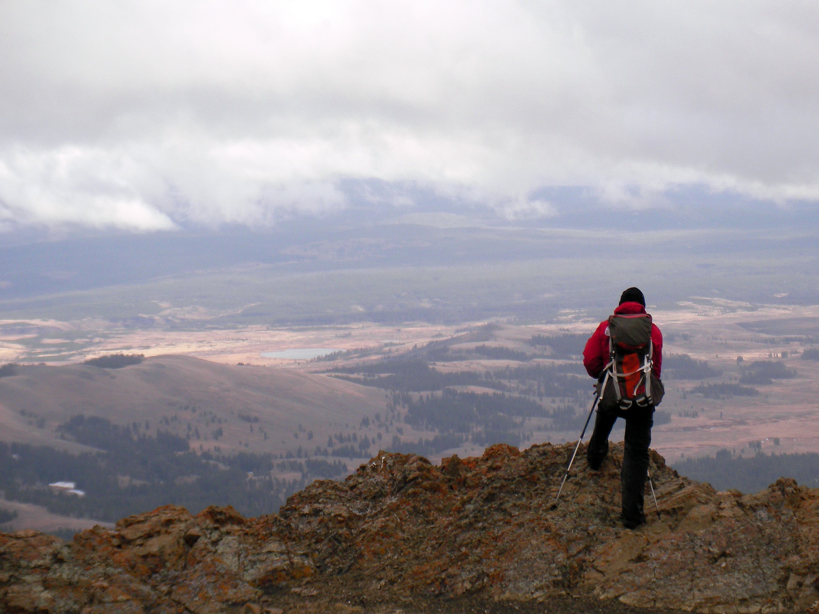
Summit views of the Chalk Cliffs and the Arkansas River Valley to the northeast.
©Timm Paxson
Saddle
Location: 38.6733055114746, -106.246681213379
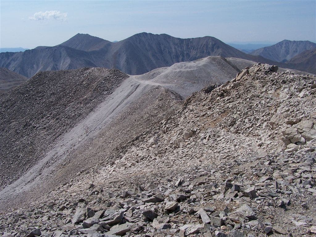
Looking back at the saddle at the start of the final summit climb.
©Timm Paxson
Final summit climb
Location: 38.672664642334, -106.246871948242
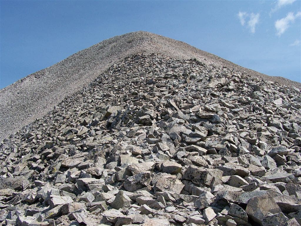
The final pyramid climb.
©Timm Paxson
Mount White
Location: 38.6624450683594, -106.25496673584
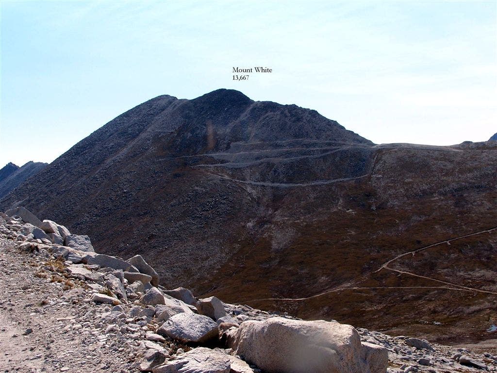
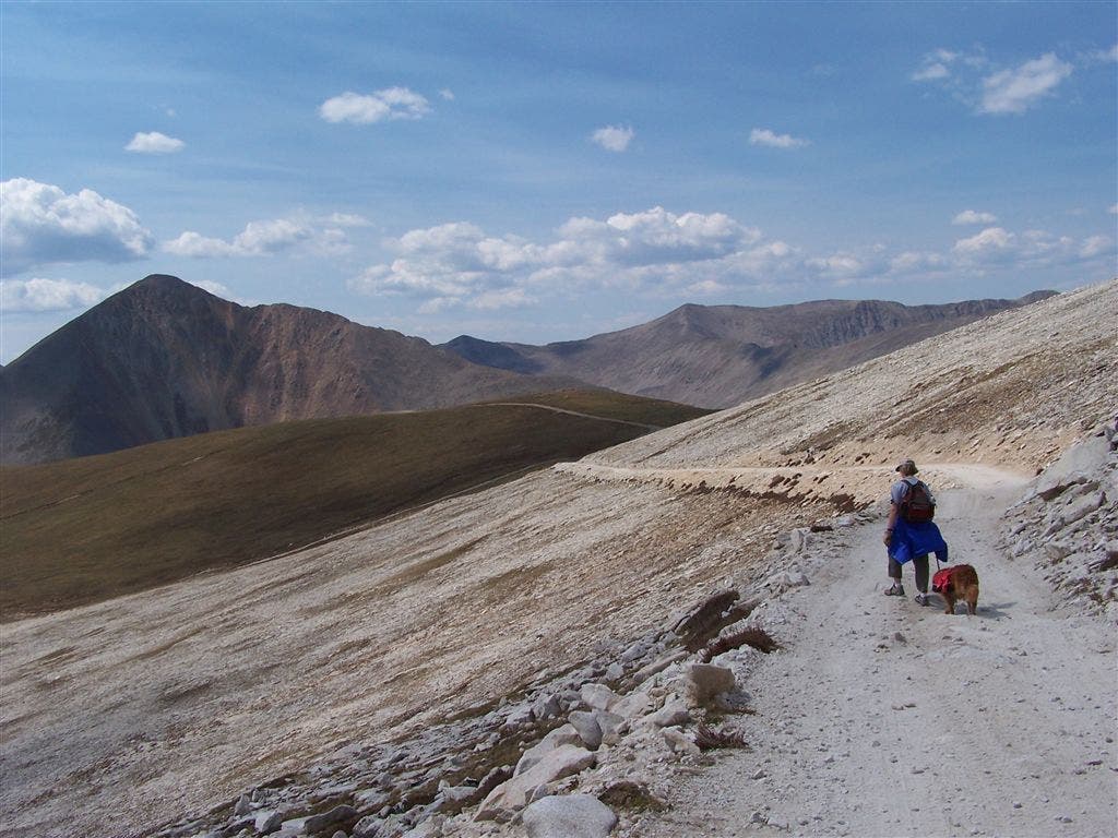
The trail rejoins the road on the southern flank of the ridge and as the climb continues, the road turns east and Mount White is the centerpiece.
©Timm Paxson
Ridge views
Location: 38.663272857666, -106.24925994873
Mounts Shavano and Tabeguache command the southern view from the ridge.
©Timm Paxson
Views of Tabeguache and Shavano
Location: 38.6620750427246, -106.251014709473
©Timm Paxson
The road to the ridge
Location: 38.6639175415039, -106.255157470703
©Timm Paxson
Switchbacks
Location: 38.6682434082031, -106.255889892578
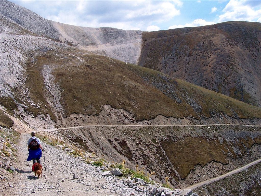
Views looking down into Baldwin Gulch.
©Timm Paxson
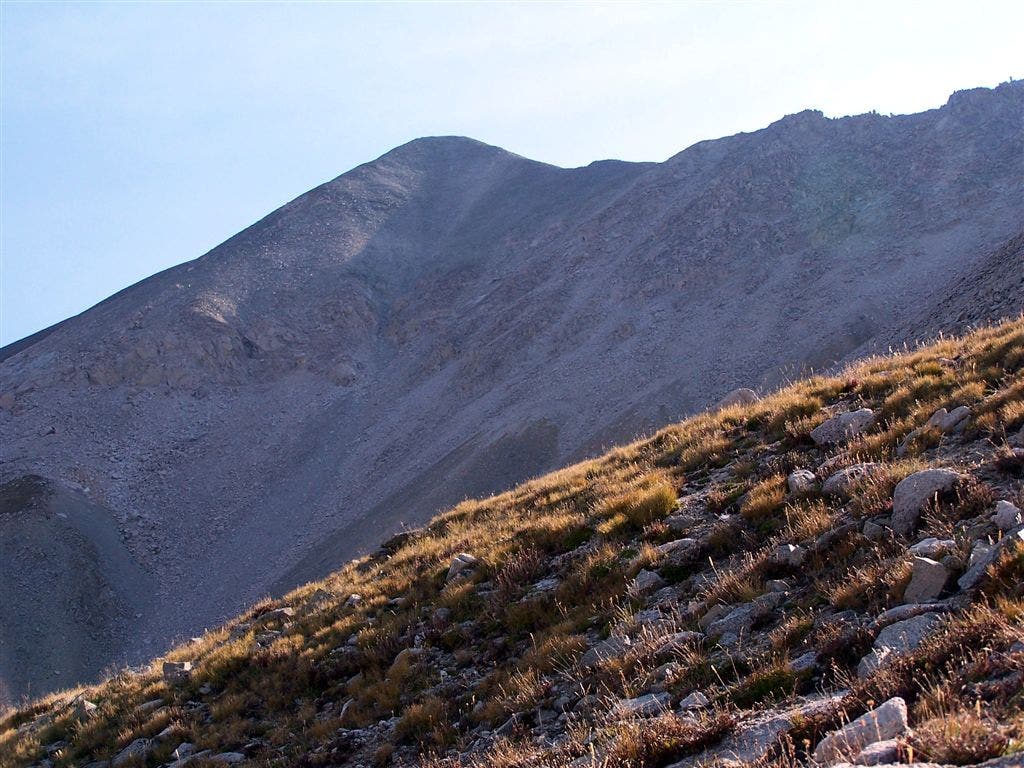
Mount Antero
Location: 38.668888092041, -106.257545471191
A closer look at Antero’s summit.
©Timm Paxson
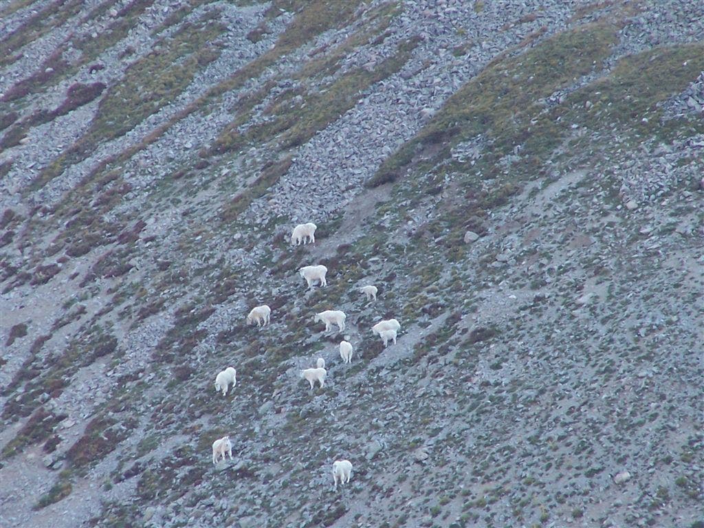
Mountain goats
Location: 38.6691665649414, -106.256629943848
A herd of mountain goats grazing on the west flank of Antero.
©Timm Paxson
Distant views of Antero
Location: 38.6689796447754, -106.260398864746
One of the first views of the Antero summit from the road.
©Timm Paxson
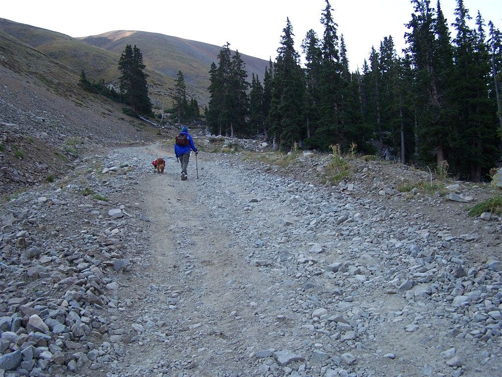
Nearing treeline
Location: 38.6708221435547, -106.265007019043
©Timm Paxson
MAT001
Location: 38.7100067138672, -106.291557312012
From Baldwin Gulch trailhead, follow steep 4WD road SE
MAT002
Location: 38.6824035644531, -106.272872924805
Turn L @ jct. (upper 4WD parking area); cross Baldwin Creek and head S into Baldwin Gulch on dirt road
MAT003
Location: 38.673526763916, -106.267219543457
Set up camp or continue heading S through Baldwin Gulch
MAT004
Location: 38.670337677002, -106.264259338379
Skirt the forest’s edge as dirt road curves to the S
MAT005
Location: 38.6661567687988, -106.262474060059
Pass treeline, then begin switchback ascent up Mt. Antero’s W slopes
MAT006
Location: 38.6669921875, -106.258682250977
Look across rocky slopes for herds of mountain goats grazing on low-growing grasses
MAT007
Location: 38.6642875671387, -106.254768371582
Bear L @ Y onto trail
MAT008
Location: 38.6626510620117, -106.255554199219
Turn L @ jct. where trail reconnects to the 4-wheel drive road on S flank of the ridge; Mt. White’s rounded peak dominates E skyline
MAT009
Location: 38.6621055603027, -106.249839782715
Bear L and follow road as it ascends to the NNE
MAT010
Location: 38.6657638549805, -106.247947692871
Climb another set of switchbacks towards the rocky saddle
MAT011
Location: 38.6678581237793, -106.247856140137
Look to the S for views of neighboring 14ers–Tabeguache Peak and Mt. Shavano; walk the ridgeline N traversing boulder fields and alpine tundra; road ends in 250 ft.
MAT012
Location: 38.6721611022949, -106.247772216797
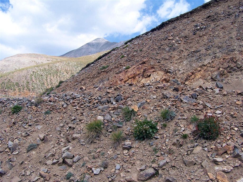
Pass a quartz deposit (Antero is noted for its aquamarine, topaz, and quartz crystals)
MAT013
Location: 38.6727676391602, -106.246932983398
Final summit push; maneuver through rocky, boulder-filled slopes @ 14,000 ft. to reach Antero’s pyramid-shaped peak
MAT014
Location: 38.6741218566894, -106.246215820312
Mt. Antero (14,269 ft.): Rocky summit provides sky-high views of the Sawatch Range and the bare, rocky basin below. To the NE, the Chalk Cliffs rise above the Arkansas River Valley; retrace route